The best running trails in Urcuqui
4.5
(6)
158
runners
9
runs
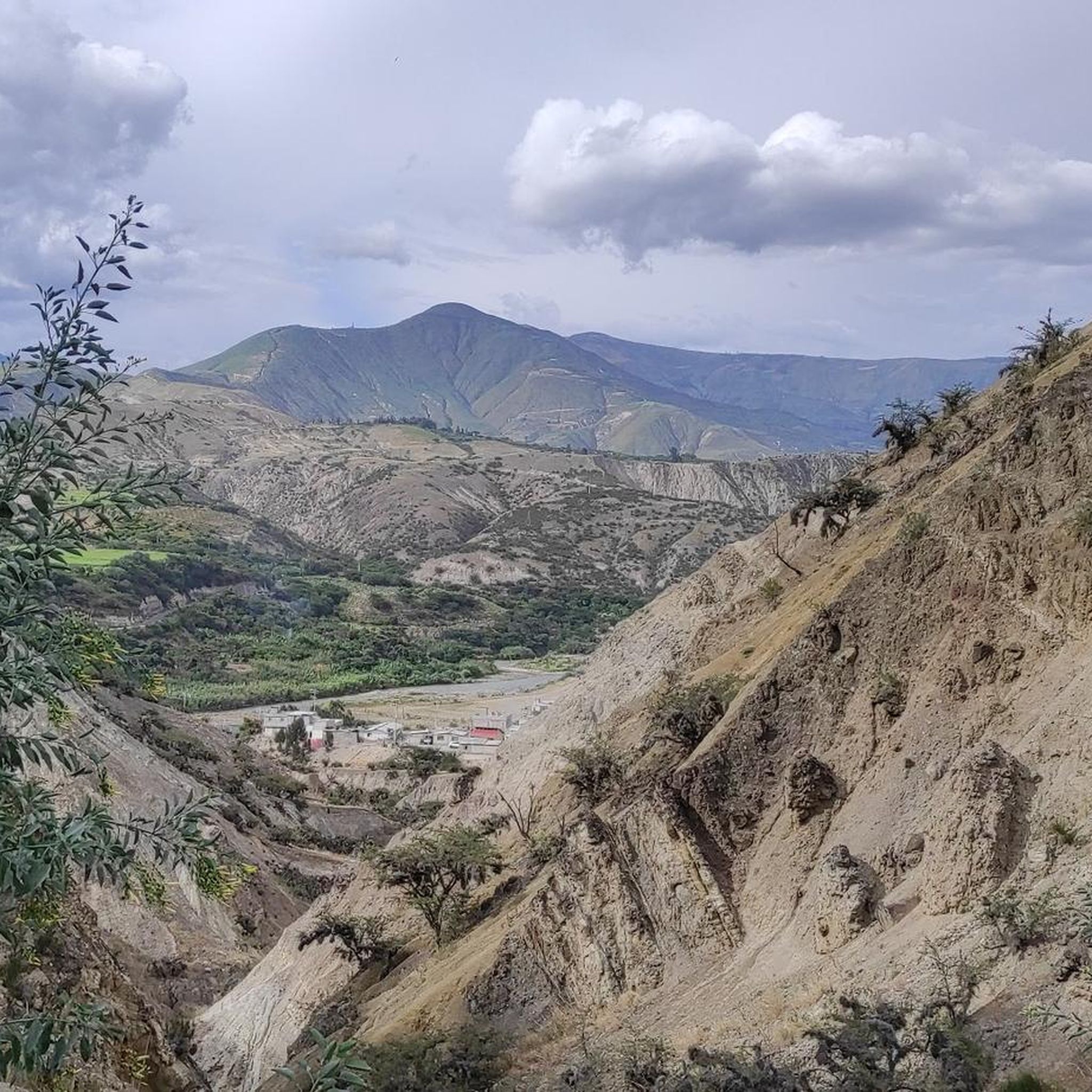
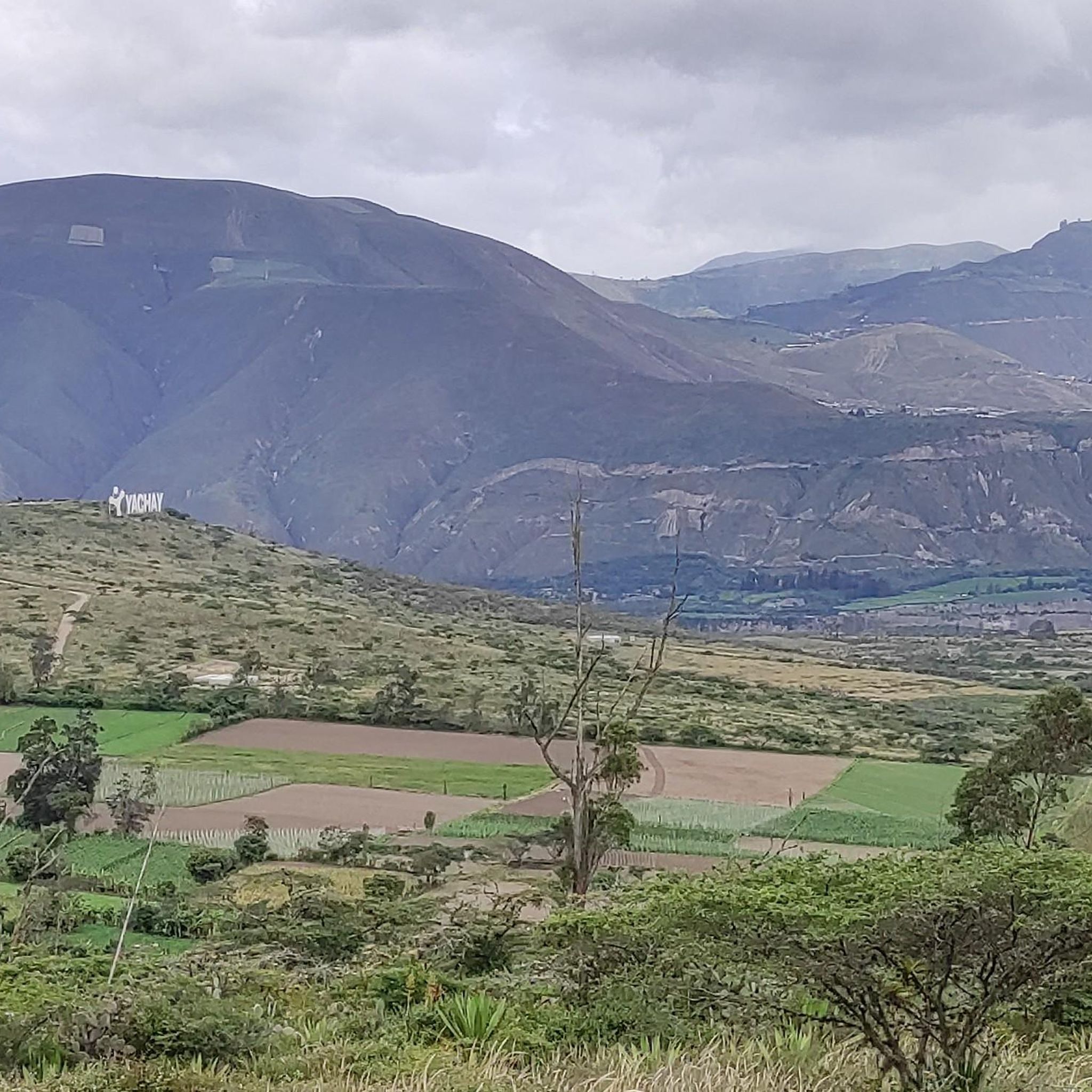
Jogging in Urcuqui offers diverse terrain across its mountainous landscapes and volcanic features. The region is characterized by prominent volcanoes, such as Cerro Imbabura, and high-altitude Páramo grasslands, providing varied elevation changes for runners. Crater lakes like Laguna de Cuicocha, though a short drive away, influence the scenic routes in the broader area, while local rivers and hills contribute to the natural environment.
Best jogging routes in Urcuqui
- The most popular jogging route is Ciudad Blanca Circuit loop from San…
Last updated: July 10, 2026
3.5
(2)
30
runners
5.78km
00:36
30m
30m
Moderate run. Good fitness required. Mostly paved surfaces. Suitable for all skill levels.
5.0
(2)
23
runners
12.8km
01:24
220m
220m
Moderate run. Good fitness required. Mostly paved surfaces. Suitable for all skill levels.

Sign up for free
5.0
(2)
16
runners
Moderate run. Good fitness required. Mostly paved surfaces. Suitable for all skill levels.
15
runners
12.2km
01:15
40m
40m
Moderate run. Good fitness required. Mostly paved surfaces. Suitable for all skill levels.
10
runners
12.7km
01:27
350m
350m
Hard run. Very good fitness required. Mostly paved surfaces. Suitable for all skill levels.
Get access to more routes and recommendations from other explorers.
Sign up for free
Already have an account?
Our route recommendations are based on thousands of hikes, rides, and runs completed by other people on komoot.
Start today with a free account
Your next adventure awaits.
Login or Signup
Popular around Urcuqui
Tips from the Community

The lake is called Blood Lake because the Spaniards slaughtered 40,000 indigenous people. The lake was bright blue until 2020, when someone said they should put lobsters there (but they don't taste good). But with that came an algae plague and the lake is now green. Even if you are no longer allowed to swim, it is still a popular destination. There is a cycle and footpath along the lake and there is also a (car) race track.
2
0

With what kind of transmission can this route be done? Greetings
1
0

Frequently Asked Questions
How many running routes are available in Urcuqui?
Urcuqui offers a selection of 9 dedicated running routes. These include 2 easy, 6 moderate, and 1 difficult trail, catering to various fitness levels.
What kind of terrain can I expect on Urcuqui's jogging paths?
The jogging paths in Urcuqui feature diverse terrain, from urban circuits to more challenging routes through volcanic hills and high-altitude Páramo grasslands. You can expect varied elevation changes, offering a dynamic running experience.
Are there any circular running routes in Urcuqui?
Yes, several circular running routes are available. For instance, the Ciudad Blanca Circuit – Avenida Perimetral de Ibarra loop from Ibarra is a moderate 13.5 km (8.4 miles) option, and the Ciudad Blanca Circuit loop from Ibarra covers 12.1 km (7.5 miles).
What natural features or landmarks can I see while jogging in Urcuqui?
While jogging in the broader Urcuqui area, you can experience stunning natural features. The region is characterized by majestic volcanoes like Cerro Imbabura and high-altitude Páramo landscapes. Although a short drive away, the scenic Laguna de Cuicocha offers breathtaking views. You might also encounter local rivers and viewpoints such as Viewpoint or Miguel Arcángel Viewpoint.
Are there any easy or beginner-friendly running routes in Urcuqui?
Yes, Urcuqui has 2 easy running routes perfect for beginners or those looking for a relaxed jog. These paths generally have less elevation gain and are suitable for a gentler pace.
When is the best time of year to go running in Urcuqui?
Urcuqui's climate, being near the equator, doesn't have extreme seasonal variations. However, the region can experience distinct wet and dry periods. Generally, the drier months offer more comfortable conditions for running, with clearer views of the volcanoes and Páramo landscapes.
What do other runners enjoy most about the trails in Urcuqui?
The running routes in Urcuqui are highly rated by the komoot community, with an average score of 5.0 stars from 3 reviews. Runners often praise the varied terrain, from urban paths to hilly rural trails, and the opportunity to experience the region's volcanic landscapes.
Are there any running routes that offer significant elevation challenges?
For those seeking a challenge, Urcuqui offers routes with significant elevation. The Running loop from El Sagrario, for example, is a difficult 12.7 km (7.9 miles) trail with over 350 meters (1,150 feet) of ascent, winding through hilly terrain.
Can I find accommodation or cafes near the running trails in Urcuqui?
While specific cafes or accommodations directly adjacent to every trail might vary, Urcuqui and its surrounding towns offer various amenities. After your run, you can explore local options for refreshments and lodging. The region also provides opportunities for cultural immersion, such as visiting local markets in nearby Otavalo.
Are there any long-distance running options in the Urcuqui area?
Yes, for runners looking for longer distances, routes like the Running loop from El Olivo Alto offer a moderate 12.8 km (7.9 miles) path through the countryside. The region also hosts specific 'Urcuqui Trail' events with categories up to 30k, indicating a network of longer, well-defined trails.
Is public transport available to access the running routes in Urcuqui?
Information on direct public transport to every trailhead is not readily available. However, Urcuqui is a populated area, and local transport options like buses or taxis would likely connect you to the general vicinity of many routes. It's advisable to check local transport schedules upon arrival.
Most popular routes in Urcuqui
Most popular attractions in Urcuqui

Get inspired with the komoot mobile app


Explore more
Browse the best Running Trails & Routes in other regions.
