The best cycling routes in Urcuqui
4.4
(8)
81
riders
8
rides
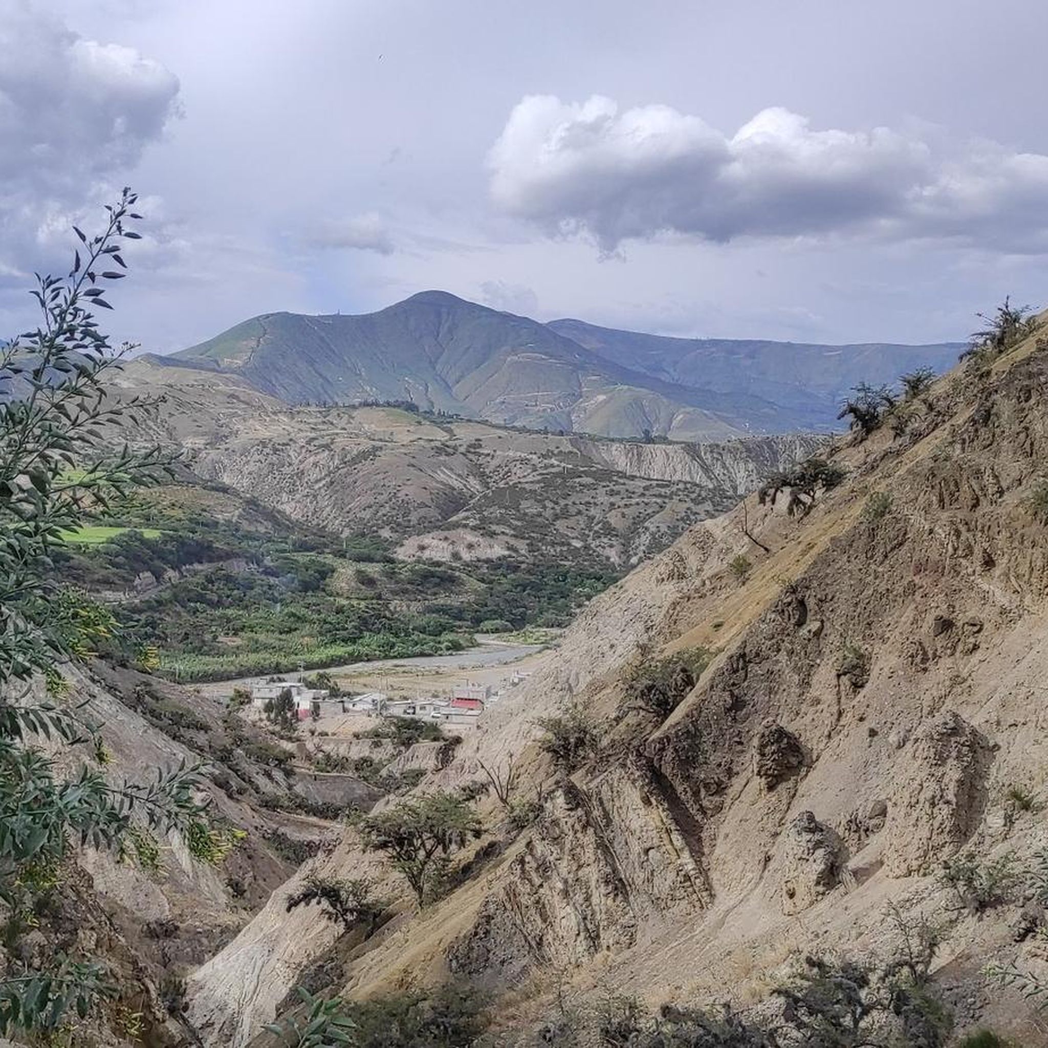
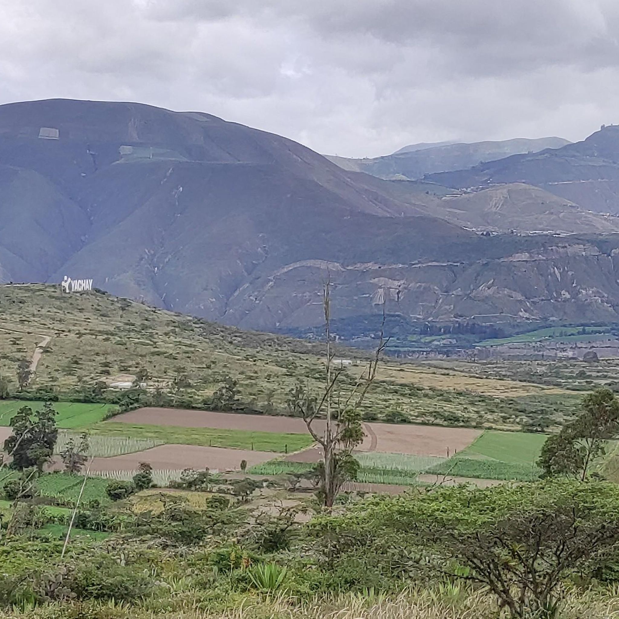
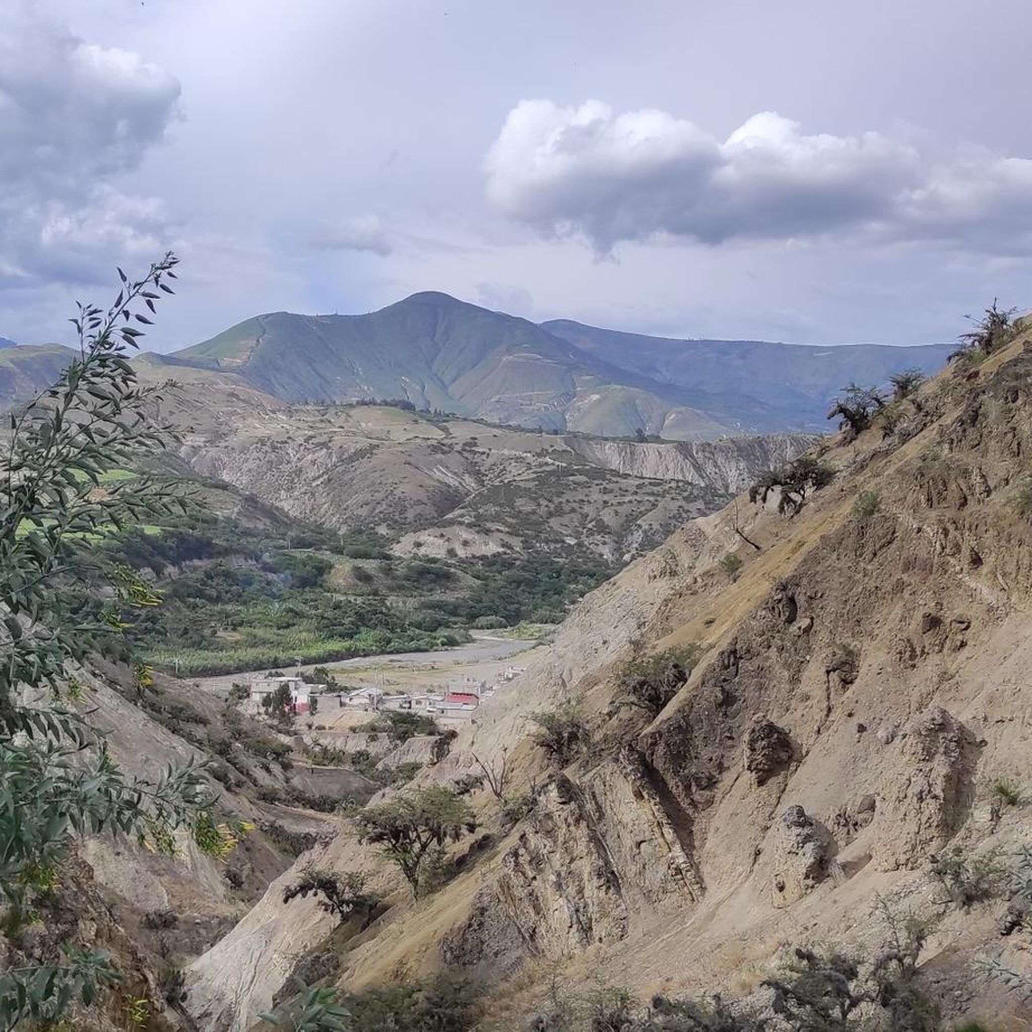
Touring cycling routes in Urcuqui traverse a landscape characterized by significant elevation changes, including high-altitude páramos and routes around lakes. The region's terrain features a mix of agricultural areas, small towns, and natural environments. Many routes involve substantial climbs and descents, offering challenging experiences for touring cyclists.
Best touring cycling routes in Urcuqui
- The most popular touring cycling route is Zuleta – Santa Marianita de San Antonio loop from Ibarra, a 39.6 miles (63.7 km) trail that takes 4…
Last updated: July 4, 2026
5.0
(3)
21
riders
66.3km
04:58
1,160m
1,160m
Hard bike ride. Very good fitness required. Mostly paved surfaces. Suitable for all skill levels.
3.5
(4)
17
riders
13.1km
00:52
170m
170m
Moderate bike ride. Good fitness required. Mostly paved surfaces. Suitable for all skill levels.

Sign up for free
15
riders
59.8km
04:17
1,110m
1,110m
Hard bike ride. Very good fitness required. Mostly paved surfaces. Suitable for all skill levels.
4.0
(2)
13
riders
47.3km
03:10
650m
650m
Hard bike ride. Very good fitness required. Mostly paved surfaces. Suitable for all skill levels.
9
riders
110km
07:23
1,690m
1,690m
Hard bike ride. Very good fitness required. Mostly paved surfaces. Suitable for all skill levels.
Get access to more routes and recommendations from other explorers.
Sign up for free
Already have an account?
Our route recommendations are based on thousands of hikes, rides, and runs completed by other people on komoot.
Start today with a free account
Your next adventure awaits.
Login or Signup
Popular around Urcuqui
Tips from the Community


If you want to mix kilometers and tranquility, this route is excellent.
0
0


The town of Otavalo is located at 2,532 meters above sea level. It offers many services and is perfect for a few days' break. Worth visiting is the Mercado Municipal 24 de Mayo which offers a wide choice of fresh local products and, above all, a food court in which to refresh yourself!
2
0
This stretch of asphalt road connects Conaqui with Imantag. The road is quiet and passes through cultivated fields and hills. A very picturesque panorama.
0
0

Super campsite with a German café, W-LAN, kitchen, restaurant, washing machine, hot shower!
0
0

With what kind of transmission can this route be done? Greetings
1
0

Frequently Asked Questions
What are the general characteristics of touring cycling routes in Urcuqui?
Touring cycling routes in Urcuqui are known for significant elevation changes, traversing high-altitude páramos and scenic areas around lakes. The terrain offers a mix of agricultural landscapes, small towns, and natural environments, with many routes featuring substantial climbs and descents.
How many touring cycling routes are available in Urcuqui?
There are 8 touring cycling routes available in Urcuqui, ranging from moderate to difficult. These routes have been explored by over 90 touring cyclists using komoot.
Are there any easy or moderate touring cycling routes for beginners in Urcuqui?
While many routes in Urcuqui are challenging, there is one moderate route suitable for those looking for a less strenuous ride: the Camping Finca Sommerwind – Yahuarcocha Lake loop from Ibarra. This 8.7-mile (14.0 km) path circles the scenic Yahuarcocha Lake, offering a more accessible experience.
What kind of elevation gain can I expect on Urcuqui's touring cycling routes?
Urcuqui's routes often feature significant elevation gain. For example, the Santa Marianita de San Antonio loop from Ibarra covers 44.6 km with over 610 meters of ascent, while the longer Zuleta – Otavalo Town Center loop from Ibarra spans 108.7 km with over 1,670 meters of climbing.
What is the best time of year to go touring cycling in Urcuqui?
Due to Urcuqui's high-altitude location, weather can be variable. Generally, the drier months offer more predictable conditions for cycling. However, be prepared for potential changes in weather, including cooler temperatures and rain, especially in the páramo areas, regardless of the season.
What should I wear for touring cycling in Urcuqui's varied terrain?
Given the significant elevation changes and high-altitude environments, layering is crucial. Pack moisture-wicking base layers, insulating mid-layers, and a waterproof/windproof outer shell. Gloves, a hat, and sun protection are also recommended, as conditions can change rapidly from warm sun to cool, windy, or rainy weather.
Are there any circular touring cycling routes in Urcuqui?
Yes, many of Urcuqui's touring cycling routes are loops. A notable example is the Páramo de Iruguincho – Road to Imantag loop from Ibarra, which is a challenging 37.5-mile (60.3 km) trail leading through high-altitude páramo landscapes.
What can I see along the touring cycling routes in Urcuqui?
Along the routes, you can experience diverse landscapes and points of interest. The Yahuarcocha Lake is a prominent feature, and you might encounter sections of the Road to Imantag. There are also several scenic viewpoints, such as the Viewpoint and Miguel Arcángel Viewpoint, offering panoramic vistas of the region.
What do other touring cyclists enjoy most about cycling in Urcuqui?
The area is highly rated by the komoot community, with an average score of 4.8 stars from over 8 reviews. Reviewers often praise the challenging ascents, scenic lake views, and the unique high-altitude páramo environments that define the touring cycling experience in Urcuqui.
Are there cafes or places to rest near the touring cycling routes in Urcuqui?
While specific cafes are not listed for each route, many routes pass through or near small towns and agricultural areas where local eateries and shops can be found. It's advisable to carry sufficient water and snacks, especially on longer routes or those traversing more remote páramo sections.
Most popular routes in Urcuqui
Most popular attractions in Urcuqui

Get inspired with the komoot mobile app


Explore more
Browse the best Cycling routes in other regions.
