The best cycling routes in Tlalnelhuayocan
4.4
(44)
228
riders
28
rides
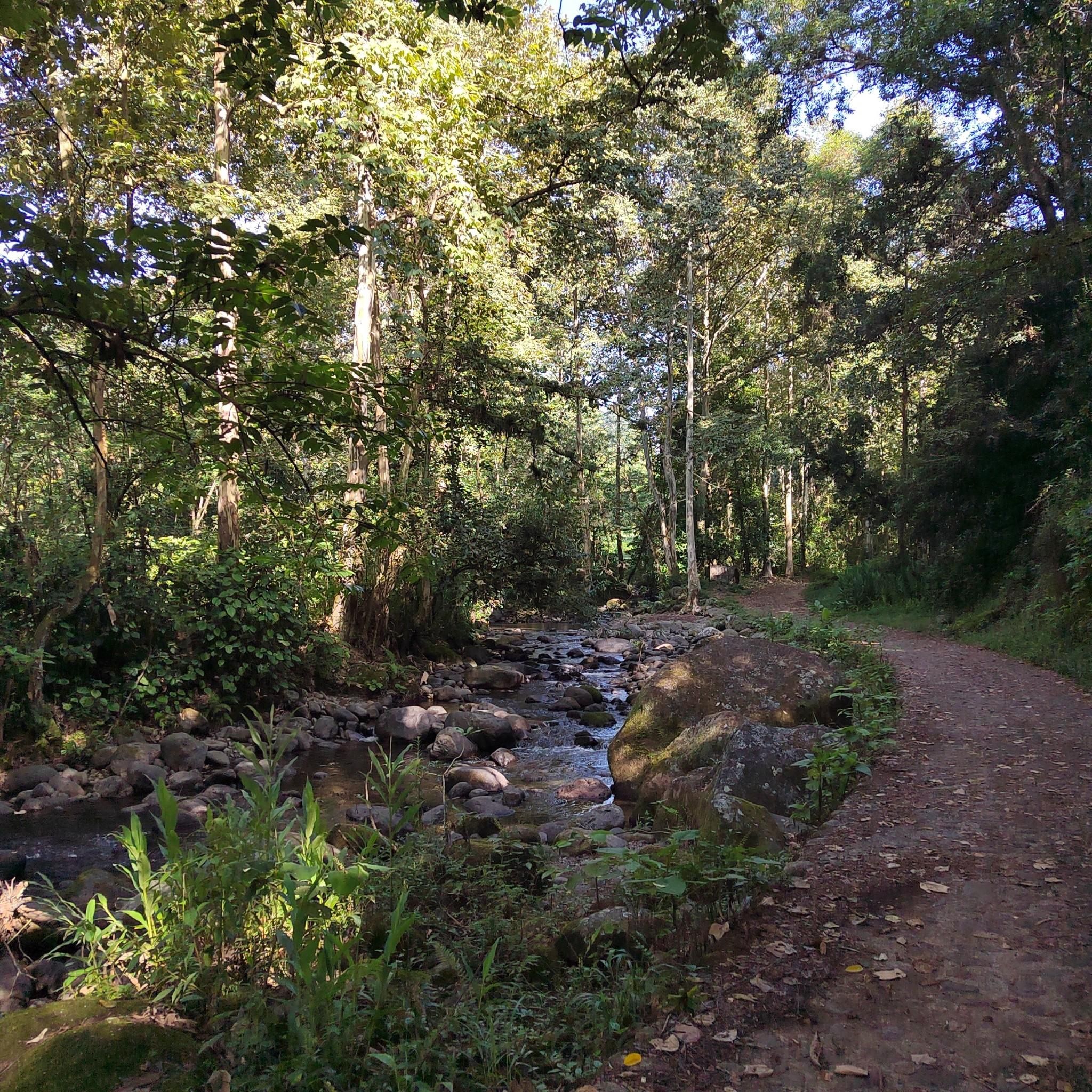
Touring cycling in Tlalnelhuayocan offers routes through varied terrain, characterized by significant elevation changes and natural landscapes. The region features a mix of forested areas and open stretches, providing diverse cycling experiences. Routes often navigate through rolling hills and valleys, with some trails presenting challenging ascents. This area is suitable for cyclists seeking to explore the natural environment of Veracruz.
Best touring cycling routes in Tlalnelhuayocan
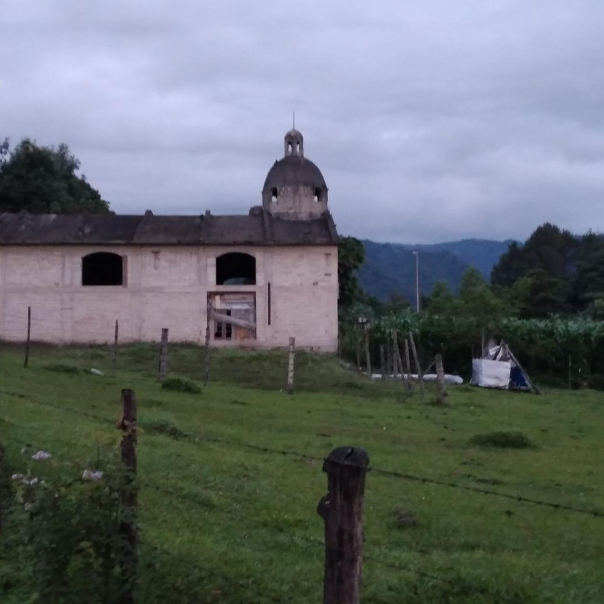
- The most popular touring cycling route is Abandoned Chapel – Rancho Viejo loop from…
Last updated: July 2, 2026
4.8
(8)
39
riders
35.6km
02:19
500m
500m
Hard bike ride. Very good fitness required. Mostly paved surfaces. Suitable for all skill levels.
3.0
(1)
20
riders
32.4km
02:18
650m
650m
Hard bike ride. Very good fitness required. Mostly paved surfaces. Suitable for all skill levels.

Sign up for free
4.6
(11)
29
riders
20.6km
01:19
200m
200m
Moderate bike ride. Good fitness required. Mostly paved surfaces. Suitable for all skill levels.
4.5
(8)
20
riders
Moderate bike ride. Good fitness required. Mostly paved surfaces. Suitable for all skill levels.
5.0
(2)
12
riders
50.1km
03:30
860m
860m
Hard bike ride. Very good fitness required. Mostly paved surfaces. Suitable for all skill levels.
5.0
(4)
9
riders
20.4km
01:23
330m
330m
Moderate bike ride. Good fitness required. Mostly paved surfaces. Suitable for all skill levels.
9
riders
41.7km
02:46
600m
600m
Hard bike ride. Very good fitness required. Mostly paved surfaces. Suitable for all skill levels.
5
riders
18.6km
01:17
260m
260m
Moderate bike ride. Good fitness required. Mostly paved surfaces. Suitable for all skill levels.
5.0
(2)
6
riders
Moderate bike ride. Good fitness required. Mostly paved surfaces. Suitable for all skill levels.
3
riders
Moderate bike ride. Good fitness required. Mostly paved surfaces. Suitable for all skill levels.
Get access to more routes and recommendations from other explorers.
Sign up for free
Already have an account?
Our route recommendations are based on thousands of hikes, rides, and runs completed by other people on komoot.
Start today with a free account
Your next adventure awaits.
Login or Signup


Tips from the Community


Let's face it, we were born not only with two legs, but also with at least two wheels!
0
0

very rich handmade sweets.
0
0
Frequently Asked Questions
How many touring cycling routes are available in Tlalnelhuayocan?
There are nearly 30 touring cycling routes in Tlalnelhuayocan, offering a variety of experiences through the region's natural landscapes. These routes are highly rated by the komoot community, with an average score of 4.5 stars.
Are there easy touring bike trails suitable for beginners or families in Tlalnelhuayocan?
Yes, Tlalnelhuayocan offers some routes suitable for beginners and families. While many routes feature significant elevation changes, you can find easier options. For instance, the Bike loop from Parque Natura El Tejar Garnica is a moderate 5.6 km route that can be completed in under an hour, providing a good introduction to the area's cycling.
What are some challenging touring bike routes in Tlalnelhuayocan?
For experienced touring cyclists seeking a challenge, Tlalnelhuayocan has several difficult routes with substantial elevation gain. A notable option is the Loma Olmos – Cerro Zimpizahua loop from Reserva Estatal Predio Barragán, which spans 51.0 km and involves significant climbs and descents through diverse natural scenery.
What is the typical duration for touring bike trails in Tlalnelhuayocan?
The duration of touring bike trails in Tlalnelhuayocan varies widely depending on the route's distance and difficulty. Shorter, moderate routes like the Rancho Viejo – Dulcería Azteca loop from Xalapa can take around 1 hour 23 minutes, while longer, difficult routes such as the Abandoned Chapel – Rancho Viejo loop from Reserva Estatal Predio Barragán might require over 2 hours 18 minutes to complete.
Are there any loop bike trails in Tlalnelhuayocan?
Yes, many of the touring cycling routes in Tlalnelhuayocan are designed as loops, allowing you to start and finish at the same point. Examples include the Rancho Viejo loop from Reserva Estatal Predio Barragán and the Rancho Viejo – Dulcería Azteca loop from Carolino Anaya (Espina Blanca), which offer convenient circular journeys.
What is the best time of year to go touring cycling in Tlalnelhuayocan?
Tlalnelhuayocan generally offers pleasant cycling conditions for much of the year. However, the dry season, typically from November to May, is often preferred for touring cycling as it provides more stable weather and less chance of rain, making the trails more enjoyable.
Are there touring bike routes in Tlalnelhuayocan that offer good viewpoints?
Given the region's characteristic rolling hills and significant elevation changes, many routes in Tlalnelhuayocan naturally offer scenic viewpoints. While specific named viewpoints are not always marked, the diverse natural landscapes and forested areas provide ample opportunities for panoramic vistas, especially on routes traversing higher elevations like the Loma Olmos – Cerro Zimpizahua loop.
What should I bring for a touring bike trip in Tlalnelhuayocan?
For touring cycling in Tlalnelhuayocan, it's advisable to bring essentials such as sufficient water, snacks, sun protection, a basic repair kit, and appropriate cycling attire. Given the varied terrain and elevation changes, a helmet is crucial, and layers of clothing are recommended to adapt to changing temperatures.
What do other touring cyclists enjoy most about cycling in Tlalnelhuayocan?
The komoot community rates touring cycling in Tlalnelhuayocan highly, with an average score of 4.5 stars from over 30 reviews. Cyclists often praise the region's diverse natural landscapes, the challenge of its rolling hills and elevation changes, and the opportunity to explore varied terrain away from urban centers.
Is parking available near the touring bike trails in Tlalnelhuayocan?
Parking availability can vary depending on the specific starting point of your chosen route. Many routes begin near towns or natural reserves, where designated parking areas may be present. It's recommended to check the route details on komoot for specific parking information or consider starting from areas like Reserva Estatal Predio Barragán or Xalapa, which often have more infrastructure.
Are there any hidden gem touring bike routes in Tlalnelhuayocan?
While the most popular routes are well-known, exploring some of the less-trafficked moderate trails can reveal hidden gems. For instance, the Dulcería Azteca – Article 3 loop from Carolino Anaya (Espina Blanca) offers a substantial 34.1 km ride through varied terrain, providing a rewarding experience for those looking beyond the most frequented paths.

Get inspired with the komoot mobile app


Explore more
Browse the best Cycling routes in other regions.
