The best MTB trails in Tlalnelhuayocan
4.8
(60)
166
riders
30
rides
Mountain biking in Tlalnelhuayocan offers diverse terrain, characterized by mountainous landscapes and ecological parks. The region features significant elevation changes, providing both challenging climbs and exhilarating descents. Riders can explore a network of trails that wind through areas like Cerro Colorado and El Zapotal, often starting from natural areas such as Parque Ecológico Macuiltépetl. This varied environment makes Tlalnelhuayocan a compelling destination for mountain biking.
Best mountain bike trails in Tlalnelhuayocan
- The most popular mountain bike trail is Cerro Colorado…
Last updated: July 2, 2026
5.0
(9)
15
riders
41.1km
03:10
1,010m
1,010m
Hard mountain bike ride. Very good fitness required. Suitable for all skill levels.
5.0
(4)
12
riders
26.1km
01:53
540m
540m
Moderate mountain bike ride. Good fitness required. Suitable for all skill levels.

Sign up for free
4.8
(4)
12
riders
32.8km
02:38
810m
810m
Moderate mountain bike ride. Good fitness required. Suitable for all skill levels.
4.6
(5)
9
riders
18.1km
01:10
280m
280m
Easy mountain bike ride. Great for any fitness level. Suitable for all skill levels.
4.0
(2)
6
riders
52.9km
04:13
840m
840m
Moderate mountain bike ride. Good fitness required. Advanced riding skills necessary.
5.0
(2)
8
riders
27.6km
01:51
410m
410m
Moderate mountain bike ride. Good fitness required. Suitable for all skill levels.
5
riders
74.4km
05:47
1,880m
1,870m
Hard mountain bike ride. Very good fitness required. Suitable for all skill levels.
3
riders
19.6km
01:27
370m
370m
Moderate mountain bike ride. Good fitness required. Suitable for all skill levels.
5.0
(1)
4
riders
27.4km
02:11
440m
450m
Moderate mountain bike ride. Good fitness required. Advanced riding skills necessary.
5.0
(1)
5
riders
61.5km
04:48
1,590m
1,590m
Hard mountain bike ride. Very good fitness required. Suitable for all skill levels.
Get access to more routes and recommendations from other explorers.
Sign up for free
Already have an account?
Our route recommendations are based on thousands of hikes, rides, and runs completed by other people on komoot.
Start today with a free account
Your next adventure awaits.
Login or Signup


Tips from the Community


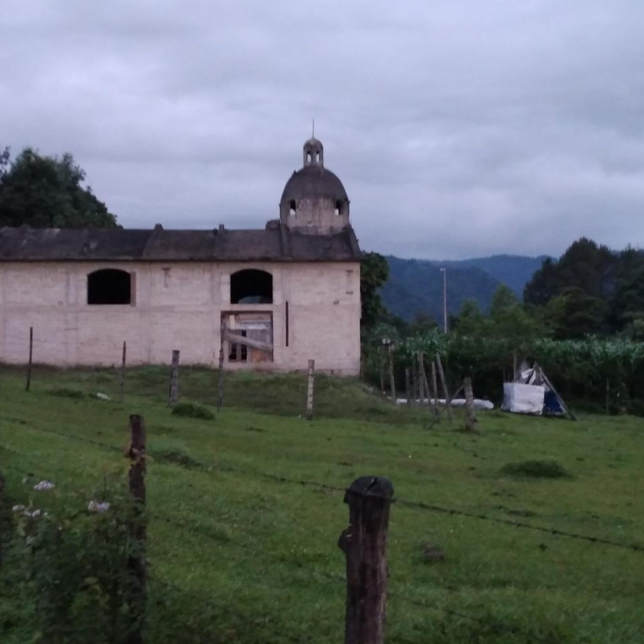
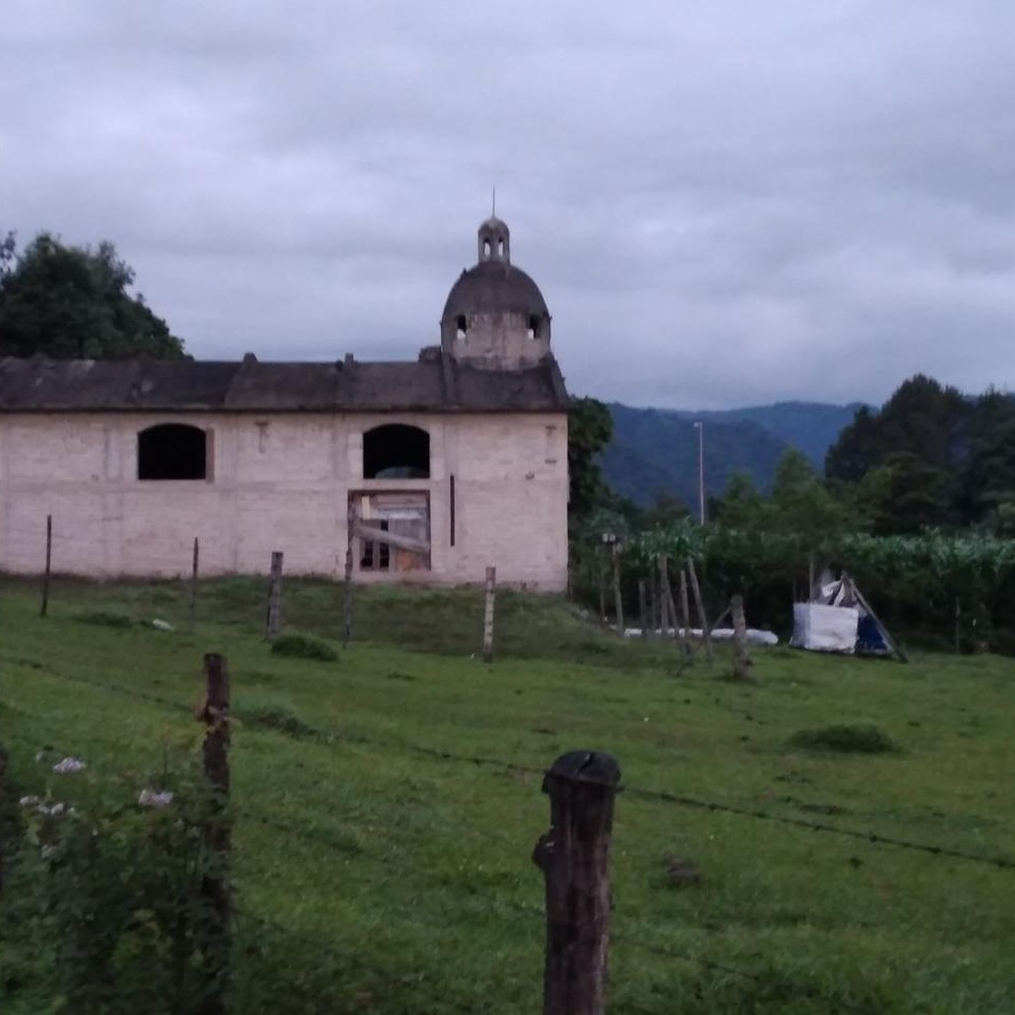
On the road, you can visit the restaurant Humo, queso, mole. Very rich.
0
0

Frequently Asked Questions
How many mountain bike trails are available in Tlalnelhuayocan?
Tlalnelhuayocan offers a network of over 30 mountain bike trails, catering to various skill levels from easy to difficult. This diverse selection ensures there's a route for almost every rider.
What types of terrain can I expect on the mountain bike trails in Tlalnelhuayocan?
The terrain in Tlalnelhuayocan is characterized by mountainous landscapes and ecological parks. You'll encounter significant elevation changes, providing both challenging climbs and exhilarating descents. Trails often wind through areas like Cerro Colorado and El Zapotal, offering a mix of natural beauty and varied riding surfaces.
Are there any easy mountain bike trails suitable for beginners in Tlalnelhuayocan?
Yes, Tlalnelhuayocan has a few easy mountain bike trails perfect for beginners. One option is the Big climb loop from Reserva Estatal Predio Barragán, which covers 18.1 km with moderate elevation gain, making it a good starting point for less experienced riders.
Which mountain bike trails offer the best views in Tlalnelhuayocan?
For scenic views, consider the Vista al Cofre de Perote loop from Reserva Estatal Predio Barragán. This moderate 52.9 km route offers extensive riding through varied terrain, with potential views towards the majestic Cofre de Perote. The region's mountainous landscape generally provides many picturesque spots.
What is the most challenging mountain bike trail in Tlalnelhuayocan?
The most challenging route in the area is the El Zapotal – Acajete loop from Xalapa. This difficult trail spans 74.4 km with significant elevation changes, taking approximately 5 hours and 46 minutes to complete. It connects several key locations and is the longest route in the region.
Are there any long-distance mountain bike routes in Tlalnelhuayocan?
Yes, for a longer ride, the El Zapotal – Acajete loop from Xalapa is the longest at 74.4 km. Another substantial option is the Acajete – Big climb loop from Reserva Estatal Predio Barragán, a difficult 61.4 km route that offers a significant endurance challenge.
Can I find circular mountain bike routes in Tlalnelhuayocan?
Many of the mountain bike trails in Tlalnelhuayocan are designed as loops, allowing you to start and finish at the same point. Examples include the popular Cerro Colorado – El Zapotal loop from Parque Ecológico Macuiltépetl and the Zoncua loop from Reserva Estatal Predio Barragán.
What do other mountain bikers say about the trails in Tlalnelhuayocan?
The mountain bike routes in Tlalnelhuayocan are highly rated by the komoot community, with an average score of 4.8 stars from over 50 reviews. Riders often praise the diverse terrain, the challenging climbs, and the natural beauty found within the ecological parks and mountainous areas.
Are there specific starting points for mountain bike trails in Tlalnelhuayocan?
Many routes in Tlalnelhuayocan originate from natural areas. For instance, the challenging Cerro Colorado – El Zapotal loop starts from Parque Ecológico Macuiltépetl. Other trails often begin near Reserva Estatal Predio Barragán, providing convenient access to the trail network.
What is the best time of year to go mountain biking in Tlalnelhuayocan?
While specific seasonal data isn't provided, generally, the best time for mountain biking in regions like Tlalnelhuayocan is during the dry season to avoid muddy conditions and ensure better trail access. It's always advisable to check local weather forecasts before heading out.
Are there any moderate mountain bike trails for intermediate riders?
Yes, Tlalnelhuayocan offers a significant number of moderate trails. The Cerro Colorado – Big climb loop from Reserva Estatal Predio Barragán is a moderate 26.1 km route, and the Big climb – Mesa de la Yerba loop from Reserva Estatal Predio Barragán is another good option at 32.8 km, providing a balanced challenge for intermediate riders.
What kind of natural features can I expect to see while mountain biking in Tlalnelhuayocan?
You can expect to ride through lush green forests and experience mountainous terrain with significant elevation changes. The region is home to ecological parks like Parque Ecológico Macuiltépetl, and trails often pass through areas such as Cerro Colorado and El Zapotal, offering a rich natural environment.
Most popular routes in Tlalnelhuayocan

Get inspired with the komoot mobile app


Explore more
Browse the best MTB trails in other regions.
