The best cycling routes around Finsevatnet
5.0
(12)
309
riders
4
rides
Touring cycling routes around Finsevatnet are characterized by high-altitude terrain, glacial lakes, and historic railway paths. The region features a landscape shaped by mountains and water, offering routes that traverse both open, rocky areas and paths alongside the Finsevatnet lake. Elevation changes are present, ranging from gentle lakeside paths to more significant climbs on longer routes.
Best touring cycling routes around Finsevatnet
- The most popular touring cycling route is Rallarvegen – Steinreich Pass Summit loop from Finse, a 12.1…
Last updated: August 11, 2026
5.0
(2)
21
riders
19.5km
01:53
170m
170m
Moderate bike ride. Good fitness required. Mostly paved surfaces. Suitable for all skill levels.
6
riders
16.9km
01:13
110m
110m
Easy bike ride. Great for any fitness level. Mostly paved surfaces. Suitable for all skill levels.

Sign up for free
5.0
(6)
232
riders
81.9km
06:26
790m
1,770m
Cycle the Rallarvegen from Haugastøl to Flåm, a difficult 50.9-mile route through Norway's stunning mountain and fjord landscapes.
5.0
(5)
59
riders
Hard bike ride. Very good fitness required. Mostly paved surfaces. Suitable for all skill levels.
Our route recommendations are based on thousands of hikes, rides, and runs completed by other people on komoot.
Start today with a free account
Your next adventure awaits.
Login or Signup



Tips from the Community

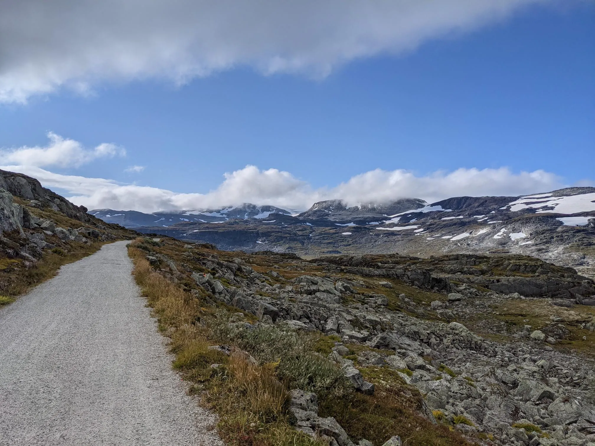
After all, it goes uphill from Finse by 73 m, which is hardly noticeable except for a short section behind Finse, as the Rallervegen follows the track of the old Bergen railway line. As in many places, here too a magnificent view over the high plateau is offered.
0
0
The Fagernutcafe is a cafe and at the same time a small museum about the Bergen Line with some beautiful exhibits and large-format photographs
0
0

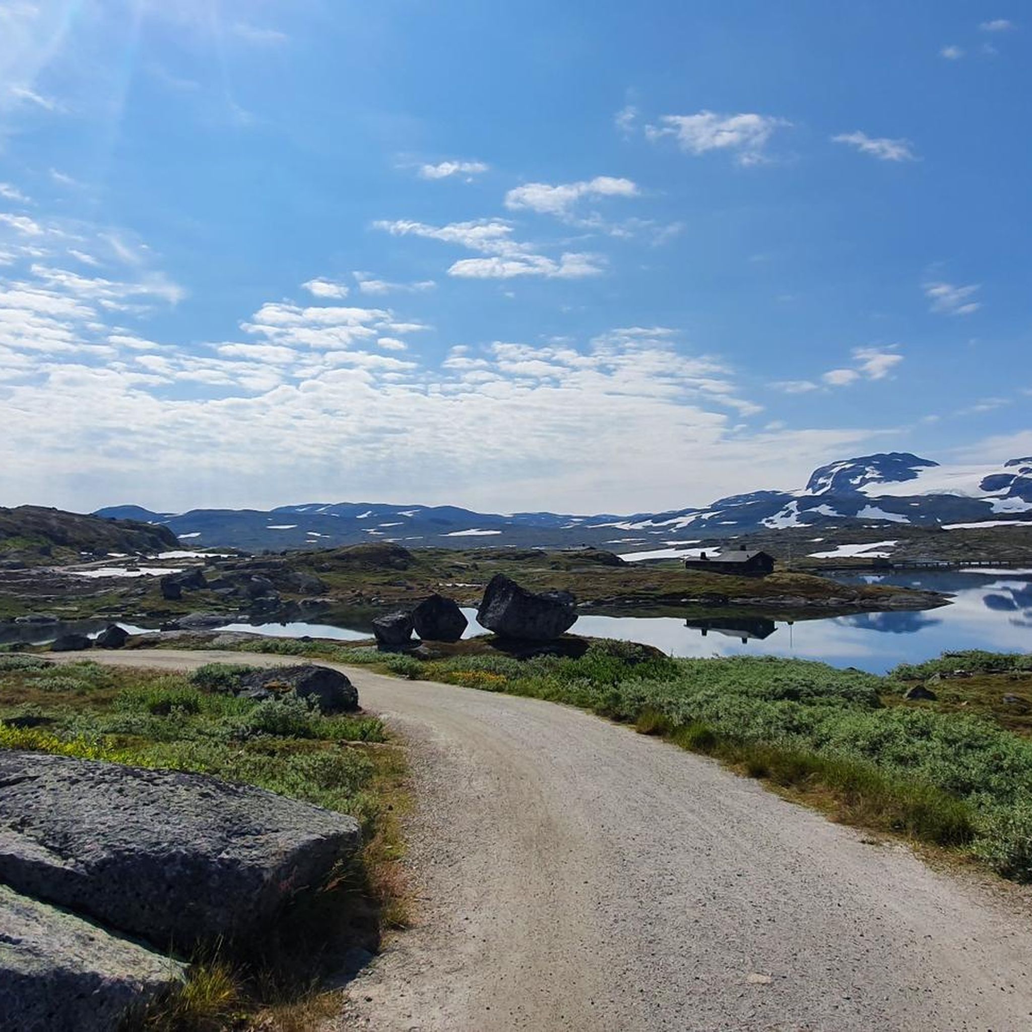
The gravel track along Nedsta Storurevatnet is one of the most scenic stretches of the route. It hugs the shoreline closely, with shimmering water on one side and steep mountainsides on the other. The surface is generally good, though it can be loose and stony in places.
1
0

The natural surroundings of Finse are exceptionally beautiful, making it a great starting point for various one-day and multi-day tours. The connection to the train line from Oslo to Bergen also makes travel to and from the area very convenient.
0
0
Finse Station is located on the railway line connecting Oslo and Bergen. Finse is the highest station in Scandinavia.
0
0

Peace, space, beautiful view
1
0

Small church with an adjacent cemetery. Easily accessible from the fjord.
0
0

The station is the destination of many cyclists on the Rallarvegen coming from Haugastøl. It is the highest station in Northern Europe at 1222 meters and is surrounded by a unique landscape. You can sit here for a break and wonder where all the people waiting for the train in this wilderness come from. The station is also famous for its webcam, which you can use to observe the Norwegian winter.
0
0
Frequently Asked Questions
What is the best time of year for touring cycling around Finsevatnet?
The prime season for touring cycling in the Finsevatnet area is typically from late June to September. During this period, most of the snow has melted, and the weather conditions are generally more favorable for cycling in this high-altitude mountain environment. Outside of these months, you can expect snow and ice, making many routes impassable or significantly more challenging.
Are there any easy touring cycling routes suitable for beginners or families near Finsevatnet?
Yes, there is an easy route available. The Finsehytta Hostel – Path by the Lake Near Finse loop from Finse is an easy 16.9 km path that follows the lake's edge, offering a relatively flat and scenic ride. This route is a good option for those looking for a less strenuous experience.
Where can I park my car if I want to cycle around Finsevatnet?
While Finse itself is car-free and primarily accessible by train, you can find parking options at Haugastøl. Haugastøl is a common starting point for sections of the Rallarvegen, and from there, you can access routes that lead towards Finsevatnet, such as the Rallarvegen Riverside Path – Path by the Lake Near Finse loop from Haugastøl.
What public transport options are available to reach the cycling routes around Finsevatnet?
The most convenient public transport option is the Bergen Line railway. Finse station is the highest point on this line and provides direct access to the Finsevatnet area and the Rallarvegen. Haugastøl is another station on the Bergen Line that serves as a popular starting point for many cycling tours in the region.
What kind of terrain can I expect on touring cycling routes in the Finsevatnet region?
The terrain around Finsevatnet is characterized by high-altitude landscapes, glacial lakes, and historic railway paths. You'll encounter a mix of gravel and sometimes rougher surfaces, especially on the Rallarvegen. Routes range from relatively flat paths along the lake to more significant climbs and descents through mountainous areas, often exposed to the elements.
Are there any circular touring cycling routes in the Finsevatnet area?
Yes, several routes are designed as loops. For example, the Rallarvegen – Steinreich Pass Summit loop from Finse offers a circular journey with mountain views. Another option is the easier Finsehytta Hostel – Path by the Lake Near Finse loop from Finse, which circles part of the lake.
What are some interesting places to explore or see along the touring cycling routes near Finsevatnet?
The region offers several notable points of interest. You can visit Finsehytta, a mountain lodge, or explore the Finse Mountain Village and Glacier Landscape. The historic Rallarvegen itself is a major attraction, offering stunning views and a unique cycling experience.
What do other touring cyclists enjoy most about cycling in Finsevatnet?
The area is highly rated by the komoot community, with an average score of 5.0 stars from over 12 reviews. Reviewers often praise the unique high-mountain landscape, the challenge and beauty of the Rallarvegen, and the sense of remoteness and natural grandeur that the Finsevatnet region offers.
What should I consider regarding weather and gear for cycling around Finsevatnet?
Due to the high-altitude and exposed nature of the Finsevatnet region, weather can change rapidly, even in summer. Be prepared for strong winds, rain, and cooler temperatures. Essential gear includes layers of clothing, waterproofs, gloves, a hat, and sturdy touring bikes suitable for gravel paths. Always check the forecast before heading out.
Are there any long-distance or more challenging touring cycling routes available?
Yes, for experienced touring cyclists looking for a challenge, routes like Rallarvegen: Haugastøl to Flåm offer a demanding long-distance experience. This route covers over 80 km with significant elevation changes, providing a full day's adventure through varied mountain terrain.
Can I find cafes or places to rest along the cycling routes near Finsevatnet?
Finse village, accessible via the Bergen Line, offers facilities including Finsehytta, a mountain lodge where you can find refreshments and accommodation. Along the Rallarvegen, especially between Haugastøl and Finse, facilities are sparse, so it's advisable to carry sufficient food and water.
Most popular routes around Finsevatnet
Most popular attractions around Finsevatnet

Get inspired with the komoot mobile app


Explore more
Browse the best Cycling routes in other regions.
