Top 9 Mountain Passes around Polaveno
Best mountain passes around Polaveno are situated in the Brescia mountains, providing access to various passes and peaks. This region features a natural environment with dense woods and historical routes. Polaveno serves as a starting point for exploring ridge lines that separate areas like Valle Trompia from Franciacorta, offering opportunities for outdoor activities. The area is known for its diverse terrain, including challenging climbs and scenic viewpoints.
Best mountain passes around Polaveno
- The most popular mountain passes is Sella dell'Oca…
Last updated: June 26, 2026
Sella dell'Oca Pass
Highlight • Mountain Pass
A place where nature reigns.
From here an …
Translated by Google •
Tip by

Passo Spino
Highlight • Mountain Pass
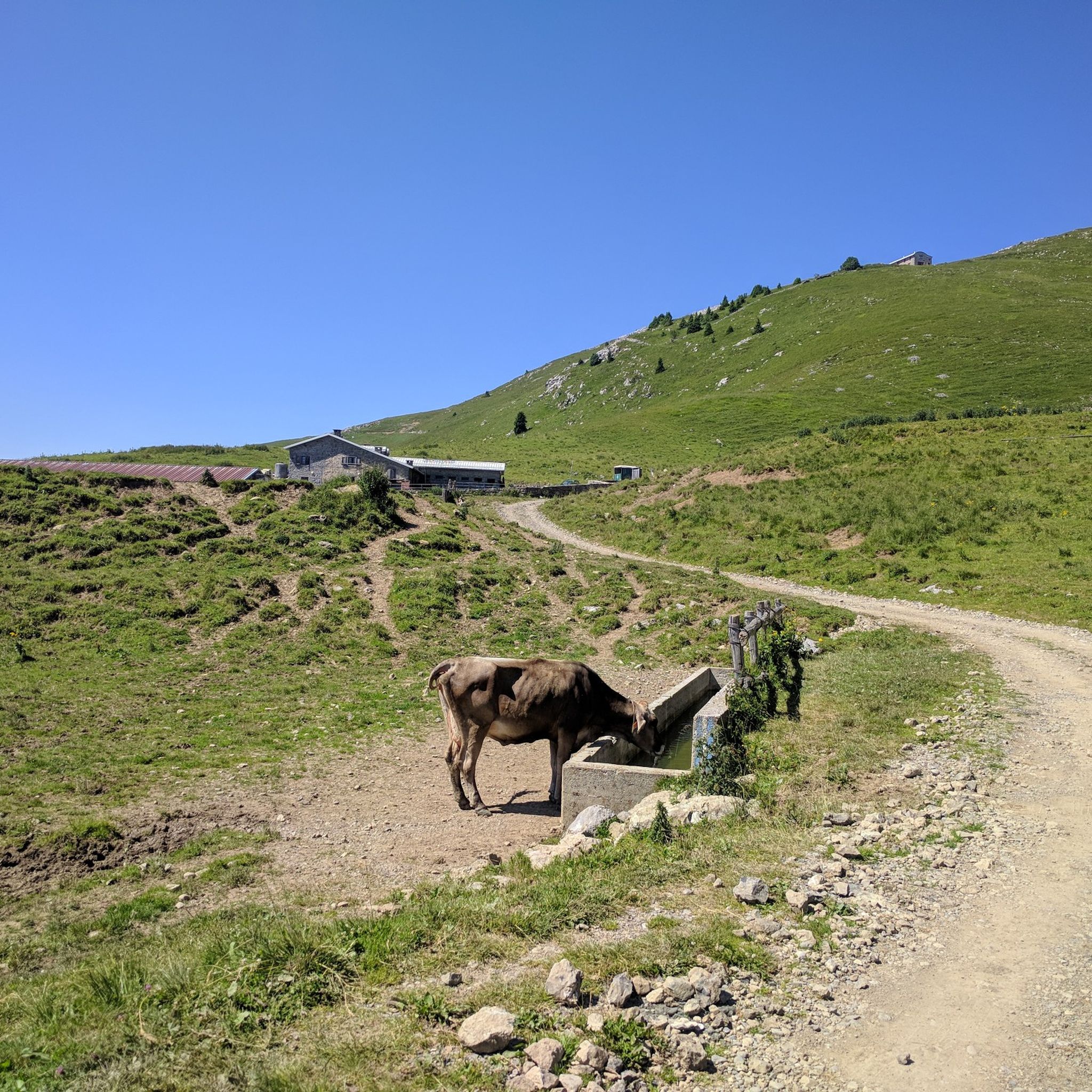
It is a small wooded pass, not marked by structures or refuges.
It is located on the road/mule track that connects the two main passes in the area:
Croce di Marone
Showing Translation
Tip by

Sign up now to discover places like this
Get recommendations on the best single tracks, peaks, & plenty of other exciting outdoor places.
Sign up for free
Forcella di Sale
Highlight • Mountain Pass
Translated by Google •
Tip by

San Fermo Pass (La Bratta)
Highlight (Segment) • Mountain Pass
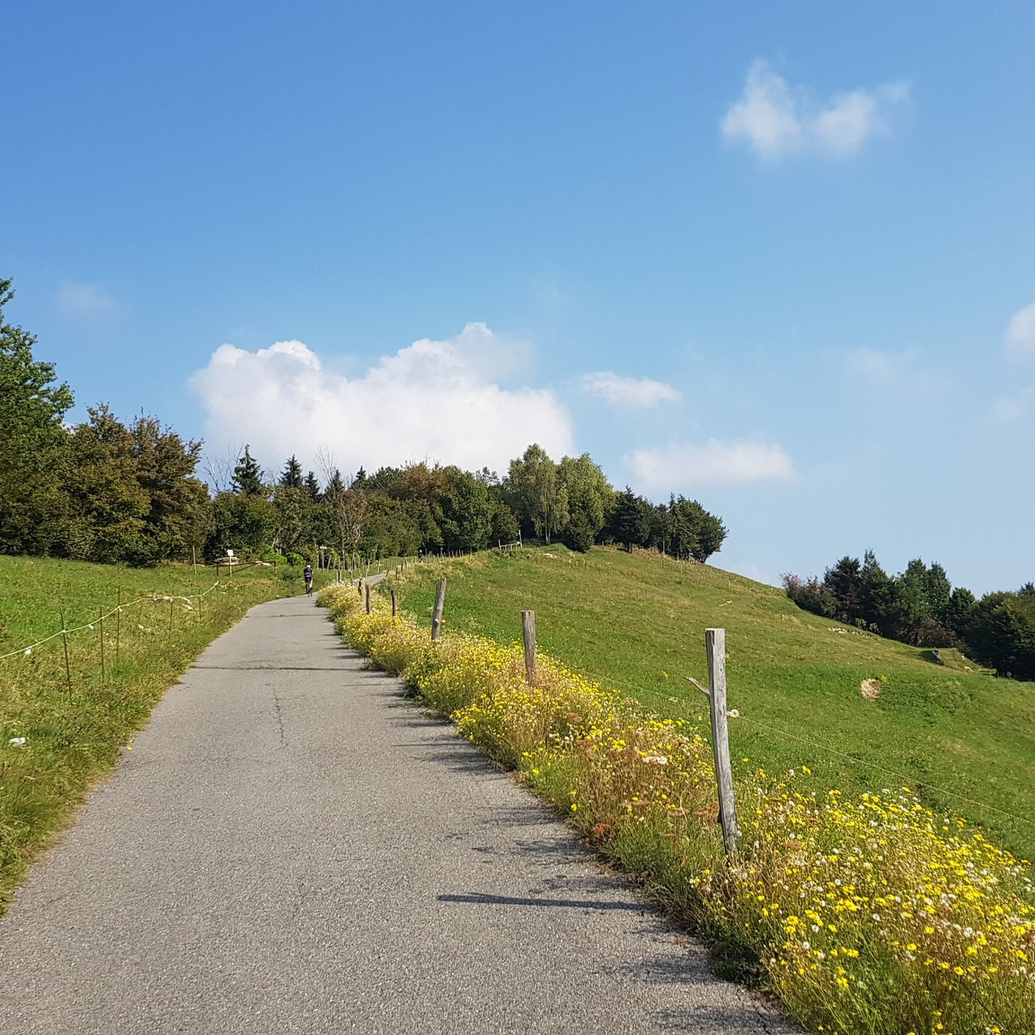
Vigolo - San Fermo uphill with mixed terrain: asphalt, concrete and a stretch of dirt road: also accessible by road bike. …
Translated by Google •
Tip by

Colmì
Highlight • Mountain Pass
Translated by Google •
Tip by

Sign up for free to discover even more mountain passes around Polaveno.
Sign up for free
Already have an account?
Start today with a free account
Your next adventure awaits.
Login or Signup
Tips from the Community


📌 Characteristics of Passo Spino (Sebino version) It is a small wooded pass, not marked by structures or refuges. It is located on the road/mule track that connects the two main passes in the area: Croce di Marone Forcella di Sale It is a transit point for MTB riders and hikers who follow the “Malghe in rete” loop. The section between Forcella di Sale and Passo Spino is predominantly downhill, with some short uphill sections. 🥾 Why it is important Passo Spino is useful as a reference point if: you are doing the Croce di Marone → Forcella di Sale → Noase → Sale Marasino loop you are riding the panoramic mountain road that connects the two main passes of Sebino you are climbing or descending by MTB along the “Malghe in rete” route It is not a panoramic viewpoint like Croce di Pezzolo or the Almana ridge: it is more of a technical passage along the ridge. 🗺️ Quick summary Forcella di Sale = pass at 1150 m, start of the Sentiero Benedetti Passo Spino = immediately after, on the road that continues towards Noase Croce di Marone = connected to both via the same mountain road
0
0
La Forcella di Sale is a pass at about 1150 m above Sale Marasino, a junction point between the Iseo Lake slope and Val Trompia, and direct access to the Filippo Benedetti Equipped Path towards Punta Almana. 📍 What it is and where it is located Official sources describe it as a take-off point for paragliding and a key passage for those climbing towards Almana or Guglielmo. Altitude: 1150 m Location: above Portole (Sale Marasino) Function: pass between Lake Iseo and Val Trompia, connected to Croce di Marone by a mountain road It is also the point where the Filippo Benedetti Equipped Path begins, one of the most scenic and technical stretches in the area. 🥾 How to reach it 1) From Sale Marasino (classic itinerary) The route starts from the car park above the village: first km on a steep asphalt road you reach Forcella di Sale after a few hairpin bends here is the gate that leads to the equipped path 2) From Croce di Marone A largely downhill connection, with short climbs, leads to Forcella di Sale passing through Passo Spino . 3) By MTB The road between Croce di Marone and Forcella di Sale is described as pleasant and panoramic, suitable for mountain biking . 🧗 Filippo Benedetti Equipped Path From the Forcella starts the most characteristic section of the hike towards Punta Almana: exposed passages short rocky sections where you need to use your hands it is not a via ferrata, but requires a sure footing and absence of vertigo spectacular panorama of the lake already from the ridge 🚴 For those climbing by bike The ascent from Sale Marasino is considered very hard: 6.7 km 918 m of elevation gain 13.7% average gradient last 2.5 km "almost vertical" according to reviews 🌄 Why it is an important point It is one of the two main passes of the eastern Sebino along with Croce di Marone It allows you to reach Punta Almana (via the ridge or via the equipped path) It is a take-off point for paragliding with a view of Monte Isola
0
0

It's challenging to get there, but the view will repay all the effort, then the paths you'll find here are really amazing, take a trip there
0
0

Remarkable climb, with truly challenging slopes but with a remarkable and solitary route.
0
0

You get there with effort and sweat but it's worth it, and shortly thereafter you can climb the Guglielmo
0
0

on 28 October 1944 the young partisans Mario Bernardelli and Giuseppe Zatti, aged 20 and 19, were shot by a fascist platoon returning from a roundup
1
0

If you start from Marone, the ride is long and demanding, but pleasant to the eyes..
0
0
Frequently Asked Questions
What kind of views can I expect from the mountain passes around Polaveno?
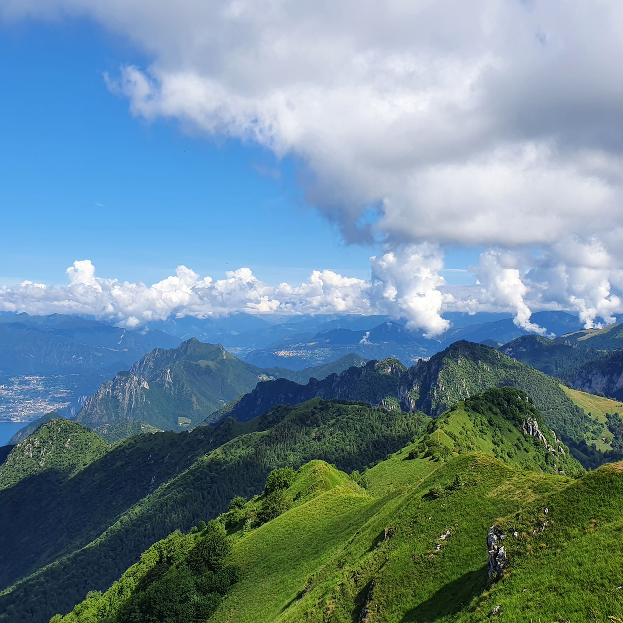
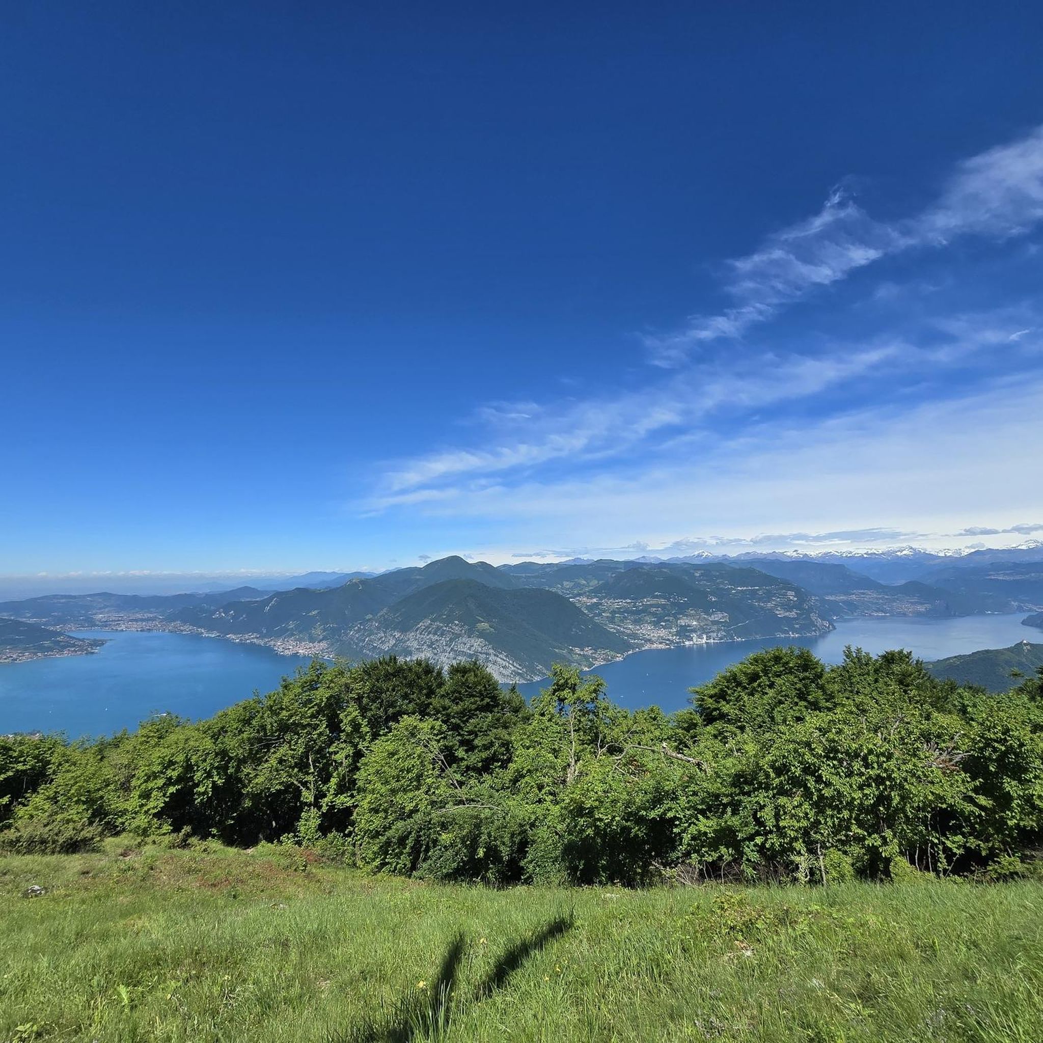
The mountain passes around Polaveno offer diverse and stunning vistas. From San Fermo Pass (La Bratta), you can enjoy wonderful lake views. Colmì provides a splendid view to the south, encompassing the countryside and parts of the city. For a truly expansive panorama, Monte Guglielmo, a prominent mountain in the region, offers 360-degree views stretching from the Po Valley to Lake Iseo, the Orobie Alps, and even Monte Rosa and the Apennine Mountains on clear days.
Are there historical sites or points of interest near the mountain passes?
Yes, the region around Polaveno has historical significance. For instance, Sella dell'Oca Pass was part of the "Paths of the Resistance" during World War II, adding a layer of history to its natural beauty. Polaveno itself is known for its ancient architecture and historical routes.
What are the best activities to do around the mountain passes near Polaveno?
The area is excellent for various outdoor activities. Hiking and mountain biking are particularly popular. Many trails lead to summits like Monte Guglielmo, offering moderate challenges. Ski mountaineering and paragliding are also favored activities on Monte Guglielmo. You can find numerous routes for different sports, including hiking, gravel biking, and running around Polaveno.
How challenging are the mountain passes around Polaveno?
The mountain passes around Polaveno offer a range of difficulties. Some, like Colmì, are known for remarkable climbs with truly challenging slopes. San Fermo Pass (La Bratta) features an uphill route with mixed terrain, including sections reaching almost 20% gradient. Monte Guglielmo also offers trails with moderate challenges and some shorter, more demanding sections. It's advisable to check specific route details for difficulty levels.
Are there mountain biking opportunities near Polaveno's passes?
Absolutely. The region is highly regarded for mountain biking. Sella dell'Oca Pass, for example, is known for an exciting descent into Villa Carcina, initially on single track and then double track. There are also many gravel biking routes available in the area, offering diverse terrain for cyclists.
What is the best time of year to visit the mountain passes in Polaveno?
The mountain passes and peaks around Polaveno, including Monte Guglielmo, are generally accessible in all seasons. However, for hiking and cycling, spring through autumn offers the most pleasant weather conditions. Winter can be suitable for ski mountaineering, but trails might be covered in snow and require appropriate gear and experience.
Are there any family-friendly options for exploring the Polaveno mountain passes?
While many passes offer challenging routes, there are also options for families. For instance, some trails leading to Monte Guglielmo are suitable for various skill levels, with starting points from villages like Cimmo, Zone, Pisogne, or Pezzoro. For a more relaxed experience, you can explore easier hiking routes around Polaveno, such as the 'View of Lake Iseo loop from Polaveno' which is rated easy.
Where can I find accommodation or places to eat near the mountain passes?
Polaveno itself offers various amenities, including cafes, pubs, and restaurants. For accommodation, you can find options within Polaveno or in nearby villages and towns, especially those around Lake Iseo or in Val Trompia, which provide convenient access to the mountain passes and trails.
What natural features are unique to the Polaveno mountain pass region?
The region is characterized by its untouched, timeless, and bucolic natural environment, surrounded by dense woods. Monte Guglielmo, for example, is notable for its geological makeup of compact dolomitic limestone, which are remnants of a coral atoll. This results in numerous karstic caves and fossil deposits, adding a unique natural element to the area.
Can I reach the mountain passes using public transport?
While specific public transport details for each pass are not readily available, Polaveno and surrounding villages serve as access points. It's recommended to check local bus schedules or regional transport options that connect to these villages, which can then serve as starting points for your adventures into the passes.
What do visitors enjoy most about the mountain passes around Polaveno?
Visitors frequently praise the stunning panoramic views, especially the lake vistas from passes like San Fermo Pass (La Bratta) and the expansive views from Monte Guglielmo. The challenging yet rewarding climbs, the diverse terrain for hiking and biking, and the sense of untouched nature are also highly appreciated. The area's historical significance, particularly around Sella dell'Oca Pass, also adds to the visitor experience.
Most popular routes around Polaveno
Most popular attractions around Polaveno

Get inspired with the komoot mobile app


Explore more
See even more epic mountain passes by checking out these guides around Polaveno:
