The best running trails around Polaveno
4.4
(210)
10,007
runners
511
runs
Jogging around Polaveno offers diverse landscapes, from accessible paths to challenging mountain routes. The region features a network of trails winding through forests, historic cobblestone paths, and mountain terrain. Many routes provide views of Lake Iseo and its iconic island, Monte Isola, enhancing the running experience. The varied gradients and surfaces cater to different fitness levels, making it suitable for various types of running.
Best jogging routes around Polaveno
- The most popular jogging route is Punta Almana – Osteria Pastina…
Last updated: July 1, 2026
5.0
(1)
231
runners
43.3km
06:19
2,330m
2,330m
Hard run. Very good fitness required. Sure-footedness, sturdy shoes and alpine experience required.
4.0
(5)
222
runners
10.4km
01:07
70m
70m
Moderate run. Good fitness required. Mostly paved surfaces. Suitable for all skill levels.

Sign up for free
4.6
(5)
71
runners
18.3km
02:04
120m
120m
Hard run. Very good fitness required. Mostly paved surfaces. Suitable for all skill levels.
4.0
(1)
56
runners
26.1km
03:40
1,180m
1,190m
Hard run. Very good fitness required. Sure-footedness, sturdy shoes and alpine experience required.
110
runners
13.2km
01:25
70m
70m
Moderate run. Good fitness required. Mostly paved surfaces. Suitable for all skill levels.
Get access to more routes and recommendations from other explorers.
Sign up for free
Already have an account?
Our route recommendations are based on thousands of hikes, rides, and runs completed by other people on komoot.
Start today with a free account
Your next adventure awaits.
Login or Signup
Tips from the Community

Lake Iseo (or Sebino) is a gem of Lombardy located between the provinces of Bergamo and Brescia. This glacial basin, enclosed by majestic mountains and the hills of Franciacorta, offers the perfect combination of historic villages, pristine nature, and food and wine excellences.
0
0

Osteria Pastina is a historic mountain osteria in the locality of Pezzolo (Via Presso 190, Sale Marasino), famous for its spiedo, typical Brescian cuisine, and panoramic position at about 850 m altitude. It is a favorite destination for hikers heading towards Portole, Croce di Pezzolo, and Punta Almana. 🌿 Identity and atmosphere Sources describe Osteria Pastina as an authentic, rustic, and family-run establishment, managed for four generations, with: an indoor stone and wood dining room a large outdoor patio under a big walnut tree a playground for children an open view of Lake Iseo and the surrounding meadows The cuisine is defined as “honest, abundant, and genuine,” with local and seasonal products. 🍽️ Cuisine and specialties From reviews and official websites, recurring dishes include: Spiedo bresciano (suckling pig, ribs, guinea fowl, loin) grilled over charcoal with alpine butter Casoncelli alla bresciana Fresh tagliatelle with mushrooms Grilled meats and game Grilled polenta with melted cheese Homemade desserts (apple, walnut, chestnut pies, tiramisu) Reviews confirm abundant portions, friendly service, and excellent value for money. 📍 Location and how to get there Address: Via Presso 190, 25057 Sale Marasino (BS) Phone: +39 338 197 8721 Accessible via: Mule track from Portole (most common route for those arriving on foot) Narrow and steep road passable by car, but recommended only for those familiar with the area It is a perfect spot for those trekking towards: Croce di Pezzolo Punta Almana Forcella di Sale Sentiero 3V 🕒 Opening hours Sources indicate very similar hours: Open daily 08:00–24:00 Closed on Wednesdays
0
0
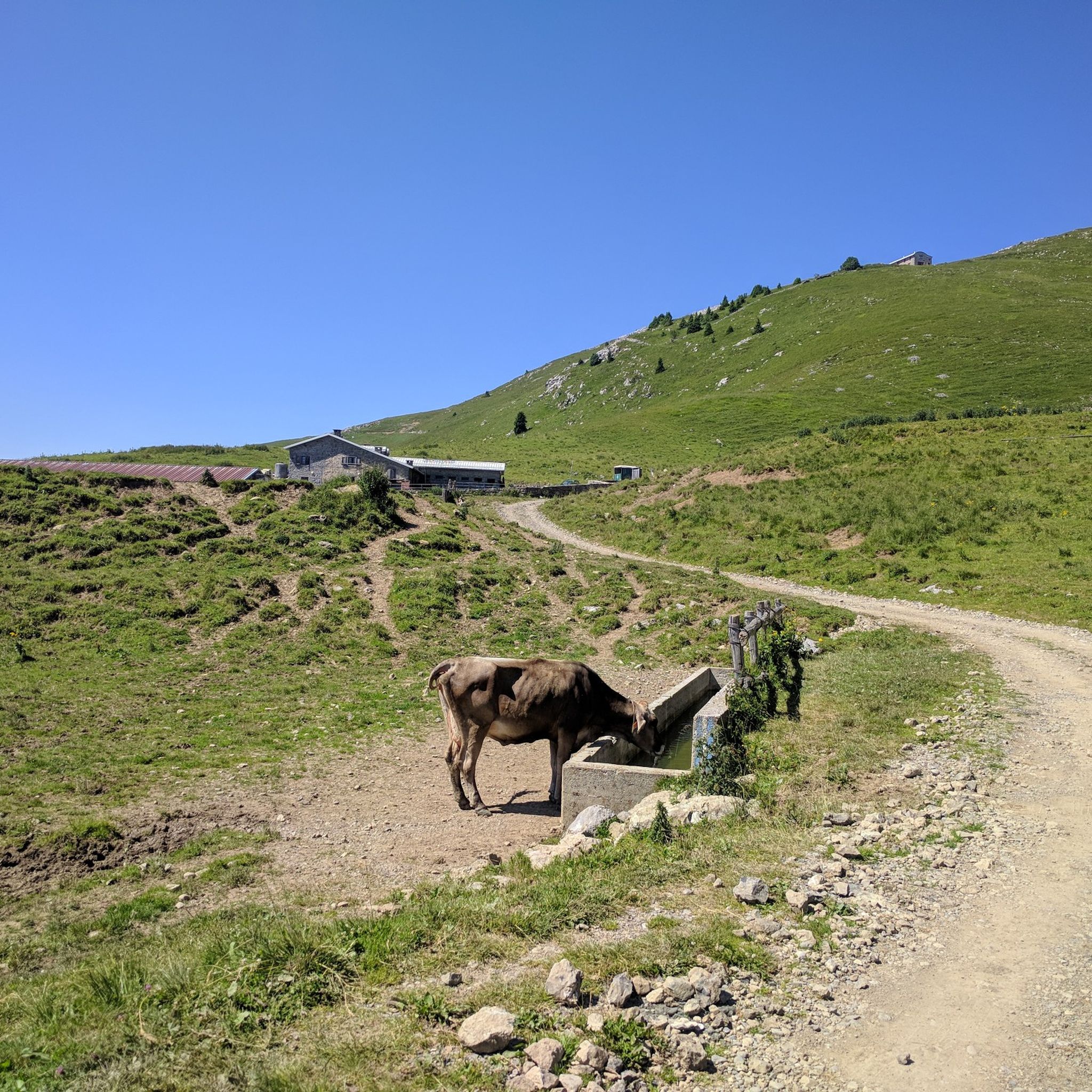
The Rifugio Croce di Marone is located at 1,166 m on the southern slope of Monte Guglielmo, above Marone, and is one of the most convenient and frequented starting points for climbing the Guglielmo. 🏔️ Hut identity and location The refuge is located in the Croce di Marone area, reachable via the road that climbs from Marone → Cislano → Madonna della Rota, crossing the Valle dell’Opol. It is situated in a panoramic and strategic point for: Monte Guglielmo (1948 m) – classic and very frequented ascent Malga Guglielmo di Sotto and di Sopra Rifugio Almici Piani di Caregno The refuge is open all year round, has a restaurant, electric light, hot water, and about 15 beds. 🚗 How to get there By car from Marone Follow the signs for Zone. After about 4.5 km, past the cable car underpasses, you will find a sharp right turn with a sign for the refuge. The road becomes narrow and steep in the final kilometers. Paid parking with scratch card (3 € up to 4 hours, 5 € for longer). On foot from Zone (Englar) You can leave your car at the Englar restaurant (640 m). Ascent along the road/CAI 226 trail → approx. 1h20’–1h50’ depending on whether you cut corners. 🚶♂️ Main excursions from the refuge 1. Monte Guglielmo (E – approx. 2h) This is the shortest and most direct route to reach the summit of Guglielmo: Initial mule track Junction for Malpensata Section with white-blue 3V trail markers Malga Guglielmo di Sotto → Malga di Sopra Rifugio Almici → summit with the Monument to the Redeemer The panorama over the Sebino and the Prealps is considered one of the most beautiful in the area. 2. Rifugio Almici (1861 m) – 2h Simple and panoramic route along the mule track. 3. Piani di Caregno – 3h30’ Longer but very scenic route. 🏞️ Environment and atmosphere The area is characterized by: beech and fir woods open pastures views of Lake Iseo and Val Trompia presence of the 3V trail nearby It is an ideal spot for short excursions, longer treks, or family days out.
0
0

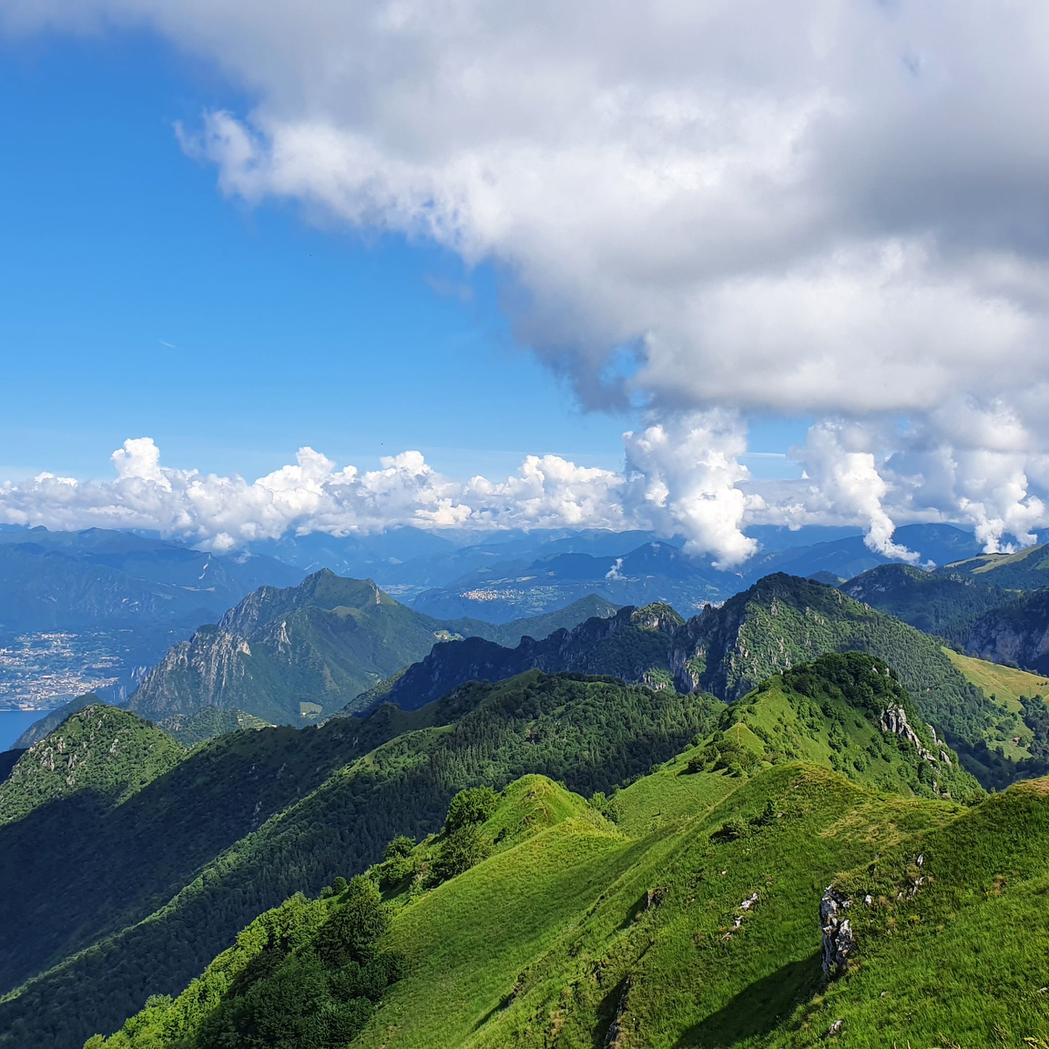
when they say lose your head, unique landscapes that will steal your heart
0
0

Very impressive large statue
0
0
Very well preserved and maintained building
0
0

It's simply incredible how many great churches you can find in every town.
1
0
Frequently Asked Questions
How many running routes are available around Polaveno?
Polaveno offers a wide selection of nearly 400 running routes. These trails cater to various preferences, ranging from easy paths to more challenging mountain runs, ensuring there's something for every runner.
What types of terrain can I expect on jogging trails in Polaveno?
The running routes in Polaveno feature diverse terrain, including historic cobblestone paths, forest trails, and mountain paths. This variety provides different surfaces and gradients, enhancing your workout and offering a unique blend of natural beauty and cultural heritage.
Are there any easy or beginner-friendly running routes in Polaveno?
Yes, Polaveno has 33 easy running routes, perfect for beginners or those looking for a more relaxed jog. These paths are generally less strenuous and offer a great way to enjoy the scenic surroundings without significant elevation gains.
Can I find running routes with scenic viewpoints in Polaveno?
Absolutely! Many trails in Polaveno lead to stunning panoramic viewpoints, offering inspiring backdrops for your run. You can enjoy spectacular views of Lake Iseo, its iconic island Monte Isola, and the surrounding mountains. The Santa Maria del Giogo mountain hut and sanctuary is a frequently mentioned landmark accessible via trails, offering remarkable vistas.
Are there any circular running routes in the Polaveno area?
Yes, many of the running routes around Polaveno are circular, allowing you to start and finish at the same point. For example, the Pozza Nuova – Punta dell'Orto loop from Pilzone is a challenging 13.6 km circular trail that takes you through varied mountain terrain.
What do other runners say about the trails in Polaveno?
The running routes in Polaveno are highly rated by the komoot community, with an average score of 4.5 stars from over 100 reviews. More than 8,000 runners have used komoot to explore Polaveno's varied terrain, often praising the diverse landscapes and the beautiful views of Lake Iseo.
Are there any notable attractions or landmarks along the running routes?
Yes, several attractions enhance the running experience. You might encounter the Sanctuary of the Madonna della Ceriola on Monte Isola, offering wide panoramas. Other natural monuments like the Pyramids of Zone are also in the vicinity, providing unique sights.
Are there any running routes that pass by mountain huts or places to rest?
Yes, some routes will take you near mountain huts where you can rest or find refreshments. The Santa Maria del Giogo mountain hut and sanctuary is one such location, offering both a place to pause and stunning views.
What is the best time of year to go jogging in Polaveno?
Polaveno's diverse landscape makes it suitable for jogging across multiple seasons. While specific recommendations depend on personal preference, the region's trails, ranging from forest paths to mountain routes, can be enjoyed in spring and autumn for milder weather, or in summer for higher altitude runs. Winter jogging is also possible, though some mountain paths may require appropriate gear.
Are there any challenging trail running options in Polaveno?
For those seeking a more strenuous workout, Polaveno offers 174 difficult running routes. These trails often feature significant elevation gains and rugged mountain paths, providing an invigorating challenge. An example is the Monte Rodondone Summit – Osteria Pastina loop from Pilzone, a demanding 20.5 km route with substantial ascents.
Where can I find more information about Polaveno and its territory?
For additional information about Polaveno and the surrounding Valle Trompia region, including cultural insights and other activities, you can visit the official tourism website: visitvalletrompia.it.
Are there any routes that offer a glimpse of Polaveno's pristine natural environment?
Yes, the region is known for trails like the 'Sentiero delle Sorgenti e dei Lupi' (Path of Springs and Wolves), which suggests an encounter with Polaveno's untouched natural environment, including springs and potentially local wildlife, making for an adventurous running experience.
Most popular routes around Polaveno
Most popular attractions around Polaveno

Get inspired with the komoot mobile app


Explore more
Browse the best Running Trails & Routes in other regions.
