The best gravel rides around Lac de Sylans
4.8
(5)
40
riders
8
rides
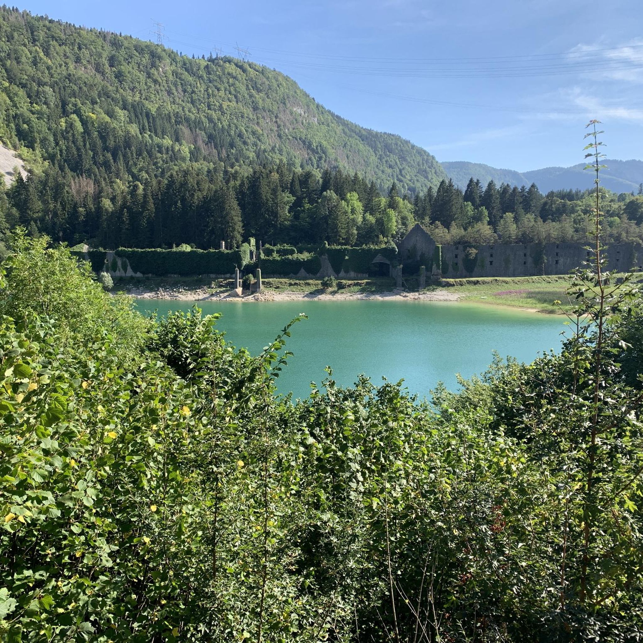
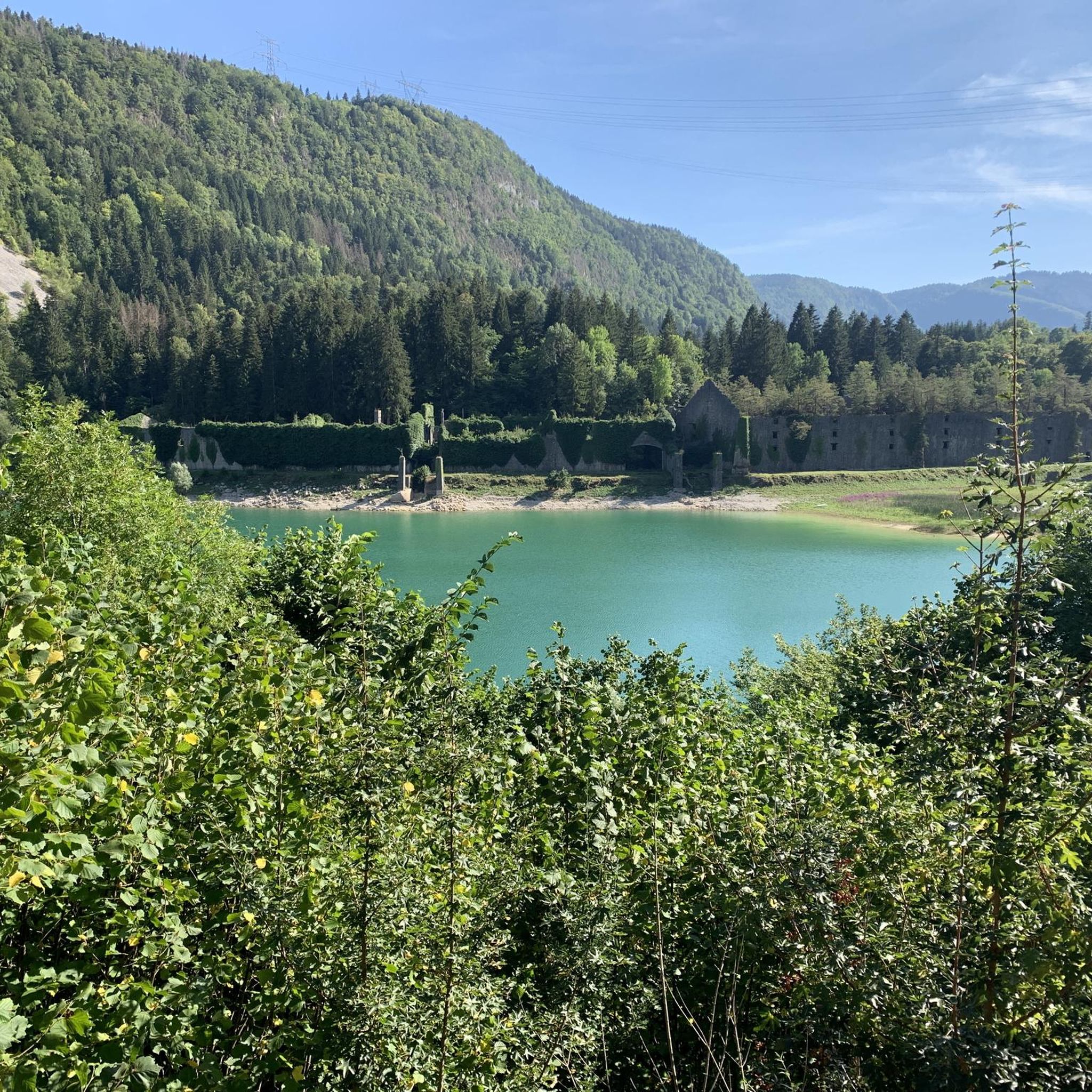
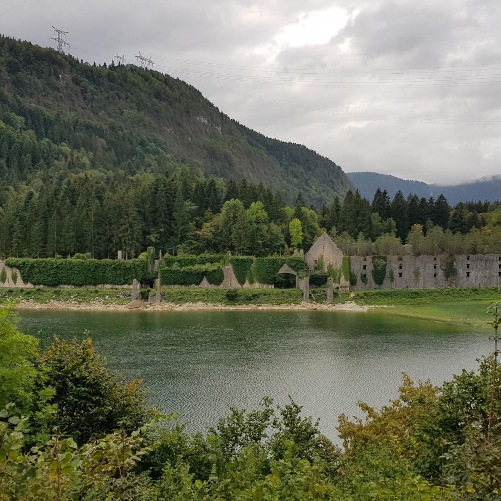
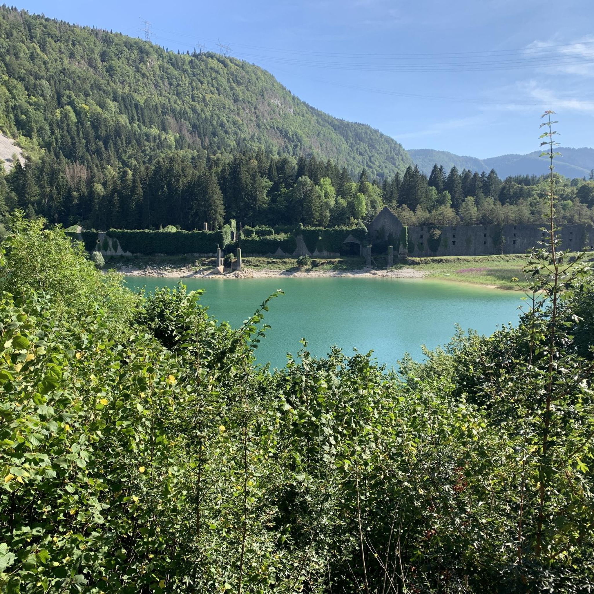
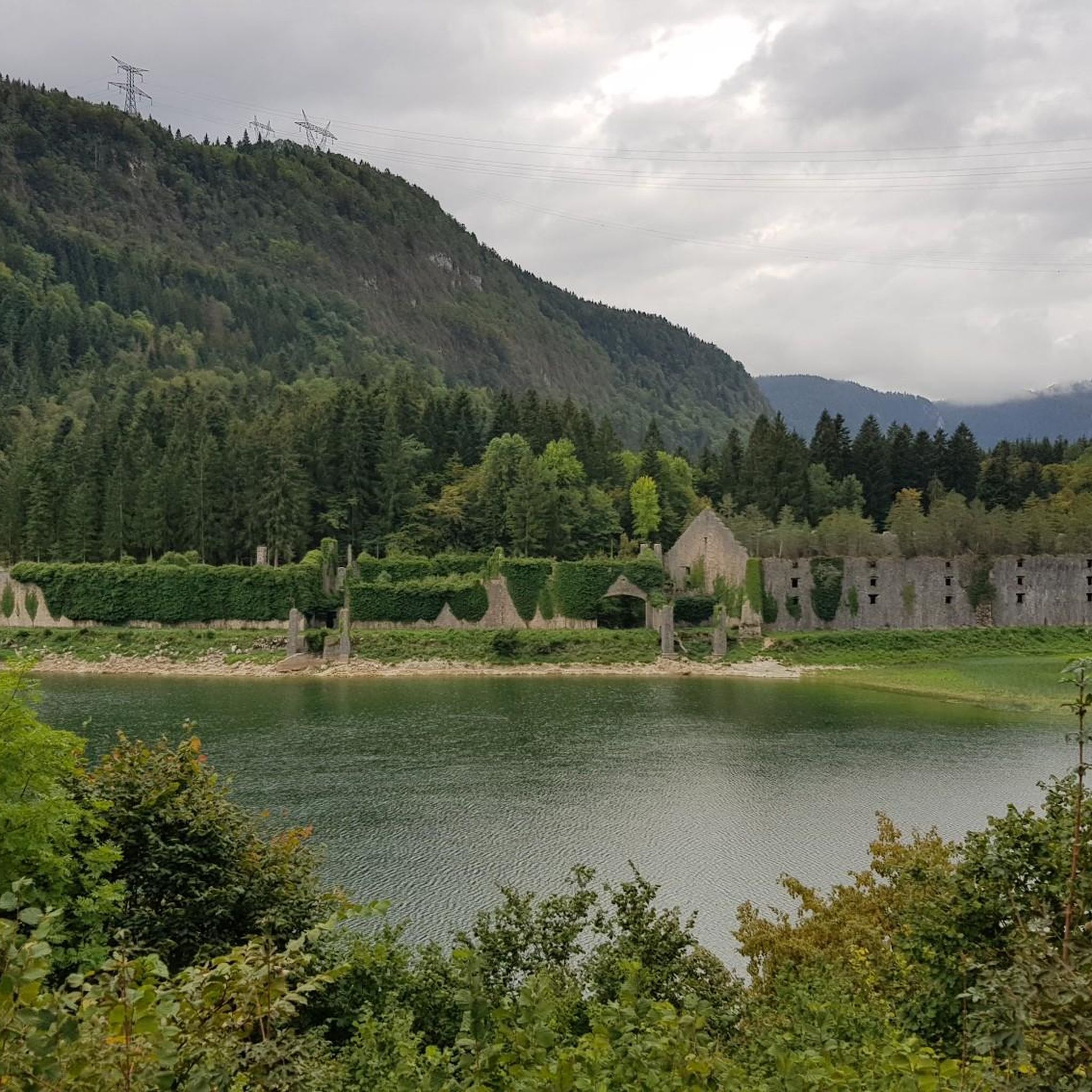
Gravel biking around Lac de Sylans offers diverse terrain within the Haut-Bugey region of the Ain department. The area is characterized by the pure waters of Lac de Sylans, surrounded by fir trees, and historical remnants of old ice factories. Situated within the Jura Mountains, the landscape features a mix of forests, plateaus, and varied elevations, providing a suitable environment for gravel cycling. Riders can expect a combination of forest paths, dirt tracks, and secondary roads.
Best gravel bike trails…
Last updated: July 9, 2026
4.5
(2)
13
riders
39.8km
02:48
760m
760m
Hard gravel ride. Very good fitness required. You may need to push your bike for some segments of this route.
3
riders
34.0km
02:31
660m
660m
Hard gravel ride. Very good fitness required. You may need to push your bike for some segments of this route.

Sign up for free
5
riders
105km
08:09
2,430m
2,430m
Hard gravel ride. Very good fitness required. Mostly paved surfaces. Suitable for all skill levels.
2
riders
36.8km
02:22
590m
590m
Hard gravel ride. Very good fitness required. Mostly paved surfaces. Suitable for all skill levels.
5.0
(2)
12
riders
24.1km
02:06
480m
480m
Hard gravel ride. Very good fitness required. Mostly paved surfaces. Suitable for all skill levels.
Get access to more routes and recommendations from other explorers.
Sign up for free
Already have an account?
Our route recommendations are based on thousands of hikes, rides, and runs completed by other people on komoot.
Start today with a free account
Your next adventure awaits.
Login or Signup
Tips from the Community

The ruin is very beautiful, panels indicate the history of the site, very instructive! Calm and relaxing, the site offers a magnificent setting and allows for nice picnic breaks!
0
0
Magnificent brown ponds, calm and relaxing, a must-see stop!
0
0

The Lac de Nantua is a superb body of water of 141 hectares. In the heart of the Jura, it offers an ideal setting for practicing a multitude of sports. It is even possible to swim in its waters.
1
0
The Peney viewpoint overlooks Lake Sylans, on which it offers a beautiful view. Classified since 1909, one can distinguish on its banks the ruins of the old ice factories which commercialized the ice extracted from the lake until 1917. The passage is located at the level of the tunnel of the same name.
0
0
The Marron ponds are named after a family from Brénod, it is not a reference to the color of the water. Only one of them remains filled with water all year round. This one served as a water reserve and fishing spot for the monks of the Meyriat abbey. In spring, a multitude of water lilies cover the surface.
0
0

The Retord farm, located on the plateau of the same name, allows you to discover local products and offers a pleasant stop in a relaxing natural setting.
0
0
Nestled in pastures at an altitude of 1,000 meters, Giron is the highest (and sunniest!) village in the Ain. Welcoming, with breathtaking views, it is ideal for an overnight stop.
0
0
Beautiful, simple, easy walk; lots of traffic noise on the "road" section, a bit of a shame, but the color of the water is magical
1
0
Frequently Asked Questions
How many gravel bike trails are available around Lac de Sylans?
On komoot, you'll find 8 gravel bike routes specifically around Lac de Sylans. These routes are generally rated as difficult. However, the broader Jura Mountains, encompassing this area, boast an extensive network of over 2,000 kilometers of itineraries suitable for gravel biking, offering a wide variety of terrains.
Are there any easy or family-friendly gravel bike trails in the Lac de Sylans region?
The routes listed on komoot for Lac de Sylans are primarily rated as difficult, suggesting they are better suited for experienced riders. However, the Haut-Bugey region, where Lac de Sylans is located, does feature routes like the 'Parcours Gravel 16 bleu - De combes en combes,' a 23 km route with moderate elevation, which is characterized by tranquil sections and might be more suitable for a leisurely day trip, though it's not explicitly listed as family-friendly on komoot.
What kind of terrain can I expect on gravel bike trails near Lac de Sylans?
The gravel bike trails around Lac de Sylans offer a diverse mix of terrain. You can expect to ride on asphalt, gravel roads, forest tracks, and occasionally short sections of singletrack. This variety allows you to explore wooded hills, serene streams, and small, historical villages, often with panoramic views over the Jura Mountains.
What are some notable natural features or attractions I can see along the gravel bike routes?
The region is rich in natural beauty and historical sites. You'll encounter the remarkably pure waters of Lac de Sylans itself, surrounded by fir trees, earning it the nickname 'Little Canada of Haut-Bugey.' Along some routes, you can also discover the ruins of old ice factories, offering a glimpse into the lake's fascinating industrial past. The broader Jura Mountains feature other lakes, waterfalls, canyons, and extensive forests.
Are there any challenging gravel bike routes for experienced riders?
Yes, the Lac de Sylans area is known for its challenging routes. For instance, the Col de Bérentin – Rochette Pass loop from Villes is a difficult 111.1 km path with significant elevation gain, navigating through mountain passes and varied Jura terrain. Another demanding option is the Lake Nantua – View of Lake Nantua loop from Le Chateau, a 31.6 km difficult trail offering challenging ascents and views of Lake Nantua.
What do other gravel bikers enjoy most about gravel biking in Lac de Sylans?
The routes in Lac de Sylans are highly rated by the komoot community, with an average score of 5.0 stars from 3 reviews. Riders often praise the diverse terrain, the stunning natural beauty of the lake and surrounding forests, and the sense of freedom offered by the extensive network of paths. The challenging nature of many routes is also a draw for those seeking a more adventurous ride.
What is the best time of year for gravel biking around Lac de Sylans?
The Jura Mountains, including the Lac de Sylans area, offer beautiful scenery throughout much of the year. Spring and autumn generally provide pleasant temperatures and vibrant landscapes, making them ideal for gravel biking. Summer is also popular, though some routes might be busier. Winter can bring snow, making some trails impassable or requiring specialized equipment.
Are there any loop trails available for gravel biking?
Yes, many of the gravel bike routes in the Lac de Sylans area are designed as loops, allowing you to start and finish at the same point. Examples include the Plateau de Retord – Terments Cross loop from Ochiaz, a 24.1 km trail, and the Plateau de Retord – Cuvéry Pass loop from Villes, which is 28.2 km long.
Where can I find parking for gravel biking near Lac de Sylans?
While specific parking locations are not detailed for every route, many trails in the region, especially those starting from villages like Villes or Ochiaz, typically have designated parking areas. It's advisable to check the starting point of your chosen komoot tour for specific parking recommendations or look for public parking in nearby towns.
Are there any routes that pass by historical sites?
Yes, the region's history is intertwined with its landscape. The 'Parcours Gravel 17 rouge - Le Tour des Monts d'Ain,' a 41 km circuit, specifically winds through various landscapes including historical sites like the old ice factories of Sylans. These ruins offer a unique historical context to your ride.
Can I find routes that offer views of other lakes besides Lac de Sylans?
Absolutely. The Lake Nantua – View of Lake Nantua loop from Le Chateau is a prime example, offering scenic views of Lake Nantua. The broader Jura Mountains are dotted with numerous lakes and ponds, and many routes in the region will provide opportunities to enjoy these beautiful water bodies.
Are there any official gravel routes in the Haut-Bugey region?
Yes, the Haut-Bugey region has designated gravel routes. For example, the 'Parcours Gravel 17 rouge - Le Tour des Monts d'Ain' is a well-known route that takes you through diverse landscapes. You can find more information about this specific route on the local tourism website: hautbugey-tourisme.com.
Most popular routes around Lac de Sylans

Get inspired with the komoot mobile app


Explore more
Browse the best Gravel rides in other regions.
