The best MTB trails around Marolles-Sous-Lignières
3.5
(2)
11
riders
4
rides
Mountain biking around Marolles-Sous-Lignières offers routes through a landscape characterized by gentle hills, agricultural fields, and sections alongside waterways like the Canal de Bourgogne. The area features a mix of open terrain and occasional wooded areas, connecting historical points and small villages. Elevation gains are generally moderate, providing accessible riding for various skill levels.
Best mountain bike trails around Marolles-Sous-Lignières
- The most popular mountain bike trail is Tonnerre – Château de Tanlay loop from Tonnerre, a 39.4 miles (63.4…
Last updated: October 8, 2026
5
riders
129km
08:14
770m
770m
Hard mountain bike ride. Very good fitness required. Advanced riding skills necessary.
2
riders
50.6km
04:10
490m
490m
Moderate mountain bike ride. Good fitness required. Advanced riding skills necessary.

51.9km
03:29
340m
340m
Moderate mountain bike ride. Good fitness required. Advanced riding skills necessary.
3.0
(1)
1
riders
33.6km
02:21
330m
330m
Moderate mountain bike ride. Good fitness required. Suitable for all skill levels.
4.0
(1)
3
riders
60.2km
04:19
470m
470m
Moderate mountain bike ride. Good fitness required. Advanced riding skills necessary.
Our route recommendations are based on thousands of hikes, rides, and runs completed by other people on komoot.
Start today with a free account
Your next adventure awaits.


Tips from the Community

In Escolives-Sainte-Camille lies the Chateau de Belombre. The origins of this château on the Yonne date back to the early 16th century. The current château was completed by the renovation of the former manor house in the 17th century.
0
0
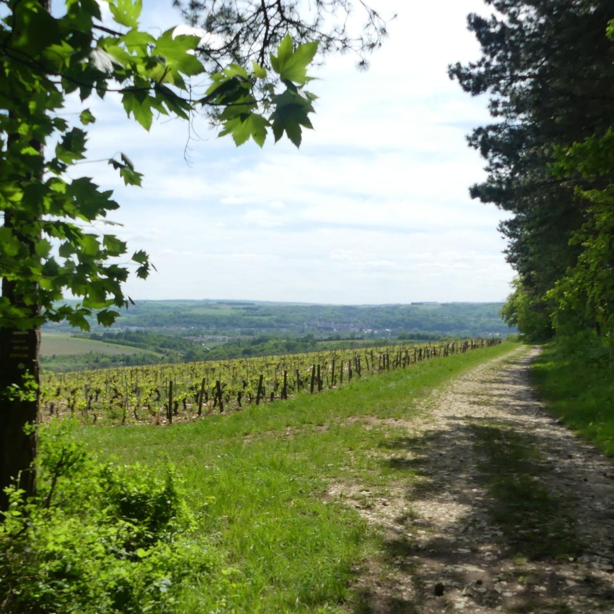
Anyone who comes here must try the world-famous white wine. A Premier Cru is quite affordable as a half bottle.
0
0
This postcard motif was found on the Jakobsweg in Melisey.
1
0

A simply stunning view of Auxerre and its magnificent cathedral, as well as the Vonne River with its many boats, and Auxerre with everything your heart desires. Plenty of places to rest and, of course, all sorts of restaurants.
1
0

A lovely farm to visit with its animals and organic products such as very good ice cream and goat cheese.
0
0

Passage through the forest is prohibited and the route is more of a quiet walk.
0
0

On the road to Vézelay or Santiago de Compostela, the Domaine Saint-Georges offers a welcome break. Here, you can put down your bag, enjoy a shaded picnic area and dip your tired feet in the water.
0
0

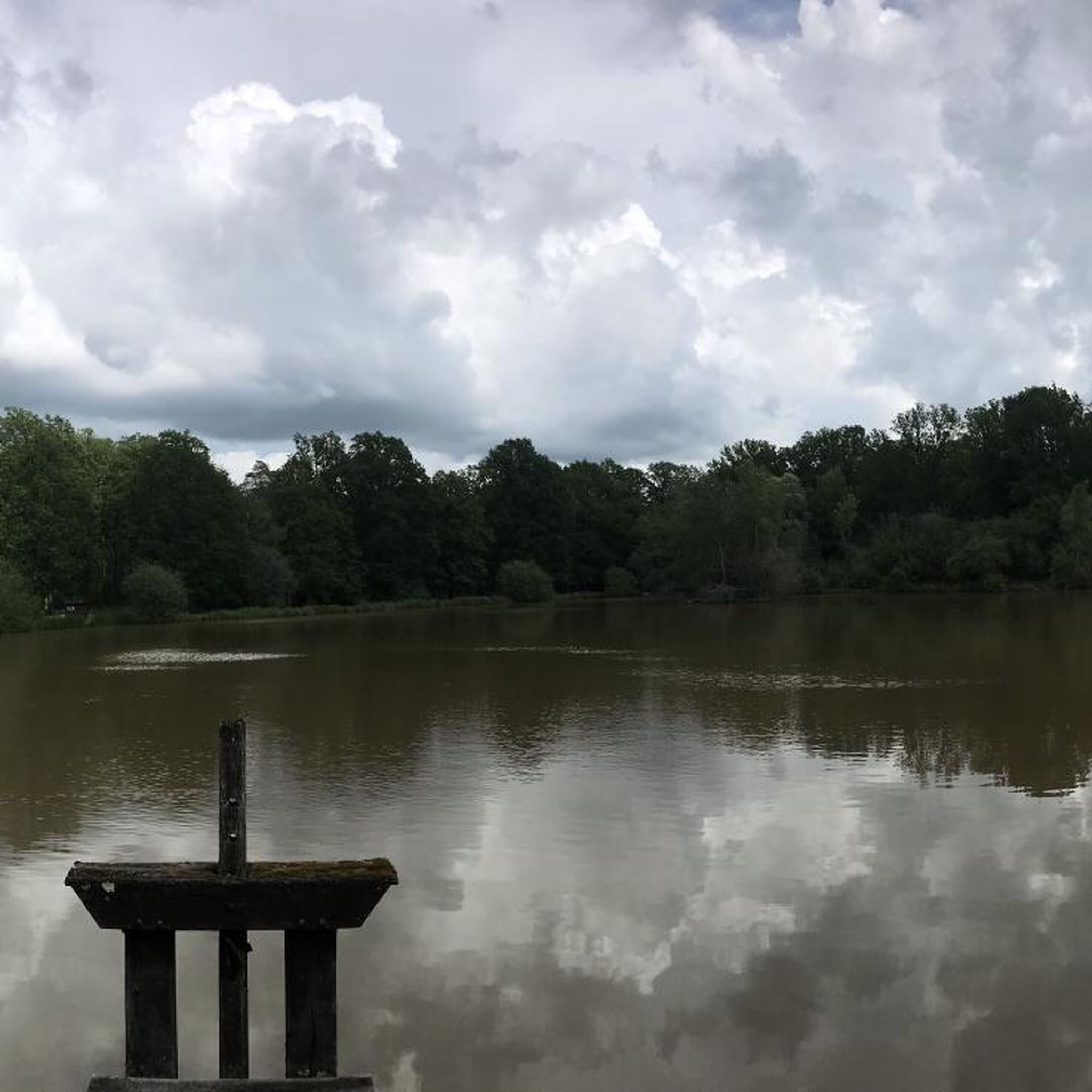
The Burgundy Canal is 242 km long, it connects the Seine basin to the Rhône basin. Previously used for moving goods, but since the 1960s the canal has been used almost exclusively for recreational boating.
0
0
Frequently Asked Questions
How many mountain bike trails are available around Marolles-Sous-Lignières?
There are 3 mountain bike trails listed in this guide for the Marolles-Sous-Lignières area. These routes offer a variety of experiences through the local landscape.
What is the typical difficulty level for mountain biking in Marolles-Sous-Lignières?
The mountain bike trails around Marolles-Sous-Lignières are generally of moderate difficulty. They are suitable for riders with some experience, offering a balance of challenge and accessibility.
Are there any family-friendly mountain bike routes in the area?
While all listed routes are moderate, shorter options like the Tonnerre – Canal de Bourgogne loop from Tonnerre (11.8 miles) might be suitable for families with some mountain biking experience, as it follows flat sections along the canal. Always check the specific route details for elevation and terrain to ensure it matches your family's skill level.
What kind of terrain can I expect on mountain bike trails near Marolles-Sous-Lignières?
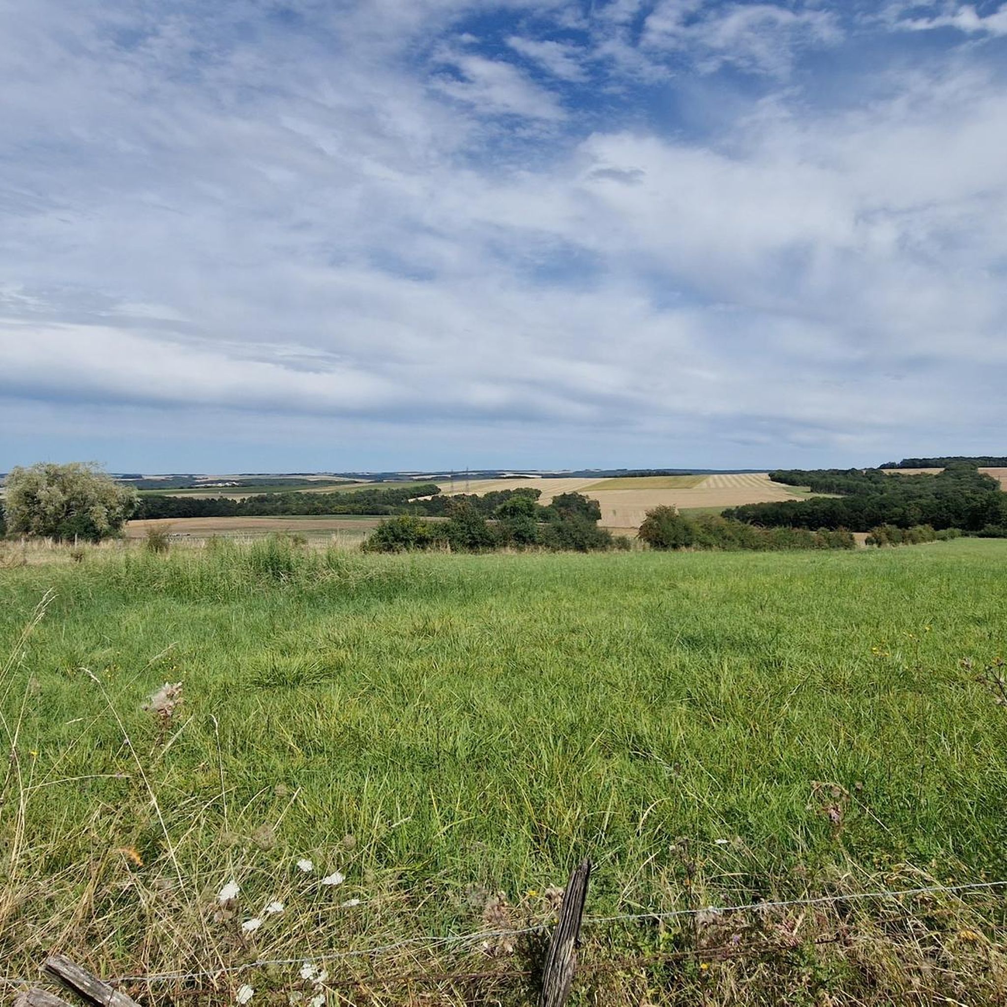
You can expect a mix of gentle hills, agricultural fields, and sections alongside waterways like the Canal de Bourgogne. The area features both open terrain and occasional wooded areas, connecting historical points and small villages. Elevation gains are generally moderate.
Are there any circular mountain bike trails in Marolles-Sous-Lignières?
Yes, all the mountain bike routes highlighted in this guide are circular. Examples include the Tonnerre – Château de Tanlay loop from Tonnerre and the Tonnerre – Fosse Dionne loop from Germigny, allowing you to start and end at the same point.
What are some interesting landmarks or attractions I can see along the mountain bike trails?
Several routes pass by notable attractions. For instance, the Tonnerre – Château de Tanlay loop from Tonnerre features historical sights. You can also explore the Towpath of the Canal de Bourgogne, the Fosse Dionne and the town of Tonnerre, or the Hôtel-Dieu de Tonnerre.
What do other mountain bikers say about the trails in Marolles-Sous-Lignières?
The mountain bike routes in Marolles-Sous-Lignières are highly rated by the komoot community, with an average score of 4.3 stars from more than 4 reviews. Riders often appreciate the varied rural landscapes, canal paths, and the connection to historical châteaux.
What is the best time of year for mountain biking around Marolles-Sous-Lignières?
The region generally experiences pleasant weather from spring through autumn, making these seasons ideal for mountain biking. Summer offers longer daylight hours, while spring and autumn provide cooler temperatures and vibrant scenery. Always check local weather forecasts before heading out.
Are there any longer mountain bike routes for experienced riders?
For experienced riders looking for a longer challenge, the Tonnerre – Château de Tanlay loop from Tonnerre covers 39.4 miles (63.4 km) and typically takes over 3 hours to complete, offering a substantial ride through open country and historical sights.
Where can I find parking for mountain biking in Marolles-Sous-Lignières?
Specific parking information is usually detailed on individual route pages. For routes starting in towns like Tonnerre or Germigny, public parking facilities are generally available. It's advisable to check the starting point of your chosen route on komoot for precise parking recommendations.
What is the average length of mountain bike trails in this area?
The mountain bike trails in this guide vary in length. For example, the Tonnerre – Canal de Bourgogne loop from Tonnerre is 11.8 miles (19.1 km), while the Tonnerre – Château de Tanlay loop from Tonnerre extends to 39.4 miles (63.4 km).
Most popular routes around Marolles-Sous-Lignières
Most popular attractions around Marolles-Sous-Lignières

Get inspired with the komoot mobile app


Explore more
Browse the best MTB trails in other regions.
