Top 7 Mountain Passes in Saône-et-Loire
Best mountain passes in Saône-et-Loire are found within a region characterized by its varied topography, including parts of the Morvan regional natural park and the Saône river valley. The landscape features rolling hills, forests, and agricultural areas, providing diverse settings for outdoor activities. Notable geological features like the rock of Solutré are visible from some passes. The area offers a blend of natural beauty and historical significance.
Best mountain passes in Saône-et-Loire
- The most popular mountain passes is Col de…
Last updated: June 26, 2026
Haut-Folin Pass
Highlight • Mountain Pass
Translated by Google •
Tip by

Col des Enceints - 529 m
Highlight • Mountain Pass
Translated by Google •
Tip by

Sign up now to discover places like this
Get recommendations on the best single tracks, peaks, & plenty of other exciting outdoor places.
Sign up for free
Col du Bois Clair
Highlight • Mountain Pass
Tip by

Col de la Grange du Bois
Highlight • Mountain Pass
Translated by Google •
Tip by

Col de la Porolle
Highlight • Mountain Pass
Translated by Google •
Tip by
Col de la croix d'Allye
Highlight • Mountain Pass
Translated by Google •
Tip by
Col de la Croix de Messire Jean
Highlight • Mountain Pass
Translated by Google •
Tip by

Col d'en Moulu
Highlight • Mountain Pass
Translated by Google •
Tip by
Start today with a free account
Your next adventure awaits.
Login or Signup
Popular around Saône-et-Loire

The Grande traversée du Massif Central by gravel bike
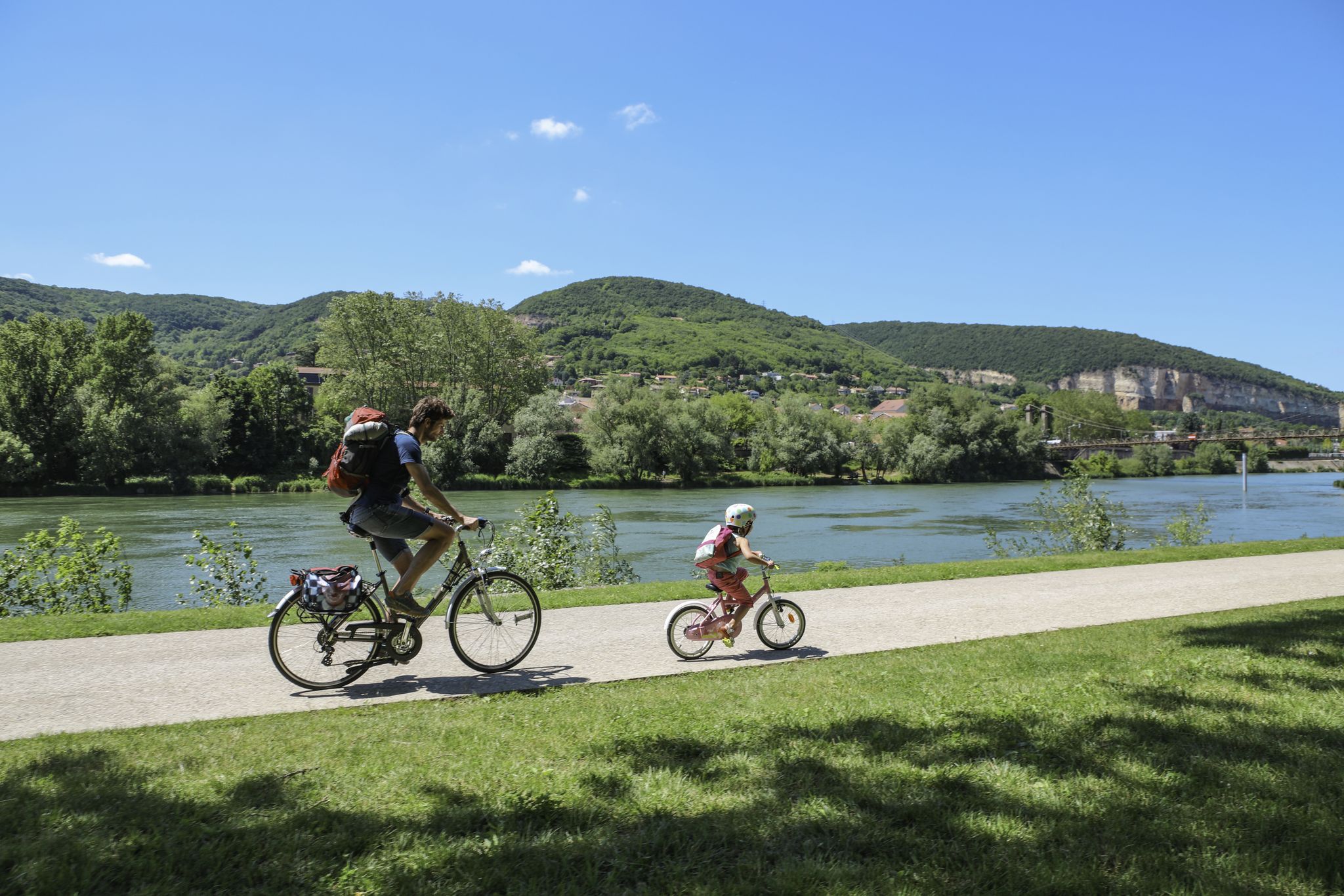
The Voie Bleue – Moselle-Saône by bike
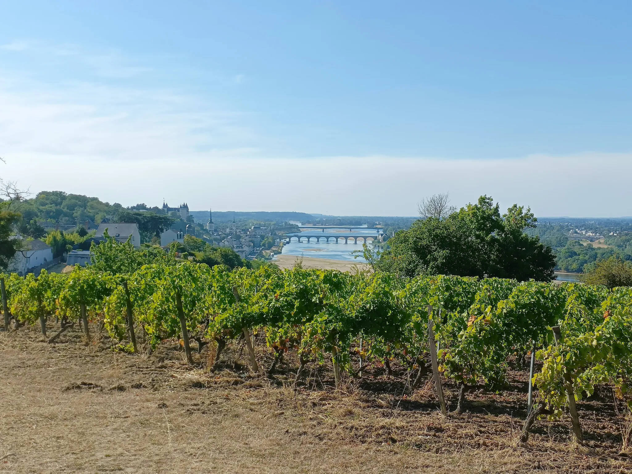
GR3 from the ocean to its source – The Loire, a wild European river
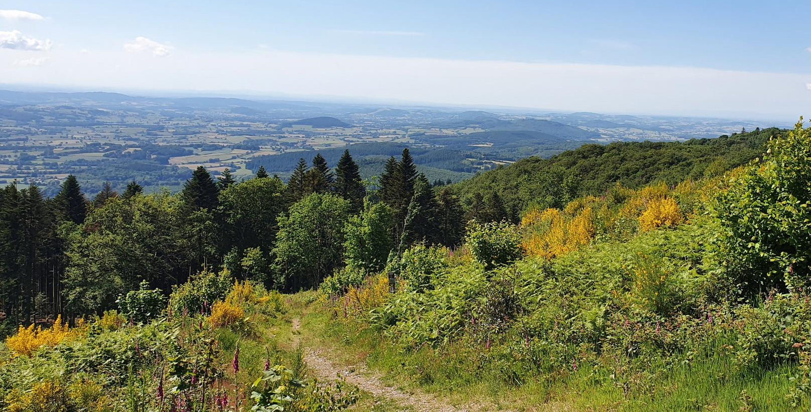
Bibracte-Alesia Hiking Trail – In the footsteps of the Gauls
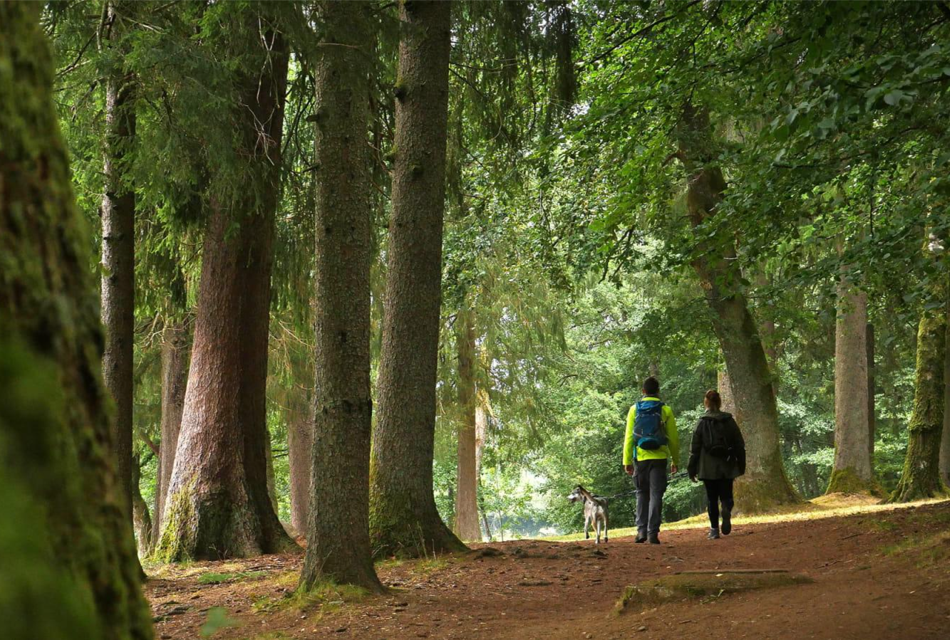
Tour du Morvan — The little mountain of Burgundy
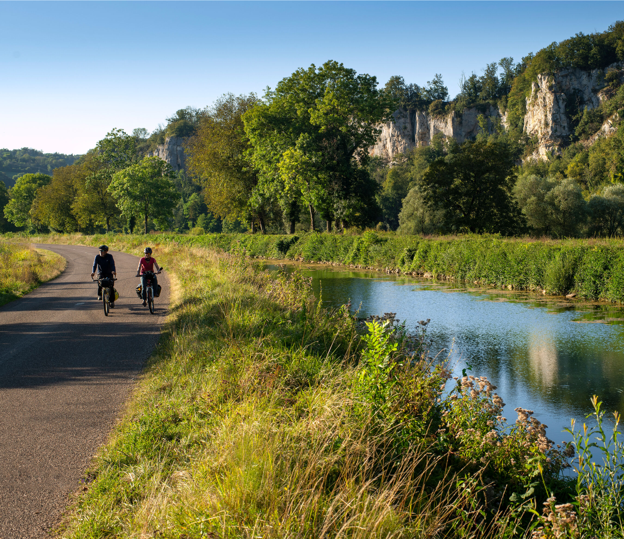
Burgundy-Franche-Comté by bike – between vineyards and peaks
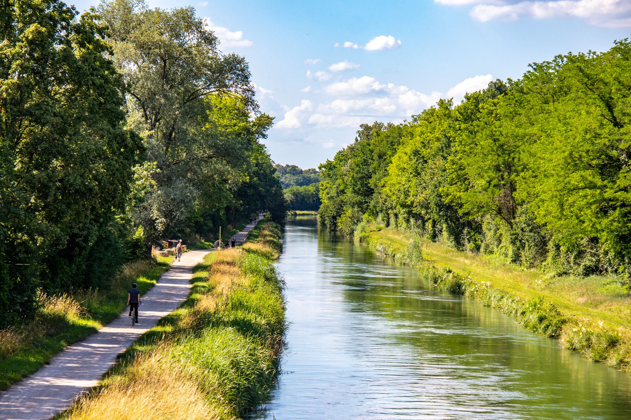
EuroVelo 6 – between the Rhine and the Loire by bike
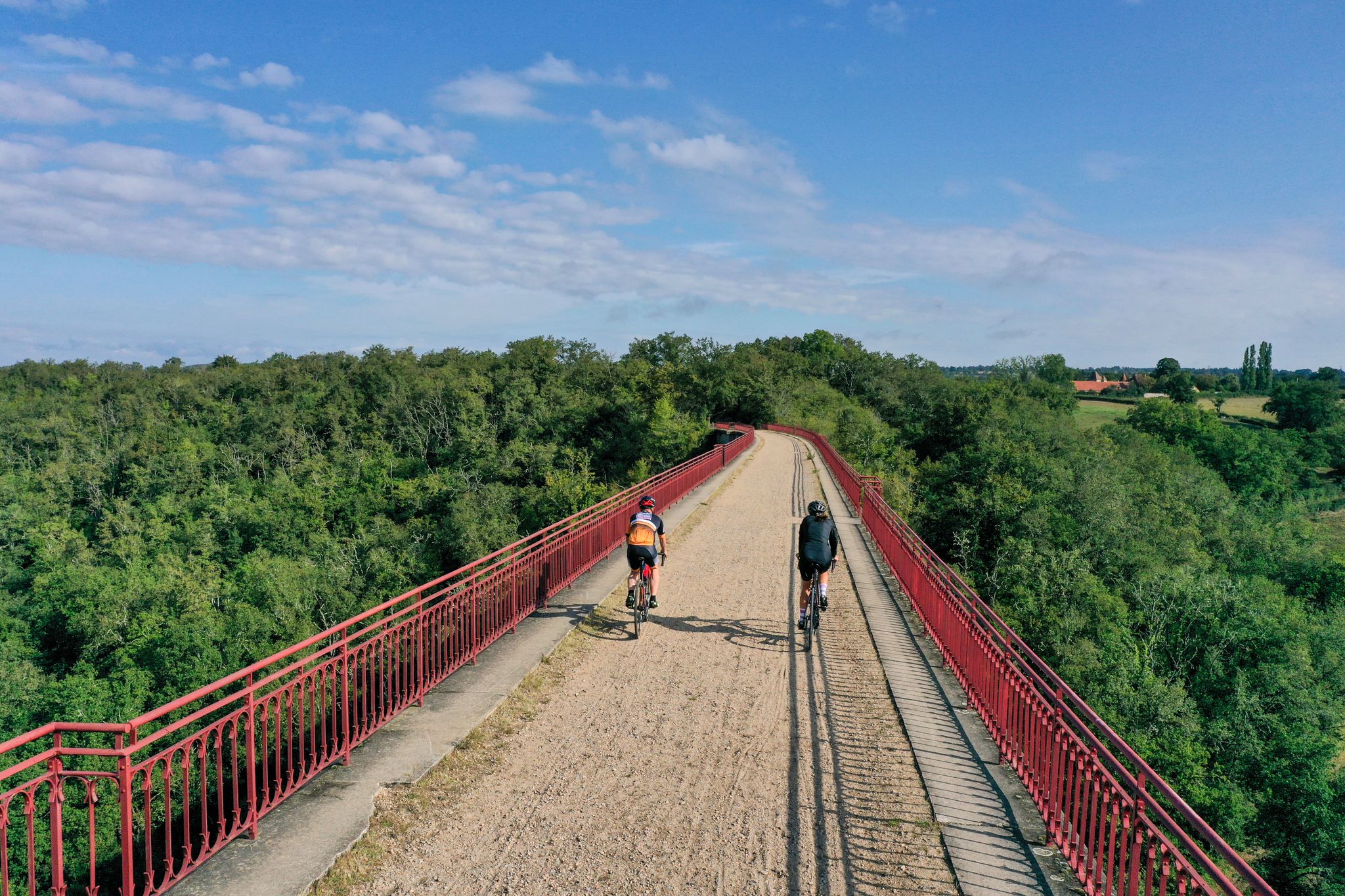
Allier Bourbonnais by bike – mythical routes and secret escapes
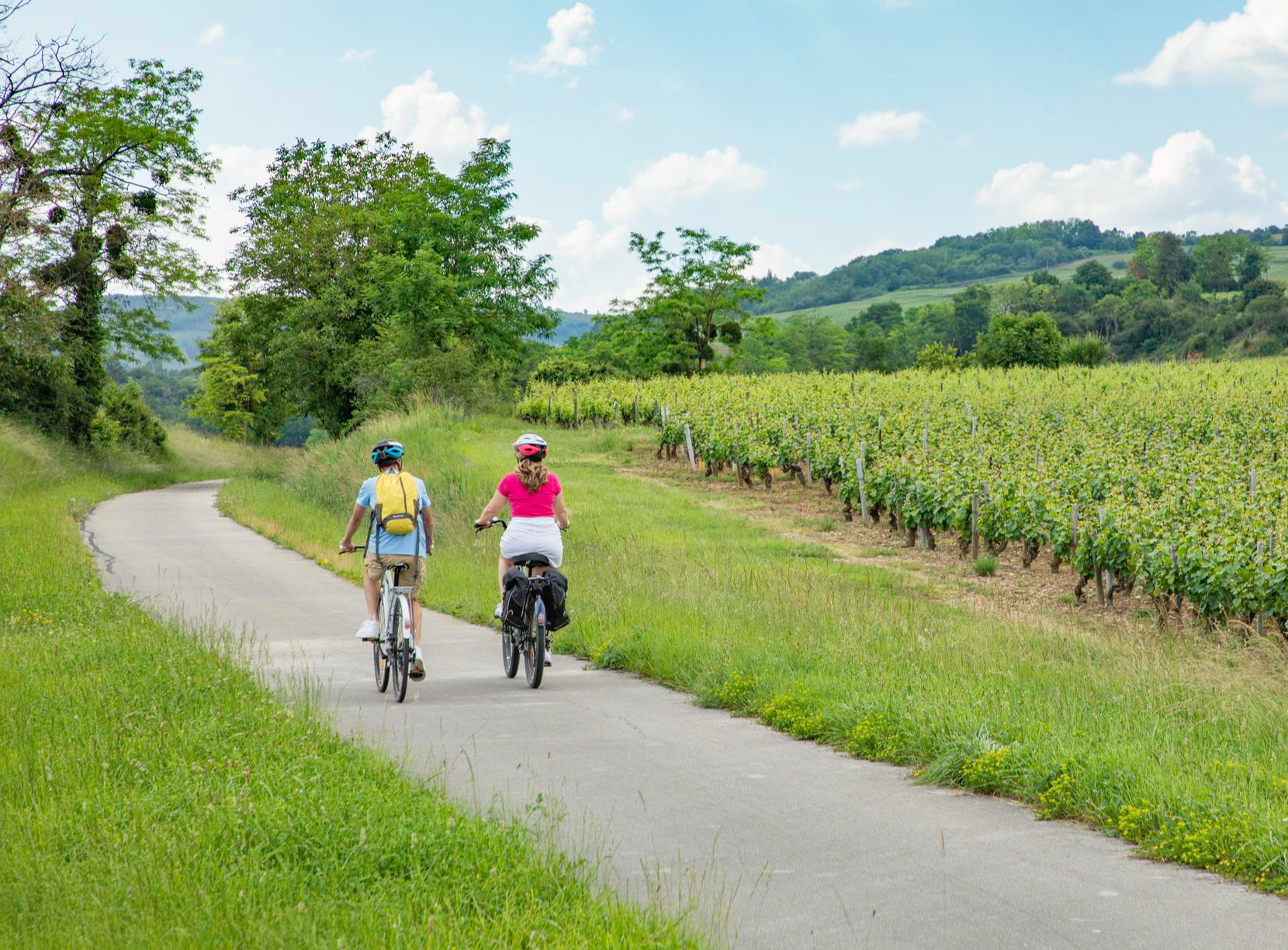
Les Vélœno71 – discover the grape varieties of Saône-et-Loire
A green escape along the Loire river – La Véloire
Other adventures in Saône-et-Loire


Tips from the Community

The Col du Bois Clair is a 396-meter high French mountain pass in the Massif Central. It is located in the Bourgogne-Franche-Comté region in the Saône-et-Loire department and lies within the municipality of Sologny. The pass summit is crossed by the departmental road D17. Beneath the pass runs the Tunnel du Bois Clair, a former railway tunnel. At 1.6 kilometers long, it is the longest tunnel in France accessible to bicycles. Today it serves as part of the Voie Verte cycle path, but is closed from October to April to protect hibernating bats.
0
0
The Col des Enceints is a mountain pass in the French region of Bourgogne-Franche-Comté (Département Saône-et-Loire) with a summit elevation of 529 meters. The pass is located in the Mâconnais mountains (Monts du Mâconnais) near the municipality of Bourgvilain. It is a popular route, especially among cyclists and hikers: For cyclists: The ascent from Pierreclos extends over approximately 4.3 kilometers with an elevation difference of about 257 meters and an average gradient of just under 6% (up to 12% at its steepest). For hikers: A moderate, approximately 8.5-kilometer circular hiking trail from Bourgvilain leads over the pass, among other routes, passing through forests and past small hamlets.
1
0

Nice climb, tough from Mesvres
0
0


It looks great to do it this round but right now I can't REALLY SORRY !!!
0
0

Finally there is a sign, certainly not like we are used to seeing them. Towards the orientation table, there is a post with a green border at the top where the name of the pass is indicated. In the area, that seems to be how the passes are marked, like its neighbor the Col de Pierreclos for example.
0
0


The climb is easy to do, as there are always easy passages in between
3
0
Frequently Asked Questions
What are some easy mountain passes in Saône-et-Loire?
Saône-et-Loire offers a mix of passes suitable for various activity levels. For a relatively easy experience, Haut-Folin Pass is quite doable from Arleuf, with passages that are not too steep. Similarly, Col de la Grange du Bois is described as a 'false flat' climb, making it accessible for many.
Which mountain passes offer the best scenic views?
For breathtaking vistas, Col de la Grange du Bois provides majestic views of the rock of Solutré. Col de la Croix de Messire Jean, with its clear summit, also offers beautiful views of the surrounding countryside. The Haut-Folin Pass, especially from Arleuf, opens up spectacular views of the Yonne valley.
Are there challenging mountain passes for experienced cyclists or hikers?
Yes, some passes offer more challenging gradients. The Col des Enceints - 529 m has an average gradient of 5.98% with maximum gradients reaching 12%, providing a good challenge. The climb to Haut-Folin Pass, while having easier sections, also features segments with gradients of 5-7% towards the summit.
What geological features can I see near the mountain passes?
The region is known for its varied topography. From passes like Col de la Grange du Bois, you can see notable geological features such as the rock of Solutré. The landscape also includes rolling hills and dense forests, particularly around the Haut-Folin Pass in the Morvan regional natural park.
What is the best time of year to visit the mountain passes in Saône-et-Loire?
The mountain passes in Saône-et-Loire are generally best visited during spring, summer, and early autumn when the weather is mild and conditions are favorable for outdoor activities. During these seasons, you can fully enjoy the scenic views and varied terrain without the challenges of winter conditions.
Are there family-friendly mountain passes in Saône-et-Loire?
While specific 'family-friendly' categories aren't always assigned, passes with gentler gradients and scenic viewpoints can be enjoyed by families. The region offers a mix of easy mountain passes suitable for different activity levels, allowing families to choose routes that match their capabilities. For example, the initial sections of Haut-Folin Pass from Arleuf are quite manageable.
Can I find circular routes or trails around the mountain passes?
Yes, the region offers various routes that can be combined to form circular walks or rides. For instance, nearby hiking guides feature circular routes like 'Le chemin des Chèvres — loop in the parc naturel régional du Morvan' which could be accessed from areas around passes in the Morvan. You can explore more options in the Easy hikes in Saône-et-Loire guide.
What outdoor activities can I do near the mountain passes?
The mountain passes in Saône-et-Loire are excellent starting points for various outdoor activities. You can enjoy hiking, cycling, and mountain biking. Nearby guides offer specific routes such as 'Mount Pouilly – View of La Roche de Solutré loop' for MTB, or 'Le chemin des Chèvres' for hiking. Discover more in the Waterfall hikes in Saône-et-Loire, Easy hikes in Saône-et-Loire, and MTB Trails in Saône-et-Loire guides.
Are there specific hiking trails near these mountain passes?
Absolutely. Many passes are integrated into or provide access to hiking trails. For example, the Morvan regional natural park, where Haut-Folin Pass is located, has numerous trails. You can find specific routes like 'Le chemin des Chèvres — loop in the parc naturel régional du Morvan' in the Easy hikes in Saône-et-Loire guide, which are often accessible from areas near the passes.
What do visitors enjoy most about the mountain passes in Saône-et-Loire?
Visitors particularly appreciate the diverse landscapes, from dense forests to open countryside views. The historical significance, such as the Col de la Grange du Bois being part of the Tour de France, adds to the appeal. The clear summits offering beautiful views, like at Col de la Croix de Messire Jean, are also highly valued by the komoot community.
Are mountain passes accessible in winter?
While some passes might be accessible, winter conditions can make routes challenging due to snow and ice, especially at higher altitudes like Haut-Folin Pass. It's advisable to check local weather and road conditions before planning a winter visit, as some roads may be closed or require special equipment.
Are there any historical or cultural sites visible from the passes?
Yes, the region blends natural beauty with historical significance. From Col de la Grange du Bois, you can see the iconic rock of Solutré, a significant prehistoric site. The area also features settlements and religious buildings that can be observed from various viewpoints along the passes.
What is the highest mountain pass in Saône-et-Loire?
The highest pass in the Morvan regional natural park, located within Saône-et-Loire, is Haut-Folin Pass, which reaches an altitude of 873 meters.
Most popular routes in Saône-et-Loire
Most popular attractions in Saône-et-Loire

Get inspired with the komoot mobile app


Explore more
See even more epic mountain passes by checking out these guides in Saône-et-Loire:
