The best hikes from bus stations in Saône-et-Loire
4.5
(5159)
26,059
hikers
1,405
hikes
Bus station hiking trails in Saône-et-Loire offer access to diverse landscapes in Southern Burgundy, characterized by rolling hills, vineyards, and dense forests. The region features a mix of "bocage" countryside with hedgerows and pastures, alongside more rugged areas with granite rock formations and river valleys. Hikers can explore varied terrain, from the Mâconnais vineyards to parts of the Parc naturel régional du Morvan.
Best bus station hiking trails in Saône-et-Loire
- The most popular bus station hiking route is Jambles: From…
Last updated: July 11, 2026
4.5
(20)
51
hikers
5.76km
01:43
180m
180m
An easy 3.6-mile (5.8 km) loop hike from Jambles to Mount Avril, offering 595 feet (181 metres) of elevation gain and a rewarding view.
4.1
(7)
15
hikers
7.64km
02:09
150m
160m
Moderate hike. Good fitness required. Easily-accessible paths. Suitable for all skill levels.

Sign up for free
4.0
(1)
3
hikers
16.2km
04:55
530m
530m
Hike the moderate 10.1-mile Montagne de Saint-Cyr loop from Matour for panoramic views and diverse forest and meadow terrain.
4.7
(63)
225
hikers
Moderate hike. Good fitness required. Easily-accessible paths. Suitable for all skill levels.
3.9
(11)
44
hikers
6.06km
01:34
30m
30m
Easy hike. Great for any fitness level. Easily-accessible paths. Suitable for all skill levels.
Get access to more routes and recommendations from other explorers.
Sign up for free
Already have an account?
Our route recommendations are based on thousands of hikes, rides, and runs completed by other people on komoot.
Start today with a free account
Your next adventure awaits.
Login or Signup
Popular around Saône-et-Loire
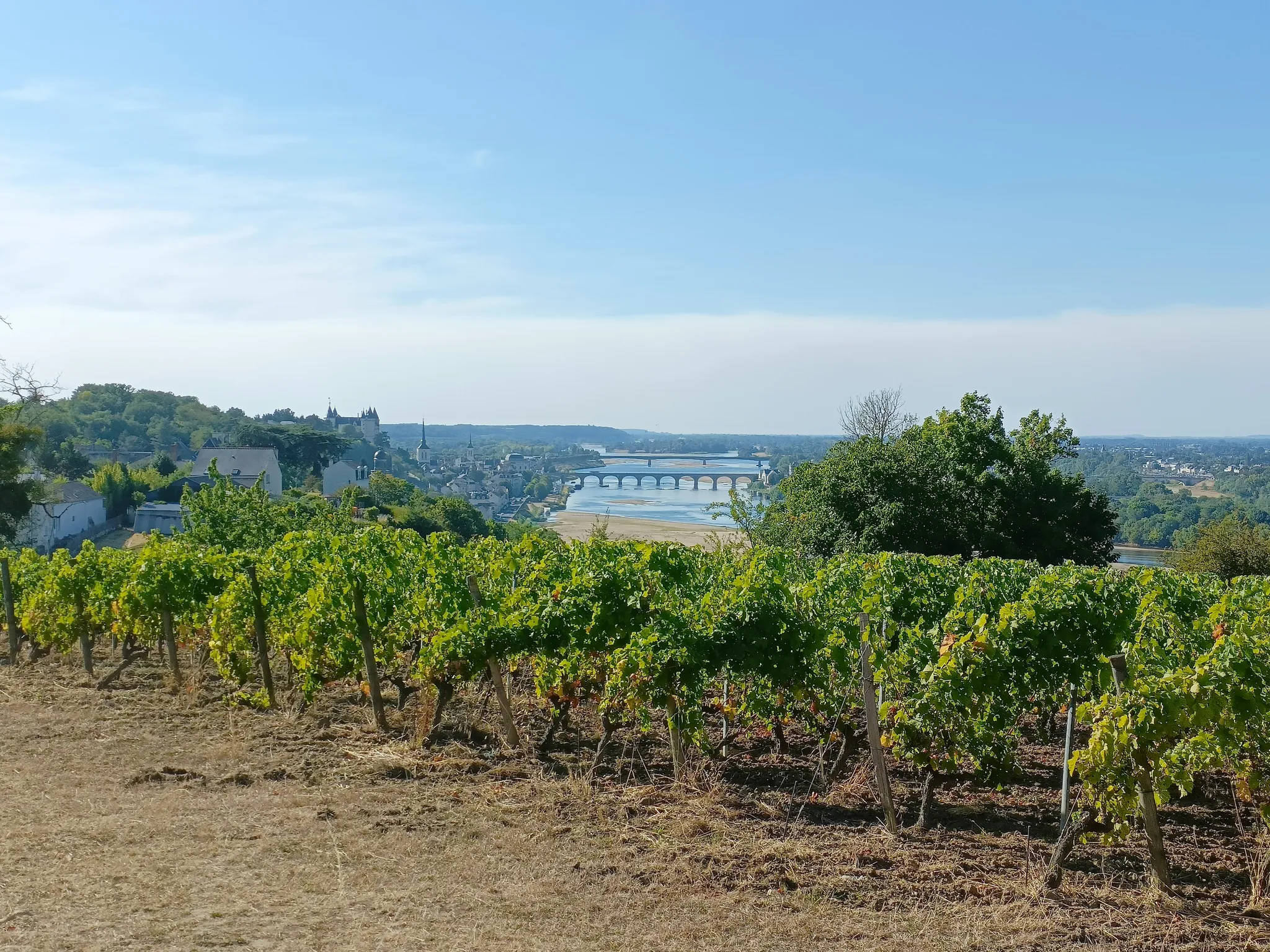
GR3 from the ocean to its source – The Loire, a wild European river
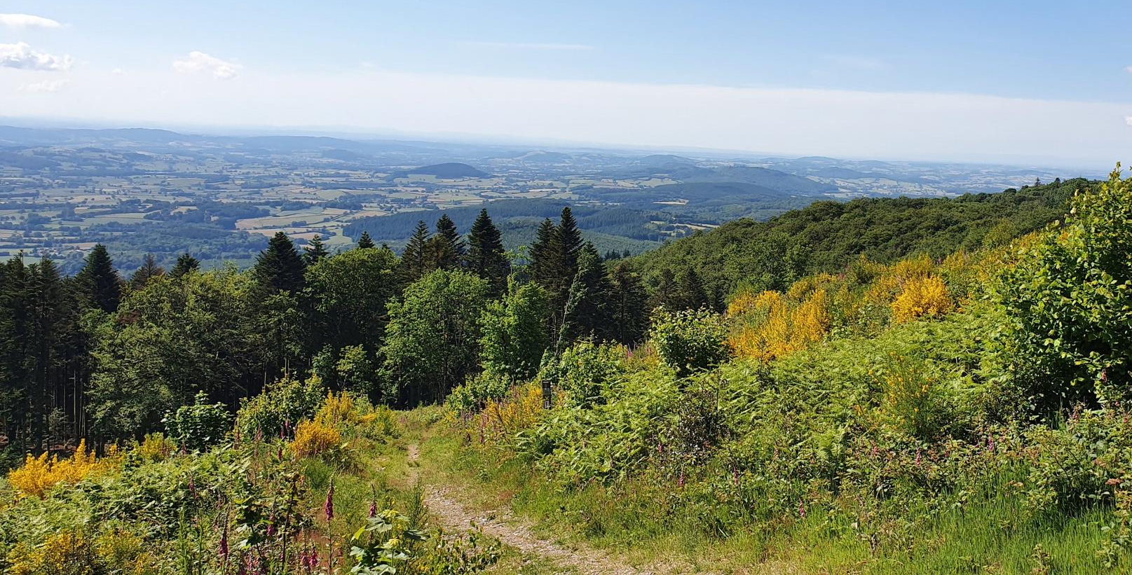
Bibracte-Alesia Hiking Trail – In the footsteps of the Gauls
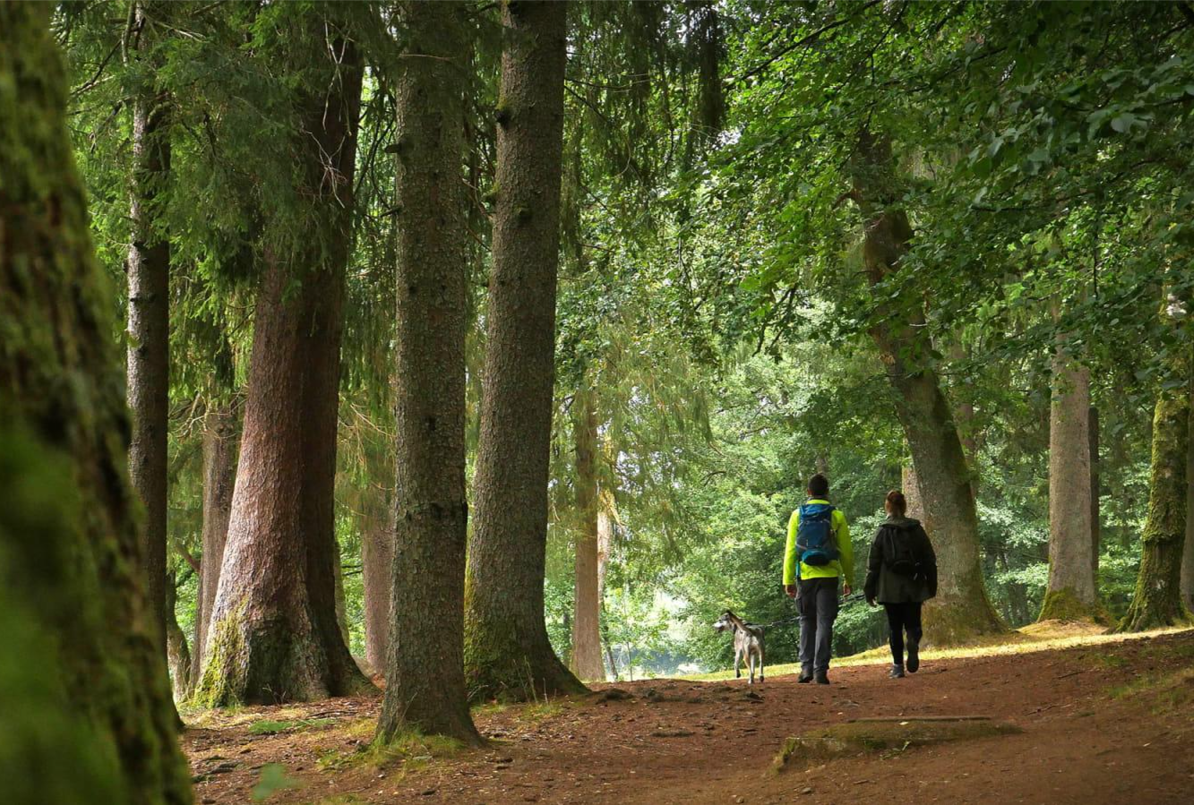
Tour du Morvan — The little mountain of Burgundy
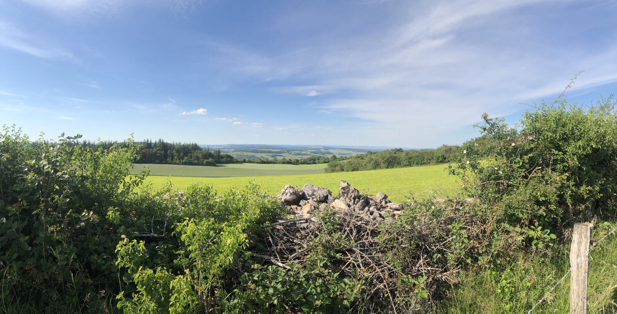
Circuit discovery of the côte chalonnaise in 3 days
The Loire from ocean to source – GR 3 between Gilly-sur-Loire and Chabreloche
The Loire from source to ocean – GR3 in Burgundy-Franche-Comté
Via Cluny – From the Jura Mountains to Burgundy
The gentle hills of France’s Beaujolais region — GR 76

The Grande traversée du Massif Central by gravel bike
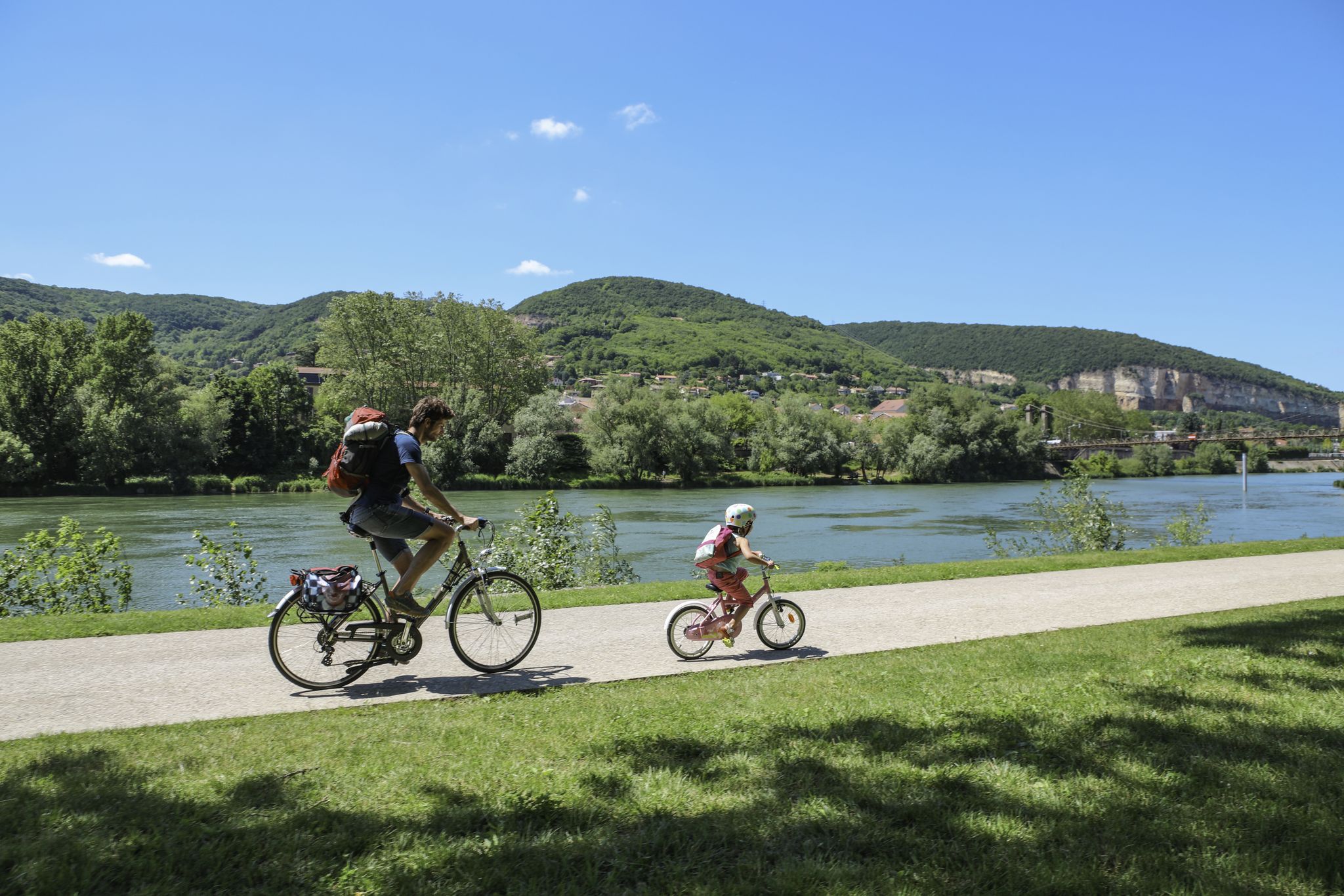
The Voie Bleue – Moselle-Saône by bike
Other adventures in Saône-et-Loire


Tips from the Community

A very beautiful hike, I did this barefoot
0
0

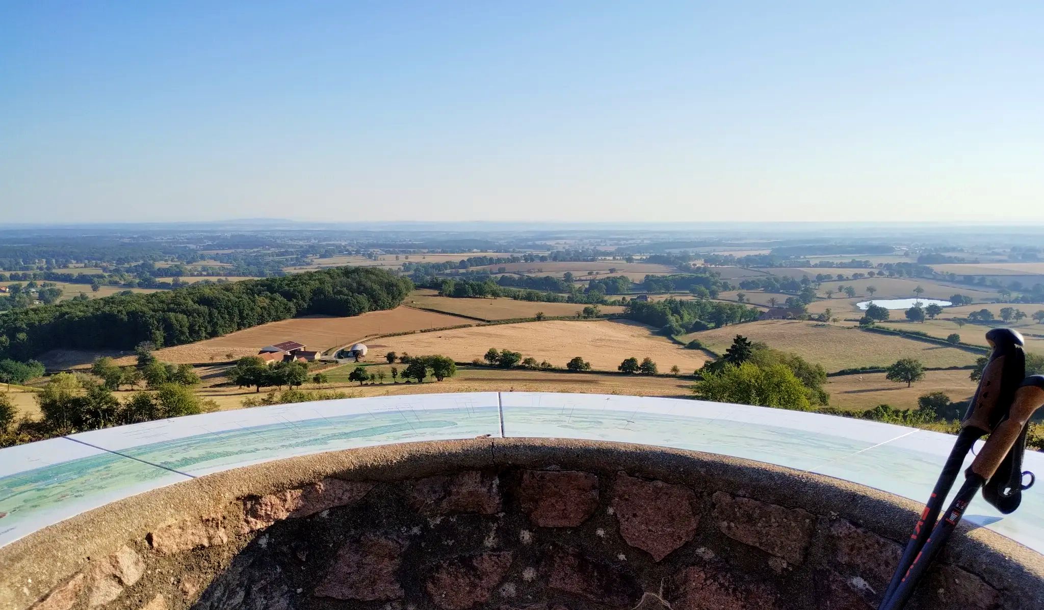
Mont Saint-Cyr is located in southern Burgundy (Saône-et-Loire department) in the municipality of Montmelard and, at 771 meters, is the highest point of the Mâconnais mountains. From the summit, there is a wide panoramic view of the surrounding landscapes of Charolais, Brionnais, and Clunisois. In very clear weather, the view extends eastwards to Mont Blanc in the Alps. On the mountain are the historical remains of a 10th-century monastery, which was destroyed during the Huguenot Wars. There is a picnic area in the forest as well as orientation panels that are helpful in identifying the surrounding peaks and valleys.
0
0

The descent to the power station is too steep. It's a slope of about 45 degrees with loose rocks and no footing. It's actually too dangerous. This hike is definitely not easy.
0
0
This isn't an easy hike, more of a moderate/difficult one. Not for small children. There's climbing and scrambling over rocks, which can be dangerous at times!
2
0
Thanks for the tip, I can only second that. After the forest trails, the climb up the gorge is a perfect finale.
0
0
I highly recommend changing the direction of the hike from east to west. The ascent is easier than the descent through the gorge, and after the comfortable, but somewhat monotonous, forest paths, it's a perfect ending!
0
0

Nice hike. 2/3 is however on wide forest paths for forestry. 1/3 of the hike was on rock walls and boulders. Wouldn't call it an easy hike.
3
0

Frequently Asked Questions
How many hiking trails accessible by bus are there in Saône-et-Loire?
Saône-et-Loire offers a vast network of hiking trails, with over 1,300 routes that are accessible from bus stations. This includes a wide range of options, from easy strolls to more challenging treks, ensuring there's something for every hiker.
Are there easy bus-accessible hikes suitable for beginners or families?
Yes, Saône-et-Loire has numerous easy trails perfect for beginners or families. For example, the Jambles: From One Slope to Another Trail is an easy 5.7 km route with gentle elevation changes, offering a pleasant experience for all ages. Many of the region's 400+ easy trails are designed to be accessible and enjoyable.
Can I find circular hiking routes that start and end at a bus station?
Absolutely. Many trails in Saône-et-Loire are designed as circular routes, making them convenient for public transport users. An excellent example is the Culles-les-roches and the Géorama Route — loop, a moderate 7.6 km hike that brings you back to your starting point, often near a bus stop.
What kind of landscapes can I expect on bus-accessible hikes in Saône-et-Loire?
Hiking from bus stations in Saône-et-Loire allows you to explore a diverse range of landscapes. You can find trails winding through the famous Mâconnais vineyards, across the rolling 'bocage' pastures of the Charolais-Brionnais, or into the dense forests and unique rock formations of the Parc naturel régional du Morvan. Many routes also offer panoramic views from iconic sites like the Roches de Solutré.
Are there any notable viewpoints or natural landmarks along these trails?
Yes, Saône-et-Loire is rich in stunning viewpoints and natural landmarks. Many bus-accessible trails lead to or pass by significant sites such as the Roche de Solutré and Vergisson Rock, offering breathtaking vistas over the vineyards. You might also encounter the unique granite formations of the Rochers du Carnaval d'Uchon or enjoy expansive views from Three Crosses Mountain.
What do other hikers say about the bus station trails in Saône-et-Loire?
The komoot community highly rates the hiking experience in Saône-et-Loire, with an average score of 4.6 out of 5 stars from over 4,600 ratings. Hikers frequently praise the region's well-maintained trails, the stunning diversity of landscapes, and the convenience of accessing routes directly from public transport hubs.
Are there any trails that pass by lakes or rivers?
Yes, Saône-et-Loire, named after the Saône and Loire rivers, offers many trails that incorporate water features. You can find walks along tranquil towpaths of the Canal du Centre or routes that pass by picturesque lakes such as Fleurville Lake or Lake Saint-Point, especially in the Burgundy Bresse area known for its ponds.
What is the typical length and duration of a bus-accessible hike?
The lengths and durations vary significantly. You can find shorter, easy walks like the Jambles: From One Slope to Another Trail, which is about 5.7 km and takes around 1 hour 45 minutes. For those seeking a longer adventure, routes like the Montagne de Saint-Cyr Loop from Matour span over 16 km and can take around 5 hours, all accessible from local bus services.
Are these bus station hiking trails suitable for dogs?
Many hiking trails in Saône-et-Loire are dog-friendly, allowing you to enjoy the region's natural beauty with your canine companion. However, it's always advisable to check specific route details for any restrictions, especially in nature reserves or agricultural areas where livestock may be present. Always keep your dog on a leash and clean up after them.
Can I combine hiking with cultural or historical exploration on these routes?
Absolutely. Many trails in Saône-et-Loire weave through historic towns, past medieval villages like Brancion, and alongside impressive châteaux such as Château de Cormatin or Château de Rully. For instance, the View of Autun – The Couhard Pyramid loop from Autun offers a moderate hike with historical insights into the ancient city of Autun.
When is the best time of year to go hiking from bus stations in Saône-et-Loire?
Saône-et-Loire is beautiful year-round, but spring (April-June) and autumn (September-October) are particularly popular for hiking. During these seasons, the weather is generally mild, and the landscapes are vibrant with blooming flowers or rich autumnal colors. Summer can also be pleasant, especially in forested areas, but it's advisable to start early to avoid the midday heat.
Most popular routes in Saône-et-Loire
Most popular attractions in Saône-et-Loire

Get inspired with the komoot mobile app


Explore more
Browse the best Hikes in other regions.
