The best mountain hikes around Trigance
5.0
(8)
31
hikers
5
hikes
Mountaineering routes around Trigance are situated within the Verdon Natural Regional Park, offering access to the dramatic Gorges du Verdon, Europe's largest canyon. The region features a diverse landscape of mountainous terrain, deep gorges, and extensive forested areas, including the Jabron Valley. This environment provides varied elevation gains and challenging natural features for mountaineering.
Best mountaineering routes around Trigance
- The most popular mountaineering route is Amazing view of the valley – Narrow Rock Passage loop from Col des Lèques,…
Last updated: August 15, 2026
5.0
(2)
9
hikers
12.7km
04:17
550m
550m
Hard mountaineering route. Good fitness required. Sure-footedness, sturdy shoes and alpine experience required.
5.0
(2)
8
hikers
14.8km
04:28
290m
290m
Hard mountaineering route. Good fitness required. Sure-footedness, sturdy shoes and alpine experience required.

Sign up for free
5.0
(3)
8
hikers
2.67km
01:05
150m
140m
Moderate mountaineering route. Great for any fitness level. Mostly accessible paths. Sure-footedness required.
5.0
(1)
5
hikers
30.7km
09:41
1,060m
1,060m
Hard mountaineering route. Very good fitness required. Sure-footedness, sturdy shoes and alpine experience required.
1
hikers
17.1km
06:39
990m
1,000m
Hard mountaineering route. Very good fitness required. Sure-footedness, sturdy shoes and alpine experience required.
Our route recommendations are based on thousands of hikes, rides, and runs completed by other people on komoot.
Start today with a free account
Your next adventure awaits.
Login or Signup
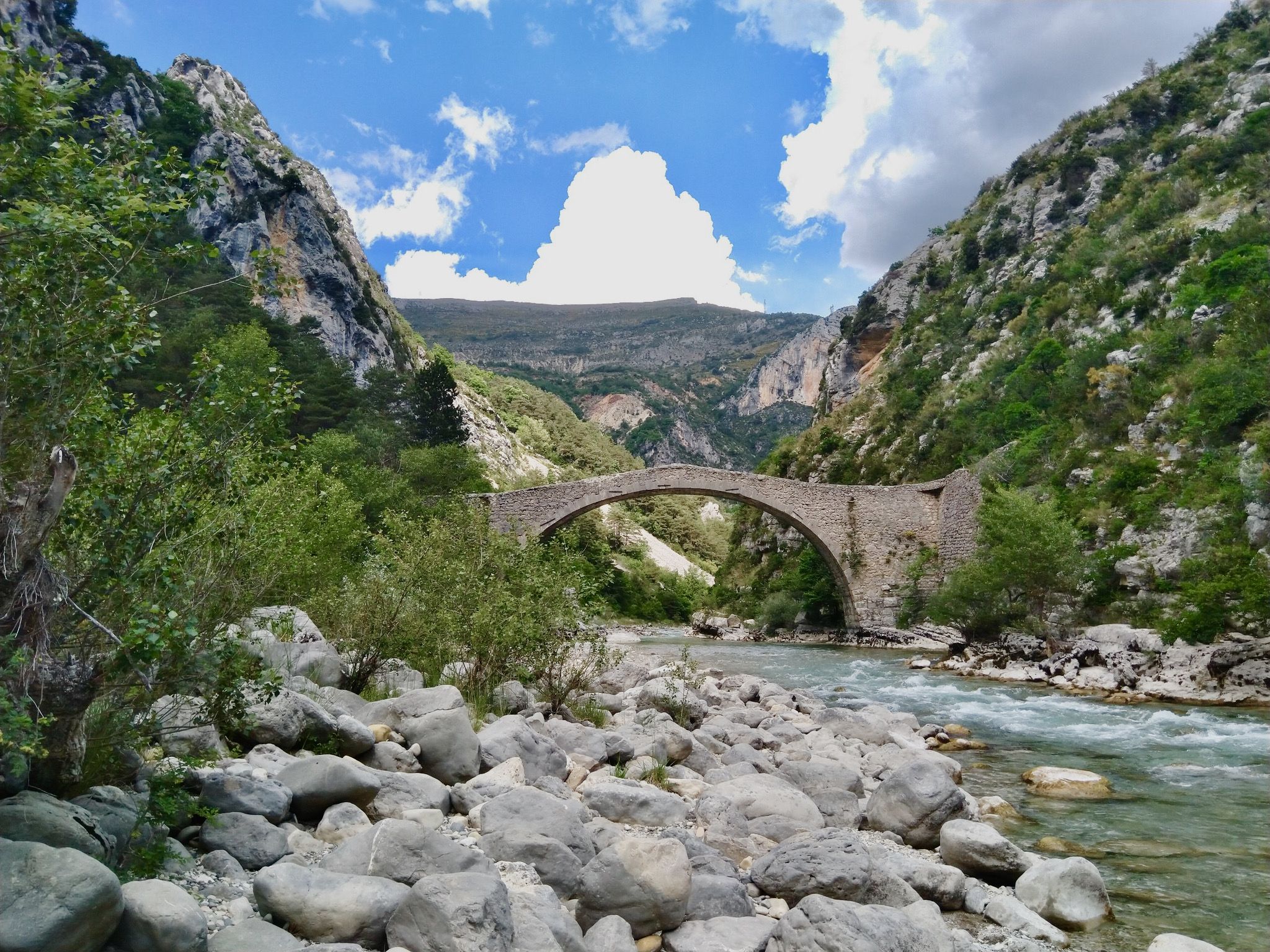
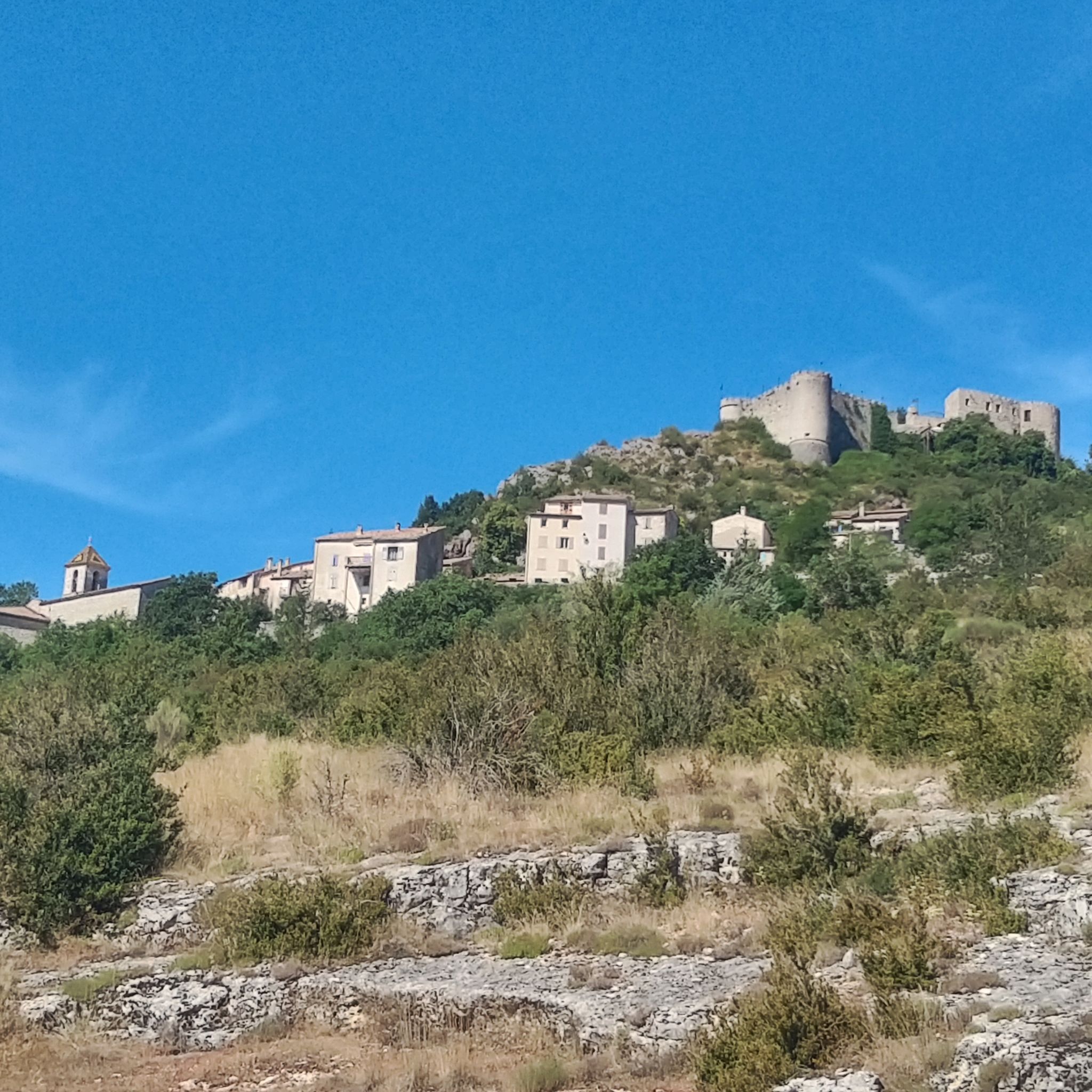
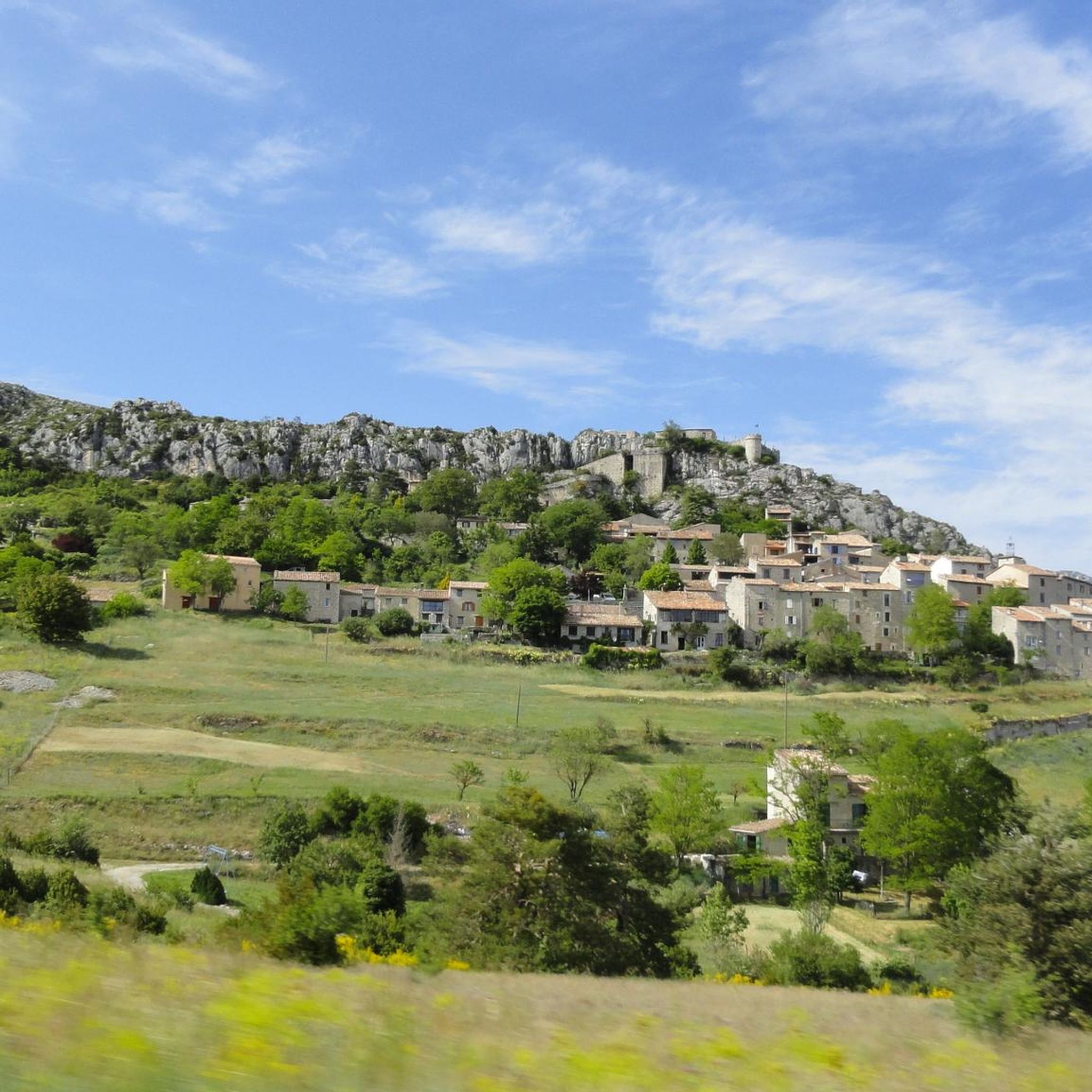

Other adventures around Trigance

Tips from the Community

First viewpoint (Belvédère) on the descent from Chalet de la Maline, slightly off the hiking trail.
0
0
Ideal spot for a lunch break on the Sentier Blanc-Martel, but also well-visited.
0
0

A treat! From Galetas, the first half to Aiguines is very smooth, the rest gets a little tougher but it's still quite smooth. A very nice climb!
0
0

think about poles, they help a lot when going up and down, they help with the view of uneven terrain.
0
0

This is where the gorge is truly at its most beautiful.
0
0
After the summit, the hiking trail was completely destroyed by the loggers. The forestry equipment dug out quagmires, and you sink 20 cm straight into the mud, making it impassable. Later, the descent is very difficult in wet weather. I do not recommend the entire loop at all.
2
1

Frequently Asked Questions
How many mountaineering routes are available around Trigance?
There are 6 mountaineering routes detailed in this guide for the Trigance area, offering a range of experiences within the stunning Verdon Natural Regional Park. These routes are highly rated by the komoot community, with an average score of 4.8 stars.
Are there any family-friendly mountaineering options near Trigance?
While many routes in the Gorges du Verdon can be challenging, the region does offer options suitable for families. For instance, the Trigance canyon (Bas Jabron canyon) is known for easy canyoning and aqua rando experiences, which can be a unique family adventure. For a shorter, moderate mountaineering route, consider Le Roc loop from Castellane, which is just under 3 km.
What kind of terrain can I expect on mountaineering routes in Trigance?
Mountaineering around Trigance is characterized by the dramatic deep canyons of the Gorges du Verdon, rugged mountainous terrain, and dense forested landscapes. You'll encounter varied elevation gains, from moderate ascents to more challenging climbs, often with breathtaking views of the Verdon River and surrounding valleys.
Are there any circular mountaineering routes in the area?
Yes, several routes around Trigance are circular, allowing you to start and end at the same point. Examples include the moderate Amazing view of the valley – Narrow Rock Passage loop from Col des Lèques, which offers expansive valley views, or the Verdon Gorge – Pont d'Estellié loop from Verdon Gorge, which follows the river near the notable Pont d'Estellié.
What are the best viewpoints along the mountaineering trails?
The region is renowned for its spectacular vistas. Many routes offer incredible views of the Gorges du Verdon. A highlight is the View of the Verdon Gorge from the Blanc-Martel trail. The Amazing view of the valley – Narrow Rock Passage loop from Col des Lèques also lives up to its name with expansive valley views. For a different perspective, the Rancoumas lookout, mentioned in regional research, provides unusual views of the Gorges.
Are there any dog-friendly trails for mountaineering near Trigance?
While the Gorges du Verdon area is generally welcoming to outdoor enthusiasts, specific regulations for dogs can vary, especially within the Verdon Natural Regional Park. It's always best to check local signage or park guidelines for the specific trail you plan to undertake. Many trails in the forested areas around Trigance may be suitable, but always keep your dog on a leash and be mindful of wildlife.
What natural features or landmarks can I see while mountaineering?
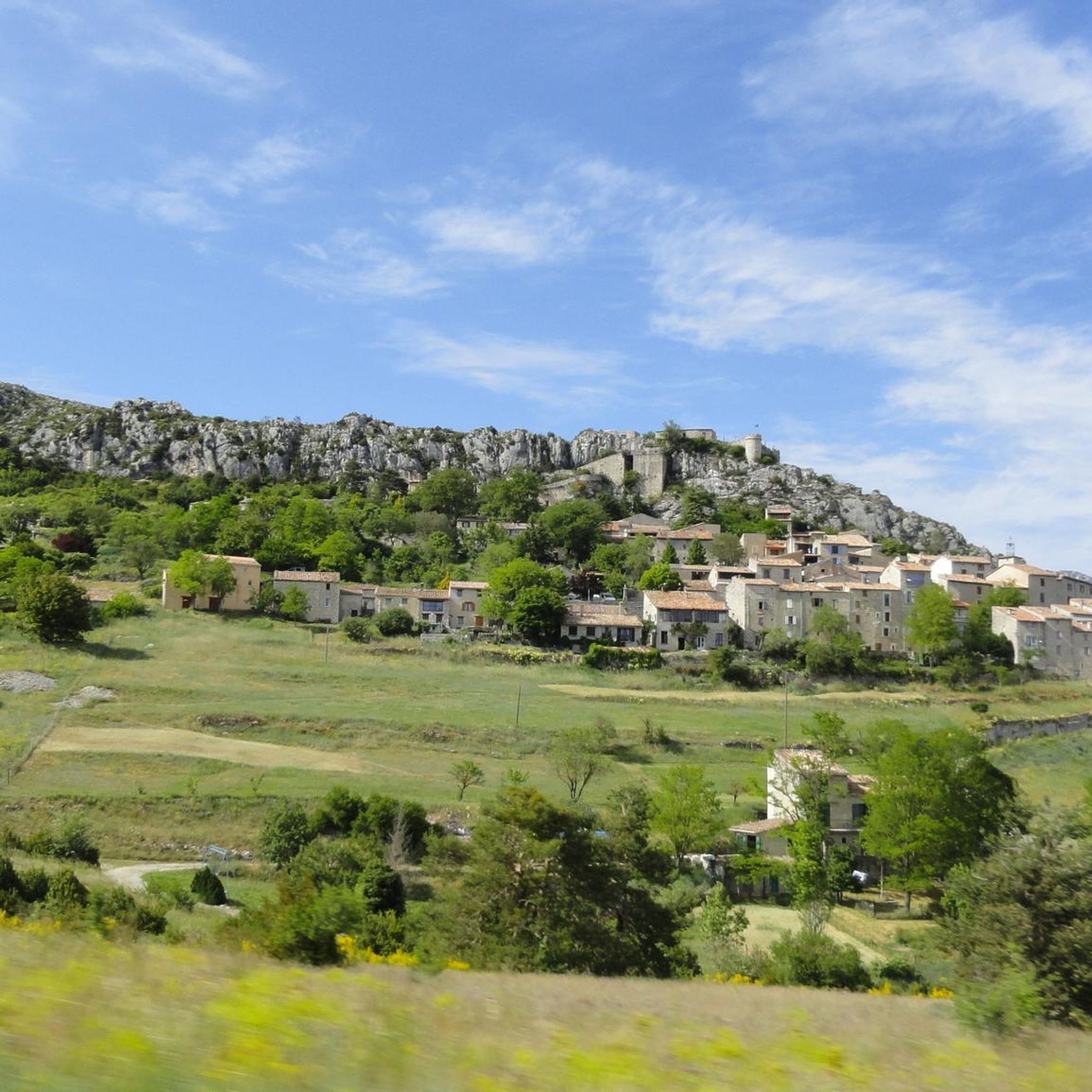
The area is rich in natural beauty and historical sites. You'll encounter the dramatic cliffs of the Gorges du Verdon, the serene Jabron Valley, and extensive forests. Notable landmarks include the Pont d'Estellié, the impressive Cadières de Brandis natural monument, and various viewpoints like the Dent d'Aire viewpoint. You might also spot the Trigance castle overlooking the village.
What is the best time of year for mountaineering in Trigance?
The spring and autumn months generally offer the most pleasant conditions for mountaineering in Trigance, with milder temperatures and beautiful scenery. Summer can be very hot, especially in the canyons, making early morning starts advisable. Winter mountaineering is possible but requires appropriate gear and awareness of snow and ice conditions, particularly at higher elevations.
Are there any challenging or long-distance mountaineering routes?
Yes, for those seeking a more demanding experience, the region offers challenging routes. The View of the Gorges du Verdon – Verdon Gorge loop from Rougon is a difficult route spanning nearly 30 km with over 1000 meters of elevation gain. The famous Blanc-Martel trail, part of the Imbert breach – Blanc-Martel trail loop from Rougon, is also known for its challenging nature and stunning views into Europe's largest canyon.
Where can I find parking for mountaineering trails in Trigance?
Parking availability varies by trailhead. For routes starting from Col des Lèques or Rougon, there are typically designated parking areas. For example, the Amazing view of the valley – Narrow Rock Passage loop starts from Col des Lèques, which usually has parking. It's advisable to check specific route descriptions for detailed parking information, especially during peak seasons.
Is public transport available to reach mountaineering trailheads near Trigance?
Public transport options directly to specific mountaineering trailheads in the Gorges du Verdon area can be limited, as it is a rural and mountainous region. While Trigance village itself may have some local bus services, reaching more remote starting points often requires a car. Planning your trip with a personal vehicle or considering local taxi services for specific drop-offs and pick-ups is generally recommended for flexibility.
What essential gear should I bring for mountaineering in Trigance?
Given the varied terrain and potential for challenging conditions, essential gear includes sturdy hiking boots with good ankle support, layers of clothing suitable for changing weather, a waterproof jacket, sufficient water, high-energy snacks, a map and compass or GPS device, and sun protection. For more technical routes or canyoning, specialized equipment like helmets, harnesses, and ropes may be necessary.
Are there opportunities for wild swimming after a mountaineering trip?
Yes, the region offers several beautiful lakes nearby, such as Lac de Sainte-Croix, Lac de Castillon, and Lac d'Esparron, which are perfect for a refreshing swim after a day of mountaineering. The Verdon River itself also has spots suitable for swimming, particularly in less turbulent sections or designated areas, providing a great way to cool down and relax.
Most popular routes around Trigance
Most popular attractions around Trigance

Get inspired with the komoot mobile app


Explore more
Browse the best Mountain Hikes & Routes in other regions.
