The best gravel rides around Yscir
4.7
(9)
93
riders
5
rides
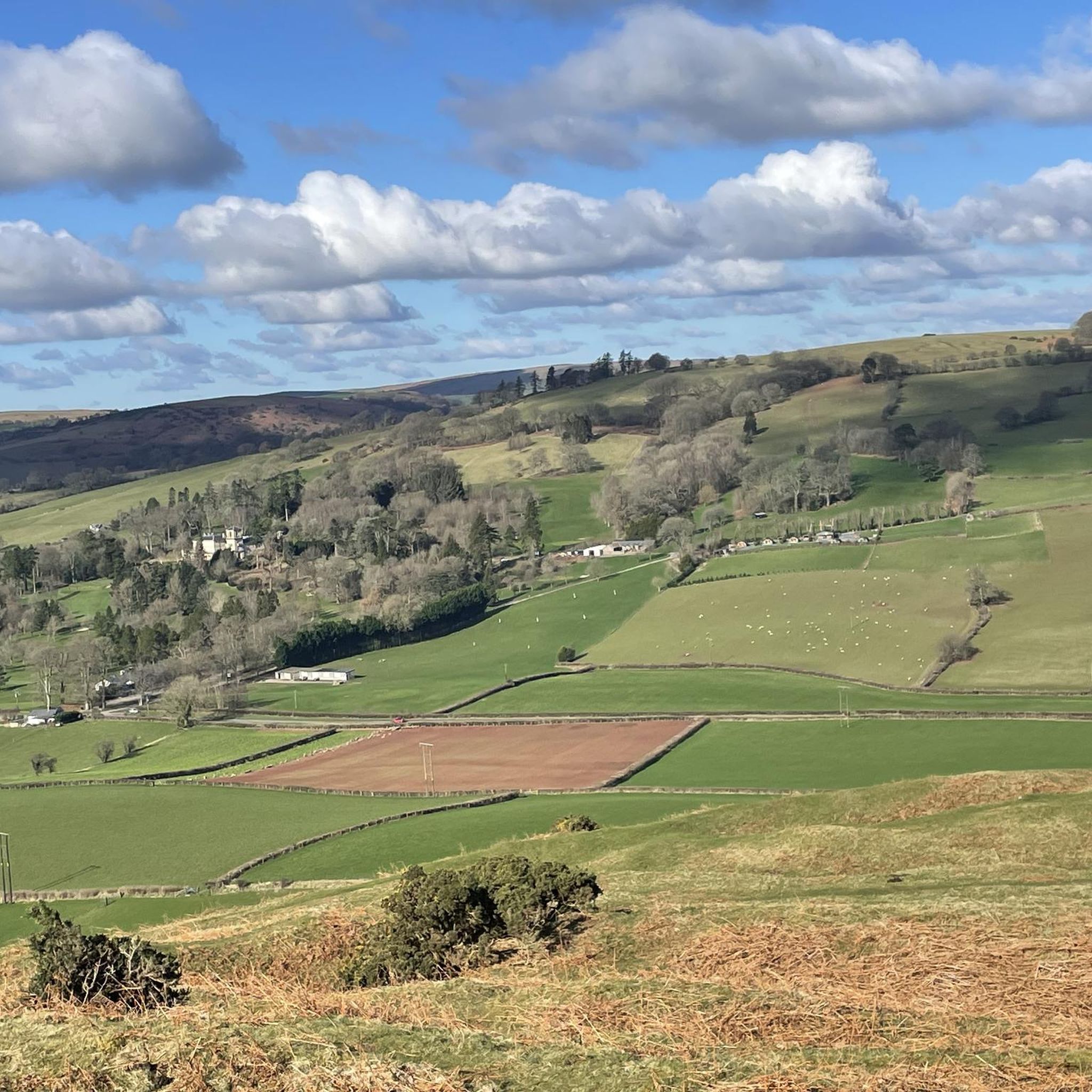
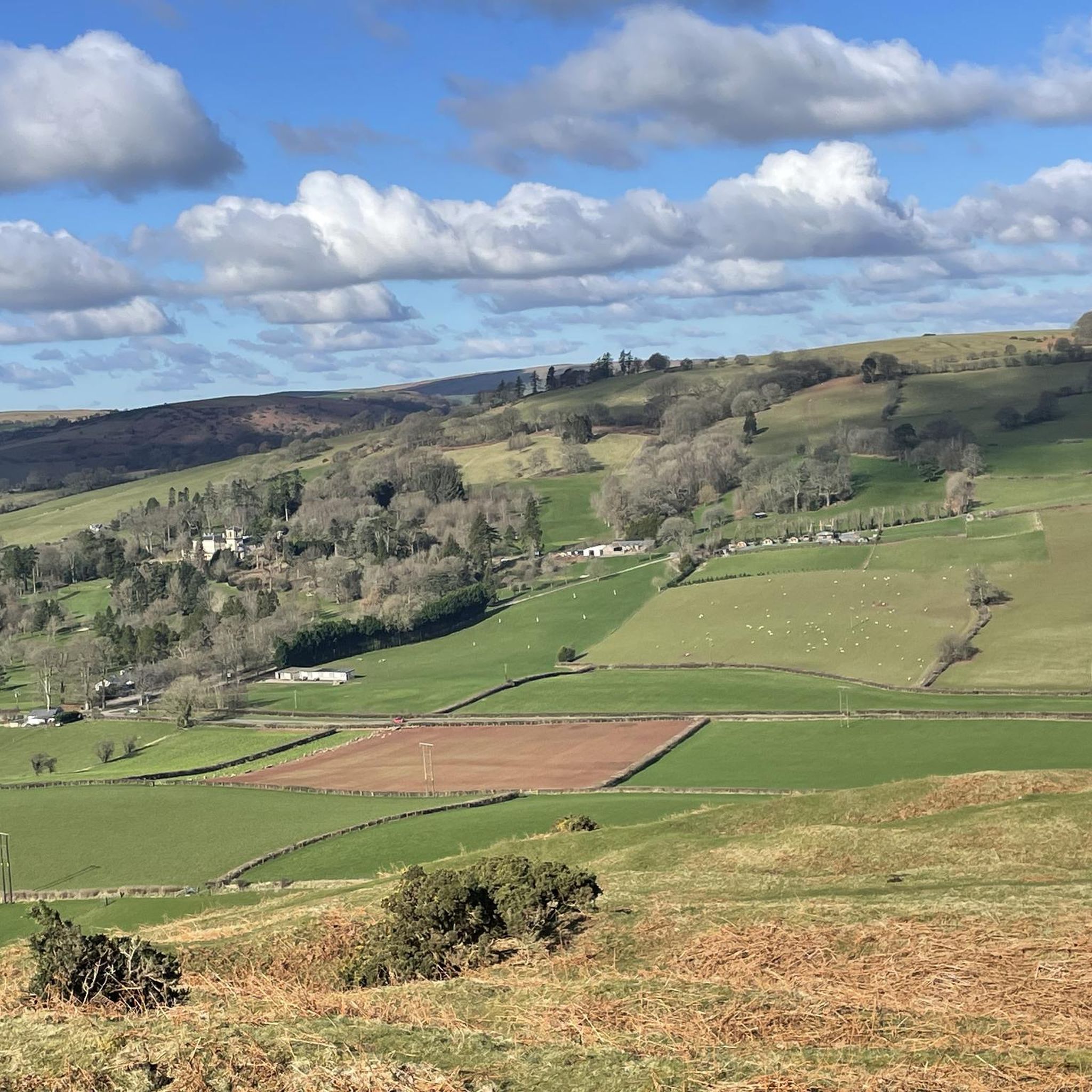
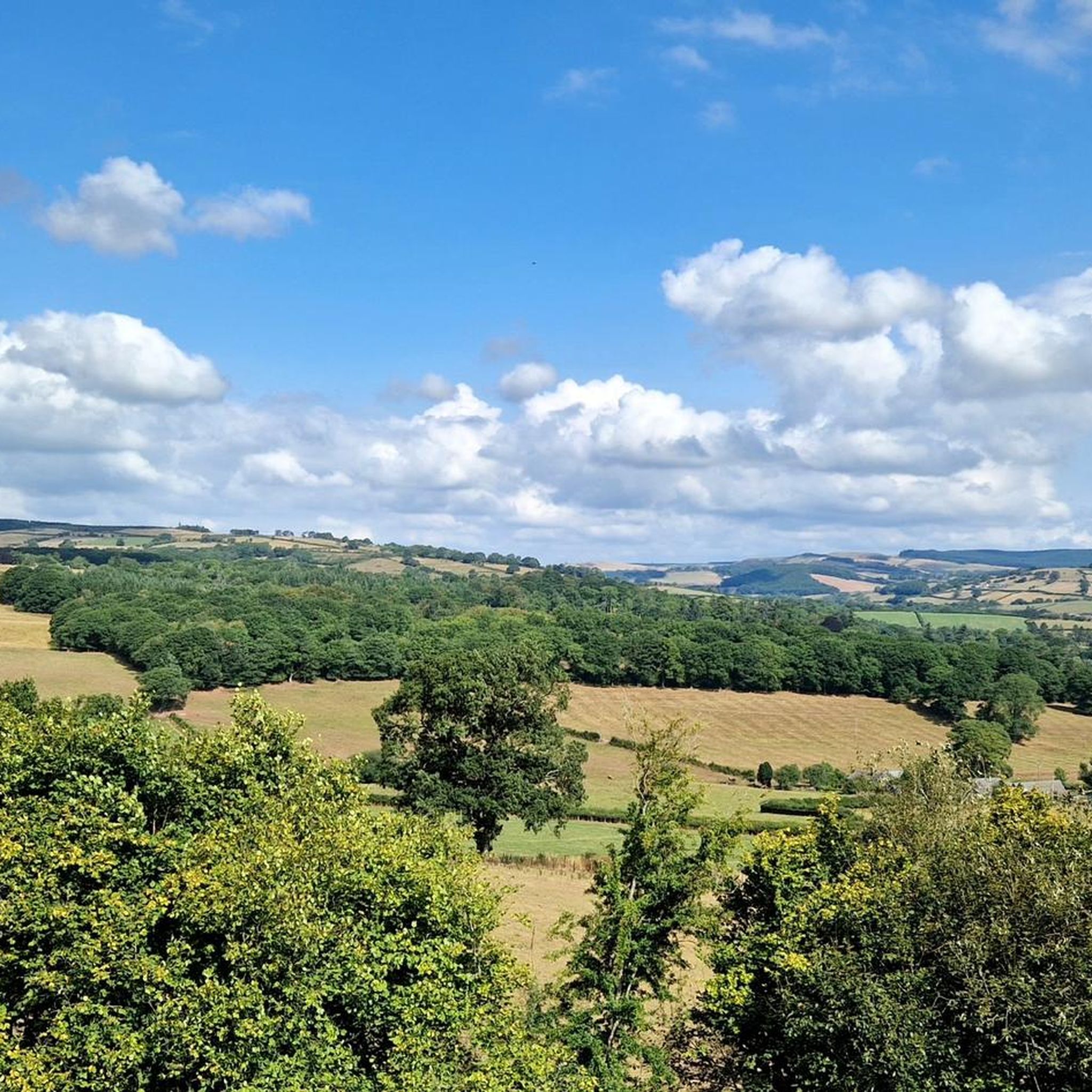
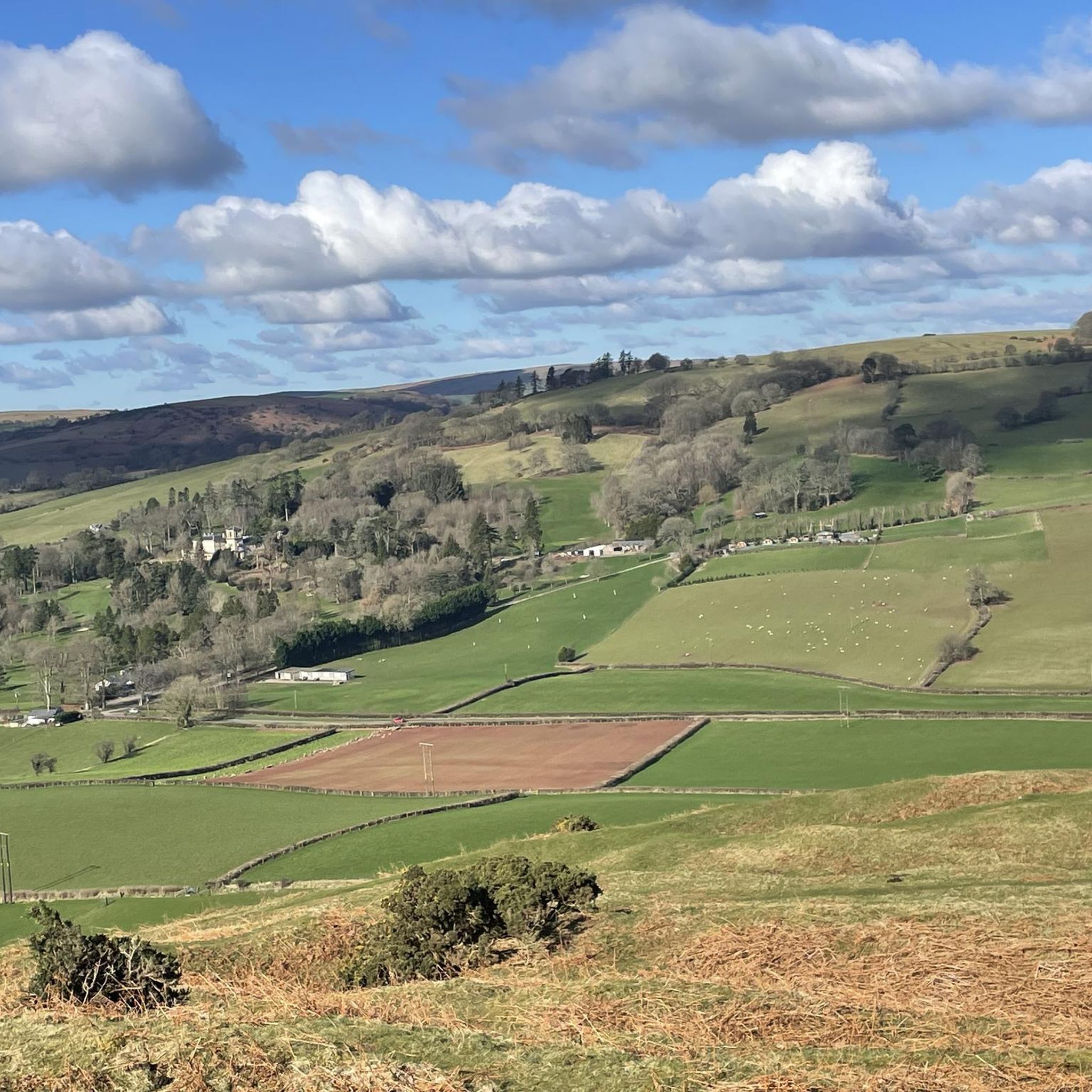
Gravel bike trails around Yscir are situated within Powys, Wales, offering access to the landscapes of the Brecon Beacons National Park (Bannau Brycheiniog) and the Cambrian Mountains. The terrain features varied surfaces including ancient Roman roads, remote drover's tracks, and forest roads. This region is characterized by extensive countryside, river valleys like the Afon Ysgir, and open moorlands, providing diverse gradients and surfaces for gravel biking.
Best gravel bike trails around Yscir
- The most popular gravel bike trail is Brynich…
Last updated: July 1, 2026
4.3
(3)
22
riders
Easy gravel ride. Great for any fitness level. Mostly paved surfaces. Suitable for all skill levels.
5.0
(3)
25
riders
63.2km
03:23
350m
350m
Moderate gravel ride. Good fitness required. Mostly paved surfaces. Suitable for all skill levels.

Sign up for free
4.5
(2)
31
riders
43.2km
02:22
420m
420m
Moderate gravel ride. Good fitness required. Mostly paved surfaces. Suitable for all skill levels.
5.0
(1)
13
riders
87.0km
05:23
1,300m
1,300m
Hard gravel ride. Very good fitness required. Mostly paved surfaces. Suitable for all skill levels.
2
riders
20.4km
01:18
220m
220m
Moderate gravel ride. Good fitness required. Mostly paved surfaces. Suitable for all skill levels.
Our route recommendations are based on thousands of hikes, rides, and runs completed by other people on komoot.
Start today with a free account
Your next adventure awaits.
Login or Signup

Tips from the Community

It's a beautiful canal but what is amazing is that it runs all the way to Brecon
0
0

gorgeous views, very popular with walkers, so be aware
0
0
ideal for cycling, road bike would do it although gravel/mtb would be more comfortable. very popular with walkers so be aware
0
0

A wooden drawbridge carried the road over the canal and was replaced by a fixed bridge after navigation on the canal ceased in the 1930s. Before the canal reopened to boats in 1970, a steel drawbridge with an electric operating mechanism was installed. There are four other drawbridges along the canal to the west. They are for farmers to access fields and are less elaborate than the one at Talybont. Drawbridges saved the canal company the expense of building stone bridges over the canal at these locations.
0
0
This structure is one of the largest canal aqueducts ever built in South Wales. Its four stone arches carry the Brecknock and Abergavenny Canal (later the Monmouthshire & Brecon Canal) across the Usk to enable boats to reach Brecon, on the north side of the river Brynich aqueduct was one of the last sections of the canal to be completed to take the canal into Brecon in 1801. The structure was designed by Thomas Dadford Junior and built by local contractors. The aqueduct is at right angles to the river, reducing its length to the minimum possible. This means that the canal, running parallel to the river, has to turn sharply on both approaches.
0
0
This lock was the first on the Monmouthshire & Brecon Canal to be restored after the canal fell into dereliction. The lock was created when the canal was built c.1800. The section of canal which crosses the river Usk on the nearby Brynich aqueduct is lower than the final stretch of water into Brecon. The bridge over the canal here is joined to the lock walls. The road continues across the river Usk on a five-arch stone bridge constructed in the late 18th century.
0
0

Pretty stone bridge over the canal near the River Usk.
0
0
Frequently Asked Questions
How many gravel bike trails are available around Yscir?
There are 5 gravel bike trails documented around Yscir on komoot, offering a variety of experiences from easy canal paths to more challenging routes with significant elevation. These trails are situated within the broader landscapes of the Brecon Beacons National Park and the Cambrian Mountains.
What kind of terrain can I expect on gravel bike trails near Yscir?
The terrain around Yscir is diverse, featuring varied surfaces including ancient Roman roads, remote drover's tracks, and smooth forest roads. You'll also find picturesque canal paths, particularly along the Monmouthshire and Brecon Canal. The region is known for its rocky rather than muddy gravel roads, allowing for year-round riding, and offers extensive countryside and open moorlands.
Are there any family-friendly gravel biking options in the Yscir area?
Yes, there are family-friendly options, especially routes that follow the canal paths. For instance, the Brynich Aqueduct – Monmouthshire and Brecon Canal loop from Brecon is an easy 20.8 km trail with minimal elevation gain, making it suitable for families. These routes offer a gentle introduction to gravel biking amidst scenic surroundings.
What are some notable natural features or viewpoints I might encounter on the trails?
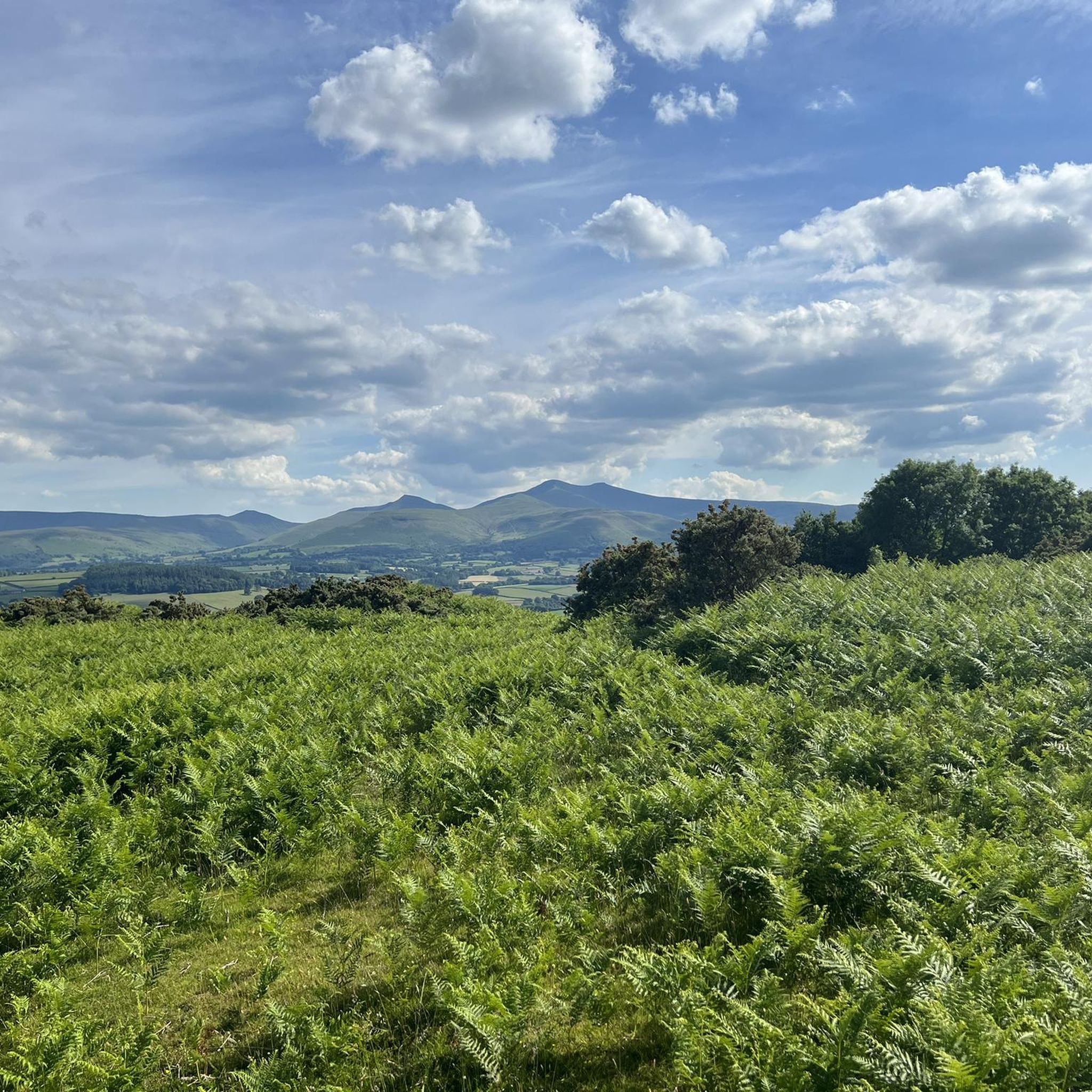
While cycling, you'll be in close proximity to the Bannau Brycheiniog National Park (Brecon Beacons). Iconic peaks like Pen y Fan and Corn Du summit offer stunning backdrops. You might also find viewpoints like Fan Frynych Trig Point. The Afon Ysgir (River Ysgir) and the larger River Usk also provide picturesque routes along their banks.
Are there any circular gravel bike routes near Yscir?
Many of the gravel routes in the Yscir area are designed as loops, allowing you to start and finish in the same location. Examples include the Talybont Reservoir – Monmouthshire and Brecon Canal loop from Brecon, a moderate 43.5 km path, and the longer Monmouthshire & Brecon Canal loop from Llanfrynach, which covers 62.7 km through the Usk Valley.
What is the best time of year to go gravel biking in Yscir?
The region's gravel roads are often described as rocky rather than muddy, which can make them suitable for year-round riding. However, for the most pleasant conditions, late spring to early autumn (May to October) generally offers milder weather and longer daylight hours, ideal for exploring the diverse landscapes of Powys and the Brecon Beacons.
Where can I find parking for gravel bike trails around Yscir?
While specific parking details for Yscir trails aren't always explicit, many routes, especially those starting from nearby towns like Brecon, will have designated parking areas. For example, routes like the Monmouthshire and Brecon Canal – Brynich Aqueduct loop from Brecon typically originate from locations with accessible parking for visitors.
Are there options for more experienced gravel bikers seeking a challenge?
Yes, experienced riders can find challenging routes with significant elevation gains. The Talybont Reservoir – Monmouthshire and Brecon Canal loop from Libanus is a difficult 87.0 km route with over 1290 meters of elevation gain, offering a substantial test for advanced gravel bikers. The wider Cambrian Mountains also feature challenging climbs and scenic descents through remote landscapes.
What do other cyclists say about gravel biking in Yscir?
The gravel biking routes around Yscir are highly rated by the komoot community, with an average score of 4.7 stars from more than 5 reviews. Cyclists often praise the varied terrain, the sense of solitude in the extensive countryside, and the beautiful scenery of the Brecon Beacons National Park and river valleys.
Are there any cafes or pubs near the gravel bike trails in Yscir?
While Yscir itself is a rural community, its proximity to towns like Brecon and villages along the canal routes means you can find amenities. Many routes pass through or near settlements where you can find cafes, pubs, and accommodation to refuel and relax after your ride. It's always a good idea to check opening times in advance.
How does Yscir connect to the wider Brecon Beacons or Cambrian Mountains for gravel biking?
Yscir serves as an excellent gateway to the expansive gravel biking landscapes of Powys, including the Brecon Beacons National Park and the Cambrian Mountains. Its strategic location provides access to a network of trails that extend into these larger regions, offering diverse terrain from ancient Roman roads to forest highways and open moorlands, allowing for longer, multi-day adventures.
Are there any historical sites along the gravel bike routes?
Yes, the region is rich in history. You might encounter ancient Roman roads, such as parts of the Sarn Helen network, which are now used as gravel tracks. Within Yscir itself, there are Scheduled prehistoric Monuments like Aberyscir Round Cairn and standing stones, which can add a cultural and historical dimension to your rides through the countryside.
Most popular routes around Yscir
Most popular attractions around Yscir

Get inspired with the komoot mobile app


Explore more
Browse the best Gravel rides in other regions.
