The 7 Most Amazing Peaks in Ravenna
Best mountain peaks in Ravenna are found within the broader Province of Ravenna, part of the Apennine Mountains in Italy's Emilia-Romagna region. This area features 70 named mountains, offering diverse landscapes from peaceful forests to rugged terrain. Visitors can explore a variety of peaks, including historical sites and natural viewpoints. The region provides numerous hiking opportunities for different skill levels.
Best mountain peaks in Ravenna
- The most popular mountain peaks is Monte Battaglia Castle Ruins, a castle that served…
Last updated: October 11, 2026
Camurani Peak Ridge
Highlight (Segment) • Trail
Translated by Google •
Tip by

Parco Regionale Vena del Gesso Romagnola
Highlight • Summit
Translated by Google •
Tip by

Sign up now to discover places like this
Get recommendations on the best single tracks, peaks, & plenty of other exciting outdoor places.
Monte Battaglia Castle Ruins
Highlight • Castle
Tip by

Crest of the Vena del Gesso Romagnola
Highlight (Segment) • Summit
Translated by Google •
Tip by

Rontana Cross
Highlight • Monument
Translated by Google •
Tip by

Monte Mauro Summit View
Highlight • Summit
Translated by Google •
Tip by

Monte Rinaldo Viewpoint
Highlight • Viewpoint
Translated by Google •
Tip by
View of Monte Volpe
Highlight • Viewpoint
Translated by Google •
Tip by

Monte Cece Summit and Commemorative Plaque
Highlight • Summit
Translated by Google •
Tip by
Ridge Trail on Monte Mauro
Highlight • Trail
Showing Translation
Tip by

Sign up for free to discover even more peaks in Ravenna.
Already have an account?
Start today with a free account
Your next adventure awaits.
Popular around Ravenna
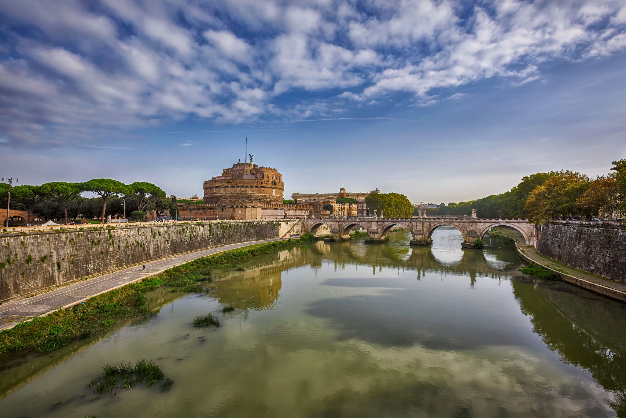
All roads lead to Rome – Romea Tiberina Cycleway
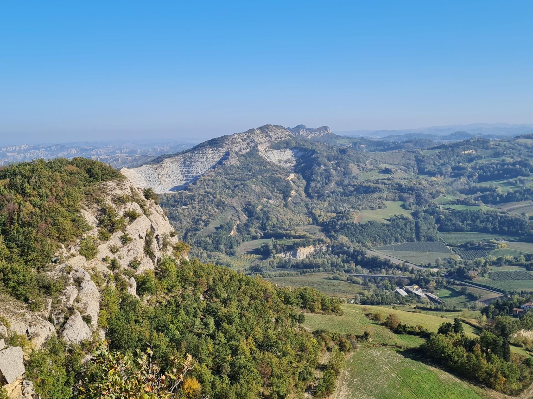
Lake Brasimone to Marradi – Alta Via dei Parchi (part 3)
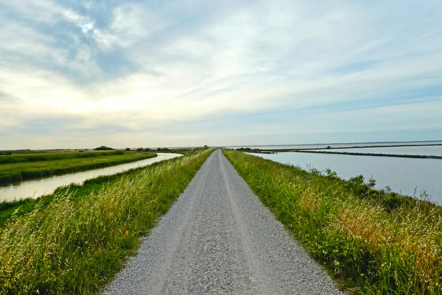
From Bologna to Rimini – the way of the sea
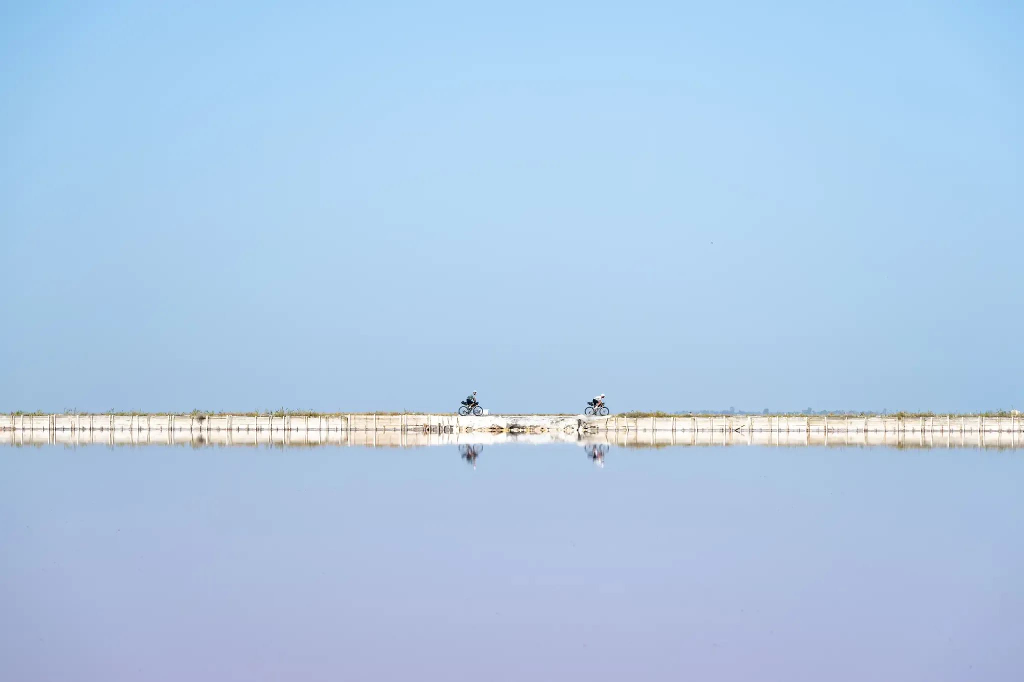
Trieste to Santa Maria di Leuca – the Adriatic Cycle Route
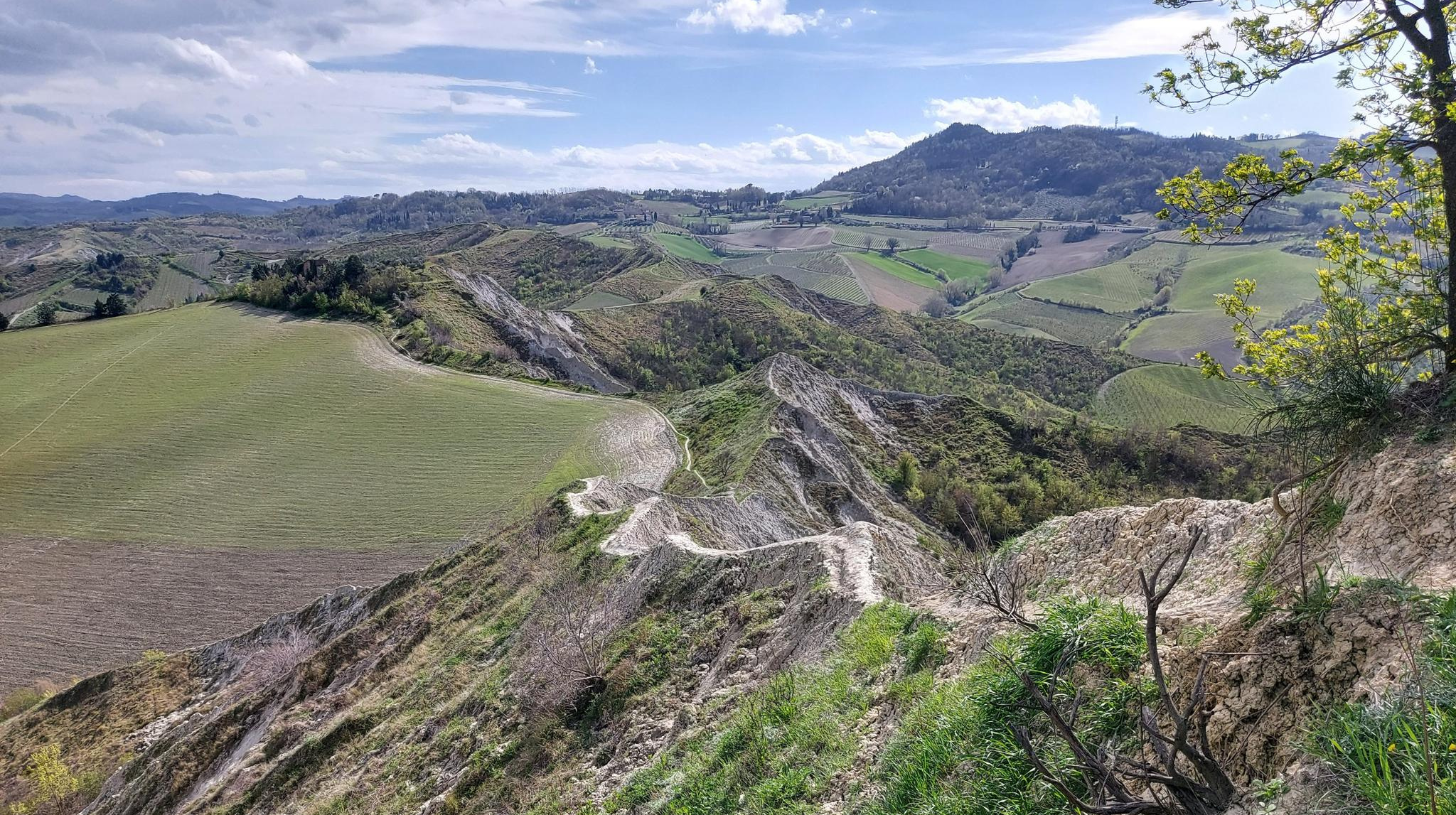
Walk from Bologna to Faenza – Via dei Gessi e dei Calanchi
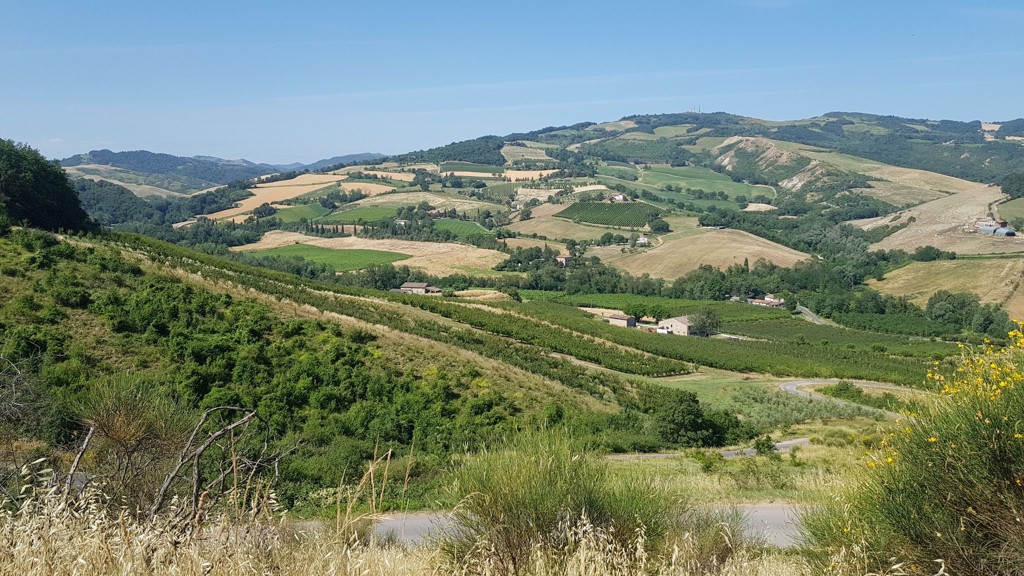
Preappennino 15K – a hilly crossing from Cattolica to Piacenza
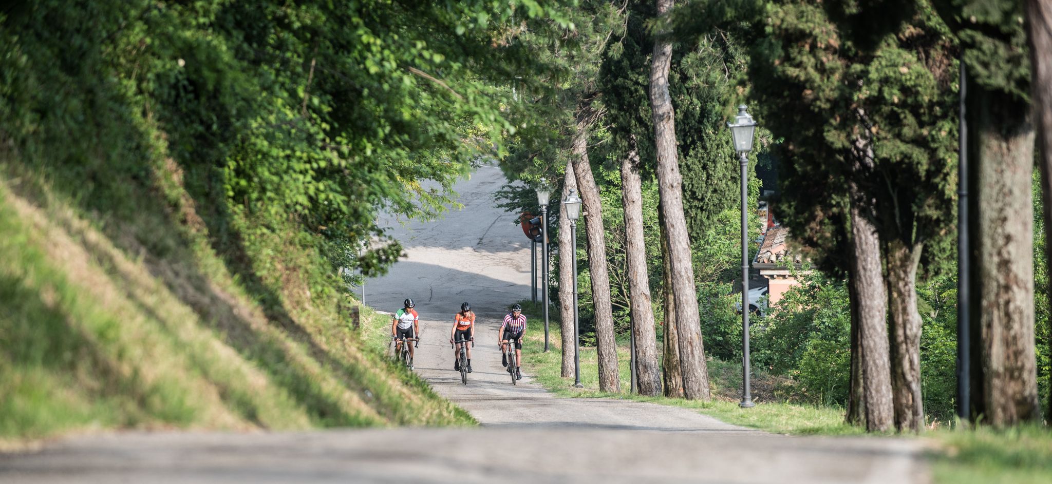
Enjoyment, culture and nature – cycling Tours in Italy’s Emilia Romagna region
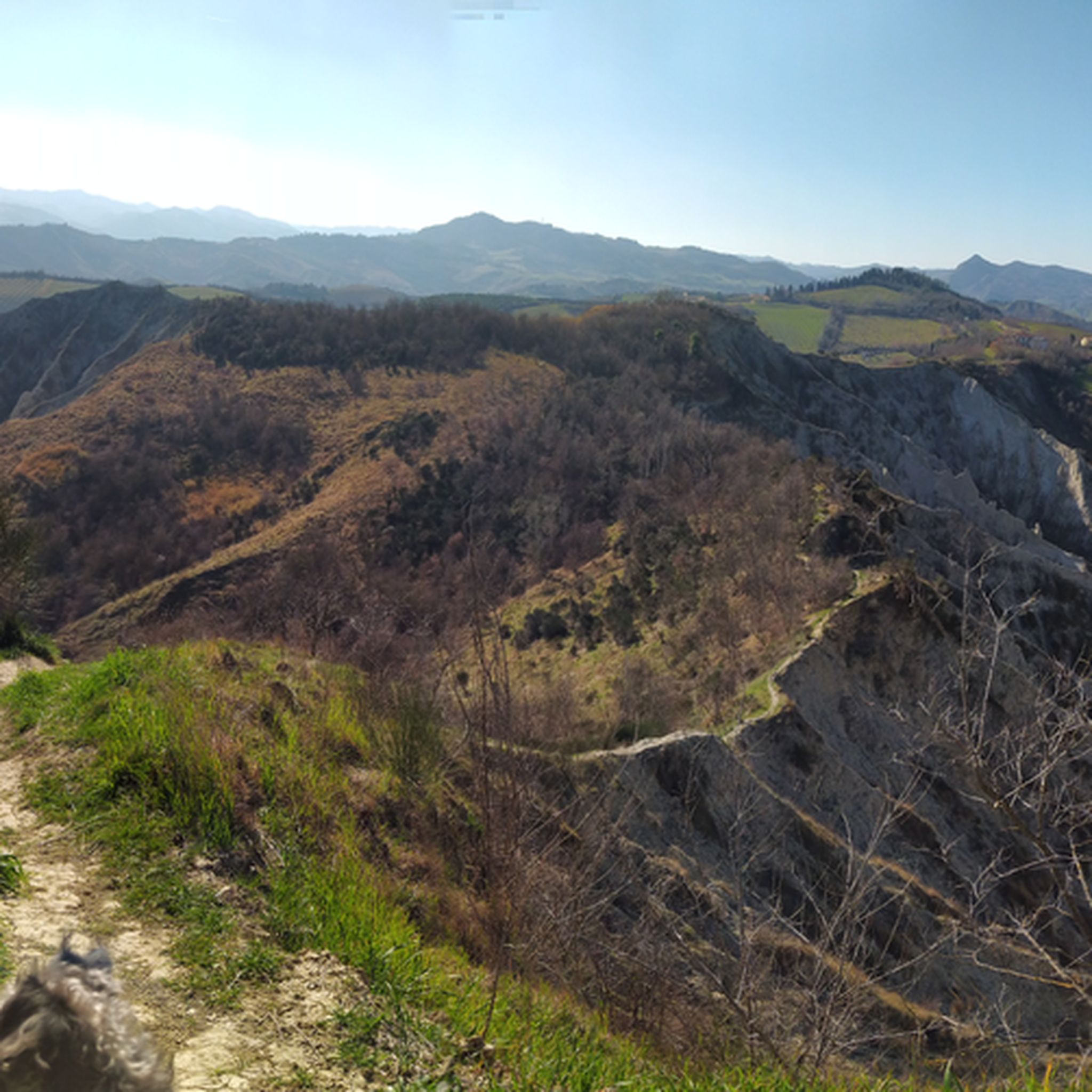
Hiking in Ravenna
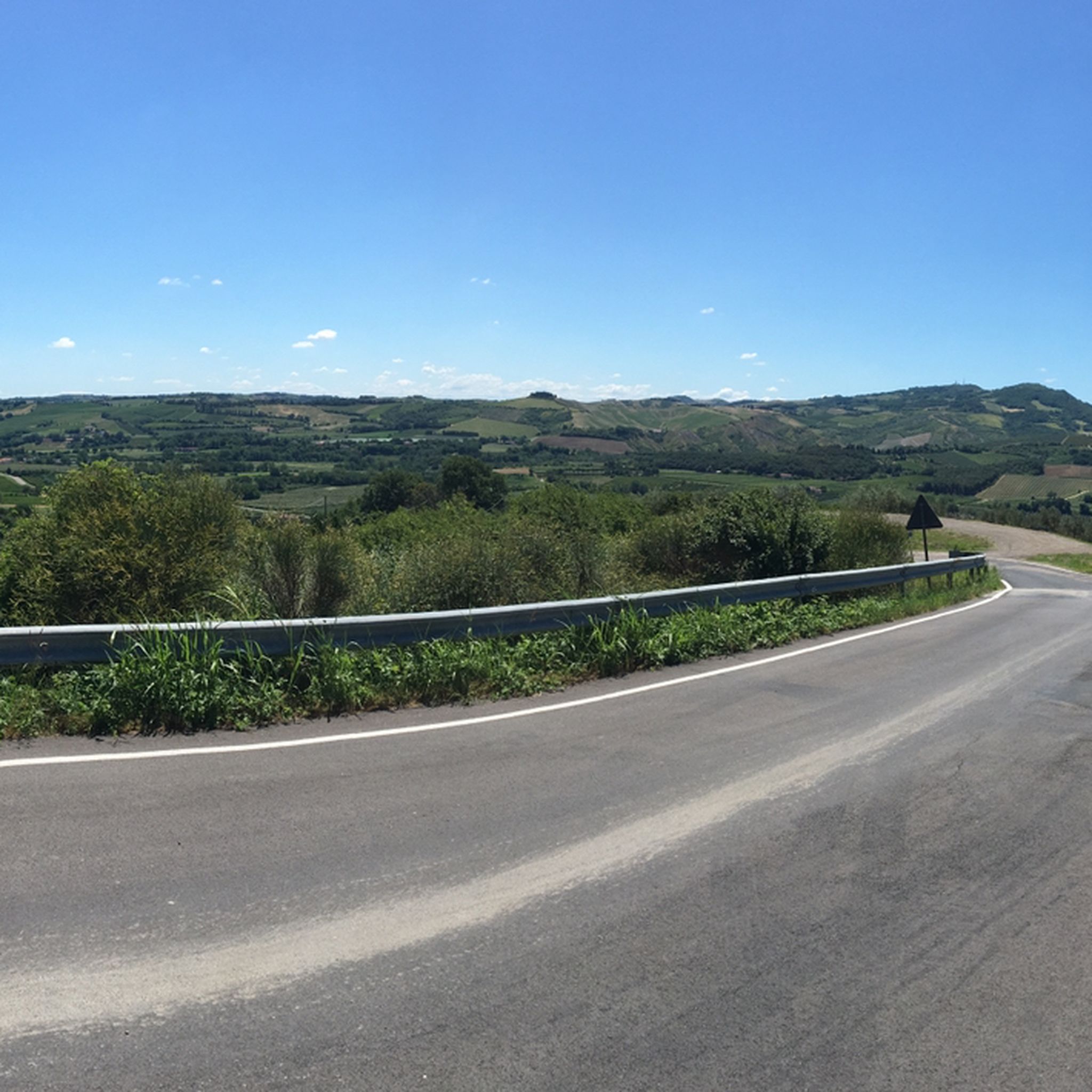
Road Cycling Routes in Ravenna
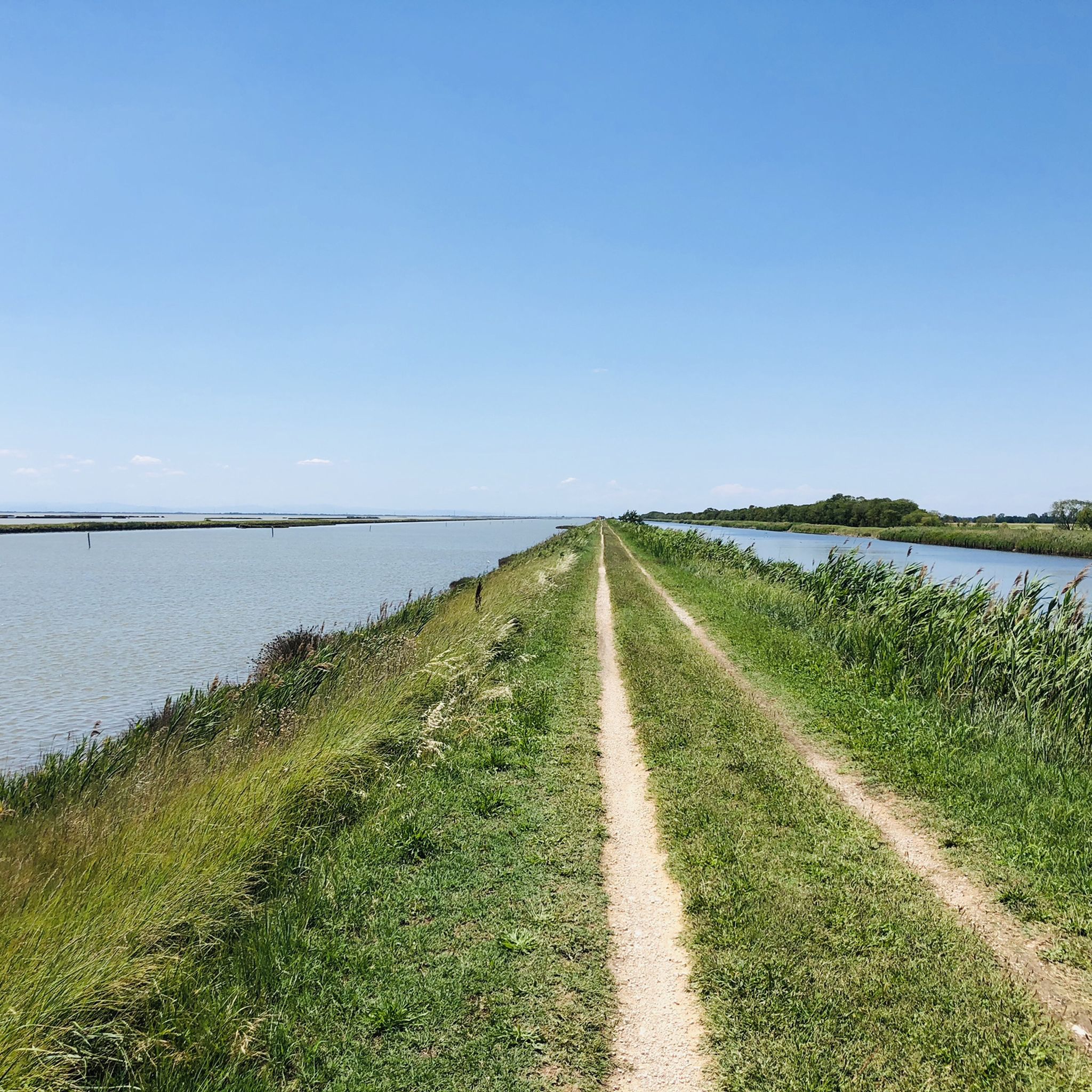
Cycling in Ravenna
Other adventures in Ravenna


Tips from the Community

The summit of Monte Mauro offers a 360-degree view and spectacular panoramas in good weather. At 515m above sea level, it is the highest peak in the Romagna Gesso valley and offers views towards both the Tuscan-Romagnan Apennines and the Ravenna plain (if you're lucky and there's little haze in good weather, you can even glimpse the sea). This summit can be reached in several ways: via the 511 trail, leaving the car after the first hairpin bends of the asphalt road that starts from the Zattaglia valley; this is certainly the most scenic route, involving the ascent of Monte Incisa through the woods and then staying at altitude on the south face of Monte Mauro, walking on sections of pure gypsum and in a rather exposed manner. Alternatively, take the "via Rio ferrato" road on the left just past Riolo Terme and shortly before Isola, driving to the end of the asphalted section (there is a car park), then ascend the north slope on a wide dirt road with gypsum present, until you reach the Eremo di Monte Mauro, a church about fifty meters below the summit; from there, the very last stretch is shared with the 511. It could also be reached from the northwest via the narrow "via Lame" road, which you take before Casola Valsenio, but the condition of the road itself makes this alternative less common.
0
0
final part to reach the summit of Monte Mauro, a path that is sometimes exposed overlooking the Zattaglia valley and the south slope of Monte Mauro. Well marked and maintained in excellent condition by the CAI of Lugo. If done in the rain, it can become more slippery and challenging, pay attention to the weather.
0
0

For those who are capable of doing impossible climbs
1
0

There are also dirt climbs and equally as many descents, steep and difficult sections (even 18%), very beautiful views and at the top there is the Hermitage.
1
0

Unfortunately, because of his olive trees and fenced-in chickens, the farmer has marked his property as private property with signs.
3
0

Monte Cece is a historically significant summit along the Gothic Line, the site of intense battles during World War II. Upon reaching the top, visitors are greeted by a commemorative plaque honoring the British soldiers who liberated this strategic position in October 1944. The trail leading to the summit is scenic, with steep but rewarding sections. ========= Monte Cece is a historically significant summit along the Gothic Line, the site of intense battles during World War II. Upon reaching the top, visitors are greeted by a commemorative plaque honoring the British soldiers who liberated this strategic position in October 1944. The trail leading to the summit is scenic, with steep but rewarding sections.
0
0

Frequently Asked Questions
What is the highest mountain peak in the Province of Ravenna?
The highest point in the Province of Ravenna is Monte Macchia dei Cani, standing at 968 meters (3,176 feet). While specific details are limited, its elevation suggests challenging hikes and expansive views of the Apennine landscape.
Are there mountain peaks in Ravenna with historical significance?
Yes, several peaks hold historical importance. Monte Cece Summit and Commemorative Plaque was a strategic point on the Gothic Line during World War II, with a plaque honoring British soldiers. Additionally, the Monte Battaglia Castle Ruins served as a significant battleground during the same conflict, offering a wonderful vantage point.
Which mountain peaks offer the best panoramic views in the Ravenna area?
For stunning panoramic views, consider Monte Volpe, known for its enchanting and spectacular vistas. The Camurani Peak Ridge offers superb views of the Lamone Valley and Riolo Terme. Monte Rinaldo Viewpoint also provides excellent views of the Po Valley, Monte Mauro, and the Croce di Rontana.
Are there any easily accessible mountain viewpoints for those seeking less strenuous efforts?
Yes, Monte Mauro is easily accessible. You can reach its summit within 5 minutes from the road below, making it a great option for impressive views without a demanding hike. It's located within the Vena del Gesso Romagnola Park.
What unique natural features can I explore among Ravenna's mountain peaks?
The Parco Regionale Vena del Gesso Romagnola is a UNESCO World Heritage site featuring a 25 km chain of chalky karst areas. These unique geological formations, formed from evaporated Mediterranean waters, offer extraordinary biological and archaeological value.
What kind of hiking experiences can I expect on the mountain peaks in Ravenna?
The region offers diverse hiking experiences. You can find challenging ridges like the Crest of the Vena del Gesso Romagnola, which requires sure-footedness, or more undulating paths with steep climbs and descents such as the Camurani Peak Ridge. The Apennine Mountains provide varied landscapes from peaceful forests to rugged terrain.
Are there family-friendly mountain hikes near Ravenna?
While specific trails are not explicitly labeled 'family-friendly' in the highlights, the easy accessibility of Monte Mauro suggests it could be suitable for families looking for impressive views with minimal effort. The Vena del Gesso Romagnola Park also offers pleasant hikes that might be suitable for various ages.
What is the best time of year to visit the mountain peaks in Ravenna?
The Apennine region near Ravenna offers diverse landscapes, making it suitable for hiking in various seasons. Spring and autumn generally provide pleasant temperatures for exploring. Summer can be warm but is still popular, while winter hiking conditions in the Apennines can vary and may require specific gear.
What outdoor activities can I do near these mountain peaks?
Beyond hiking, the area around Ravenna's mountain peaks offers various outdoor activities. You can find numerous running trails, such as the 'Pine Forest Path' or 'Lamone River Nature Trail'. For cycling enthusiasts, there are MTB trails like 'Eremo di Monte Mauro' and road cycling routes, including a 'Ring tour in the Regional Park Vena del Gesso Romagnola'. You can explore more options on the Running Trails in Ravenna, MTB Trails in Ravenna, and Road Cycling Routes in Ravenna guide pages.
What do visitors enjoy most about the mountain peaks in Ravenna?
Visitors frequently appreciate the stunning views, the historical significance of sites like Monte Battaglia Castle Ruins, and the unique geological formations of the Parco Regionale Vena del Gesso Romagnola. The diverse hiking opportunities, from challenging ridges to accessible viewpoints, are also highly valued by the komoot community.
Most popular routes in Ravenna
Most popular attractions in Ravenna

Get inspired with the komoot mobile app


Didn’t find what you were looking for?
Discover Ravenna’s best peaks and summits by region:
Explore more
See even more amazing summits in Ravenna with these guides:
