The best road cycling routes in Tervajänkkä
20
riders
1
ride
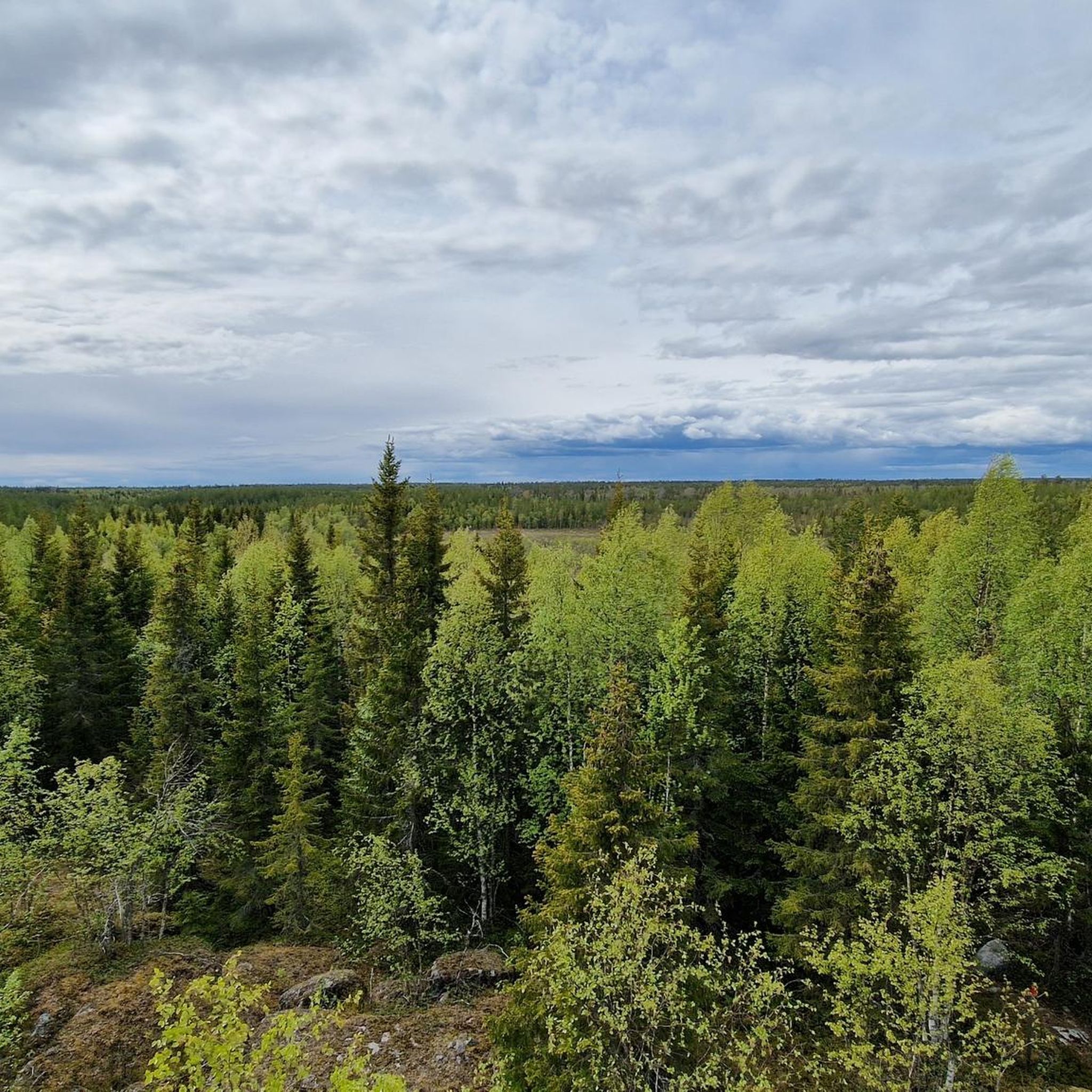
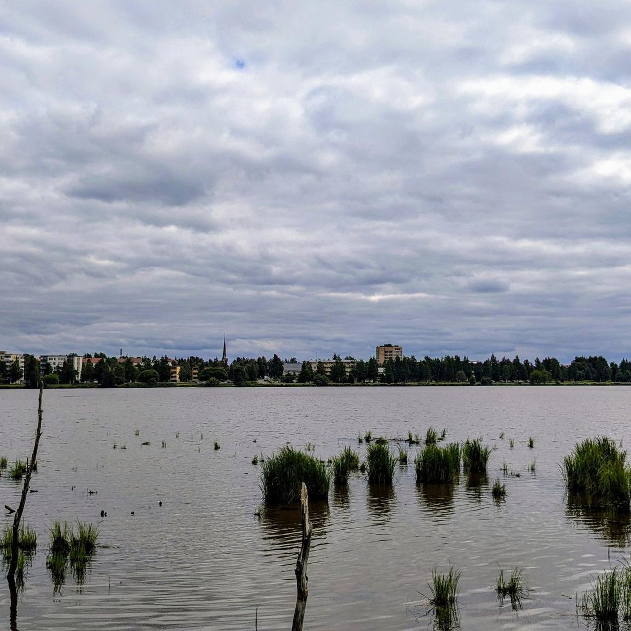
Road cycling routes in Tervajänkkä traverse a landscape characterized by its flat to gently rolling terrain, typical of the Norrbottens län region. The area features extensive forests and is often influenced by the proximity of the Torne River, which forms part of the border. Road cyclists can expect routes that offer open views of the countryside and occasional glimpses of waterways, with minimal significant elevation changes.
Best road cycling routes in Tervajänkkä
- The most popular road cycling route is Tornio loop from Haparanda, a 39.4 miles (63.4 km) trail that takes 2 hours 46 minutes to complete. This moderate route follows the Torne River, offering views of the border region.
- Another top favourite among local road cyclists is Tornio – Kukkolaforsen loop from Haparanda, a moderate 63.2 miles (101.8 km) path. This route offers views of the Torne River and its rapids.
- Local road cyclists also love the Ruonajärvi – Laattipuisto loop from Tornio, a 13.2 miles (21.3 km) trail leading through rural landscapes and past lakes, often completed in about 1 hour 1 minute.
- Road cycling in Tervajänkkä is defined by its flat terrain, forested areas, and river views. The network offers options for both easy and moderate ability levels.
- The guide includes highly-rated routes that showcase the best of the region's landscape. More than 19 road cyclists have used komoot to explore Tervajänkkä's varied terrain.
Last updated: July 4, 2026
5
riders
63.1km
02:45
190m
190m
Moderate road ride. Good fitness required. Some segments of this route may be unpaved and difficult to ride.
2
riders
102km
04:20
270m
270m
Moderate road ride. Good fitness required. Some segments of this route may be unpaved and difficult to ride.

Sign up for free
4
riders
21.3km
01:01
60m
60m
Moderate road ride. Great for any fitness level. Some segments of this route may be unpaved and difficult to ride.
Our route recommendations are based on thousands of hikes, rides, and runs completed by other people on komoot.
Start today with a free account
Your next adventure awaits.
Login or Signup
Popular around Tervajänkkä
Tips from the Community


Tornio is a town located in northern Finland, on the border with Sweden. It lies at the mouth of the Tornionjoki river, which forms the natural boundary between Finland and Sweden. Tornio has a rich cultural heritage and is known for its bilingual (Finnish and Swedish) population.
0
0

The Kemijoki was once a very salmon-rich river. The Sami have caught thousands of tons of salmon each season. Due to the many barrages, the salmon may have become rarer. There is a large fish ladder at the last dam wall before the mouth. In the summer of 2022, however, it was out of service. Obviously she needs(had) a reconstruction.
0
0
Frequently Asked Questions
What is the typical difficulty level of road cycling routes in Tervajänkkä?
Road cycling in Tervajänkkä generally features routes that are either easy or moderate. The terrain is predominantly flat to gently rolling, characteristic of the Norrbottens län region, meaning significant elevation changes are minimal. For example, the Pörhölänpudas loop from Tornio is an easy route, while the Tornio loop from Haparanda is considered moderate.
What are the typical distances for road cycling routes in Tervajänkkä?
Routes in Tervajänkkä vary in length, catering to different preferences. You can find shorter loops, such as the Tornio loop from Tornio, which is about 12.8 miles (20.5 km). Longer options include the Tornio loop from Haparanda, spanning 39.4 miles (63.4 km).
Is parking available near the road cycling routes in Tervajänkkä?
Given the rural nature of Tervajänkkä and its proximity to towns like Tornio and Haparanda, parking is generally available in or near these starting points. Cyclists often park in designated areas within the towns or at accessible points along the routes, especially where public roads intersect with the cycling paths.
Can I access road cycling routes in Tervajänkkä using public transport?
Access to Tervajänkkä's road cycling routes via public transport is possible, particularly if you start from larger towns like Tornio or Haparanda. These towns typically have bus connections that can bring you close to the beginning of various routes. However, direct public transport to every trailhead might be limited in this rural region.
When is the best time of year to go road cycling in Tervajänkkä?
The best time for road cycling in Tervajänkkä is typically during the warmer months, from late spring (May) through early autumn (September). During this period, the weather is milder, and the roads are clear of snow and ice, offering the most pleasant conditions for exploring the region's landscapes.
Are there any circular road cycling routes in Tervajänkkä?
Yes, Tervajänkkä offers several excellent circular road cycling routes. Examples include the Tornio loop from Haparanda and the Pörhölänpudas loop from Tornio. These loops allow you to start and end your ride in the same location, making logistics simpler.
What kind of scenery can I expect while road cycling in Tervajänkkä?
Road cycling in Tervajänkkä offers open views of the countryside, characterized by extensive forests and the significant presence of the Torne River. Many routes follow the river, providing scenic glimpses of the border region between Sweden and Finland. You'll experience a tranquil, natural landscape with minimal urban interruptions.
Are there any cafes or places to stop for refreshments along the road cycling routes?
While the routes themselves traverse rural landscapes, you'll find opportunities for refreshments in the towns and villages that the routes pass through or start from, such as Tornio and Haparanda. It's advisable to plan your stops in advance or carry sufficient supplies, especially on longer stretches between settlements.
What do other road cyclists enjoy the most about road cycling in Tervajänkkä?
Road cyclists often appreciate the peaceful, flat terrain and the scenic views of the Torne River and surrounding forests. The routes are known for their accessibility and the opportunity to experience the unique border region. Many enjoy the sense of tranquility and the open roads that Tervajänkkä provides for a relaxed cycling experience.
How many road cycling routes are available in Tervajänkkä?
There are several road cycling routes available in Tervajänkkä, with komoot featuring at least three highly-rated options. These routes showcase the best of the region's landscape and cater to various skill levels, from easy to moderate.
Are there any specific safety considerations for road cycling in Tervajänkkä?
When road cycling in Tervajänkkä, it's important to be aware of the rural environment. While traffic is generally light, always follow local traffic laws. Given the forested areas, be mindful of wildlife, especially during dawn and dusk. Ensure your bike is in good condition and carry essentials, as services might be sparse between towns.

Get inspired with the komoot mobile app


Explore more
Browse the best Road cycling routes in other regions.
