The best walks and hikes in Tervajänkkä
4.1
(10)
61
hikers
5
hikes
Hiking in Tervajänkkä, located in Norrbottens län, Sweden, offers routes through a landscape characterized by extensive mires and diverse forests. The area features wetlands, including the vast Juokhaisenjänkkä, alongside wooded sections with trees of various ages and dead wood. Trails often include plankways or boardwalks, providing access across wetter mire areas. Observation towers are present, offering elevated viewpoints over the landscape.
Best hiking trails in Tervajänkkä
- The most popular hiking route is Tornio Windmill – Kaupunginlahti Lakeside Path loop from…
Last updated: June 28, 2026
3.0
(1)
5
hikers
Easy hike. Great for any fitness level. Easily-accessible paths. Suitable for all skill levels.
4.0
(1)
5
hikers
Moderate hike. Good fitness required. Easily-accessible paths. Suitable for all skill levels.

Sign up for free
2
hikers
Easy hike. Great for any fitness level. Easily-accessible paths. Suitable for all skill levels.
1
hikers
4.17km
01:04
10m
10m
Easy hike. Great for any fitness level. Easily-accessible paths. Suitable for all skill levels.
1
hikers
5.63km
01:26
20m
20m
Easy hike. Great for any fitness level. Easily-accessible paths. Suitable for all skill levels.
Our route recommendations are based on thousands of hikes, rides, and runs completed by other people on komoot.
Start today with a free account
Your next adventure awaits.
Login or Signup
Popular around Tervajänkkä
Tips from the Community

Finland-Sweden border and monument to the 100th anniversary of Finland's independence
0
0
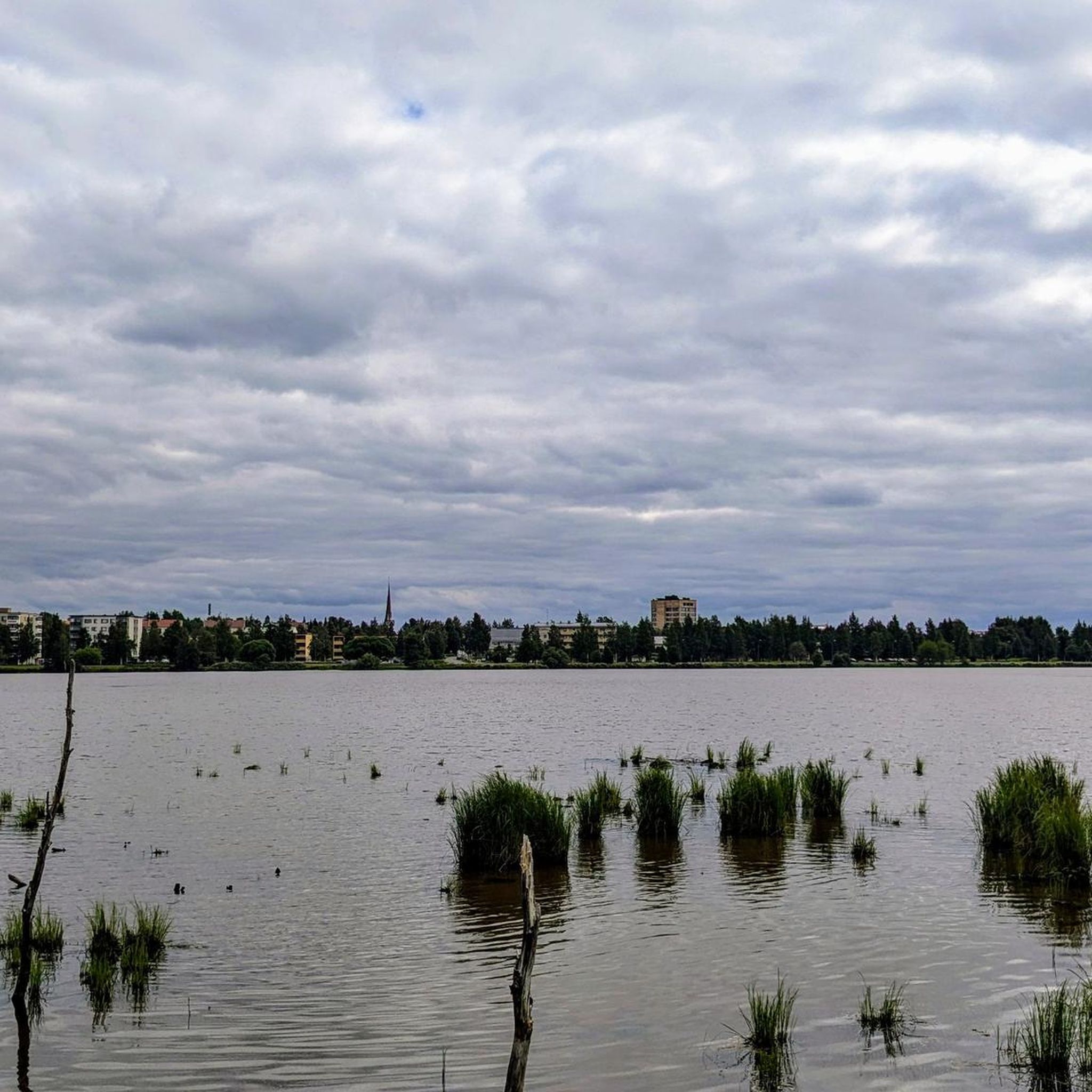
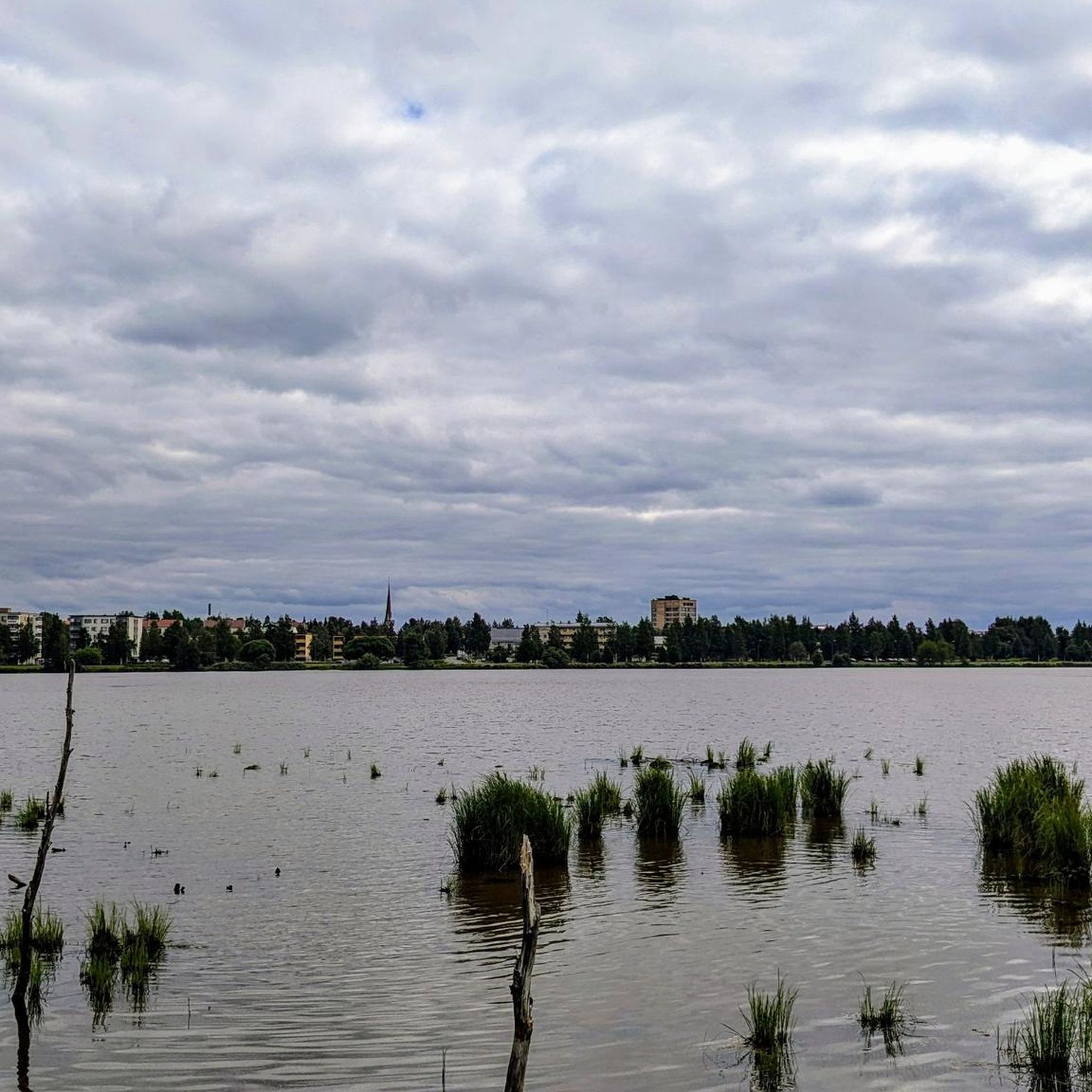
Lake between Finland and Sweden. Beautiful park path
0
0
Local brewery with internationally award-winning beers
0
0
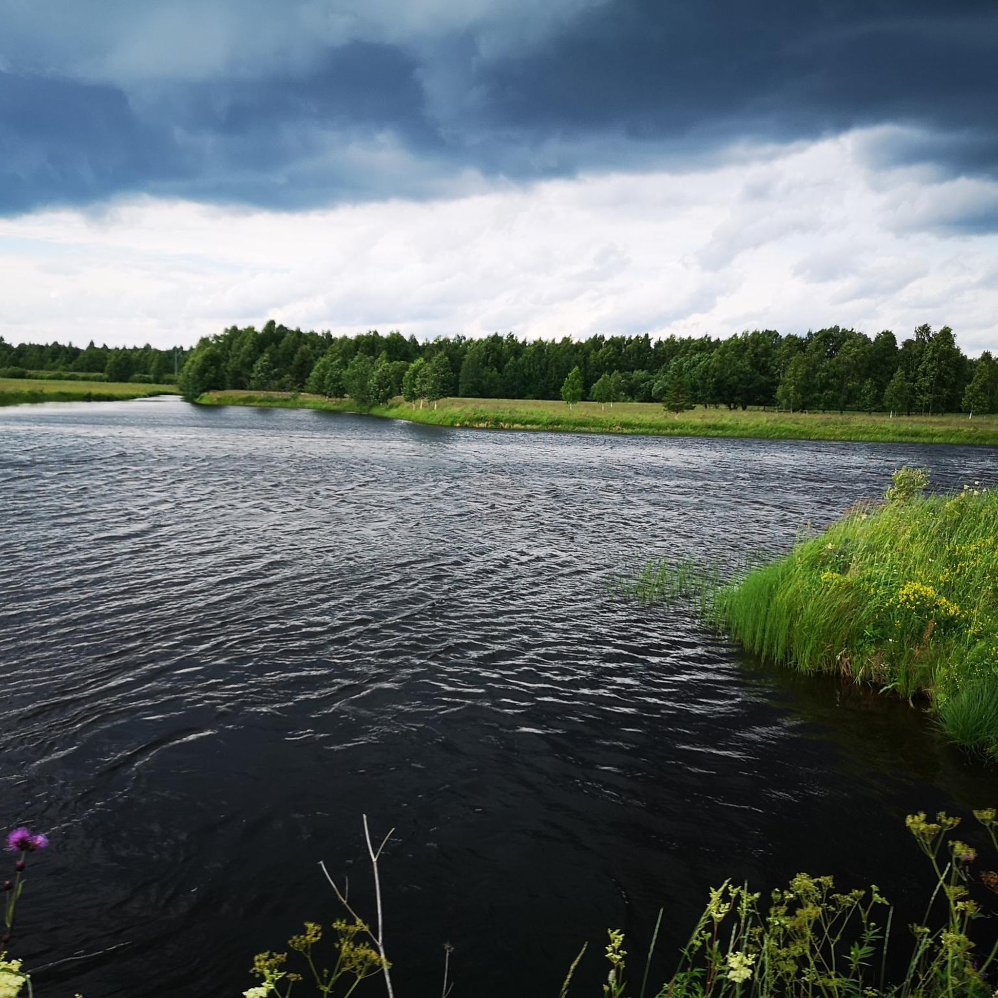
Beautiful view of the river near Tornio
0
0

Tornio is a town located in northern Finland, on the border with Sweden. It lies at the mouth of the Tornionjoki river, which forms the natural boundary between Finland and Sweden. Tornio has a rich cultural heritage and is known for its bilingual (Finnish and Swedish) population.
0
0

Haparanda Station is the last station in Sweden before the bridge to Finland. There has been no train service since the 1980s. In 2021, passenger service from Haparanda to Boden (Sweden) resumed, operating three times a day. The station fell into disrepair over the years and was then renovated in accordance with historical principles from 1919. The current station building is therefore well worth seeing. (March 2025)
0
0

Well worth a visit.
0
0

Unfortunately, there is no information about the windmill. But it looks beautiful and is worth a photo.
2
0
Frequently Asked Questions
What kind of landscape can I expect to see while hiking in Tervajänkkä?
Tervajänkkä is characterized by a unique blend of extensive mires and diverse forests. You'll encounter vast wetlands, including the notable Juokhaisenjänkkä, often called the 'singing swan mire,' alongside forested areas with trees of various ages. The interplay between these environments creates a mosaic-like landscape, offering varied scenery for hikers.
Are the hiking trails in Tervajänkkä suitable for families with children?
Yes, Tervajänkkä offers easily accessible paths suitable for various fitness levels, including families. Many trails feature plankways or boardwalks, making it easier to traverse wetter mire areas. An example of an easy, family-friendly route is the Tornio Windmill – Kaupunginlahti Lakeside Path loop from Suensaari, which is 5 km long.
Are there any circular hiking routes in Tervajänkkä?
Yes, many of the trails in Tervajänkkä are designed as loops, allowing you to start and end at the same point. For instance, the View of the Tornio River – Tornion Panimo Brewery Shop loop from Saarenpää is an easy 4.9 km circular route offering scenic views.
Can I bring my dog on the hiking trails in Tervajänkkä?
Tervajänkkä is a nature reserve, and generally, dogs are welcome on trails as long as they are kept on a leash to protect wildlife and other visitors. Always ensure to clean up after your pet. The accessible nature of the trails makes them suitable for walks with leashed dogs.
What are the best times of year to go hiking in Tervajänkkä?
The best time to visit Tervajänkkä for hiking is typically during the warmer months, from late spring to early autumn, when the trails are clear of snow and the mires are most accessible. During these seasons, you can fully appreciate the diverse flora and fauna. Appropriate footwear, such as boots, is recommended, especially when traversing plankways over mires.
Are there any observation points or viewpoints along the trails?
Yes, Tervajänkkä features observation towers, particularly near the 'singing swan mire' (Juokhaisenjänkkä). These towers provide excellent elevated vantage points for birdwatching and observing the expansive mire landscape. They enhance the experience by offering panoramic views of the reserve.
What kind of wildlife can I expect to see in Tervajänkkä?
The diverse mire and forest ecosystems of Tervajänkkä provide habitat for various species. The 'singing swan mire' is particularly known for birdwatching, especially for swans. The presence of dead wood in the forests also supports a rich biodiversity, so keep an eye out for different bird species and other small animals.
How do I get to the hiking trails in Tervajänkkä, and is there parking available?
Access to Tervajänkkä's trails is generally straightforward. While specific parking information for each trailhead isn't detailed, the area is known for accessible trails, often starting from gravel roads. For routes like the Kaupunginlahti Lakeside Path – Haparanda Railway Station loop from Haparanda, you can often find parking in nearby towns or designated areas.
Are there any moderate difficulty hikes in Tervajänkkä?
Yes, Tervajänkkä offers routes for various ability levels. For those looking for a slightly longer and more challenging walk, the Kaupunginlahti Lakeside Path – Haparanda Railway Station loop from Haparanda is a moderate 8.5 km path that connects lakeside areas with points of interest.
What do other hikers enjoy most about Tervajänkkä?
The area is highly rated by the komoot community, with an average score of 4.1 stars. Reviewers often praise the unique natural features, such as the extensive mires and the well-maintained plankways that make the trails accessible. The opportunities for birdwatching from observation towers are also frequently highlighted.
What should I wear or bring for a hike in Tervajänkkä?
Given the presence of mires and plankways, it is highly recommended to wear appropriate footwear, such as sturdy boots, to keep your feet dry and provide good support. Layers of clothing are also advisable, as weather conditions can change. Don't forget water, snacks, and binoculars for birdwatching from the observation towers.
Are there any historical or cultural points of interest near the hiking trails?
While Tervajänkkä itself is primarily a nature reserve, some routes connect to nearby towns with historical significance. For example, the World War II Memorial – Tornio Church loop from Suensaari offers a chance to explore historical landmarks in the vicinity of the trails.

Get inspired with the komoot mobile app


Explore more
Browse the best Hikes in other regions.
