Easy hikes and walks around Avranches
4.5
(4461)
38,821
hikers
598
hikes
Easy hiking trails around Avranches traverse a varied landscape, offering views of the Mont Saint-Michel Bay and the Couesnon River. The region features coastal paths, saltmarshes, and gentle routes through forests and meadows. Avranches is situated on a hill, providing panoramic viewpoints over the bay and surrounding natural features. The terrain is generally accessible, making it suitable for easy walks.
Best easy hiking trails around Avranches
- The most popular easy hiking route is Customs Officers' Path to Mont Saint-Michel,…
Last updated: October 10, 2026
4.7
(654)
9,243
hikers
7.07km
01:49
30m
30m
This easy 4.4-mile (7.1 km) hike on the Customs Officers' Path leads to Mont Saint-Michel, offering coastal views and historical insights.
4.7
(86)
424
hikers
6.71km
01:51
110m
110m
Hike the easy 4.2-mile Vallée du Lude et Cabane Vauban loop near Carolles, offering coastal views and historical sites in about 1 hour 50 mi

4.5
(20)
114
hikers
4.92km
01:17
30m
30m
Easy hike. Great for any fitness level. Easily-accessible paths. Suitable for all skill levels.
5.0
(1)
8
hikers
4.19km
01:10
80m
80m
Hike the easy 2.6-mile Crests and Monuments of Mortain Trail, exploring historical sites and enjoying views from Saint Michael's Chapel.
4.7
(10)
840
hikers
Easy hike. Great for any fitness level. Easily-accessible paths. Suitable for all skill levels.
4.7
(63)
658
hikers
Easy hike. Great for any fitness level. Easily-accessible paths. Suitable for all skill levels.
4.4
(12)
243
hikers
Easy hike. Great for any fitness level. Easily-accessible paths. Suitable for all skill levels.
4.6
(19)
226
hikers
Easy hike. Great for any fitness level. Easily-accessible paths. Suitable for all skill levels.
4.6
(36)
527
hikers
Easy hike. Great for any fitness level. Easily-accessible paths. Suitable for all skill levels.
4.7
(9)
583
hikers
Easy hike. Great for any fitness level. Easily-accessible paths. Suitable for all skill levels.
Get access to more routes and recommendations from other explorers.
Already have an account?
Our route recommendations are based on thousands of hikes, rides, and runs completed by other people on komoot.
Start today with a free account
Your next adventure awaits.
Popular around Avranches
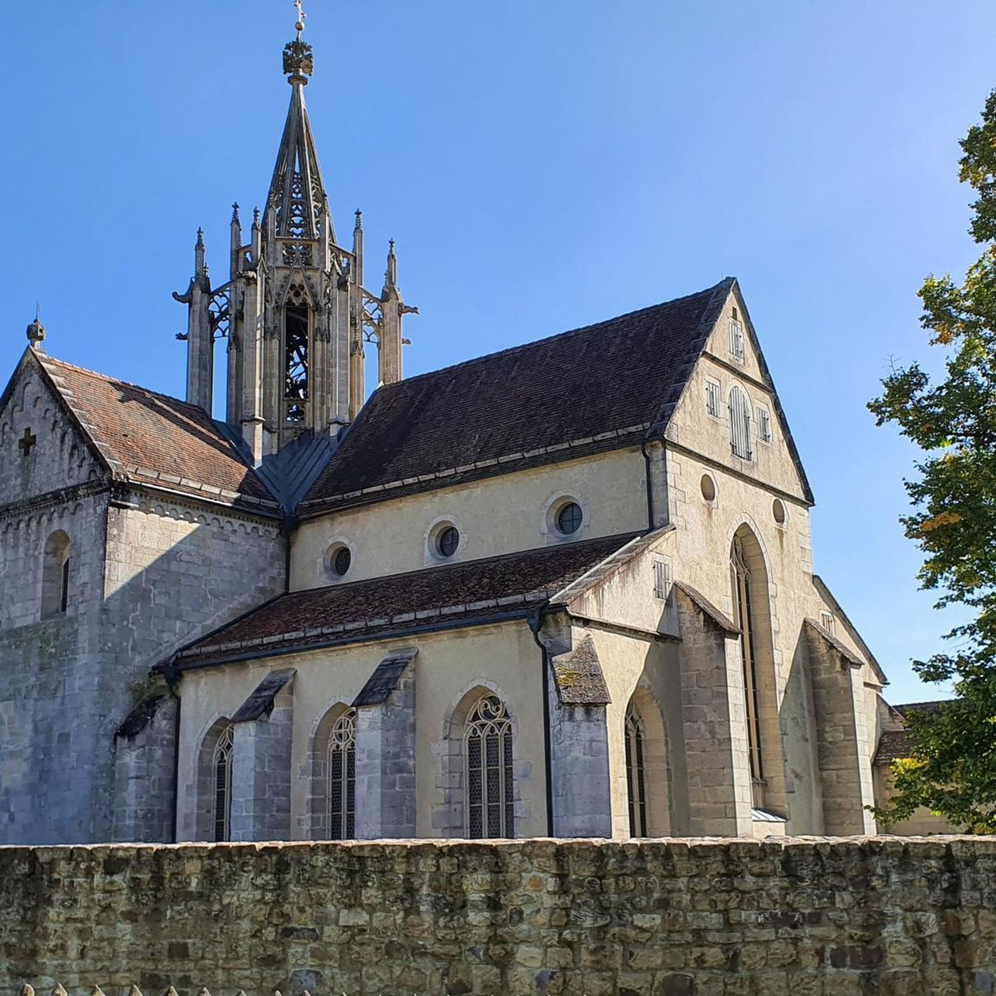
Easy hikes around Barrage De Vezins
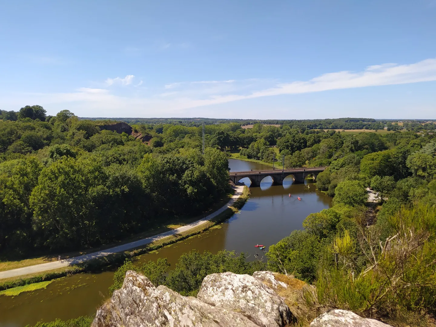
The GR 39 — On the historical traces of Brittany
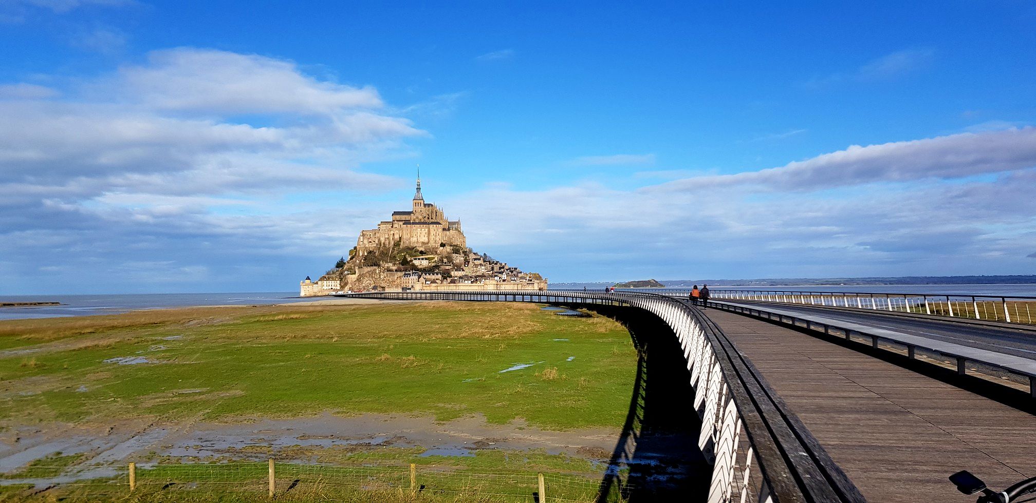
GR 22 to Mont-Saint-Michel – Miquelot's Walk
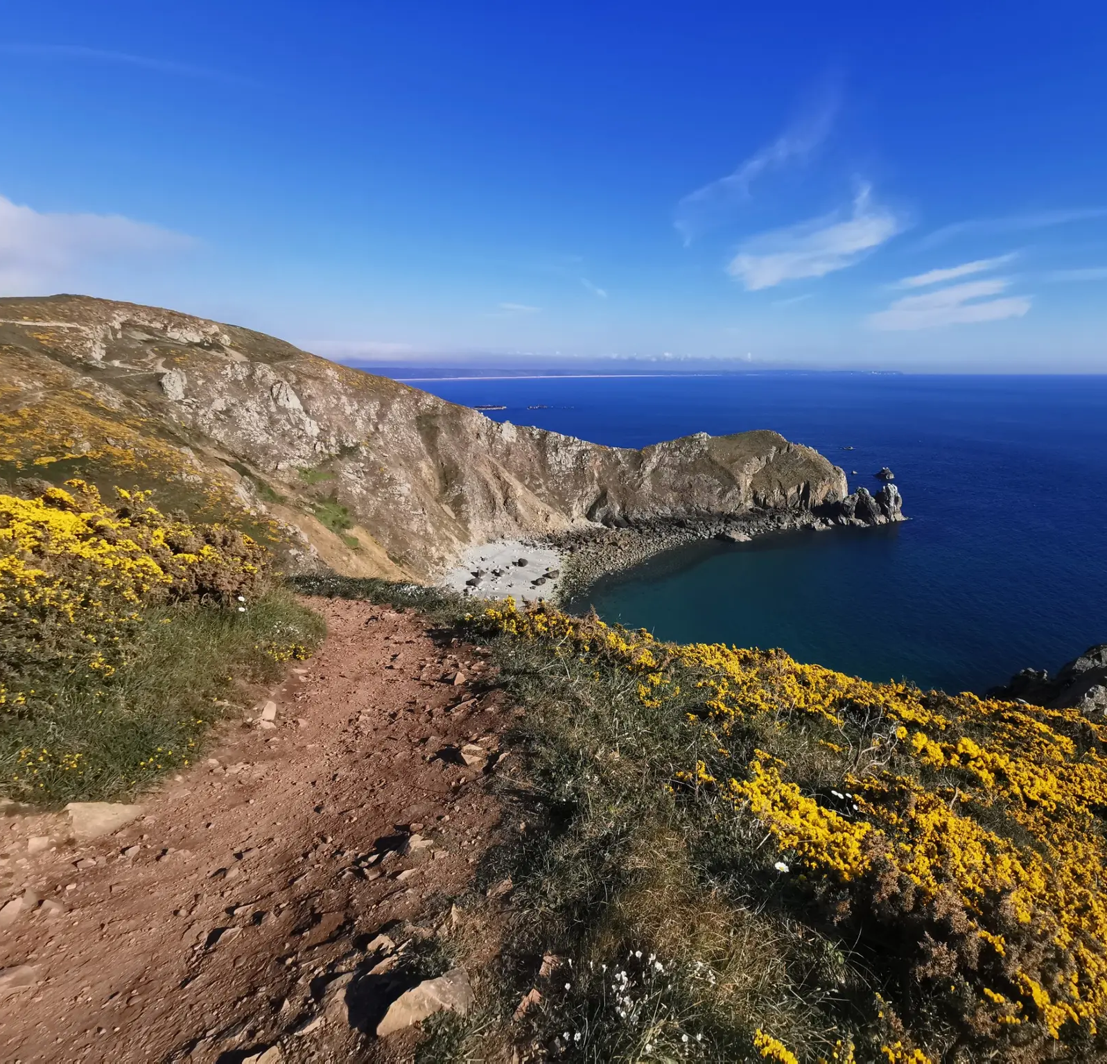
Hike from Cotentin to Mont-Saint-Michel in Normandy – GR 223 (part two)
The Customs Officers’ Path – GR 34 between Saint-Malo and Pontorson
History and gastronomy - La Régalante
From Paris to Mont-Saint-Michel — La Véloscénie
Sun cream and waterproof coats – 11 days in Brittany
From pink granite to the Opal Coast — cycle France’s la Vélomaritime
Coastlines of the English Channel — Tour de Manche
Other adventures around Avranches


Tips from the Community

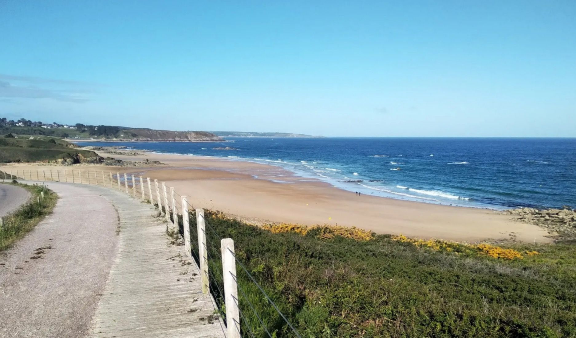
This walk, with sea views from the top of the cliffs, is simply magnificent. The cliff-edge path is quite steep in places. The loop also goes through the woods, along the stream.
1
0

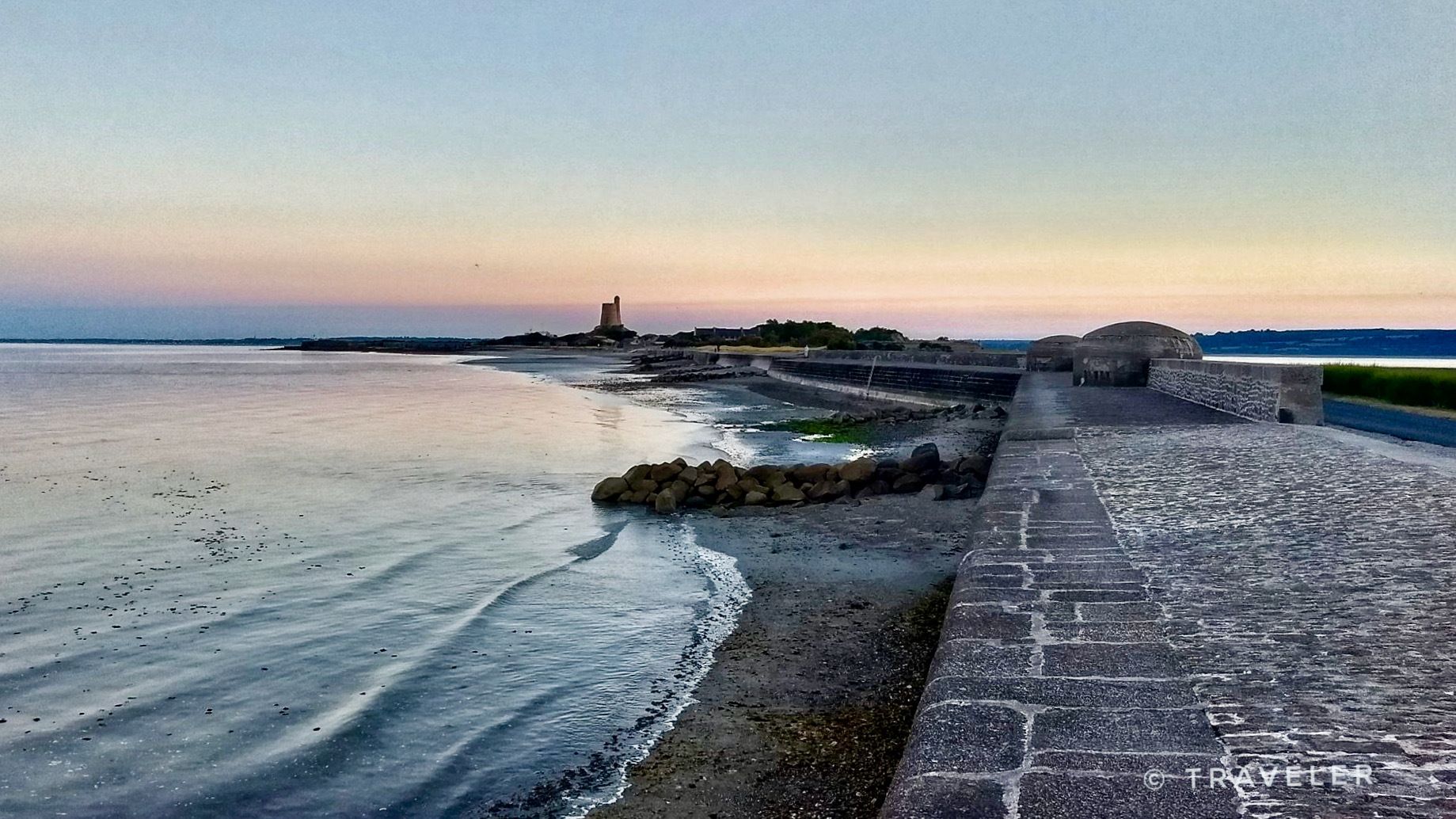
Heavily trodden and driven road embankment leading to Mont-Saint-Michel along the salt marshes. A little caution with heavy traffic and you will arrive at the Mont with good impressions.
4
0
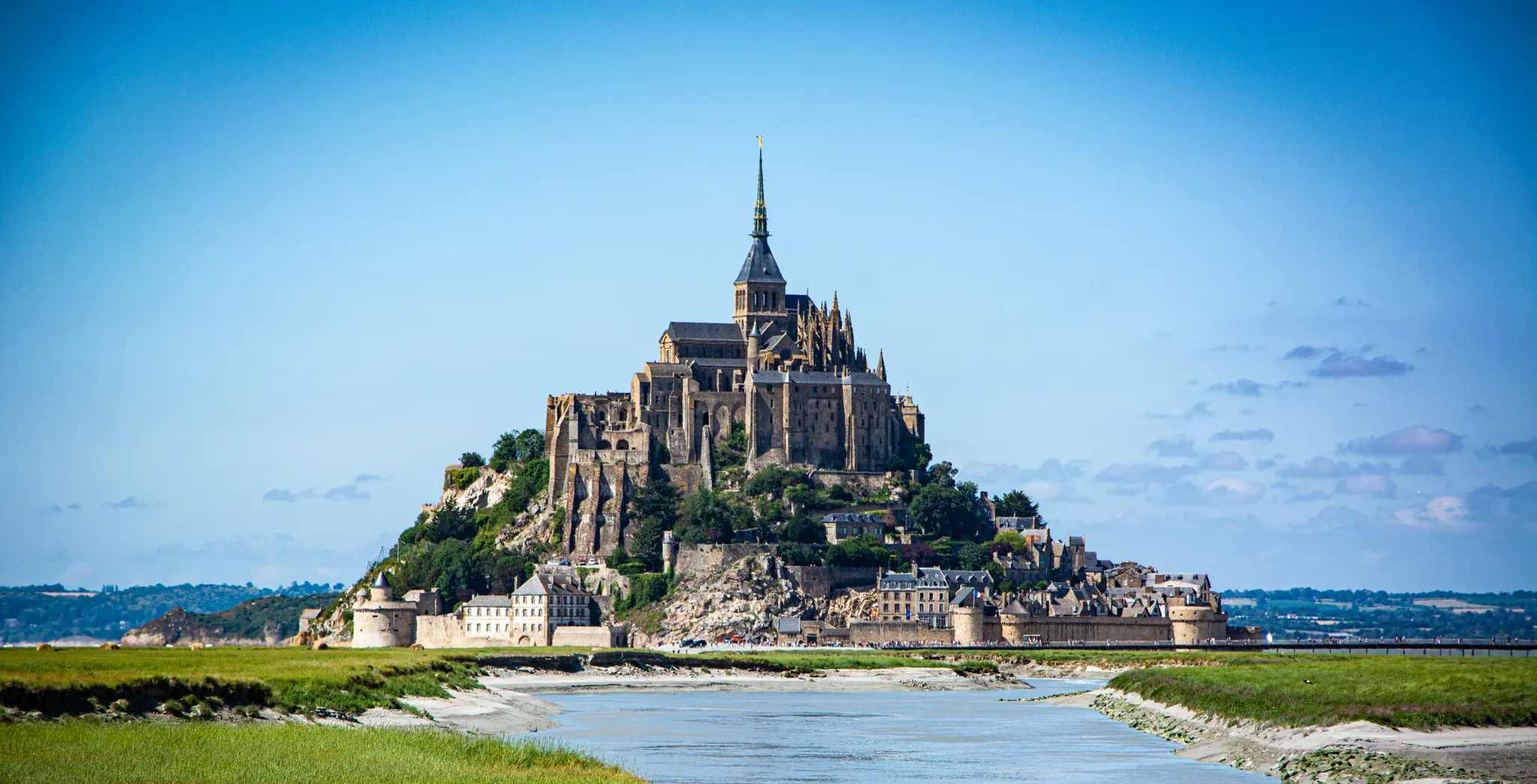
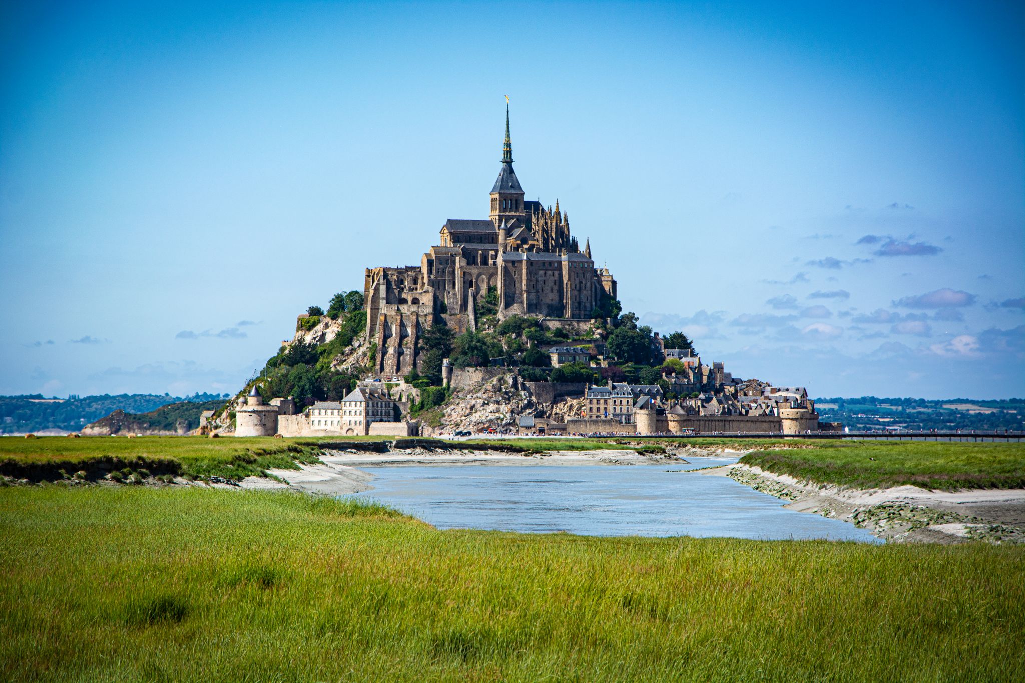
Mont-Saint-Michel is a world-famous rocky island and commune on the border between Normandy and Brittany in France. Crowned by a monumental, medieval Benedictine abbey, this architectural marvel has been a UNESCO World Heritage site since 1979. The bay of the mount is also known for Europe's strongest tides, with a tidal range of up to 14 meters.
2
0

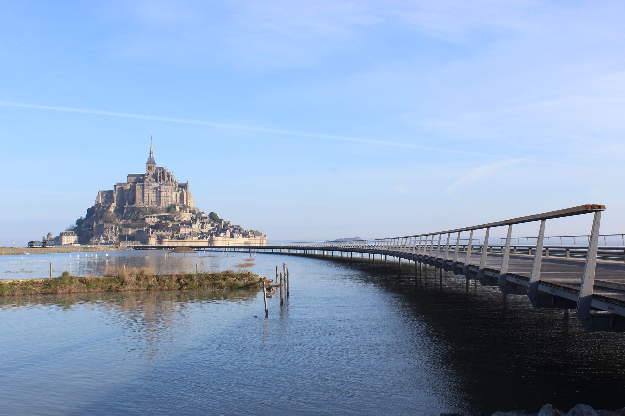
The access bridge to Mont-Saint-Michel was opened in 2014, replacing the former road causeway that had impaired the natural movement of water and sediment in the bay. Built on stilts, the bridge allows for better exchange of tidal currents and helps to preserve the character of Mont-Saint-Michel as a tidal island. On the way to the island, there are wide views over the bay and an impressive sight of the abbey.
10
0
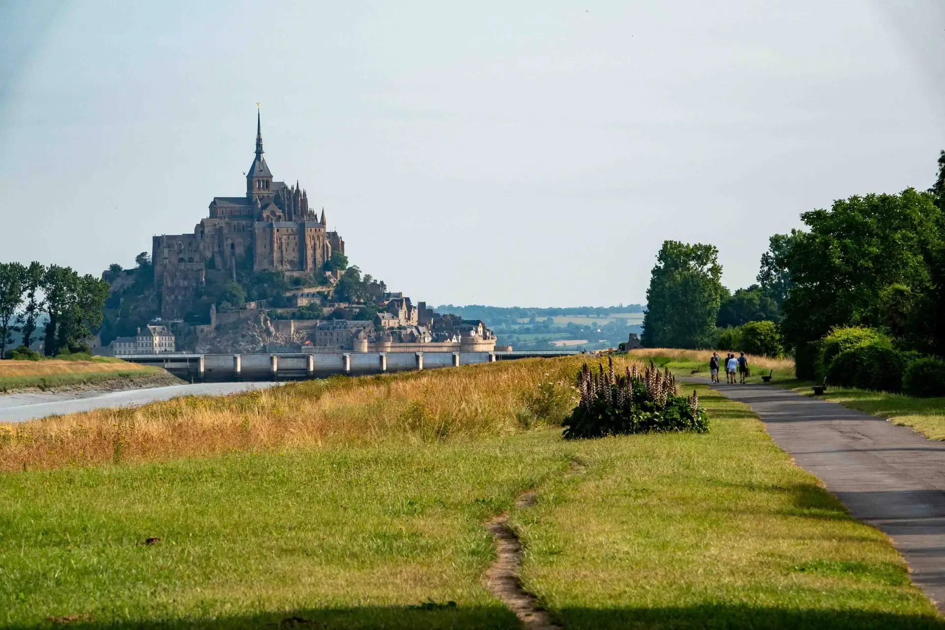
The footpath along the Couesnon to the dam already offers an impressive view of Mont-Saint-Michel. From here, the path with an unobstructed view leads across the salt marshes and the bay, with the landmark of Normandy impressively rising against the wide landscape. Especially in calm weather and with changing light, atmospheric views emerge of Mont-Saint-Michel, the course of the Couesnon river, and the tide-shaped surroundings.
13
0
The Couesnon dam (Barrage du Couesnon) was completed in 2009 and is part of the measures to preserve the bay of Mont-Saint-Michel. The facility regulates the water flow of the Couesnon and supports the natural removal of sediments by the tides. This is intended to counteract the increasing silting up of the bay and preserve the special character of Mont-Saint-Michel as a tidal island. The dam also offers a popular viewpoint with a view of Mont-Saint-Michel and the surrounding salt marshes.
3
0
The Vallée du Lude near Carolles is a protected coastal valley. A small stream winds its way through the green valley, eventually flowing into the English Channel at an idyllic pebble bay. The hiking trail leads through a varied landscape with steep cliffs, dense vegetation, and beautiful views of the coast – a peaceful natural spot that can be ideally combined with the Zöllnerpfad along the cliffs.
29
0
The weir on the river **Couesnon** in front of Mont-Saint-Michel is part of a major project to restore its original island character. It regulates the flow of the Couesnon and helps transport sediment deposited in the bay back out to sea. At the same time, the structure is a popular promenade and viewpoint with an impressive view of Mont-Saint-Michel and the tide-shaped landscape.
37
0
Frequently Asked Questions
How many easy hiking trails are there around Avranches?
There are over 340 easy hiking trails around Avranches. The region offers a diverse range of routes, from coastal paths with views of Mont Saint-Michel Bay to gentle strolls through forests and meadows.
What kind of terrain can I expect on easy hikes in Avranches?
Easy hikes around Avranches feature varied terrain, including coastal paths, riverbanks along the Couesnon River, and expansive saltmarshes. You'll also find routes through forests and meadows, with generally accessible paths and gentle elevation changes, making them suitable for relaxed walks.
What do other hikers say about the easy trails in Avranches?
The easy trails in Avranches are highly rated by the komoot community, with an average score of 4.5 stars from over 3,200 reviews. Hikers often praise the stunning views of Mont Saint-Michel, the well-maintained paths, and the peaceful natural surroundings.
Are there any easy circular walks in Avranches?
Yes, many easy trails around Avranches are circular. For example, the Lude Valley and Vauban Hut Loop from Carolles is an easy 4.2-mile (6.7 km) path that takes you through the Lude Valley and past a historical Vauban hut. Another option is the L'Ile de Chausey (La Grande Ile) — loop, a 3.1-mile (4.9 km) trail through island landscapes.
Which easy trails offer views of Mont Saint-Michel?
Many easy trails provide spectacular views of Mont Saint-Michel. The Customs Officers' Path to Mont Saint-Michel is a popular 4.4-mile (7.1 km) route offering captivating coastal views towards the iconic site. The Jardin des Plantes in Avranches also provides superb panoramic views of the Bay of Mont Saint-Michel.
Are the easy hiking trails around Avranches suitable for families?
Yes, the easy hiking trails around Avranches are generally very suitable for families. The gentle terrain and shorter distances of many routes make them ideal for all ages. The region's focus on easy and family-friendly excursions ensures a pleasant experience for everyone.
Can I bring my dog on easy hikes in Avranches?
Many easy trails around Avranches are dog-friendly, especially those in natural areas like forests, meadows, and coastal paths. However, it's always recommended to keep your dog on a leash, especially in protected areas or near livestock, and to check local regulations for specific routes or attractions.
What natural features can I explore on easy hikes near Avranches?
Easy hikes near Avranches allow you to explore the dramatic Mont Saint-Michel Bay, the scenic Couesnon River, and expansive saltmarshes. Coastal vantage points like La Pointe du Grouin du Sud and Le Gué de l'Épine offer stunning views of the bay and its unique ecosystem. You can also visit the Couesnon at Beauvoir.
Are there any historical landmarks or points of interest along easy trails?
Yes, several historical landmarks are accessible via easy trails. The Customs Officers' Path offers historical insights as it leads towards Mont Saint-Michel. The Lude Valley and Vauban Hut Loop from Carolles features a historical Vauban hut, part of a 17th-century network of watchtowers. You can also explore the Château d'Avranches.
What is the best time of year for easy hiking in Avranches?
The spring and autumn months are generally ideal for easy hiking in Avranches, offering pleasant temperatures and beautiful scenery. Spring brings blooming gardens and mild weather, while autumn showcases vibrant foliage. Summer is also popular, but trails can be busier, especially near Mont Saint-Michel. Winter walks are possible, but check weather conditions as coastal areas can be exposed.
Are there options for shorter, easy walks for beginners?
Absolutely. Many easy trails around Avranches are relatively short, making them perfect for beginners or those looking for a quick stroll. Routes like the L'Ile de Chausey (La Grande Ile) — loop, at 3.1 miles (4.9 km), are ideal for shorter excursions. Avranches itself also offers varied circular 'City Walks' to explore its history on foot.
Is public transport available to access easy hiking trails around Avranches?
While some trails might be accessible via local bus services, public transport options can be limited for reaching all trailheads directly. It's advisable to check local bus schedules for routes connecting Avranches to nearby towns or popular starting points. Many visitors opt for personal vehicles to access the wider network of trails.
Where can I find parking for easy hikes around Avranches?
Parking is generally available near popular trailheads and attractions around Avranches. For routes leading to Mont Saint-Michel, designated parking areas are provided. For trails starting in smaller towns or villages, you can often find street parking or small public car parks. Always check for specific parking information for your chosen route beforehand.
Most popular routes around Avranches
Most popular attractions around Avranches

Get inspired with the komoot mobile app


Didn’t find what you were looking for?
Check out more Hikes throughout Avranches below and find the perfect route in your destination.
Explore more
Browse the best Hikes in other regions.
