The best walks and hikes around Avranches
4.5
(4461)
38,821
hikers
598
hikes
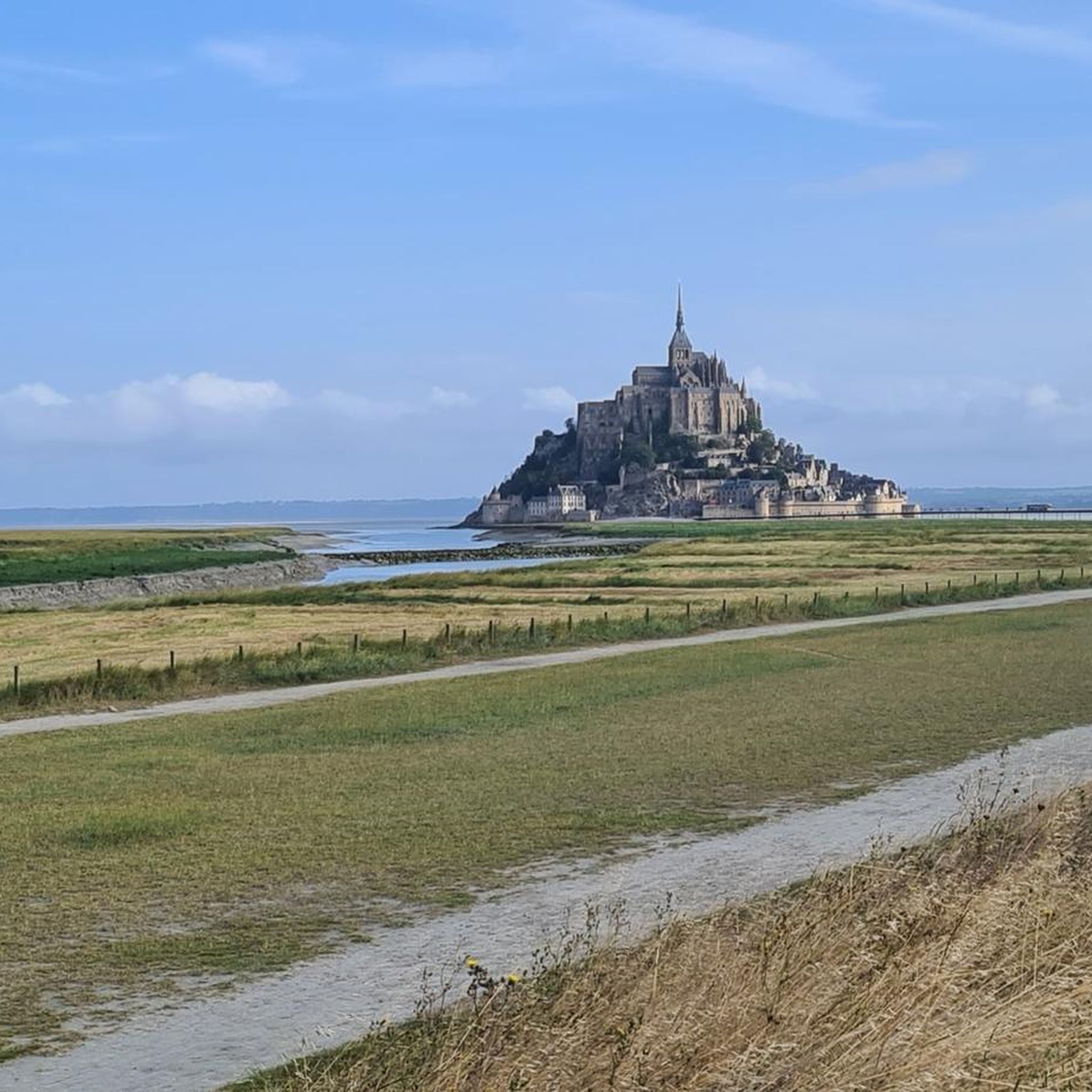
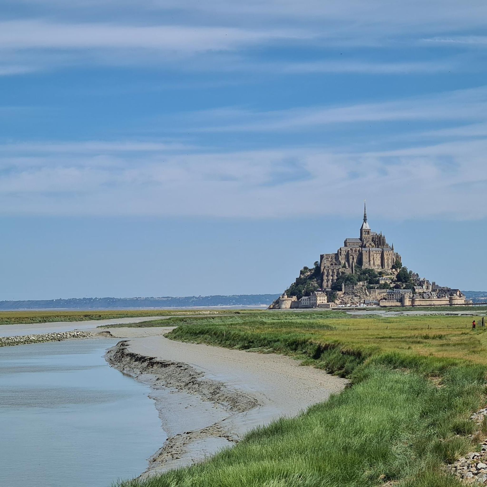
Hiking trails around Avranches offer diverse landscapes, primarily defined by its location overlooking the Bay of Mont Saint-Michel. The region features extensive coastal paths, including sections of the historic Customs Officers' Path, and inland areas characterized by traditional bocage landscapes. Rivers such as the Sée and Sélune traverse the area, creating valleys like the Lude Valley, while natural lookouts like Pointe du Grouin du Sud provide views of the bay.
Best hiking trails around Avranches
- The most popular hiking route…
Last updated: October 10, 2026
4.7
(649)
9,169
hikers
7.07km
01:49
30m
30m
Easy hike. Great for any fitness level. Easily-accessible paths. Suitable for all skill levels.
4.7
(86)
424
hikers
6.71km
01:51
110m
110m
Easy hike. Great for any fitness level. Easily-accessible paths. Suitable for all skill levels.

4.7
(55)
268
hikers
11.5km
02:57
50m
50m
Moderate hike. Good fitness required. Mostly accessible paths. Sure-footedness required.
4.2
(37)
130
hikers
5.28km
01:29
110m
110m
Moderate hike. Great for any fitness level. Mostly accessible paths. Sure-footedness required.
4.5
(20)
113
hikers
4.92km
01:17
30m
30m
Easy hike. Great for any fitness level. Easily-accessible paths. Suitable for all skill levels.
4.4
(18)
64
hikers
8.64km
02:21
130m
130m
Moderate hike. Good fitness required. Easily-accessible paths. Suitable for all skill levels.
4.2
(18)
69
hikers
Moderate hike. Good fitness required. Easily-accessible paths. Suitable for all skill levels.
4.8
(172)
1,445
hikers
Moderate hike. Good fitness required. Easily-accessible paths. Suitable for all skill levels.
4.7
(182)
1,426
hikers
10.8km
02:44
20m
20m
Moderate hike. Good fitness required. Easily-accessible paths. Suitable for all skill levels.
5.0
(1)
8
hikers
4.19km
01:10
80m
80m
Easy hike. Great for any fitness level. Easily-accessible paths. Suitable for all skill levels.
Get access to more routes and recommendations from other explorers.
Already have an account?
Our route recommendations are based on thousands of hikes, rides, and runs completed by other people on komoot.
Start today with a free account
Your next adventure awaits.
Other adventures around Avranches


Tips from the Community

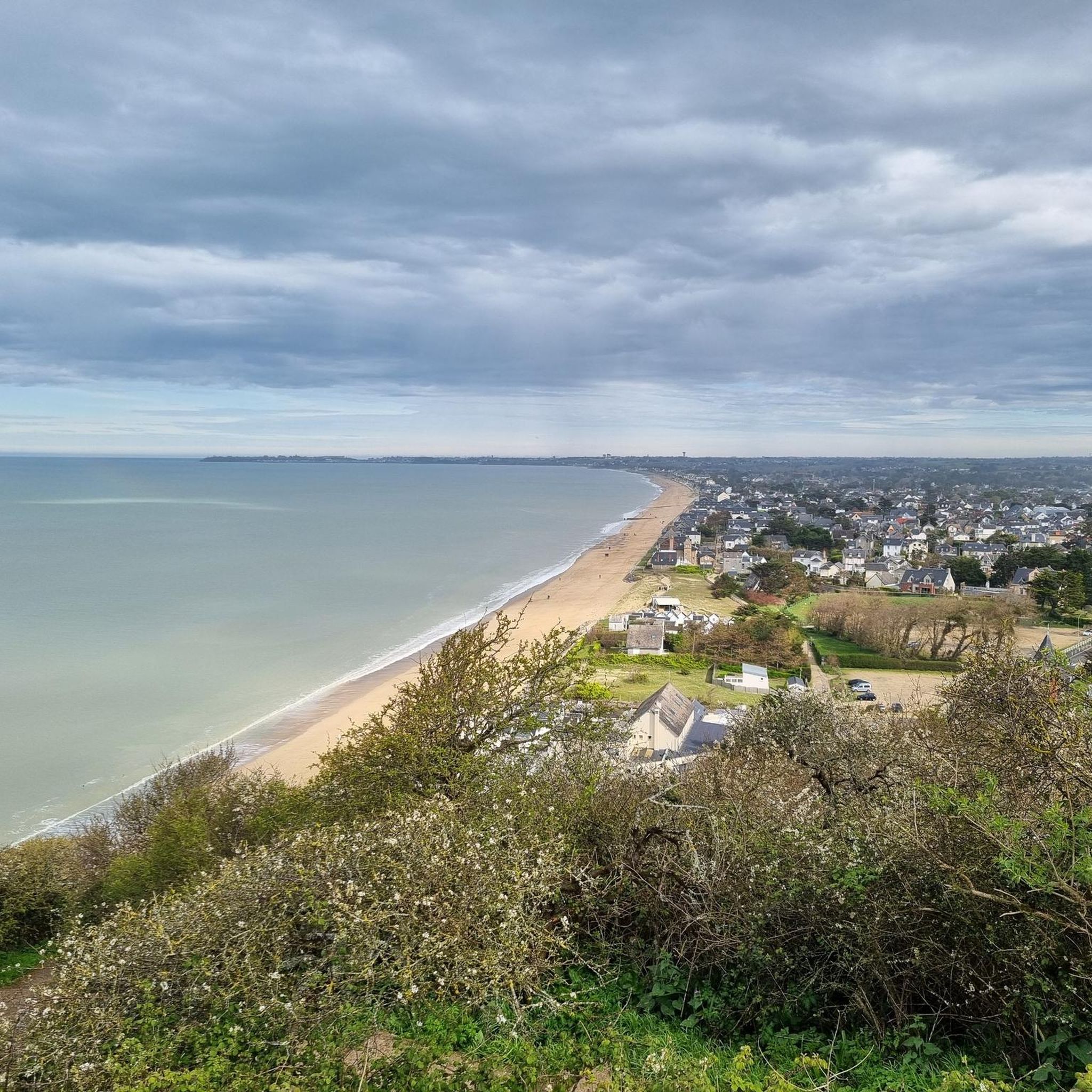
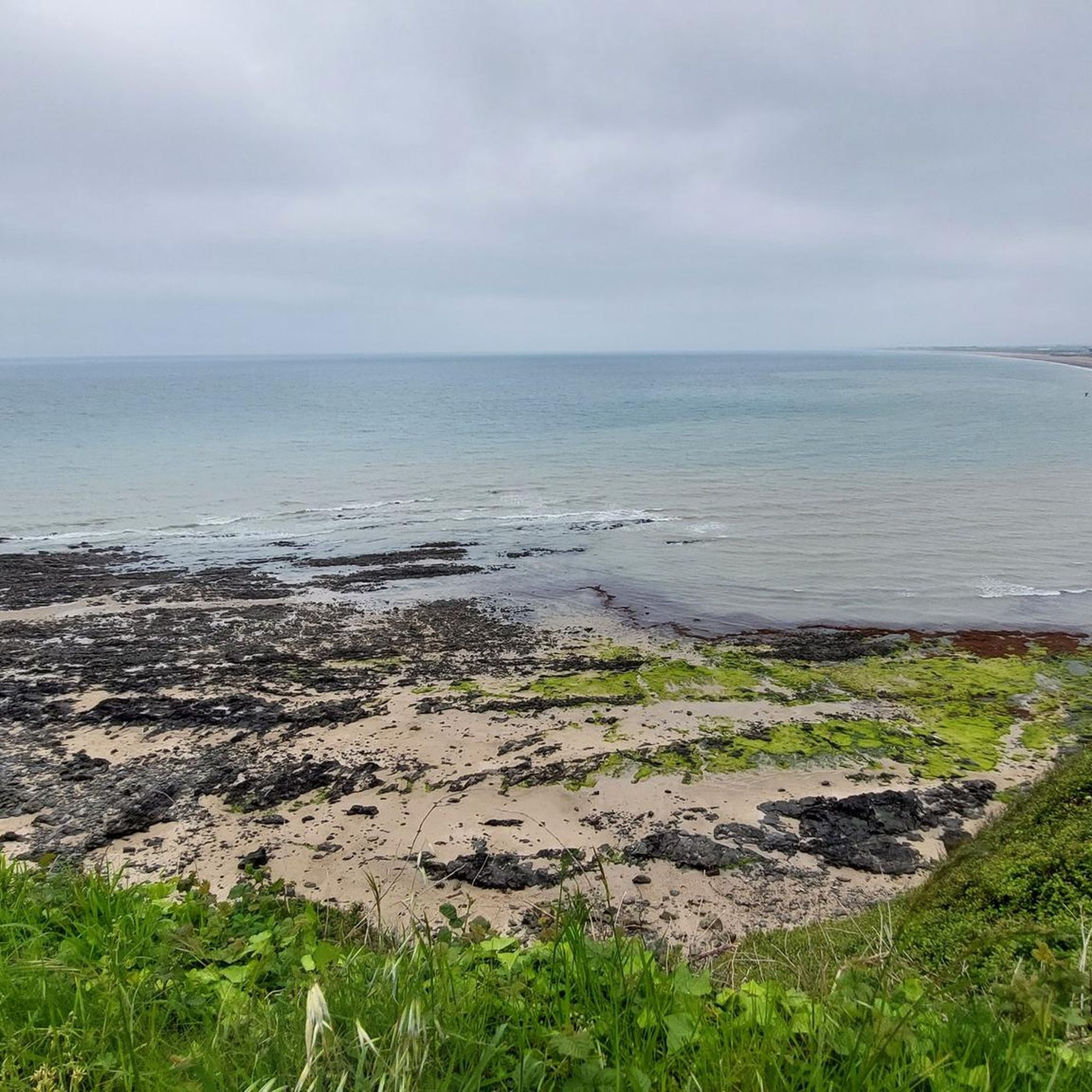
This walk, with sea views from the top of the cliffs, is simply magnificent. The cliff-edge path is quite steep in places. The loop also goes through the woods, along the stream.
1
0

The Vallée du Lude near Carolles is a protected coastal valley. A small stream winds its way through the green valley, eventually flowing into the English Channel at an idyllic pebble bay. The hiking trail leads through a varied landscape with steep cliffs, dense vegetation, and beautiful views of the coast – a peaceful natural spot that can be ideally combined with the Zöllnerpfad along the cliffs.
29
0
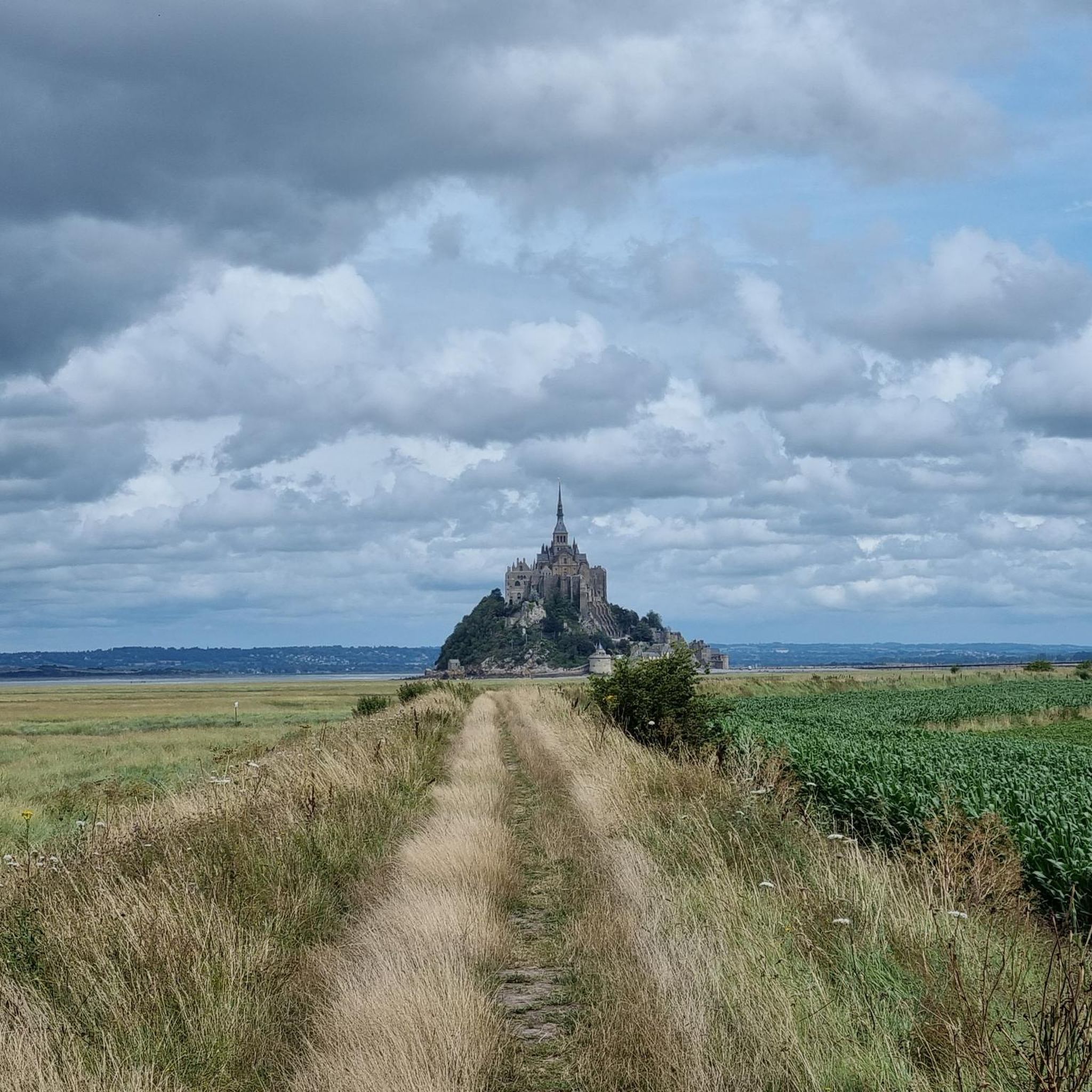
The weir on the river **Couesnon** in front of Mont-Saint-Michel is part of a major project to restore its original island character. It regulates the flow of the Couesnon and helps transport sediment deposited in the bay back out to sea. At the same time, the structure is a popular promenade and viewpoint with an impressive view of Mont-Saint-Michel and the tide-shaped landscape.
37
0

Practical for going to Pontorson station
0
0


Arrive there quite early in the morning, then you will avoid the biggest crowds
1
0

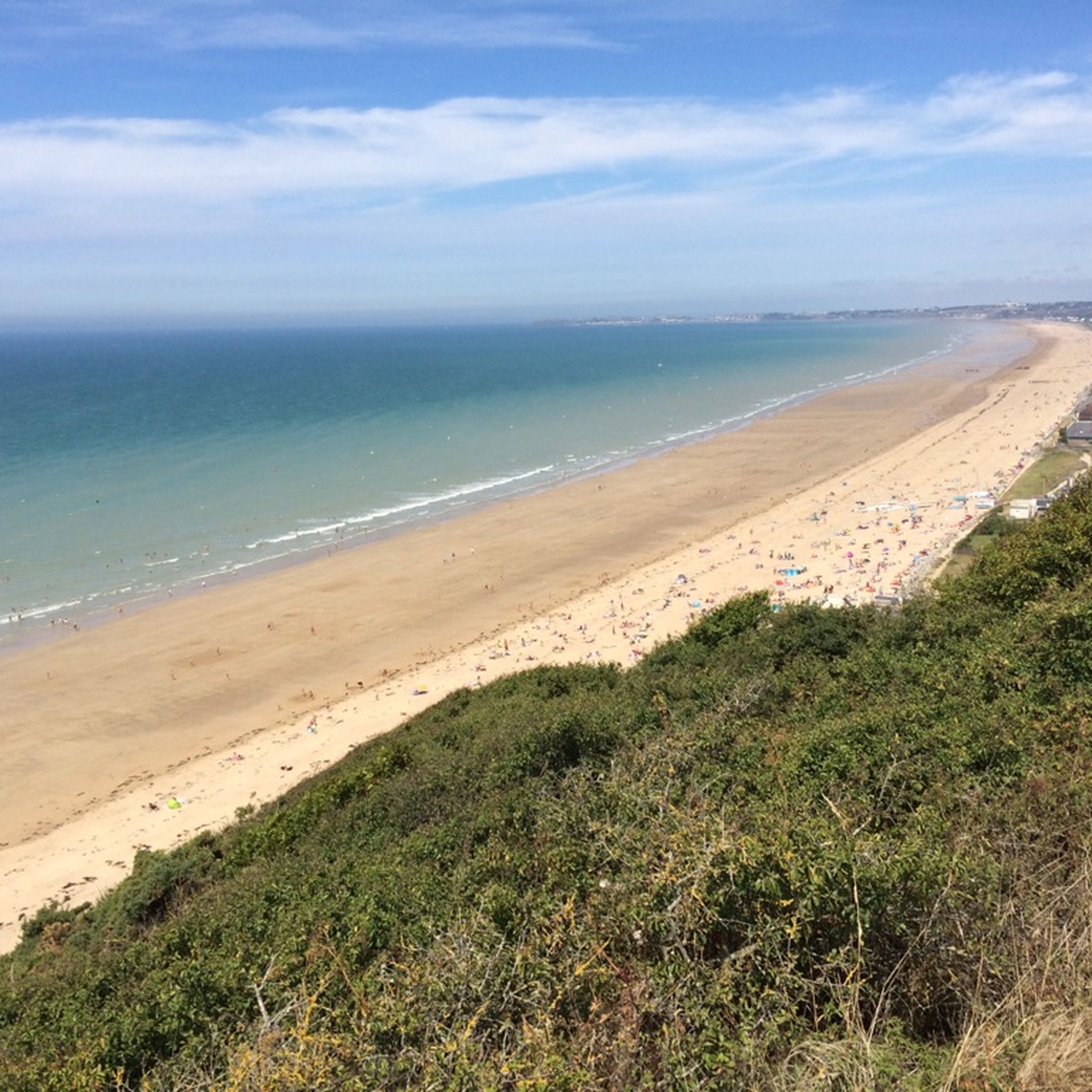
The bay is known for its fine white sand, clear turquoise waters and the impressive backdrop of the castle.
1
0
Frequently Asked Questions
How many hiking trails are available around Avranches?
There are over 600 hiking trails around Avranches, offering a wide variety of options for all skill levels. You'll find everything from easy coastal strolls to more challenging inland excursions.
Are there easy hiking trails suitable for beginners or families in Avranches?
Yes, Avranches offers many easy trails perfect for beginners and families. Over 340 routes are classified as easy. For example, the L'Ile de Chausey (La Grande Ile) — loop is an easy 4.9 km path that takes about 1 hour 16 minutes, offering a gentle exploration of the island.
What kind of landscapes can I expect to see on hikes around Avranches?
Hiking around Avranches offers diverse landscapes. You'll encounter the iconic Bay of Mont Saint-Michel, extensive coastal paths with panoramic views, and the traditional Norman bocage landscape inland. Rivers like the Sée and Sélune also create picturesque valleys, such as the Lude Valley.
Are there any circular walks available near Avranches?
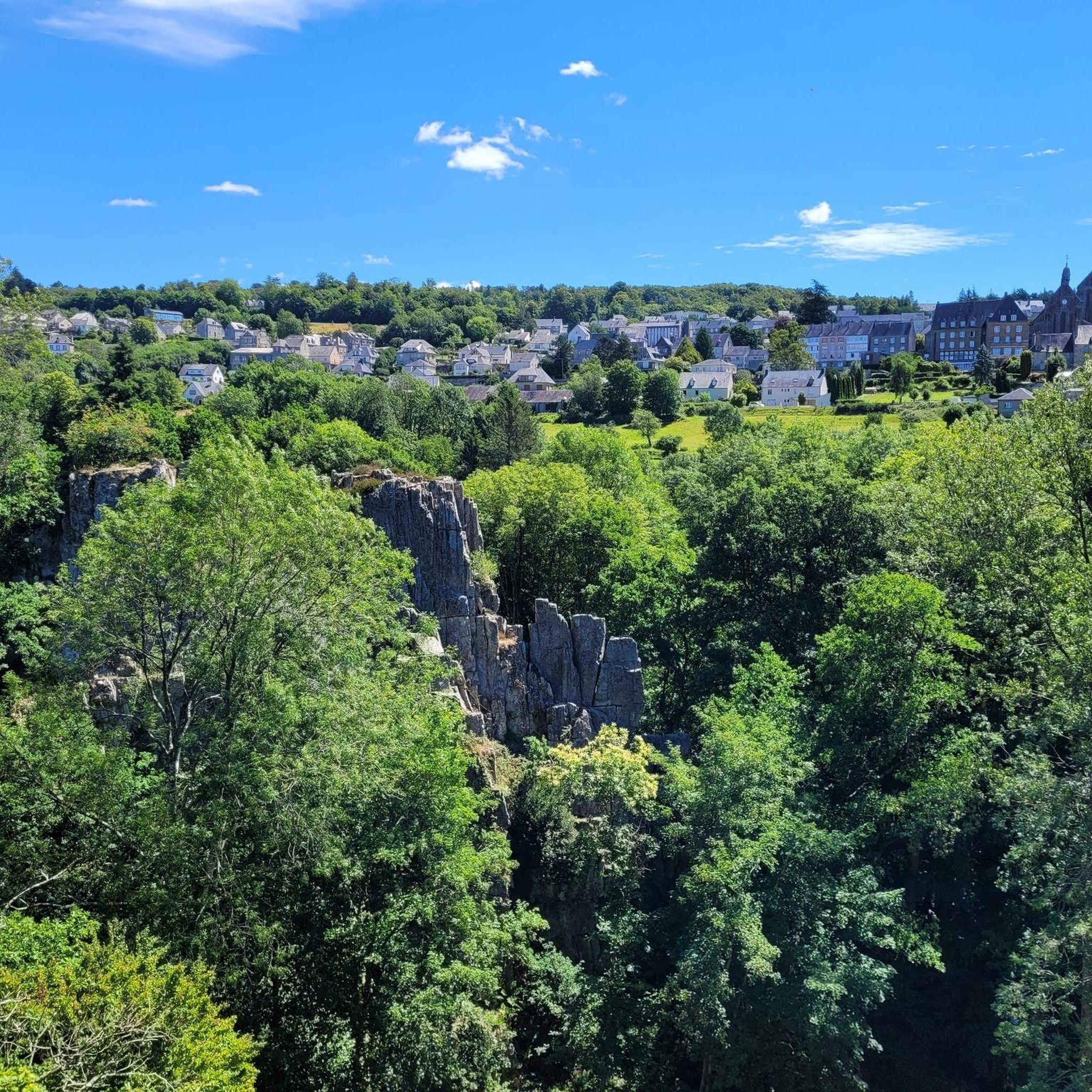
Yes, many trails around Avranches are circular, allowing you to start and end at the same point. An example is the Fosse Arthour Loop, a moderate 8.6 km route that takes you through a scenic gorge and surrounding areas.
Can I find trails with waterfalls in the Avranches region?
Yes, the wider region around Avranches features natural attractions like waterfalls. You can explore routes such as The waterfalls in the Mortainais — loop, a moderate 5.3 km trail that takes you to these scenic spots.
What are some notable landmarks or points of interest I can see while hiking?
Many hikes offer views or pass by significant landmarks. The region is dominated by the Mont Saint-Michel. Other points of interest include the Grouin du Sud viewpoint, the historical Montgommery Castle, and the dramatic Fosse Arthour gorge.
What do other hikers say about the trails in Avranches?
The trails in Avranches are highly rated by the komoot community, with an average score of 4.5 stars from over 3,200 reviews. Hikers often praise the stunning views of Mont Saint-Michel, the diverse coastal and inland scenery, and the well-maintained paths.
Are there any historical routes or pilgrim paths around Avranches?
Avranches is historically significant as a point on the ancient 'Chemins de Paradis' (paths to heaven), which are pilgrim routes leading to Mont Saint-Michel. These routes offer a deep dive into the region's spiritual heritage, connecting the town to the wider network of trails towards the abbey.
Can I access hiking trails around Avranches using public transport?
While some trails might be accessible via local bus services, many trailheads are best reached by car. It's advisable to check local public transport schedules and routes in advance, especially for trails further from the town center, to plan your access effectively.
What is the best time of year to go hiking in Avranches?
The spring and autumn months generally offer the most pleasant hiking conditions with mild temperatures and beautiful scenery. Summer can also be enjoyable, especially for coastal walks, but be prepared for more visitors. Winter hiking is possible, but check local conditions, especially for bay crossings which can be affected by tides and weather.
Are there any longer, more challenging hikes for experienced hikers?
Yes, while many routes are easy to moderate, there are also more challenging options. For instance, the Château des Montgomery, along the Sélune and the Bois d'Ardennes — loop from Ducey is a moderate 11.4 km trail, offering a longer excursion through varied terrain. There are 19 routes classified as difficult for those seeking a greater challenge.
What wildlife might I encounter on the trails around Avranches?
The diverse landscapes of Avranches, from the Bay of Mont Saint-Michel to the bocage, support various wildlife. Along the coast and in the bay, you might spot migratory birds. Inland, the hedgerows and woodlands provide habitats for smaller mammals and a variety of bird species characteristic of the Norman countryside.
Most popular routes around Avranches
Most popular attractions around Avranches

Get inspired with the komoot mobile app


Didn’t find what you were looking for?
Check out more Hikes throughout Avranches below and find the perfect route in your destination.
Explore more
Browse the best Hikes in other regions.
