Easy hikes and walks around Rosendahl
4.5
(11015)
41,277
hikers
201
hikes
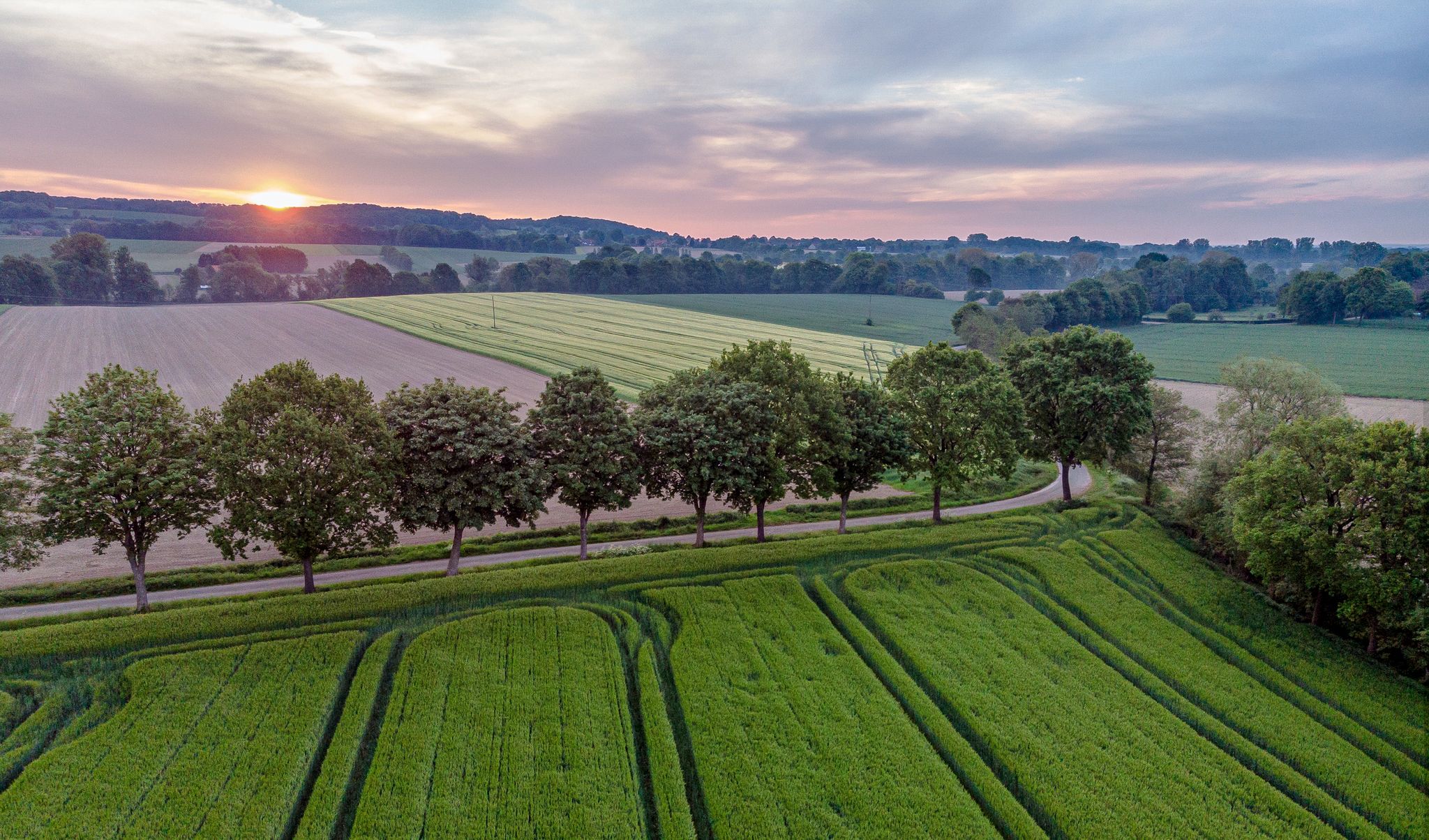
Easy hiking trails around Rosendahl traverse the distinctive Münsterland park landscape, characterized by a mix of dense forests, open fields, and quaint villages. The region offers gentle elevation changes, making it suitable for accessible walks. Hikers can expect to encounter historic structures like castles and enjoy the area's natural scenery.
Best easy hiking trails around Rosendahl
- The most popular easy hiking route is Darfeld Castle – Kattenstrang Path loop from Darfeld, a 3.4 miles (5.5 km) trail that takes…
Last updated: October 17, 2026
4.4
(43)
148
hikers
5.55km
01:26
30m
30m
Easy hike. Great for any fitness level. Easily-accessible paths. Suitable for all skill levels.
4.3
(23)
66
hikers
3.23km
00:49
10m
10m
Easy hike. Great for any fitness level. Easily-accessible paths. Suitable for all skill levels.

4.4
(18)
45
hikers
4.17km
01:04
10m
10m
Easy hike. Great for any fitness level. Easily-accessible paths. Suitable for all skill levels.
4.5
(27)
91
hikers
Easy hike. Great for any fitness level. Easily-accessible paths. Suitable for all skill levels.
4.4
(9)
49
hikers
6.79km
01:45
40m
40m
Easy hike. Great for any fitness level. Easily-accessible paths. Suitable for all skill levels.
Get access to more routes and recommendations from other explorers.
Already have an account?
Our route recommendations are based on thousands of hikes, rides, and runs completed by other people on komoot.
Start today with a free account
Your next adventure awaits.


Tips from the Community

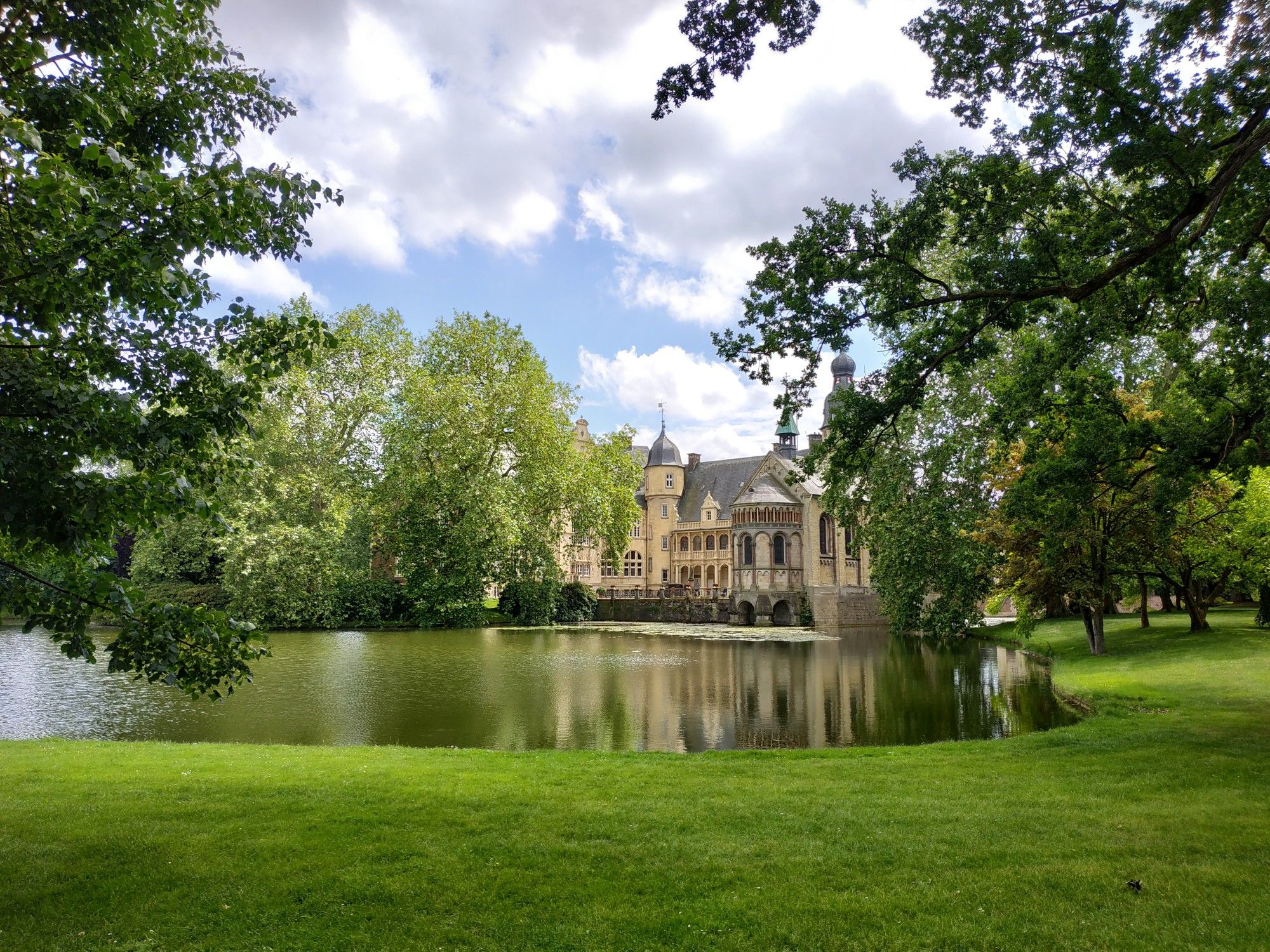
🚲✨ The Nepomuk wayside shrine at Darfeld Castle is a small but fine highlight for anyone who appreciates the silent witnesses of history along the wayside. Amidst the magnificent park landscape around the moated castle, you will find this baroque sandstone figure that has been watching over the region's waters for centuries.
1
0
🕯️✨ The Stations of the Cross at Darfeld Castle is a quiet path of reflection that connects the region's sacred history with the picturesque backdrop of the Westphalian parkland. Unlike large pilgrimage sites, the Stations of the Cross at Darfeld Castle offer a very private, almost meditative atmosphere. Its location away from car traffic—as access to the castle is restricted to cars—makes it an ideal place for a mindful walk.
1
0

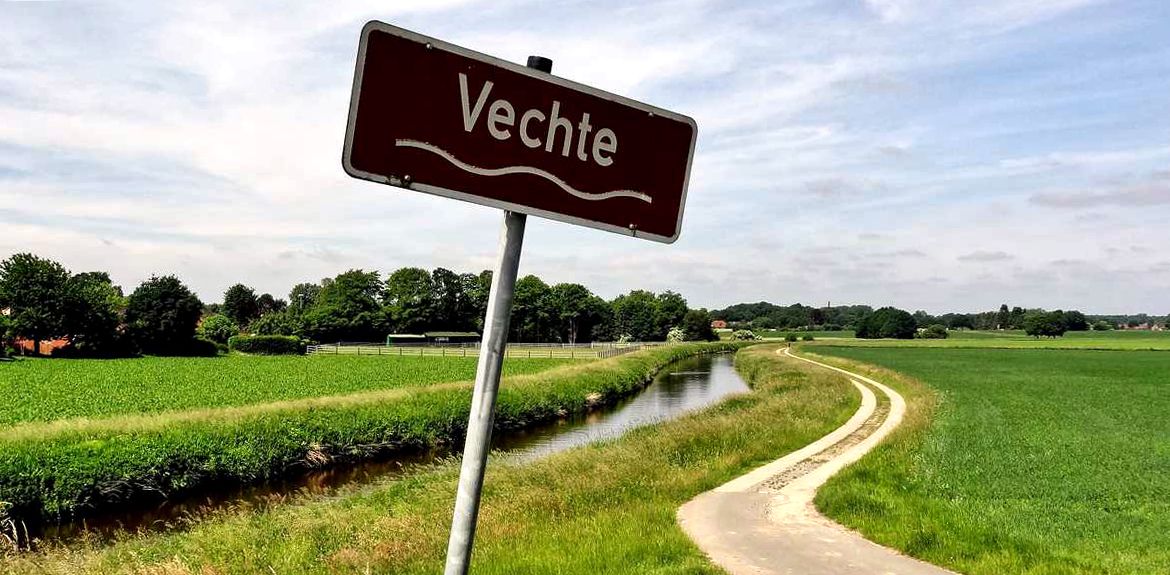
Idyllic short route along the Berkel.
3
0

Not so noticeable next to the castle.
2
0

There is a charging station for electric cars at the sports field (parking lot).
0
0

Are already little treasures
2
0

There is an ice cream vending machine in the free parking lot at the sports field. For €3.50 you can get a cup of different types of ice cream.
4
0
Frequently Asked Questions
How many easy hiking trails are there around Rosendahl?
Rosendahl offers a wide selection of easy hiking trails, with over 140 routes specifically categorized as easy. In total, there are nearly 200 hiking tours available in the area.
What kind of landscape can I expect on easy hikes in Rosendahl?
Easy hikes in Rosendahl primarily traverse the charming Münsterland park landscape. You'll experience a mix of dense forests, open fields, and picturesque villages, often with gentle elevation changes. The area is known for its idyllic scenery.
Are there any circular easy walks in Rosendahl?
Yes, many easy trails in Rosendahl are circular. For example, the Darfeld Castle – Kattenstrang Path loop from Darfeld is a popular 5.5 km circular route, and the Statue of Saint Nepomuk – Burlo Mill loop from Wald bei Haus Burlo offers another easy 5.3 km loop through fields and woodlands.
What historical sites can I see on an easy hike in Rosendahl?
Several easy hikes pass by historical sites. You can explore the area around Darfeld Castle or Varlar Castle. The Forsthaus Varlar – Varlar Castle loop from Berkelaue is a great option to experience the historic Varlar Castle and its surrounding parkland.
What do other hikers say about the trails in Rosendahl?
The hiking trails in Rosendahl are highly regarded by the komoot community, holding an average rating of 4.3 stars from over 700 reviews. Hikers often praise the well-maintained paths, the peaceful park landscape, and the blend of nature with historical elements like castles.
Are there any viewpoints on the easy trails in Rosendahl?
While Rosendahl features gentle terrain, you can find scenic spots. The Barenburg Medieval Earthwork – View of Holtwicker See loop from Turmhügelburg Barenborg offers views of Holtwicker See. For broader vistas in the region, consider visiting the Longinus Tower or the View from the Drei Linden at Coesfelder Berg.
What is the best time of year for easy hiking in Rosendahl?
The best seasons for easy hiking in Rosendahl are spring and autumn. During these times, the natural surroundings display vibrant colors, from blossoming flowers in spring to the golden and red leaves of autumn, making for a particularly picturesque experience.
Are there any family-friendly easy hikes in Rosendahl?
Yes, Rosendahl's gentle terrain and park-like settings are ideal for families. The Fairytale Forest Nottuln-Roxeler Heide, though not directly in Rosendahl, is a nearby nature trail specifically designed to engage children with local flora and fauna. Many of the easy, shorter loops are also suitable for families.
How long do the easy hikes in Rosendahl typically take?
The duration of easy hikes varies, but many can be completed in a relatively short time. For instance, the Forsthaus Varlar – Varlar Castle loop from Berkelaue takes about 50 minutes, while slightly longer routes like the Darfeld Castle – Kattenstrang Path loop from Darfeld can be completed in about 1 hour 25 minutes.
Are there any other attractions near the easy hiking trails in Rosendahl?
Beyond the trails, you can explore other attractions in the vicinity. The RadBahn Münsterland offers cycling opportunities, and the impressive St. Ludgerus Cathedral in Billerbeck is also nearby, adding cultural interest to your visit.
What is the typical elevation gain on easy hikes in Rosendahl?
Easy hikes in Rosendahl are characterized by very gentle elevation changes, making them accessible for most. For example, the Darfeld Castle – Kattenstrang Path loop from Darfeld has an elevation gain of only about 26 meters, and the Forsthaus Varlar – Varlar Castle loop from Berkelaue has an even gentler gain of around 9 meters.
Most popular routes around Rosendahl
Most popular attractions around Rosendahl

Get inspired with the komoot mobile app


Explore more
Browse the best Hikes in other regions.
