Easy hikes and walks around Leichlingen
4.6
(10544)
37,440
hikers
389
hikes
Easy hiking trails around Leichlingen (Rhld.) offer a diverse landscape shaped by the Wupper River and rolling green hills. Situated at the edge of the Bergisches Land, the region features a mix of forests, meadows, and unique natural features like the Leichlinger Sandberge. Hikers can explore varied terrain, from riverine paths to the elevated areas of the Bergisches Heideterrasse, with elevations ranging from 54m to 250m. The area is also known as a "Blütenstadt," showcasing blooming orchards and gardens, especially…
Last updated: July 1, 2026
4.2
(70)
292
hikers
Easy hike. Great for any fitness level. Easily-accessible paths. Suitable for all skill levels.
4.6
(172)
720
hikers
6.50km
01:43
50m
60m
Easy hike. Great for any fitness level. Easily-accessible paths. Suitable for all skill levels.

Sign up for free
4.7
(62)
255
hikers
Easy hike. Great for any fitness level. Easily-accessible paths. Suitable for all skill levels.
4.6
(63)
289
hikers
Easy hike. Great for any fitness level. Easily-accessible paths. Suitable for all skill levels.
4.9
(84)
320
hikers
6.59km
01:48
100m
100m
Easy hike. Great for any fitness level. Easily-accessible paths. Suitable for all skill levels.
Get access to more routes and recommendations from other explorers.
Sign up for free
Already have an account?
Our route recommendations are based on thousands of hikes, rides, and runs completed by other people on komoot.
Start today with a free account
Your next adventure awaits.
Login or Signup
Popular around Leichlingen (Rhld.)
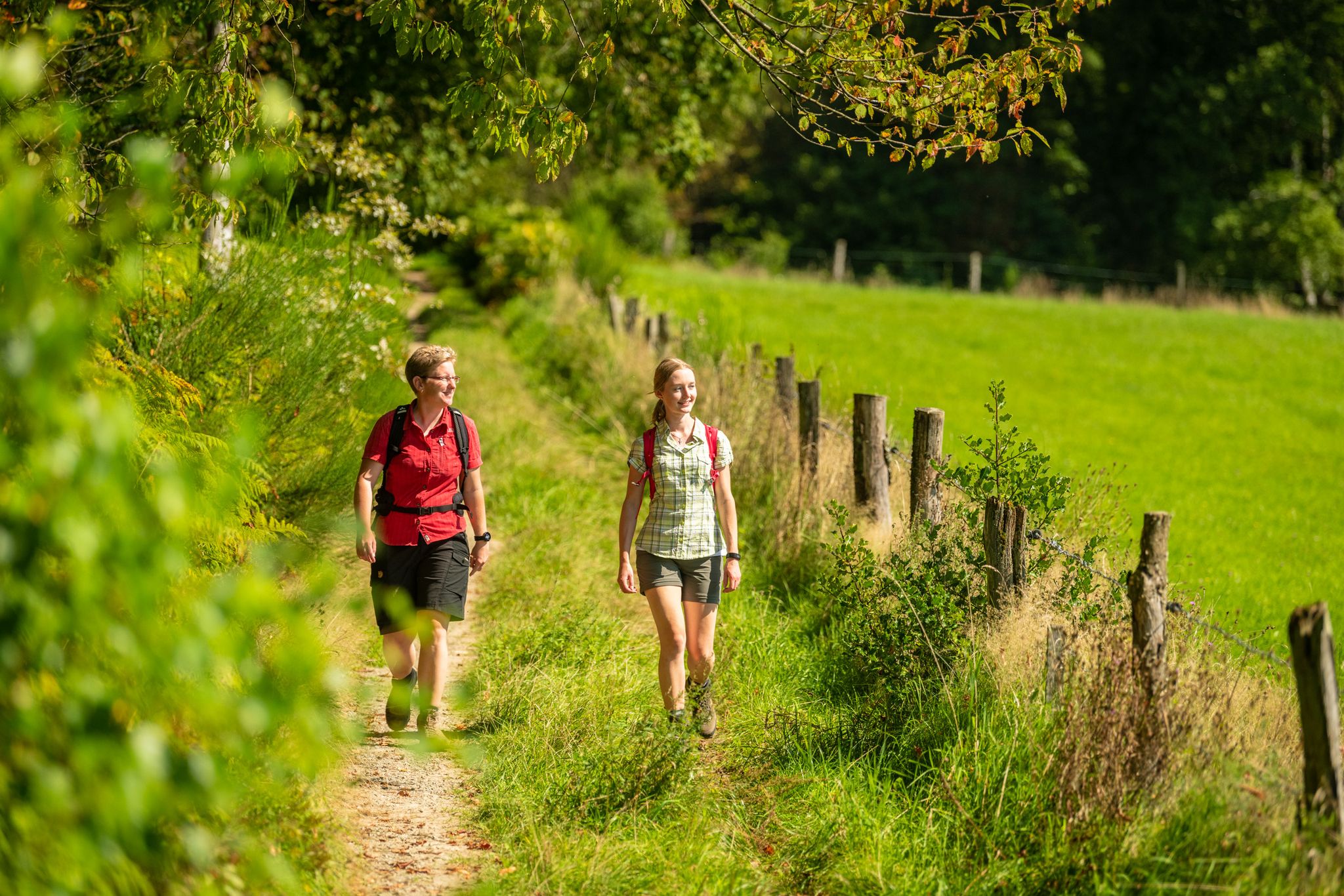
Bergische Rambles – themed and adventure trails in the Bergisches Land region
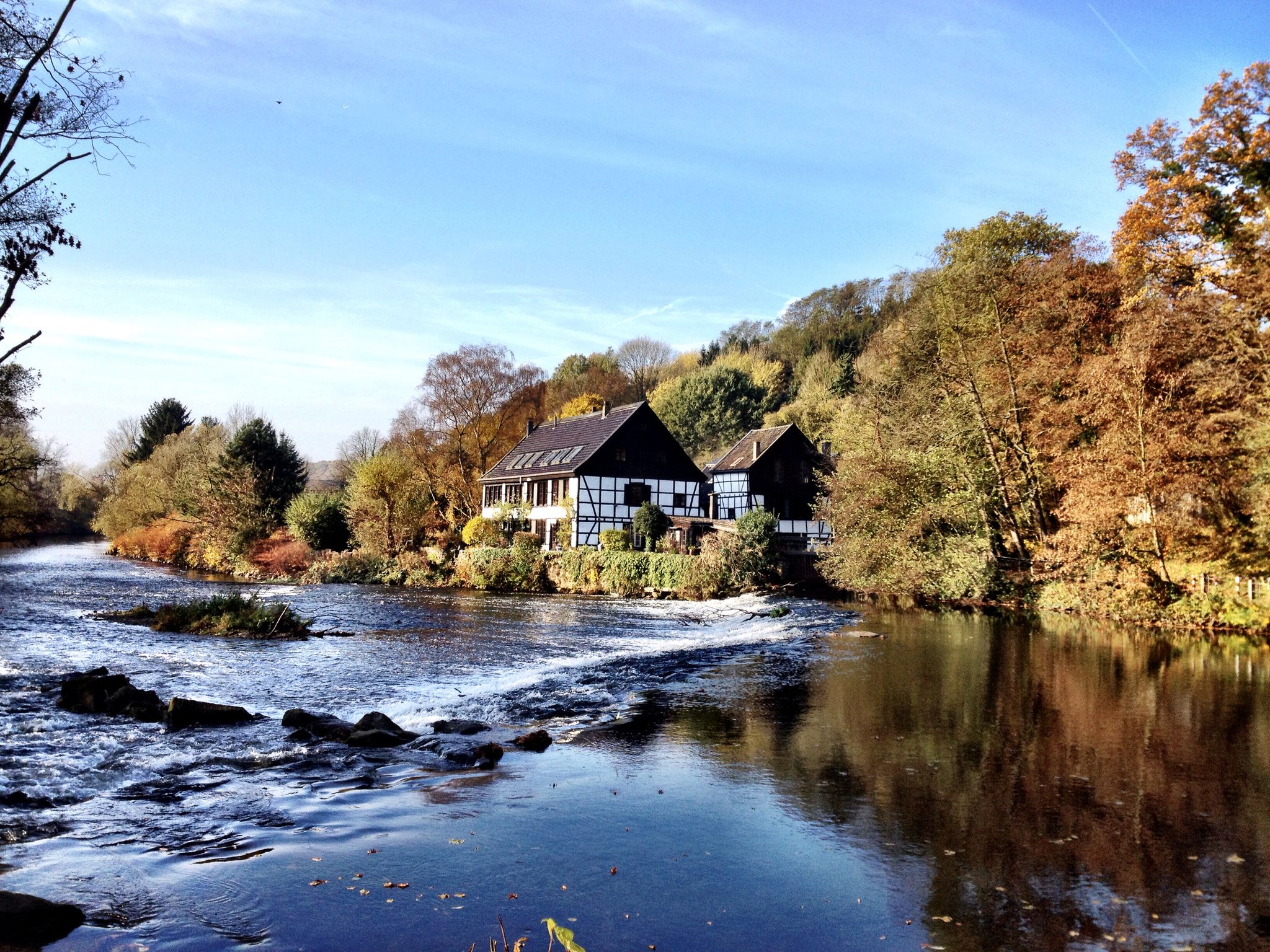
Klingenpfad (Solingen)
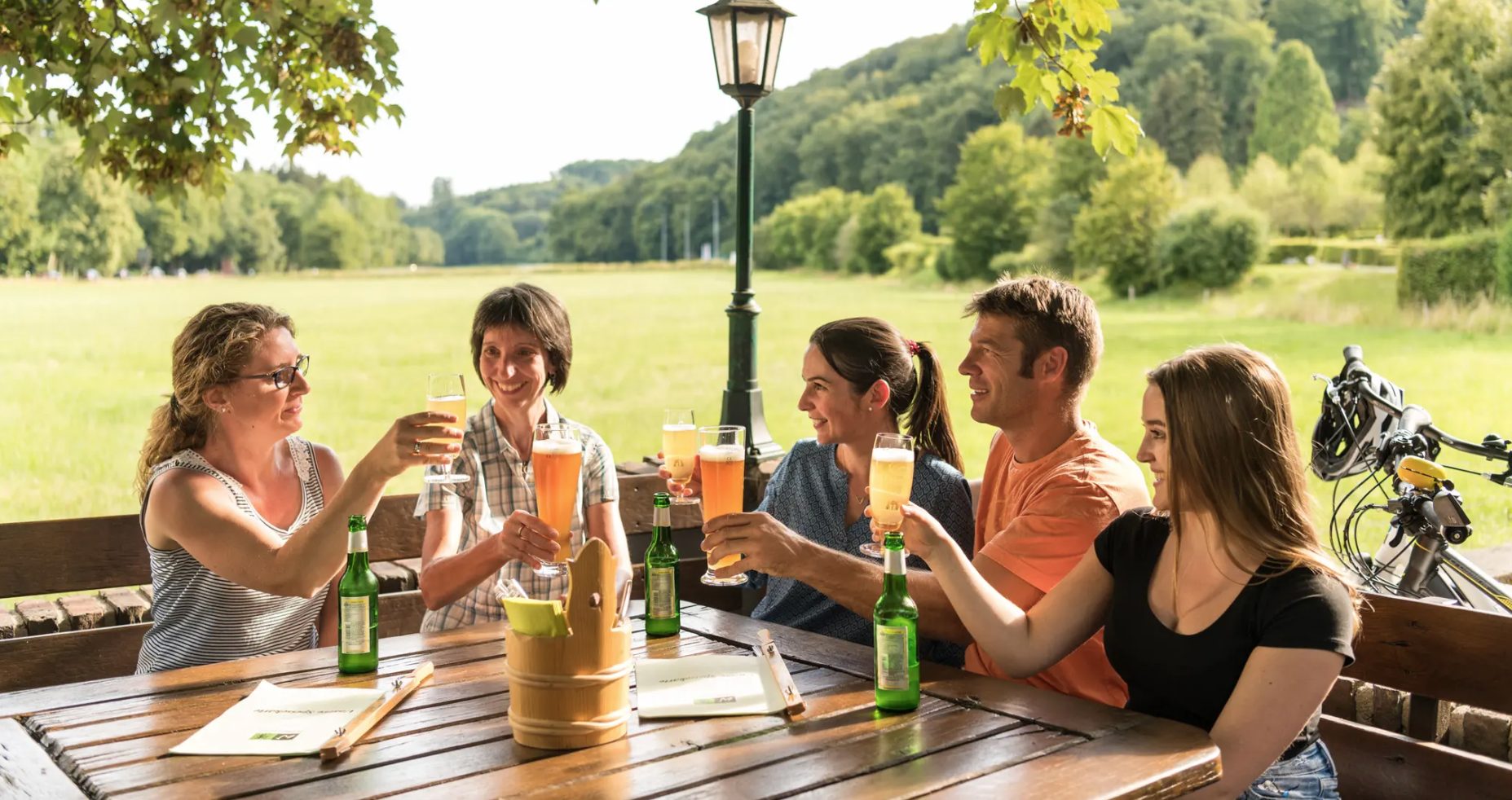
Hike and indulge in regional delights in Bergisches Land
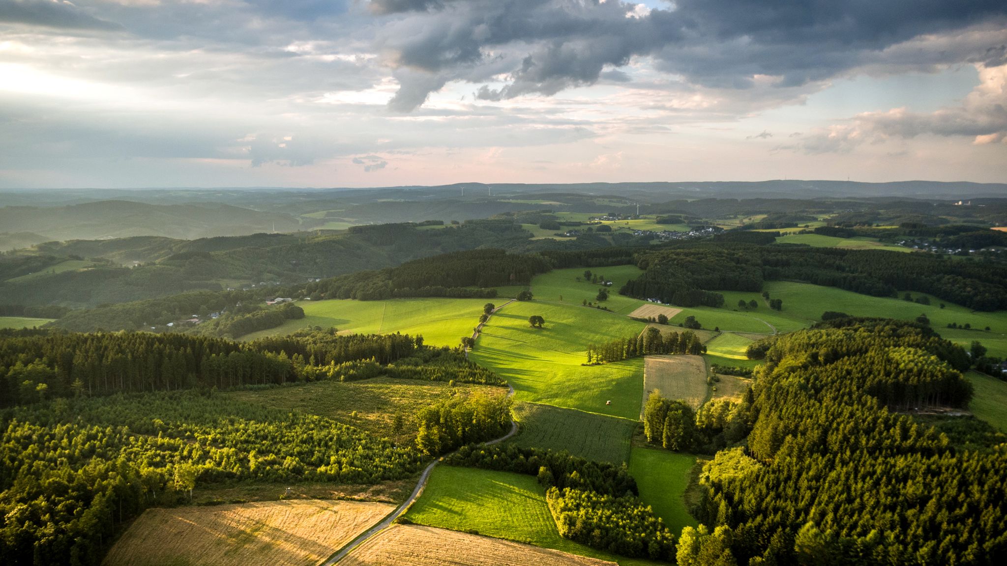
Panoramic adventures — explore Germany’s Bergisches Land

River dams in Germany’s Bergisches Land
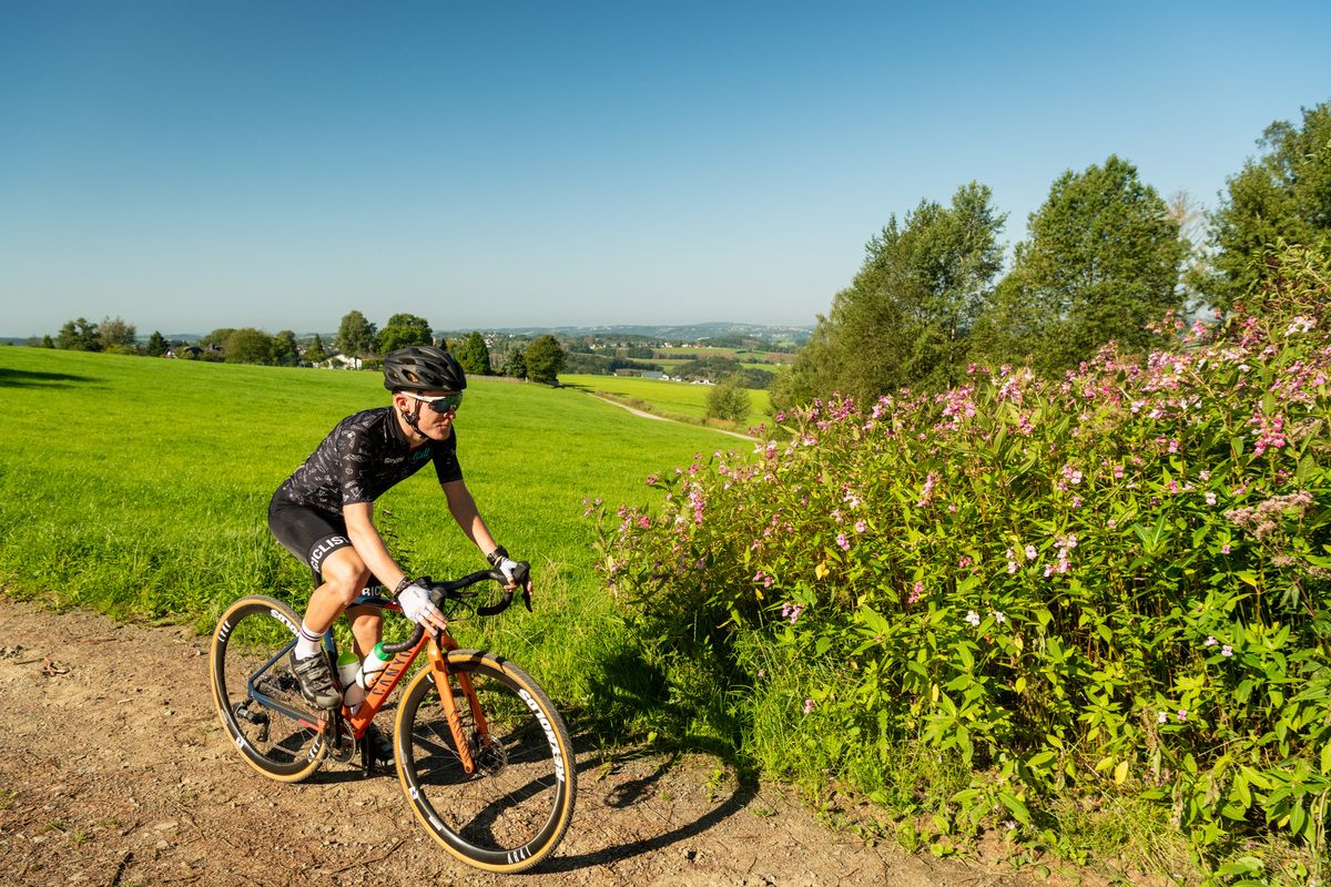
Forests, meadows and valleys — Gravel bike Tours in Bergisches Land
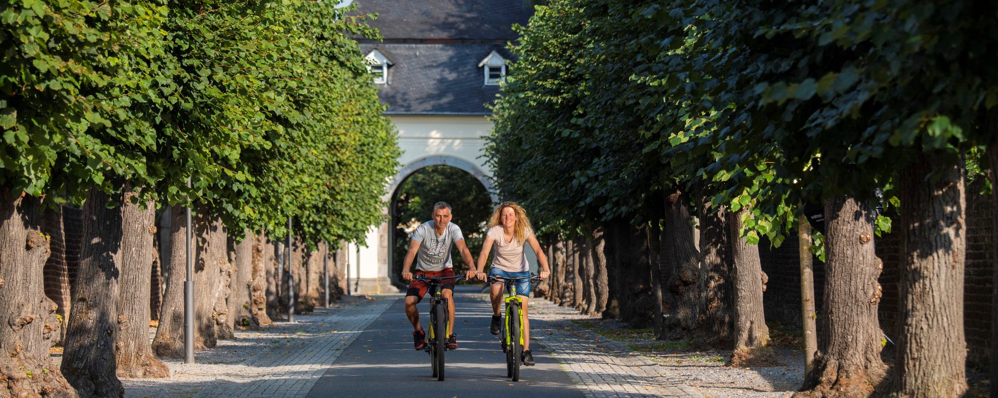
#memrädcheopjöck – cycling in the Rhineland
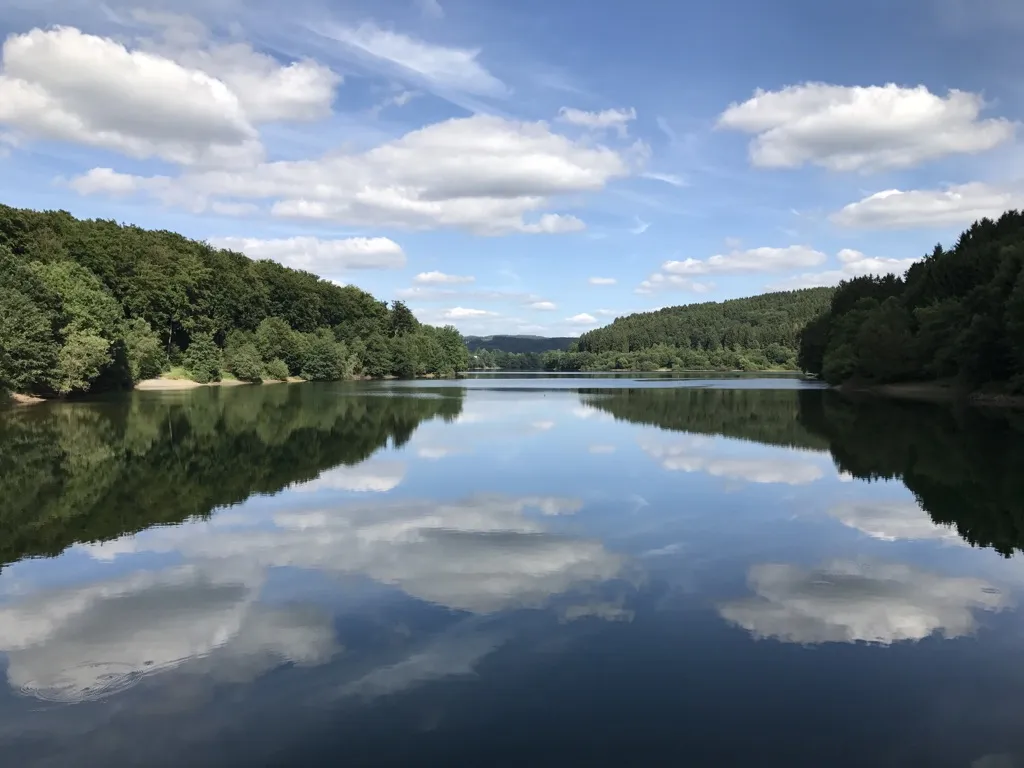
Auszeiten im Grünen – Entspannte Wanderungen im Rheinland
Other adventures around Leichlingen


Tips from the Community

A lovely little wooded area for hiking.
0
0
A lovely little wooded area for hiking.
0
0
A lovely little wooded area for hiking.
0
0


A wonderful alternative to the Wupper if you want to go from Leichlingen to Wermelskirchen 👍
2
0

The ride with the e-bike through the Weltersbachtal is very beautiful but the route is a bit bumpy in places.
1
0

Nice place for a short break while hiking
1
0

The Pfaffenberg restaurant has unfortunately been permanently closed since December 2023. https://www.solinger-tageblatt.de/lokales/solingen/solingen-restaurant-pfaffenberg-schliesst-im-dezember-D3CD4ED6F5DDDABF23BADC2642.html
1
0
Frequently Asked Questions
How many easy hiking trails are there in Leichlingen (Rhld.)?
Leichlingen (Rhld.) offers a wide selection of easy hiking trails, with over 250 routes specifically categorized as easy. This allows for diverse exploration of the region's landscapes.
What do other hikers enjoy the most about hiking in Leichlingen (Rhld.)?
The area is highly rated by the komoot community, with an average score of 4.6 stars from over 9,800 reviews. Hikers often praise the diverse landscapes, from riverine paths along the Wupper to the rolling green hills and blooming orchards, making it a scenic destination for easy walks.
When is the best time of year for easy hikes in Leichlingen (Rhld.)?
Leichlingen, known as the 'Blütenstadt' (Flower City), is particularly beautiful in spring when apple and berry blossoms are in full display. Summer offers pleasant walks through forests and meadows, while autumn brings vibrant colors. The trails are generally accessible year-round, with winter offering a tranquil, crisp experience.
Are there easy circular hiking routes in Leichlingen (Rhld.)?
Yes, many easy trails in Leichlingen (Rhld.) are designed as circular routes, allowing you to start and end at the same point. For example, the Nesselrath House – Wipperkotten Grinding Mill loop from Weinsberger Bachtal is an easy circular path that takes you through tranquil scenery and past historic sites.
Can I bring my dog on easy hikes in Leichlingen (Rhld.)?
Most easy hiking trails in Leichlingen (Rhld.) are dog-friendly, offering plenty of natural spaces for your canine companion to enjoy. It's always recommended to keep dogs on a leash, especially in nature reserves or areas with livestock, and to respect local regulations.
Are there family-friendly easy hikes in Leichlingen (Rhld.)?
Absolutely. The easy trails in Leichlingen (Rhld.) are well-suited for families, often featuring gentle gradients and interesting sights. The 'Leichlingen Orchard Trail' is a moderate loop hike suitable for all fitness levels, allowing visitors to experience the town's agricultural beauty, and many other routes offer similar accessible experiences.
Are there any easy trails that pass by water features like waterfalls or reservoirs?
Yes, the region is rich in water features. You can find easy trails along the Wupper River, which offers scenic views. The Roderbach Trail – Rapids of the Weltersbach loop from Leichlingen leads through the Weltersbach valley, where you can experience the river's dynamics. Additionally, the Sengbach Reservoir and Diepental Reservoir are notable natural monuments that offer beautiful settings for hikes, and you might encounter smaller cascades like the Tackermühle Waterfall.
What kind of natural landscapes can I expect on easy trails in Leichlingen (Rhld.)?
Easy trails in Leichlingen (Rhld.) traverse a diverse landscape. You'll encounter the picturesque Wupper River, rolling green hills, and extensive forests and meadows. Unique features include the Leichlinger Sandberge, part of the Bergisches Heideterrasse, offering distinct natural environments. The region's designation as 'Blütenstadt' also means you'll often pass through blooming orchards and gardens.
Are there any historical sites or landmarks to see on easy hikes?
Yes, Leichlingen (Rhld.) offers several historical points of interest. While some castles like Burg Castle might require a more challenging approach, you can find easy walks around sites such as Schloss Eicherhof and Wasserschloss Haus Landscheidt. The historic 19th-century Wupper Bridge is also a special sight within the town. The Nesselrath House – Wipperkotten Grinding Mill loop specifically passes by historic locations like Wipperkotten and the Wupper Weir.
Are there options for public transport to reach easy hiking trails in Leichlingen (Rhld.)?
Leichlingen (Rhld.) is generally well-connected within the Rheinisch-Bergischer Kreis. Public transport options, including buses, can take you to various starting points for hikes. It's advisable to check local bus schedules for specific trailheads, especially for routes further outside the town center.
Where can I find parking for easy hikes in Leichlingen (Rhld.)?
Parking is typically available near popular trailheads and in the town center of Leichlingen (Rhld.). Many routes, especially those starting from villages or specific attractions, will have designated parking areas. For routes like the Leichlingen Orchard Trail or those near the Diepental Reservoir, you can usually find convenient parking close by.
Are there places to eat or drink near the easy hiking trails?
Yes, Leichlingen (Rhld.) and its surrounding villages offer various cafes and restaurants where you can refuel after your hike. Many trails pass through or near residential areas or small towns, providing opportunities for a break. It's a good idea to check the specific route you plan to take for nearby establishments.
What should I wear for easy hikes in Leichlingen (Rhld.)?
For easy hikes in Leichlingen (Rhld.), comfortable walking shoes with good grip are essential. Depending on the season, dress in layers to adapt to changing weather conditions. A light rain jacket is always a good idea, as is sun protection during warmer months. Even on easy trails, carrying water is recommended.
Are there any less-known easy trails or hidden gems in the area?
While many trails are popular, the extensive network around Leichlingen (Rhld.) means there are always quieter paths to discover. Exploring the smaller side valleys of the Wupper or the less frequented sections of the Bergisches Heideterrasse can reveal tranquil spots and unique views away from the main routes. The View of Balkhausen – View from Hästen loop offers a different perspective of the landscape.
Most popular routes around Leichlingen
Most popular attractions around Leichlingen

Get inspired with the komoot mobile app


Explore more
Browse the best Hikes in other regions.
