The best cycling routes around Katzhütte
4.5
(1589)
6,720
riders
317
rides
Touring cycling routes around Katzhütte are situated within the Thuringian Slate Mountains, characterized by dense coniferous forests and steep mountain meadows. The region features the Schwarza river, which flows through a valley with impressive rock walls. Elevations in the area range from 430 to 450 meters, offering varied terrain for cyclists. Geological formations, such as the Katzhütter Schichten, provide unique insights into the Earth's early history.
Best touring cycling routes around Katzhütte
- The most popular touring cycling route is Werra…
Last updated: October 10, 2026
4.6
(25)
74
riders
40.7km
03:08
610m
610m
Hard bike ride. Very good fitness required. Mostly paved surfaces. Suitable for all skill levels.
4.6
(8)
61
riders
84.1km
06:15
1,190m
1,190m
Hard bike ride. Very good fitness required. Mostly paved surfaces. Suitable for all skill levels.

4.5
(2)
56
riders
34.3km
02:28
540m
540m
Hard bike ride. Very good fitness required. Mostly paved surfaces. Suitable for all skill levels.
4.5
(19)
119
riders
21.3km
01:44
240m
240m
Moderate bike ride. Good fitness required. Mostly paved surfaces. Suitable for all skill levels.
5.0
(7)
37
riders
Hard bike ride. Good fitness required. You may need to push your bike for some segments of this route.
Get access to more routes and recommendations from other explorers.
Already have an account?
Our route recommendations are based on thousands of hikes, rides, and runs completed by other people on komoot.
Start today with a free account
Your next adventure awaits.

Tips from the Community

The town hall in Masserberg looks back on a rich past and was originally the historic inn "Goldene Gabel". The striking, dark-shingled building is centrally located in the heart of the climatic health resort. It reflects the transformation of the Thuringian town from a simple Rennsteig settlement to a flourishing tourism and spa business.
6
0
The Dreiherrenstein on the Hohe Heide is a historical boundary stone on the Rennsteig in the Thuringian Forest. It stands at an altitude of 832 m and marks the historical border point where the territories of Masserberg, Fehrenbach, and Goldisthal meet. The stone was erected in 1846 and bears the inscription "HSM 1846".
6
0
In 1758, the first church could be built in Masserberg. In 1880, the old church, along with 13 other houses, fell victim to a conflagration. Today's Bergkirche (mountain church) was consecrated on October 9, 1883, and is a simple yet inviting house of worship. The altar area was created by the renowned Greiz sculptor Elly-Viola Nahmacher.
6
0
The Triniusstein is a porphyrite rock, also known as "Porphyr Trinii", and is located on the Schwalbenhauptwiese on the Rennsteig between Neustadt am Rennsteig and Masserberg. The namesake is the hiking writer and Rennsteig pioneer August Trinius (1851-1919). At this crossroads, there is also a restaurant, the Triniusbaude.
2
0
Log cabin style shelter on a large meadow at the Rennsteig near Tannental and Ochsenbacher Teich.
6
0

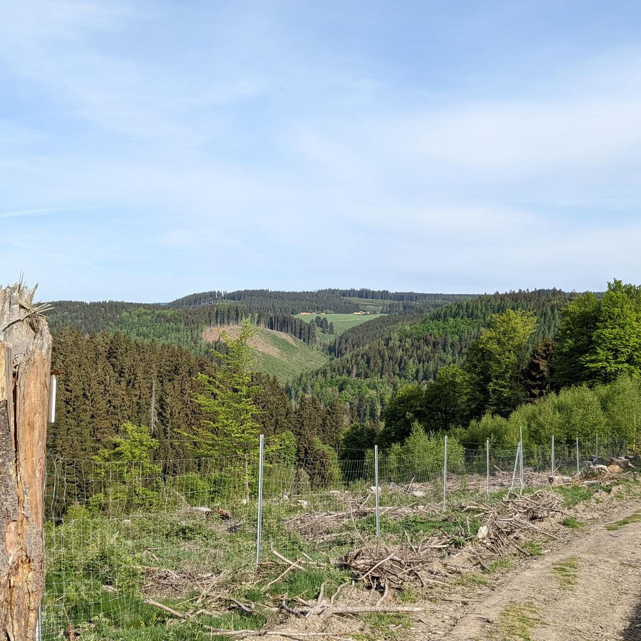
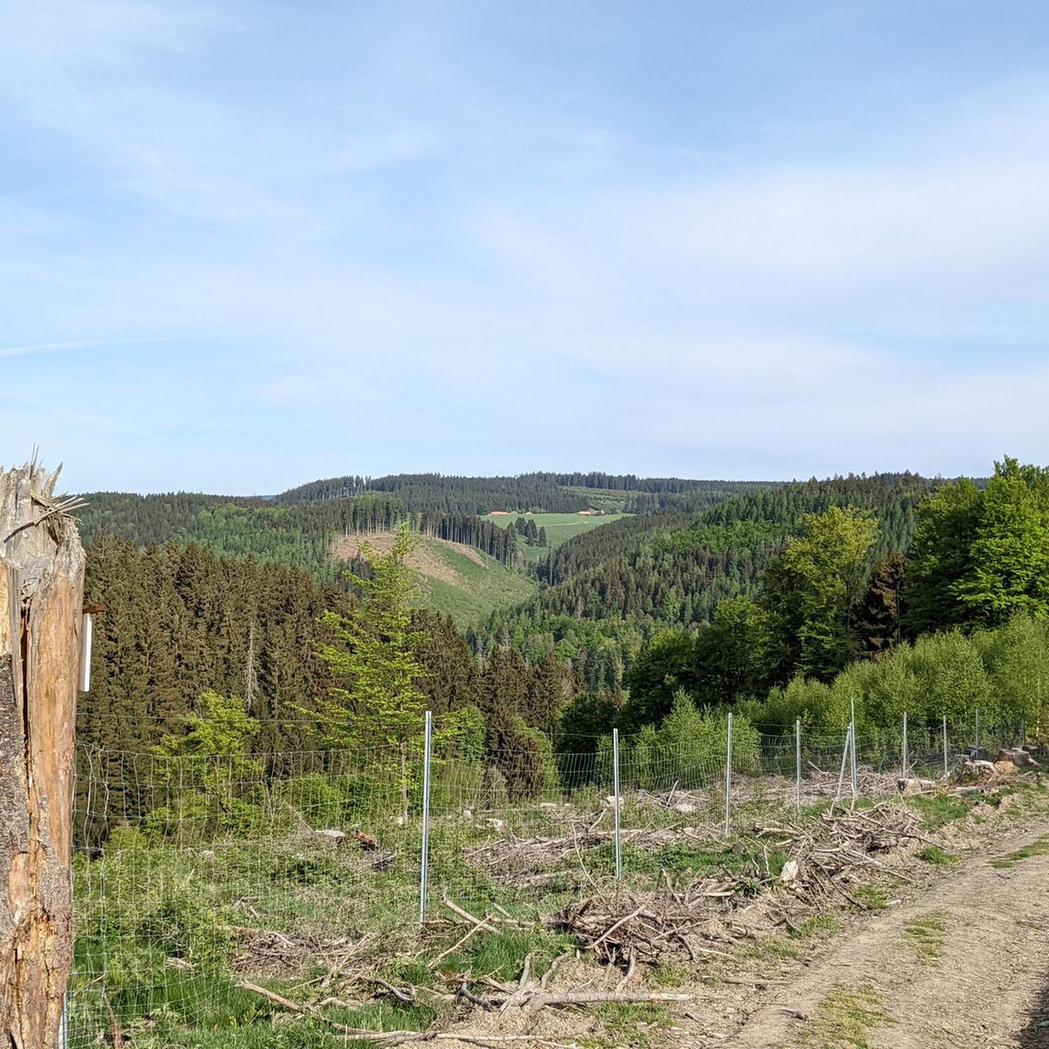
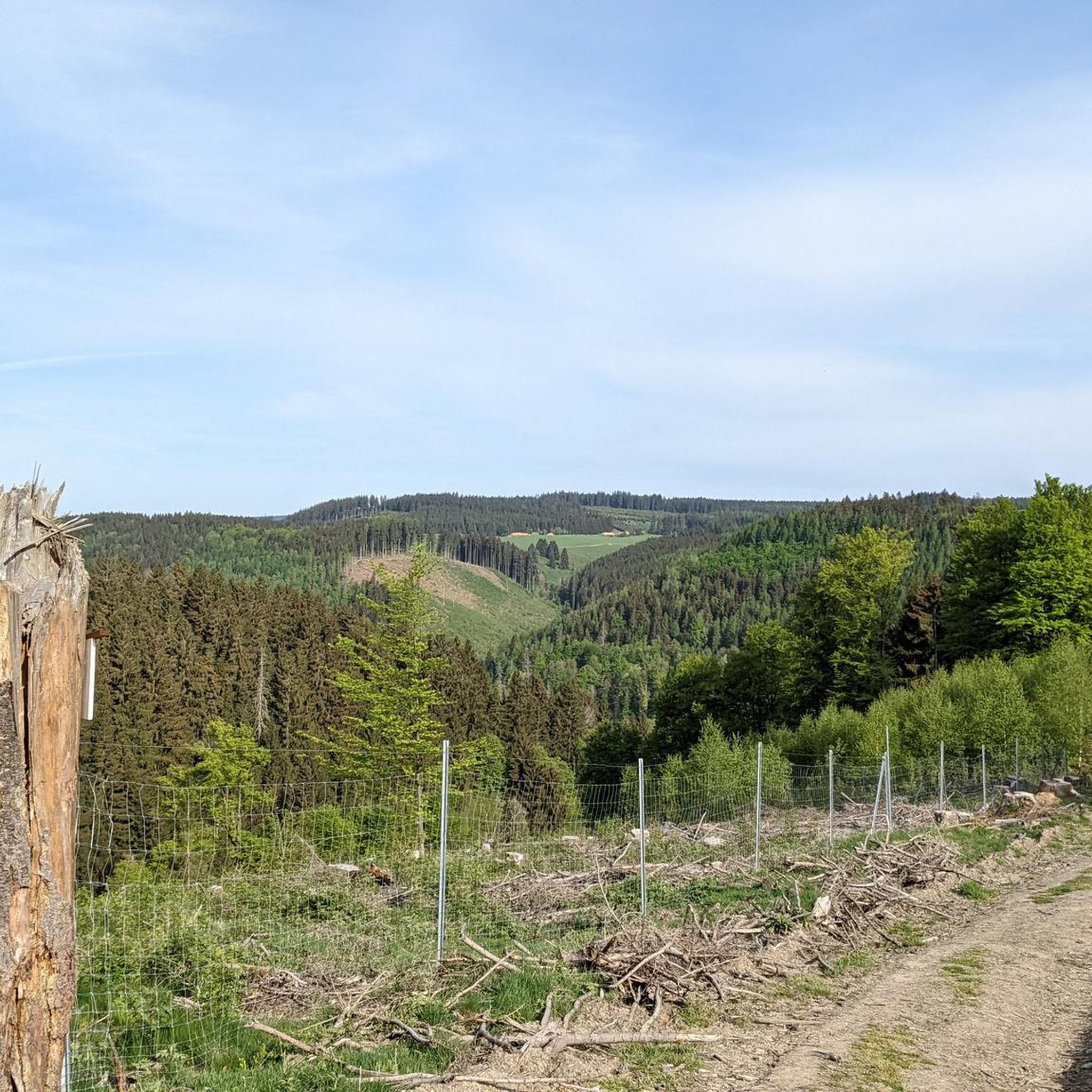
Remains of the heavily damaged old meat tree were felled in June 2026 for safety reasons and the remains left on site. A young ash tree planted next to it a few years ago is intended to take over the legacy.
0
0

I actually think a photo is worth it too.
0
1

Added to the collection: komoot.com/de-de/collection/3600632/-naturdenkmaeler-besondere-baeume-und-weitere-schaetze-der-natur
3
0
Frequently Asked Questions
How many touring cycling routes are available in Katzhütte?
There are over 290 touring cycling routes around Katzhütte, offering a wide range of options for different skill levels and preferences. You can find routes varying from easy loops to more challenging ascents through the Thuringian Slate Mountains.
Are there touring cycling routes suitable for beginners or families in Katzhütte?
Yes, Katzhütte offers a good selection of routes for beginners and families. There are 31 easy touring cycling routes available. One such option is the Werra Spring Hut – Bench With View of Masserberg loop from Masserberg, which is 10.3 km long and takes about 45 minutes to complete, leading through pleasant forested areas.
What kind of terrain can I expect on touring cycling routes in Katzhütte?
The terrain around Katzhütte is characterized by the Thuringian Slate Mountains, featuring dense coniferous forests and steep mountain meadows. Routes often follow the Schwarza river through its impressive valley with rock walls. Elevations generally range from 430 to 450 meters, providing varied landscapes with both gentle and challenging sections.
Are there any circular touring cycling routes in Katzhütte?
Yes, many touring cycling routes in Katzhütte are designed as loops, allowing you to start and end at the same point. For example, the Werra Spring Hut – Eisfelder Resting Place loop from Masserberg is a moderate 21.3 km route, and the more challenging Werra Spring Hut – Werra Raft Pond loop from Masserberg covers 40.6 km.
What are some scenic viewpoints or attractions I can visit along the touring cycling routes?
Katzhütte and its surroundings offer several scenic spots. You can enjoy magnificent views from the Rennsteigwarte on Eselsberg, which is part of the Rennsteigwarte on Eselsberg – View of Schnett loop from Masserberg route. Other notable attractions include the Fellberg, a prominent natural paradise, and the unique geological formations of the Katzhütter Schichten, which can be explored via an educational trail.
Can I combine touring cycling with public transport in Katzhütte?
Yes, Katzhütte is accessible via the Schwarzatalbahn (Schwarza Valley Railway), which can be a convenient option for cyclists looking to combine their touring with rail travel. It's advisable to check the railway's policies regarding bike transport in advance.
What is the best time of year for touring cycling in Katzhütte?
The region is generally best enjoyed from spring through autumn. During these seasons, the weather is typically mild, and the forest paths are clear. The dense forests provide shade, making it pleasant even on warmer days. Winter touring cycling conditions can be challenging due to snow and ice, especially in higher elevations.
Are there any less crowded touring cycling routes or alternatives to popular trails?
While specific 'less crowded' routes aren't explicitly highlighted, with over 290 routes available, you can easily find quieter paths by exploring some of the less frequently reviewed options on komoot. The region's extensive network allows for diverse choices beyond the most popular trails, especially on weekdays or outside peak holiday periods.
What do other touring cyclists enjoy most about cycling in Katzhütte?
The touring cycling routes in Katzhütte are highly rated by the komoot community, with an average score of 4.5 stars from over 1100 reviews. Cyclists often praise the diverse landscapes, including dense coniferous forests and the scenic Schwarza Valley, as well as the well-maintained paths that cater to various ability levels.
Are there any challenging touring cycling routes for experienced riders?
Absolutely. Katzhütte offers 125 difficult touring cycling routes for experienced riders seeking a challenge. An example is the Werra Spring Hut – Eisfelder Resting Place loop from Masserberg, a 34.1 km route with significant elevation gain, traversing dense forests and offering demanding ascents.
Where can I find places to refill water bottles or get refreshments along the routes?
Near Fehrenbach, you can visit one of the Werra springs, where you can refill water bottles and often find the Werraquell hut offering Thuringian delicacies. Additionally, many towns and villages along the routes will have cafes and pubs where you can stop for refreshments.
Most popular attractions around Katzhütte

Get inspired with the komoot mobile app


Explore more
Browse the best Cycling routes in other regions.
