The best road cycling routes around Katzhütte
4.4
(62)
1,255
riders
109
rides
Road cycling routes around Katzhütte are situated in the northwestern Thuringian Slate Mountains, encompassing the upper Schwarza Valley. The region features dense coniferous forests, rolling hills, and varied terrain with challenging ascents and descents. Predominantly paved roads make the area suitable for road bikes, offering diverse experiences for cyclists.
Best road cycling routes around Katzhütte
- The most popular road cycling route is View from Kohlberg – Wild Monument at Ilmtal loop from Masserberg, a 31.3 miles (50.4 km) trail…
Last updated: July 9, 2026
4.8
(4)
44
riders
50.4km
02:35
890m
890m
Moderate road ride. Good fitness required. Mostly well-paved surfaces and easy to ride.
4.3
(4)
14
riders
31.7km
01:36
510m
510m
Moderate road ride. Good fitness required. Mostly well-paved surfaces and easy to ride.

Sign up for free
17
riders
49.6km
02:21
640m
640m
Moderate road ride. Good fitness required. Mostly well-paved surfaces and easy to ride.
12
riders
36.8km
01:45
490m
490m
Moderate road ride. Good fitness required. Mostly well-paved surfaces and easy to ride.
4.0
(1)
7
riders
Moderate road ride. Good fitness required. Mostly well-paved surfaces and easy to ride.
Get access to more routes and recommendations from other explorers.
Sign up for free
Already have an account?
Our route recommendations are based on thousands of hikes, rides, and runs completed by other people on komoot.
Start today with a free account
Your next adventure awaits.
Login or Signup
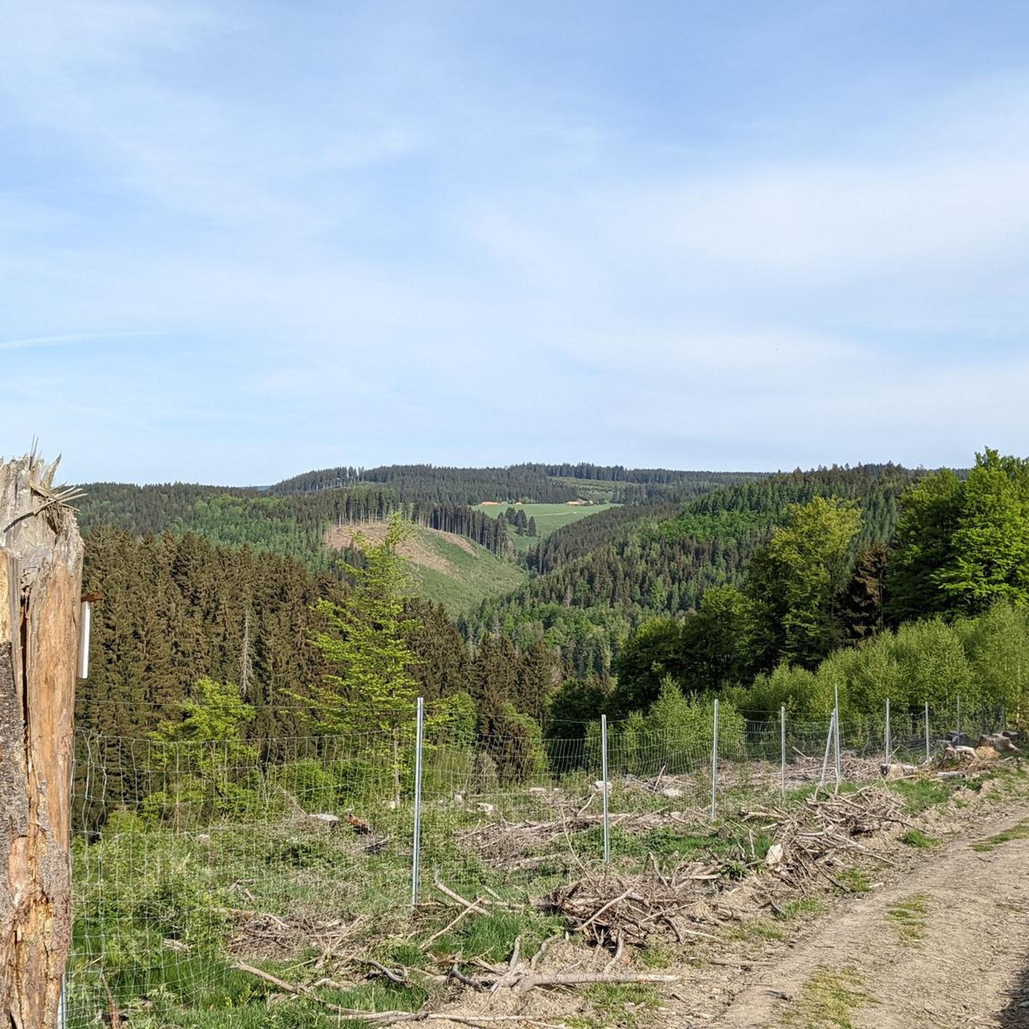
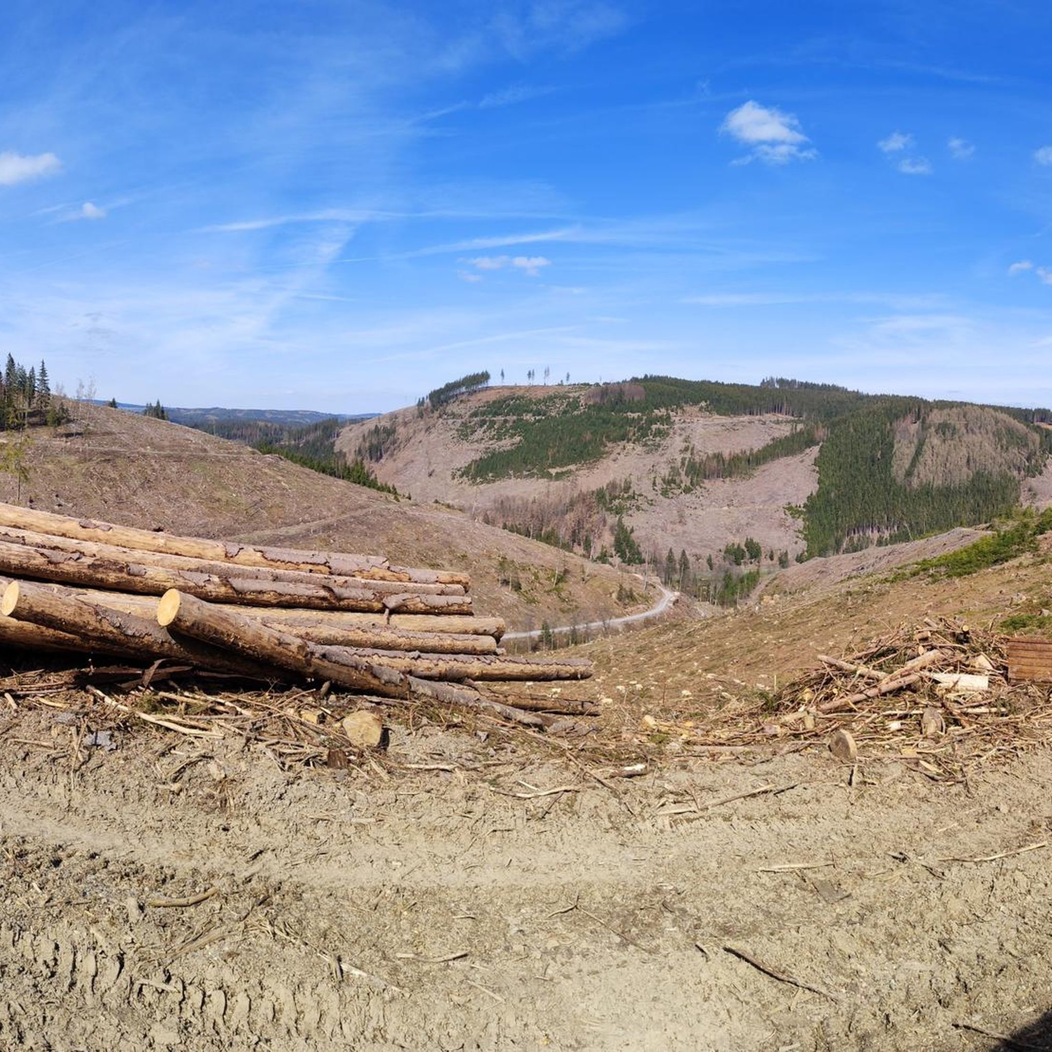
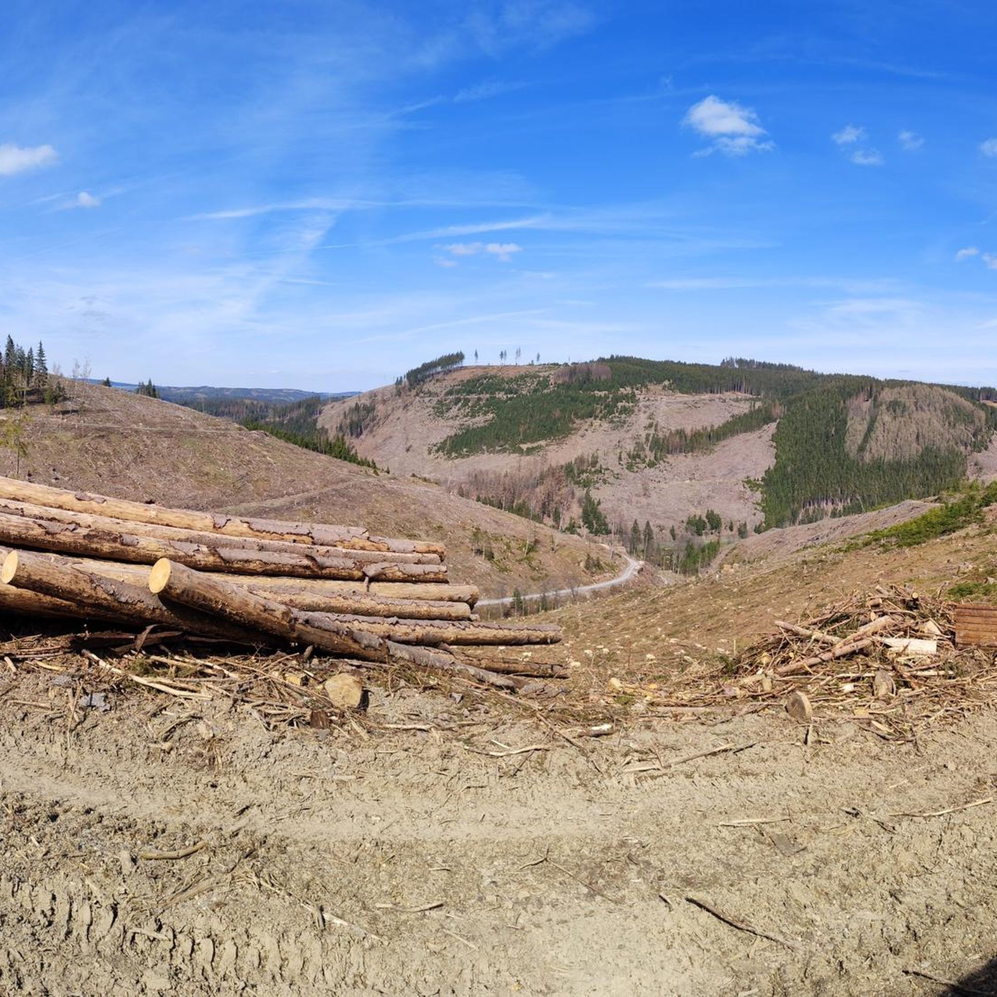
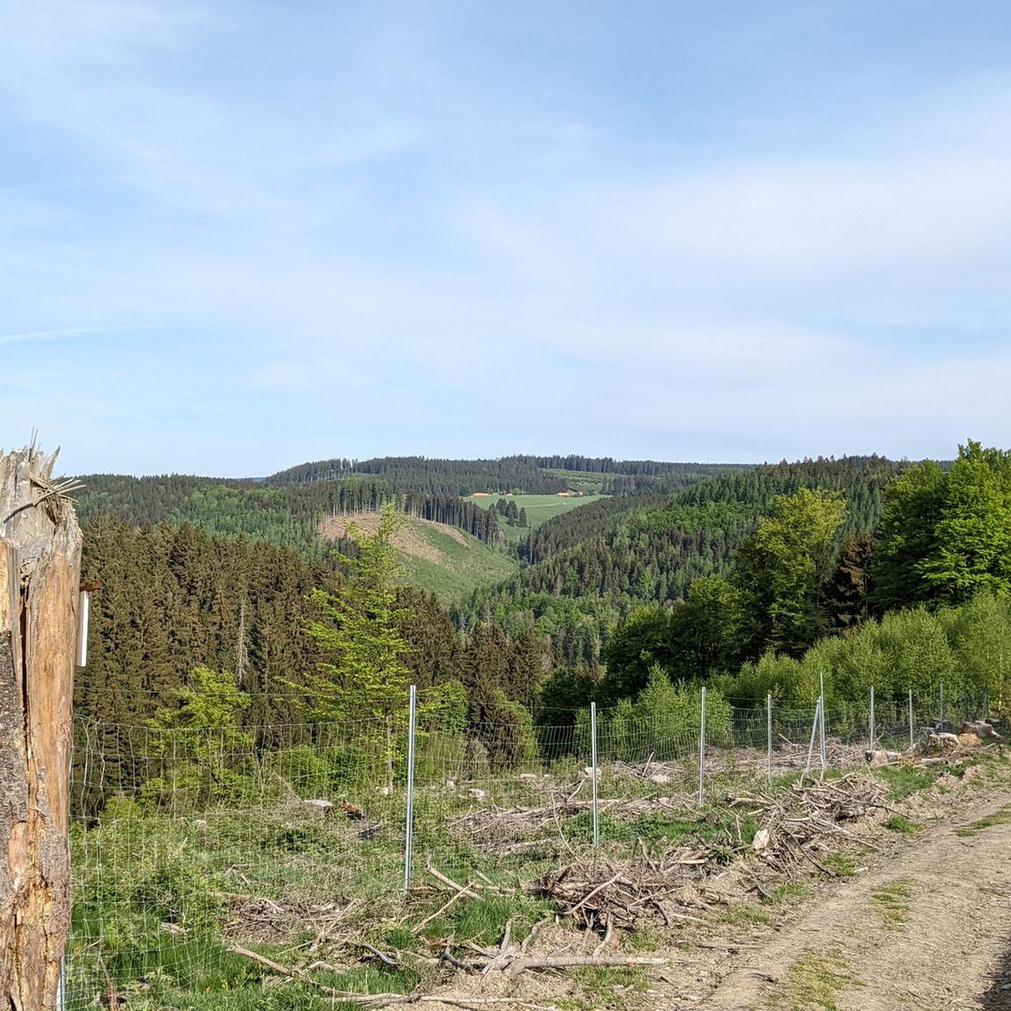

Tips from the Community

the Frauenwald landmark
0
0

Idyllic place, with many small sights to discover
2
0

Here you drive spectacularly under the ICE bridge.
0
0

Bertholdsburg Castle is the most important secular building in southern Thuringia. The castle's origins probably date back to the 13th century.
3
0

The Waldbaude Großer Dreiherrenstein is a rustic restaurant in the Thuringian Forest, located directly on the Rennsteig Trail. It offers a cozy atmosphere and traditional Thuringian specialties, including roasted pork, dumplings, and seasonal dishes. Opening hours: Monday, Friday, Saturday, and Sunday from 11 a.m. to 6 p.m.
0
0

Deer located directly at the "crossroads".
1
0

wonderful view of the country
1
0

Small village with many houses covered with slate.
3
1
Frequently Asked Questions
How many road cycling routes are available in Katzhütte?
Katzhütte offers a wide selection of road cycling routes, with over 115 tours available. These routes cater to various skill levels, including easy, moderate, and difficult options.
What kind of terrain can I expect on road cycling routes around Katzhütte?
The region around Katzhütte, nestled in the northwestern Thuringian Slate Mountains, features diverse terrain. Cyclists can expect dense coniferous forests, rolling hills, and steep mountain meadows. Many routes include challenging ascents and descents, with predominantly paved roads suitable for road bikes.
When is the best time of year for road cycling in Katzhütte?
While specific seasonal recommendations aren't detailed, the varied terrain and natural beauty suggest that spring, summer, and early autumn would be ideal for road cycling in Katzhütte, offering pleasant weather to enjoy the forests and hills. Always check local weather conditions before heading out.
Are there any scenic viewpoints along the road cycling routes in Katzhütte?
Yes, the region boasts several impressive viewpoints. You can enjoy expansive views from the Rennsteigwarte on Eselsberg and the Blessberg Observation Tower. The Meuselbacher Kuppe Observation Tower also offers panoramic views across the Thuringian Forest.
What natural features can I explore while road cycling in Katzhütte?
Katzhütte is rich in natural beauty. The Schwarza Valley is a prominent feature, with the picturesque Schwarza river winding through a gorge. The area is also known for its dense forests, clear mountain streams, and unique geological formations like the 'Katzhütter Schichten' from the Precambrian era.
Are there options for easy road cycling routes in Katzhütte?
Yes, while many routes offer challenges, there is at least one easy road cycling route available in Katzhütte, perfect for those looking for a more relaxed ride. The region's network provides options for all ability levels.
What are some challenging road cycling routes for experienced riders in Katzhütte?
For experienced riders seeking a challenge, Katzhütte offers numerous difficult routes. The region is known for its significant elevation changes and includes routes with 'extremely steep ascents,' such as those found on the 'Katzhütte-Ilmenau-NeustadtRstg-Masserberg-Katzhütte' loop, which covers over 70 km.
What do other road cyclists say about the routes in Katzhütte?
The road cycling routes in Katzhütte are highly regarded by the komoot community, holding an average rating of 4.5 stars from over 50 reviews. More than 1,200 road cyclists have explored the area, often praising the varied terrain and scenic beauty.
Are there any historical or cultural sites near the road cycling routes in Katzhütte?
Yes, beyond the natural landscapes, Katzhütte and its surroundings offer cultural points of interest. The municipality features two churches and a local history museum (Heimatstube). The Oberweißbacher Bergbahn, a unique mountain railway, is also a nearby attraction.
Can you recommend a moderate road cycling route in Katzhütte?
A popular moderate route is the Neustadt am Rennsteig loop from Masserberg. This 31.7 km path offers a balanced ride through the region's characteristic forests and hills, with moderate elevation changes.
Is there a road cycling route that includes a lake or castle?
Yes, the Ratscher Lake – Bertholdsburg Castle loop from Masserberg is a 49.5 km route that leads through diverse scenery, incorporating both Ratscher Lake and Bertholdsburg Castle into its journey.
Are there any routes that offer views of the Rennsteig?
Many routes in the region provide access to or views of the Rennsteig, Germany's oldest long-distance hiking trail. For example, the Metal sculpture in Masserberg – Rennsteighaus Masserberg loop from Masserberg offers a ride through areas connected to this historic trail.
Most popular attractions around Katzhütte

Get inspired with the komoot mobile app


Explore more
Browse the best Road cycling routes in other regions.
