The best walks and hikes around Mont-Lès-Seurre
3.2
(28)
141
hikers
20
hikes
Hiking trails around Mont-Lès-Seurre are situated in the Saône-et-Loire department of eastern-central France, characterized by its position between the Doubs and Saône rivers. The terrain primarily consists of riverine landscapes and plains, with the older village section offering slight elevation. This area provides a blend of accessible forest trails and routes along waterways, contributing to varied hiking experiences.
Best hiking trails around Mont-Lès-Seurre
- The most popular hiking route is Seurre Lock — Canal Bypass – Canal and Lock by the…
Last updated: July 5, 2026
3.0
(8)
55
hikers
Easy hike. Great for any fitness level. Easily-accessible paths. Suitable for all skill levels.
2.0
(2)
7
hikers
5.03km
01:17
10m
10m
Easy hike. Great for any fitness level. Easily-accessible paths. Suitable for all skill levels.

Sign up for free
3.3
(4)
6
hikers
Easy hike. Great for any fitness level. Easily-accessible paths. Suitable for all skill levels.
4
hikers
11.5km
02:55
20m
20m
Moderate hike. Good fitness required. Easily-accessible paths. Suitable for all skill levels.
2
hikers
Moderate hike. Good fitness required. Easily-accessible paths. Suitable for all skill levels.
Get access to more routes and recommendations from other explorers.
Sign up for free
Already have an account?
Our route recommendations are based on thousands of hikes, rides, and runs completed by other people on komoot.
Start today with a free account
Your next adventure awaits.
Login or Signup
Tips from the Community


The Restaurant au Port is located at the old bridgehead. Good French cuisine with additional Vietnamese dishes
2
0

The bleachers are laid out facing the Saône. All you have to do is settle down there to rest for a few moments and enjoy the view of Seurre on the small marina. If you're hot, cool off at the refreshment bar set up on the quays. You can also fill your water bottles at the fountain located just across the road.
3
0
Ideal for sunset in the evening
2
0
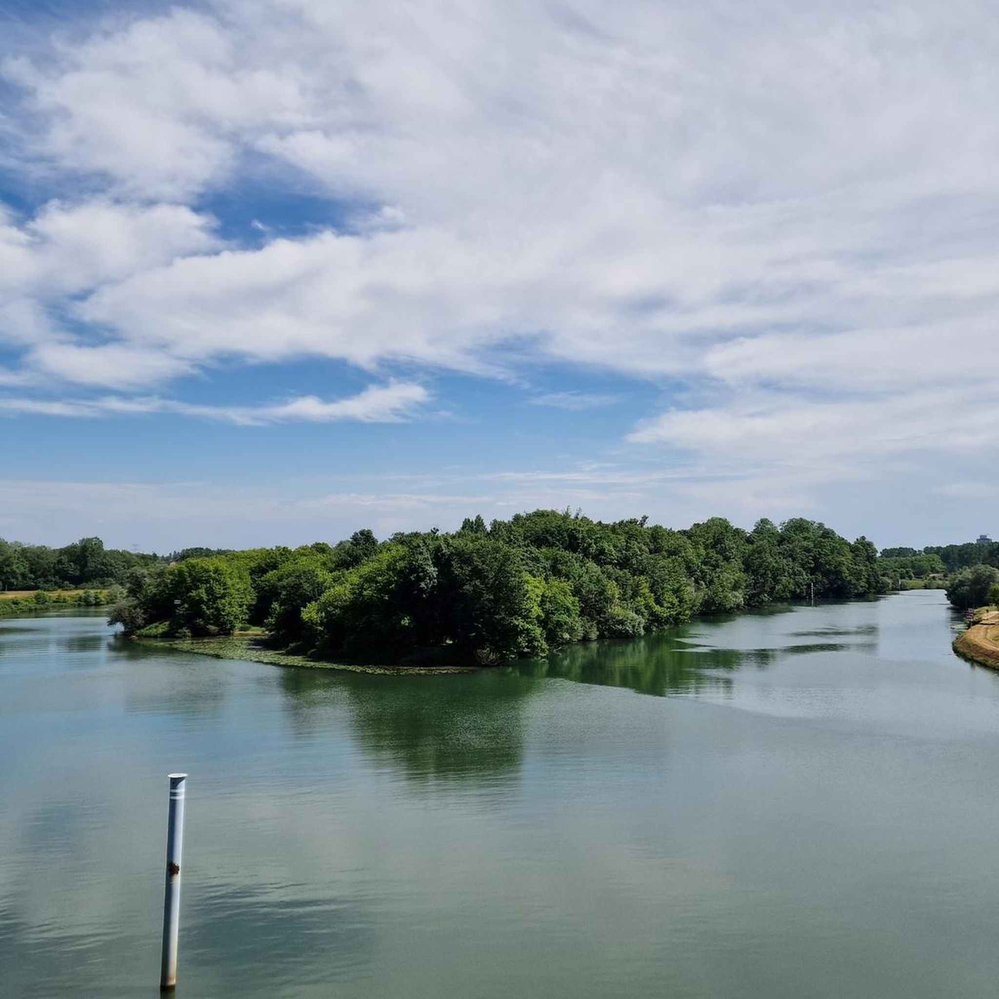
If you're lucky (locks aren't locked that often) you can follow the lock process very nicely from the bridge
1
0


Beautiful new waterfront in Seurre on the Saône.
3
0

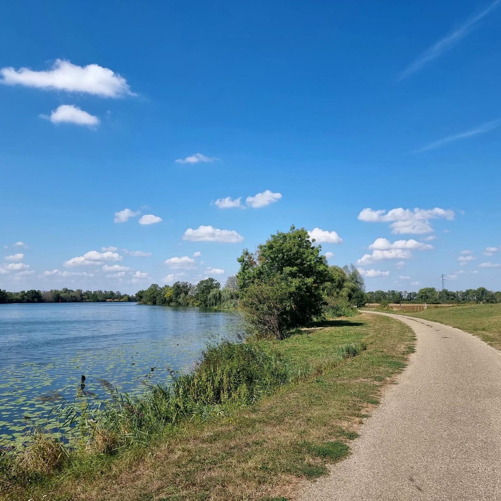
Beautiful bike paths along the Saone.
3
0
Frequently Asked Questions
What kind of terrain can I expect on hikes around Mont-Lès-Seurre?
The hiking trails around Mont-Lès-Seurre are primarily characterized by riverine landscapes and open plains, situated between the Doubs and Saône rivers. You'll find a blend of accessible forest trails and paths that follow waterways, offering varied experiences from gentle strolls along the banks to routes through local woodlands.
How many hiking trails are available in the Mont-Lès-Seurre area?
There are over 15 hiking routes available around Mont-Lès-Seurre, catering to various preferences. The komoot community has mapped a total of 19 tours in the region.
Are there easy hiking options suitable for beginners or casual walkers?
Yes, Mont-Lès-Seurre offers many easy hiking options. Out of the 19 available tours, 16 are rated as easy. A great example is the Quick stop in Seurre loop from Seurre, an easy 5 km path perfect for a shorter, relaxed walk.
What are some notable natural features or landmarks I can see while hiking?
You can explore various natural features and local landmarks. Many routes offer views of the Saône River, and you might encounter highlights like The bleachers along the Saône at Seurre. The region's character is defined by its rivers, plains, and nearby forests, providing a scenic backdrop for your walks. The 'Platane' at the entrance of Mont-Lès-Seurre also offers a pleasant shaded picnic area.
Are there any moderate hiking trails for those seeking a bit more challenge?
Yes, for those looking for a slightly longer or more challenging experience, there are 3 moderate trails available. One such route is the Étang des Communaux loop from Sermesse, which is 11.5 km long and takes approximately 2 hours 55 minutes to complete, offering a good moderate excursion.
What do other hikers say about the trails in Mont-Lès-Seurre?
The trails in Mont-Lès-Seurre are well-regarded by the komoot community, with an average rating of 3.2 stars from over 20 reviews. Hikers often appreciate the peaceful riverine paths and the accessible nature of the routes, making them enjoyable for various activity levels.
Are there any circular hiking routes around Mont-Lès-Seurre?
Yes, many of the trails in the area are circular, allowing you to start and end at the same point. For instance, the Étang des Communaux loop from Sermesse is a moderate circular route, and the Quick stop in Seurre loop from Seurre is an easy circular option.
Can I find trails that are suitable for families with children?
Absolutely. The prevalence of easy, relatively flat trails along rivers and through accessible forests makes many routes in Mont-Lès-Seurre suitable for families. The shorter, easy loops are particularly good for walks with children, offering pleasant scenery without significant elevation changes.
Is there public transport access to the hiking areas around Mont-Lès-Seurre?
While specific public transport details for trailheads are not extensively covered, Mont-Lès-Seurre is a small village. Access to the general area would typically involve regional bus services or personal vehicles. For detailed public transport information to specific starting points, it's advisable to check local transport schedules.
Are there opportunities for wildlife observation on the trails?
Given the region's riverine ecosystems and nearby forests like the Forêt de Citeaux, there are opportunities for wildlife observation. Trails along the Doubs and Saône rivers, and through wooded areas, can offer glimpses of local fauna and diverse birdlife, especially in quieter sections.
What is the best time of year to go hiking in Mont-Lès-Seurre?
The region is generally pleasant for hiking from spring through autumn. Spring brings blooming nature, while autumn offers beautiful foliage. Summer is also suitable, especially for shaded forest paths or riverside walks. Winters can be cold, but some trails may still be accessible depending on conditions.
Are there any trails that follow canals or major waterways?
Yes, the area is known for its proximity to the Doubs and Saône rivers, as well as the Canal du Rhône au Rhin. Many trails, such as the Seurre Lock — Canal Bypass – Canal and Lock by the Saône loop from Seurre, directly follow these waterways, offering scenic views and flat paths ideal for relaxed walking.
Most popular attractions around Mont-Lès-Seurre

Get inspired with the komoot mobile app


Explore more
Browse the best Hikes in other regions.
