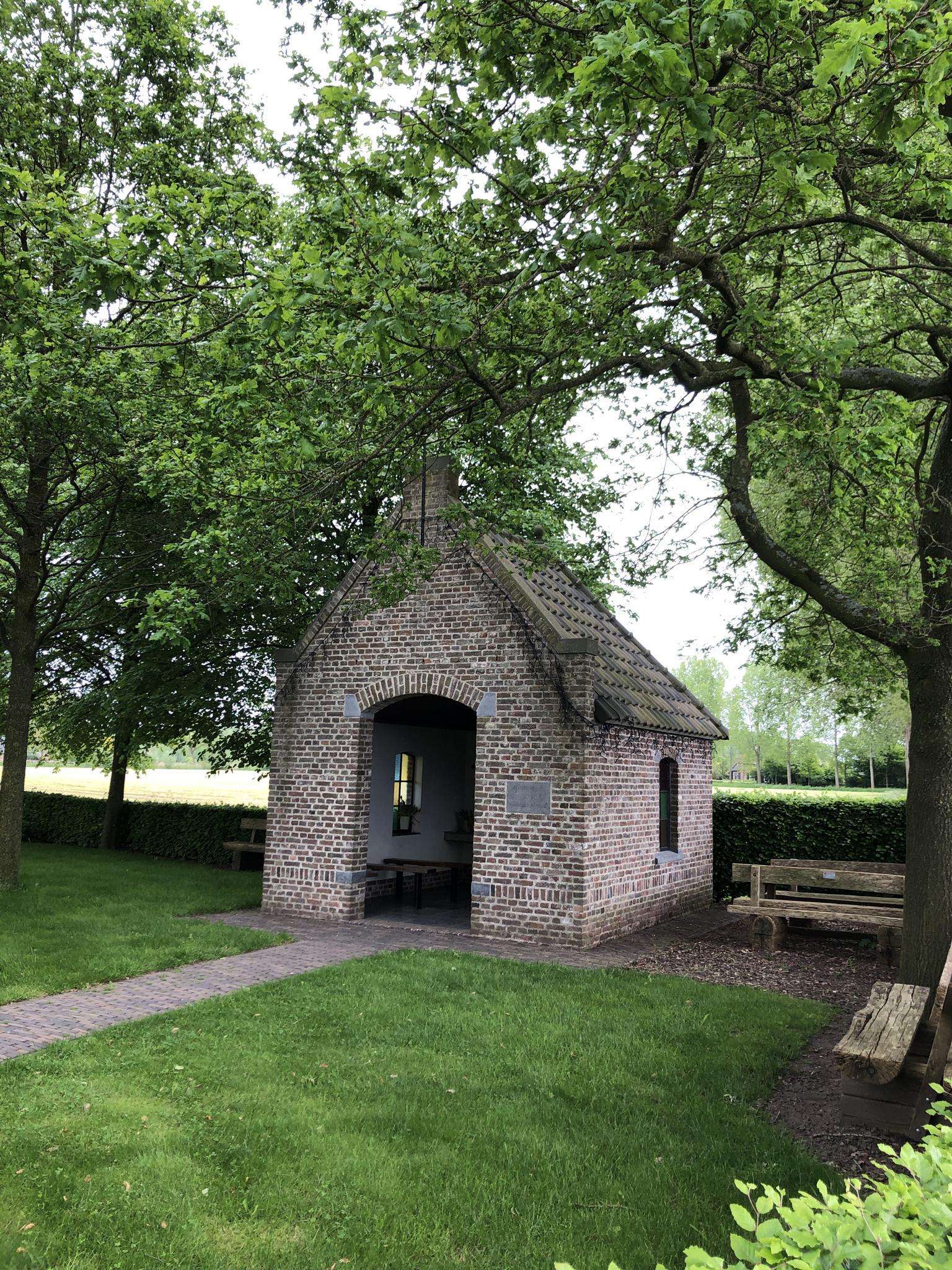
The best running trails around Montagne-Fayel
110
runners
15
runs
Jogging routes around Montagne-Fayel traverse a landscape characterized by gentle rolling terrain and river valleys. The region offers a mix of open countryside paths and routes alongside canals, providing varied scenery for runners. Elevations are generally modest, with some routes featuring slight inclines.
Best jogging routes around Montagne-Fayel
- The most popular jogging route is Running loop from Molliens-Dreuil, a 9.0 miles (14.5 km) trail that takes 1 hour 42 minutes to complete. This moderate route offers a scenic run…
Last updated: July 4, 2026
19
runners
14.5km
01:41
130m
130m
Moderate run. Good fitness required. Mostly paved surfaces. Suitable for all skill levels.
8
runners
15.6km
01:48
150m
150m
Hard run. Very good fitness required. Mostly paved surfaces. Suitable for all skill levels.

Sign up for free
3
runners
7.29km
00:45
30m
30m
Moderate run. Good fitness required. Mostly paved surfaces. Suitable for all skill levels.
3
runners
4.67km
00:29
20m
20m
Easy run. Great for any fitness level. Mostly paved surfaces. Suitable for all skill levels.
2
runners
6.26km
00:39
20m
20m
Moderate run. Good fitness required. Mostly paved surfaces. Suitable for all skill levels.
Get access to more routes and recommendations from other explorers.
Sign up for free
Already have an account?
Our route recommendations are based on thousands of hikes, rides, and runs completed by other people on komoot.
Start today with a free account
Your next adventure awaits.
Login or Signup




Frequently Asked Questions
How many running routes are available around Montagne-Fayel?
There are over 10 dedicated jogging routes around Montagne-Fayel, offering a variety of distances and difficulty levels. More than 100 runners have already explored these trails using komoot.
What kind of terrain can I expect on jogging routes in Montagne-Fayel?
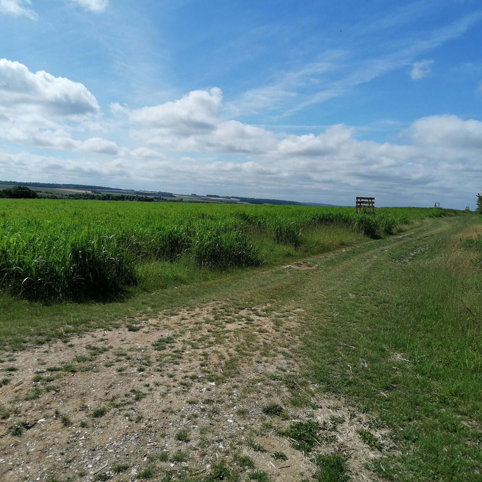
The region features gentle rolling terrain and river valleys. You'll find a mix of open countryside paths and routes alongside canals, providing diverse scenery. Elevations are generally modest, with some routes including slight inclines.
Are there easy jogging routes for beginners in Montagne-Fayel?
Yes, Montagne-Fayel offers 2 easy jogging routes perfect for beginners. These trails typically have minimal elevation gain and are shorter in distance, allowing for a comfortable introduction to running in the area.
Are there challenging running trails for experienced runners?
Absolutely. For experienced runners seeking a challenge, there are 3 difficult running trails. One such route is the Picnic Area by the Canal – Picnic Area loop from Hangest-sur-Somme, which covers 10.7 miles (17.2 km) along canal paths.
Can I find long-distance running trails in Montagne-Fayel?
Yes, several routes cater to longer distances. The Picnic Area by the Canal – Picnic Area loop from Hangest-sur-Somme is 10.7 miles (17.2 km), and the View of the castle loop from Airaines is 9.6 miles (15.6 km), both offering substantial running distances.
Are there circular jogging routes in the area?
Many of the running routes around Montagne-Fayel are circular, allowing you to start and finish at the same point. Examples include the popular Running loop from Molliens-Dreuil and the Picnic Area by the Canal – Picnic Area loop from Bourdon.
What are the options for a 10km run around Montagne-Fayel?
For a run around 10km, consider the Running loop from Molliens-Dreuil, which is 9.0 miles (14.5 km). Another option is the Picnic Area by the Canal – Picnic Area loop from Bourdon, measuring 5.6 miles (9.0 km).
What kind of views or landmarks can I see while jogging?
While jogging, you can enjoy views of the surrounding countryside and canal paths. Notable landmarks in the wider region include historical sites like Chateau Picquigny and Château de Pissy. Some routes also pass by the Picnic Area by the Canal.
Are the jogging routes in Montagne-Fayel suitable for families?
Many of the easy and moderate routes, especially those along canal paths, are suitable for families looking for a gentle jog or walk. The relatively flat terrain and scenic surroundings make for an enjoyable outing.
Are there dog-friendly jogging routes in Montagne-Fayel?
Generally, the open countryside paths and canal-side routes in Montagne-Fayel are suitable for jogging with dogs, provided they are kept under control. Always ensure to follow local regulations regarding pets on trails.
Where can I park for the jogging trails in Montagne-Fayel?
Parking is typically available near the start points of many routes, especially in villages like Molliens-Dreuil or Hangest-sur-Somme, or at designated picnic areas. It's advisable to check specific route details for the most convenient parking options.
What is the best time of year to go jogging in Montagne-Fayel?
Spring and autumn offer pleasant temperatures for jogging, with vibrant natural scenery. Summer can also be enjoyable, especially during cooler mornings or evenings. Winter jogging is possible, but paths may be muddy or slippery after rain or frost.
Are there any routes that offer a viewpoint?
While the region is characterized by gentle terrain, some routes offer elevated sections that provide broader views of the surrounding countryside. The View of the castle loop from Airaines, for instance, includes some elevation and offers scenic perspectives.
Most popular routes around Montagne-Fayel
Most popular attractions around Montagne-Fayel

Get inspired with the komoot mobile app


Explore more
Browse the best Running Trails & Routes in other regions.
