The best walks and hikes around Montagne-Fayel
4.4
(30)
189
hikers
13
hikes
Hiking around Montagne-Fayel provides access to a network of trails through varied landscapes. The region features diverse environments, including forests and pastures, suitable for outdoor activities. These areas offer routes that cater to various skill levels, from easy walks to more challenging paths. The terrain allows for exploration of natural sites and local flora.
Best hiking trails around Montagne-Fayel
- The most popular hiking route is Marais des Cavins — loop from Hangest-sur-Somme, an easy 4.0 miles (6.5 km) trail…
Last updated: July 4, 2026
4.3
(4)
23
hikers
6.53km
01:39
10m
10m
Easy hike. Great for any fitness level. Easily-accessible paths. Suitable for all skill levels.
4.7
(3)
28
hikers
5.45km
01:23
10m
10m
Easy hike. Great for any fitness level. Easily-accessible paths. Suitable for all skill levels.

Sign up for free
4.0
(2)
26
hikers
Easy hike. Great for any fitness level. Easily-accessible paths. Suitable for all skill levels.
3.7
(3)
13
hikers
10.4km
02:43
80m
80m
Moderate hike. Good fitness required. Easily-accessible paths. Suitable for all skill levels.
4.0
(1)
7
hikers
16.9km
04:24
120m
120m
Moderate hike. Good fitness required. Easily-accessible paths. Suitable for all skill levels.
Get access to more routes and recommendations from other explorers.
Sign up for free
Already have an account?
Our route recommendations are based on thousands of hikes, rides, and runs completed by other people on komoot.
Start today with a free account
Your next adventure awaits.
Login or Signup



Tips from the Community

Not far from here (1.2 km), on the outskirts of Bourdon, there is a large military cemetery for German soldiers who fell here on the Somme in heavy fighting (including the Battle of Abbeville in early June 1940).
2
0


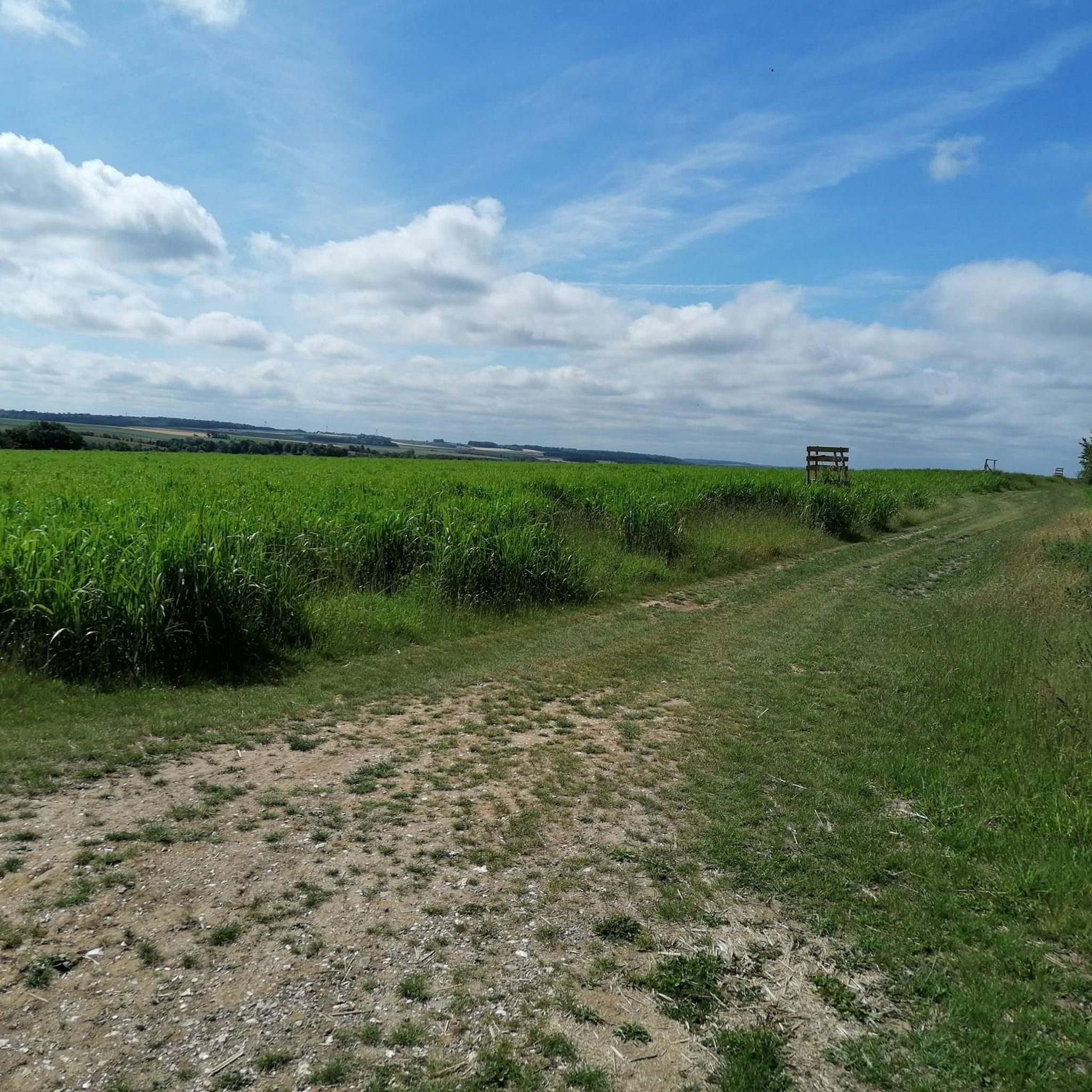
At this picnic area by the canal, you can relax and admire the landscape.
4
0
The Marais des Cavins is a 22-hectare natural site which is home to a variety of habitats, plants and animals. You can explore wetlands, floating rafts, wooded areas and ponds, where you may be able to spot the rare great bittern or water fern. The Marais des Cavins is also a place of cultural interest, with this plan which inspired the novel En Famille by Hector Malot, the story of a young orphan who lives with her grandparents in the marsh. Enjoy the beauty and tranquility of this unique ecosystem in the heart of the Somme valley.
2
0
Frequently Asked Questions
How many hiking trails are available around Montagne-Fayel?
Montagne-Fayel offers a network of over 15 hiking trails, providing diverse options for outdoor enthusiasts. These routes cater to various skill levels, from easy walks to more challenging paths.
What types of landscapes can I expect to see while hiking in Montagne-Fayel?
The region around Montagne-Fayel is characterized by varied landscapes, including forests and pastures. You'll find diverse environments that allow for exploration of natural sites and local flora, typical of mountainous regions in France.
Are there any easy hiking routes suitable for beginners or casual walkers?
Yes, there are several easy routes perfect for beginners. For instance, the Marais des Cavins — loop from Hangest-sur-Somme is an easy 4.0-mile (6.5 km) trail, and the Picnic Area by the Canal – Picnic loop from Hangest-sur-Somme is another easy 3.4-mile (5.4 km) option offering views of the canal.
What are some points of interest or landmarks I can explore near the hiking trails?
While hiking in the Montagne-Fayel area, you can discover several historical landmarks. Notable attractions include the impressive Chateau Picquigny, Château de Pissy, and Château de Dromesnil, offering glimpses into the region's rich heritage.
Are there any circular walks in the Montagne-Fayel area?
Yes, many of the trails in Montagne-Fayel are designed as circular routes, allowing you to start and end at the same point. An example is the Hangest-sur-Somme loop from Yzeux, which is a moderate 6.5-mile (10.4 km) trail.
What is the best time of year to go hiking in Montagne-Fayel?
The best time to hike in Montagne-Fayel, like many French mountainous regions, is typically from spring through autumn. These seasons offer pleasant weather conditions for exploring the diverse landscapes, from lush forests to open pastures.
What do other hikers enjoy most about hiking in Montagne-Fayel?
The hiking routes in Montagne-Fayel are highly rated by the komoot community, with an average score of 4.4 stars from over 20 reviews. Hikers often praise the varied terrain, the sense of freedom, and the opportunities to discover local flora and fauna.
Are there any moderate trails for hikers looking for a bit more challenge?
Yes, Montagne-Fayel offers several moderate trails. The Picnic Area by the Canal – Picnic Area loop from Hangest-sur-Somme is a moderate 6.5-mile (10.5 km) route that provides a good balance of distance and varied terrain.
Is parking available at the trailheads in Montagne-Fayel?
While specific parking details for every trailhead are not always listed, it is common for hiking areas in France to have designated parking near popular starting points. We recommend checking individual route descriptions on komoot for precise parking information.
Can I find information about the terrain and elevation gain for the trails?
Yes, komoot provides detailed information for each route, including distance, duration, and elevation gain. For example, the Hangest-sur-Somme loop from Yzeux has an elevation gain of approximately 80 meters, giving you an idea of the terrain's challenge.
Are there any trails that pass by water features, such as canals or rivers?
Yes, some trails offer views of water features. The Picnic Area by the Canal – Picnic loop from Hangest-sur-Somme, for instance, provides scenic views of the canal and surrounding green spaces.
Most popular routes around Montagne-Fayel
Most popular attractions around Montagne-Fayel

Get inspired with the komoot mobile app


Explore more
Browse the best Hikes in other regions.
