The best walks and hikes around Angirey
5.0
(10)
124
hikers
35
hikes
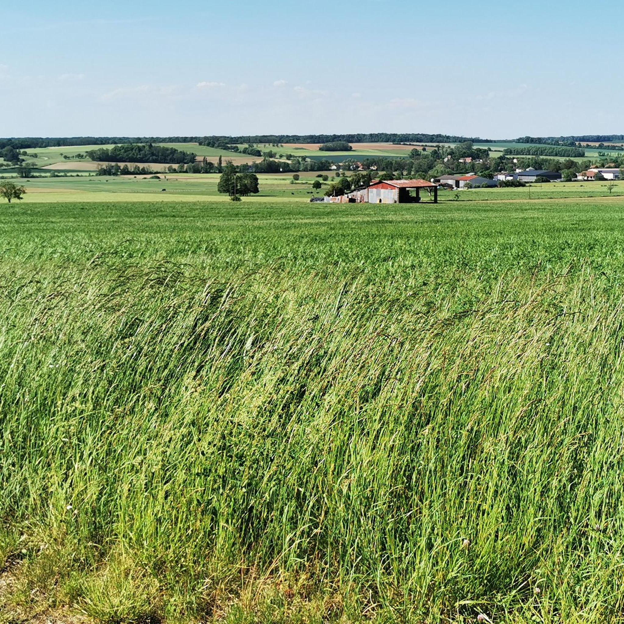
Hiking around Angirey offers routes through varied terrain, characterized by rolling hills and open grasslands. The area features a mix of natural landscapes and historical sites, providing diverse options for exploration. Trails often include gentle ascents and descents, suitable for different hiking abilities.
Best hiking trails around Angirey
- The most popular hiking route is Grasslands loop, a moderate 7.5 miles (12.1 km) trail that takes 3 hours 33 minutes to complete. This route explores open grasslands with gentle elevation…
Last updated: July 2, 2026
19
hikers
11.0km
03:07
240m
240m
Moderate hike. Good fitness required. Easily-accessible paths. Suitable for all skill levels.
5.0
(1)
3
hikers
4.32km
01:16
120m
120m
Easy hike. Great for any fitness level. Easily-accessible paths. Suitable for all skill levels.

Sign up for free
4
hikers
9.70km
02:41
170m
180m
Moderate hike. Good fitness required. Easily-accessible paths. Suitable for all skill levels.
2
hikers
6.75km
01:55
160m
160m
Easy hike. Great for any fitness level. Easily-accessible paths. Suitable for all skill levels.
4
hikers
9.63km
02:40
170m
170m
Moderate hike. Good fitness required. Easily-accessible paths. Suitable for all skill levels.
Get access to more routes and recommendations from other explorers.
Sign up for free
Already have an account?
Our route recommendations are based on thousands of hikes, rides, and runs completed by other people on komoot.
Start today with a free account
Your next adventure awaits.
Login or Signup

Frequently Asked Questions
How many hiking trails are available around Angirey?
Angirey offers a wide selection of hiking routes, with over 40 trails recorded on komoot. These range from easy strolls to more challenging moderate hikes, providing diverse options for exploration.
Are there easy hiking routes suitable for beginners in Angirey?
Yes, Angirey has several easy hiking routes perfect for beginners or those looking for a relaxed walk. There are 9 easy trails available, such as the Saint-Symphorien Church of Gy loop from Gy, which is 4.3 km long and takes about 1 hour 15 minutes to complete.
What kind of terrain can I expect on hikes around Angirey?
Hiking around Angirey is characterized by rolling hills and open grasslands. Trails often feature gentle ascents and descents, passing through a mix of natural landscapes and historical sites, offering varied scenery.
Are there any long-distance hiking options near Angirey?
While Angirey primarily features day hikes, many routes can be combined or extended. For example, the Grasslands loop covers 12.1 km, offering a longer experience through open terrain.
What are some interesting landmarks or attractions to see while hiking in Angirey?
The region around Angirey features several points of interest. You might encounter historical sites like Gy Castle or natural features such as the Vereux Diversion. Other notable spots include the Savoyeux Tunnel and the charming settlement of Seveux-Motey.
Are there circular walking routes available in Angirey?
Yes, many of the hiking trails around Angirey are circular, allowing you to start and end at the same point. An example is the Charcenne loop from Charcenne, a moderate 11.7 km route.
Can I find family-friendly hikes in Angirey?
Absolutely. Angirey offers several routes suitable for families, especially the easier trails with gentle gradients. These paths often lead through pleasant villages and fields, providing an enjoyable experience for all ages.
What do other hikers say about the trails in Angirey?
The hiking routes in Angirey are highly regarded by the komoot community, holding an average rating of 4.9 out of 5 stars. Hikers often praise the well-maintained paths, the peaceful atmosphere, and the scenic views across the grasslands and historical sites.
Are there any advanced or difficult hiking trails in Angirey?
While most trails in Angirey are easy to moderate, there are a couple of routes classified as difficult for those seeking a greater challenge. These trails typically feature more significant elevation changes or longer distances.
Is public transport available to reach hiking trailheads in Angirey?
Public transport options directly to specific trailheads in Angirey may be limited. It is advisable to check local bus schedules or consider driving to access the starting points of the hikes.
Where can I park when hiking in Angirey?
Parking availability varies by trailhead. Many villages and towns near popular routes, such as Gy or Charcenne, offer public parking areas. It's recommended to check specific route details on komoot for parking information near your chosen starting point.
What is the best time of year to hike in Angirey?
Spring and autumn are generally ideal for hiking in Angirey, offering pleasant temperatures and beautiful scenery as the landscape changes. Summer can also be enjoyable, though it's best to start early to avoid the midday heat. Winter hikes are possible but require appropriate gear for colder conditions.
Most popular attractions around Angirey

Get inspired with the komoot mobile app


Explore more
Browse the best Hikes in other regions.
