The best walks and hikes around Saint-Merd-La-Breuille
4.5
(5)
39
hikers
8
hikes
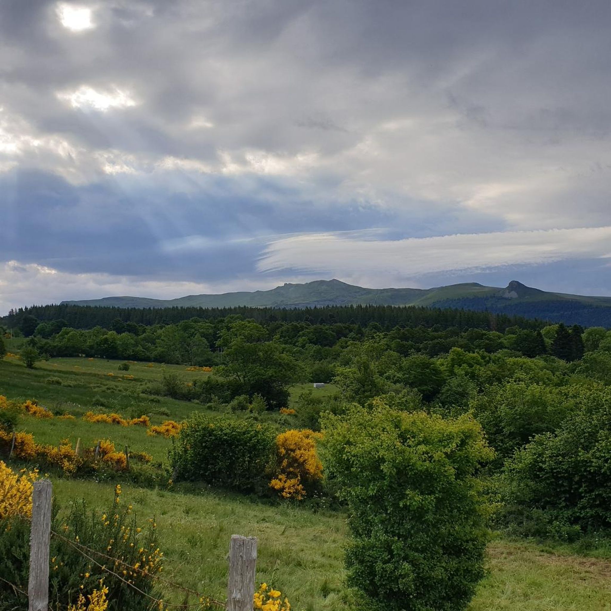
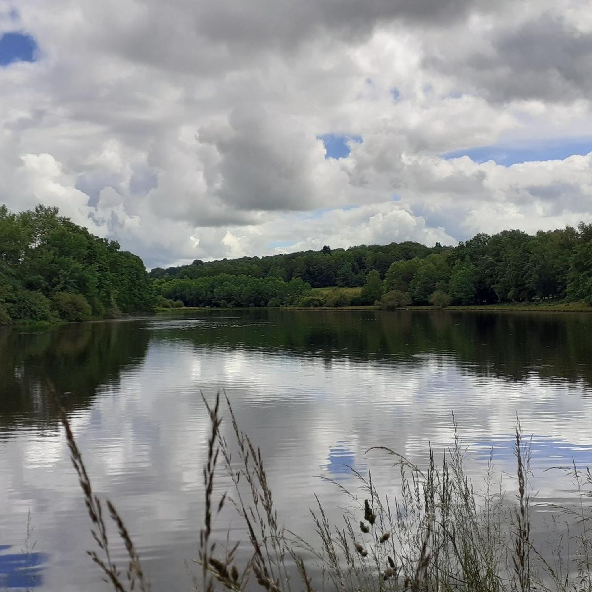
Hiking around Saint-Merd-La-Breuille offers access to diverse natural landscapes within the Millevaches Regional Natural Park. The terrain is characterized by streams, ponds, and peat bogs, alongside bocage environments and woodlands. Elevated points provide views of the Sancy Massif and the Chaîne des Puys. This area provides varied hiking opportunities across its well-preserved natural features.
Best hiking trails around Saint-Merd-La-Breuille
- The most popular hiking route is Puy du Gitou loop from Camping de la Ramade, a 6.9 miles (11.2 km)…
Last updated: July 1, 2026
4.0
(2)
7
hikers
12.9km
03:26
140m
140m
Moderate hike. Good fitness required. Easily-accessible paths. Suitable for all skill levels.
5.0
(1)
10
hikers
15.7km
04:13
180m
180m
Moderate hike. Good fitness required. Easily-accessible paths. Suitable for all skill levels.

Sign up for free
5.0
(1)
10
hikers
Moderate hike. Good fitness required. Easily-accessible paths. Suitable for all skill levels.
4
hikers
5.89km
01:36
90m
90m
Easy hike. Great for any fitness level. Easily-accessible paths. Suitable for all skill levels.
2
hikers
5.26km
01:23
50m
50m
Easy hike. Great for any fitness level. Easily-accessible paths. Suitable for all skill levels.
Get access to more routes and recommendations from other explorers.
Sign up for free
Already have an account?
Our route recommendations are based on thousands of hikes, rides, and runs completed by other people on komoot.
Start today with a free account
Your next adventure awaits.
Login or Signup

Frequently Asked Questions
How many hiking trails are available around Saint-Merd-La-Breuille?
There are over 15 hiking routes documented on komoot for the Saint-Merd-La-Breuille area, offering a variety of experiences within the Millevaches Regional Natural Park. These range from easy strolls to more moderate excursions.
Are there any family-friendly hiking options in Saint-Merd-La-Breuille?
Yes, the region offers several trails suitable for families. Many routes wind through gentle bocage landscapes, woodlands, and past ponds, providing pleasant and accessible walks. While specific 'easy' routes aren't highlighted here, the overall terrain includes options for various fitness levels.
Can I bring my dog on the hiking trails in Saint-Merd-La-Breuille?
Most natural trails in the Millevaches Regional Natural Park are generally dog-friendly, especially if kept on a leash to protect local wildlife and livestock. It's always recommended to check specific trail regulations or local signage, particularly in protected areas like Natura 2000 sites, to ensure a pleasant experience for everyone.
Are there circular hiking routes available in the area?
Yes, many of the trails around Saint-Merd-La-Breuille are designed as circular routes, allowing you to start and end at the same point. For example, the Puy du Gitou loop from Camping de la Ramade is a popular moderate circular hike.
What kind of landscapes can I expect to see while hiking here?
Hiking around Saint-Merd-La-Breuille offers a diverse range of natural landscapes. You'll encounter rich aquatic environments with streams, ponds, and peat bogs, alongside traditional bocage (hedged farmland) and woodlands. Elevated points like the Puy de la Garde and Butte du Puy Saint-Gulmier provide panoramic views of the distant Sancy Massif and the Chaîne des Puys.
Are there any challenging hikes for experienced hikers?
While the majority of routes in Saint-Merd-La-Breuille are rated as moderate, offering good distances and elevation changes, there are no trails specifically classified as 'difficult' on komoot. However, longer moderate routes like the Étang de l'Abeille loop from Eygurande (over 16 km) can provide a good challenge for experienced hikers.
What is the best season for hiking in Saint-Merd-La-Breuille?
The region is beautiful throughout the year, but spring and autumn are particularly pleasant for hiking. Spring brings lush greenery and blooming wildflowers, while autumn offers vibrant foliage. Summer is also suitable, though some trails might be more exposed to the sun. Winter hiking is possible, but trails can be muddy or icy, requiring appropriate gear.
What do other hikers enjoy most about hiking in Saint-Merd-La-Breuille?
The area is highly rated by the komoot community, with an average score of 4.5 stars. Hikers often praise the quiet, well-preserved natural environment, the varied landscapes of streams and woodlands, and the sense of tranquility found on the trails within the Millevaches Regional Natural Park.
Are there any notable natural attractions or landmarks to see along the trails?
Yes, the region is rich in natural features. You can explore the Vallée de la Méouzette with its charming stone bridges and the Saint-Clair Chapel, or enjoy panoramic views from the Puy Saint-Gulmier. The Hautefeuille Track leads to the former Château d'Hautefeuille and the Puy de la Garde, offering expansive vistas. The area is also part of the Millevaches Regional Natural Park, known for its legendary stones, peat bogs, and diverse ecosystems.
Are there opportunities for wild swimming near the hiking routes?
The region is characterized by numerous streams, ponds, and peat bogs. While these create beautiful aquatic environments, designated wild swimming spots are not explicitly highlighted for safety and environmental reasons. For official swimming, nearby lakes like Lac de Vassivière offer supervised beaches and activities. You can find more information about natural sites in the Creuse department at tourisme-creuse.com.
Where can I find parking for the hiking trails?
Many hiking routes in Saint-Merd-La-Breuille, especially those starting from villages or specific points of interest, typically have designated parking areas. For example, the Puy du Gitou loop starts from Camping de la Ramade, which likely offers parking facilities. Always check the tour details on komoot for specific starting points and parking information.
Are there any longer distance hiking routes in the Saint-Merd-La-Breuille area?
While Saint-Merd-La-Breuille is known for its day hikes, some routes offer a more extended experience. For instance, the Saint-Barthélémy Church – Motte Castrale de Giat loop from Giat covers nearly 16 km, taking over 4 hours to complete. The region's location within the vast Millevaches Regional Natural Park also means it connects to a wider network of trails for multi-day adventures, though these would typically involve linking several shorter routes.
Most popular routes around Saint-Merd-La-Breuille

Get inspired with the komoot mobile app


Explore more
Browse the best Hikes in other regions.
