The best cycling routes around Saint-Merd-La-Breuille
30
riders
10
rides
Touring cycling around Saint-Merd-La-Breuille, located in the Creuse department, offers diverse landscapes and varied terrain. The area is characterized by winding roads, rivers like the Méouzette and Ramade, and designated wetland areas. Elevations within the commune range from 717 meters to 846 meters, ensuring engaging rides through a mix of meadows and woodlands.
Best touring cycling routes around Saint-Merd-La-Breuille
- The most popular touring cycling route is Bike loop from Eygurande - Merlines, a 16.9 miles (27.2 km) trail that…
Last updated: July 6, 2026
7
riders
27.2km
01:47
400m
400m
Moderate bike ride. Good fitness required. Mostly paved surfaces. Suitable for all skill levels.
6
riders
14.5km
01:08
240m
240m
Moderate bike ride. Good fitness required. Mostly paved surfaces. Suitable for all skill levels.

Sign up for free
3
riders
28.7km
01:55
440m
440m
Moderate bike ride. Good fitness required. Mostly paved surfaces. Suitable for all skill levels.
4
riders
53.1km
03:24
660m
670m
Hard bike ride. Very good fitness required. Mostly paved surfaces. Suitable for all skill levels.
3
riders
8.84km
00:39
130m
130m
Easy bike ride. Great for any fitness level. Mostly paved surfaces. Suitable for all skill levels.
Get access to more routes and recommendations from other explorers.
Sign up for free
Already have an account?
Our route recommendations are based on thousands of hikes, rides, and runs completed by other people on komoot.
Start today with a free account
Your next adventure awaits.
Login or Signup

Tips from the Community

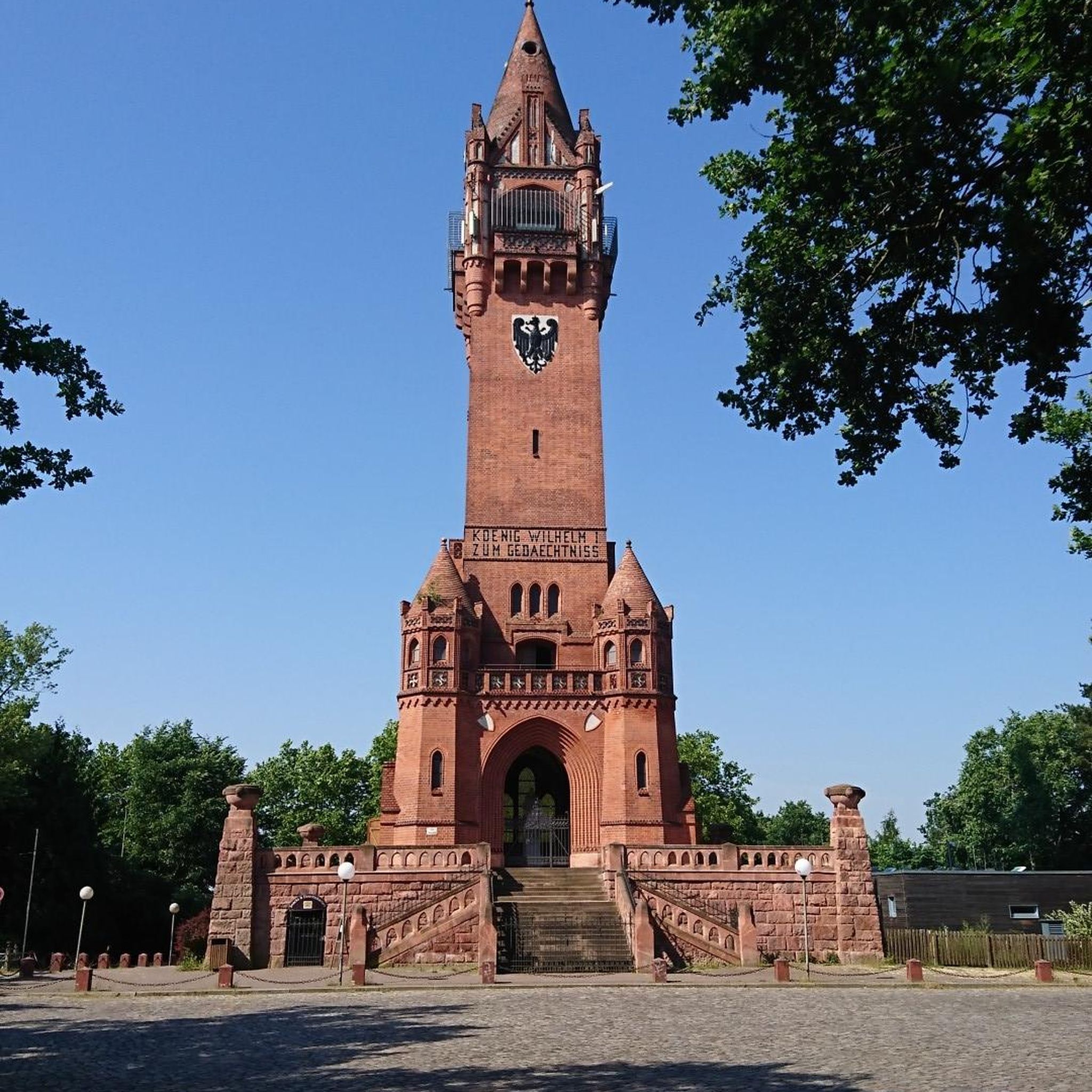
Extraordinary panoramic view of the Puy chain to the Cantal mountains
0
0

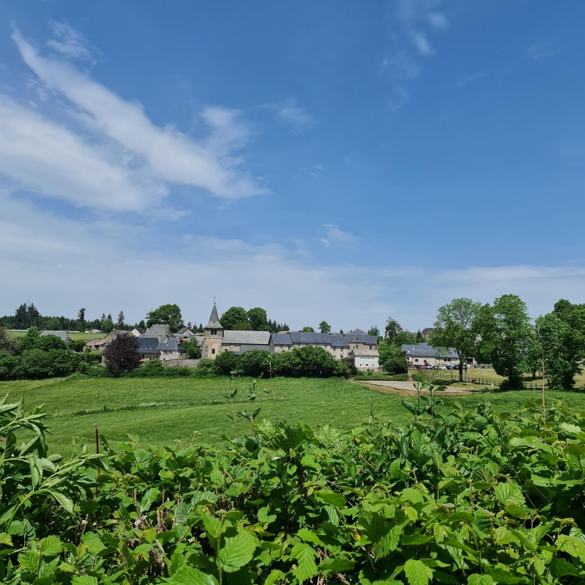
Building from the end of the 13th century. Originally, the building had a nave of two square vaulted bays, a transept, a choir and two small chapels on the arms of the transept. After a fire in 1472, two aisles were added, along with a small chapel at the north end of the transept.
0
0

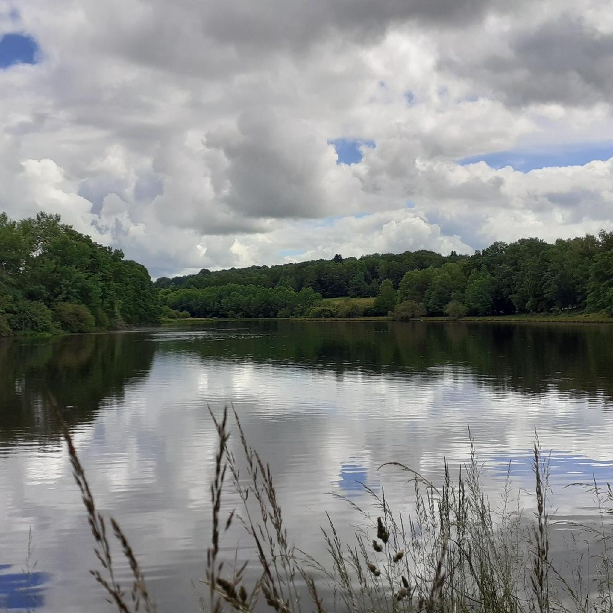
along this pretty track, a magnificent pond, where you can stop at pic nicer, with a solar farm lost in the woods
0
0
Frequently Asked Questions
What kind of terrain can I expect on touring cycling routes around Saint-Merd-La-Breuille?
The region offers diverse landscapes, characterized by winding roads, rivers like the Méouzette and Ramade, and designated wetland areas. You'll encounter varied elevation, ranging from 717 meters to 846 meters within the commune, ensuring engaging rides through a mix of meadows and woodlands, typical of the Combrailles region.
Are there any circular touring cycling routes available?
Yes, many routes in the area are designed as loops. For example, you can explore the Bike loop from Eygurande - Merlines, a 27.2 km trail, or the Puy du Vareyron loop from Lamazière-Haute, which is 14.5 km. Another option is the Shelter – Shelter loop from La Courtine, covering 28.7 km through natural wetlands.
What is the best time of year for touring cycling in the Creuse region?
The Creuse region, including Saint-Merd-La-Breuille, is generally best enjoyed for cycling during the warmer months, from spring through early autumn. This period offers pleasant weather conditions for exploring the varied terrain, forests, and waterways. Winter cycling options might be limited due to colder temperatures and potential for less favorable conditions.
Are there any family-friendly touring cycling routes near Saint-Merd-La-Breuille?
While specific 'easy' routes are not highlighted in the data, the region offers loops ranging from 15 to 35 km with varied terrain. Routes like the Puy du Vareyron loop from Lamazière-Haute, at 14.5 km with moderate difficulty, could be suitable for families with some cycling experience, winding through meadows and woodlands.
What kind of natural attractions or viewpoints can I expect along the routes?
The area is rich in natural beauty. You'll find routes crossing the Méouzette and Ramade rivers, and passing through significant wetland areas. Elevations like the Puy de Faux and the Butte du Puy Saint-Gulmier offer panoramic views of the Sancy massif, the Chaîne des Puys, and the Combrailles, providing stunning vistas during your ride.
Are there any cultural or historical sites to explore near the cycling routes?
Yes, within Saint-Merd-La-Breuille itself, you can visit local heritage sites such as the Chapel of Besth, the Saint-Médard Church, and the Besth fountain and washhouse. Within a reasonable cycling distance, you might also find impressive Romanesque architecture in churches in Orcival and Saint-Nectaire, or the Chateau de Murol.
How many touring cycling routes are available around Saint-Merd-La-Breuille?
There are approximately 9 touring cycling routes documented around Saint-Merd-La-Breuille on komoot. These routes offer a range of experiences, including 6 moderate and 3 difficult options, catering to different skill levels.
What do other touring cyclists enjoy most about cycling in Saint-Merd-La-Breuille?
More than 20 touring cyclists have explored this region using komoot. They often praise the varied terrain, winding roads, and the natural environment of rivers and wetlands. The mix of meadows and woodlands also contributes to a tranquil and engaging cycling experience.
Are there options for longer or more challenging touring cycling routes?
Yes, for those seeking a greater challenge, there are several difficult routes. The Ussel church – Lake Ponty loop from La Courtine is a substantial 53.2 km route with significant elevation gain, and the Bike loop from Courteix covers 32.9 km, both classified as difficult.
Where can I find information about public transport or parking for cyclists in Saint-Merd-La-Breuille?
Information specific to public transport options for cyclists directly to Saint-Merd-La-Breuille is limited. For parking, it's generally advisable to look for designated parking areas within the commune or at the start points of specific routes. Local tourist information centers, such as those in the wider Creuse region, may offer more detailed advice on transport and parking facilities.
Are there any lakes or significant water bodies to visit while cycling?
The region is known for its waterways, including the Méouzette and Ramade rivers, and various ponds and peat bogs. A significant attraction within a reasonable cycling distance is Lake Vassivière, a popular leisure lake that can complement an outdoor itinerary. For more details on Lake Vassivière, you can visit tourisme-creuse.com.
Most popular routes around Saint-Merd-La-Breuille

Get inspired with the komoot mobile app


Explore more
Browse the best Cycling routes in other regions.
