The best mountain hikes around Börsch
5.0
(1)
7
hikers
3
hikes
Mountaineering routes around Börsch are situated in the picturesque Alsatian piedmont, offering access to the foothills of the Vosges Mountains. The region is characterized by rolling hills, dense forests, and vineyards, with notable features like Mont Sainte-Odile providing elevated terrain. Streams such as the Ehn and Magel traverse the landscape, contributing to varied natural environments suitable for outdoor exploration.
Best mountaineering routes around Börsch
- The most popular mountaineering route is Mont Sainte-Odile Abbey – Mount Sainte-Odile loop from Ottrott,…
Last updated: June 28, 2026
4
hikers
13.4km
04:16
540m
540m
Moderate mountaineering route. Good fitness required. Easily-accessible paths. Suitable for all skill levels.
5.0
(1)
2
hikers
9.44km
03:03
420m
420m
Moderate mountaineering route. Good fitness required. Easily-accessible paths. Suitable for all skill levels.

Sign up for free
1
hikers
Moderate mountaineering route. Good fitness required. Mostly accessible paths. Sure-footedness required.
Our route recommendations are based on thousands of hikes, rides, and runs completed by other people on komoot.
Start today with a free account
Your next adventure awaits.
Login or Signup
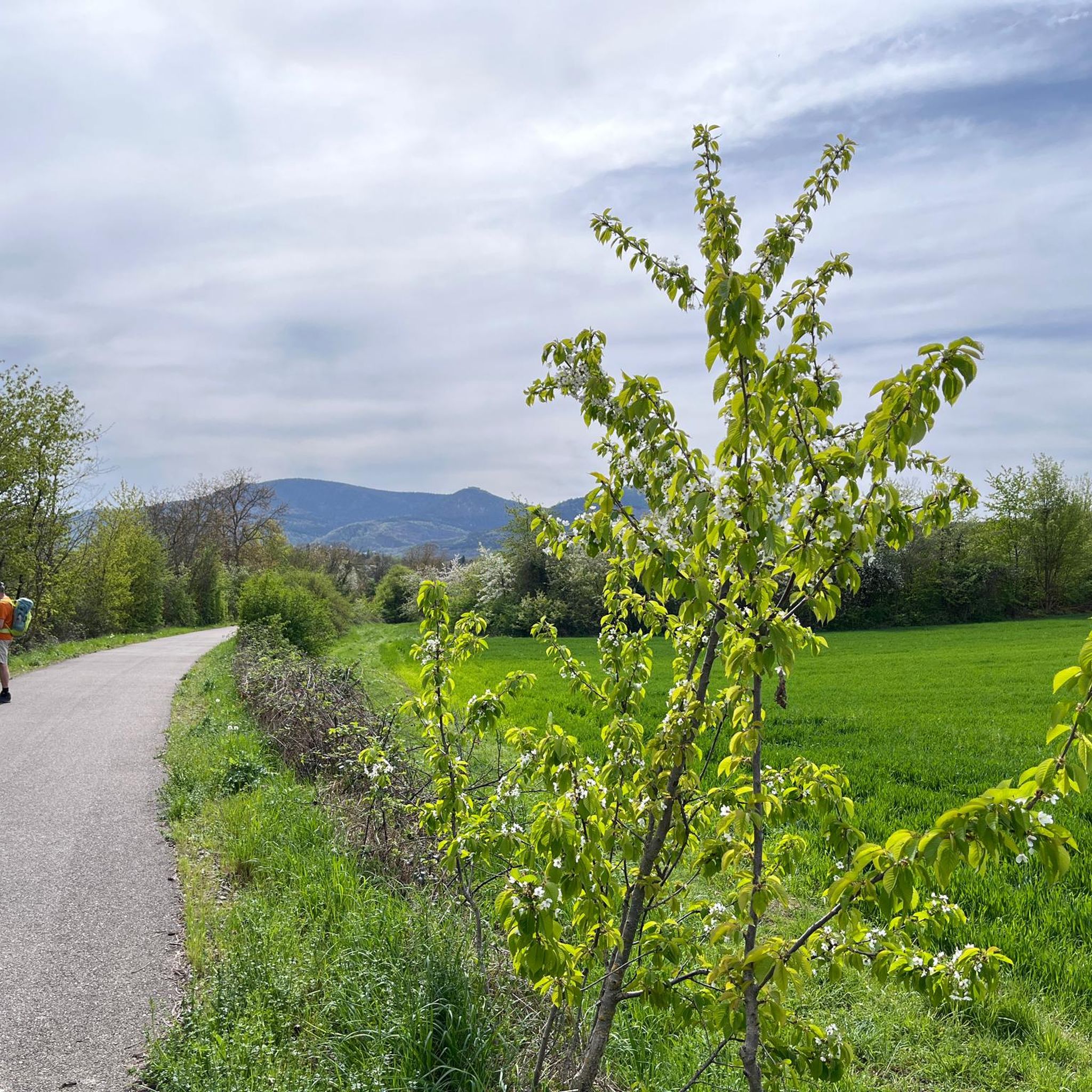
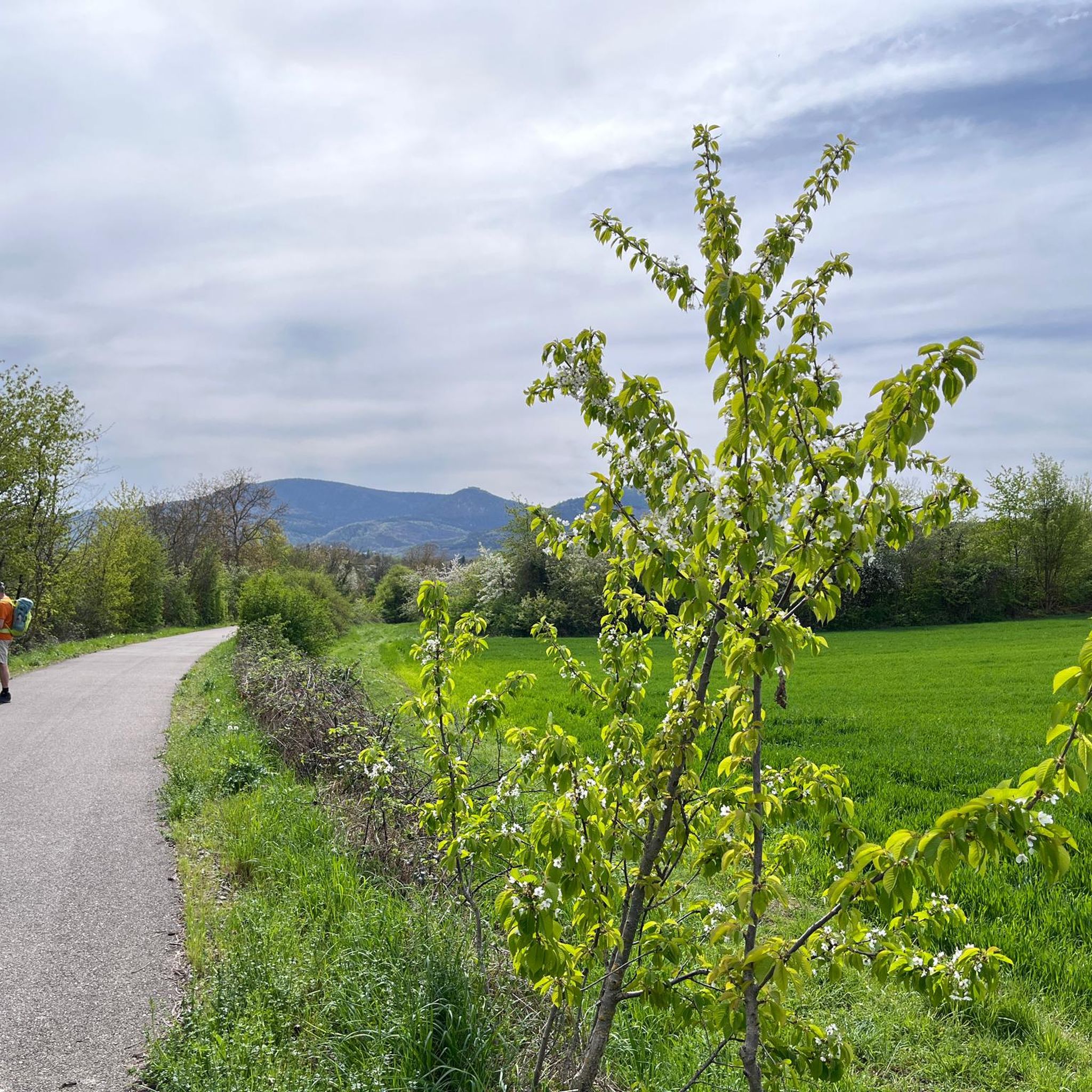
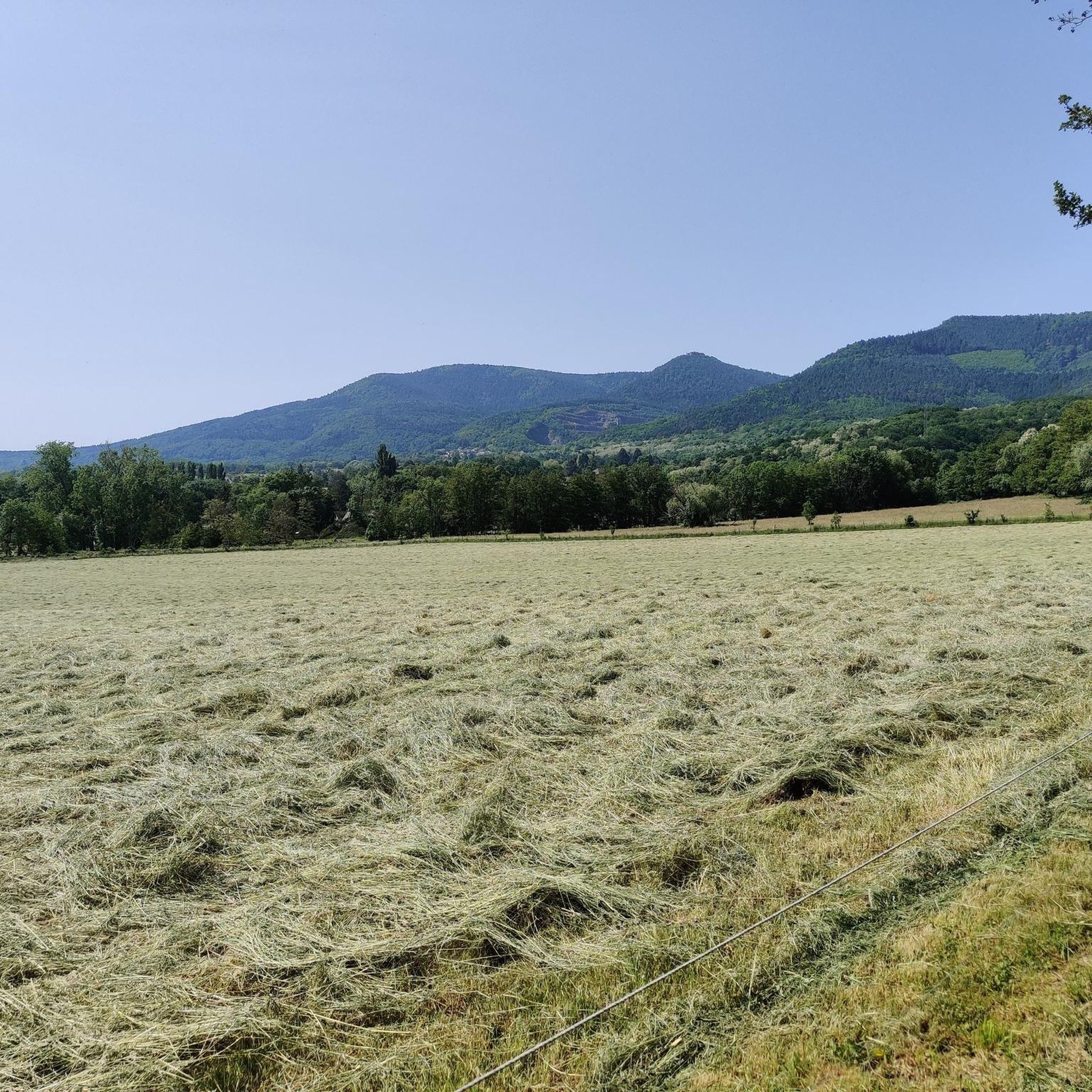
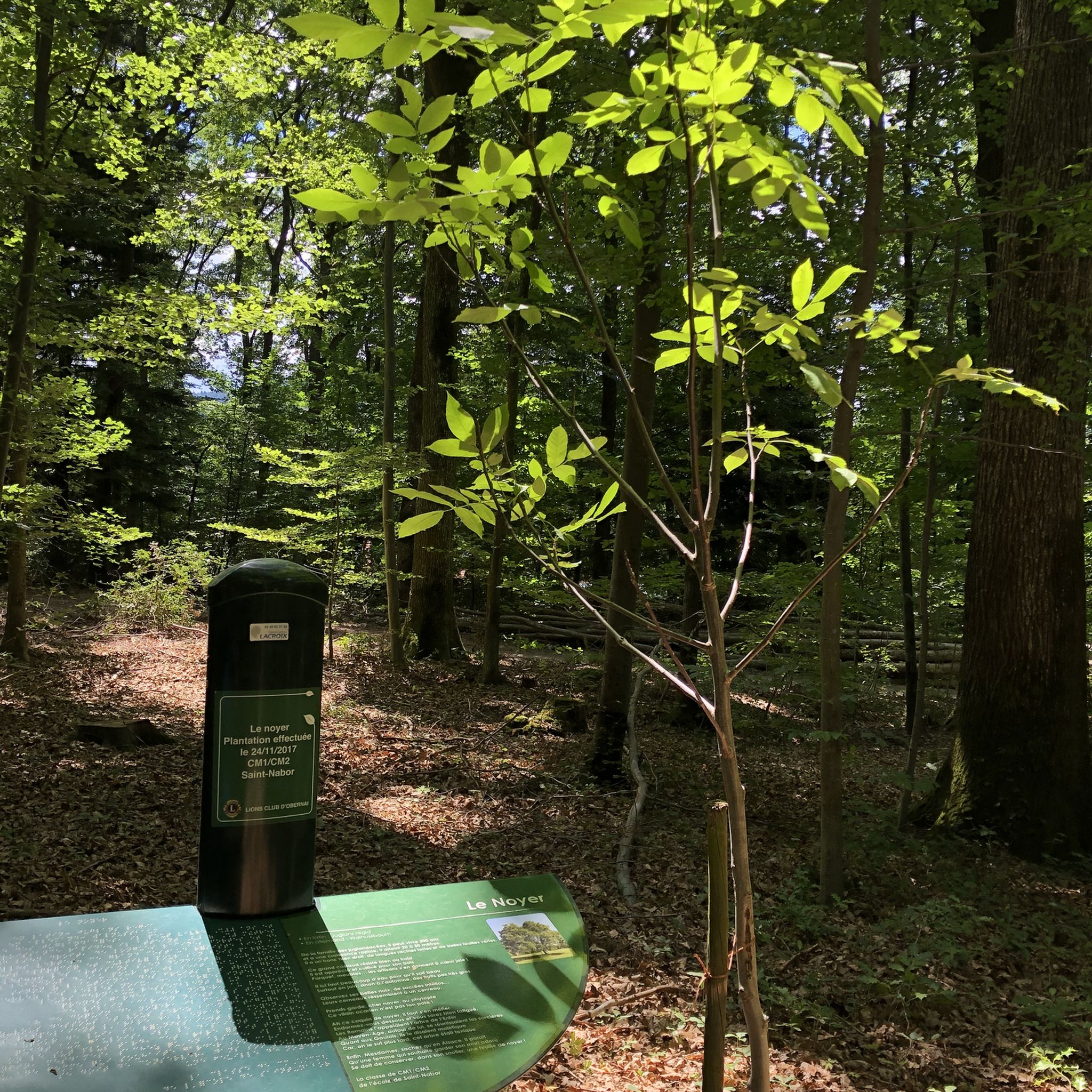

Tips from the Community

Champ du Feu, at 1099 meters, is the highest mountain in the Bas-Rhin department of the Vosges in Alsace. It is located between the villages of Belmont and Le Hohwald and consists of an extensive high plateau with forests, meadows, and moorlands. The area is a popular nature and recreational area. In summer, it is mainly used for hiking, mountain biking, and nature observation. In winter, there is a small ski resort with cross-country trails and simple slopes for winter sports. The stream La Serva originates from Champ du Feu and later forms the Cascade de la Serva. In clear weather, the summit offers wide views over the Vosges, the Rhine plain, and as far as the Black Forest. The area is particularly known for its tranquil nature, high moors, sunrises and starry skies, as well as well-marked hiking trails.
0
0
Champ du Feu, at 1099 meters, is the highest mountain in the Bas-Rhin department of the Vosges in Alsace. It lies between the towns of Belmont and Le Hohwald and consists of an extensive high plateau with forests, meadows, and moorlands. The area is a popular nature and recreational area. In summer, it is mainly used for hiking, mountain biking, and nature observation. In winter, there is a small ski area with cross-country trails and simple slopes for winter sports. The brook La Serva originates from Champ du Feu, later forming the Cascade de la Serva. In clear weather, the summit offers wide views over the Vosges, the Rhine plain, and as far as the Black Forest. The area is particularly known for its tranquil nature, high moors, sunrises and starry skies, as well as well-marked hiking trails.
0
0

Beautiful tour with many small highlights and viewpoints.
0
0

Possible origins of the name: Celtic rituals: It is believed that solstice and sacrificial fires were lit here in Celtic times. Charcoal burners' fire: The "fire" could also refer to the fires lit by charcoal burners in the surrounding forests of the Vosges Mountains. Cattle pasture: A popular theory states that the French word "feu" is a corruption of the German word "Vieh," meaning "field of cattle," as it was a sparsely wooded plateau where cattle could graze. Text from the Internet
1
0

A really great view of the surrounding area!
1
0

Small but nice. Right on the side of the road.
0
0

In the heart of Alsace, at the foot of Mont Sainte-Odile, lies Ottrott, world-famous for its red wine. This charming little village nestled in the countryside is the land of Mont Sainte-Odile and welcomes visitors to a flower-filled atmosphere. Hiking trails lead to the discovery of the 10.5 km long "Mur Paien" (pagan wall) in the heart of the forest, whose origins remain unknown. Winemakers, for their part, have used their expertise to enhance the "Rouge d'Ottrott," a Burgundy grape variety cultivated in the region since the 11th century. Perched on a hilltop is the Mont Sainte-Odile Abbey, a pilgrimage center in Alsace. Magnificent panoramic views offer views of the Alsatian plain and the Vosges Mountains.
3
1
The parish church, built in 1771 in Ottrott-le-Haut, is dedicated to Saints Simon and Jude and features the characteristics of 17th-century Alsatian churches. In 1793, Silbermann organs from the Collegiate Church of St. Leonard were installed there. Numerous concerts were held there, to the great delight of music lovers.
3
0
Frequently Asked Questions
What kind of mountaineering routes can I expect around Börsch?
The mountaineering routes around Börsch are primarily moderate, offering a blend of rolling hills, dense forests, and vineyards. They provide access to the foothills of the Vosges Mountains, with notable features like Mont Sainte-Odile. You'll find trails that explore diverse natural and historical landscapes, suitable for those looking for engaging day hikes rather than technical climbing.
Are there any family-friendly mountaineering options near Börsch?
While all routes listed are moderate, the area's trails through forests and past historical sites can be enjoyable for families with some hiking experience. For example, the Chapel – Champ du Feu Monoliths loop from Réserve biologique dirigée du Champ du Feu is a 9.2 km route that takes about 2 hours 37 minutes, offering a manageable distance through a natural reserve.
Can I bring my dog on the mountaineering trails around Börsch?
The trails around Börsch, winding through forests and natural areas, are generally suitable for dogs. However, it's always recommended to keep your dog on a leash, especially in nature reserves or areas with wildlife, and to check local regulations for specific trails or protected zones.
What are some notable landmarks or attractions I might see on these routes?
Many routes offer scenic views and pass by historical sites. For instance, the Mont Sainte-Odile Abbey – Mount Sainte-Odile loop from Ottrott provides panoramic views of the Alsace plain and leads to the historic Mont Sainte-Odile Abbey. You can also explore nearby castles such as Andlau Castle or Rathsamhausen Castle, which are part of the rich heritage of the region.
Are there any circular mountaineering routes available?
Yes, all the mountaineering routes highlighted in this guide are circular. This includes the popular Mont Sainte-Odile Abbey – Mount Sainte-Odile loop from Ottrott, the Elsberg – Hohenbourg loop from Ottrott, and the Chapel – Champ du Feu Monoliths loop from Réserve biologique dirigée du Champ du Feu, allowing you to start and end at the same point.
What is the best time of year to go mountaineering in Börsch?
The region around Börsch, being in the Alsatian piedmont and close to the Vosges Mountains, is beautiful throughout much of the year. Spring and autumn offer pleasant temperatures and vibrant scenery, with blooming flowers or colorful foliage. Summer is also popular, though trails can be busier. Winter mountaineering is possible, but requires appropriate gear and awareness of conditions, especially at higher elevations in the Vosges.
What do other mountaineers enjoy most about the routes in Börsch?
The routes in Börsch are highly rated by the komoot community, with an average score of 5.0 stars. Reviewers often praise the diverse natural environments, the scenic views of the Alsace plain, and the historical points of interest like Mont Sainte-Odile Abbey and the ruins of Hohenbourg Castle.
How many mountaineering routes are featured in this guide?
This guide features 3 distinct mountaineering routes around Börsch, all categorized as moderate difficulty. These routes offer a variety of experiences through the region's beautiful landscapes.
Are there options for challenging mountaineering routes in the Börsch area?
The routes directly featured in this guide are all classified as moderate. While they offer engaging climbs and descents, they are not considered technically difficult mountaineering. For more challenging terrain, you would need to venture deeper into the Vosges Mountains, which are accessible from the Börsch region.
Is parking available near the trailheads?
Specific parking details vary by trailhead. However, as the routes often start from villages like Ottrott or near natural reserves, you can generally find designated parking areas. It's advisable to check the individual route descriptions on komoot for precise parking information before you set out.
Can I reach the mountaineering trailheads using public transport?
Börsch and its surrounding villages are part of the Grand Est region's transport network. While some trailheads might be accessible via local bus services, direct public transport links to all starting points may be limited. Planning your journey in advance using regional transport websites is recommended if you intend to rely on public transport.
Are there any places to eat or stay near the mountaineering routes?
Börsch is situated in the picturesque Alsatian vineyard region, which means charming villages are often nearby. You can expect to find local restaurants, cafes, and accommodation options in towns like Bœrsch itself or Ottrott, providing convenient amenities before or after your mountaineering adventure.
Most popular attractions around Börsch

Get inspired with the komoot mobile app


Explore more
Browse the best Mountain Hikes & Routes in other regions.
