Lsg Innerhalb Des Naturparks Steigerwald (Ehemals Schutzzone)
Lsg Innerhalb Des Naturparks Steigerwald (Ehemals Schutzzone)
The best mountain hikes in Lsg Innerhalb Des Naturparks Steigerwald (Ehemals Schutzzone)
4
hikers
3
hikes
Mountaineering in Lsg Innerhalb Des Naturparks Steigerwald (Ehemals Schutzzone) offers routes through a landscape characterized by deciduous and pine forests, expansive meadows, and vineyards. The region features elevated terrain with isolated mountains and a continuous ridge extending to Zabelstein Mountain. While not high-altitude mountaineering, the area provides opportunities for strenuous treks across its varied topography, including vast beech forests and numerous small ponds. The highest points, such as Scheinberg (499 m) and Hohenlandsberg (498 m), contribute to the park's elevated…
Last updated: July 10, 2026
2
hikers
13.2km
03:30
120m
120m
Moderate mountaineering route. Good fitness required. Easily-accessible paths. Suitable for all skill levels.
1
hikers
Easy mountaineering route. Great for any fitness level. Easily-accessible paths. Suitable for all skill levels.

Sign up for free
1
hikers
14.8km
03:57
170m
170m
Moderate mountaineering route. Good fitness required. Easily-accessible paths. Suitable for all skill levels.
Our route recommendations are based on thousands of hikes, rides, and runs completed by other people on komoot.
Start today with a free account
Your next adventure awaits.
Login or Signup
Popular around Lsg Innerhalb Des Naturparks Steigerwald (Ehemals Schutzzone)

Steigerwald panorama trail — 9 days
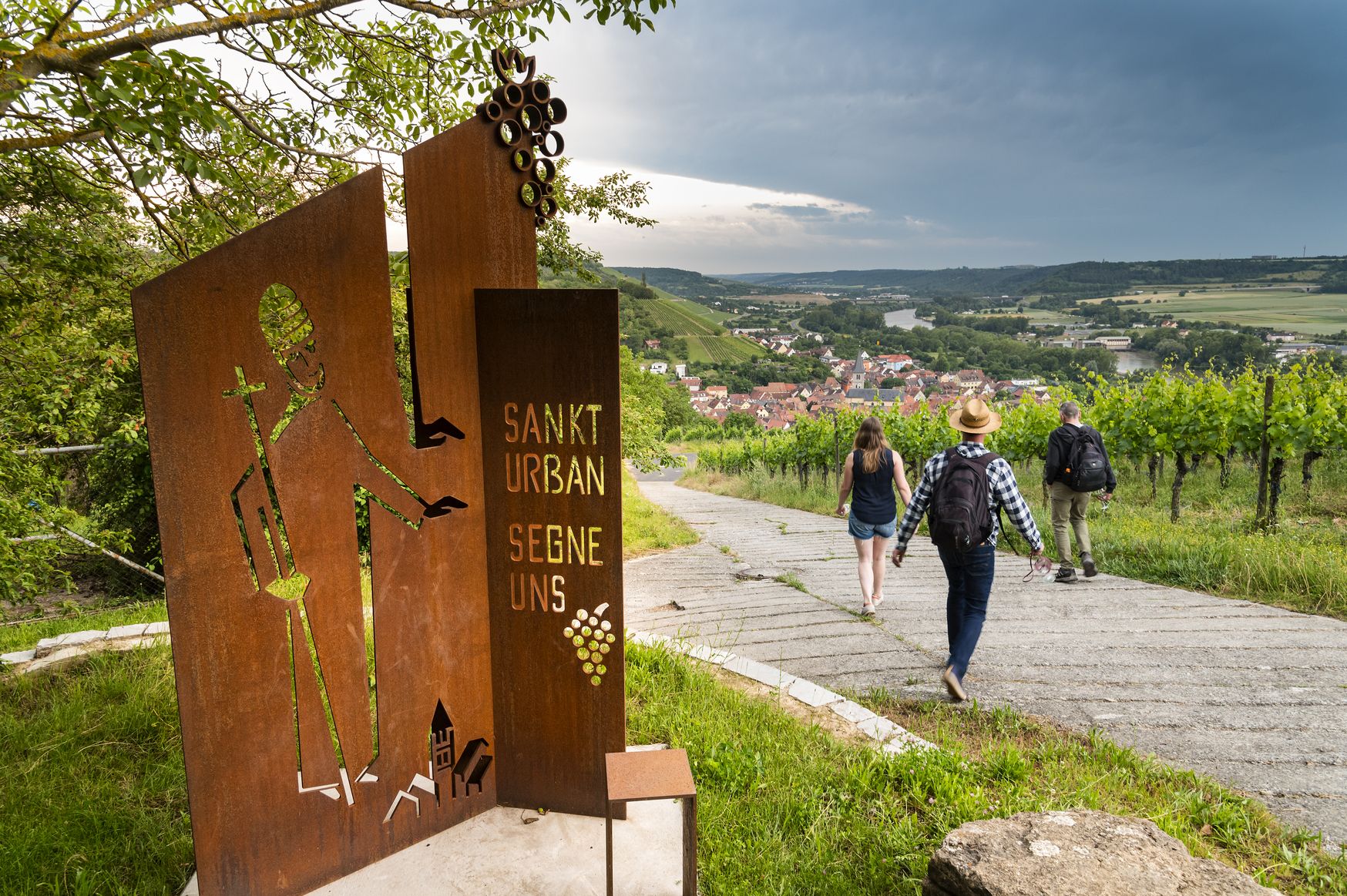
Hiking and culinary delights – walks in the Franconia wine region
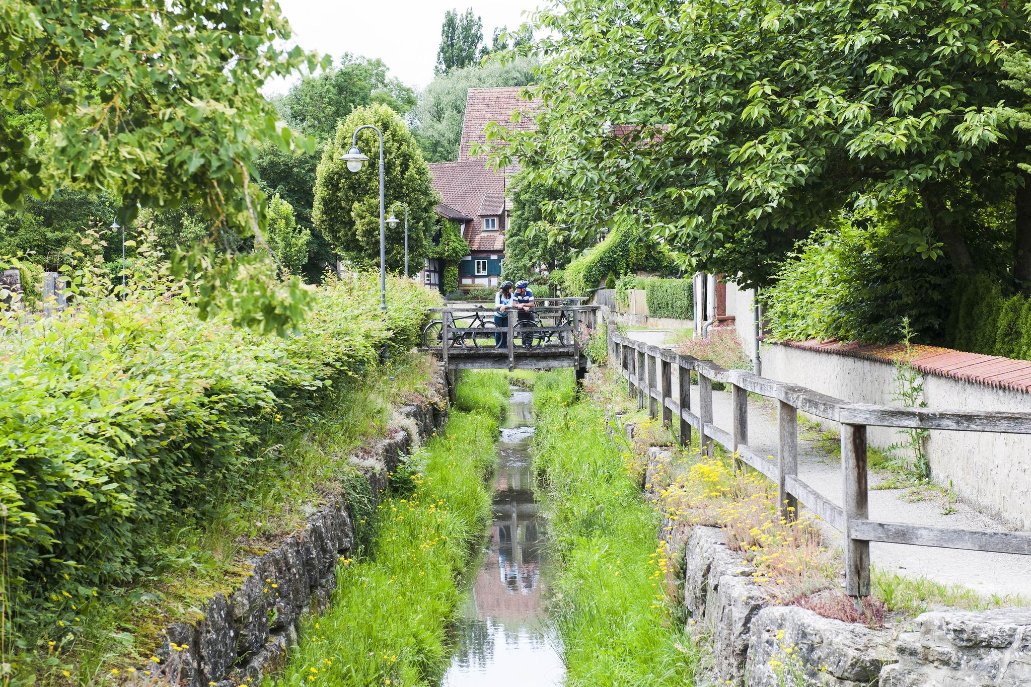
Fun, nature and culture – discover Franconia by bike

No time for boredom – family hikes with a fun factor in Bayern
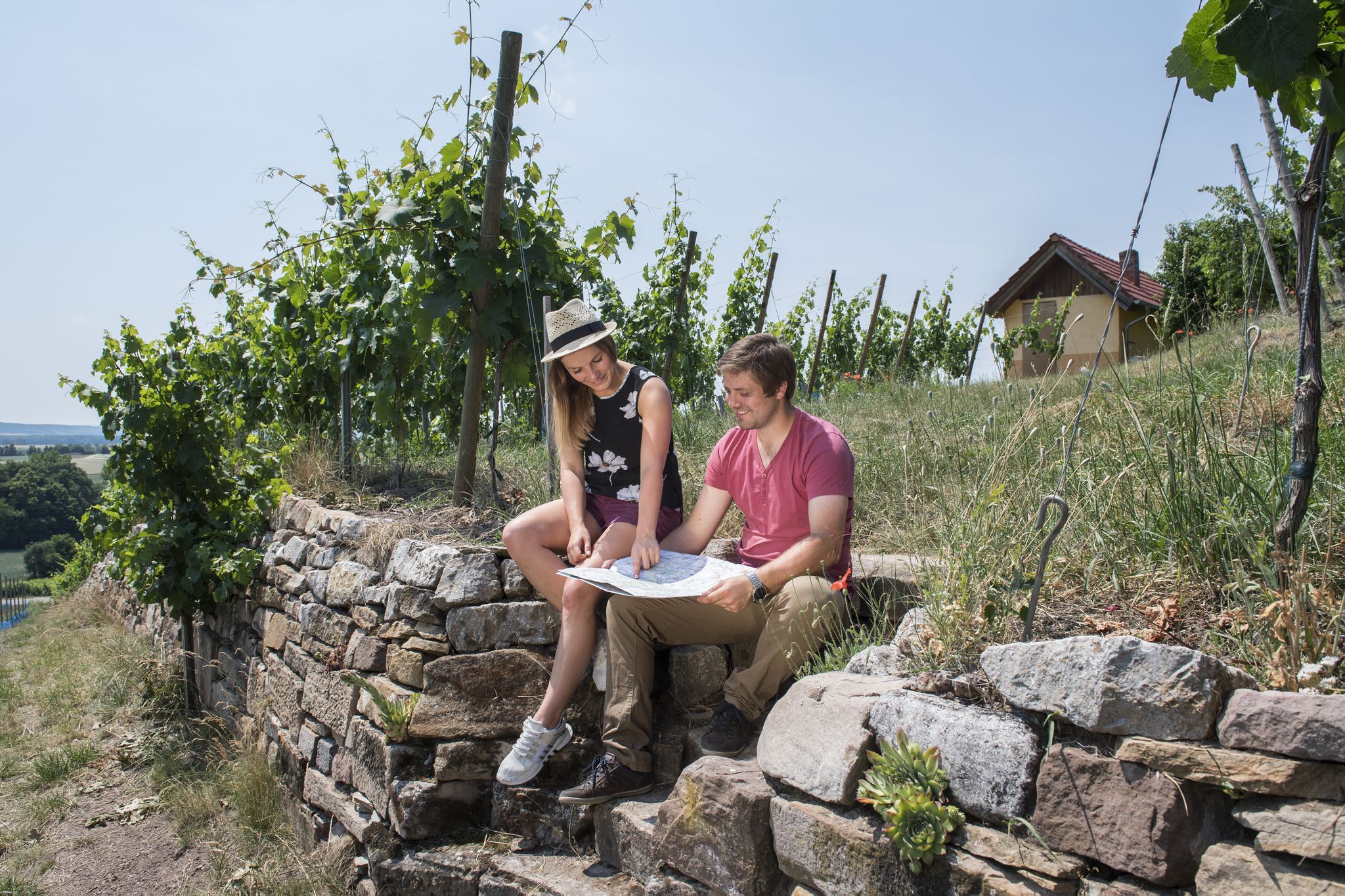
Vineyards, historic towns & forests – hiking through Schweinfurt in Bavaria
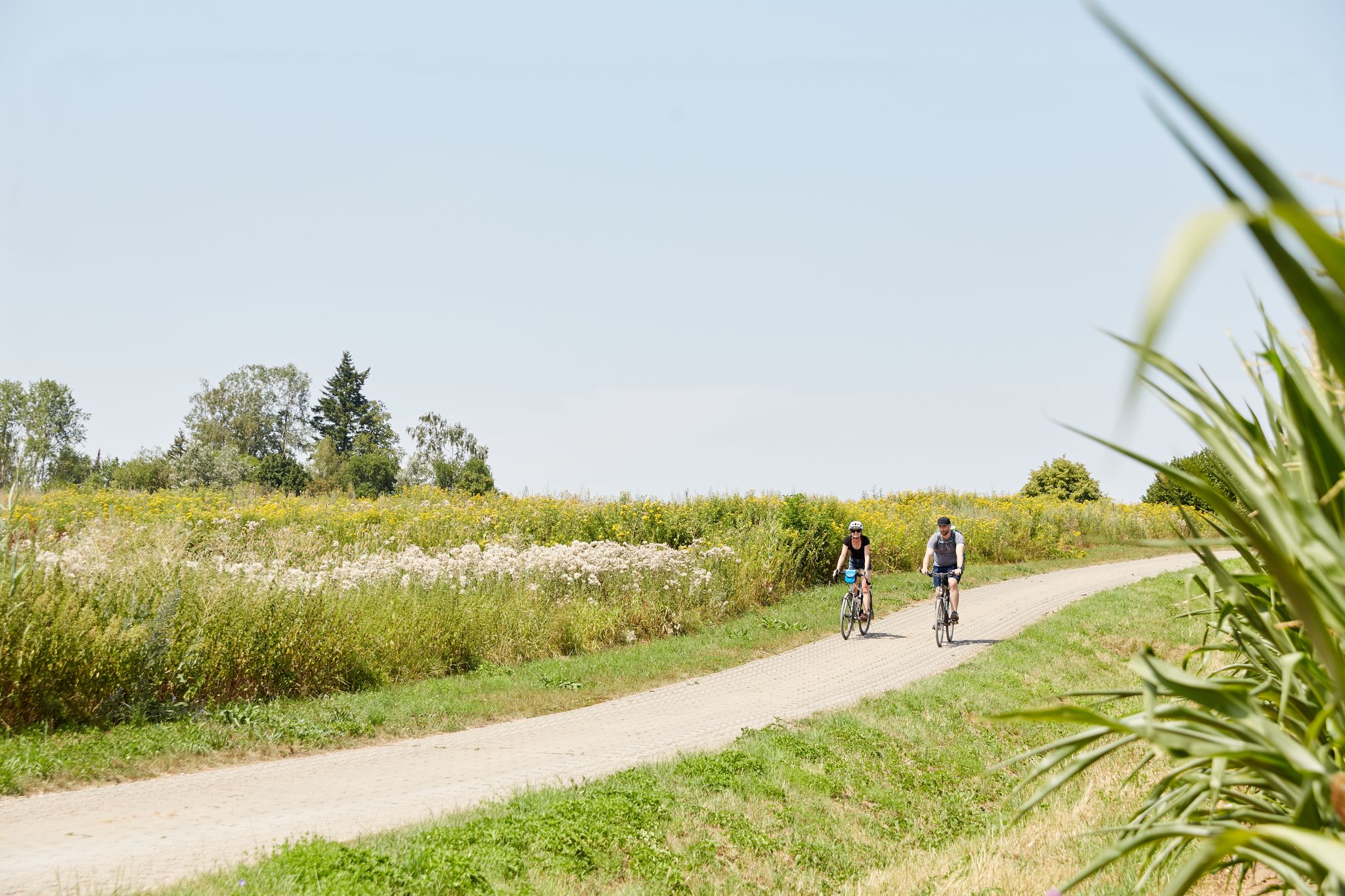
VGN presents 8 cycling day trips around Nuremberg
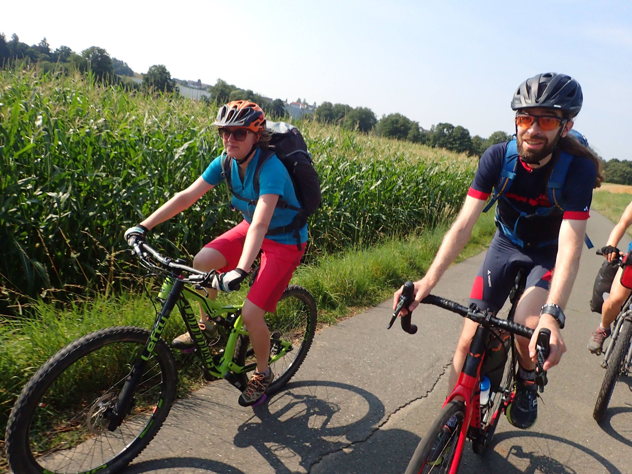
Bike tours in Franconia and Upper Palatinate — VGN leisure tips
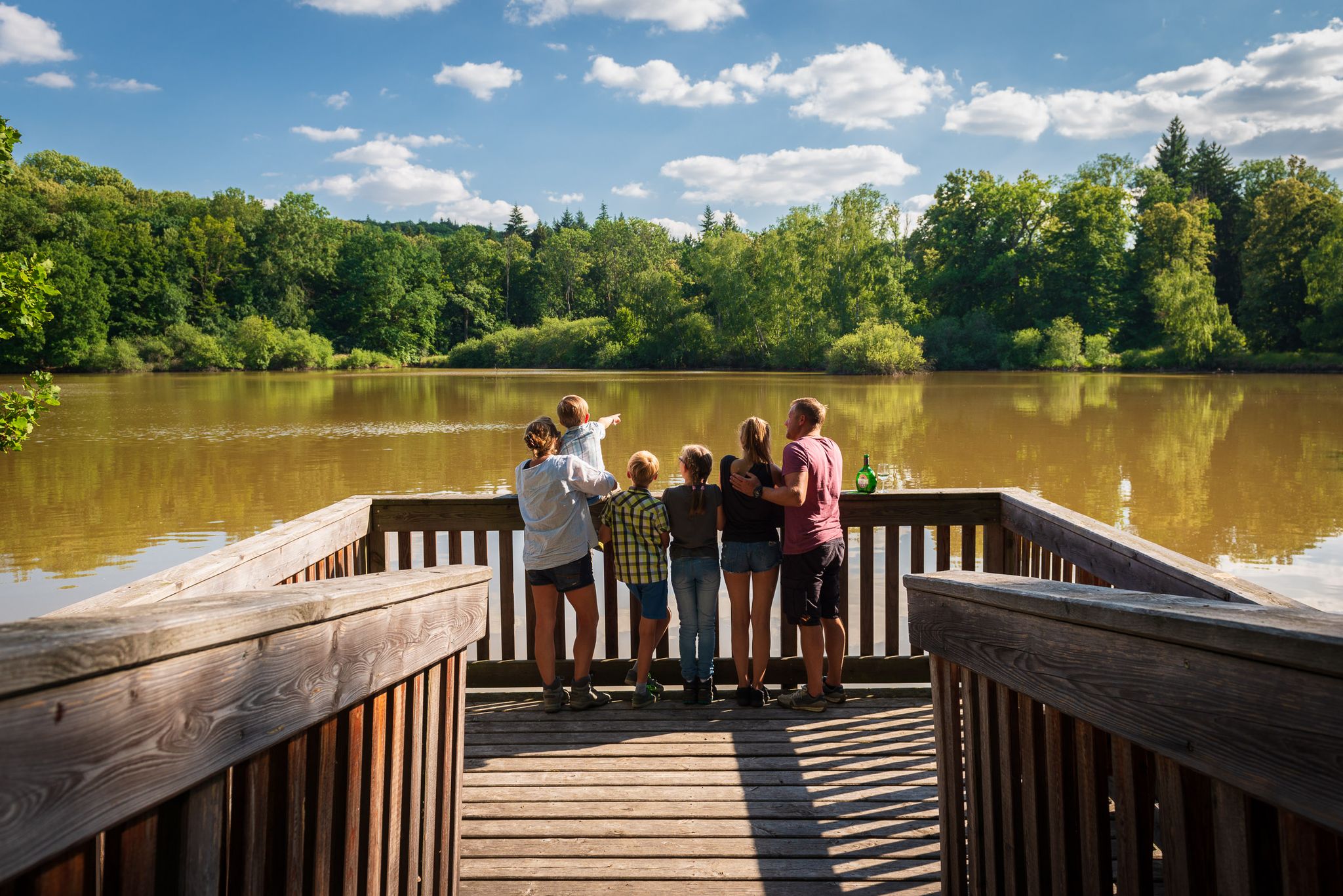
Naturerlebniswege im Kulturerbe Mittelwald Iphofen
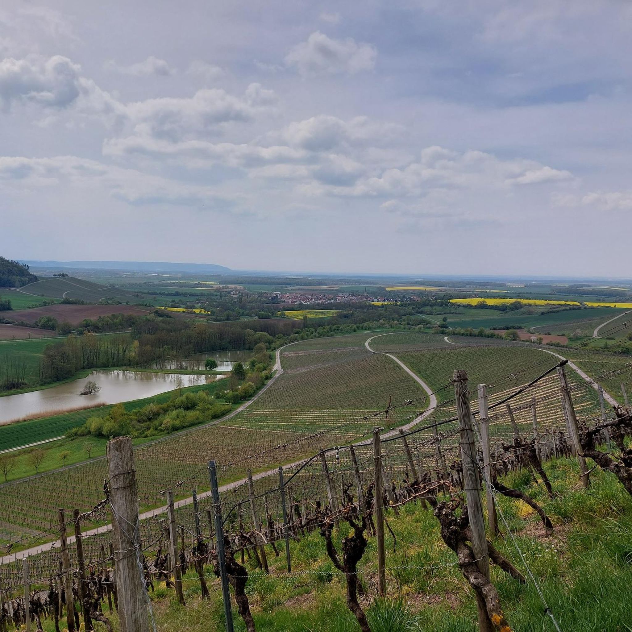
Hiking in Lsg Innerhalb Des Naturparks Steigerwald (Ehemals Schutzzone)
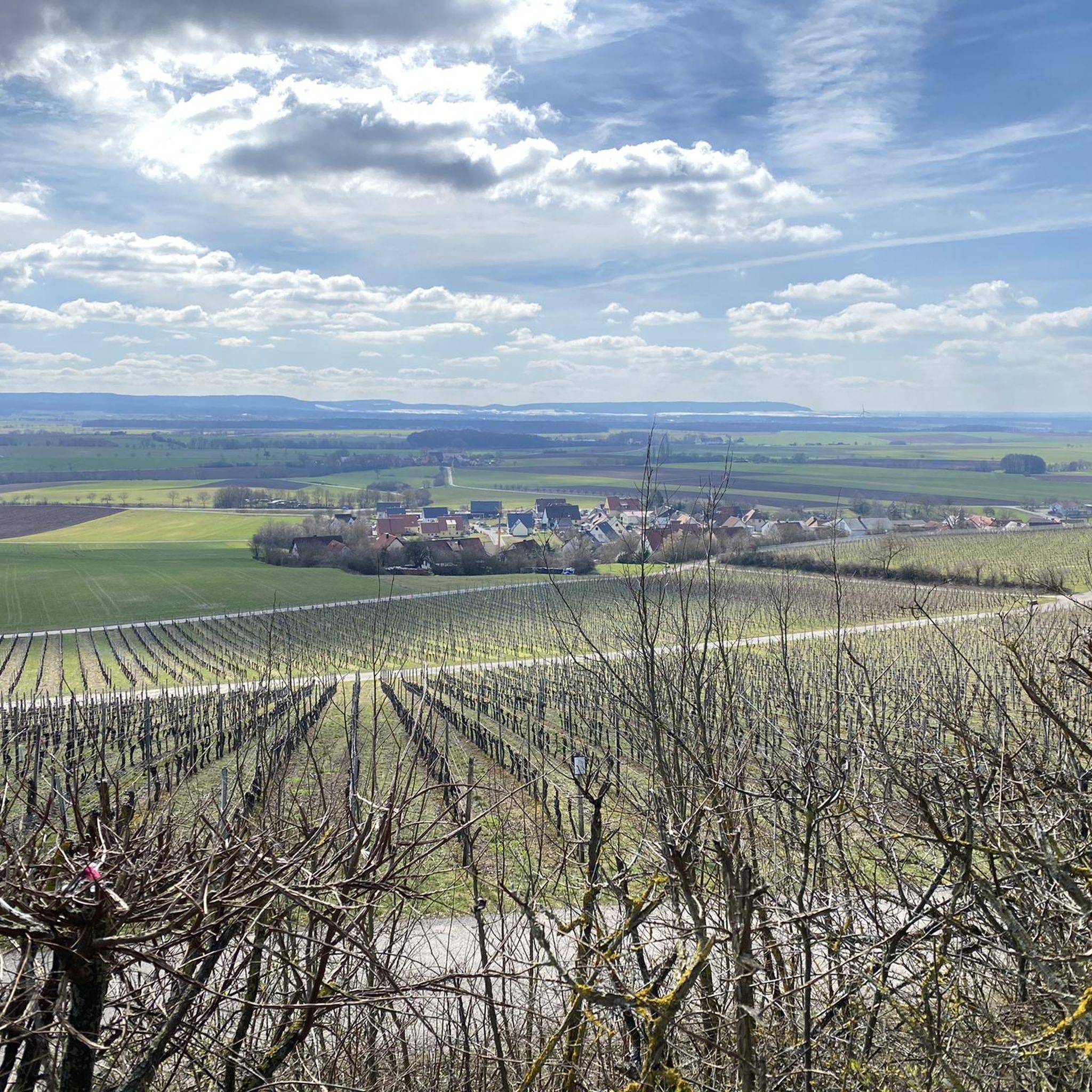
Cycling in Lsg Innerhalb Des Naturparks Steigerwald (Ehemals Schutzzone)
Other adventures in Lsg Innerhalb Des Naturparks Steigerwald (Ehemals Schutzzone)


Tips from the Community

Beautiful old mill at the foot of the Schauerberg; it also seems to be inhabited;
0
0

Along the Aurach Trail you'll pass several historic mills, like the Schauerberg Mill shown here. If you follow the path towards Kotzenaurach, you can also visit the Finken Mill and the Holz Mill.
0
0

A short but lovely circular hike to the Veitenstein. From up there you can enjoy a fantastic view.
0
0

Cycling along the roads and paths along the Aurach is recommended.
0
0

Listed late medieval stone crosses https://de.wikipedia.org/wiki/Liste_der_Steinkreuze_im_Landkreis_Neustadt_an_der_Aisch-Bad_Windsheim
0
0

The church in Lußberg is dedicated to Saint Giles.
8
0

Here you can enjoy your break
2
0

Here in the WALDKISTE, drinks are offered on a trust basis. Always pay carefully so that many other hikers and cyclists can enjoy them. And of course, always keep the places clean!
0
0
Frequently Asked Questions
What kind of terrain can I expect on mountaineering routes in Lsg Innerhalb Des Naturparks Steigerwald (Ehemals Schutzzone)?
The routes in this region traverse a diverse landscape of deciduous and pine forests, expansive meadows, and vineyards. You'll encounter elevated terrain with isolated mountains and a continuous ridge leading to Zabelstein Mountain. While not high-altitude mountaineering, the area provides opportunities for strenuous treks across varied topography, including vast beech forests and numerous small ponds. The highest points, such as Scheinberg (499 m) and Hohenlandsberg (498 m), contribute to the park's elevated character.
Are there any easy mountaineering routes suitable for beginners in the Steigerwald Nature Park?
Yes, there is an easy mountaineering route available. The Veitenstein Rock Formation – View from Veitenstein loop from Ebelsbach (VGem) is a 6.9 km path that offers views of the Franconian region from elevated points and is suitable for those looking for a less strenuous experience.
What are some notable natural features or viewpoints I can discover on these routes?
The region is rich in natural beauty. You can experience the extensive beech forests, rolling hills, and scenic viewpoints. For example, the Veitenstein Rock Formation – View from Veitenstein loop from Ebelsbach (VGem) offers panoramic views. The park also features numerous small ponds, which are habitats for birds and dragonflies, and ancient, mighty beech trees, some of the oldest in Germany.
Are there any circular mountaineering routes in Lsg Innerhalb Des Naturparks Steigerwald (Ehemals Schutzzone)?
Yes, all the listed mountaineering routes in this guide are circular. For instance, you can explore the Gräfweiher – Former gypsum quarry Kühlsheim loop from Bad Windsheim, which is 13.3 km long, or the Altschauerberg Ruins – Schauerberger Mühle loop from Emskirchen, spanning 14.8 km.
What kind of historical or cultural sites can I find near the mountaineering trails?
The Steigerwald Nature Park is dotted with historical towns, castles, and monasteries. Notable examples include the Cistercian Monastery of Ebrach, the pilgrimage church of Maria Limbach, and the castle ruins of Hohenlandsberg and Zabelstein, which offer panoramic views. The region also provides insights into rural culture at places like the Franconian Living History Museum in Bad Windsheim.
Are there any specific attractions like lakes or gorges along the mountaineering routes?
Yes, the region features several beautiful natural attractions. You can find serene lakes such as Birkensee (Schwanberg), Great Wolf Lake, and Tränksee. There are also impressive gorges like the Böhlbach Valley and Pfalzbach Gorge, which offer unique landscapes to explore.
What is the typical duration for a mountaineering route in this area?
The duration varies depending on the route's length and difficulty. For example, the easy Veitenstein Rock Formation – View from Veitenstein loop from Ebelsbach (VGem) can be completed in about 1 hour 57 minutes. Moderate routes like the Gräfweiher – Former gypsum quarry Kühlsheim loop from Bad Windsheim typically take around 3 hours 31 minutes, while the Altschauerberg Ruins – Schauerberger Mühle loop from Emskirchen takes approximately 3 hours 57 minutes.
Are there any multi-day trekking opportunities in the Steigerwald Nature Park?
While this guide focuses on single-day mountaineering routes, the wider Steigerwald Nature Park does offer opportunities for multi-day adventures. There are ten dedicated trekking sites in the northern Steigerwald, equipped with fire pits, toilets, and campsites, allowing for extended explorations of the region's diverse landscapes.
What are the highest elevations in the Steigerwald Nature Park?
The highest elevations in the park include the Scheinberg (499 m), Hohenlandsberg (498 m), and Zabelstein (489 m). These elevated points contribute to the park's character and offer rewarding views during your hikes.
Is the Steigerwald Nature Park suitable for family-friendly outdoor activities?
Yes, the Steigerwald Nature Park is well-suited for families. Beyond mountaineering, visitors can enjoy cycling, water sports, and exploring historical sites. A particularly family-friendly attraction is the Steigerwald Treetop Path near Ebrach, which is 1,150 meters long and up to 42 meters high, offering a unique perspective of the forests.
What makes the Steigerwald Nature Park unique for outdoor enthusiasts?
The park's unique appeal lies in its diverse and well-preserved landscapes, offering 'mountain hiking' experiences without the extreme altitudes of the Alps. It combines extensive ancient beech forests, rolling hills, vineyards, and numerous small ponds with a rich cultural heritage of castles and monasteries. Its protected status ensures the long-term conservation of its natural beauty and ecological integrity.
Most popular routes in Lsg Innerhalb Des Naturparks Steigerwald (Ehemals Schutzzone)
Most popular attractions in Lsg Innerhalb Des Naturparks Steigerwald (Ehemals Schutzzone)

Get inspired with the komoot mobile app


Explore more
Browse the best Mountain Hikes & Routes in other regions.
