Lsg Innerhalb Des Naturparks Steigerwald (Ehemals Schutzzone)
Lsg Innerhalb Des Naturparks Steigerwald (Ehemals Schutzzone)
The best running trails in Lsg Innerhalb Des Naturparks Steigerwald (Ehemals Schutzzone)
4.5
(151)
1,653
runners
146
runs
Jogging in Lsg Innerhalb Des Naturparks Steigerwald (Ehemals Schutzzone) offers a diverse landscape for runners. The region is characterized by rolling hills, extensive woodlands, and open agricultural areas, providing varied terrain for running routes. Trails often follow forest paths and quiet country roads, with some routes featuring gentle ascents and descents. The natural park setting ensures a focus on outdoor activity within a protected environment.
Best jogging routes in Lsg Innerhalb Des Naturparks Steigerwald (Ehemals Schutzzone)
- The most popular jogging…
Last updated: October 18, 2026
4.2
(14)
342
runners
Hard run. Very good fitness required. Mostly paved surfaces. Suitable for all skill levels.
4.8
(8)
137
runners
11.1km
01:09
50m
50m
Moderate run. Good fitness required. Mostly paved surfaces. Suitable for all skill levels.

4.0
(8)
83
runners
Moderate run. Good fitness required. Mostly paved surfaces. Suitable for all skill levels.
4.8
(17)
61
runners
10.5km
01:07
30m
30m
Moderate run. Good fitness required. Mostly paved surfaces. Suitable for all skill levels.
5.0
(1)
54
runners
15.9km
01:56
360m
350m
Hard run. Very good fitness required. Mostly paved surfaces. Suitable for all skill levels.
Get access to more routes and recommendations from other explorers.
Already have an account?
Our route recommendations are based on thousands of hikes, rides, and runs completed by other people on komoot.
Start today with a free account
Your next adventure awaits.
Popular around Lsg Innerhalb Des Naturparks Steigerwald (Ehemals Schutzzone)

Steigerwald panorama trail — 9 days
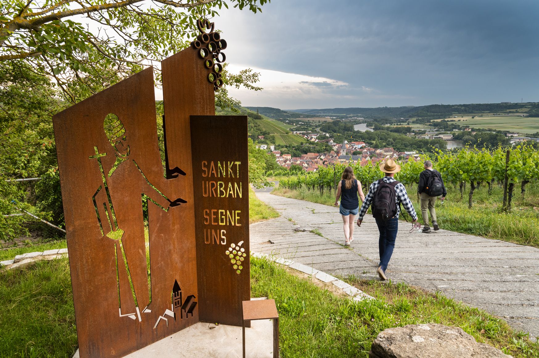
Hiking and culinary delights – walks in the Franconia wine region
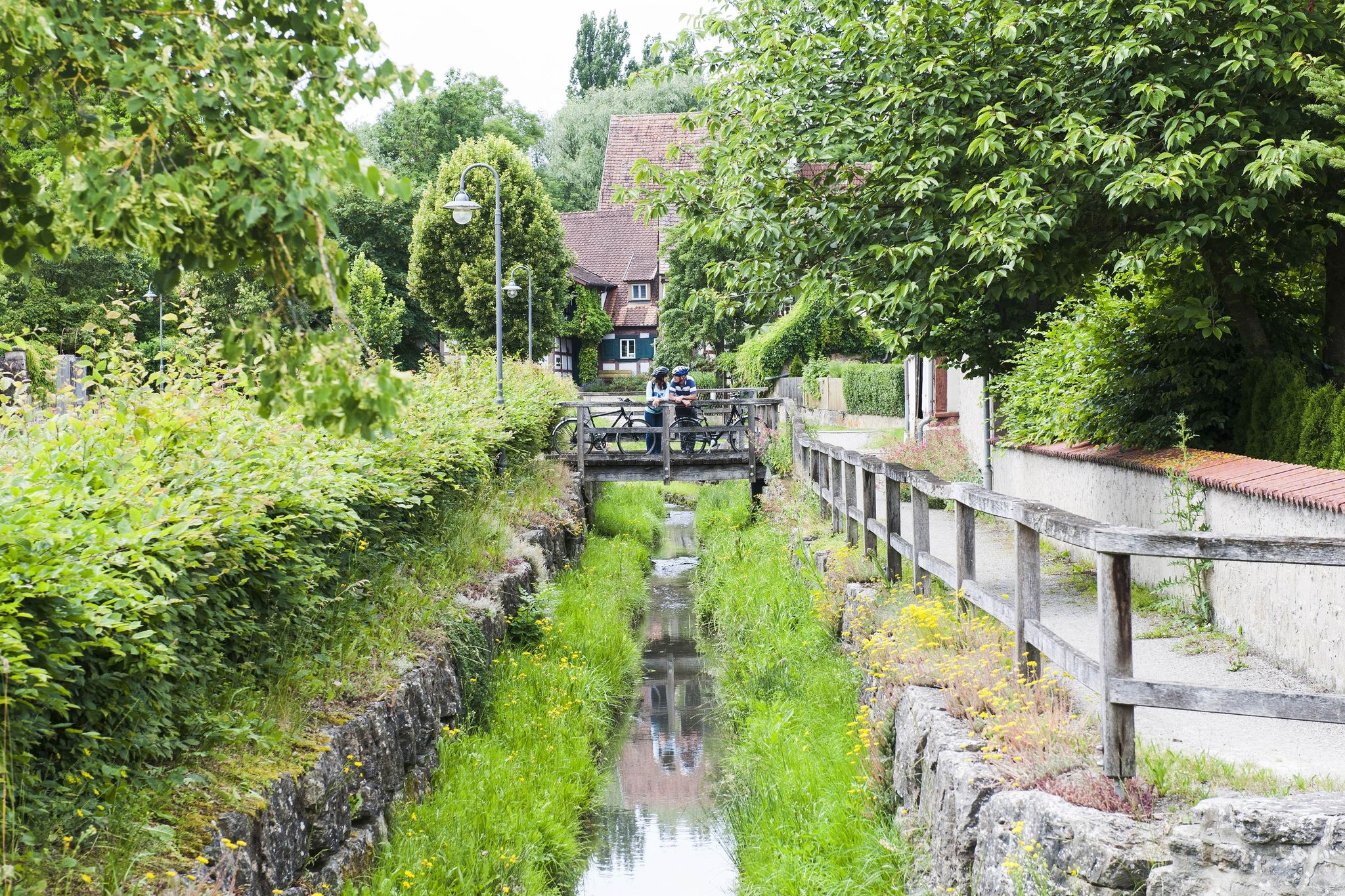
Fun, nature and culture – discover Franconia by bike

No time for boredom – family hikes with a fun factor in Bayern
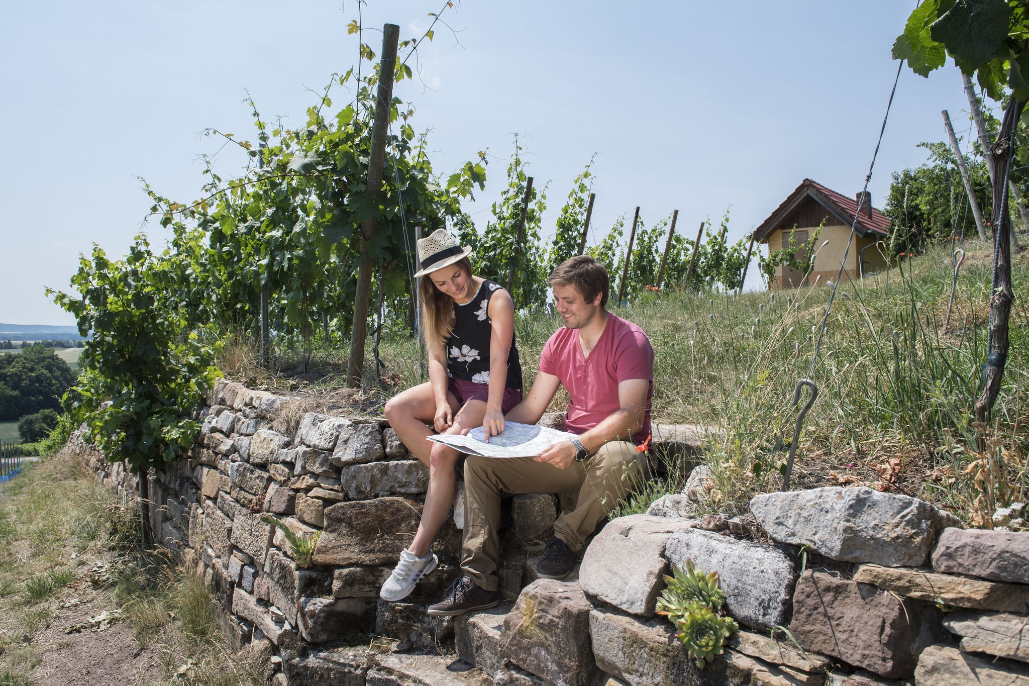
Vineyards, historic towns & forests – hiking through Schweinfurt in Bavaria
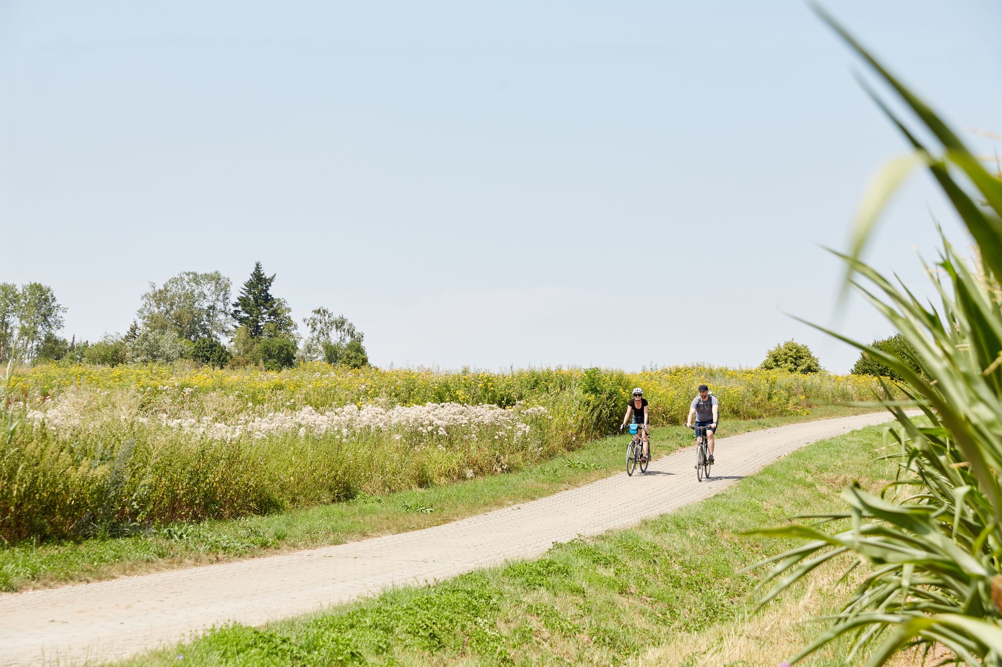
VGN presents 8 cycling day trips around Nuremberg
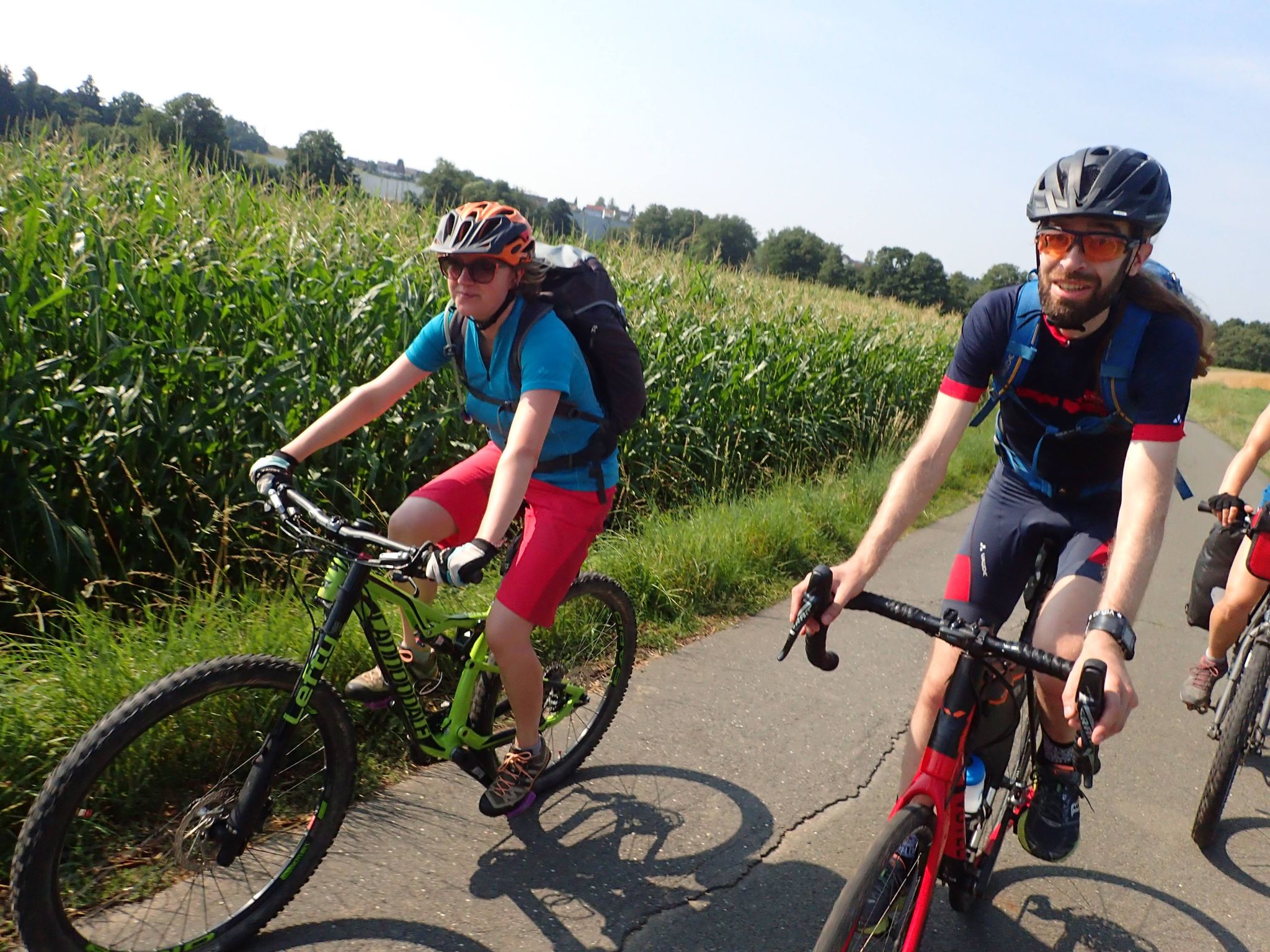
Bike tours in Franconia and Upper Palatinate — VGN leisure tips
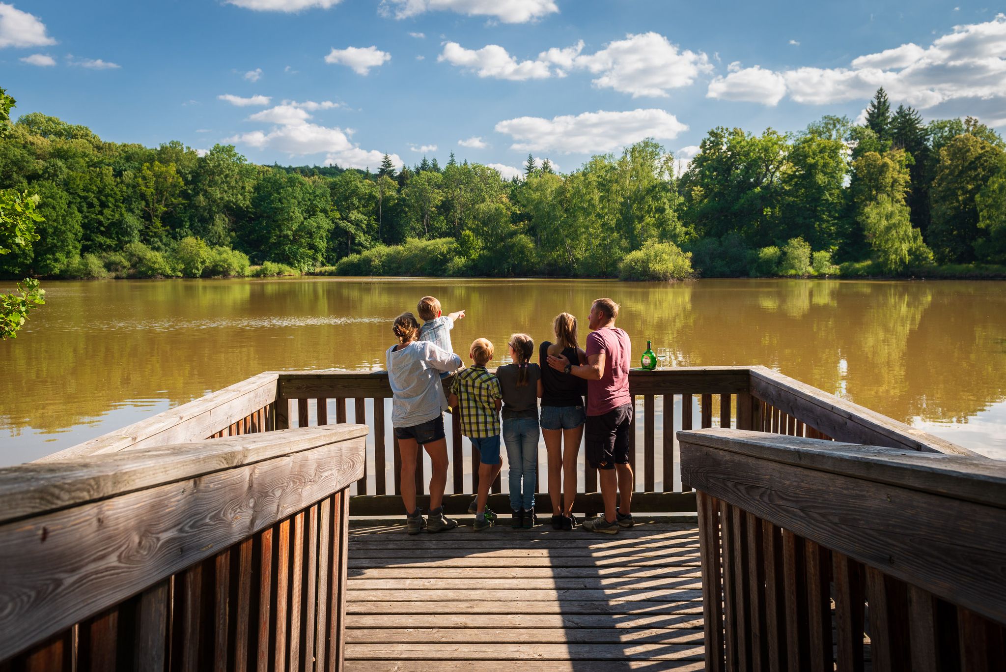
Naturerlebniswege im Kulturerbe Mittelwald Iphofen
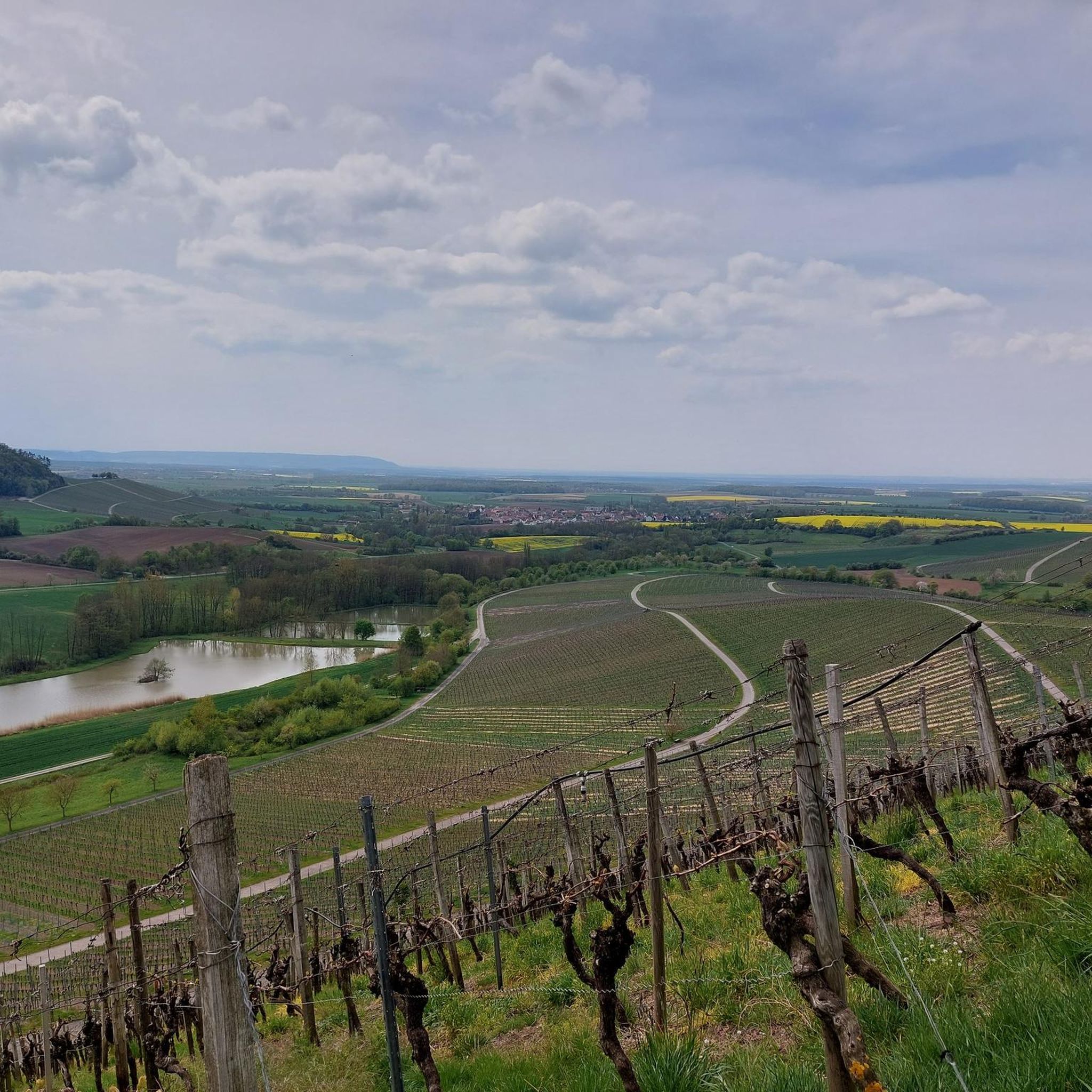
Hiking in Lsg Innerhalb Des Naturparks Steigerwald (Ehemals Schutzzone)
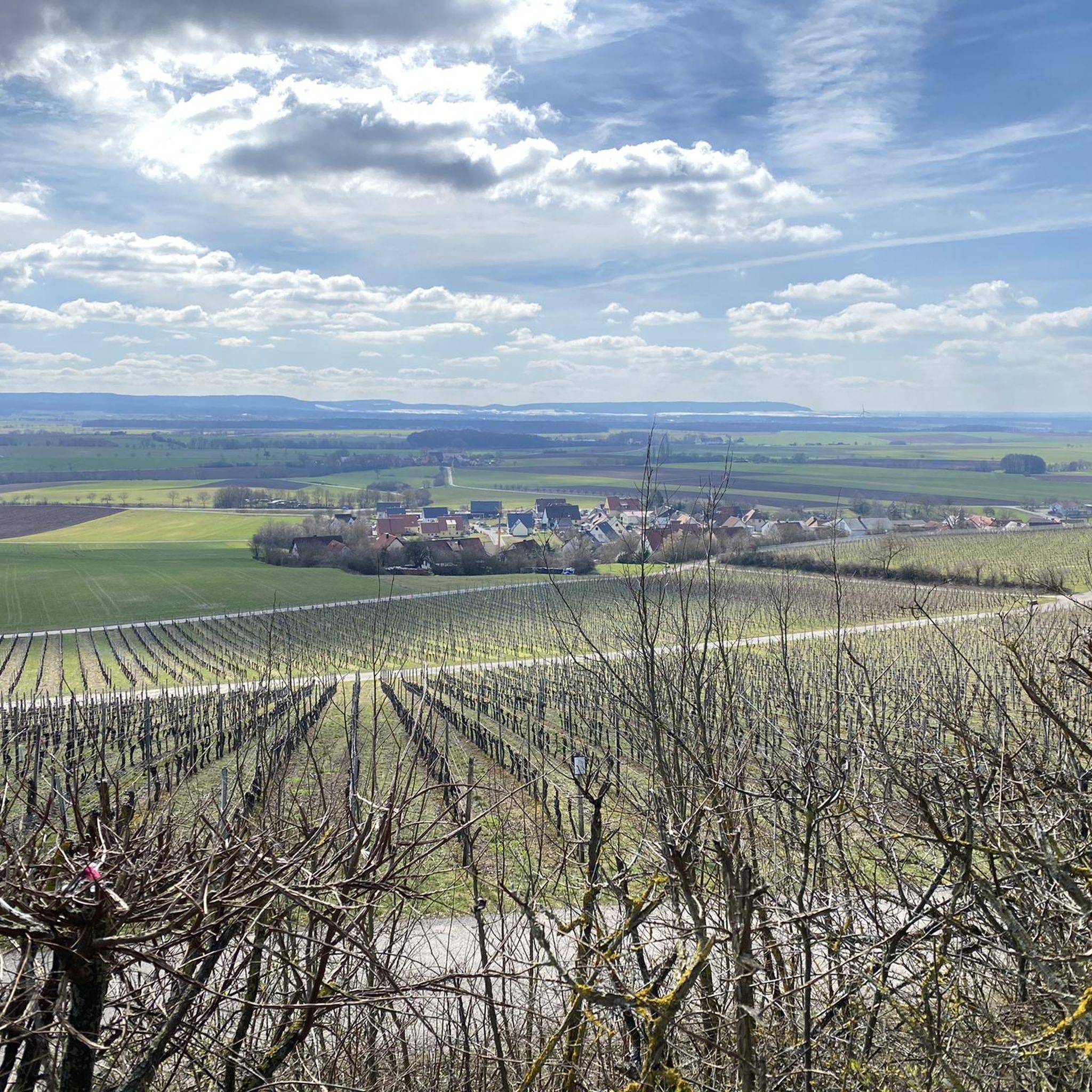
Cycling in Lsg Innerhalb Des Naturparks Steigerwald (Ehemals Schutzzone)
Other adventures in Lsg Innerhalb Des Naturparks Steigerwald (Ehemals Schutzzone)


Tips from the Community

A wonderful place for a picnic
0
0

Pavilion at the end of the tree-lined avenue
0
0

Fast descent Caution ❗🚶♂️🚶♀️ Hikers
3
1

here you can really let it go 😎
1
0

The town hall with striking architecture
0
0
Very nice - for our little ones...
0
0
Beautiful view of Franconia
0
0
Beautiful - great highlight
0
0
Frequently Asked Questions
How many running routes are available in Lsg Innerhalb Des Naturparks Steigerwald?
There are over 130 running routes available in Lsg Innerhalb Des Naturparks Steigerwald, catering to various fitness levels. You'll find a mix of easy, moderate, and difficult trails to explore.
Are there easy running routes suitable for beginners?
Yes, the region offers a good selection of easy running routes. There are 21 routes specifically rated as easy, perfect for beginners or those looking for a relaxed jog. These often feature gentler terrain and shorter distances.
Can I find running routes around 10 km in length?
Absolutely. Many routes in the Naturpark Steigerwald fall within the 10 km range. For example, the Running loop from Sonderlandeplatz Bad Windsheim is a moderate 10.9 km path, offering a steady run through varied surfaces.
Are there more challenging running trails for experienced runners?
For experienced runners seeking a challenge, the Naturpark Steigerwald has 12 difficult routes. An example is the Schwanberg Castle Park – Birkensee (Schwanberg) loop from Kugelspielberg, which is 18 km long with significant elevation changes, providing a demanding workout.
What kind of scenery can I expect on the running trails?
The running trails in Lsg Innerhalb Des Naturparks Steigerwald offer diverse scenery, including dense woodlands, open agricultural fields, and gentle hills. Many routes provide scenic views, especially those traversing higher ground or passing by natural features like lakes. The Neustadt Cycle Path – Cherry Blossom Avenue loop from Neustadt an der Aisch, for instance, leads through picturesque agricultural landscapes.
Are the running routes accessible by public transport?
While many routes start from villages or towns that may have public transport connections, direct access to every trailhead can vary. It's advisable to check local bus or train schedules for specific starting points you plan to use. Some routes might require a short walk or bike ride from the nearest public transport stop.
Where can I find parking near the running trails?
Parking is generally available in the towns and villages that serve as starting points for many routes. Look for designated parking areas near trailheads or public parking in places like Iphofen or Neustadt an der Aisch. Specific parking information is often detailed on individual route pages on komoot.
Are there circular running routes available?
Yes, many of the running routes in Lsg Innerhalb Des Naturparks Steigerwald are designed as loops, allowing you to start and finish at the same point. Examples include the Schwanberg Castle Park – Birkensee (Schwanberg) loop from Kugelspielberg and the Mittelwaldweg Trail loop from Iphofen.
What can I see along the running routes in the Naturpark Steigerwald?
Along the running routes, you can discover various points of interest. Some trails pass by historical sites like the Hohenlandsberg Castle Ruins or natural attractions such as Birkensee (Schwanberg). You might also encounter unique geological formations like the Höllern Gypsum Cave or scenic viewpoints like the Grotto viewpoint on the southern side of Schwanberg.
Can I bring my dog on the running trails?
Generally, dogs are welcome on trails in the Naturpark Steigerwald, but it's always recommended to keep them on a leash, especially in nature protection areas, near wildlife, or when passing through agricultural land. Always be mindful of local regulations and other trail users.
When is the best time of year to go running in the Naturpark Steigerwald?
The Naturpark Steigerwald offers great running conditions throughout much of the year. Spring and autumn are particularly pleasant, with mild temperatures and beautiful scenery as the foliage changes. Summer can be warm, so early mornings or late afternoons are ideal. Winter running is also possible, but trails might be icy or muddy, so appropriate footwear is essential.
What do other runners enjoy most about jogging in Lsg Innerhalb Des Naturparks Steigerwald?
The running routes in Lsg Innerhalb Des Naturparks Steigerwald are highly rated by the komoot community, with an average score of 4.8 stars. Reviewers often praise the diverse terrain, the tranquility of the woodlands, and the well-maintained paths that make for an enjoyable outdoor experience.
Most popular routes in Lsg Innerhalb Des Naturparks Steigerwald (Ehemals Schutzzone)
Most popular attractions in Lsg Innerhalb Des Naturparks Steigerwald (Ehemals Schutzzone)

Get inspired with the komoot mobile app


Explore more
Browse the best Running Trails & Routes in other regions.
