The best road cycling routes around Kaaawa
74
riders
4
rides
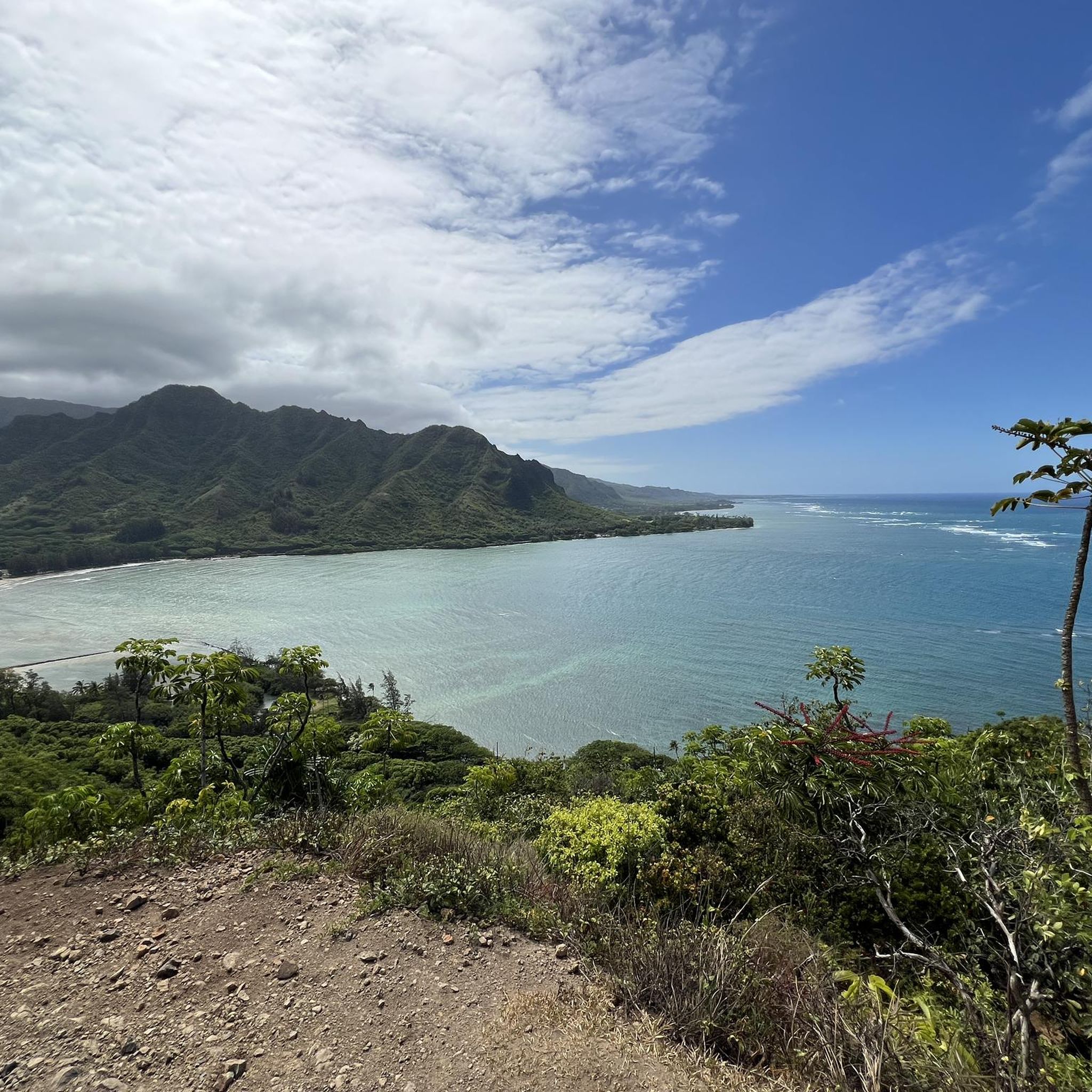
Road cycling routes around Kaaawa are situated on Oʻahu's windward coast, characterized by the dramatic Koʻolau Mountains meeting the Pacific Ocean. The terrain features coastal roads, offering varied elevation changes and scenic backdrops. This geographical setting provides a mix of challenging climbs and more moderate stretches along the shoreline.
Best road cycling routes around Kaaawa
- The most popular road cycling route is Honolulu to Turtle Bay loop via Kamehameha Highway, a 100.3 miles (161.4 km) trail that takes 6…
Last updated: October 14, 2026
15
riders
161km
06:58
1,250m
1,250m
Hard road ride. Very good fitness required. Mostly well-paved surfaces and easy to ride.
24
riders
98.4km
04:12
690m
690m
Moderate road ride. Good fitness required. Mostly well-paved surfaces and easy to ride.

15
riders
68.6km
03:21
310m
310m
Moderate road ride. Good fitness required. Some segments of this route may be unpaved and difficult to ride.
20
riders
61.9km
02:26
260m
260m
Moderate road ride. Good fitness required. Mostly well-paved surfaces and easy to ride.
Our route recommendations are based on thousands of hikes, rides, and runs completed by other people on komoot.
Tips from the Community

You can go cliff jumping here, as seen on the movie "Forgetting Sarah Marshall", and bring binoculars to watch the sea bird sanctuary. The park is free and open daily during daylight hours, but there are no lifeguards.
0
0
Being one of the last undeveloped areas on Oahu, Turtle Bay is recognized for its rock formations, wild coastal beaches, threatened green sea turtles, and endangered Hawaiian monk seal habitats to name a few. This resort also has bike rentals including e-bikes and full suspension mtb's for a somewhat reasonable price. https://www.turtlebayresort.com/things-to-do/resort-activities#!/e/mountain-bike-rental-4ae75d24/
0
0
Located on the North side of the Island, there are views of rocky beaches and the area is more desolate (relative to a tourist destination).
0
0
There is a nice bike path slong this stretch that is off the main road. Great to enjoy the beach views and breeze without getting buzzed!
0
0

Kualoa Ranch comes highly recommended. Many stars and starlets have already been here.
2
0


Frequently Asked Questions
How many road cycling routes are available around Kaaawa?
There are 8 road cycling routes around Kaaawa listed on komoot, offering a variety of experiences for different skill levels.
What kind of terrain can I expect on Kaaawa's road cycling routes?
Kaaawa's road cycling routes are characterized by coastal roads, offering stunning views of the Pacific Ocean and the dramatic backdrop of the Koʻolau Mountains. You'll find a mix of challenging climbs and more moderate stretches along the shoreline, with routes like the Kamehameha Highway providing significant elevation changes.
Are there challenging road cycling routes for experienced cyclists?
Yes, experienced cyclists will find challenging routes. For instance, the Honolulu to Turtle Bay loop via Kamehameha Highway is a difficult 100.3-mile route with significant elevation changes, perfect for those seeking a demanding ride.
Are there any moderate or beginner-friendly road cycling routes in Kaaawa?
Yes, there are several moderate options. The Kualoa Regional Park – Kahana Bay loop from Kailua is a moderate 61.1-mile route that is mostly well-paved, offering a good balance of challenge and accessibility. There is also one easy route available for those new to road cycling or looking for a more relaxed ride.
What are some longer road cycling routes in the Kaaawa area?
For longer rides, consider the Honolulu to Turtle Bay loop via Kamehameha Highway, which spans over 100 miles. Another substantial option is the Kualoa Regional Park – Kahana Bay loop from Kailua, covering over 61 miles.
What scenic viewpoints or natural features can I see while road biking around Kaaawa?
Road cycling in Kaaawa offers continuous beautiful scenery where the mountains meet the sea. You'll encounter dramatic views of the Koʻolau Mountains and the Pacific Ocean. Notable natural features visible from routes include Chinamans Hat (Mokoliʻi Island) and the serene Kahana Bay. Some routes may also pass by the East Shore.
Are there any waterfalls visible from the road cycling routes?
While the region is known for its lush landscapes, direct visibility of waterfalls from the main road cycling routes can vary. However, the area does feature a Waterfall highlight, which might be accessible or visible from certain points or nearby trails.
What is the best time of year for road biking in Kaaawa?
Kaaawa offers pleasant road cycling conditions year-round due to Oʻahu's tropical climate. However, the dry season (typically May to October) generally provides more consistent sunny weather, while the wet season (November to April) can bring more rain, especially to the windward side. Always check local weather forecasts before heading out.
Are there any circular road cycling routes in Kaaawa?
Yes, many of the routes around Kaaawa are designed as loops, allowing you to start and end at the same point. Examples include the East Shore – Kualoa Regional Park loop from Kailua and the Turtle Bay – The Banyan Tree loop from Kualoa Ranch.
What do other road cyclists say about Kaaawa?
Over 60 road cyclists have used komoot to explore Kaaawa's varied terrain. They often praise the stunning coastal views, the dramatic mountain backdrops, and the diverse options for different ability levels, from moderate rides to more difficult routes.
Is there parking available for road cyclists near the routes?
Yes, parking is generally available at key access points for many routes, such as Kualoa Regional Park or other public beach parks along the Kamehameha Highway. It's advisable to check specific route starting points for detailed parking information.
Are there cafes or places to stop for refreshments along the road cycling routes?
As the routes follow the scenic Kamehameha Highway and pass through coastal towns, you'll find various opportunities for refreshments. There are local cafes, small eateries, and convenience stores in communities along the way where you can stop for a break and refuel.
Most popular routes around Kaaawa
Most popular attractions around Kaaawa

Get inspired with the komoot mobile app


Explore more
Browse the best Road cycling routes in other regions.
