The best mountain hikes around Fontcouverte-La-Toussuire
5.0
(4)
22
hikers
5
hikes
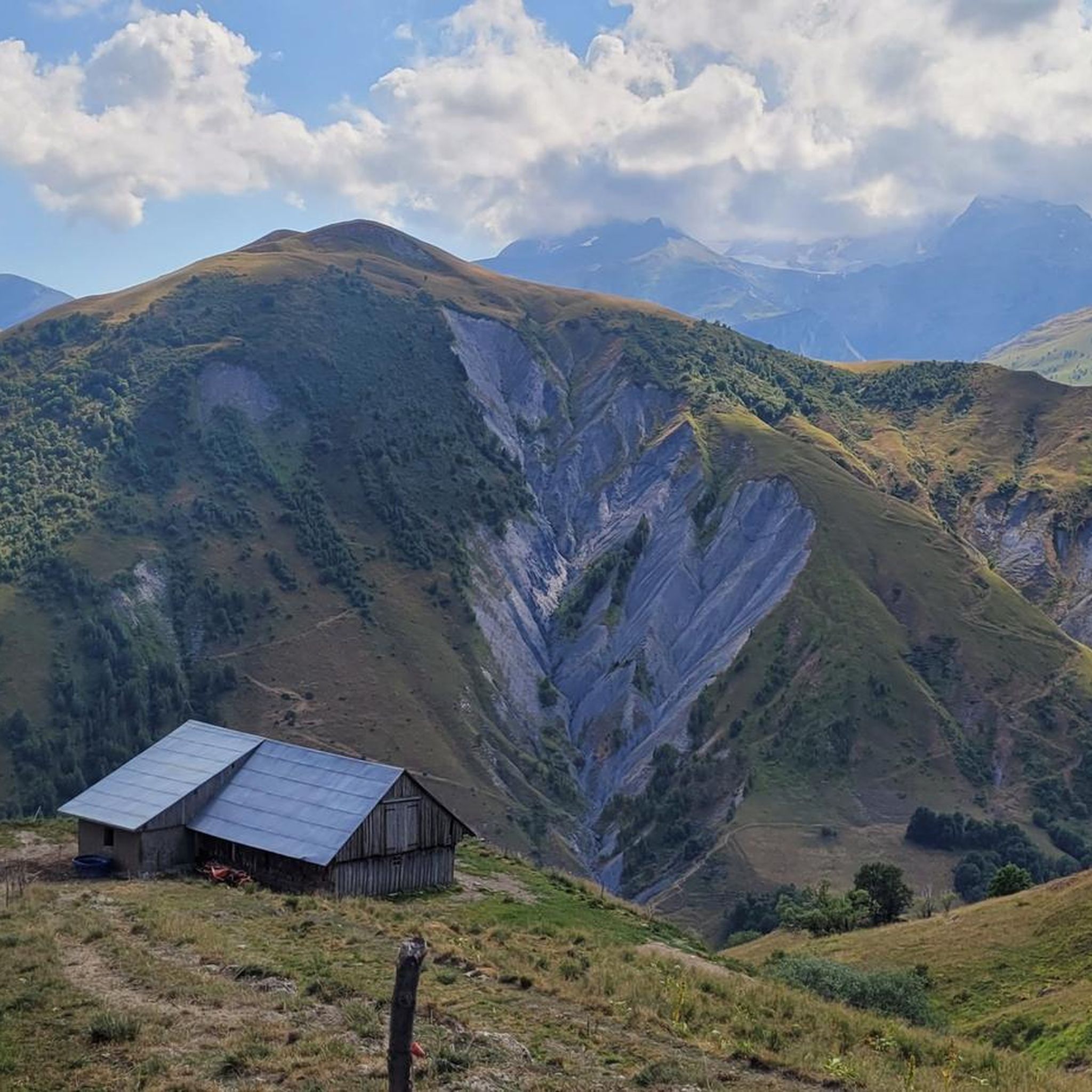
Mountaineering routes around Fontcouverte-La-Toussuire are situated within the Arvan Villard massif of Savoie, France, offering a diverse alpine environment. The region features extensive high-altitude mountain pastures, prominent peaks such as Pointe de l'Ouillon, and dramatic backdrops like the Aiguilles d'Arves. Notable mountain passes, including Col du Glandon and Col de la Croix de Fer, define the landscape, providing varied terrain for exploration.
Best mountaineering routes around Fontcouverte-La-Toussuire
- The most popular mountaineering route is Col de la Croix de Fer (Iron…
Last updated: July 6, 2026
5.0
(2)
5
hikers
8.91km
04:21
590m
590m
Hard mountaineering route. Good fitness required. Sure-footedness, sturdy shoes and alpine experience required.
5.0
(1)
13
hikers
Hard mountaineering route. Very good fitness required. Mostly accessible paths. Sure-footedness required.

Sign up for free
5.0
(1)
2
hikers
8.33km
03:35
610m
610m
Moderate mountaineering route. Good fitness required. Mostly accessible paths. Sure-footedness required.
1
hikers
9.01km
03:11
500m
500m
Moderate mountaineering route. Good fitness required. Easily-accessible paths. Suitable for all skill levels.
1
hikers
2.82km
00:56
140m
130m
Easy mountaineering route. Great for any fitness level. Easily-accessible paths. Suitable for all skill levels.
Our route recommendations are based on thousands of hikes, rides, and runs completed by other people on komoot.
Start today with a free account
Your next adventure awaits.
Login or Signup
Popular around Fontcouverte-La-Toussuire

Tips from the Community

The road is long but it's worth it.
0
0

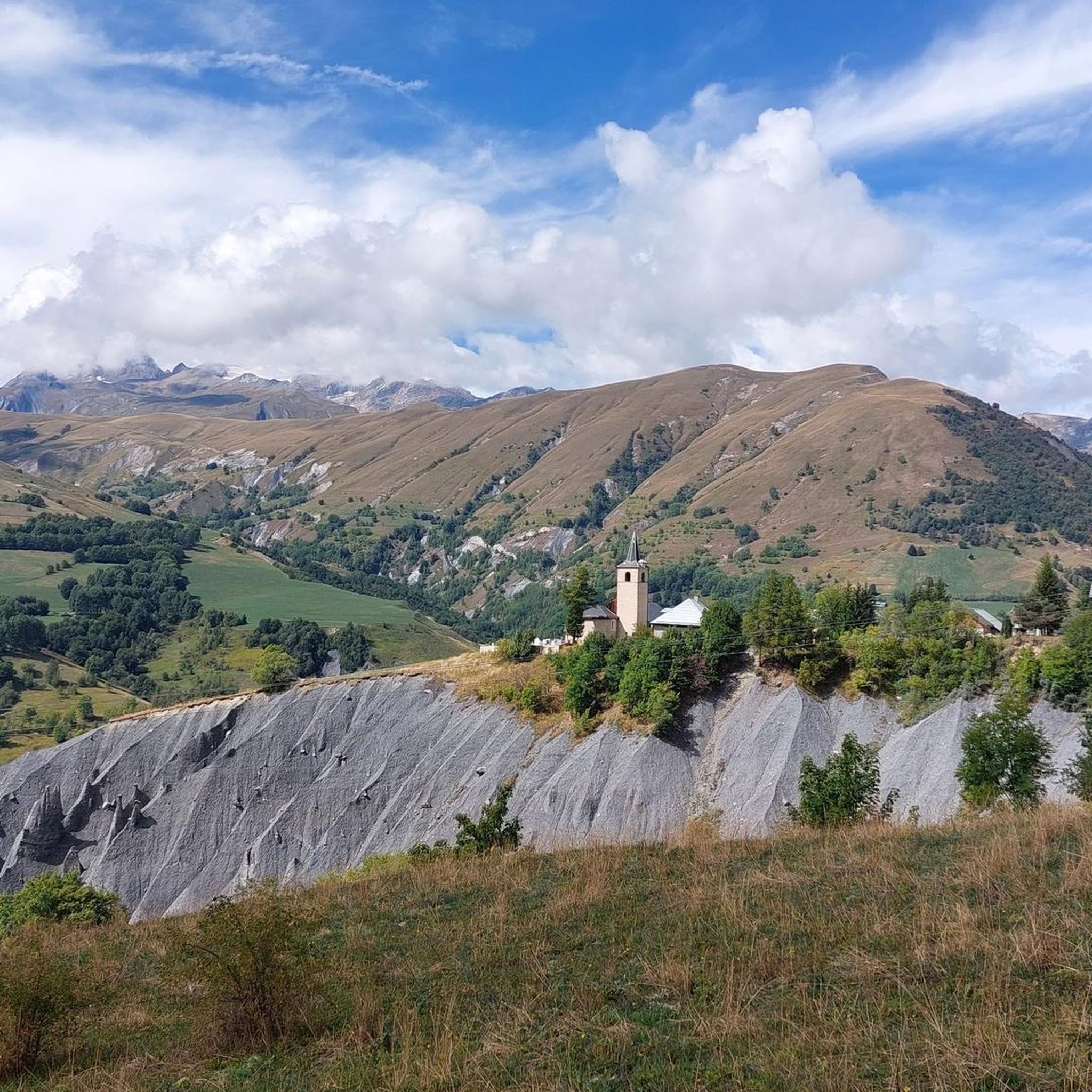
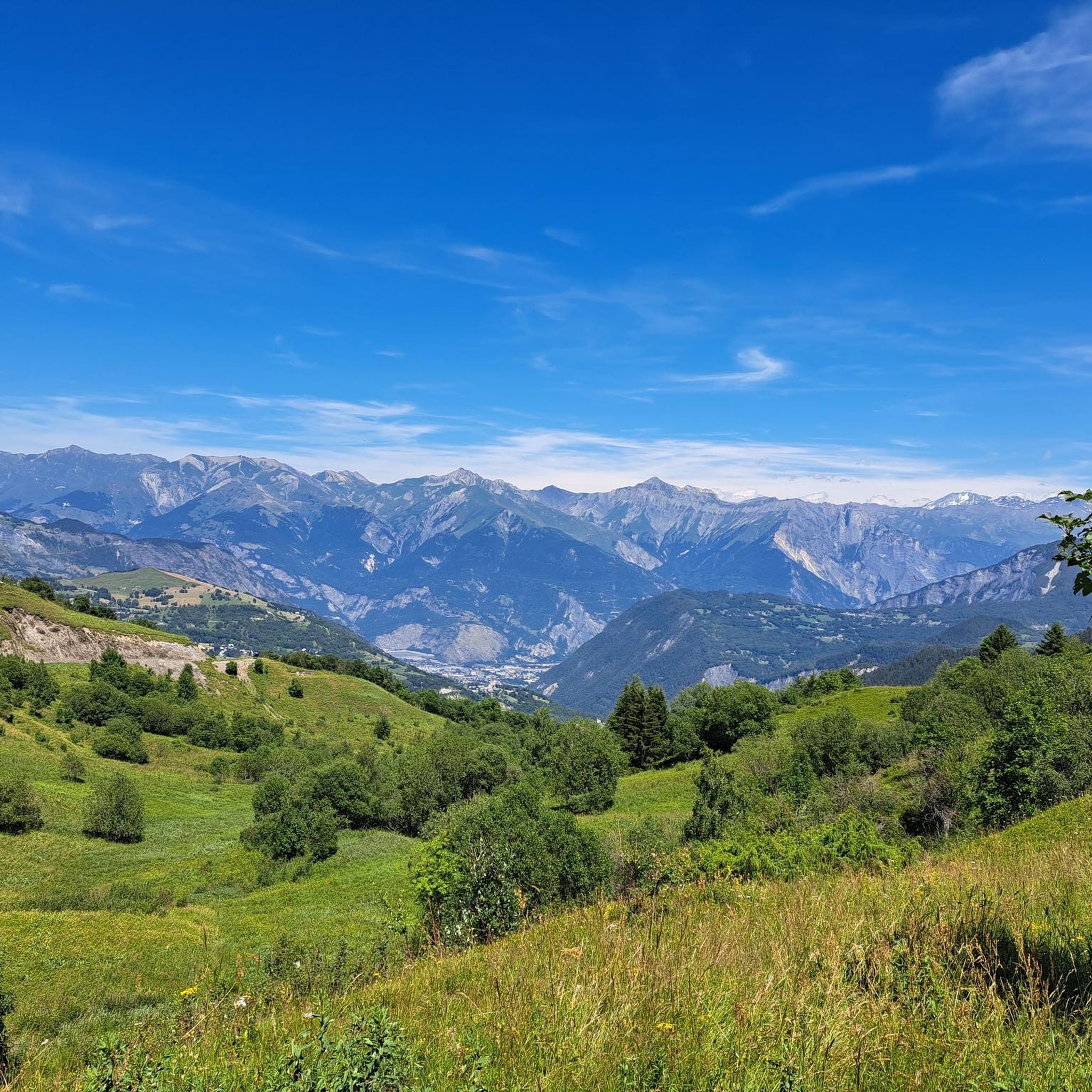
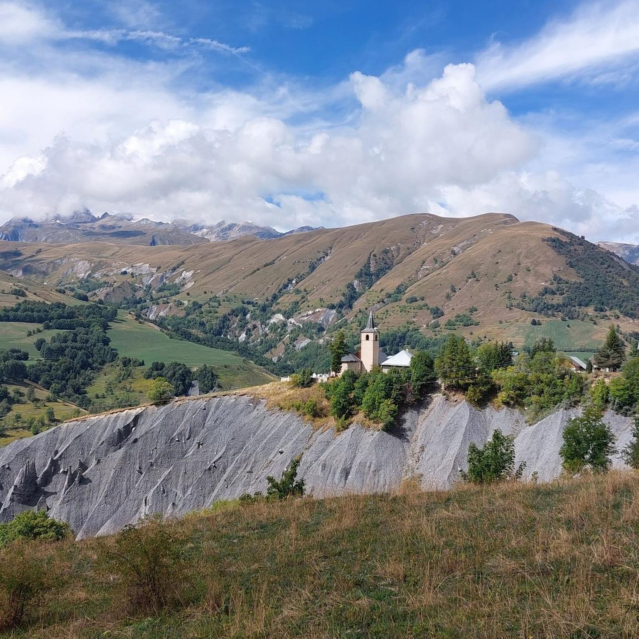
The descent from the Col du Glandon towards the north offers a striking view towards the valley, the Col de la Madeleine and the Mont Blanc massif.
0
0
The climb is easy and worth the effort. Magnificent view. There's a picnic table...
0
0

At the pass, we find engraved markers indicating the border between France and the House of Savoy
0
0

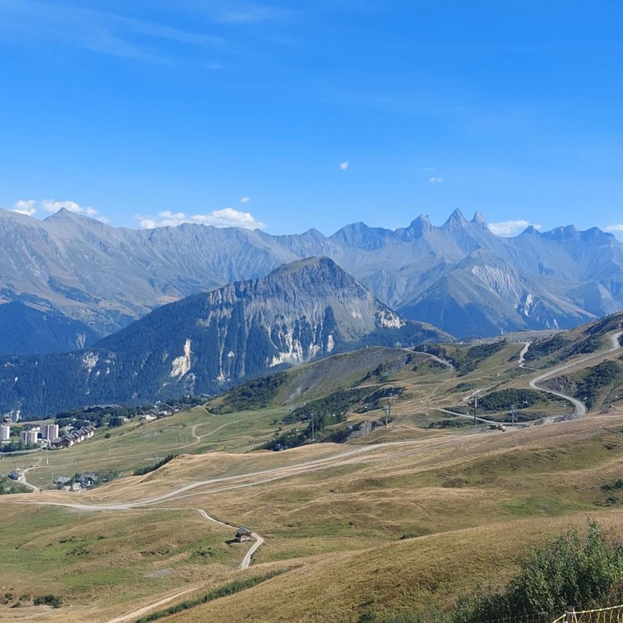
The Col d’Arves, perched at an altitude of 2,100 metres, offers a breathtaking panorama of the majestic Aiguilles d'Arves and the surrounding Alpine peaks. This Alpine pass, accessible by hiking trails, is a privileged place for mountain lovers in search of tranquility and grandiose landscapes. The alpine meadows and green valleys that stretch as far as the eye can see contrast with the snow-capped peaks.
1
0


From here you can enjoy the view of Mont Blanc and be happy that you made it this far.
0
0

Frequently Asked Questions
How many mountaineering routes are available in Fontcouverte-La-Toussuire?
There are 8 mountaineering routes in the Fontcouverte-La-Toussuire region, offering a range of experiences for different skill levels.
Are there easy mountaineering routes suitable for beginners in Fontcouverte-La-Toussuire?
Yes, there is one easy mountaineering route available. The region also offers several moderate trails that can be a good next step for those looking to build experience.
What are some challenging mountaineering routes in the area?
For experienced mountaineers, the region offers challenging routes such as the Lac de la Croix loop from Col du Glandon. This route is rated difficult and provides a demanding experience with significant elevation gain.
Are there circular mountaineering routes in Fontcouverte-La-Toussuire?
Most of the mountaineering routes in Fontcouverte-La-Toussuire are circular, allowing you to start and end at the same point. Examples include the Col de la Croix de Fer loop and the La Grande Verdette – Pointe de l'Ouillon loop.
What notable landmarks or natural features can I see along the mountaineering routes?
The region is rich in natural beauty and landmarks. You can encounter famous mountain passes like Col de la Croix de Fer and Mollard Pass. Routes also offer views of the dramatic Aiguilles d'Arves and the opportunity to reach summits like La Toussuire Summit, providing breathtaking panoramas.
What kind of views can I expect on these mountaineering routes?
Mountaineering in Fontcouverte-La-Toussuire offers spectacular alpine views. From peaks like Pointe de l'Ouillon, you can enjoy 360° panoramas encompassing the Oisans region and Vanoise National Park. Many routes also provide views of the Maurienne valley and even distant glimpses of Mont Blanc.
What is the best time of year for mountaineering in Fontcouverte-La-Toussuire?
The summer months are ideal for mountaineering in Fontcouverte-La-Toussuire, when the high-altitude mountain pastures are accessible and the weather is generally favorable. While winter offers skiing, dedicated mountaineering routes are best enjoyed outside of heavy snow seasons.
Are there opportunities for wildlife spotting on the trails?
Yes, the alpine environment of Fontcouverte-La-Toussuire provides opportunities to observe local flora and fauna. Hikers have reported seeing ibex and various birds of prey, particularly around scenic spots like Montagnette lake.
What do other mountaineers enjoy most about the routes in Fontcouverte-La-Toussuire?
The area is highly rated by the komoot community, with an average score of 4.8 stars. Reviewers often praise the stunning panoramic views, the diverse terrain, and the sense of accomplishment from reaching high mountain passes and summits.
Are there any routes that pass by famous cycling climbs?
Yes, some mountaineering routes are in proximity to famous cycling landmarks. For instance, the Col de la Croix de Fer loop is situated near the renowned Col de la Croix de Fer, a significant pass featured in the Tour de France. You might also encounter the challenging Montvernier Hairpins in the wider region.
What is the typical duration for a mountaineering route in this region?
The duration of mountaineering routes varies depending on their difficulty and length. For example, a moderate route like the Mont Charvin – Col d'Arves loop can take around 3.5 hours, while more challenging routes may require 4-5 hours or more to complete.
Most popular routes around Fontcouverte-La-Toussuire
Most popular attractions around Fontcouverte-La-Toussuire

Get inspired with the komoot mobile app


Explore more
Browse the best Mountain Hikes & Routes in other regions.
