The best mountain hikes around Ala Di Stura
4.9
(8)
24
hikers
3
hikes
Mountaineering around Ala Di Stura, nestled in the Lanzo Valleys northwest of Turin, Italy, offers diverse landscapes for outdoor activities. The region features varied altimetry, ranging from 600 to over 3000 meters, with challenging rock formations, plateaus, and snow-capped peaks. Its terrain includes river waters, side valleys, and extensive networks of trails suitable for mountaineering.
Best mountaineering routes around Ala Di Stura
- The most popular mountaineering route is Rocca Candelera loop from Usseglio, a 2.1 miles (3.3 km) trail…
Last updated: July 4, 2026
5.0
(2)
13
hikers
3.32km
02:43
490m
490m
Hard mountaineering route. Good fitness required. Sure-footedness, sturdy shoes and alpine experience required.
4.8
(5)
9
hikers
10.5km
06:36
1,130m
1,130m
Hard mountaineering route. Very good fitness required. Sure-footedness, sturdy shoes and alpine experience required.

Sign up for free
5.0
(1)
2
hikers
14.2km
06:21
1,210m
1,210m
Hard mountaineering route. Very good fitness required. Mostly accessible paths. Sure-footedness required.
Our route recommendations are based on thousands of hikes, rides, and runs completed by other people on komoot.
Start today with a free account
Your next adventure awaits.
Login or Signup
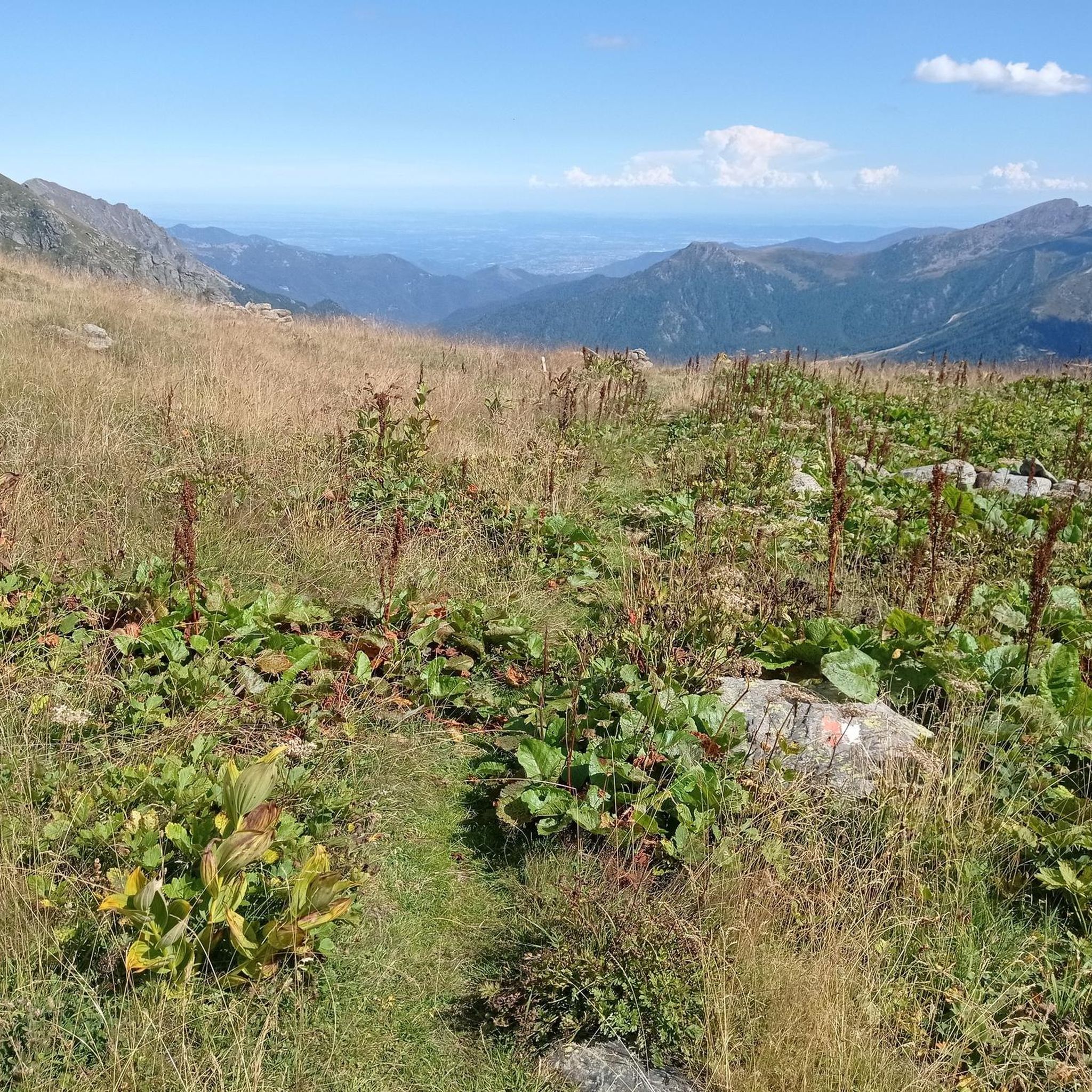
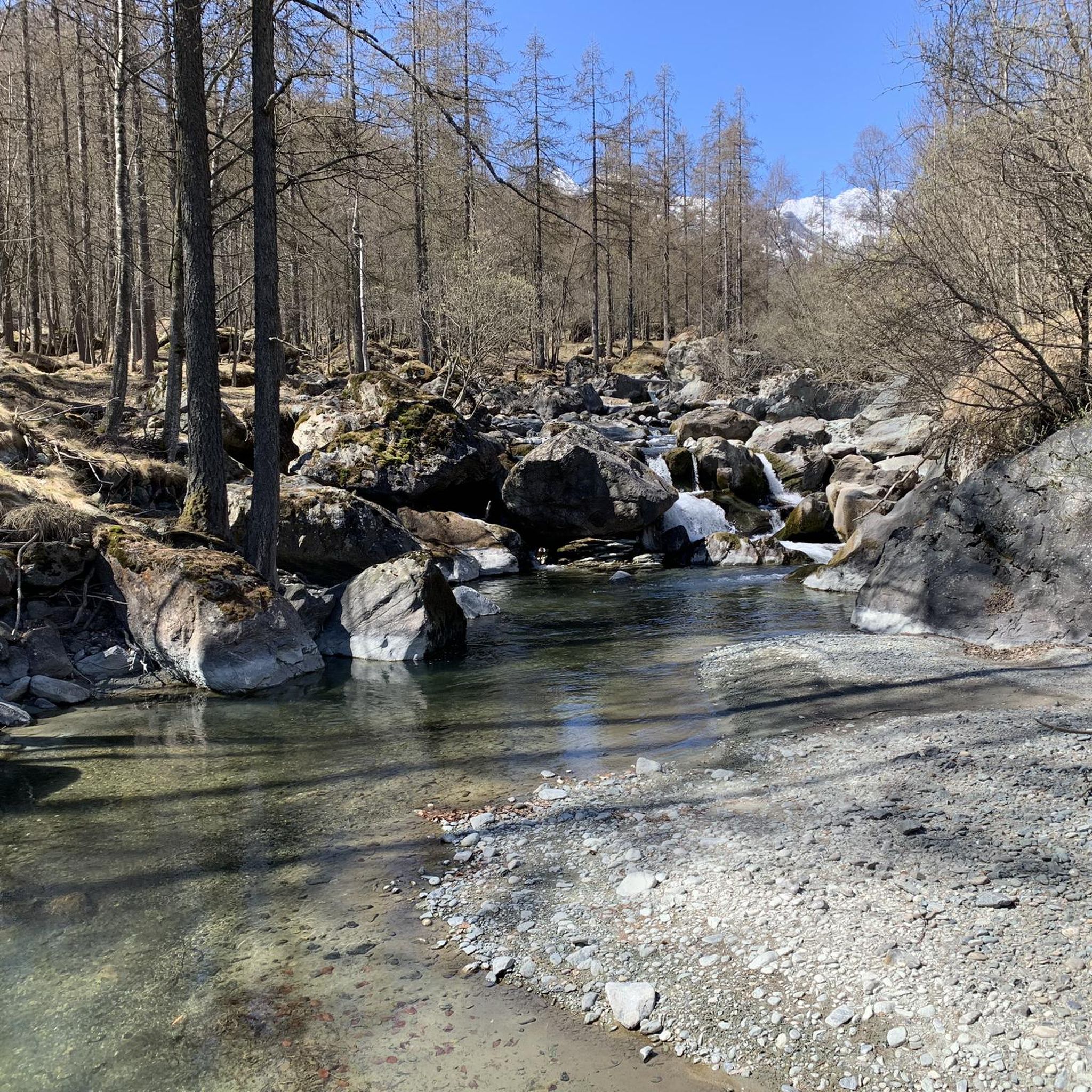
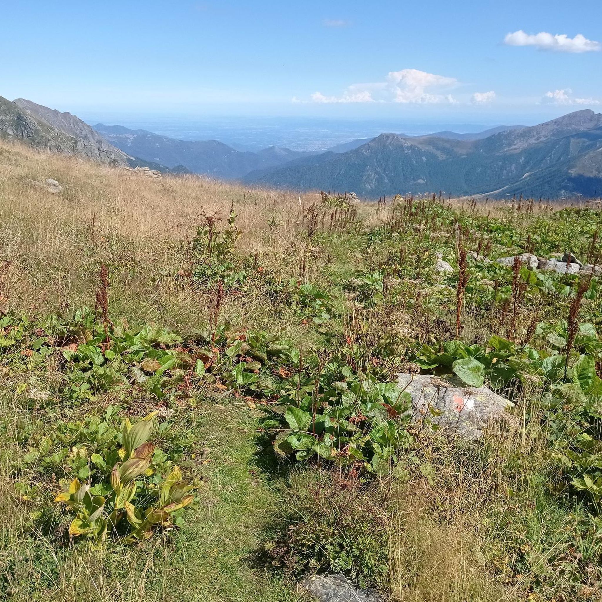
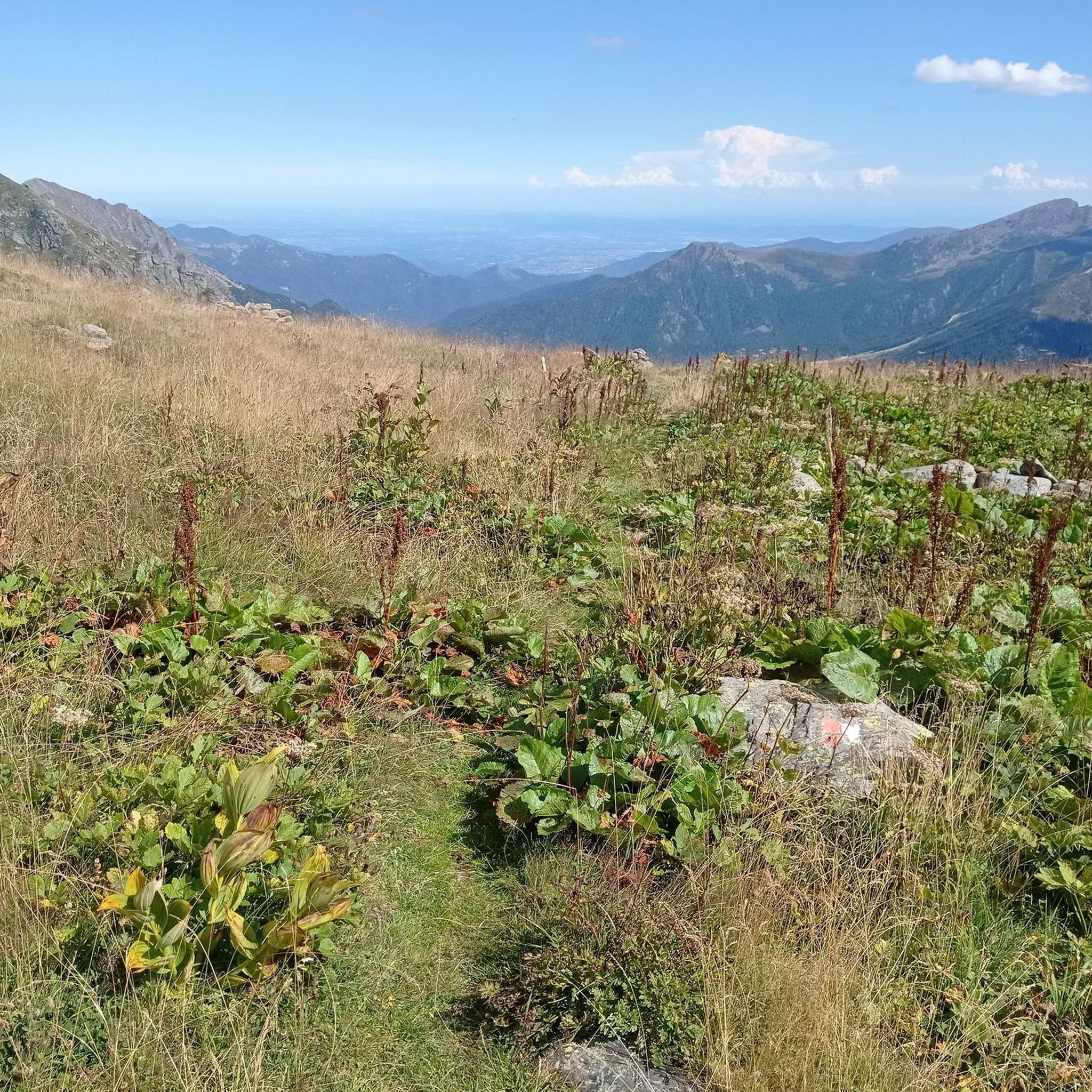
Tips from the Community

Rif. Ciriè is in a charming location. The owners are friendly and the prices are still reasonable. Highly recommended!
0
0

Excellent pasta and polenta! Highly recommended for lunch at the refuge!
0
0
excellent lunch, the pasta and polenta are worth trying!
0
0
Excellent lunch, affordable price! The pasta and polenta are worth trying.
0
0

The refuge is located at the end of Pian della Mussa, easily reached on foot on a paved road in a couple of minutes from the last parking lot before the traffic ban. Those willing to hike another hour, along a trail that's steep in places, can reach the beautiful Piano Ciamarella, and it's also possible to take a circular hike.
0
0

You can barely see it in the photo, but the wooden footbridge has almost completely collapsed. To cross the river towards Ciamarella, you have to go forward about 10-15 meters. You can cross the river by walking over some rocky outcrops. The best spot is marked with cairns.
0
0

Damaged but passable (August 2024)
0
0

Frequently Asked Questions
What types of mountaineering routes can I find in Ala di Stura?
Ala di Stura offers a diverse range of mountaineering routes, from moderate ascents to challenging high-altitude expeditions. The region features varied altimetry, with terrain including river waters, side valleys, and extensive networks of trails. You'll find routes traversing high alpine terrain, forested sections, and open slopes.
Are there any moderate mountaineering routes suitable for those with some experience?
Yes, Ala di Stura has several moderate mountaineering routes. For example, the Punta Sourela loop from Col San Giovanni is a 6.4 km trail that takes about 2 hours 53 minutes, leading through varied landscapes. Another option is the Lago Paschiet (Snow-Covered) loop from Balme, which is 7.4 km long and typically takes around 3 hours 45 minutes.
What are some challenging mountaineering routes in the area?
For experienced mountaineers, Ala di Stura offers demanding routes. The Collapsed Bridge – Uia di Ciamarella loop from Rifugio Bartolomeo Gastaldi is a difficult 10.5 km path that traverses high alpine terrain with significant elevation gain, typically requiring over 6 hours. Another challenging option is the Rocca Candelera loop from Usseglio, a 3.3 km difficult route with substantial elevation gain, usually completed in about 2 hours 43 minutes.
What natural features and landmarks can I expect to see along the routes?
The region is rich in natural beauty. You can expect to see majestic mountains like Bessanese, Uja di Mondrone, and Monte Rosso, offering breathtaking panoramic views. The Stura river flows through the area, and you might encounter natural attractions like the Cascate di Gura, hidden waterfalls offering tranquil escapes. The landscape also features green meadows, thick woods, and alpine pastures.
Are there any mountain huts or refuges available along the trails?
Yes, the presence of welcoming mountain huts and refuges provides convenient resting points and local culinary experiences. Notable options include Salvin Hut, Città di Ciriè Mountain Hut, and Bartolomeo Gastaldi Refuge. These are great spots to connect with nature and enjoy the alpine environment.
What is the best season for mountaineering in Ala di Stura?
While the region offers winter sports like skiing and snowshoeing, the best season for mountaineering and hiking is typically from late spring to early autumn. During these months, the trails are generally free of snow, and the weather conditions are more favorable for high-altitude ascents and extended treks. Always check local conditions before heading out.
Are there any circular mountaineering routes in Ala di Stura?
Yes, many routes in Ala di Stura are designed as loops, allowing you to start and end at the same point. Examples include the Punta Sourela loop from Col San Giovanni and the Lago Paschiet (Snow-Covered) loop from Balme. These circular routes offer varied scenery without retracing your steps.
What do other mountaineers say about the routes in Ala di Stura?
The mountaineering routes in Ala di Stura are highly rated by the komoot community, with an average score of 4.9 stars from 8 reviews. Mountaineers often praise the diverse landscapes, from challenging rock formations to serene alpine pastures, and the rewarding views from the peaks.
Are there any other points of interest near the mountaineering routes?
Beyond the natural landscapes, you can explore other points of interest. The Ascent from Viù to Colle del Lys offers magnificent views, and the Dieta Pass (Mezzenile) is another notable mountain pass. For a cultural stop, consider visiting the Sanctuary of Our Lady of the Angels.
How many mountaineering routes are available in Ala di Stura?
There are over 5 mountaineering routes documented in Ala di Stura, offering a range of experiences for different skill levels. The region is known for its extensive network of trails suitable for alpine pursuits.
Is Ala di Stura suitable for beginner mountaineers?
While Ala di Stura is known for its challenging landscapes and rich history in alpine pursuits, there are moderate routes that can be suitable for beginners with some hiking experience looking to transition into mountaineering. Routes like the Monte di Santa Cristina loop from Ceres offer a good introduction to the region's terrain without extreme difficulty.
Most popular routes around Ala Di Stura
Most popular attractions around Ala Di Stura

Get inspired with the komoot mobile app


Explore more
Browse the best Mountain Hikes & Routes in other regions.
