The best walks and hikes around Ala Di Stura
4.4
(1561)
6,425
hikers
58
hikes
Hiking around Ala Di Stura offers diverse landscapes within the Valli di Lanzo, characterized by dramatic mountainous terrain. The region features high summits, alpine pasturelands, dense beech and larch woods, and natural elements like valleys, alpine lakes, and waterfalls. Trails traverse varied environments, providing views of the Val Grande di Lanzo and other mountain groups.
Best hiking trails around Ala Di Stura
- The most popular hiking route is Pian d'Attia Trail, a 5.5 miles (8.9 km) trail that takes…
Last updated: October 10, 2026
4.5
(6)
16
hikers
6.60km
01:53
160m
160m
Easy hike. Great for any fitness level. Easily-accessible paths. Suitable for all skill levels.
4.5
(13)
43
hikers
8.88km
05:11
990m
990m
Hard hike. Very good fitness required. Mostly accessible paths. Sure-footedness required.

3.4
(5)
13
hikers
13.5km
05:59
1,120m
1,120m
Hard hike. Very good fitness required. Mostly accessible paths. Sure-footedness required.
4.3
(3)
8
hikers
9.42km
05:57
1,190m
1,190m
Hard hike. Very good fitness required. Mostly accessible paths. Sure-footedness required.
3.5
(4)
8
hikers
9.19km
05:48
1,200m
1,200m
Hard hike. Very good fitness required. Sure-footedness, sturdy shoes and alpine experience required.
Get access to more routes and recommendations from other explorers.
Already have an account?
Our route recommendations are based on thousands of hikes, rides, and runs completed by other people on komoot.
Start today with a free account
Your next adventure awaits.

Tips from the Community

Pian d'Attia is great for a mountain picnic, easy enough to reach on foot.
0
0
A few huts and a nice plateau for picnics (on the lawn)
0
0

Ventilated plateau for rest/refreshment
0
0

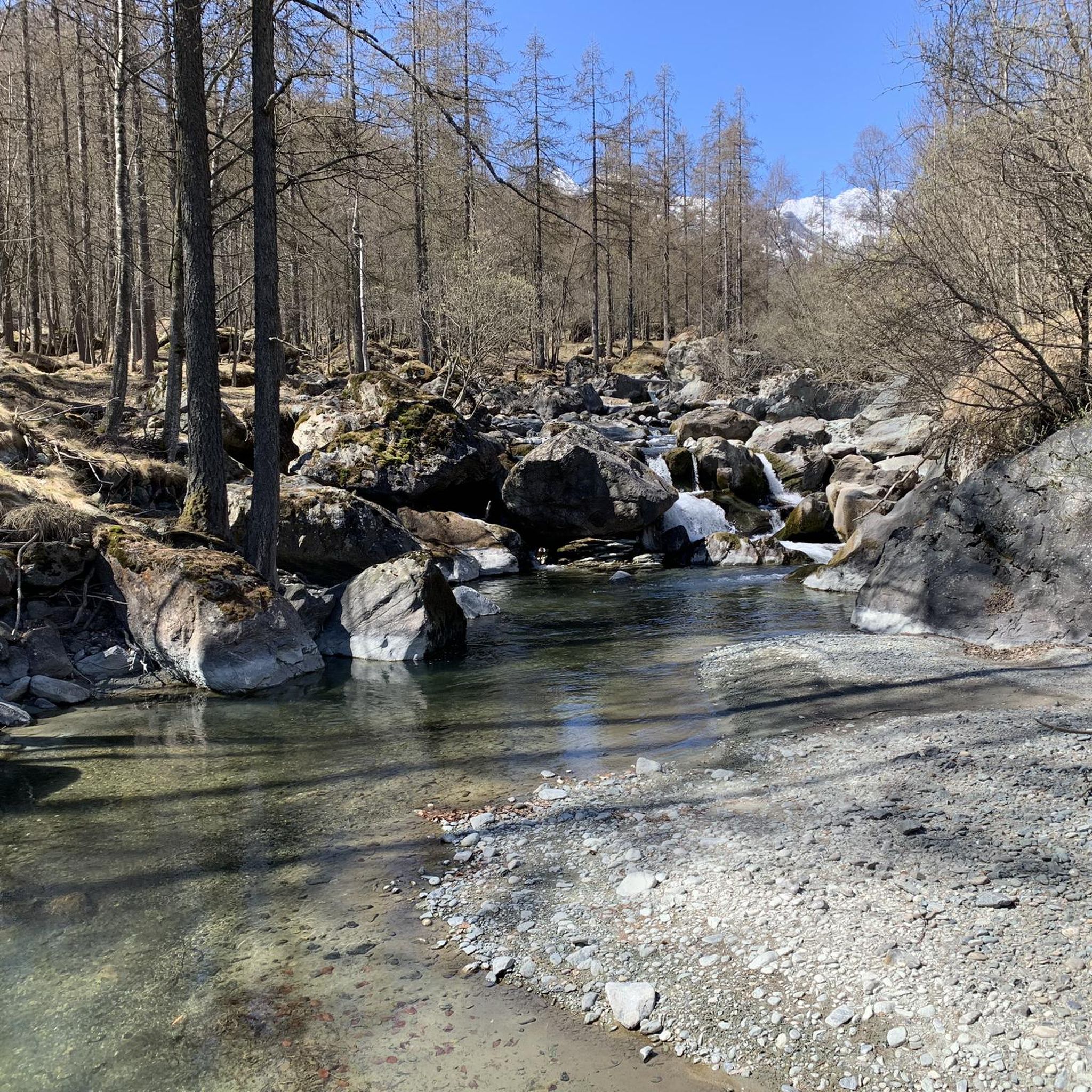
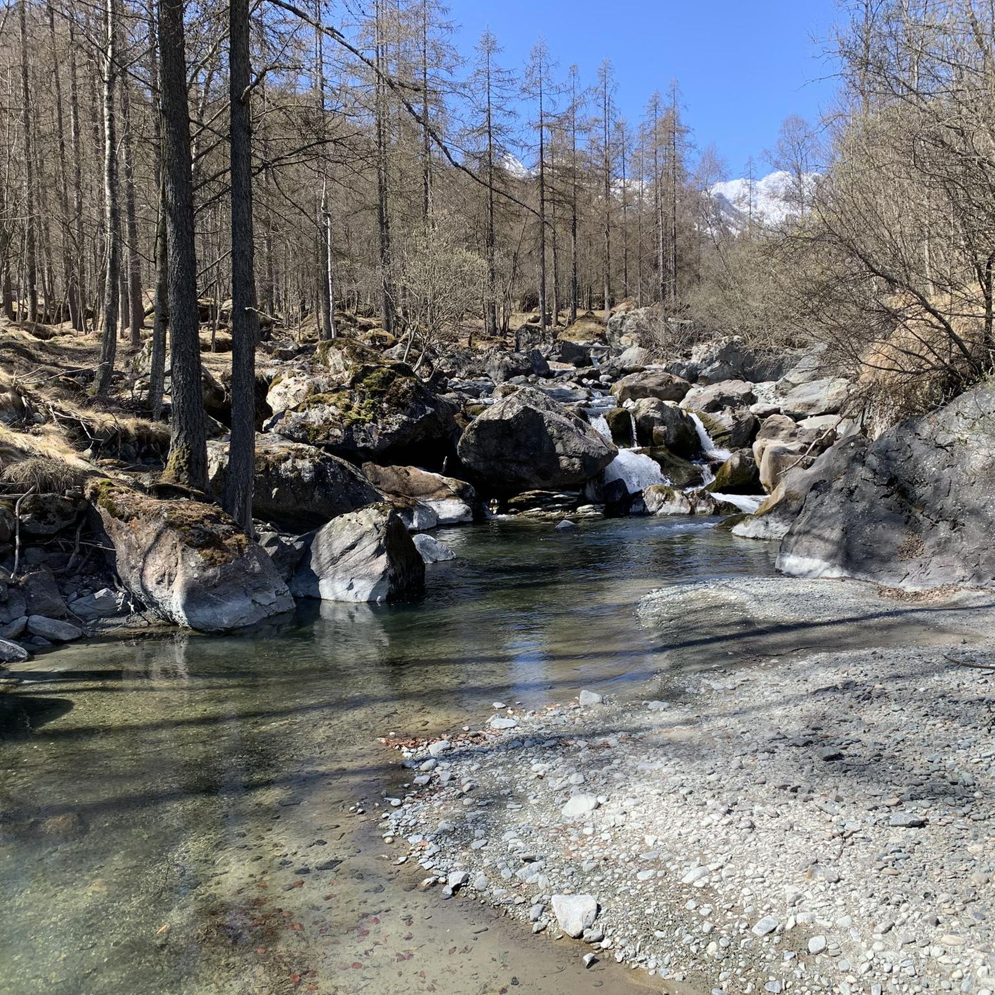
This waterfall can be admired from the pedestrian bridge with glass banks, which crosses the narrow gorges through which this stream passes
1
0
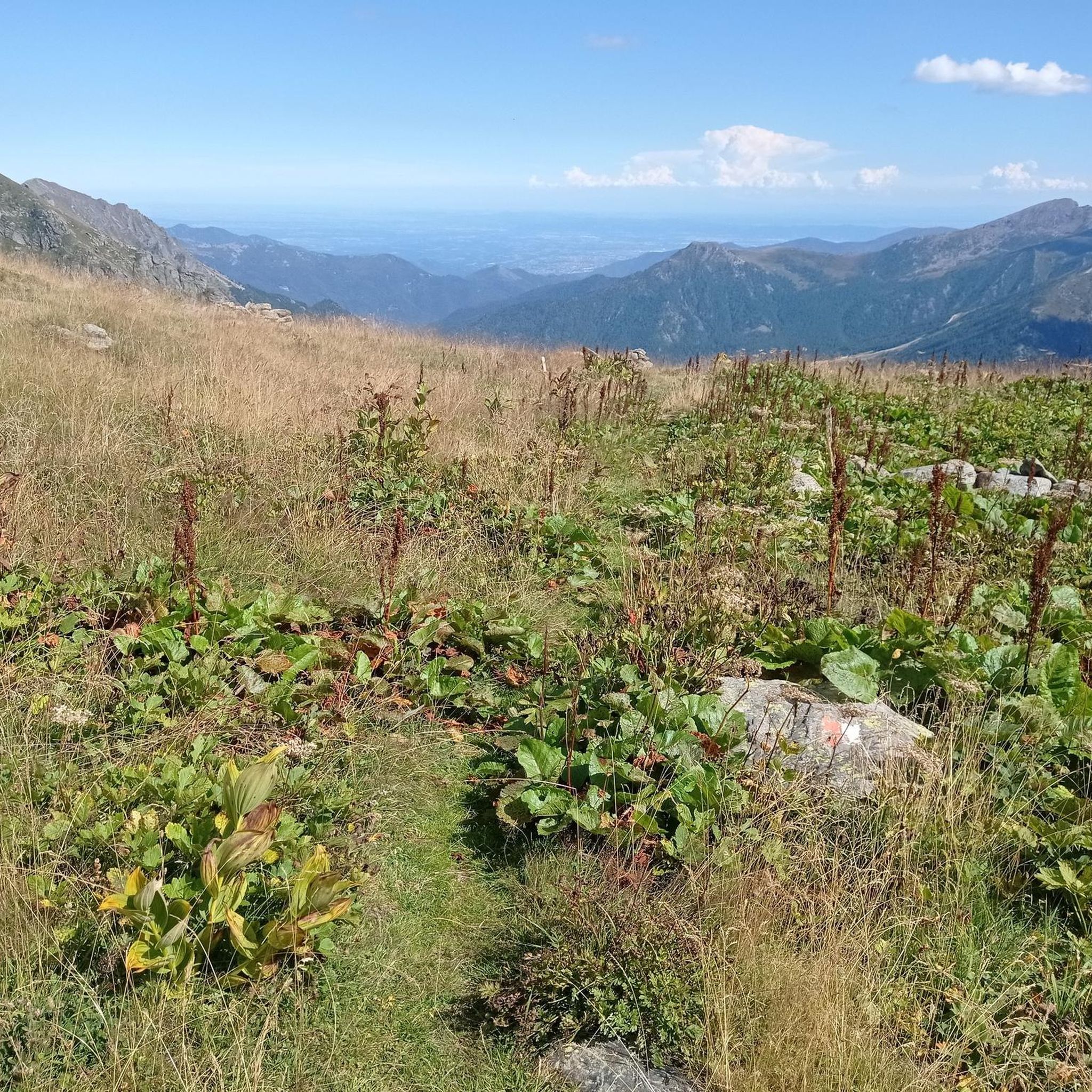
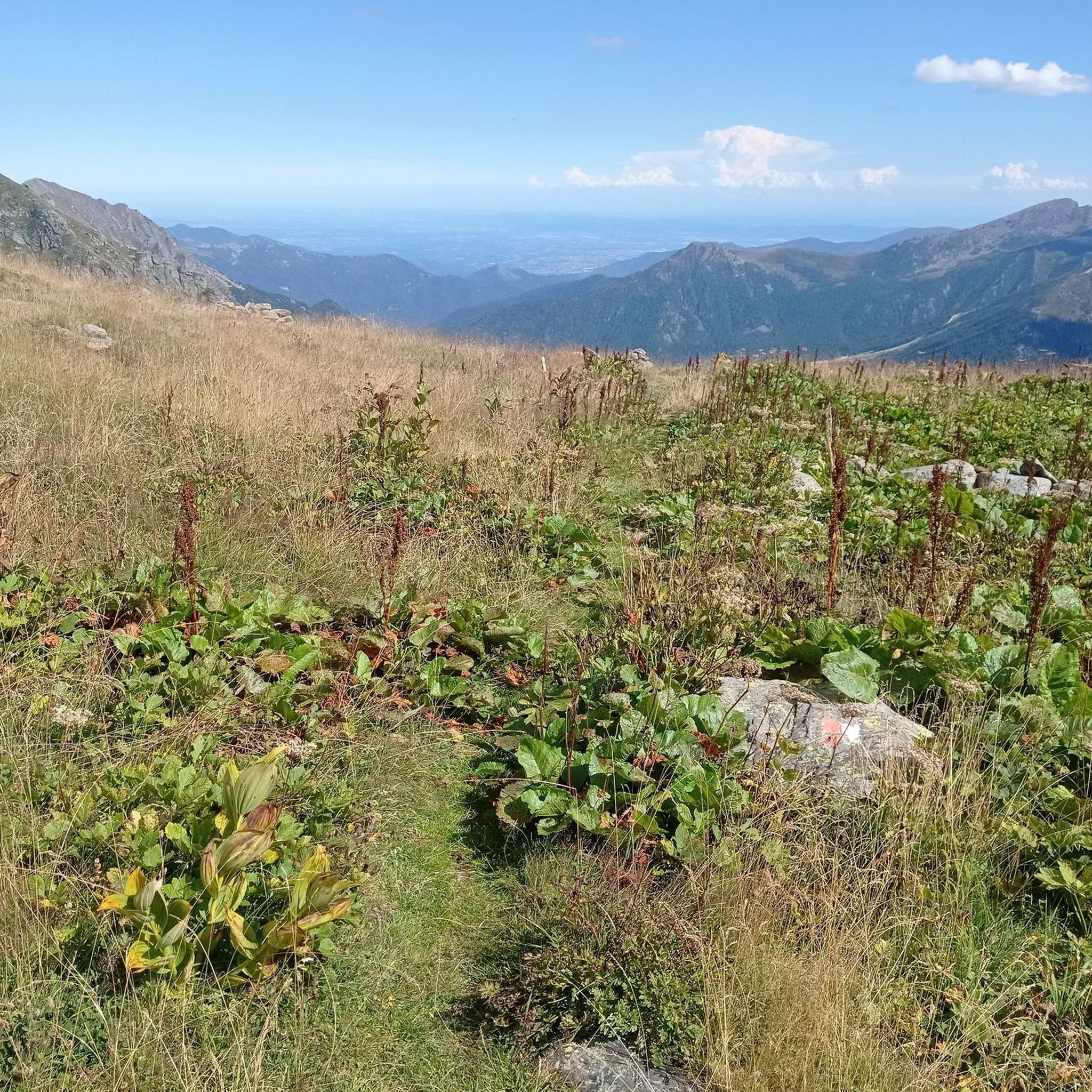
Balcony overlooking Ala di Stura and its peaks, where there is also an area with benches, a fountain to stock up on water, a beautiful votive pylon
2
0

For a few meters the path continues on the rocks, but I can reassure you that it is nothing difficult. There are lateral handholds that facilitate the passage
1
0
Another beautiful alpine lake in the Lanzo valleys, reachable from both the Viù valley and the Ala valley
0
0
Frequently Asked Questions
What kind of terrain can I expect on hikes in Ala Di Stura?
Hikes in Ala Di Stura traverse a diverse and dramatic mountainous terrain. You'll find trails leading through serene alpine pasturelands, dense beech and larch woods, and sunny mountain pastures. The region features high summits like Punta Albaron di Sea and Uja di Mondrone, offering challenging treks and spectacular backdrops. You can also expect to encounter natural elements such as valleys, alpine lakes, rocky walls, and waterfalls.
Are there easy hiking trails suitable for beginners in Ala Di Stura?
Yes, Ala Di Stura offers a variety of trails, including 9 easy routes perfect for beginners or those looking for a more relaxed walk. These paths often lead through picturesque landscapes without significant elevation gain, making them accessible for various fitness levels.
What natural features or landmarks can I see while hiking in Ala Di Stura?
While hiking, you can discover stunning natural features such as the Rio Chianale valley, alpine lakes like Lago di Dres and Lake della Rossa, and various waterfalls. The trails also offer panoramic views of the Val Grande di Lanzo, the Gran Paradiso group, Monviso, and the Maritime Alps chain. You might also encounter charming historical elements like ancient stone houses and frescoes in the 22 hamlets of Ala di Stura.
Are there any trails that feature waterfalls in Ala Di Stura?
Yes, you can experience waterfalls on trails in Ala Di Stura. For example, the Waterfall trail through Mondrone Gorges (via Trail 209B) is an easy route that allows you to explore this natural feature.
Can I find mountain huts or refuges along the hiking routes?
Yes, there are mountain huts and refuges available in the area. The Salvin Hut is a welcoming mountain refuge known for its local polenta, accessible on foot or by car. Other options include the Città di Ciriè Mountain Hut and the Bartolomeo Gastaldi Refuge, providing peaceful retreats amidst nature.
What do other hikers enjoy most about hiking in Ala Di Stura?
The komoot community highly rates the hiking experience in Ala Di Stura, with an average score of 4.5 stars from over 1200 reviews. Hikers often praise the diverse landscapes, from high summits to serene alpine pasturelands, and the breathtaking panoramic views of the surrounding mountain ranges.
Are there any circular hiking routes in Ala Di Stura?
Yes, Ala Di Stura offers various hiking experiences, including scenic loops. While specific circular routes are not detailed here, the region's network of trails allows for many possibilities to create round trips, letting you explore diverse environments and return to your starting point.
Are there any multi-day hiking opportunities in Ala Di Stura?
Yes, the region supports multi-day routes, traversing beautiful and solitary alpine pasture landscapes. These longer treks often lead to numerous alpine lakes and provide extensive panoramic views over the peaks of the middle Val di Viù, offering a more immersive experience.
What is the best time of year to go hiking in Ala Di Stura?
While specific seasonal recommendations are not provided, the presence of alpine pasturelands, dense woods, and rhododendron bushes suggests that spring and summer would be ideal for enjoying the vibrant flora and accessible trails. Autumn would likely offer stunning fall foliage, while winter would cater to snowshoeing and backcountry skiing.
Are there any challenging hikes with significant elevation gain in Ala Di Stura?
Absolutely. Ala Di Stura is known for its dramatic mountainous terrain and offers 20 difficult routes with significant elevation gain. Trails like the Alpine climb to Colle Croset (via Route 236), with over 1196 meters of ascent, provide challenging experiences for experienced hikers.
Can I access hiking trails in Ala Di Stura using public transport?
The region is nestled in the Valli di Lanzo within the Metropolitan City of Turin, Italy. While specific public transport connections to trailheads are not detailed, it's advisable to check local transport schedules from Turin to Ala di Stura. Many trailheads in mountainous regions often require private vehicle access or local shuttle services.
Is there parking available at the trailheads in Ala Di Stura?
Information on specific trailhead parking is not provided, but for popular hiking areas like Ala Di Stura, it is common to find designated parking areas near trail starting points, especially for well-known routes. It is recommended to check local signage or tourist information upon arrival for the most accurate parking details.
Most popular routes around Ala Di Stura
Most popular attractions around Ala Di Stura

Get inspired with the komoot mobile app


Explore more
Browse the best Hikes in other regions.
