The best running trails around Pozondón
5.0
(2)
482
runners
25
runs
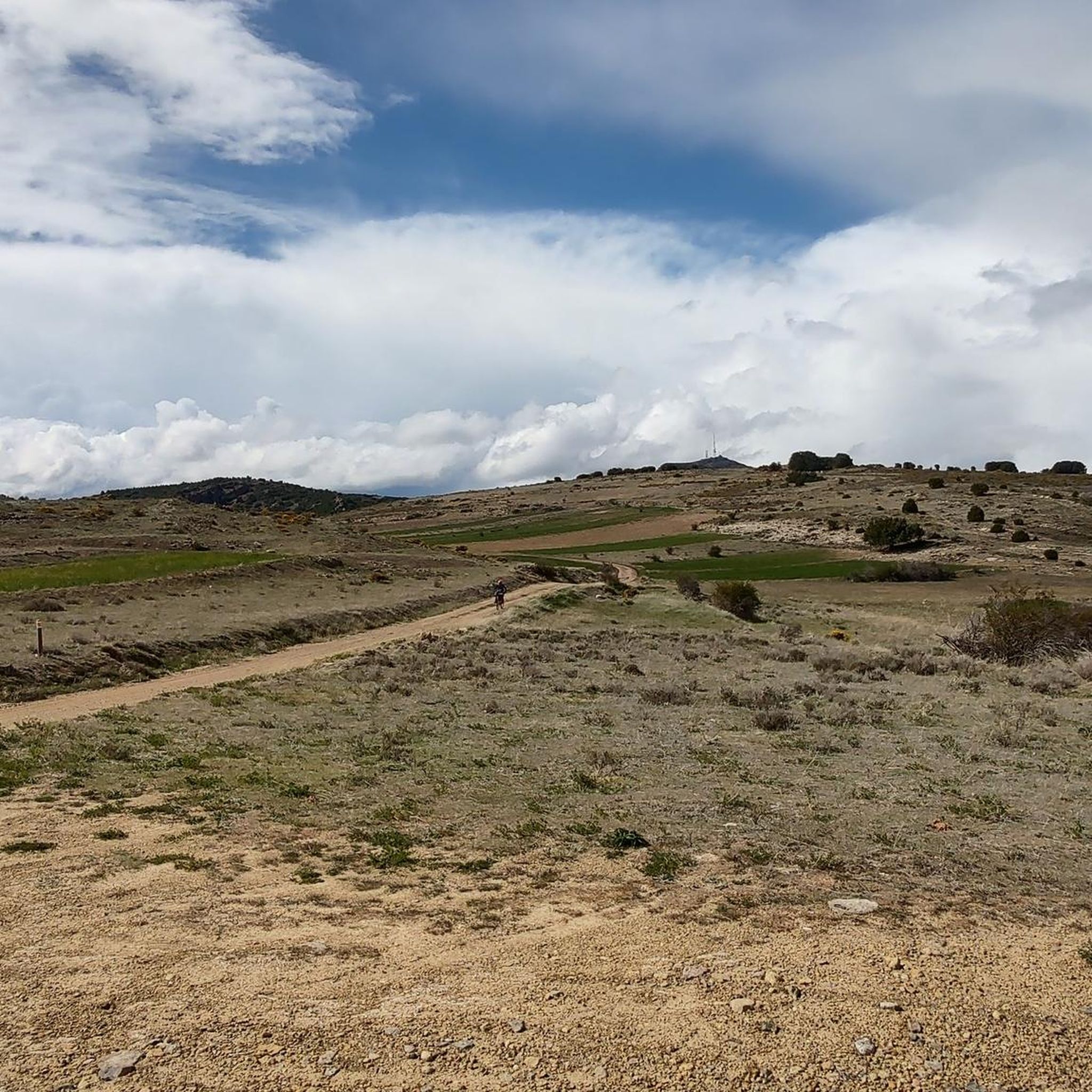
Jogging around Pozondón offers access to the diverse landscapes of the Sierra de Albarracín, characterized by pine and oak forests, interspersed with unique red sandstone formations. The region provides a mix of unpaved paths and gravel trails, suitable for various running experiences. Elevations contribute to a refreshing environment, with routes winding through serene woodlands and past exposed rock formations.
Best jogging routes around Pozondón
- The most popular jogging route is Bronchales Town Center – Sierra Alta Summit loop from Bronchales…
Last updated: June 29, 2026
139
runners
29.1km
04:14
1,220m
1,210m
Hard run. Very good fitness required. Mostly paved surfaces. Suitable for all skill levels.
99
runners
15.0km
02:10
640m
640m
Hard run. Very good fitness required. Mostly paved surfaces. Suitable for all skill levels.

Sign up for free
10
runners
9.89km
01:07
180m
180m
Moderate run. Good fitness required. Mostly paved surfaces. Suitable for all skill levels.
5.0
(1)
9
runners
5.27km
00:40
160m
160m
Moderate run. Good fitness required. Mostly paved surfaces. Suitable for all skill levels.
7
runners
9.03km
01:08
250m
250m
Moderate run. Good fitness required. Mostly paved surfaces. Suitable for all skill levels.
Get access to more routes and recommendations from other explorers.
Sign up for free
Already have an account?
Our route recommendations are based on thousands of hikes, rides, and runs completed by other people on komoot.
Start today with a free account
Your next adventure awaits.
Login or Signup


Other adventures around Pozondón

Tips from the Community

The Mirador de la Sierra Alta in Noguera de Albarracín is one of the most spectacular spots in the Sierra de Albarracín, ideal for nature lovers, photographers, and hikers. It is located approximately 1,854 meters above sea level, making it one of the highest points in the area.
4
0

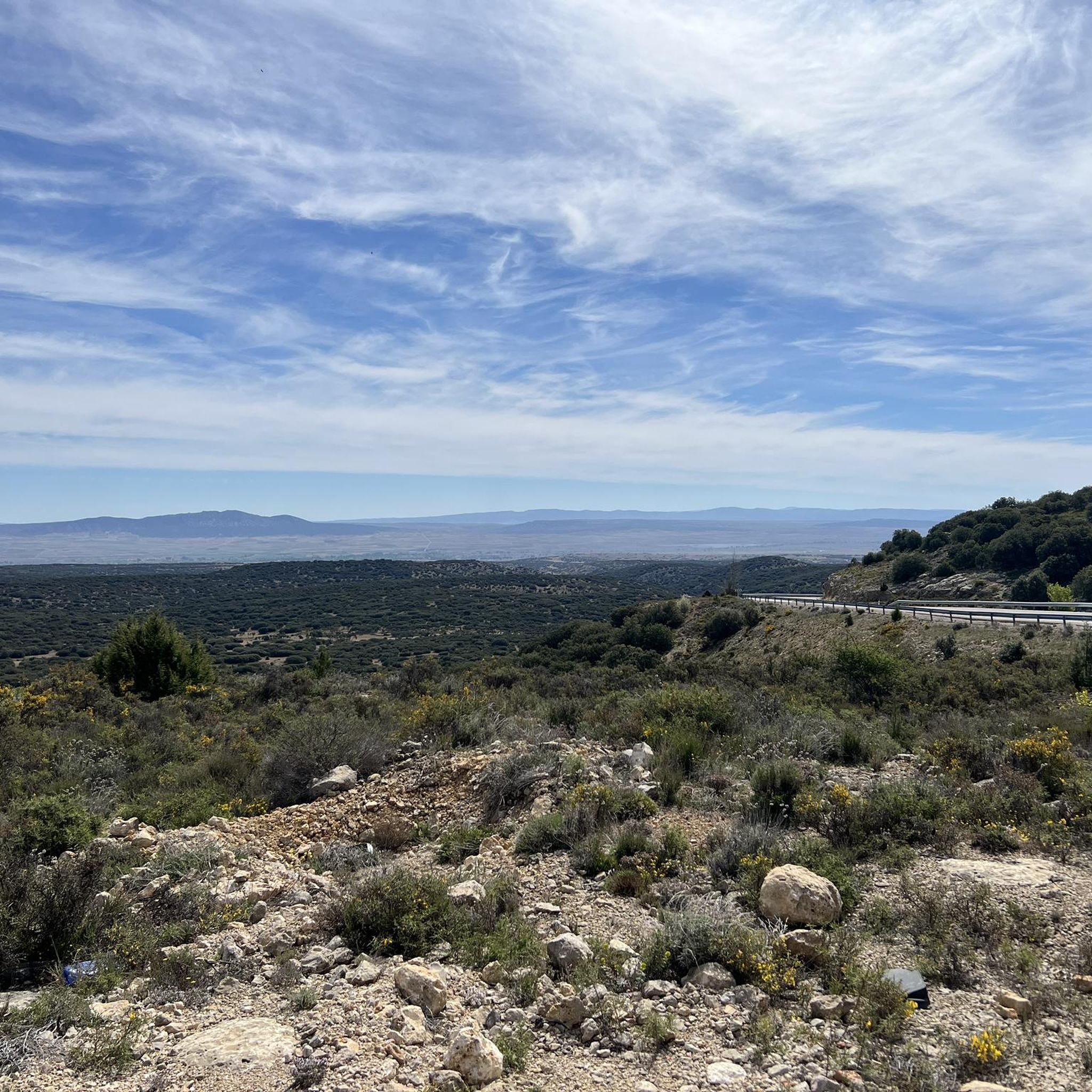
The top of the Sierra Alta is 1854 meters above sea level. From the viewpoint of the Sierra Alta we will have impressive views of infinite pine trees that we will surely photograph. The access here is really good.
1
0
We are in Bronchales, a town located in the Sierra de Albarracín, in the southwest of the province of Teruel with a diversity of natural and cultural heritage such as the beautiful Hermitage of Santa Bárbara or the parish church. For lovers of mountain biking, the Bronchales Sierra Alta race begins here, one of the best in the Sierra de Albarracín with endless climbs and heart-stopping descents through the dense Scots pine forests of the Montes Universales at an average altitude of 1,500 meters above sea level.
3
0

The Singing Fountain is not only what its name indicates, but you can also find a couple of shelters in very good condition, tables and chairs to spend a pleasant moment in this wonderful place. In short, it is a recreational and picnic area that is worth visiting if you are in the area!
2
0
The top of the Sierra Alta is at 1854 meters above sea level. and it is possible to reach it by a very picturesque and quiet path. You can start your way from the town of Bronchales or from the Camping de las Corralizas, in any case follow the signs of the official trail PR-TE 131.
2
0
Frequently Asked Questions
How many running routes are available around Pozondón?
There are over 15 dedicated running routes around Pozondón, offering a diverse range of experiences for all abilities. These routes explore the unique landscapes of the Sierra de Albarracín, from pine forests to red sandstone formations.
Are there easy jogging routes suitable for beginners or a quick run?
Yes, for those seeking an easier or quicker run, the Bronchales Town Center loop from Bronchales is a moderate 3.3-mile (5.3 km) path. It's ideal for a pleasant session through the local area without significant elevation changes.
What kind of terrain can I expect on the running trails in Pozondón?
The running trails in Pozondón feature varied terrain, including unpaved paths, some paved sections, and gravel. This diversity ensures an engaging experience as you navigate through pine, oak, and juniper forests, and past unique red sandstone cliffs characteristic of the Pinares de Rodeno Natural Park.
Are there any challenging running routes for experienced runners?
Absolutely. For experienced runners looking for a challenge, the Bronchales Town Center – Sierra Alta Summit loop from Bronchales is a demanding 18.1-mile (29.1 km) trail with significant elevation gain. Another challenging option is the Sierra Alta Summit – Bronchales Town Center loop from Bronchales, a 9.3-mile (15.0 km) route through pine forests with rewarding views.
Can I find circular running routes in the Pozondón area?
Many of the running routes around Pozondón are designed as loops, offering convenient circular experiences. For instance, the Bassal La Lagunilla – Sierra Alta loop from Bronchales provides a substantial 20.3 km circular trail through the region's diverse landscapes.
What natural attractions or viewpoints can I see while running?
While running in Pozondón, you'll encounter stunning natural features. The trails often lead through the Pinares de Rodeno Natural Park, famous for its red sandstone cliffs and ancient pine forests. You can also find routes with viewpoints like Mirador del Cabrerizo and Mirador Pinares de Rodeno, offering scenic breaks. The Passage between rocks near Peracense Castle is another notable natural formation.
Are there historical sites or landmarks along the running trails?
Yes, several routes combine physical activity with cultural enrichment. Near Pozondón, you can run routes that offer magnificent views of Peracense Castle, a spectacular red-hued fortress integrated into the natural rock formations. Some trails within Pinares de Rodeno also lead to significant prehistoric cave paintings, such as the Bull Shelter of Prado del Navazo.
What do other runners say about the trails in Pozondón?
The running routes in Pozondón are highly regarded by the komoot community, holding an average score of 5.0 stars from over 1 review. Runners frequently praise the diverse topography, the refreshing environment of the Sierra de Albarracín, and the well-maintained paths that cater to various ability levels.
Is Pozondón a good destination for trail running?
Pozondón, situated within the Sierra de Albarracín, is an excellent destination for trail running. The region's diverse topography, including pine forests, exposed rock formations, and varied unpaved paths, provides a rich and engaging experience for trail runners of all abilities, from moderate loops to more challenging ascents.
What is the best time of year to go running in Pozondón?
The Sierra de Albarracín, with its average altitude of around 1,200 meters, offers a refreshing environment. While specific seasonal advice depends on personal preference, the varied terrain and shade from pine forests make it enjoyable across different seasons. Spring and autumn generally offer milder temperatures, ideal for longer runs.
Are there any routes that pass by lakes or water features?
Yes, some routes in the broader area may lead you near water features. For example, the nearby Laguna del Cañizar is a notable lake in the vicinity, offering a different scenic element to your run. The region is also the source of several important rivers, adding to its natural beauty.
Most popular attractions around Pozondón

Get inspired with the komoot mobile app


Explore more
Browse the best Running Trails & Routes in other regions.
