The best MTB trails around Pozondón
4.6
(14)
491
riders
32
rides
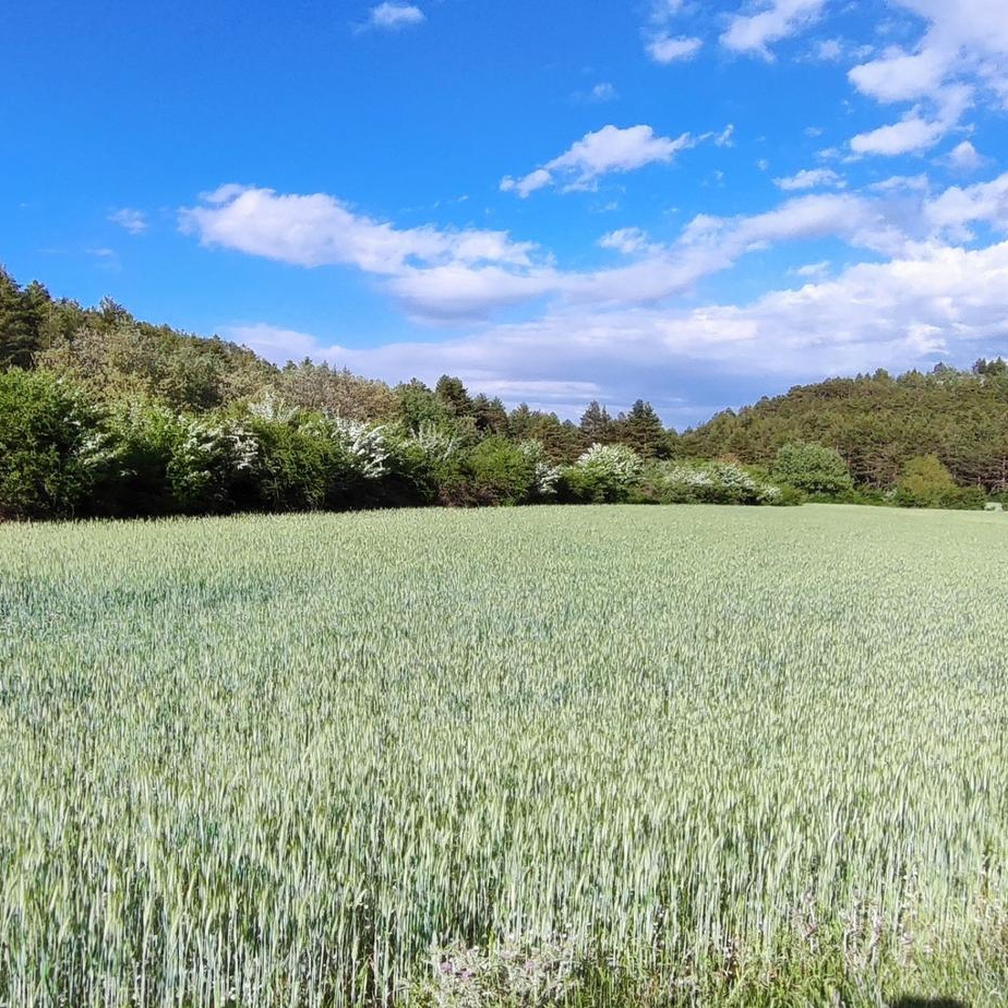
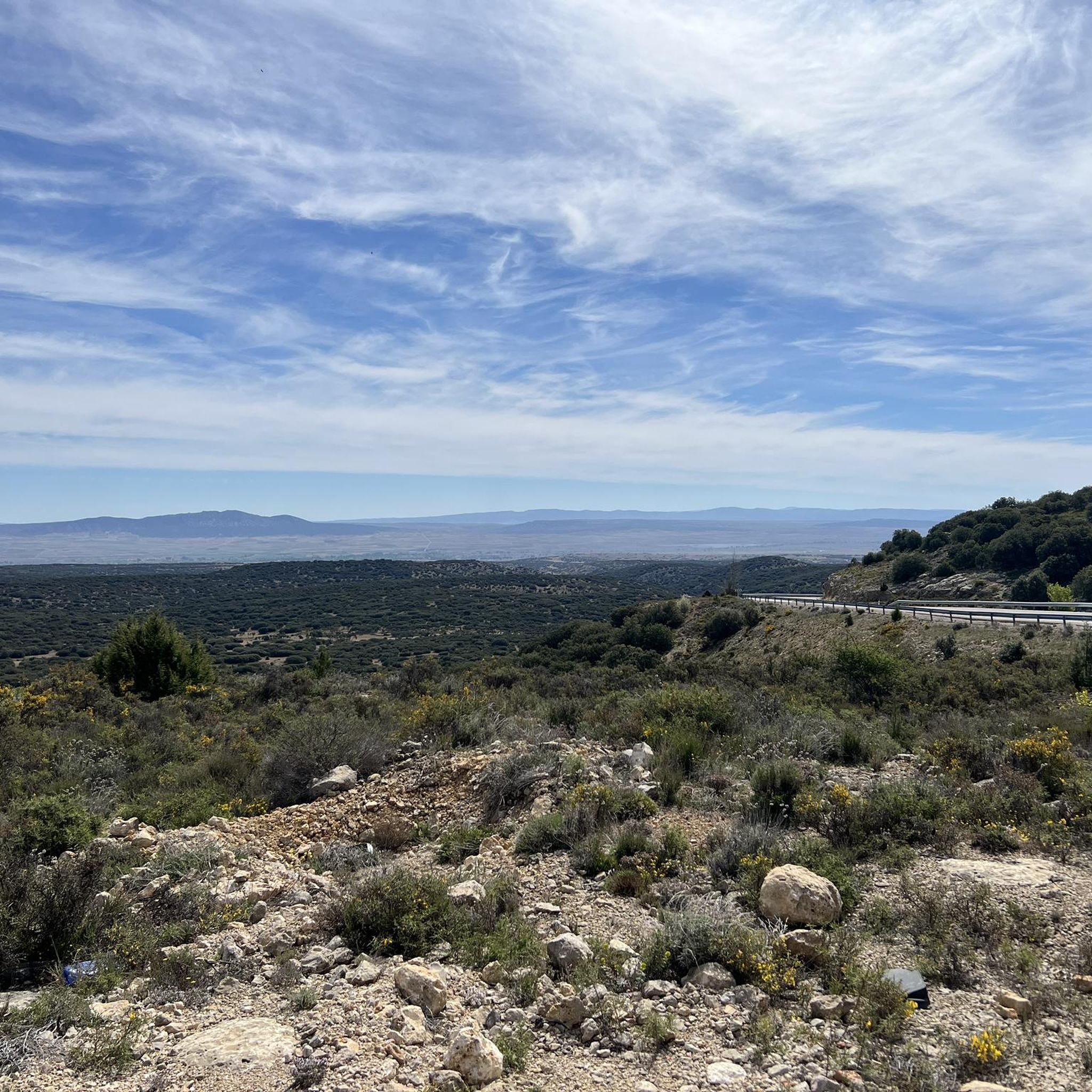
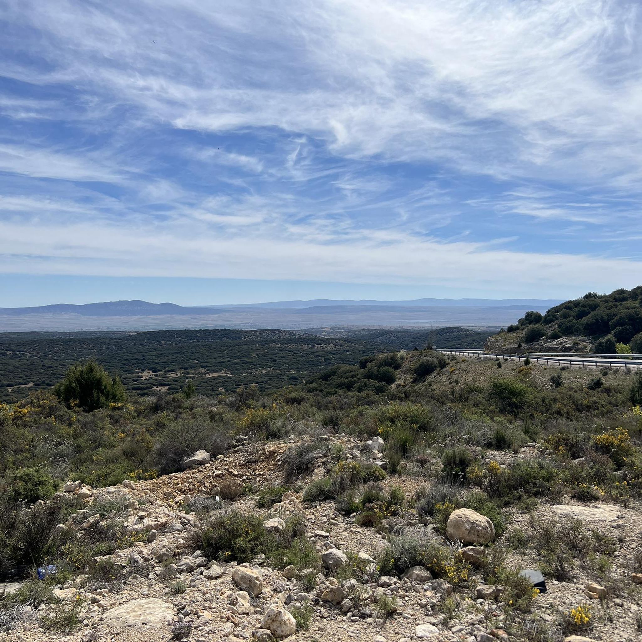
Mountain biking around Pozondón offers access to diverse natural landscapes within the province of Teruel, Spain. The region is characterized by extensive pine forests, unique red sandstone formations, and varied geological features. Trails often traverse the Sierra de Albarracín and the distinctive Pinares de Rodeno, providing a mix of terrain for mountain bikers. This area features a network of routes that explore ravines and elevated sections, showcasing the natural beauty of the Spanish interior.
Best mountain bike trails around Pozondón
…Last updated: June 28, 2026
5.0
(2)
93
riders
35.0km
03:32
810m
810m
Moderate mountain bike ride. Good fitness required. Advanced riding skills necessary.
5.0
(1)
3
riders
40.5km
03:52
900m
900m
Hard mountain bike ride. Very good fitness required. Advanced riding skills necessary.

Sign up for free
5.0
(1)
2
riders
26.1km
01:58
200m
200m
Easy mountain bike ride. Great for any fitness level. Suitable for all skill levels.
4.5
(2)
66
riders
124km
10:11
1,860m
1,860m
Hard mountain bike ride. Very good fitness required. Suitable for all skill levels.
70
riders
35.9km
03:57
1,130m
1,130m
Hard mountain bike ride. Very good fitness required. Suitable for all skill levels.
Get access to more routes and recommendations from other explorers.
Sign up for free
Already have an account?
Our route recommendations are based on thousands of hikes, rides, and runs completed by other people on komoot.
Start today with a free account
Your next adventure awaits.
Login or Signup


Other adventures around Pozondón

Tips from the Community

This shelter serves as a resting place and even as a place to spend the night during hikes. The surrounding area features stone tables and benches where you can sit and eat while enjoying the surroundings.
10
0
This small town is a haven of water everywhere, and it helps to dispel the anxiety that has accumulated due to the lack of water until I arrived here, as was my case. The municipal building and the church stand out next to the stream, where some ducks permanently reside.
8
0
A town with abundant water everywhere, which adds to the beauty of Checa. It's much more vibrant than most nearby towns. Its church, town hall, and small square give it a special essence, which, along with the small stream where some ducks live, create a beautiful setting.
9
0

The official source of water is located at Fuente de García, in the Montes Universales, within the municipality of Frías de Albarracín (Teruel). It is located at an altitude of approximately 1,590 meters, surrounded by pine forests and high mountain meadows. Access is very easy and well signposted. Take the A-1704 highway, which connects Frías de Albarracín with Huélamo (Cuenca). From the highway, a paved detour of approximately 2 km takes you directly to the recreational area and the monument. There is free parking next to the monument.
10
0
Access is very easy and well signposted. Take the A-1704 highway, which connects Frías de Albarracín with Huélamo (Cuenca). From the highway, a paved detour of approximately 2 km takes you directly to the recreational area and the monument. There is free parking next to the monument.
5
0
The official source is located at Fuente de García, in the Montes Universales, within the municipality of Frías de Albarracín (Teruel). It is located at an altitude of approximately 1,590 meters, surrounded by pine forests and high mountain meadows.
5
0
It is a reference to the place where the longest river in Spain originates, stretching over 1,000 km and flowing into neighboring Portugal. These statues symbolize this point in the Albarracín mountain range.
8
0
The Mirador de la Sierra Alta in Noguera de Albarracín is one of the most spectacular spots in the Sierra de Albarracín, ideal for nature lovers, photographers, and hikers. It is located approximately 1,854 meters above sea level, making it one of the highest points in the area.
4
0
Frequently Asked Questions
How many mountain bike trails are available around Pozondón?
There are over 30 mountain bike trails around Pozondón, offering a diverse range of options for different skill levels. The komoot community has rated these routes highly, with an average score of 4.6 stars.
What kind of terrain can I expect on mountain bike trails near Pozondón?
The terrain around Pozondón is varied, characterized by extensive pine forests, unique red sandstone formations, and the rugged landscape of the Sierra de Albarracín. You'll encounter a mix of wide tracks and more technical single-track sections, with routes exploring ravines and elevated areas.
Are there mountain bike trails suitable for beginners around Pozondón?
Yes, there are easy mountain bike trails available. For example, the Vía Verde Ojos Negros — circular desde Santa Eulalia del Campo is an easy 16.2-mile (26.1 km) route that takes about 2 hours to complete, offering varied landscapes.
Can experienced mountain bikers find challenging routes in the Pozondón area?
Absolutely. The region offers several difficult routes for experienced riders. The Montes Universales — circular desde Bronchales is a challenging 25.1-mile (40.5 km) path with significant elevation changes, and the Bronchales Town Center – Cuchillos de Noguera loop from Bronchales is another difficult option with over 1000m of ascent.
What natural landmarks or scenic viewpoints can I discover while mountain biking near Pozondón?
You can explore several notable natural features. The nearby Pinares de Rodeno offers distinctive red sandstone formations and ancient junipers. The Barranco Cardoso features unique red sandstone and Neolithic petroglyphs. You can also find the Source of the Tagus River and the beautiful Molino de San Pedro Waterfall in El Vallecillo. For specific points of interest, consider visiting Passage between rocks or the Fountain of the Enchanted Forest of Brigitta.
Are there any waterfalls accessible from mountain bike routes in the region?
Yes, the Molino de San Pedro Waterfall, located in El Vallecillo on the Cabriel River, is a beautiful natural site in the area. While not directly on a mountain bike route listed in this guide, it's a significant natural attraction worth visiting nearby.
Are there family-friendly mountain bike trails near Pozondón?
While specific family-friendly routes are not detailed in this guide, the region's diverse trails include easier paths that could be suitable for families with some mountain biking experience. The Vía Verde Ojos Negros, for instance, offers a less challenging profile. Always check the route's difficulty and length to ensure it matches your family's capabilities.
Can I bring my dog on the mountain bike trails around Pozondón?
Many trails in natural areas like the Sierra de Albarracín and Pinares de Rodeno are generally dog-friendly, especially if your dog is well-behaved and kept under control. However, it's always advisable to check local regulations for specific protected areas or private lands you might encounter. Ensure your dog is fit for the distance and terrain, and carry enough water for both of you.
When is the best time of year for mountain biking around Pozondón?
The spring and autumn months generally offer the most pleasant conditions for mountain biking around Pozondón, with milder temperatures and beautiful natural scenery. Summers can be hot, especially at midday, while winters can bring colder temperatures and sometimes snow at higher elevations, which might limit access to some trails.
Is parking available at the trailheads for mountain biking near Pozondón?
Yes, parking is typically available in and around the villages that serve as starting points for many routes, such as Bronchales or Santa Eulalia del Campo. These towns often have designated parking areas or street parking suitable for accessing nearby trailheads.
Are there any circular mountain bike routes around Pozondón?
Yes, many of the mountain bike routes in the area are circular, allowing you to start and end in the same location. Examples include the Bronchales Sierra Alta — circular por la Sierra de Albarracín and the Montes Universales — circular desde Bronchales.
What do other mountain bikers enjoy the most about mountain biking in Pozondón?
The area is highly rated by the komoot community, with an average score of 4.6 stars from over 14 reviews. Reviewers often praise the diverse natural landscapes, the unique red sandstone formations, and the challenging yet rewarding terrain found within the Sierra de Albarracín and Pinares de Rodeno.
Most popular attractions around Pozondón

Get inspired with the komoot mobile app


Explore more
Browse the best MTB trails in other regions.
