The best gravel rides in Wunderlich County Park
5.0
(1)
59
riders
13
rides
Gravel biking in Wunderlich County Park offers routes that navigate a 942-acre hillside area characterized by redwood forests, open meadows, and oak and madrone trees. The terrain includes canyons and running streams like Alambique Creek, with significant elevation changes reaching up to 2,000 feet in upper meadow areas. While some Komoot routes incorporate sections of the park, official regulations generally restrict bicycles to designated paved areas, with many unpaved trails not permitting cycling. Routes identified as gravel rides often include…
Last updated: July 12, 2026
5
riders
Hard gravel ride. Very good fitness required. Mostly paved surfaces. Suitable for all skill levels.
4
riders
48.2km
03:59
1,300m
1,300m
Hard gravel ride. Very good fitness required. Mostly paved surfaces. Suitable for all skill levels.

Sign up for free
2
riders
13.9km
01:13
440m
440m
Moderate gravel ride. Good fitness required. Mostly paved surfaces. Suitable for all skill levels.
11
riders
48.0km
03:34
1,170m
1,170m
Hard gravel ride. Very good fitness required. Mostly paved surfaces. Suitable for all skill levels.
4
riders
6.49km
00:32
140m
140m
Easy gravel ride. Great for any fitness level. Mostly paved surfaces. Suitable for all skill levels.
Get access to more routes and recommendations from other explorers.
Sign up for free
Already have an account?
Our route recommendations are based on thousands of hikes, rides, and runs completed by other people on komoot.
Start today with a free account
Your next adventure awaits.
Login or Signup

Tips from the Community

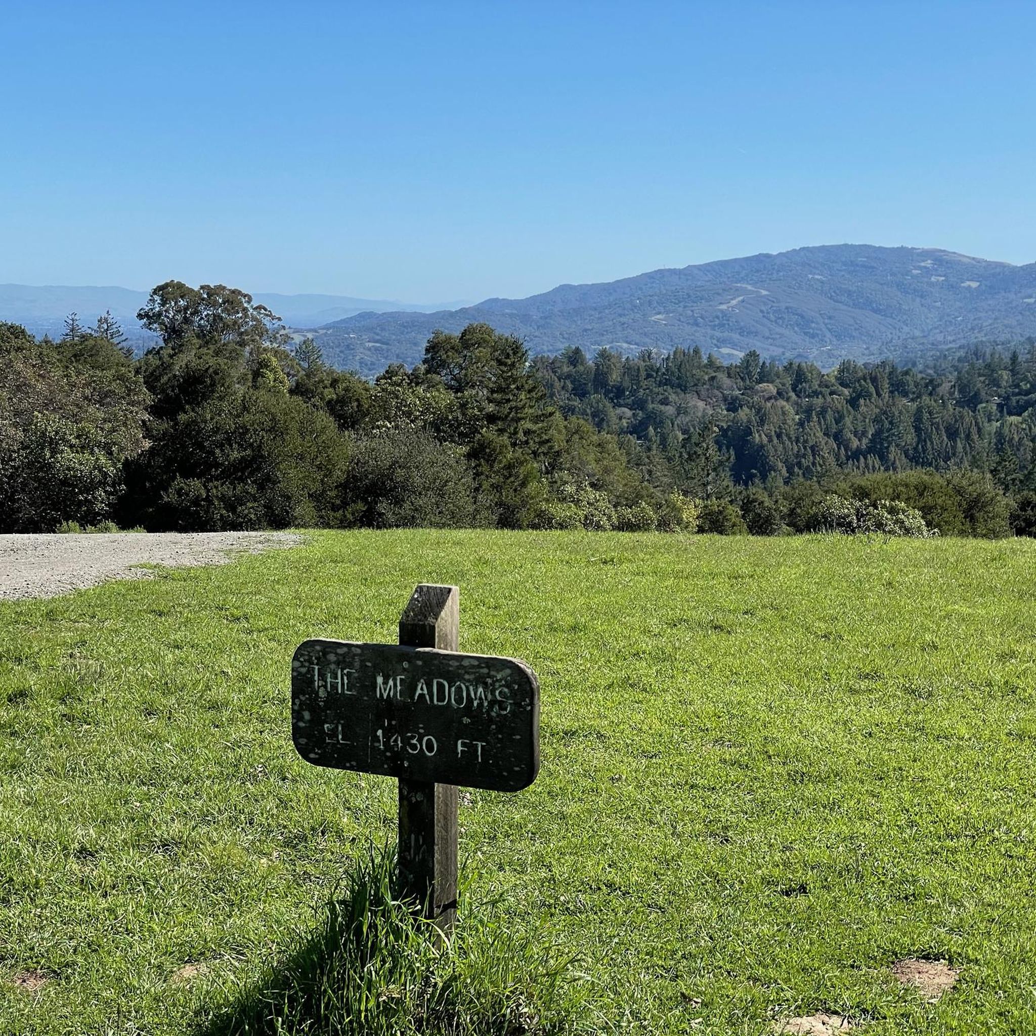
Borel Hill is my favorite place to watch spring flowers. The western slope near ancient oaks (5-10min west of Borel Hill) are covered with orange California Poppies and purple flowers starting in April. Borel Hill itself peaks around mid May and has a wide variety of flowers. The show lasts only a few weeks until end of May. The peak time and flower intensity varies from year to year, so come several times between April and May. There is small summit NW of Borel Hill and a narrow dirt trail leads you to a rock within 2 min. The rock is big enough for 2-3 to sit on. On a sunny day, the rock is nice warm even if the air is cold. Good views on the ocean and the Bay.
1
0
Didn’t OLR used to turn into Dirt before reaching Skyline? Is it all pavement now?? Scott
0
0

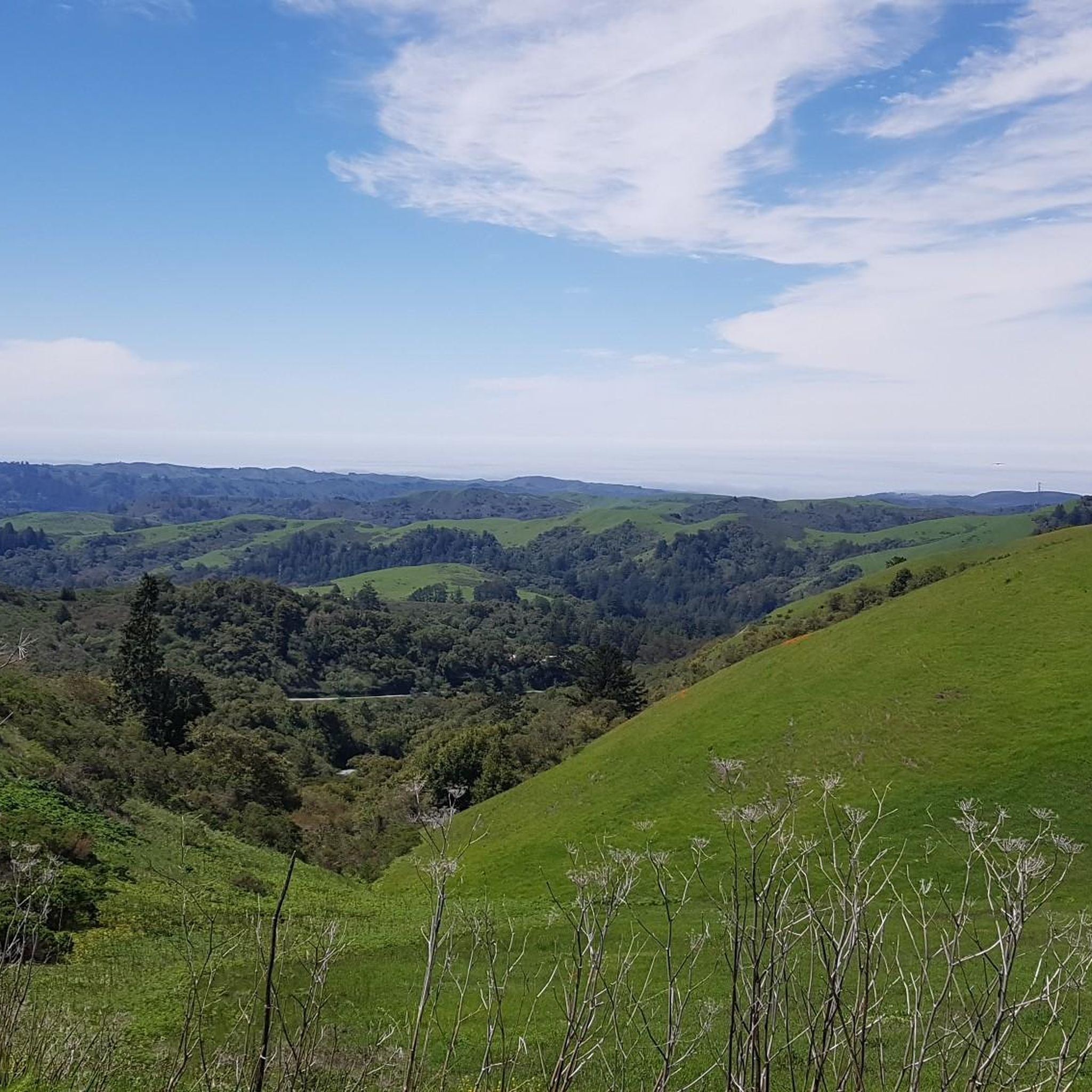
Black Mountain, situated on Monte Bello Ridge, is a popular destination for hikers and mountain bikers. With an elevation of 2,812 feet, it's easy to understand why. From the summit, the views of the Santa Cruz Mountains and Silicon Valley are breathtaking.
0
0

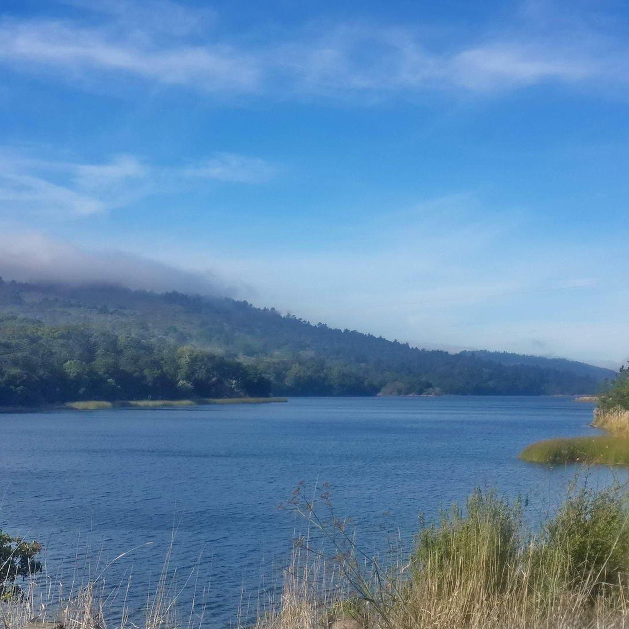
Boronda Lake features a couple scenic picnic areas with piers out over the water. A small arched bridge leads out to Sunfish Island from a trail on the side of the lake opposite the road. This is great place from which to enjoy beautiful Foothills Nature Preserve.
0
0

Old La Honda Rd downhill video: https://youtu.be/icnBpBZQ8gE?si=xYovaH-Nr8llwLEM
0
0

The top of Borel Hill has an elevation of 2,572 feet and offers panoramic views of the city below as well as views of the ocean in the distance.
0
0
Skegg's Point, right off of Skyline Boulevard, has panoramic views of the surrounding peaks.
0
0

Arastradero Lake is a quiet pond in the hills of the Arastradero Preserve. The lake is surrounded by oak trees and can get pretty dry in summer.
0
0
Frequently Asked Questions
Are bicycles permitted on all trails within Wunderlich County Park?
Official park regulations state that bicycles are generally not permitted on unpaved trails within Wunderlich County Park itself. Bicycles are typically allowed only on paved roadways and in established parking areas. The gravel routes listed on komoot for the 'Wunderlich County Park area' often refer to paved sections suitable for gravel bikes, or to areas adjacent to or outside the official park boundaries that are commonly associated with the broader region. Always check local signage and regulations before riding.
What kind of terrain can I expect on gravel routes in the Wunderlich County Park area?
The gravel routes in the broader Wunderlich County Park area navigate diverse landscapes, including redwood forests, open meadows, and oak and madrone trees. While some segments may be unpaved, many routes include mostly paved surfaces. You can expect significant elevation changes, with some areas reaching up to 2,000 feet, offering panoramic vistas.
How many gravel bike routes are available in the Wunderlich County Park area?
There are 11 gravel bike routes available in the Wunderlich County Park area, catering to various skill levels. You'll find options ranging from easy to difficult, ensuring there's a ride for every experience level.
Are there routes suitable for beginners or families?
Yes, there is 1 easy route available, making it suitable for beginners or families looking for a less strenuous ride. For example, the Old La Honda Road – Portola Road loop from Portola Valley is a moderate option that might be manageable for families with some riding experience.
Are there challenging gravel routes for experienced riders?
Absolutely. For experienced riders seeking a challenge, there are 7 difficult routes in the Wunderlich County Park area. A notable option is the Black Mountain – Arastradero Lake loop from Portola Valley, which is nearly 30 miles long with significant elevation gain.
What scenic views or natural features can I expect on gravel rides in the Wunderlich County Park area?
Rides in this area offer beautiful canyons with running streams like Alambique Creek, diverse forests of redwood, oak, and madrone, and expansive open meadows. You can also enjoy exceptional vistas from higher elevations, with panoramic views of Silicon Valley and the distant ocean from spots like Borel Hill, or breathtaking views of the Santa Cruz Mountains from Black Mountain.
Is parking available for gravel bikers near Wunderlich County Park?
Yes, parking is generally available in established parking areas near Wunderlich County Park. For routes starting from specific points like Skeggs Point or Portola Valley, you'll typically find designated parking facilities. Always check for any potential fees or restrictions before your visit.
Can I reach the gravel routes near Wunderlich County Park by public transport?
While direct public transport access to all trailheads might be limited, some starting points for routes in the broader Wunderlich County Park area, such as Portola Valley, may have more accessible public transport options. It's advisable to check local bus schedules and routes for connections to the specific starting point of your chosen ride.
What is the best time of year for gravel biking near Wunderlich County Park?
The Wunderlich County Park area is enjoyable for gravel biking throughout much of the year. Spring and fall offer pleasant temperatures and vibrant scenery. Even on warmer days, the presence of tall redwood trees along some routes provides shaded sections. After rain, some unpaved segments might be muddy, so checking trail conditions is recommended.
Are there any cafes or restaurants near the gravel biking routes?
Yes, the town of Woodside, located near Wunderlich County Park, offers various cafes and restaurants where you can refuel before or after your ride. You'll find options ranging from casual eateries to more upscale dining experiences.
Are dogs allowed on the gravel biking routes in the Wunderlich County Park area?
Within Wunderlich County Park itself, the official policy often states 'No pets' on trails. However, for routes in the broader area that may include paved sections or adjacent lands, dog policies can vary. It's crucial to check the specific regulations for each route or area you plan to ride, as some areas may allow dogs on leash while others do not.
Are there any historical sites or landmarks along the routes?
Yes, the park area has historical significance, as it was once the Folger family ranch. The restored Folger Stable complex, including the Carriage Room Museum, is a historic treasure within the park. While bicycles may be restricted on unpaved trails, these historical sites can be explored on foot or by accessing them via permitted paved roads.
Most popular routes in Wunderlich County Park

Get inspired with the komoot mobile app


Explore more
Browse the best Gravel rides in other regions.
