The best road cycling routes in Wunderlich County Park
4.7
(162)
9,583
riders
63
rides
Road cycling routes in Wunderlich County Park's surrounding area offer challenging rides through diverse landscapes. The region features 942 acres of hillside terrain, characterized by redwood forests, open meadows, and oak and madrone groves. While cycling is restricted on unpaved trails within Wunderlich County Park itself, the broader locale around Woodside provides significant opportunities for road cyclists seeking strenuous routes. These routes often include steep mixed forests, cool, shaded redwood groves, and areas with exceptional vistas.
Best road cycling routes…
Last updated: May 29, 2026
84
riders
60.2km
03:20
1,210m
1,210m
Hard road ride. Very good fitness required. Mostly well-paved surfaces and easy to ride.
5.0
(1)
12
riders
Moderate road ride. Great for any fitness level. Some segments of this route may be unpaved and difficult to ride.

Sign up for free
24
riders
19.6km
01:14
500m
500m
Moderate road ride. Good fitness required. Mostly well-paved surfaces and easy to ride.
5.0
(3)
440
riders
84.0km
04:30
1,610m
1,610m
Hard road ride. Very good fitness required. Mostly well-paved surfaces and easy to ride.
4.3
(3)
148
riders
71.6km
03:54
1,410m
1,410m
Hard road ride. Very good fitness required. Mostly well-paved surfaces and easy to ride.
Get access to more routes and recommendations from other explorers.
Sign up for free
Already have an account?
Our route recommendations are based on thousands of hikes, rides, and runs completed by other people on komoot.
Start today with a free account
Your next adventure awaits.
Login or Signup

Tips from the Community

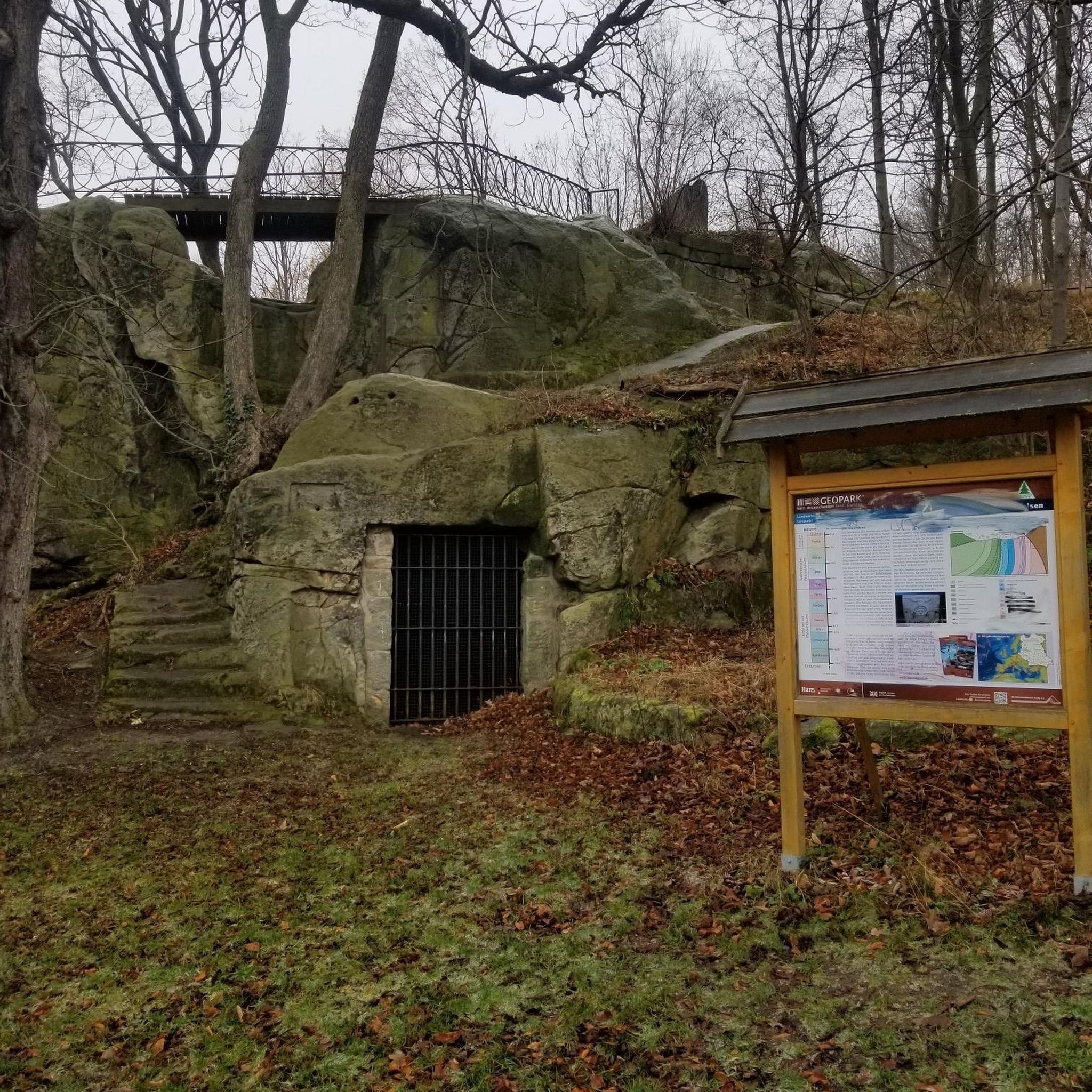
Once upon a time this was the only general store in this area, serving not only as a general-purpose retailer but also the post office, bank, and informal dentist's office. Nowadays it's a museum, staffed by docents ready to offer drop-in history lessons.
0
0

Didn’t OLR used to turn into Dirt before reaching Skyline? Is it all pavement now?? Scott
0
0

Woodside Store was built back in the 1850s by two pioneers who came to California for the gold rush. At the time it was the only stagecoach stop between San Francisco and Santa Clara, and it carried all the essential items that travelers riding between cities might need. The store has been restored, inside and out, to look exactly as it did centuries ago. You can call the museum ahead of your trip to book tours.
0
0

Alameda de las Pulgas Road has consistent traffic but features a good bike lane for safe cycling. The route is straightforward and flat, it works for a smooth ride through the area.
0
0

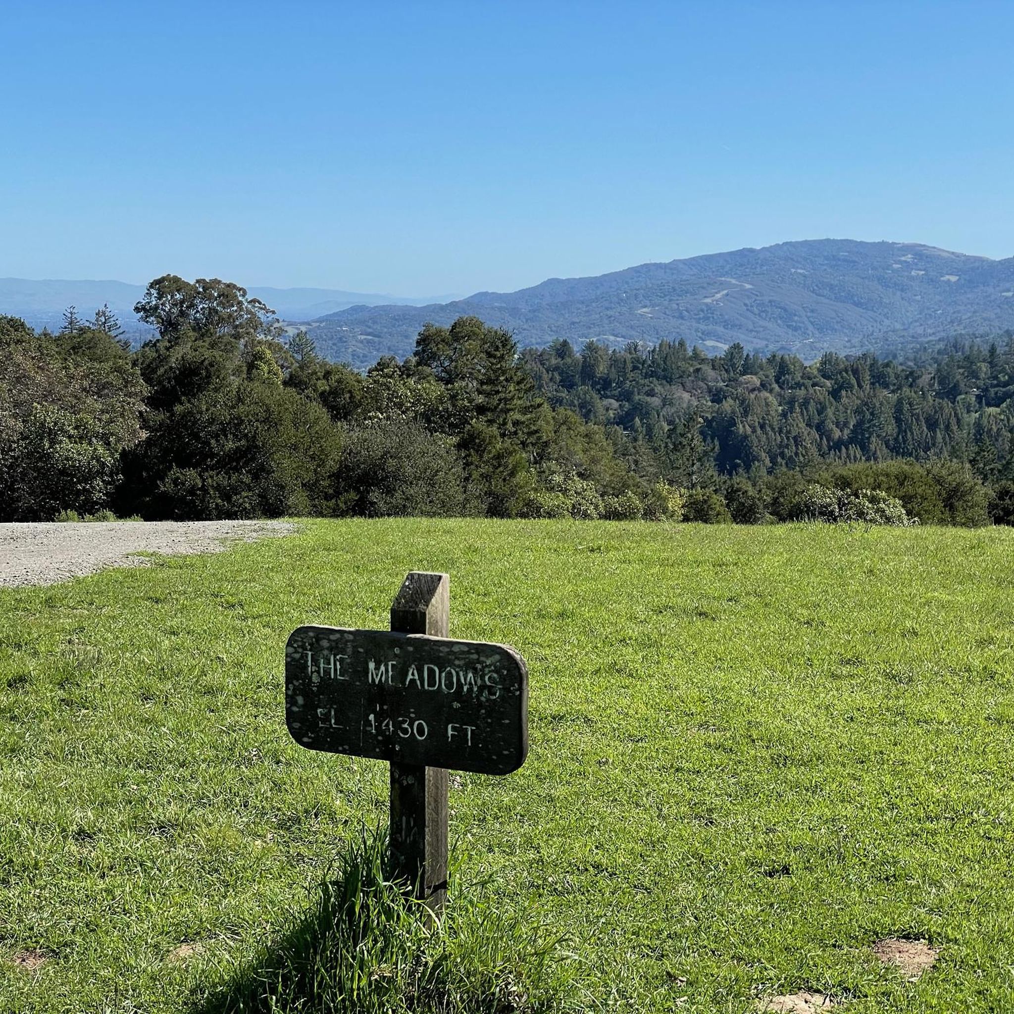
This charming park is just 3.5 miles west of Highway 84. There are barbecue pits, a playground, spacious grassy meadows, and plenty of hiking and riding trails. It's an ideal destination for a picnic or a peaceful stroll through the enchanting redwood forest along the park's beautiful winding paths. Dogs are not allowed in the park, so you'll need to leave your pup at home.
0
0

A lovely little cut through from the quiet MP part of Alma to the busy PA side (or the turn across the tracks and El Camino to Sand Hill). If you're not in a hurry, pause on the bridge to enjoy the view of the creek which might be dry in the summer or a raging torrent in the winter. The rail bridge to the west is the original Southern Pacific bridge from a century ago, still in use by Caltrain. And if you look closely, you will find El Palo Alto (from which the city gets its name) in this grove of redwoods. It is not obvious in 2024 but it is signed.
0
0

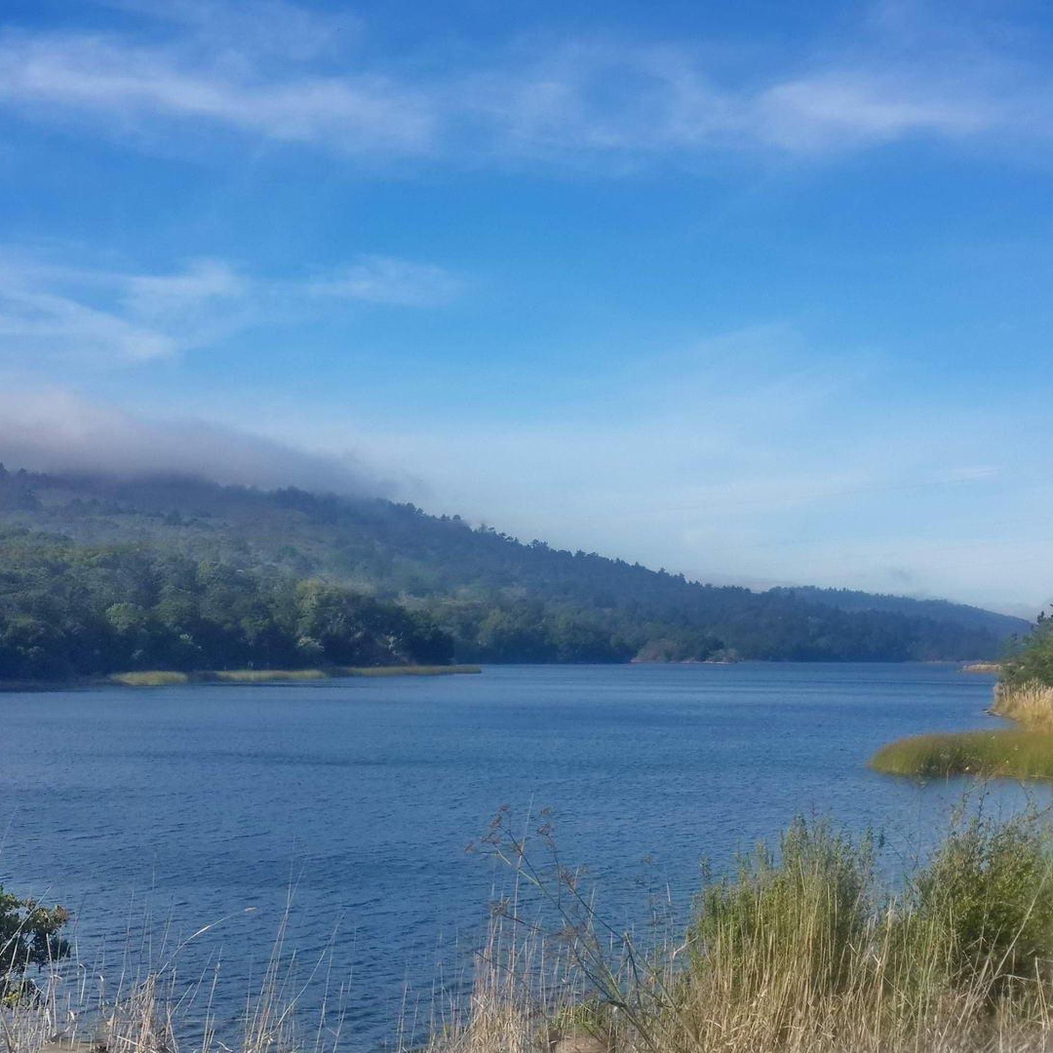
The San Francisquito Creek Bridge provides a smooth ride over the San Francisquito Creek, which eventually ends in southwest San Francisco Bay. Enjoy the beauty here and stop on the bridge to peer down into the creek.
0
0
Frequently Asked Questions
Are road bikes allowed inside Wunderlich County Park?
Bicycles and motorized vehicles are generally not allowed off designated paved areas within Wunderlich County Park. The park's extensive trail system, totaling over 17 miles, is primarily utilized for hiking and horseback riding. However, the surrounding area offers significant opportunities for road cycling.
Where can I find challenging road cycling routes near Wunderlich County Park?
The broader locale around Woodside, adjacent to Wunderlich County Park, is well-regarded for challenging road cycling routes. These often feature steep climbs and require very good fitness. An example is the Lobitos Creek Road – Higgins Canyon Road loop from Skeggs Point, a difficult 36.2-mile ride with significant elevation gain.
What kind of terrain can I expect on road cycling routes in the Wunderlich County Park area?
Road cycling routes in the vicinity of Wunderlich County Park traverse diverse landscapes, including challenging hillside terrain, redwood forests, open meadows, and oak and madrone groves. You can expect a mix of cool, shaded redwood groves along streams and gullies, contrasting with some hotter, drier chaparral areas, often with exceptional vistas.
Are there any moderate road cycling loops available?
Yes, there are moderate options. For instance, the Lower Kings Mountain Road – Woodside Store (Historic Site) loop from Woodside is a moderate 8.3-mile path that offers a mix of paved surfaces and historical points of interest. Another moderate option is the Old La Honda Road loop from Woodside, a 12.3-mile trail through forested hillsides.
How many road cycling routes are available in the Wunderlich County Park area?
There are over 60 road cycling routes available in the Wunderlich County Park area, catering to various skill levels. This includes 25 easy routes, 30 moderate routes, and 8 difficult routes, ensuring options for most road cyclists.
What do other road cyclists say about the routes in this region?
The road cycling routes in the Wunderlich County Park vicinity are highly rated by the komoot community, with an average score of 4.6 stars from over 140 reviews. More than 8,000 road cyclists have used komoot to explore the varied terrain, often praising the challenging climbs and scenic beauty.
Are there any historical landmarks or points of interest along the road cycling routes?
While cycling is restricted within the park itself, the surrounding area and routes may pass by historical points. The park itself is home to the meticulously restored Folger Stable, recognized on the National Register of Historic Places, and a Carriage Room Museum. The Lower Kings Mountain Road – Woodside Store (Historic Site) loop from Woodside specifically mentions historical points of interest.
What is the best season for road cycling near Wunderlich County Park?
The region's diverse climate, with cool, shaded redwood groves and hotter, drier chaparral areas, suggests that spring and fall might offer the most comfortable temperatures for road cycling. However, the paved routes are generally accessible year-round, weather permitting.
Can I find long-distance road cycling routes in the area?
Yes, for those seeking longer distances, routes like the Pescadero Creek Road loop offer an extensive ride of over 52 miles (83.9 km) with significant elevation gain, making it a challenging option for experienced cyclists.
Are there any road cycling routes that offer scenic viewpoints?
Yes, the region is known for exceptional vistas in various directions. Many routes, particularly those with significant elevation gain through hillside terrain, will offer panoramic views of the diverse landscapes, including redwood forests and open meadows.
What kind of wildlife might I encounter while road cycling in the area?
The diverse plant communities, including mixed evergreen forest, foothill woodland, and chaparral, provide habitat for various wildlife. While cycling on paved roads, you might spot black-tailed deer, raccoons, squirrels, and a variety of birds in the surrounding natural areas.
Most popular routes in Wunderlich County Park

Get inspired with the komoot mobile app


Explore more
Browse the best Road cycling routes in other regions.
