The best gravel rides in Untere Nahe
4.6
(59)
289
riders
76
rides
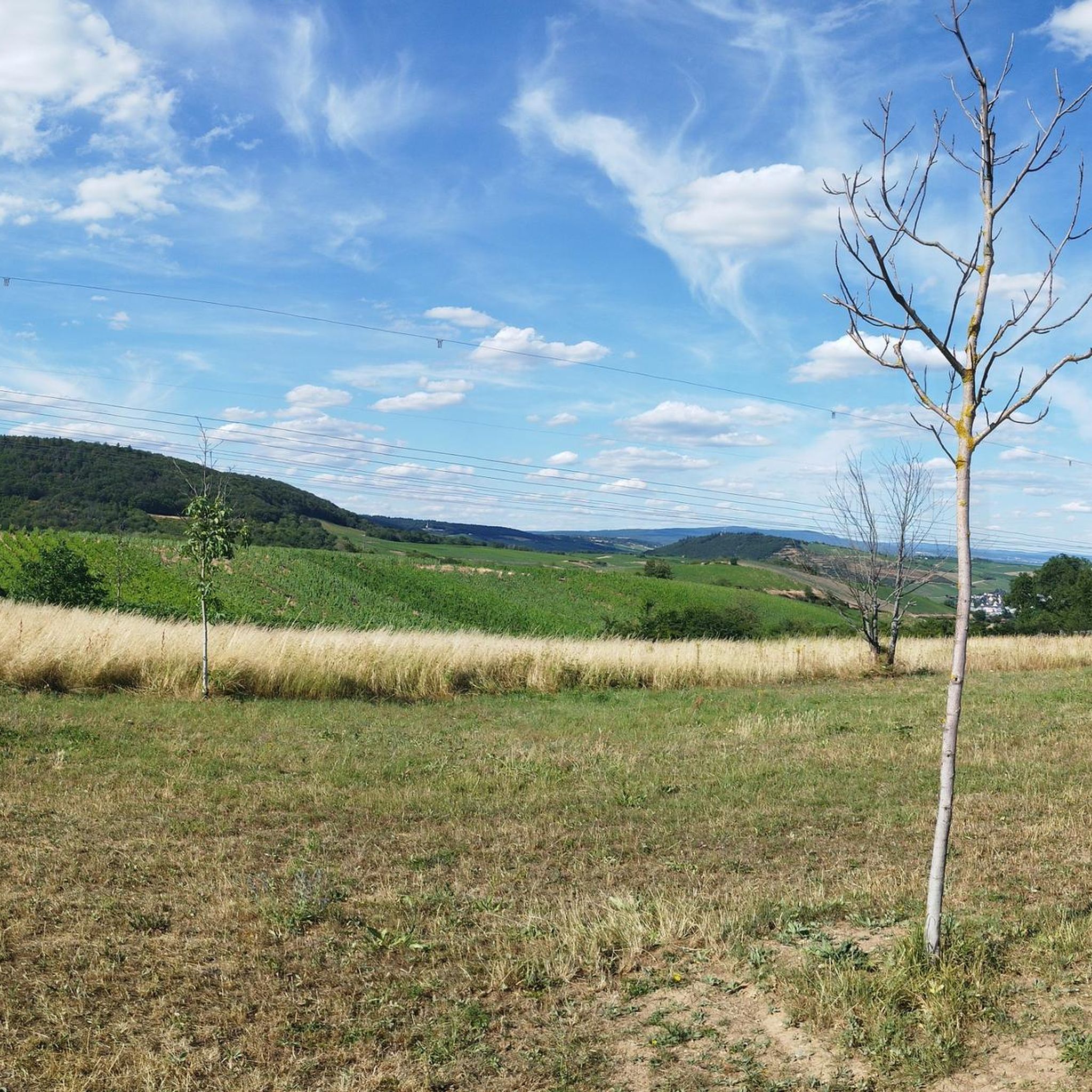
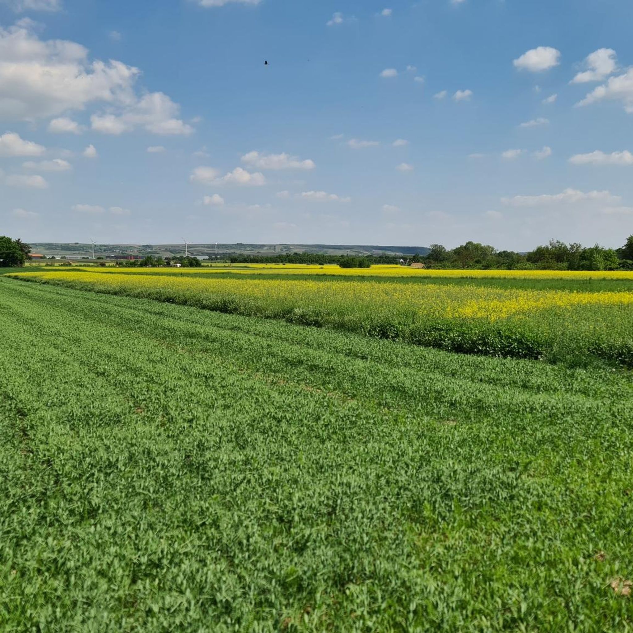
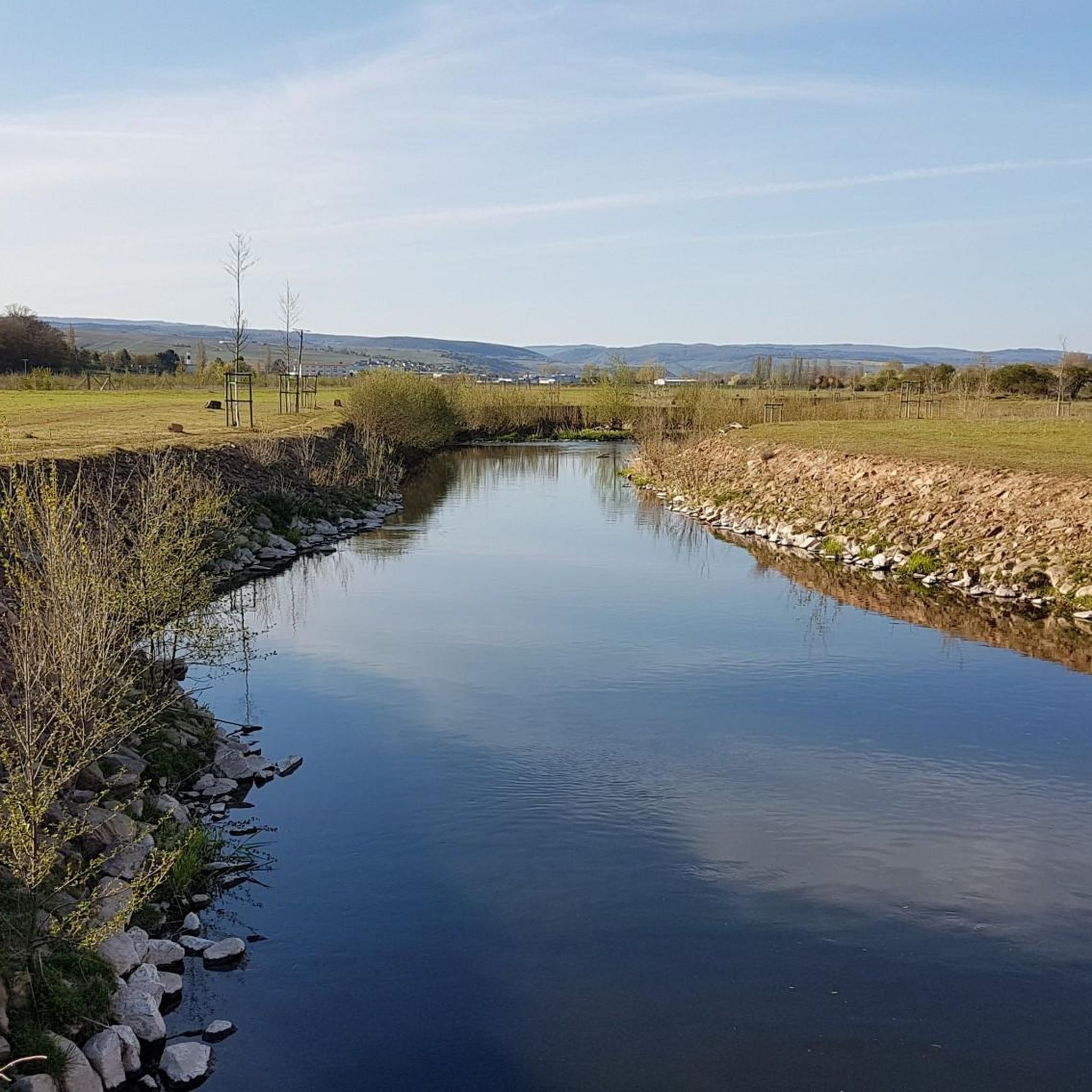
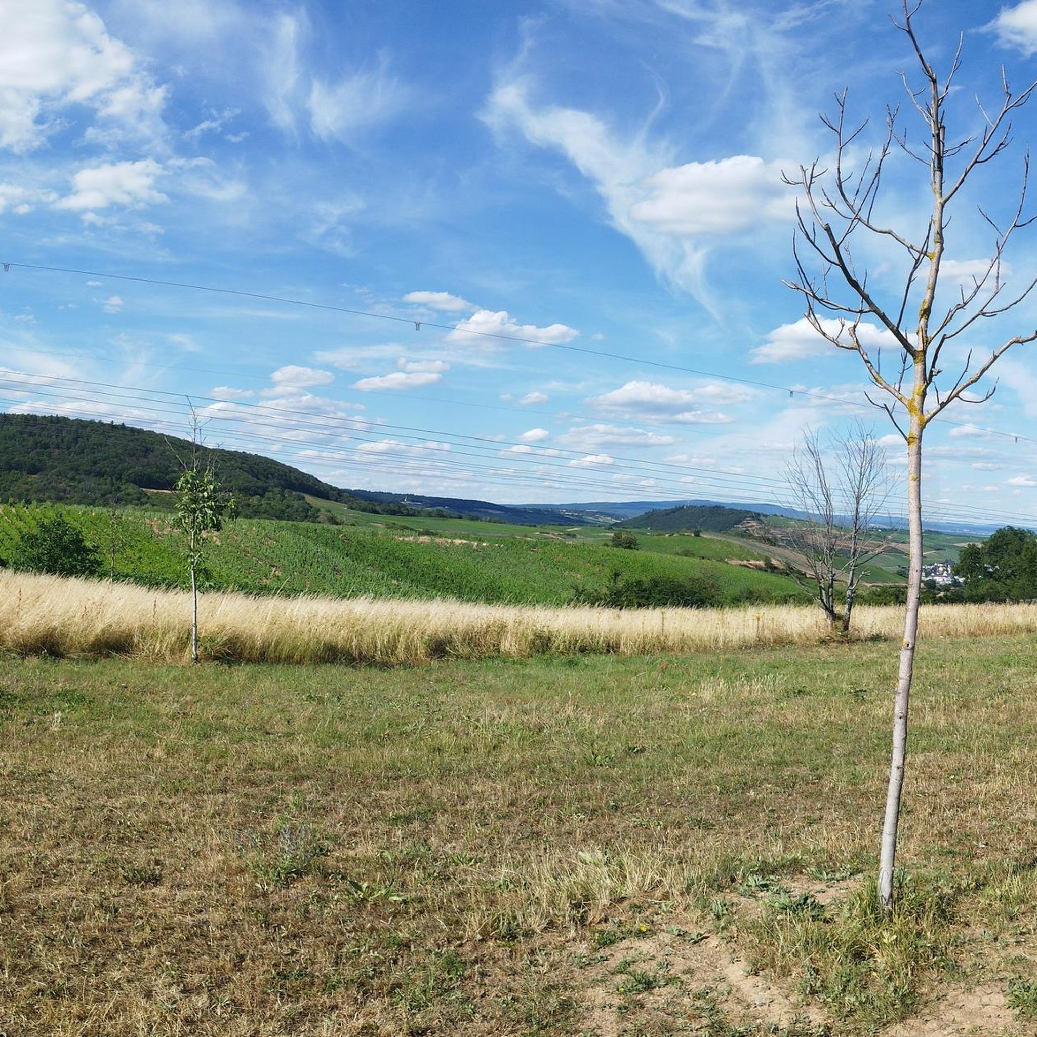
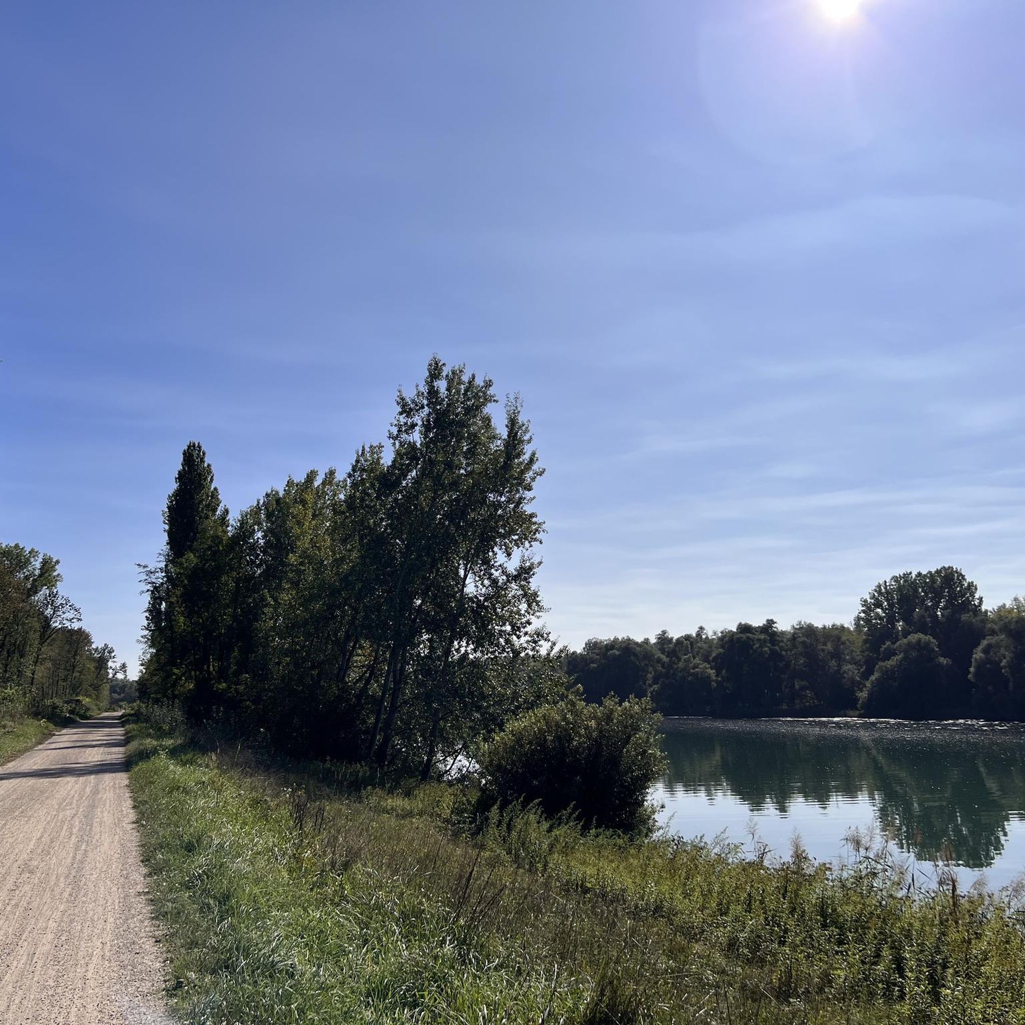
Gravel biking in Untere Nahe offers a diverse landscape characterized by river valleys, rolling hills, and historical sites. The region is shaped by the Nahe and Rhine rivers, providing routes that often follow their banks or ascend to viewpoints overlooking them. Terrain varies from riverside paths to trails through vineyards and forested sections, with elevation changes typical for a riverine and hilly environment. Notable features include the dramatic Rotenfels formation and extensive vineyard landscapes.
Best gravel bike trails in Untere…
Last updated: July 17, 2026
5.0
(2)
14
riders
Easy gravel ride. Great for any fitness level. Mostly paved surfaces. Suitable for all skill levels.
7
riders
Hard gravel ride. Very good fitness required. Mostly paved surfaces. Suitable for all skill levels.

Sign up for free
5.0
(1)
7
riders
86.1km
05:28
1,310m
1,310m
Hard gravel ride. Very good fitness required. Mostly paved surfaces. Suitable for all skill levels.
4.5
(4)
25
riders
68.6km
04:59
670m
670m
Hard gravel ride. Very good fitness required. Some segments of this route may be unpaved and difficult to ride.
5.0
(3)
21
riders
Hard gravel ride. Very good fitness required. Mostly paved surfaces. Suitable for all skill levels.
Get access to more routes and recommendations from other explorers.
Sign up for free
Already have an account?
Our route recommendations are based on thousands of hikes, rides, and runs completed by other people on komoot.
Start today with a free account
Your next adventure awaits.
Login or Signup
Tips from the Community

From the lower parking lot, you can ride uphill very comfortably. https://maps.app.goo.gl/VDFbBeojUhbZTFko9
0
0

Flood levels of the last 100 years
0
0

The Hindenburgbrücke was an important railway bridge over the Rhine, connecting Rüdesheim am Rhein with Bingen am Rhein (Kempten district). It was built between 1913 and 1915 and solemnly opened in August 1915 during World War I. With a total length of over a kilometer, it was an imposing technical structure that primarily served to close the strategically important railway connection between the Ruhr area and the Saarland and to relieve the Rhine routes. The structure was designed for double tracks and featured combined steel and stone arch constructions. A distinctive feature were the widely visible, castle-like bridge towers at the ends, which were architecturally adapted to the castles of the region. During World War II, the bridge became a strategic target and was finally blown up by German troops in March 1945 to stop the advance of the US Army; additional air raids almost completely destroyed the remaining parts. After the war, the Hindenburgbrücke – unlike many other bridges – was not rebuilt, as transport routes had changed and the priority lay with other Rhine crossings. Today, only the striking stone approach bridges and the bridge towers remain as "silent witnesses" on the Rhine bank and on the island of Rüdesheimer Aue. These ruins are listed as historical monuments and are part of the UNESCO World Heritage Upper Middle Rhine Valley, with the remaining piers in the shipping channel being blown up in the 1960s for navigational safety reasons.
6
0

Very nice cycle path 🚴♂️
0
0

In addition to the beautiful view, you can also enjoy a delicious ice cream from the ice cream parlor on the corner.
2
0
Frequently Asked Questions
What is the general difficulty level for gravel biking in Untere Nahe?
Untere Nahe offers a wide range of gravel biking difficulties. While there are 10 easy routes perfect for beginners, the majority of trails are moderate (54 routes) or difficult (78 routes), often featuring significant elevation changes and varied terrain through river valleys, vineyards, and forests.
Are there easy gravel bike routes suitable for beginners in Untere Nahe?
Yes, beginners can find suitable routes in Untere Nahe. There are 10 easy routes available, often following the flatter sections along the Nahe and Rhine rivers. For a moderate option that is still accessible, consider the Rhine-Nahe-Eck – View of the Niederwalddenkmal loop from Laubenheim, which offers pleasant riverside riding.
Are there advanced gravel bike trails for experienced riders in Untere Nahe?
Absolutely. For experienced gravel bikers seeking a challenge, Untere Nahe has 78 difficult routes. These trails often include substantial climbs and descents through the region's rolling hills and forested areas. An example of a challenging route is the View of Rheinstein Castle – Rheinstein Castle loop from Münster-Sarmsheim, which features significant elevation gain and stunning views.
When is the best time of year to go gravel biking in Untere Nahe?
The best time for gravel biking in Untere Nahe is typically from spring through autumn (April to October). During these months, the weather is generally mild, and the landscapes are vibrant, with vineyards in full bloom or displaying autumn colors. Summer offers longer daylight hours, while spring and autumn provide cooler temperatures ideal for longer rides.
Are there family-friendly gravel biking options in Untere Nahe?
Yes, families can enjoy gravel biking in Untere Nahe, especially on the easier, flatter routes that follow the riverbanks. These paths often provide a gentler experience away from significant climbs. Look for routes designated as 'easy' in the komoot guide, which are generally more suitable for all ages and skill levels.
What kind of scenic viewpoints can I expect on gravel bike trails in Untere Nahe?
Gravel bike trails in Untere Nahe frequently offer scenic viewpoints, particularly those that ascend from the river valleys into the surrounding hills. You can expect panoramic views of the Nahe and Rhine rivers, picturesque vineyards, and historic castles. Routes like the View of Rheinstein Castle – Rheinstein Castle loop from Münster-Sarmsheim are specifically known for their impressive vistas.
Are there circular gravel bike routes available in Untere Nahe?
Yes, many gravel bike routes in Untere Nahe are designed as loops, allowing you to start and end at the same point. This is convenient for those traveling by car. An example is the Bridge to Altenbaumburg Castle – Altenbaumburg Castle Ruins loop from Langenlonsheim, which offers a moderate circular ride.
What are some interesting landmarks or attractions I can see along the gravel bike trails?
The gravel bike trails in Untere Nahe often pass by historical and natural attractions. You can explore the Stone Arch Bridge in Bretzenheim, the Historic Water Tower also in Bretzenheim, or the elegant Villa Plettenberg-Puricelli with Clock Tower. Many routes also follow sections of the scenic Nahe Cycle Path.
What do other gravel bikers enjoy most about gravel biking in Untere Nahe?
The komoot community highly rates gravel biking in Untere Nahe, with an average score of 4.6 stars. Reviewers often praise the diverse landscape, which includes river valleys, rolling hills, and historical sites. The variety of terrain, from riverside paths to vineyard trails and forested sections, is frequently highlighted as a major draw.
How long do gravel bike trails in Untere Nahe typically take to complete?
The duration of gravel bike trails in Untere Nahe varies significantly depending on the route's length and difficulty. Shorter, moderate routes like the Rhein Riverside Cycle Path – Rhine Beach, Sandlache Nature Reserve loop from Münster-Sarmsheim can be completed in about 2 hours. Longer, more challenging routes can take 5 hours or more, so it's best to check the estimated duration for each specific tour.
Are there opportunities for cafe stops or refreshments along the gravel routes?
Given the region's popularity and its charming towns and villages along the Nahe and Rhine rivers, you will find various opportunities for cafe stops and refreshments. Many routes pass through or near communities where you can pause for a break, especially in towns like Bad Kreuznach or Münster-Sarmsheim. It's always a good idea to check the route details or a map for specific points of interest before you set out.
Most popular routes in Untere Nahe
Most popular attractions in Untere Nahe

Get inspired with the komoot mobile app


Explore more
Browse the best Gravel rides in other regions.
