The best cycling routes in Untere Nahe
4.6
(10477)
53,603
riders
57
rides
Touring cycling in Untere Nahe features diverse landscapes, characterized by the tranquil Nahe River valley, rolling hills, and dense woods. The region includes parts of the Soonwald forest and is defined by geological features such as the 136-meter-high Rheingrafenstein cliff and the over 200-meter-high Rotenfels porphyry rock face. Extensive vineyards also contribute to the varied terrain, offering a mix of river-side paths and routes through agricultural areas.
Best touring cycling routes in Untere Nahe
- The most popular touring cycling route…
Last updated: July 1, 2026
4.5
(450)
2,307
riders
Moderate bike ride. Good fitness required. Mostly paved surfaces. Suitable for all skill levels.
4.5
(36)
321
riders
Easy bike ride. Great for any fitness level. Mostly paved surfaces. Suitable for all skill levels.

Sign up for free
4.8
(44)
139
riders
Moderate bike ride. Good fitness required. Mostly paved surfaces. Suitable for all skill levels.
4.7
(87)
364
riders
Hard bike ride. Very good fitness required. Mostly paved surfaces. Suitable for all skill levels.
4.8
(25)
187
riders
Easy bike ride. Great for any fitness level. Mostly paved surfaces. Suitable for all skill levels.
Get access to more routes and recommendations from other explorers.
Sign up for free
Already have an account?
Our route recommendations are based on thousands of hikes, rides, and runs completed by other people on komoot.
Start today with a free account
Your next adventure awaits.
Login or Signup
Tips from the Community

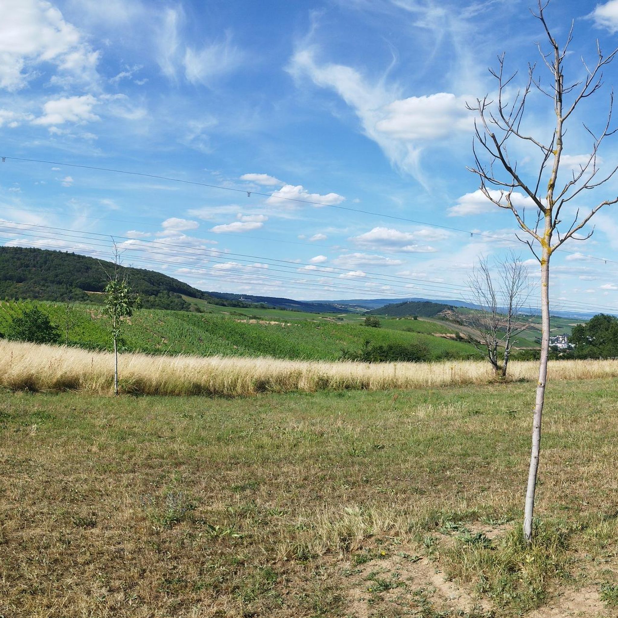
The Wingertsschaukel amidst the vineyards is a beautiful spot for a relaxing break with a view. The spacious wooden swing can seat two people and allow them to enjoy the Rheinhessen landscape. Whether as a short stop during a tour, for a souvenir photo, or to linger at sunset – this viewpoint invites you to relax and enjoy.
3
0

In many places we still find barriers and signals
0
0

beautiful cycle path through the romantic Selztal valley
0
0

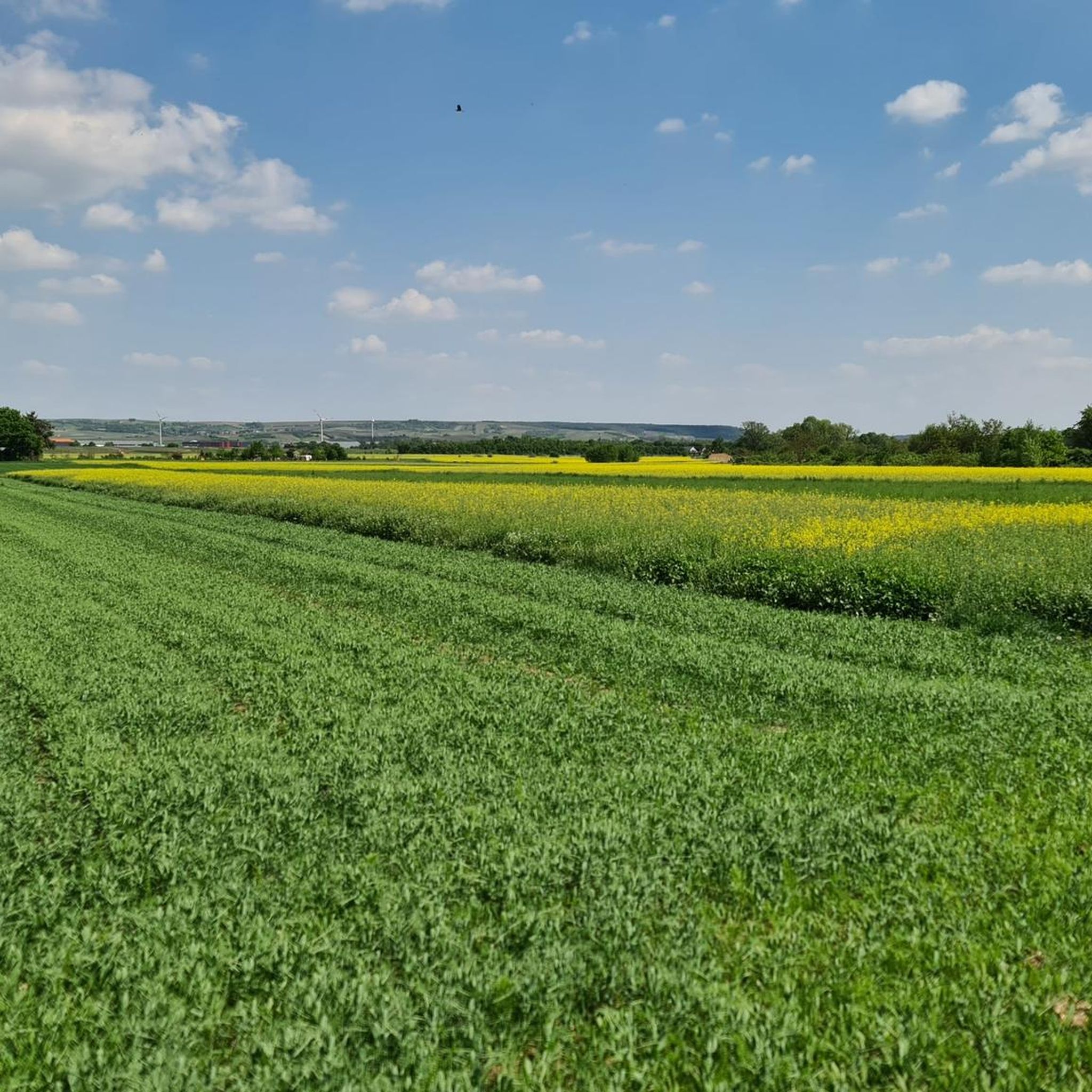
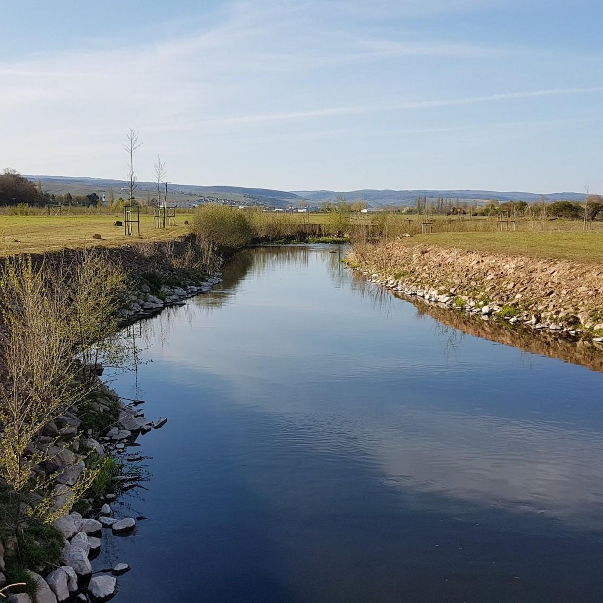
A beautiful cycle path along the Selz river through the Rhine-Hessian hill country, passing several renaturalized areas of the Selz and many structural features of the "Mainz Basin" that make the Rhine-Hessian hill country unique.
0
0


👑 Rheingrafenstein Castle Ruins – The Rock Boss on the Cycle Path Tip: Stop here! The Rheingrafenstein ruins sit dramatically perched on a 136-meter-high porphyry cliff above the Nahe River – one of the most impressive sights of the entire tour. The castle was the ancestral seat of the famous Wildgraves and Rhinegraves (until it was blown up in 1689). The view from the cycle path is phenomenal! If you really want to go up (and have enough energy), you can take the small hand-pulled ferry across and take the steep hiking trail to the ruins. It's worth it for the view over the Nahe Valley, but honestly: My legs were already tired enough from cycling. The panoramic view from below is worth its weight in gold! A must-have for your photo collection!
1
0

The cycle path runs parallel to the historic railcar route, giving it a very special charm. The route is largely flat, making it ideal for leisurely rides or family outings. You'll cycle through the Glan and Blies valleys, past idyllic villages, fields, and forests – with plenty of nature along the entire Glan River.
1
0
Rheingrafenstein Castle sits enthroned on a steep porphyry cliff (245 meters high) directly above the Nahe River near Bad Münster am Stein-Ebernburg. Legend has it that the devil himself built the castle—a reference to its dramatic location and mystical aura. In fact, it likely dates back to the 11th century and was the ancestral seat of the Lords of Stein, later the Wildgraves and Rhinegraves. In 1689, it was blown up by French troops under Louis XIV, and since then it has been a ruin—but an extremely impressive one.
3
0
Frequently Asked Questions
How many touring cycling routes are available in Untere Nahe?
Untere Nahe offers a wide selection of touring cycling routes, with over 50 options available. These routes cater to various skill levels, including 13 easy, 13 moderate, and 24 difficult trails.
What makes touring cycling in Untere Nahe unique?
The Untere Nahe region is characterized by its diverse landscapes, including the tranquil Nahe River Valley, dramatic rock formations like the Rotenfels and Rheingrafenstein, and picturesque vineyards. The well-maintained Nahe Cycle Path is a central feature, offering a harmonious blend of scenic beauty and infrastructure suitable for all cyclists.
What is the best time of year to go touring cycling in Untere Nahe?
The region is generally pleasant for cycling from spring through autumn. During these seasons, you can best enjoy the lush vineyards, river views, and natural attractions. The Nahe Cycle Path is well-maintained, making it accessible for most of the year, weather permitting.
Are there easy touring cycling routes suitable for beginners or families?
Yes, Untere Nahe has several easy routes perfect for beginners and families. For instance, the Wilhelmsbrücke with Towers – Bridge Houses in Bad Kreuznach loop from Bretzenheim (Nahe) is an easy 11.5-mile (18.5 km) trail that takes about 1 hour 7 minutes, offering a pleasant ride through the Bad Kreuznach area.
Can I find longer or more challenging touring cycling routes in the region?
Absolutely. For those seeking a greater challenge, there are 24 difficult routes available. An example is the View of Burg Stahleck – View of the Loreley Rock loop from Münster-Sarmsheim, which spans 48.5 miles (77.9 km) with significant elevation changes, offering expansive views.
Are there any circular touring cycling routes in Untere Nahe?
Yes, many routes in Untere Nahe are designed as loops, allowing you to start and end at the same point. A popular option is the Nahe Cycle Path – Wilhelmsbrücke with Towers loop from Münster-Sarmsheim, an easy 21.1-mile (34.0 km) route that follows the Nahe River.
Where can I rent a touring bike in Untere Nahe?
Bike rental services are available in key towns along the Nahe, such as Bad Kreuznach and Bingen am Rhein. These locations are popular starting points for many touring cyclists, and local shops often provide a range of bikes, including e-bikes, which are well-suited for the region's varied terrain.
Are there places to eat or rest along the touring cycling routes?
Yes, the Nahe Cycle Path and other routes are well-equipped with numerous rest areas, cafés, and restaurants. You'll find plenty of opportunities to stop for a meal, a refreshing drink, or a break, especially in towns like Bad Kreuznach and Bad Münster am Stein-Ebernburg.
Where can I park my car when starting a touring cycling route?
Parking facilities are generally available in the larger towns and villages that serve as common starting points for cycling routes, such as Bad Kreuznach and Bingen am Rhein. Look for designated parking areas near the Nahe Cycle Path or town centers.
Is the Nahe Cycle Path suitable for cycling with dogs?
Many sections of the Nahe Cycle Path are suitable for cycling with dogs, especially the flatter, paved parts along the river. However, it's always recommended to keep your dog on a leash and be mindful of other cyclists and pedestrians. Check local regulations and ensure your dog is comfortable with longer rides.
What natural landmarks can I see while cycling in Untere Nahe?
The region is rich in natural beauty. You can cycle past the dramatic Rotenfels, Germany's highest steep face north of the Alps, and the impressive Rheingrafenstein cliff with its castle ruins. The Nahe Cycle Path also takes you through the unique Salinental in Bad Kreuznach, an open-air inhalatorium with refreshing graduation works.
What historical or architectural sights can I explore along the routes?
Beyond natural wonders, you can discover historical gems like the unique Bridge Houses in Bad Kreuznach, dating back to the 16th century. The charming village of Bad Münster am Stein-Ebernburg also offers excellent views of the Rotenfels and Rheingrafenstein ruins.
What do other touring cyclists enjoy the most about touring cycling in Untere Nahe?
The area is highly rated by the komoot community, with an average score of 4.6 stars from over 800 reviews. Reviewers often praise the diverse landscapes, the well-maintained Nahe Cycle Path, and the blend of natural beauty with cultural landmarks. The region's suitability for e-bikes is also frequently highlighted, allowing cyclists to comfortably explore the varied terrain.
Are there specific routes that offer views of the vineyards?
Yes, many routes in the Untere Nahe region wind through picturesque vineyards, particularly in the lower Nahe area. The View of Ockenheim Vineyards – Selztal Cycle Path loop from Münster-Sarmsheim is a moderate 29.5-mile (47.5 km) route that provides excellent opportunities to experience the region's viticultural heritage.
Most popular routes in Untere Nahe
Most popular attractions in Untere Nahe

Get inspired with the komoot mobile app


Explore more
Browse the best Cycling routes in other regions.
