The best gravel rides in Saarn-Mendener Ruhraue
4.2
(569)
2,777
riders
101
rides
Gravel biking in Saarn-Mendener Ruhraue offers diverse landscapes along the Ruhr River, characterized by its designation as a "green lung" and a nature reserve. The region features a mix of well-developed cycling infrastructure and challenging unpaved routes, providing varied terrain for gravel cyclists. Paths often follow the riverbanks, including the popular Ruhr Valley Cycle Path, with options to explore bumpier, quieter detours into the surrounding hills. This area is ideal for those seeking a blend of scenic river views and…
Last updated: July 3, 2026
4.6
(8)
53
riders
42.9km
02:24
250m
250m
Moderate gravel ride. Good fitness required. Mostly paved surfaces. Suitable for all skill levels.
4.7
(3)
38
riders
Moderate gravel ride. Good fitness required. Mostly paved surfaces. Suitable for all skill levels.

Sign up for free
4.7
(3)
19
riders
64.1km
03:21
200m
200m
Moderate gravel ride. Good fitness required. Mostly paved surfaces. Suitable for all skill levels.
4.3
(3)
16
riders
Easy gravel ride. Great for any fitness level. Mostly paved surfaces. Suitable for all skill levels.
5.0
(4)
9
riders
24.4km
01:25
190m
190m
Moderate gravel ride. Good fitness required. Mostly paved surfaces. Suitable for all skill levels.
Get access to more routes and recommendations from other explorers.
Sign up for free
Already have an account?
Our route recommendations are based on thousands of hikes, rides, and runs completed by other people on komoot.
Start today with a free account
Your next adventure awaits.
Login or Signup
Tips from the Community

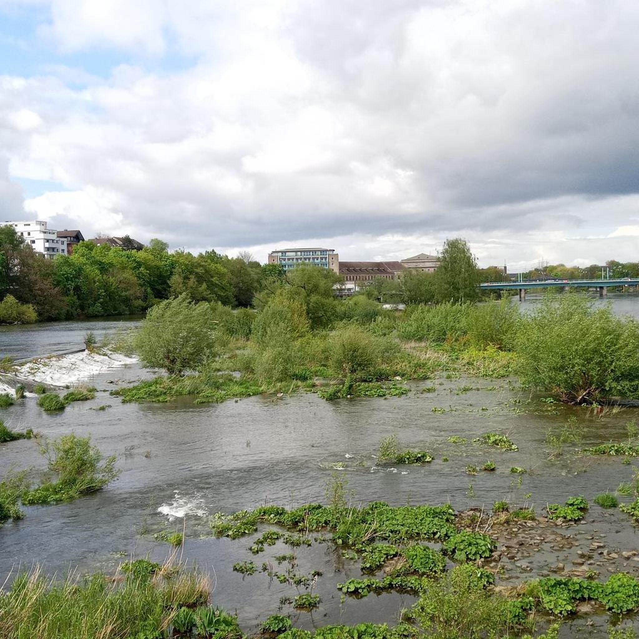
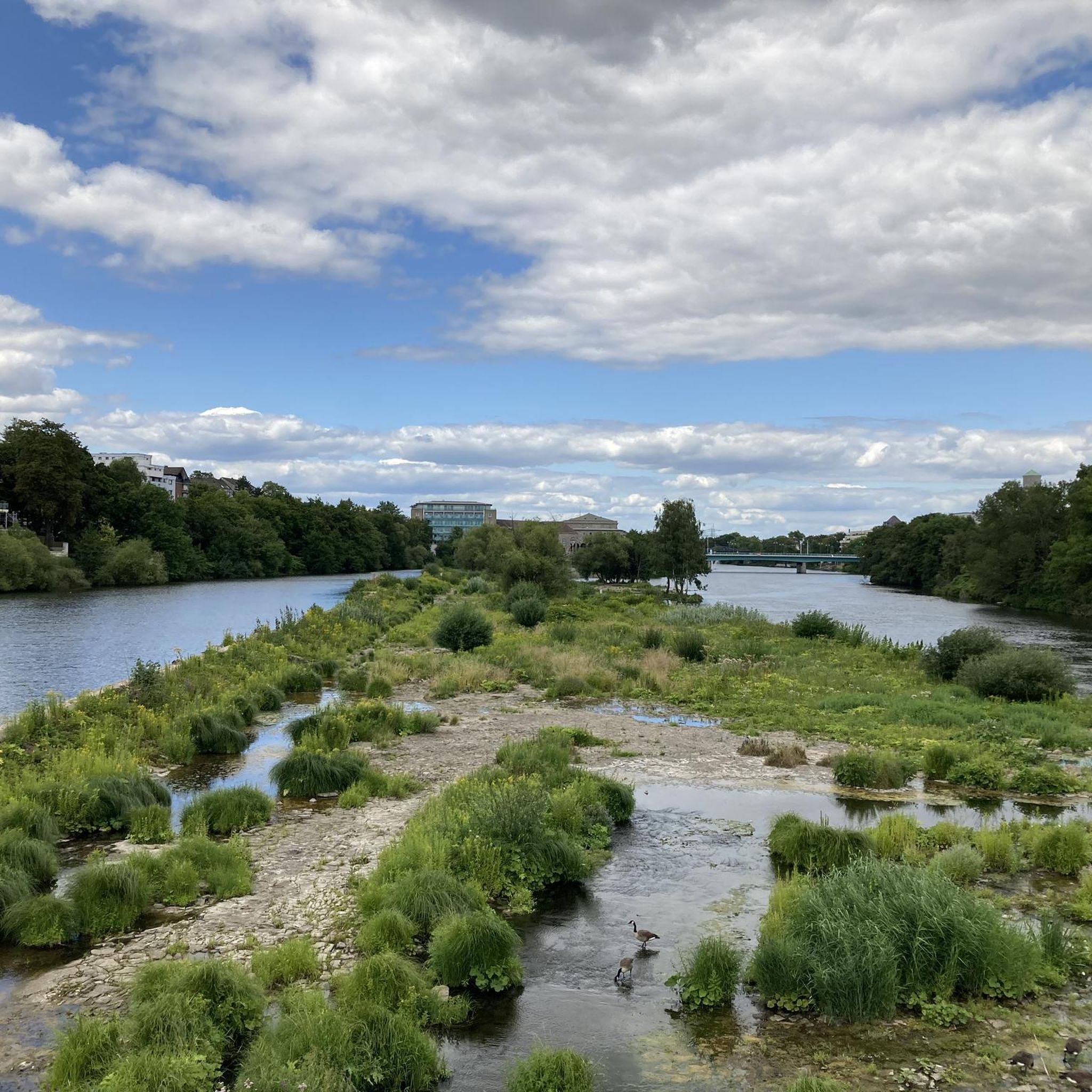
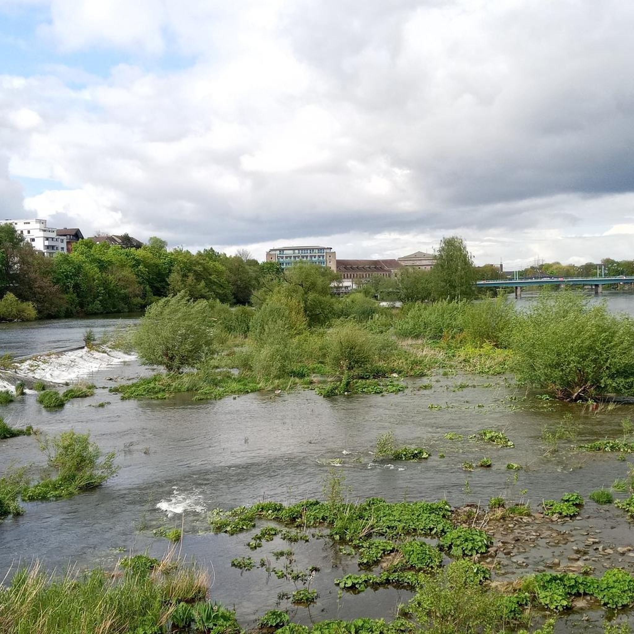
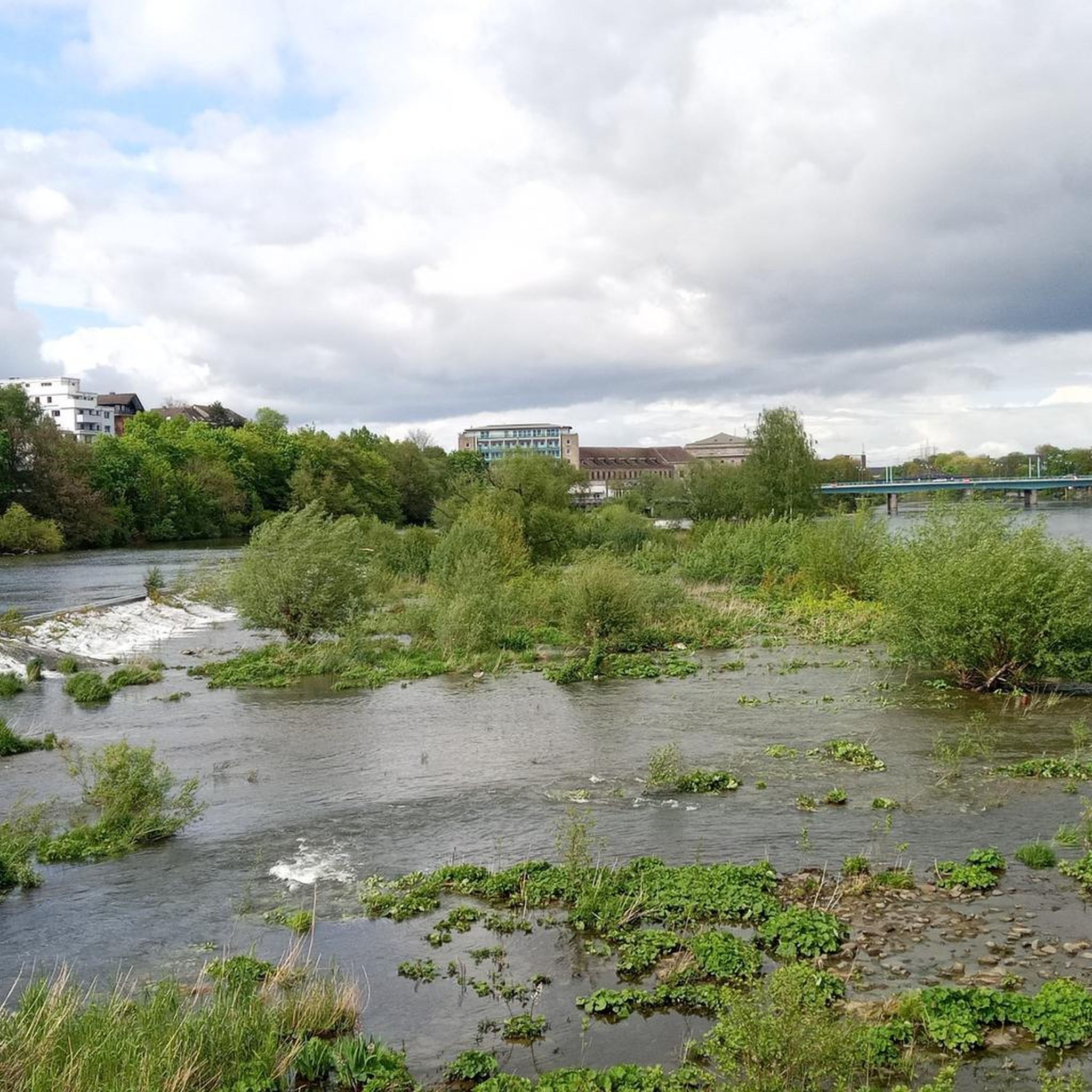
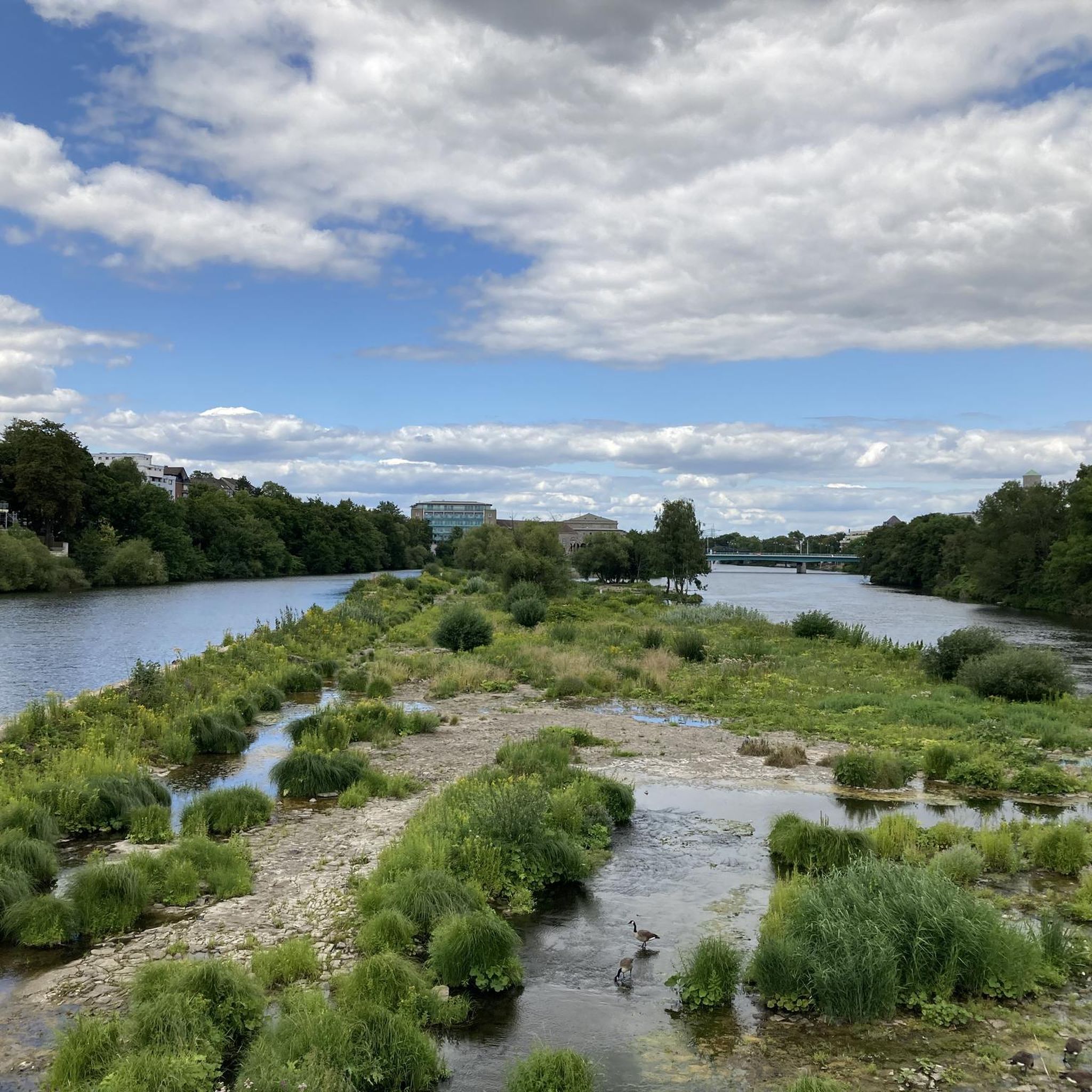
The Kahlenbergwehr in Mülheim an der Ruhr, as a historic weir with a pedestrian and cycle bridge, connects industrial history with beautiful nature on the Ruhr. The bridge, located directly on the Ruhrtalradweg (Ruhr Valley Cycle Path), offers a panoramic view of the renatured Ruhr floodplains. You can find more information here: https://geo.muelheim-ruhr.de/sehenswuerdigkeit/kahlenbergwehr/15650.
1
0

Beautiful old railway route
1
0

Worth seeing. Definitely worth it
1
0
Worth seeing. Definitely worth it
0
0
Worth seeing. Definitely worth it
0
0

The Sechs-Seen-Platte (Six Lakes Plateau) in the south of Duisburg is one of the city's largest natural and recreational areas. The area covers around 283 hectares, about half of which consists of water surfaces. The landscape is composed of several artificially created lakes, extensive forest sections, and open green areas, serving as a popular excursion destination for many people from the surrounding area. Geographically, the area lies between the districts of Wedau, Buchholz, and Großenbaum. The name comes from six lakes spread across the area: Wolfssee, Masurensee, Böllertsee, Wildförstersee, Wambachsee, and Haubachsee. The surroundings offer a mix of bathing areas, paths for walks and bike tours, as well as quieter, natural sections. Some of the lakes are interconnected: Masurensee and Wolfssee are in direct exchange, and Wolfssee borders Wildförstersee. There is also an underground connection between Masurensee and Wambachsee. On the western edge of Wambachsee, there is a weir, which, at higher water levels, diverts excess water into the old course of the Wambach and finally into the Dickelsbach. The Böllertsee is connected to the Wolfssee via a pipe on the south bank and has a controllable outlet into the Dickelsbach on the west bank. The Haubachsee is fed by the Haubach and discharges its water westward into the Wildförstersee. To do this, the forest path "Im Wolfsgrund" is crossed underneath before the water continues to flow openly. Three smaller bodies of water also flow through parts of the area: the approximately 9 km long Wambach, the approximately 22 km long Dickelsbach, which later flows into the Rhine, and the Haubach.
1
0
The Wildförstersee is located in the south of Duisburg and is part of the Sechs-Seen-Platte (Six Lakes Plateau), which also includes Wambachsee, Masurensee, Böllertsee, Wolfssee, and Haubachsee. The lakes, partly connected, have a total water surface area of around 158 hectares. The area is designed to be close to nature and is crisscrossed by large forest areas that offer a dense network of hiking trails. All lakes can be circumnavigated via well-developed paths along the shores. At Wildförstersee, targeted conservation and development measures for biotopes are implemented to promote local flora and fauna. While the southern area primarily offers peace and nature, the northern lakes are geared towards recreational activities. There, visitors will find playgrounds, sunbathing lawns, opportunities for rowing, sailing, surfing, canoeing, and diving, fishing spots, outdoor pools, boat rentals, barbecue areas, riding facilities, and a model boat harbor.
0
0
Frequently Asked Questions
How many gravel bike trails are available in Saarn-Mendener Ruhraue?
Saarn-Mendener Ruhraue offers a wide selection of gravel biking routes, with over 230 trails available. These include a mix of easy, moderate, and difficult options to suit various skill levels.
What kind of terrain can I expect on gravel bike trails in Saarn-Mendener Ruhraue?
The region, known as a 'green lung' on the Ruhr, features diverse natural landscapes. You'll find a mix of well-developed cycling infrastructure and challenging unpaved routes. Trails often follow the Ruhr Riverbanks, with options to explore bumpier, quieter detours into the surrounding hills on loose ground, offering significant elevation gains. This makes it ideal for gravel bikes, which excel on varied surfaces.
Are there routes suitable for beginners or families?
Yes, the area provides options for different ability levels. While some routes offer challenging elevation gains, there are also easier sections, particularly along the main Ruhr Valley Cycle Path, which is suitable for all fitness levels. For a moderate family-friendly option, consider the Grugatrasse – Green Belt Cycle Path Essen loop from Schloß Broich, which utilizes a former railway line.
What natural features or landmarks can I see along the gravel bike trails?
The trails offer beautiful views along the Ruhr River. You can encounter natural features like the Dohne Island within the Saarn-Mendener Ruhraue Nature Reserve. Other notable sights include the Broicher Schlagd Water Staircase and various viewpoints like the Ruhr Valley view.
Are there any historical sites near the gravel biking routes?
Yes, you can encounter historical landmarks. Schloss Broich is a prominent historical site near many routes, offering a great spot for a break. The Mülheim Water Station (Wasserbahnhof Mülheim) is another popular resting point with dining options and views of the Ruhr.
Are there any circular gravel bike routes in the area?
Many routes in Saarn-Mendener Ruhraue are designed as loops, allowing you to start and end at the same point. An example is the Six Lakes Plateau Duisburg – Sechs-Seen-Platte Duisburg loop from Schloß Broich, which takes you through varied terrain around the Six Lakes Plateau.
What is the best time of year for gravel biking in Saarn-Mendener Ruhraue?
The region is enjoyable for gravel biking throughout much of the year. Spring and autumn offer pleasant temperatures and vibrant scenery. While the Ruhr Valley Cycle Path is generally accessible, some of the bumpier, unpaved gravel sections might be more challenging in wet or icy winter conditions. Always check local weather before heading out.
Where can I park my car when visiting the gravel trails?
Many routes, such as the Mintard Bridge – Ruhr Valley Trail loop, start from locations like Schloß Broich, which typically offer parking facilities. Given the area's popularity for cycling, various parking spots are available near trailheads and access points along the Ruhr River. It's advisable to check specific starting points for detailed parking information.
Are there places to eat or rest along the routes?
Yes, the area is well-equipped with places to rest and refuel. The Mülheim Water Station (Wasserbahnhof Mülheim) is a popular spot offering dining and views. You'll also find various cafes and pubs in the towns and villages along the Ruhr River, especially in Mülheim an der Ruhr and Kettwig, which are often part of the cycling network.
What do other gravel bikers say about the trails in Saarn-Mendener Ruhraue?
The gravel biking routes in Saarn-Mendener Ruhraue are highly rated by the komoot community, with an average score of 4.3 stars from over 1,300 reviews. Cyclists frequently commend the beautiful views along the routes, especially between Kettwig and Mülheim, and appreciate the diverse terrain that combines river paths with more challenging detours into the hills.
Is there public transport access to the gravel biking trails?
The region's cycling paths are well-connected and accessible via public transport, particularly in Mülheim an der Ruhr. The Ruhr Valley Cycle Path, which runs through the area, is easily reachable from train stations, allowing for flexible start and end points for your gravel biking adventures.
Are the gravel bike trails in Saarn-Mendener Ruhraue dog-friendly?
Many of the natural paths and cycle ways in Saarn-Mendener Ruhraue are suitable for cycling with dogs, provided they are well-behaved and kept on a leash where required, especially in nature reserve areas. Always be mindful of other trail users and local regulations regarding dogs in public spaces.
What is the longest gravel bike route in the area?
One of the longer routes you can explore is the Graf Bismarck Harbour Bridge – Erzbahn Bridge loop from Schloß Broich, which covers approximately 71 kilometers (44 miles) and offers a moderate challenge.
Most popular routes in Saarn-Mendener Ruhraue
Most popular attractions in Saarn-Mendener Ruhraue

Get inspired with the komoot mobile app


Explore more
Browse the best Gravel rides in other regions.
