The best gravel rides in Krinertseen
4.8
(4)
18
riders
5
rides
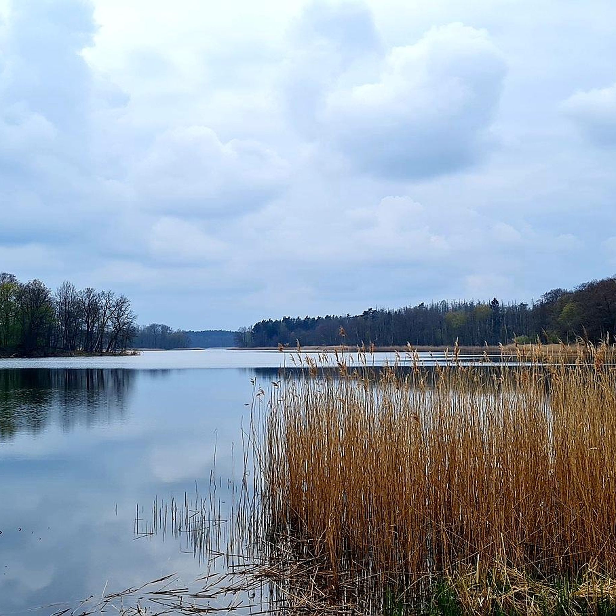
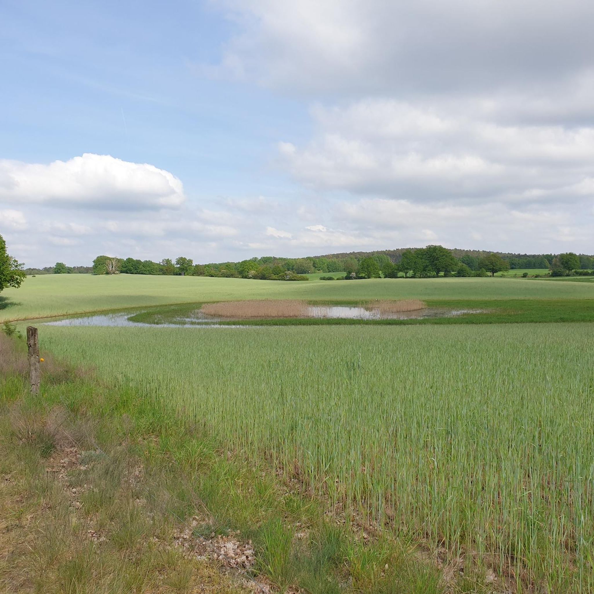
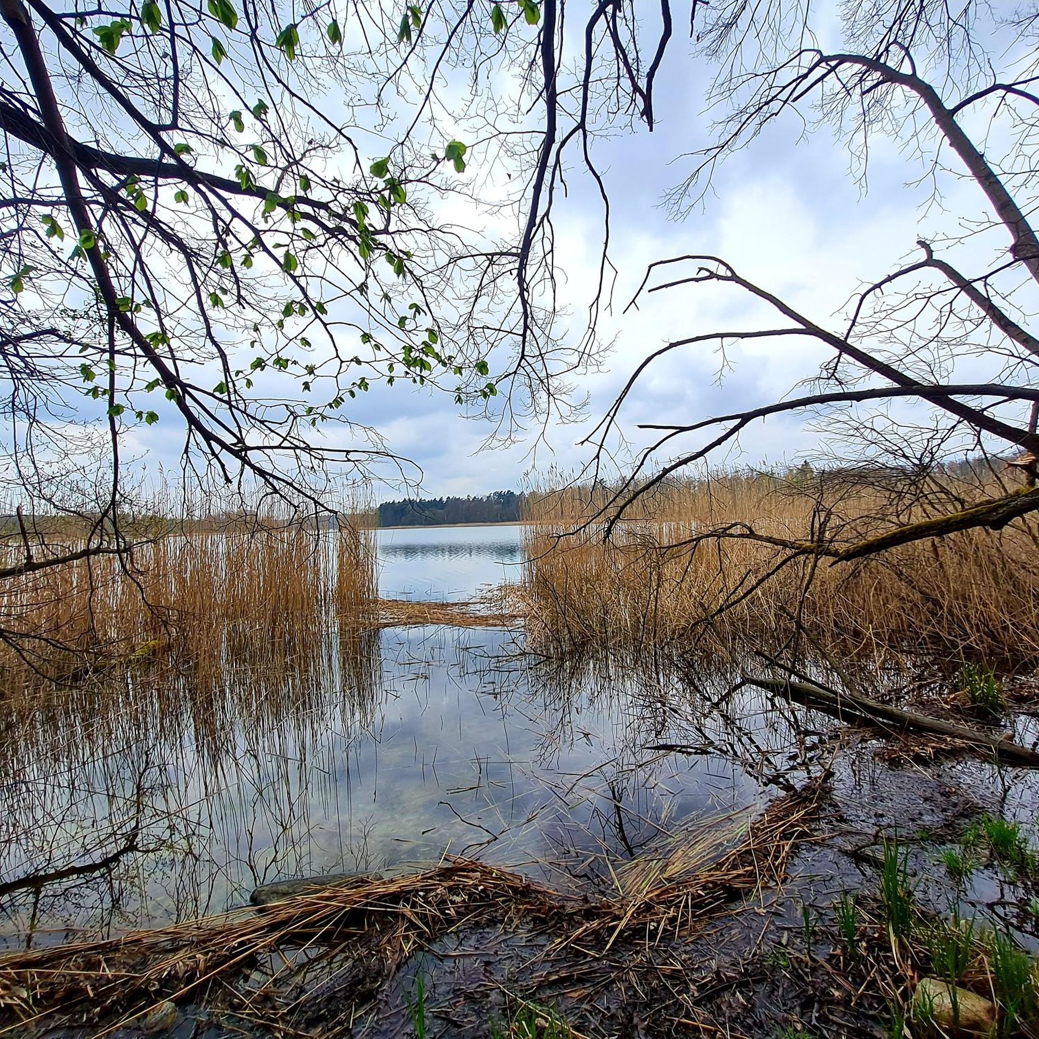
Gravel biking in Krinertseen offers routes through a landscape characterized by numerous lakes, such as Oberuckersee and Wolletzsee, and features like glacial erratics. The terrain includes varied elevations, with routes often encompassing both lakeside paths and more challenging sections. This region provides a setting for gravel bikers seeking diverse natural features and demanding trails.
Best gravel bike trails in Krinertseen
- The most popular gravel bike trail is South Tip of Oberuckersee – Berkenlatten Glacial Erratic loop from Temmen, an…
Last updated: October 20, 2026
5.0
(1)
2
riders
29.9km
01:50
180m
180m
Hard gravel ride. Good fitness required. You may need to push your bike for some segments of this route.
3
riders
Hard gravel ride. Good fitness required. You may need to push your bike for some segments of this route.

4.7
(3)
4
riders
Hard gravel ride. Good fitness required. You may need to push your bike for some segments of this route.
2
riders
Hard gravel ride. Good fitness required. You may need to push your bike for some segments of this route.
6
riders
50.9km
03:02
250m
250m
Moderate gravel ride. Good fitness required. Mostly paved surfaces. Suitable for all skill levels.
Our route recommendations are based on thousands of hikes, rides, and runs completed by other people on komoot.
Start today with a free account
Your next adventure awaits.

Tips from the Community

The city wall dates from the second half of the 13th century (partially 13th/14th century) and encloses the historic town center almost without interruption. It is approx. 1,735 meters long, an average of 6–7 meters high, and extends about 2 meters into the ground. It consists mainly of fieldstones (the top often made of brick). At regular intervals of about 25–30 meters, 47 (depending on the source, up to approx. 50–55) semi-circular watch houses are inserted. Templin is particularly characterized by the fact that most of them are designed as open, city-side semi-circular shell towers – a peculiarity that creates the impression of many towers.
1
0
The wall survived several city fires (most recently in 1735, almost the entire city) and the Thirty Years' War. From 1990 onwards, it was extensively renovated in 12 sections (completed in 2002). It is considered one of the most complete and beautiful examples of medieval North German small-town fortifications and shapes the historic town center of Templin.
0
0

Recommended, even though the steps were already pushed up by the roots towards the end of the tour. In any case, the route is very idyllic and natural. The highlights are marked by signs and by Komoot 👍
0
0

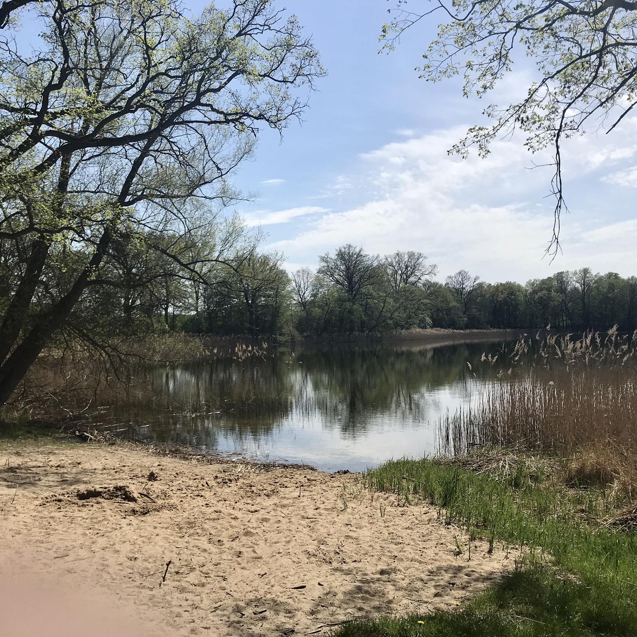
Beautiful swimming spot with a sunbathing lawn, a table-bench combination, a small jetty, and a parking lot directly at the swimming spot.
0
0

The magnificent little village, located extremely lonely on the edge of the forest, is laid out in an L-shape and has beautiful half-timbered houses everywhere on both axes. Quite difficult to reach by car and bike due to the bumpy "road" full of cobblestones.
0
0
The name is nonsense.
1
0

The boulder is a great place to sit, a lovely resting spot.
0
0
Picturesque in principle, yes, especially if it's flowering season, but as a cyclist you have to concentrate fully on the poor path. The concrete slabs are awful, and later in the small wood, it's even very steep uphill if you're heading towards Potzlow and have the great viewpoint as your destination. Cars also drive here, and it's very annoying every time you have to stop and get off your bike!
0
0
Frequently Asked Questions
How many gravel bike trails are available in Krinertseen?
Krinertseen offers 5 dedicated gravel bike trails, all of which are rated as difficult, providing a challenging experience for riders.
What kind of terrain can I expect on the gravel bike trails in Krinertseen?
The terrain in Krinertseen is characterized by varied elevations, lakeside paths, and forest sections, often featuring rolling hills and notable glacial erratics. You'll encounter a mix of surfaces suitable for gravel biking, with routes frequently encompassing both scenic lakeside stretches and more demanding sections.
Are the gravel bike routes in Krinertseen suitable for beginners?
The gravel bike routes in Krinertseen are primarily designed for experienced riders, as all 5 available trails are graded as difficult. They feature significant elevation gains and challenging distances, making them less suitable for beginners.
What are some notable natural features or landmarks I might see while gravel biking in Krinertseen?
While gravel biking in Krinertseen, you'll encounter a landscape defined by numerous lakes, such as Oberuckersee and Wolletzsee. Specific highlights include the Clear Lake and Lake Düster. Many routes also pass by unique glacial erratics and offer extensive scenic pathways along the lake shores.
Are there any loop routes for gravel biking in Krinertseen?
Yes, all the gravel bike trails in Krinertseen are designed as loop routes. For example, you can explore the South Tip of Oberuckersee – Berkenlatten Glacial Erratic loop from Temmen, which is 18.6 miles (29.9 km) long, or the longer View of Lake Oberuckersee – Scenic Pathway by Oberuckersee loop from Ringenwalde (bei Templin), covering 40.6 miles (65.3 km).
What is the longest gravel bike trail in Krinertseen?
The longest gravel bike trail in Krinertseen is the View of Lake Oberuckersee – Scenic Pathway by Oberuckersee loop from Ringenwalde (bei Templin), which spans 40.6 miles (65.3 km) and features significant elevation gain.
What is the average elevation gain on Krinertseen's gravel trails?
The gravel trails in Krinertseen feature considerable elevation gains, reflecting their 'difficult' grading. For instance, the Heiliger See Altkünkendorf – North Shore of Wolletzsee loop from Temmen-Ringenwalde has an elevation gain of approximately 322 meters, while the View of Lake Oberuckersee – Scenic Pathway by Oberuckersee loop from Ringenwalde (bei Templin) climbs over 385 meters.
What do other gravel bikers say about the trails in Krinertseen?
The gravel biking routes in Krinertseen are highly rated by the komoot community, with an average score of 4.8 stars from over 4 reviews. Riders often praise the varied terrain, the scenic lake shorelines, and the challenging nature of the trails.
Are there any trails that pass through the Wolletzsee area?
Yes, several trails explore the Wolletzsee area. A popular option is the Heiliger See Altkünkendorf – North Shore of Wolletzsee loop from Temmen-Ringenwalde, which takes you through areas around Heiliger See and the North Shore of Wolletzsee. Another route, the North Shore of Wolletzsee – Blumberger Fish Ponds loop from Groß Fredenwalde, also explores this scenic lake region.
What is the shortest gravel bike trail in Krinertseen?
The shortest gravel bike trail available is the South Tip of Oberuckersee – Berkenlatten Glacial Erratic loop from Temmen, which is 18.6 miles (29.9 km) long and typically takes around 2 hours and 10 minutes to complete.
Can I find trails that offer views of Oberuckersee?
Absolutely. Many routes in Krinertseen feature stunning views of Oberuckersee. The View of Lake Oberuckersee – Scenic Pathway by Oberuckersee loop from Ringenwalde (bei Templin) is specifically designed to offer extensive scenic pathways along Lake Oberuckersee, providing ample opportunities to enjoy the lake's beauty.
Most popular routes in Krinertseen
Most popular attractions in Krinertseen

Get inspired with the komoot mobile app


Explore more
Browse the best Gravel rides in other regions.
