The best walks and hikes in Krinertseen
4.6
(1044)
3,456
hikers
180
hikes
Hiking in Krinertseen offers a network of trails primarily characterized by its numerous lakes and surrounding woodlands within the Uckermark region. The terrain generally features gentle elevation changes, making it accessible for various hiking abilities. Routes often traverse natural parks, connecting points of interest such as lake shores and rural estates. The area provides opportunities for exploring diverse natural landscapes.
Best hiking trails in Krinertseen
- The most popular hiking route is Gutshof Alt-Temmen – Düstersee West Shore loop from Temmen…
Last updated: October 2, 2026
4.9
(31)
102
hikers
6.32km
01:38
40m
40m
Easy hike. Great for any fitness level. Easily-accessible paths. Suitable for all skill levels.
4.8
(34)
100
hikers
7.41km
01:55
40m
40m
Easy hike. Great for any fitness level. Easily-accessible paths. Suitable for all skill levels.

4.8
(4)
20
hikers
14.9km
03:51
70m
70m
Moderate hike. Good fitness required. Easily-accessible paths. Suitable for all skill levels.
4.8
(6)
23
hikers
14.9km
03:51
70m
70m
Moderate hike. Good fitness required. Easily-accessible paths. Suitable for all skill levels.
5.0
(9)
30
hikers
16.0km
04:08
90m
90m
Moderate hike. Good fitness required. Easily-accessible paths. Suitable for all skill levels.
Get access to more routes and recommendations from other explorers.
Already have an account?
Our route recommendations are based on thousands of hikes, rides, and runs completed by other people on komoot.
Start today with a free account
Your next adventure awaits.

Tips from the Community


The farm shop of the estate is highly recommended. Open every day except Sunday. Regional and sustainably produced specialties.
1
0

Poratz was first mentioned in a document in 1375 in the Land Book of the Mark Brandenburg. However, the origins go back to a Slavic settlement in the 11th century. In the centuries that followed, the area suffered greatly from famine and plague. In the 16th and 17th centuries, sheep and cattle were raised and in the 18th century the place developed into a charcoal village thanks to the extensive forests in the area. Most of the half-timbered houses that still exist today go back to this time.
2
0

The European cycle path goes through Hohenwalde.
0
0
Very quiet corner in the Uckermark
1
0
Frequently Asked Questions
What kind of terrain can I expect when hiking in Krinertseen?
Hiking in Krinertseen primarily features trails through numerous lakes and surrounding woodlands within the Uckermark region. The terrain generally has gentle elevation changes, making it accessible for various hiking abilities. You'll often traverse natural parks and connect points of interest like lake shores and rural estates.
Are there easy hiking trails suitable for beginners in Krinertseen?
Yes, Krinertseen offers many easy hiking trails. Out of 187 total routes, 73 are classified as easy. An example is the Düstersee West Shore – Gutshof Alt-Temmen loop from Krinertseen, which is 4.6 miles (7.5 km) with minimal elevation gain.
How long do hikes in Krinertseen typically take?
Hikes in Krinertseen vary in length and duration. Shorter, easy routes like the Gutshof Alt-Temmen – Düstersee West Shore loop from Temmen can be completed in about 1 hour 42 minutes. Longer, moderate trails such as the Großer Krinertsee – Gutshof Alt-Temmen loop from Temmen, which is 9.3 miles (15.0 km), typically take around 3 hours 52 minutes.
Are there any challenging hikes in Krinertseen?
While Krinertseen is known for its gentle terrain, there are some more challenging options. There are 18 routes classified as difficult. For example, the Gutshof Alt-Temmen – Bathing Area at Sabinensee loop from Temmen is a moderate 15.8 km route with over 120 meters of elevation gain, offering a longer and more demanding experience.
What are some scenic spots or landmarks to see along the hiking trails?
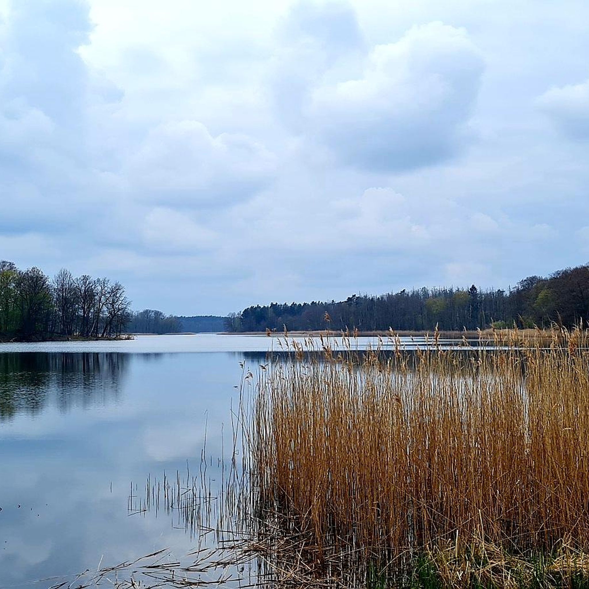
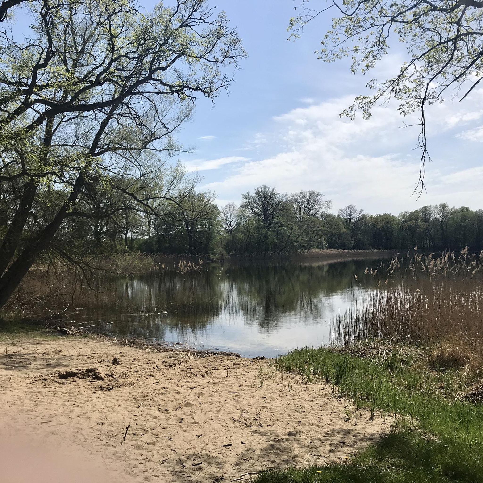
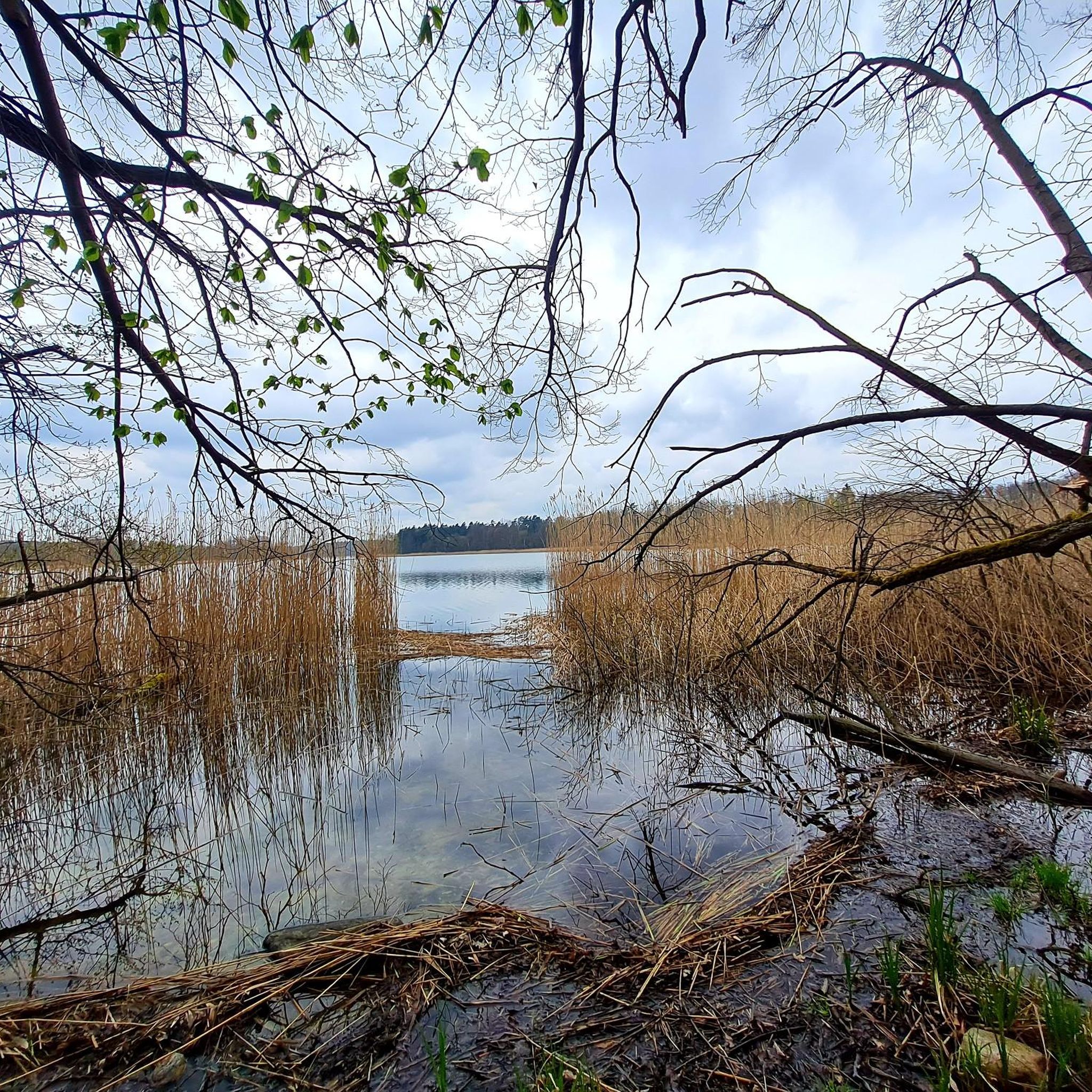
Many trails in Krinertseen lead to scenic spots, particularly around its numerous lakes. You can explore areas like Clear Lake and Lake Düster. The region's character is defined by these natural water bodies and the surrounding woodlands.
Are there circular hiking routes available in Krinertseen?
Yes, many of the hiking routes in Krinertseen are circular, allowing you to start and end at the same point. Examples include the Poratz – Gutshof Alt-Temmen loop from Temmen, which is a moderate 16 km trail, and the shorter Gutshof Alt-Temmen – Düstersee West Shore loop from Temmen.
What do other hikers say about the trails in Krinertseen?
The hiking trails in Krinertseen are highly regarded by the komoot community, with an average rating of 4.6 stars from over 900 reviews. Hikers often praise the diverse natural landscapes, the well-maintained paths, and the peaceful atmosphere of the lake and woodland areas.
Is Krinertseen suitable for family-friendly hikes?
Yes, Krinertseen is well-suited for family-friendly hikes due to its generally gentle elevation changes and numerous easy trails. Many routes are designed to be accessible, allowing families to enjoy the natural surroundings together. Look for routes classified as 'easy' for the most suitable options.
Are there any specific trails that offer views of the lakes?
Many trails in Krinertseen offer beautiful lake views. The region is characterized by its numerous lakes, and routes often follow their shores. For instance, the Großer Krinertsee – Gutshof Alt-Temmen loop from Temmen leads along the shores of Großer Krinertsee, providing scenic vistas.
How many hiking routes are there in total in Krinertseen?
There are over 180 hiking routes available in Krinertseen, offering a wide variety of options for different skill levels and preferences. This includes 73 easy, 96 moderate, and 18 difficult trails.
What is the general character of the landscape in Krinertseen?
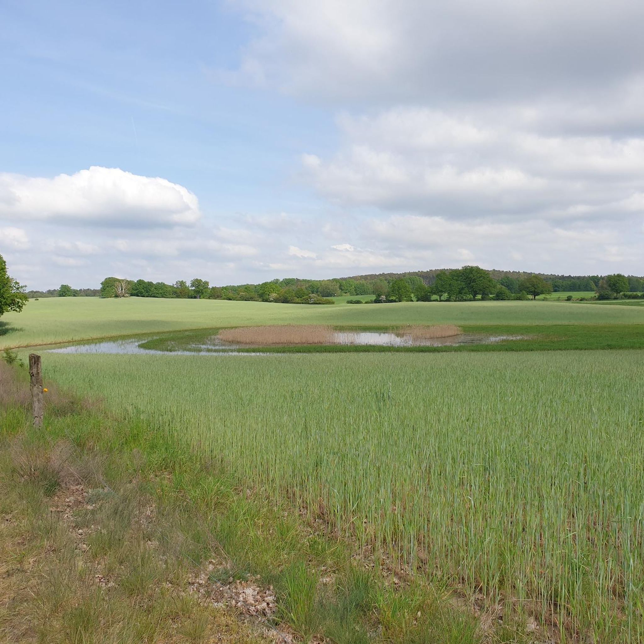
The landscape in Krinertseen is defined by its network of numerous lakes and dense woodlands, situated within the Uckermark region. You'll find gentle hills and diverse natural environments, making it a picturesque area for outdoor exploration.
Most popular routes in Krinertseen
Most popular attractions in Krinertseen

Get inspired with the komoot mobile app


Explore more
Browse the best Hikes in other regions.
