The best road cycling routes around Kaltensundheim
4.5
(98)
876
riders
12
rides
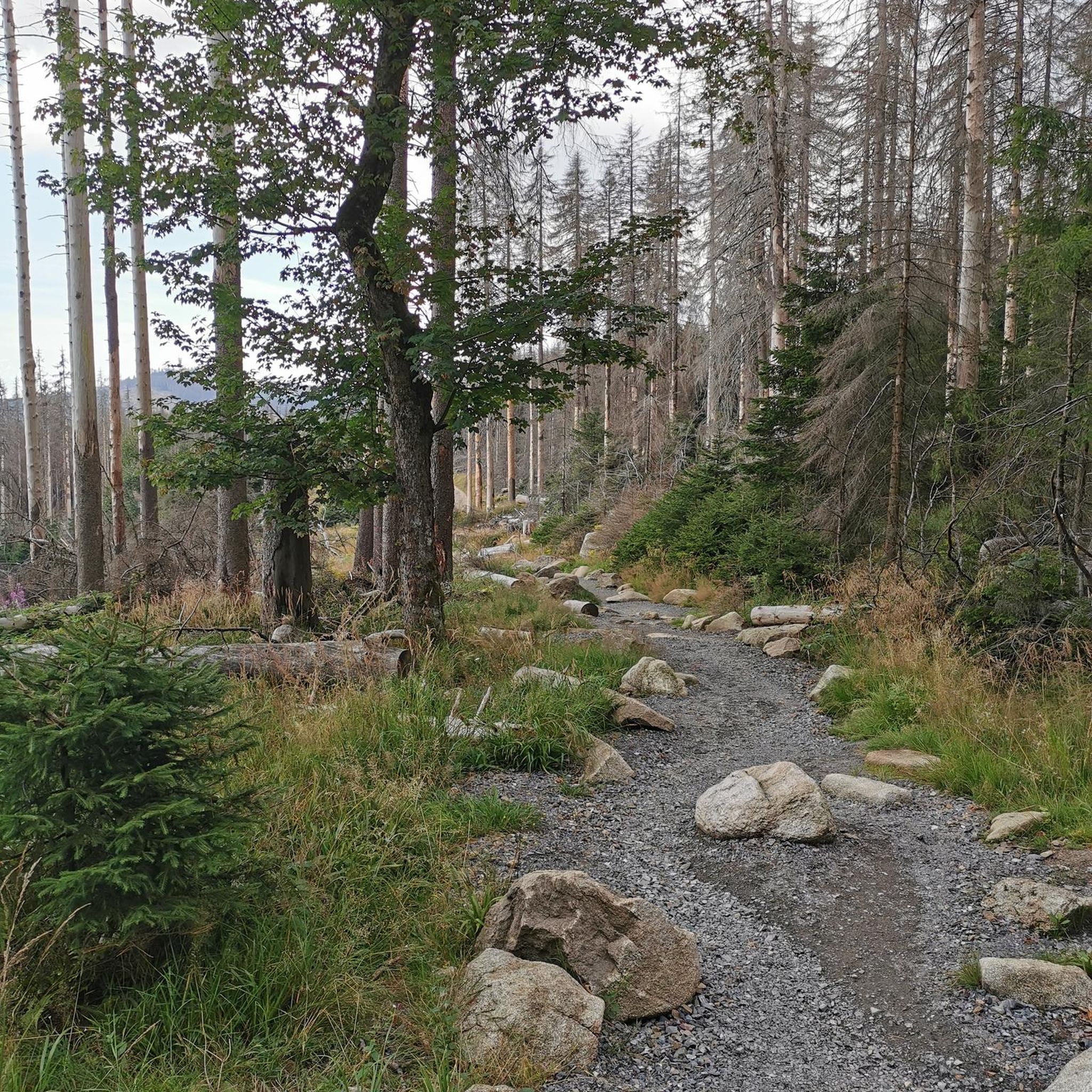
Road cycling around Kaltensundheim offers diverse terrain within the UNESCO Rhön Biosphere Reserve, known as the "Land of Open Distances." The region features a unique volcanic landscape with gentle mountain slopes, expansive plateaus, and wide valleys. Cyclists can expect routes through blossoming meadows, shaded forests, and along river valleys like the Werra, often on quiet, tarmacked roads. The area provides a range of challenges, from mostly flat sections to more demanding ascents.
Best road cycling routes around Kaltensundheim
- The most…
Last updated: July 6, 2026
5.0
(4)
40
riders
42.9km
01:58
460m
460m
Moderate road ride. Good fitness required. Mostly well-paved surfaces and easy to ride.
10
riders
73.3km
03:07
570m
570m
Moderate road ride. Good fitness required. Mostly well-paved surfaces and easy to ride.

Sign up for free
7
riders
38.5km
01:56
550m
550m
Moderate road ride. Good fitness required. Some segments of this route may be unpaved and difficult to ride.
6
riders
43.2km
02:08
630m
630m
Moderate road ride. Good fitness required. Mostly well-paved surfaces and easy to ride.
5.0
(2)
5
riders
64.0km
03:14
640m
640m
Moderate road ride. Good fitness required. Some segments of this route may be unpaved and difficult to ride.
Get access to more routes and recommendations from other explorers.
Sign up for free
Already have an account?
Our route recommendations are based on thousands of hikes, rides, and runs completed by other people on komoot.
Start today with a free account
Your next adventure awaits.
Login or Signup
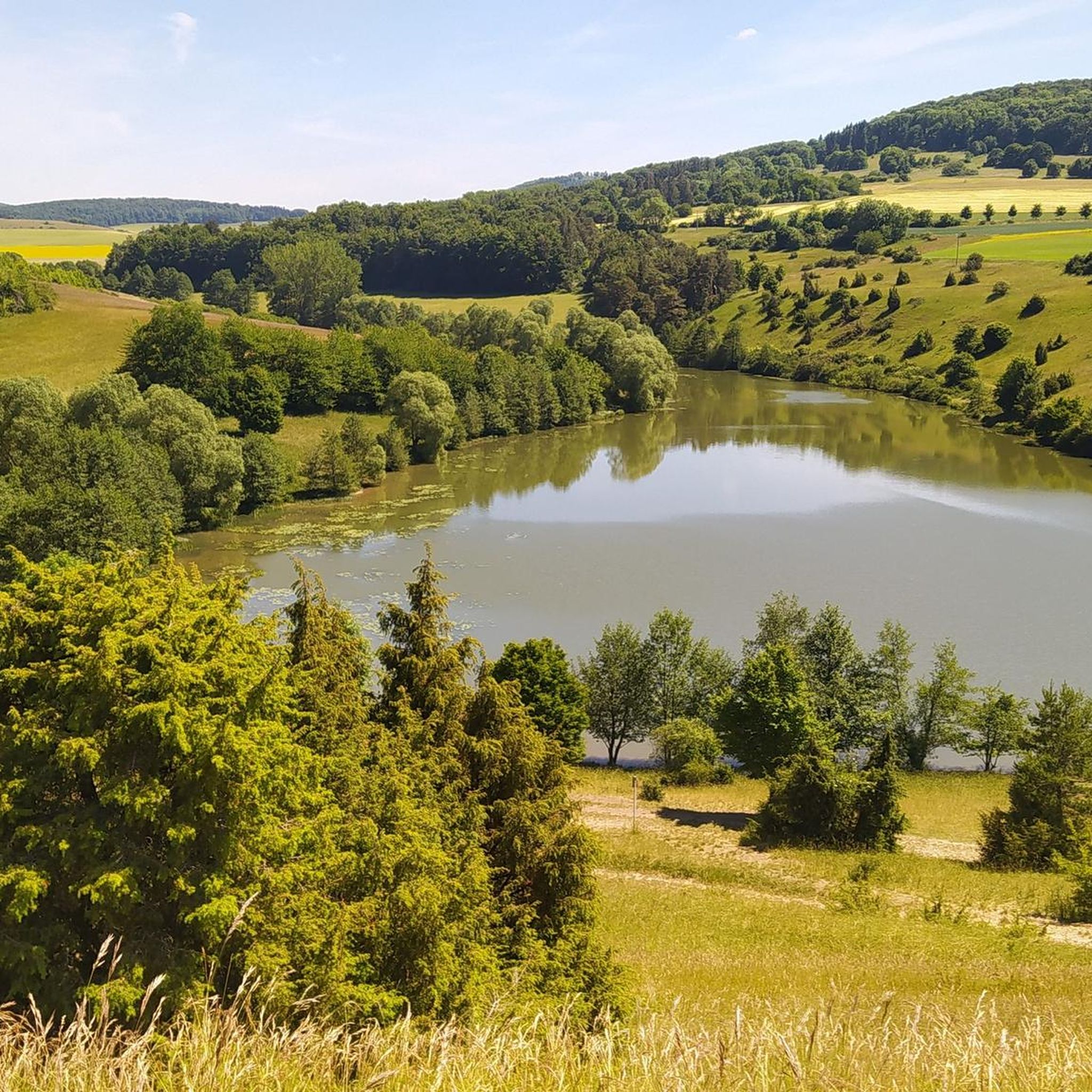
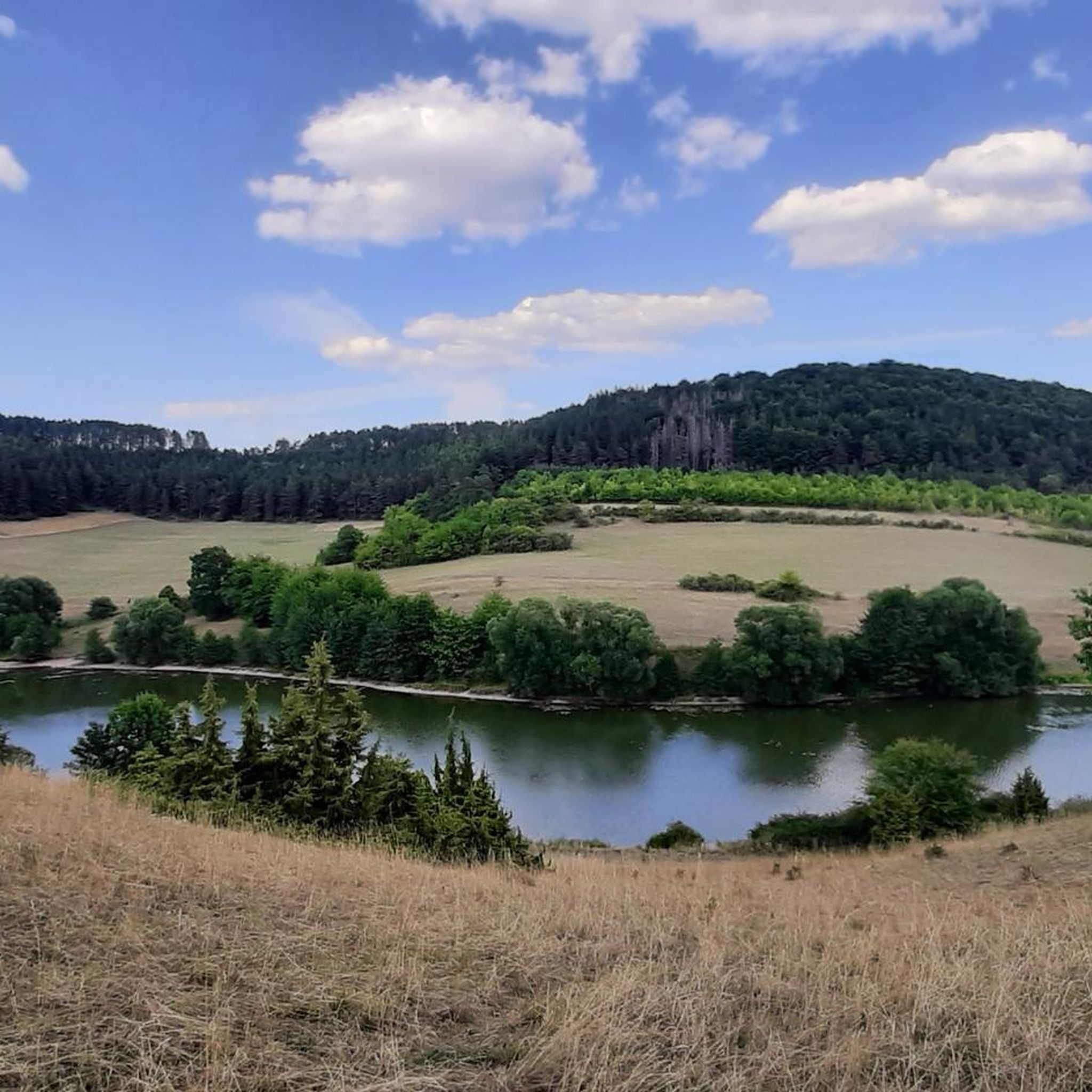
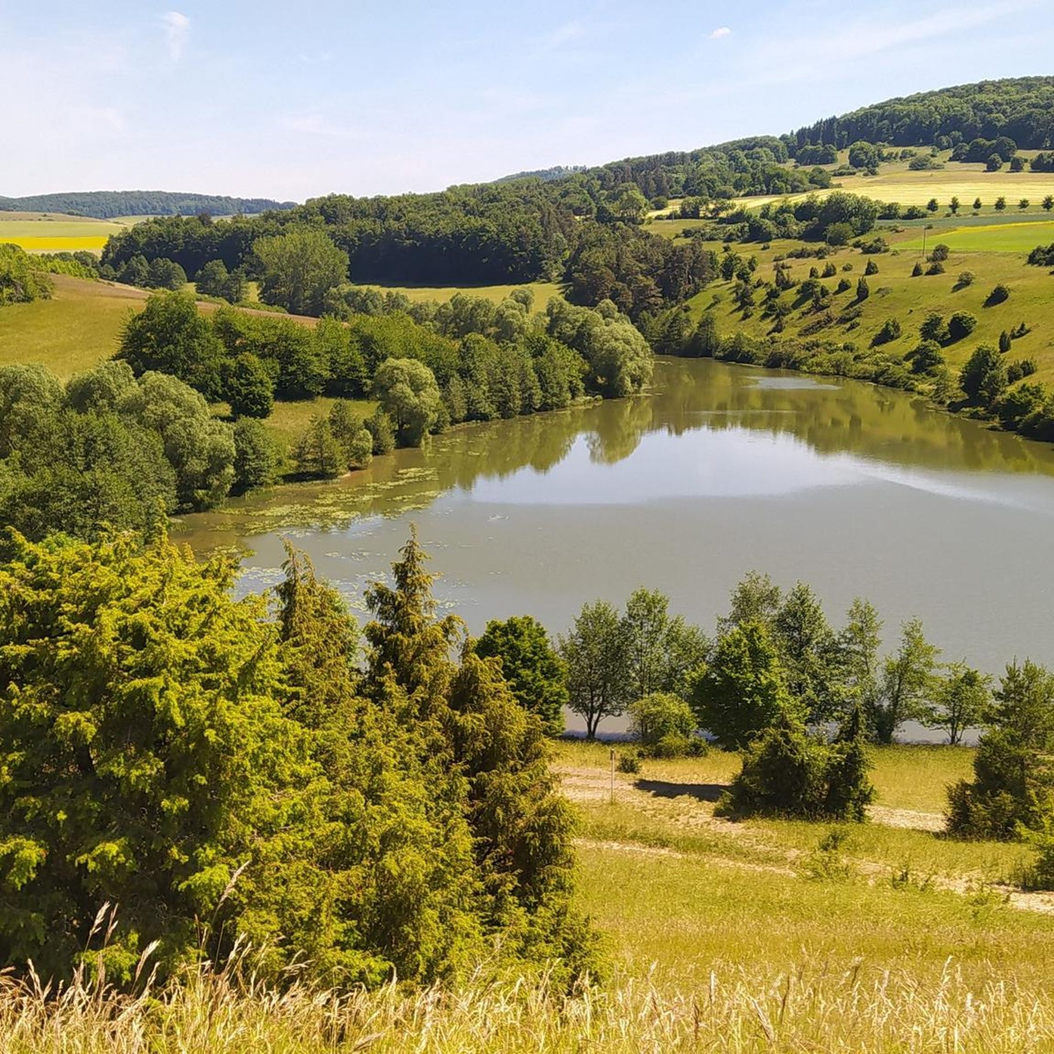
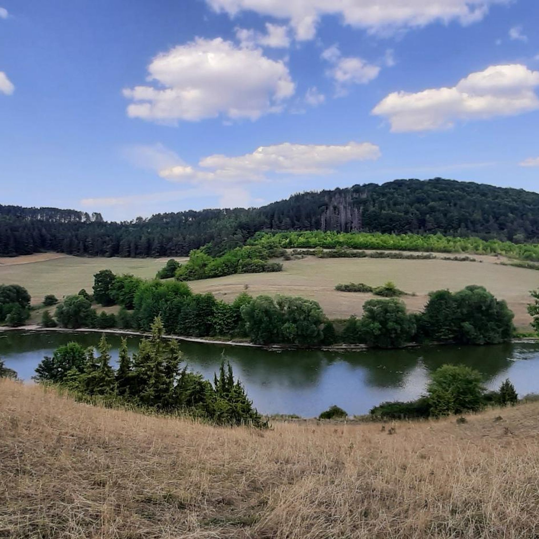
Tips from the Community


Very steep climb, consistently between 15 and 18%. Currently also part of the Rhön Radmarathon route
0
0

The northernmost inn in Bavaria. Very good, traditional cuisine.
0
0
Simply a bridge over the Werra
0
0

Water feature in Neidhartsha🏞🎡
0
0


Pretty, large bridge over the Werra
0
0

Zur Weimarschmiede - The rustic, cozy inn has space for up to 35 guests and when the weather is nice, the shady beer garden is open with a further 30 seats. Hikers, cyclists, bikers and even your dog are very welcome. A weekly changing menu has many delicacies on offer, and rooms can also be rented (Info Zur Weimarschmiede, where you can also find the opening times)
0
0
Frequently Asked Questions
How many road cycling routes are available around Kaltensundheim?
There are 12 dedicated road cycling routes around Kaltensundheim listed on komoot, offering a variety of experiences within the UNESCO Rhön Biosphere Reserve. These routes range from moderate to difficult, catering to different fitness levels.
What kind of terrain can I expect when road cycling in the Kaltensundheim region?
The Kaltensundheim region, part of the Rhön Biosphere Reserve, features a unique volcanic landscape. You'll encounter gentle mountain slopes, expansive plateaus, and wide valleys. Routes often traverse blossoming meadows, shaded forests, and follow scenic river valleys like the Werra, predominantly on tarmacked paths and quiet roads. The terrain offers a mix of mostly flat sections and more demanding ascents.
Are there any family-friendly road cycling options near Kaltensundheim?
While many routes in the area involve some elevation, the Rhön Biosphere Reserve generally offers paths suitable for a basic level of fitness. Look for routes that follow river valleys or flatter sections of the long-distance cycle paths, which tend to be less strenuous. For example, the Feldabahn Cycle Path – View of Kaltennordheim loop from Hohe Rhön is a moderate route that could be a good starting point for families with some cycling experience.
What are some notable landmarks or viewpoints I can see along the road cycling routes?
The region offers several scenic points. You can cycle towards viewpoints like the Noah's Segel Observation Tower on the Ellenbogen or the Buchschirmberg summit. The Hohe Geba Summit is another prominent peak offering expansive views. Many routes also pass through historic villages with idyllic half-timbered buildings.
What is the best time of year for road cycling around Kaltensundheim?
The best time for road cycling in the Rhön Biosphere Reserve is generally from spring through autumn. During these seasons, the weather is more favorable, and the landscapes are vibrant with blossoming meadows or autumn colors. While winter cycling is possible, be prepared for colder temperatures and potentially icy conditions on higher elevations.
Are there any circular road cycling routes available from Kaltensundheim?
Yes, many of the road cycling routes around Kaltensundheim are designed as loops, allowing you to start and end in the same location. For instance, the Feldabahn Cycle Path – Werra Bridge Schwallungen loop from Hohe Rhön and the View of Kaltennordheim – The local pub loop from Hohe Rhön are popular circular options.
Where can I find parking for road cycling routes in Kaltensundheim?
Kaltensundheim and the surrounding villages typically offer public parking facilities suitable for cyclists. Given its popularity as an outdoor destination, you'll often find designated parking areas near trailheads or in town centers, especially for routes that start and end in the same location.
Can I reach the road cycling routes around Kaltensundheim using public transport with my bike?
The Rhön region has some public transport options, including bus services, that may accommodate bicycles, though availability can vary. For long-distance routes like the Rhön Cycleway, specific bike-friendly bus services might be available during peak seasons. It's advisable to check local public transport schedules and bike carriage policies in advance for the specific route you plan to take.
What do other road cyclists enjoy most about road cycling in Kaltensundheim?
The road cycling routes around Kaltensundheim are highly rated by the komoot community, with an average score of 4.5 stars from over 80 reviews. Cyclists frequently praise the diverse volcanic landscapes, the quiet, well-maintained tarmacked roads, and the scenic views of the Rhön Biosphere Reserve. The variety of routes, from river valleys to more challenging ascents, is also a common highlight.
Are there places to stop for refreshments or food along the cycling routes?
Yes, the Rhön region is dotted with villages and towns that offer opportunities for refreshments. You'll find local pubs and cafes in places like Kaltensundheim itself, or in nearby towns such as Kaltennordheim. Some routes might also pass by huts or rest areas, such as the Rhönpaulus Rest Area, where you can take a break.
Are there any challenging road cycling routes for experienced riders?
Yes, while many routes are moderate, Kaltensundheim also offers more challenging options for experienced road cyclists. The volcanic landscape means some routes feature significant elevation gains spread over several stages. For example, the M. Uehling Stiege – Feldabahn Cycle Path loop from Hohe Rhön is a moderate route with over 600 meters of elevation gain, providing a good workout.
What are the typical distances and durations for road cycling routes in this area?
The road cycling routes around Kaltensundheim vary in length and duration. You can find routes ranging from approximately 38 km (23.9 miles) like the View of Kaltennordheim – The local pub loop from Hohe Rhön, which takes about 1 hour 56 minutes, to longer rides such as the Sülztal Cycle Path – Rest Area at the Werra Bridge loop from Kaltensundheim, covering about 64 km (39.8 miles) and taking around 3 hours 14 minutes.
Most popular routes around Kaltensundheim
Most popular attractions around Kaltensundheim

Get inspired with the komoot mobile app


Explore more
Browse the best Road cycling routes in other regions.
