The best gravel rides around Kaltensundheim
4.9
(9)
33
riders
4
rides
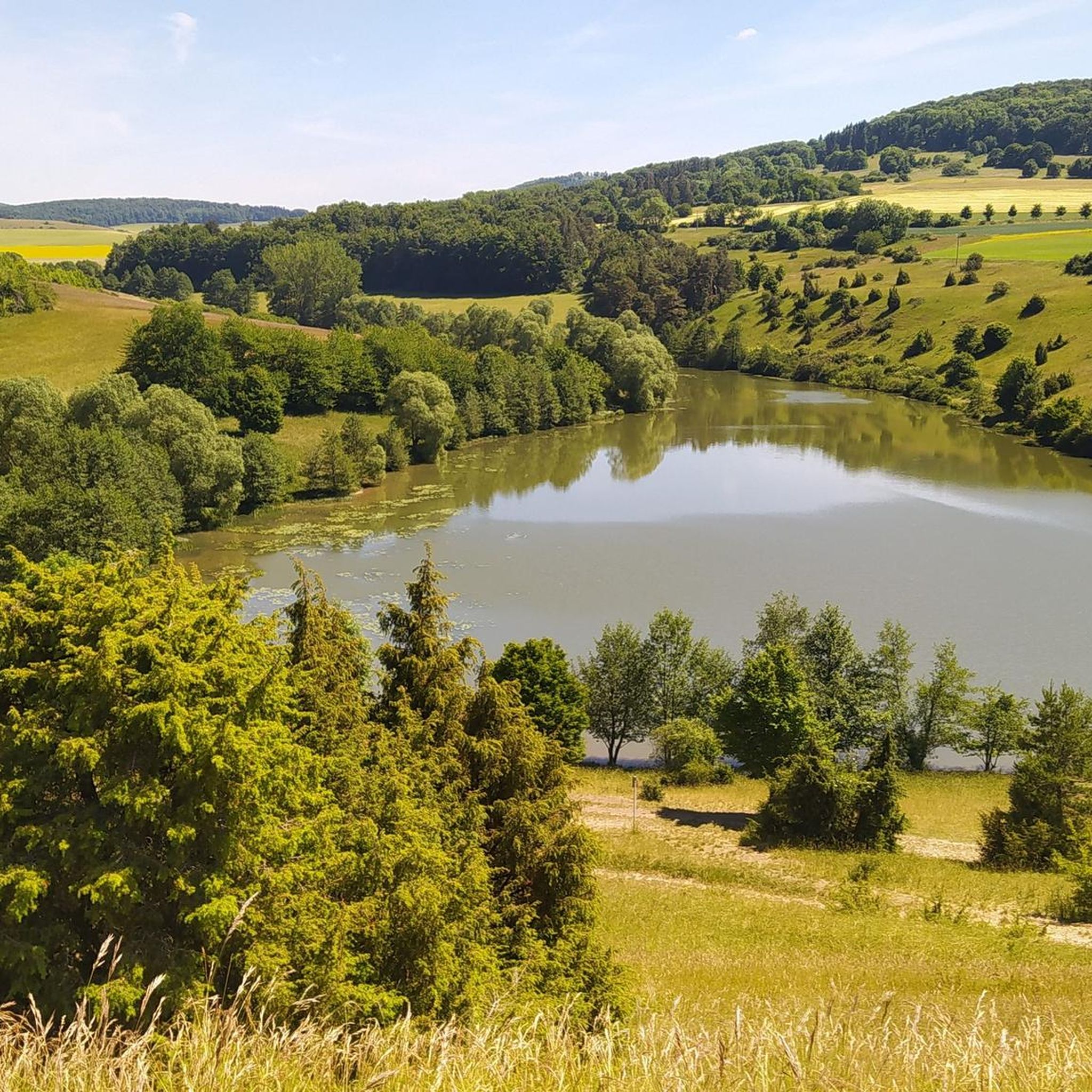
Gravel biking around Kaltensundheim offers diverse terrain within the Rhön Biosphere Reserve, characterized by its volcanic origins, rolling hills, and expansive meadows. The region features a network of unpaved roads and trails through dense forests, providing varied ascents and descents. Converted former railway lines, such as the Feldabahn, also offer smoother paths for gravel biking. This landscape provides a mix of challenging climbs and more leisurely rides.
Best gravel bike trails around Kaltensundheim
- The most popular gravel bike trail is…
Last updated: July 16, 2026
4.7
(3)
15
riders
37.2km
02:54
610m
610m
Hard gravel ride. Very good fitness required. Mostly paved surfaces. Suitable for all skill levels.
5.0
(4)
13
riders
30.8km
01:47
320m
320m
Moderate gravel ride. Good fitness required. Mostly paved surfaces. Suitable for all skill levels.

Sign up for free
5.0
(2)
3
riders
59.9km
03:55
1,050m
1,050m
Hard gravel ride. Very good fitness required. Mostly paved surfaces. Suitable for all skill levels.
2
riders
25.3km
01:33
370m
370m
Moderate gravel ride. Good fitness required. Mostly paved surfaces. Suitable for all skill levels.
Our route recommendations are based on thousands of hikes, rides, and runs completed by other people on komoot.
Start today with a free account
Your next adventure awaits.
Login or Signup
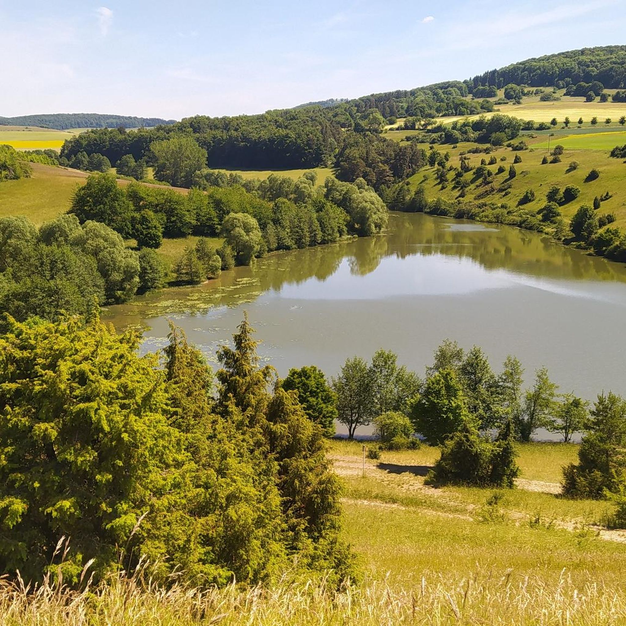
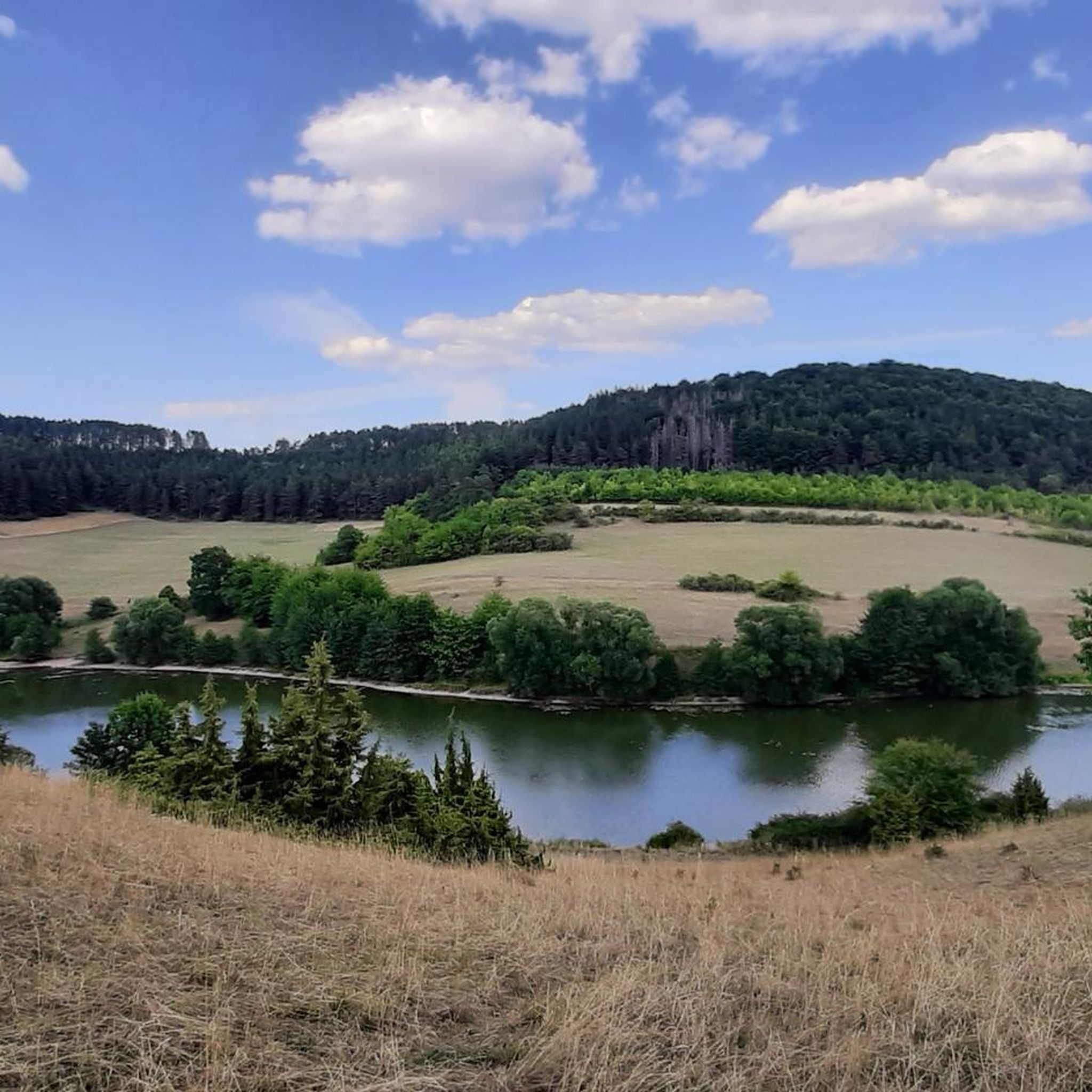
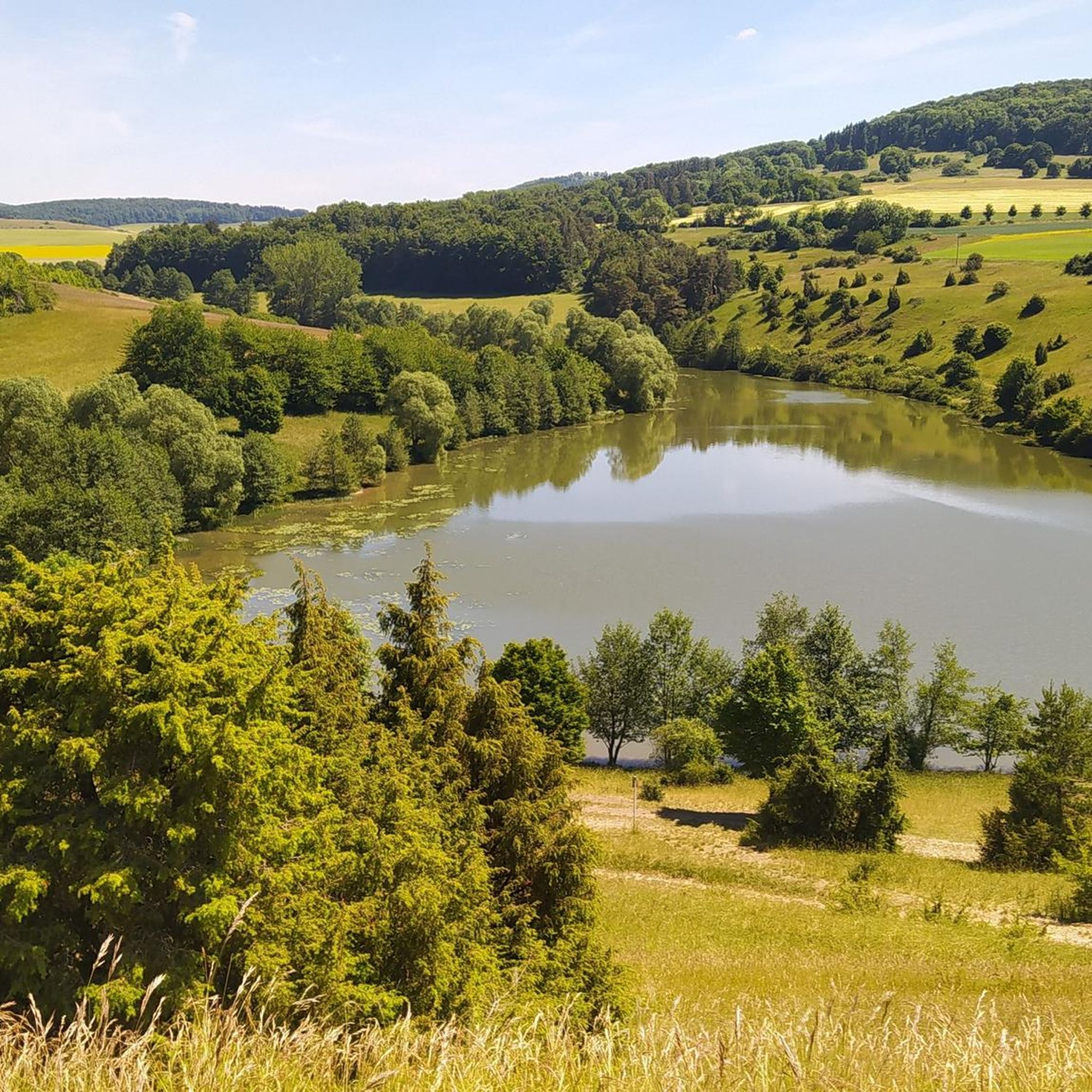
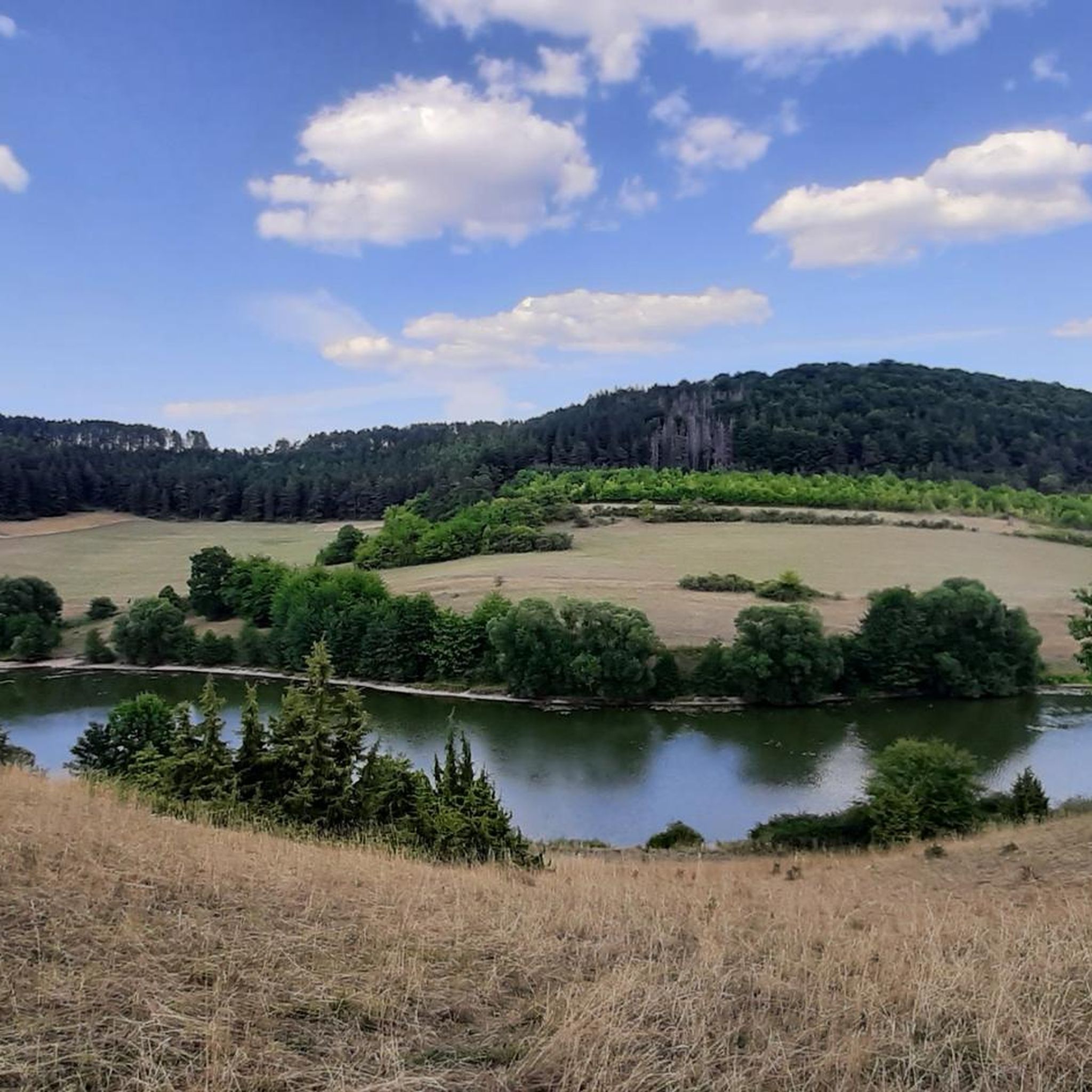
Tips from the Community

Very worthwhile to walk there - beautiful view from the tower.
0
0

Always beautiful and full of memories...
0
0

Oll Oll Oll Oll Oll oll oll ä Pop Pop LOL Oll LOL LOL LOL LOL LOL Oll Oll p ö Oll Oll Mol Oll LL LL LL LOL komm l p
0
2


Here, on the fourth highest mountain in the Rhön, the Hessian-Bavarian border runs... from here, if the weather is good, you can see the Lange Rhön. At the summit, there is a German Telekom transmission tower that can be seen from far away.
12
0

Around our beautiful Franconian villages there are not only many hiking trails but also many small details that make our homeland a lovely place to be and that awaken our longing for "home" when we are far away.
0
0
Frequently Asked Questions
How many gravel bike trails are available around Kaltensundheim?
Kaltensundheim and the surrounding Rhön Biosphere Reserve offer a diverse network of over 5 gravel bike trails. These routes cater to various skill levels, from moderate paths to more challenging climbs, ensuring a suitable option for most riders.
What is the general difficulty level of gravel biking in Kaltensundheim?
The gravel biking trails around Kaltensundheim feature a mix of moderate and difficult routes. You'll find 2 moderate trails and 3 difficult trails, characterized by rolling hills, dense forests, and varied ascents and descents within the Rhön Mountains.
Are there any beginner-friendly gravel routes in the area?
While many routes offer varied terrain, a good starting point for those looking for a moderate challenge is the Hohe Asch Summit – Felda Rail Trail loop from Empfertshausen. This 15.7-mile (25.3 km) path incorporates sections of a former railway line, providing a smoother experience while still offering scenic views.
What natural features can I expect to see on gravel bike trails around Kaltensundheim?
You'll experience the unique volcanic landscapes of the Rhön Biosphere Reserve, with rolling hills, vast meadows, and dense forests. Notable natural features include the unique Black Moor area, which you can explore on routes like the Schwarzes Moor loop from Flagunden, and views towards the highest peak, Wasserkuppe.
Are there any notable landmarks or viewpoints along the gravel routes?
Yes, the region boasts several impressive viewpoints and landmarks. You can find routes offering views of the Wasserkuppe, as seen on the View of Wasserkuppe loop from Dippach. Other highlights include the Noah's Segel Observation Tower on the Ellenbogen and the Buchschirmberg summit, offering panoramic vistas of the Rhön.
Are there any gravel routes that follow old railway lines?
Yes, the conversion of former railway lines into cycling paths is a highlight of the region. The Hohe Asch Summit – Felda Rail Trail loop from Empfertshausen incorporates sections of the Felda Rail Trail. Another option is the Streutalbahn Railway Path – Fladungen Museum Railway loop from Fladungen, which offers a smoother ride through scenic areas.
Are there circular gravel bike routes available around Kaltensundheim?
Many of the gravel bike routes in the area are designed as loops, allowing you to start and end at the same point. Examples include the Schwarzes Moor loop from Flagunden, the Hohe Asch Summit – Felda Rail Trail loop from Empfertshausen, and the View of Wasserkuppe loop from Dippach.
What do other gravel bikers enjoy most about the trails in Kaltensundheim?
The gravel biking routes around Kaltensundheim are highly rated by the komoot community, with an average score of 4.9 stars. Riders often praise the varied terrain, the beautiful natural landscapes of the Rhön Biosphere Reserve, and the well-maintained paths, including sections of converted railway lines.
Are there any challenging gravel bike routes for experienced riders?
Yes, for experienced gravel bikers seeking a challenge, routes like the View of Wasserkuppe – View of Wasserkuppe loop from Dippach offer significant climbs and longer distances. This 37.1-mile (59.8 km) trail leads through the demanding terrain of the Rhön Mountains and is classified as difficult.
What other attractions can I explore near the gravel bike trails?
Beyond the trails, the region offers various attractions. You can visit the Paulus Cave or the Rhönpaulus Cave in the Ibengarten. For more scenic views, consider exploring other peaks like the Hohe Geba Summit or the Gläserberg Summit.
Can I find places to rest or picnic along the routes?
The Rhön Biosphere Reserve features several designated picnic areas, often with scenic views of the surrounding mountains and the Thuringian Forest. These spots provide ideal opportunities for breaks during your gravel biking excursions.
Is Kaltensundheim suitable for family-friendly cycling?
While specific 'family-friendly' gravel routes are not explicitly listed, the presence of converted railway lines, such as sections of the Feldabahn, offers smoother and less trafficked paths that can be more suitable for families or those seeking a more relaxed ride. Look for routes described as 'moderate' for a good balance.
Most popular routes around Kaltensundheim
Most popular attractions around Kaltensundheim

Get inspired with the komoot mobile app


Explore more
Browse the best Gravel rides in other regions.
