The best gravel rides around Burnfoot
4.8
(3)
53
riders
5
rides
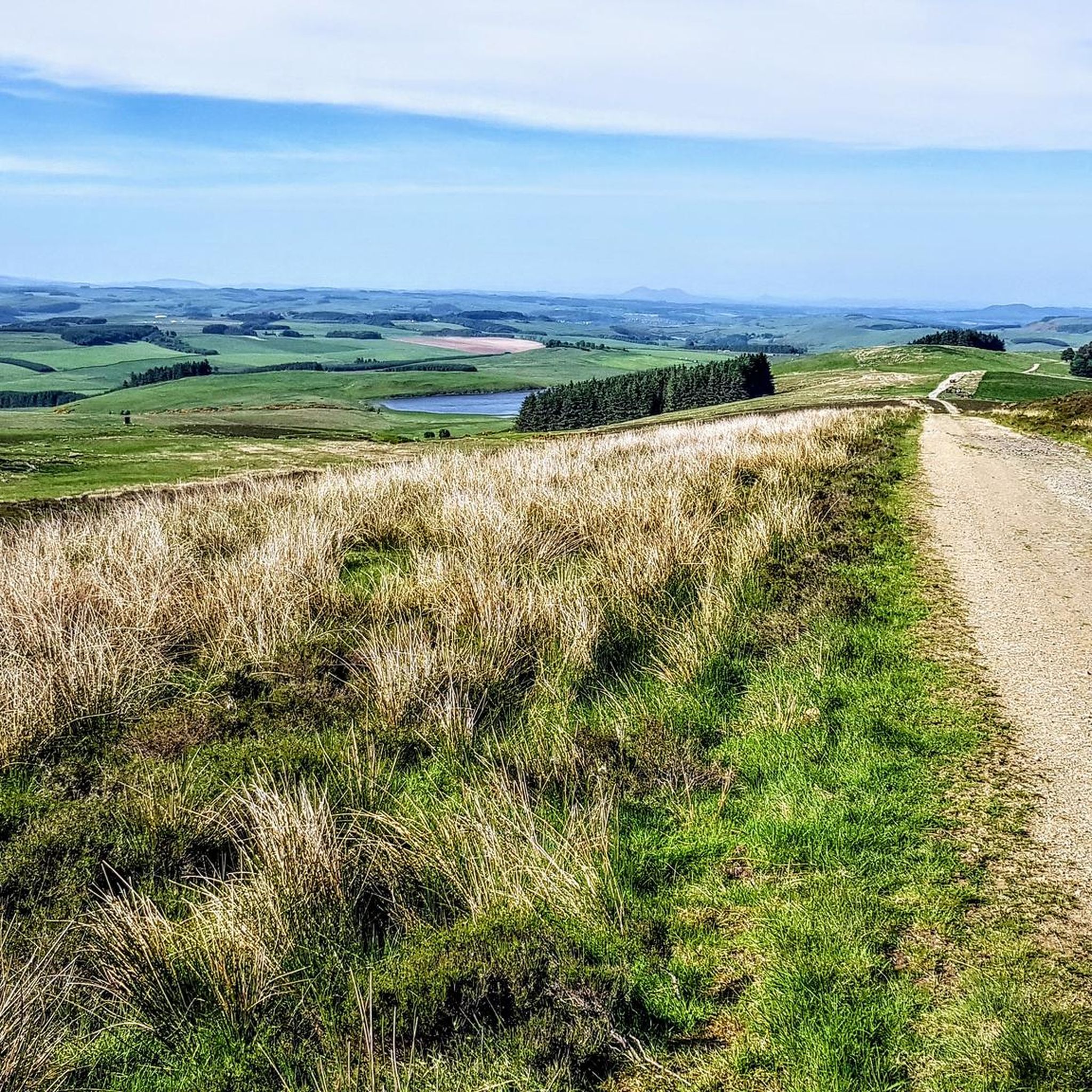
Gravel biking around Burnfoot features challenging routes across varied terrain. The region is characterized by rolling hills, open moorland, and forested tracks, often incorporating significant elevation gains. Gravel bike trails in Burnfoot frequently pass by lochs and historical viaducts, offering diverse landscapes for experienced riders. These routes are generally long and demanding, suitable for advanced gravel routes Burnfoot.
Best gravel bike trails around Burnfoot
- The most popular gravel bike trail is Rolling Climb to the Moor – Shankend Viaduct loop…
Last updated: October 20, 2026
4.5
(2)
40
riders
61.0km
04:27
950m
950m
Hard gravel ride. Very good fitness required. Mostly paved surfaces. Suitable for all skill levels.
5
riders
58.4km
04:22
850m
850m
Hard gravel ride. Very good fitness required. Mostly paved surfaces. Suitable for all skill levels.

3
riders
46.6km
03:03
600m
600m
Hard gravel ride. Very good fitness required. Mostly paved surfaces. Suitable for all skill levels.
3
riders
43.8km
03:09
630m
630m
Hard gravel ride. Very good fitness required. Mostly paved surfaces. Suitable for all skill levels.
5.0
(1)
2
riders
88.1km
06:32
1,190m
1,190m
Hard gravel ride. Very good fitness required. Mostly paved surfaces. Suitable for all skill levels.
Our route recommendations are based on thousands of hikes, rides, and runs completed by other people on komoot.
Start today with a free account
Your next adventure awaits.

Tips from the Community

Great little community cafe with bike parking. Do a sunday roast but have to book. Filled rolls, coffee and cakes all excellent.
0
0

Photos don't do this place justice. On the Sunday in November I visited I was able to get get soup and a coffee in the lovely cafe area, and a dozen locals had booked to eat Sunday lunch
0
0

Perfectly set up for cyclists and an amazing example of how all community hubs should be.
0
0


The bridge goes over a narrower central section of Alemoor Reservoir. I thought the would be more sighs of human life here, but away from Hawick there are very few people about, just occasional vehicles and human life. There is the odd bike going around, mainly road bikes
0
0
There are some great views around this area. The old railtrack is elevated and you can see through the valley in different directions. The streams below are meandering, the contour of the land, the different types of greenery. Great place to stop and sit down for a moment and appreciate the location
0
0
Both sides of the road at this location have pig farms. Each family of pigs has it's own segment, I think the mother pig was the parent with loads of piglets running to her. Nice sight to see
1
0
View from Crowbyres Bridge which is located on the south east edge of Hawick, exiting the town on the B6399 road
0
0
Frequently Asked Questions
How many gravel bike trails are available in Burnfoot?
There are currently 5 challenging gravel bike trails documented around Burnfoot on komoot, offering diverse landscapes for experienced riders.
Are there any easy or family-friendly gravel bike trails in Burnfoot?
The gravel bike trails in Burnfoot are generally long and demanding, characterized by significant elevation gains and varied terrain. They are primarily suitable for advanced riders seeking challenging routes, rather than beginners or families looking for easy rides.
What is the typical length and duration of gravel bike trails in Burnfoot?
The gravel bike trails in Burnfoot vary in length, with routes ranging from approximately 27 miles (43.9 km) to over 55 miles (88.3 km). Durations can range from around 3 hours to over 7 hours, depending on the specific route and your pace. For example, the Alemoor Loch – Drinkstone Hills loop from Hawick is about 27.3 miles, while the Eskdalemuir Forest Track – Eskdalemuir Community Hub loop from Lynnwood extends to 55 miles.
What kind of terrain can I expect on Burnfoot's gravel bike routes?
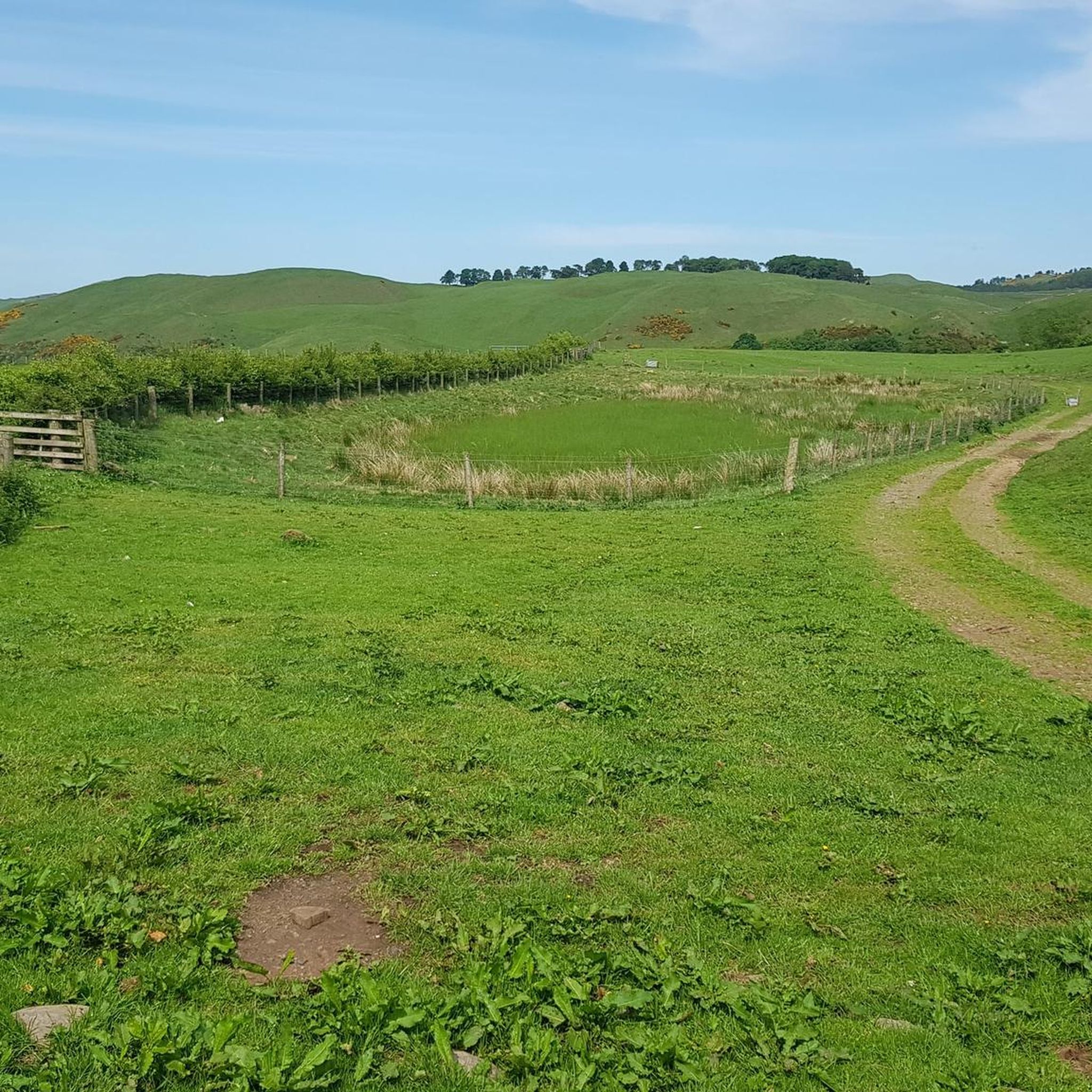
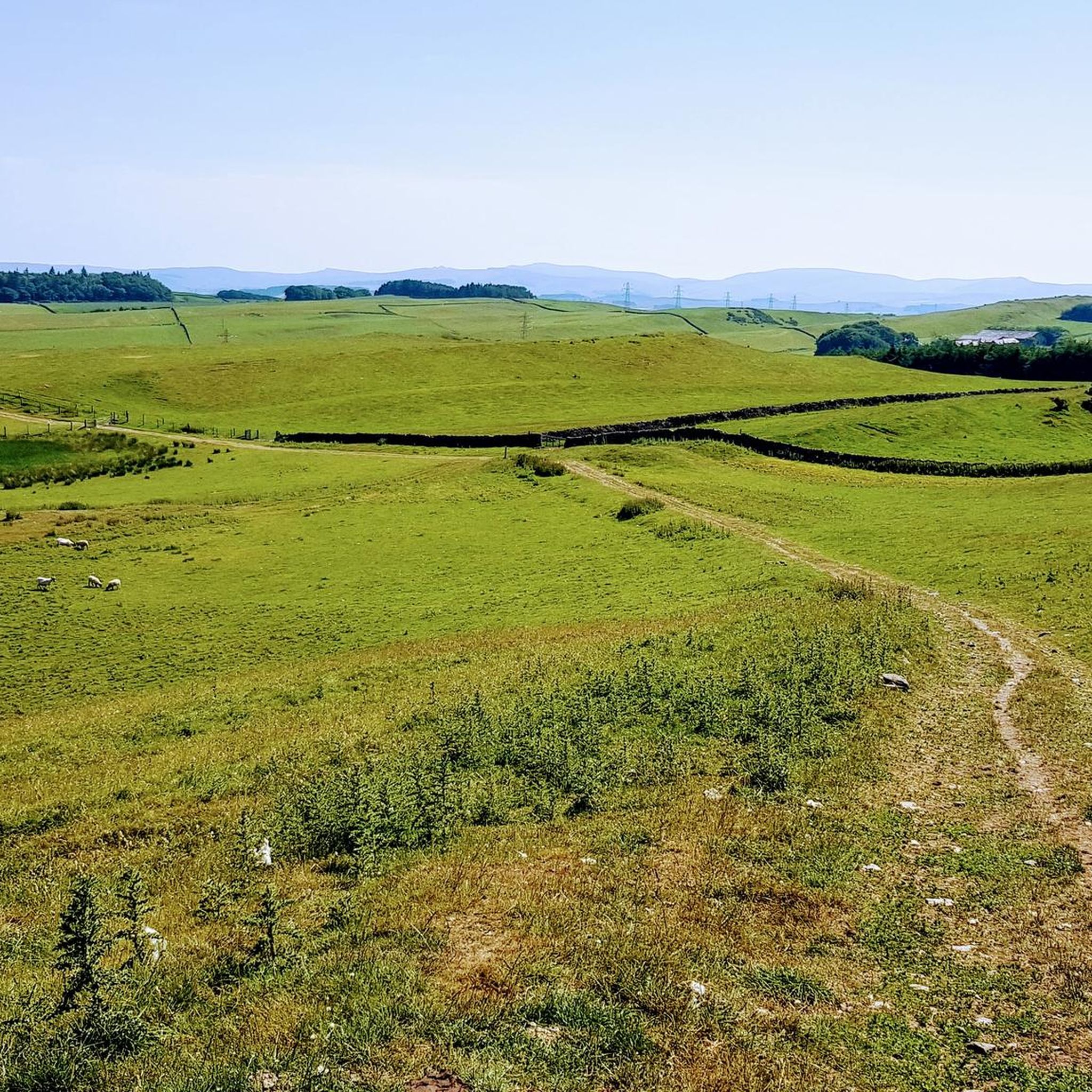
Burnfoot's gravel bike routes feature a mix of rolling hills, open moorland, and forested tracks. You'll encounter varied terrain with significant elevation gains, often passing by scenic lochs and historical viaducts, providing a challenging and diverse riding experience.
Are there any scenic viewpoints or natural attractions along the gravel trails?
Yes, the trails often pass by notable natural features and offer scenic views. You might encounter lochs like Leahead Loch or Headshaw Loch. Some routes also lead past historical sites such as the Shankend Viaduct or offer views from summits like Rubers Law Summit.
What is the best season for gravel biking in Burnfoot?
While gravel biking is possible year-round, the best seasons are typically spring and autumn when the weather is milder and the landscapes are particularly vibrant. Summer offers longer daylight hours but can be warmer, while winter riding may involve colder temperatures and potentially challenging conditions on exposed moorland tracks.
Are there any loop routes available for gravel biking in Burnfoot?
Yes, many of the gravel bike trails in Burnfoot are designed as loops, allowing you to start and finish at the same point. Examples include the Rolling Climb to the Moor – Shankend Viaduct loop from Newmill and the Stobs War Memorial – Shankend Viaduct loop from Ashybank.
What do other gravel bikers say about the trails in Burnfoot?
The gravel biking routes in Burnfoot are highly rated by the komoot community, with an average score of 5.0 stars from over 2 reviews. Riders often praise the challenging nature of the routes, the diverse landscapes, and the sense of adventure found on the rolling hills and moorland tracks.
Are there any historical landmarks to see while gravel biking in Burnfoot?
Yes, several routes incorporate historical landmarks. For instance, the Stobs War Memorial – Shankend Viaduct loop from Ashybank passes by the Shankend Viaduct and the Stobs War Memorial. You might also encounter other historical sites like Bonchester Hill Cairn.
What are the typical weather conditions for gravel biking in Burnfoot?
Burnfoot's weather can be variable, typical of a region with open moorland. Expect conditions to change, and be prepared for wind, especially on exposed sections. Rainfall can occur throughout the year, so waterproof gear is advisable. Always check the local forecast before heading out.
Is public transport an option for accessing gravel bike trails in Burnfoot?
While specific public transport links directly to trailheads may be limited, some routes start from towns like Hawick, which may have bus services. It's recommended to research local bus routes or consider driving to a suitable starting point with parking, as many trails venture into more remote areas.
Most popular attractions around Burnfoot

Get inspired with the komoot mobile app


Explore more
Browse the best Gravel rides in other regions.
