The best gravel rides in Breitlüsser Wald
4.6
(26)
145
riders
32
rides
Gravel biking in Breitlüsser Wald offers a network of routes characterized by varied terrain and significant elevation changes. The region features dense woodlands and rolling hills, providing a mix of challenging climbs and scenic descents suitable for gravel bikes. These trails often traverse through natural landscapes, including valleys and areas around ponds, with routes ranging from moderate to difficult.
Best gravel bike trails in Breitlüsser Wald
- The most popular gravel bike trail is Mirellen Stüberl – Mirellenbachtal East loop from…
Last updated: July 3, 2026
3
riders
34.3km
02:40
640m
640m
Hard gravel ride. Very good fitness required. Mostly paved surfaces. Suitable for all skill levels.
5.0
(3)
6
riders
Hard gravel ride. Very good fitness required. Mostly paved surfaces. Suitable for all skill levels.

Sign up for free
3
riders
Hard gravel ride. Very good fitness required. Mostly paved surfaces. Suitable for all skill levels.
2
riders
26.5km
01:52
420m
420m
Moderate gravel ride. Good fitness required. Mostly paved surfaces. Suitable for all skill levels.
4.0
(7)
23
riders
54.3km
03:29
810m
810m
Hard gravel ride. Very good fitness required. Mostly paved surfaces. Suitable for all skill levels.
Get access to more routes and recommendations from other explorers.
Sign up for free
Already have an account?
Our route recommendations are based on thousands of hikes, rides, and runs completed by other people on komoot.
Start today with a free account
Your next adventure awaits.
Login or Signup
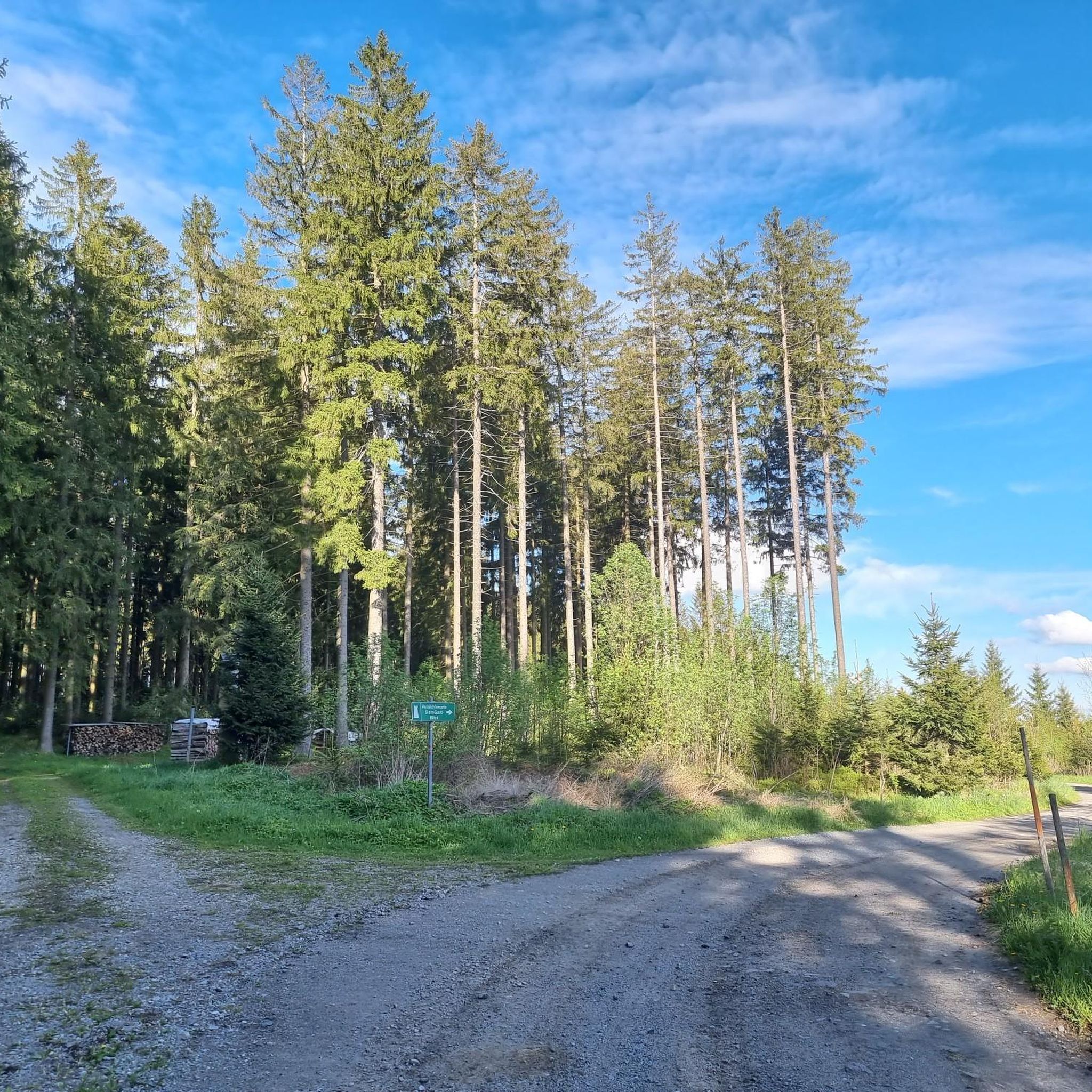
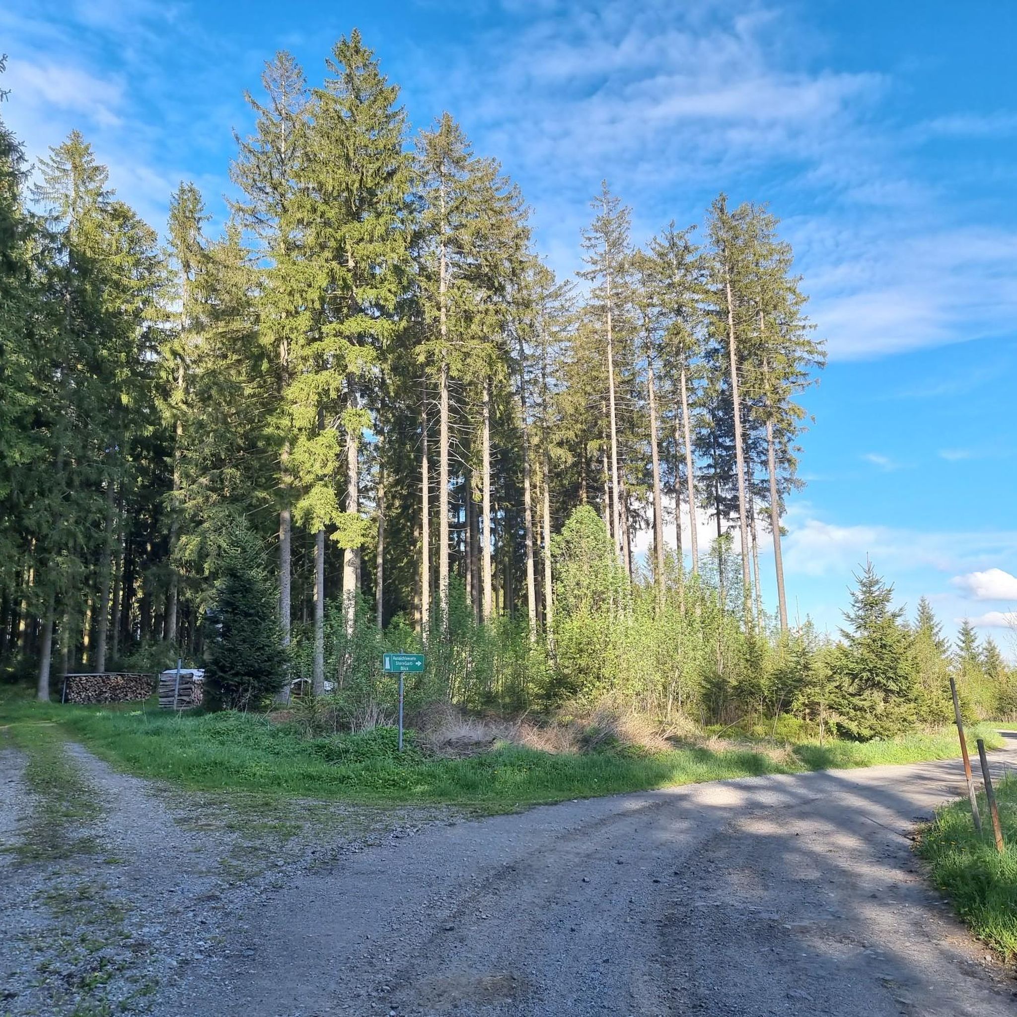
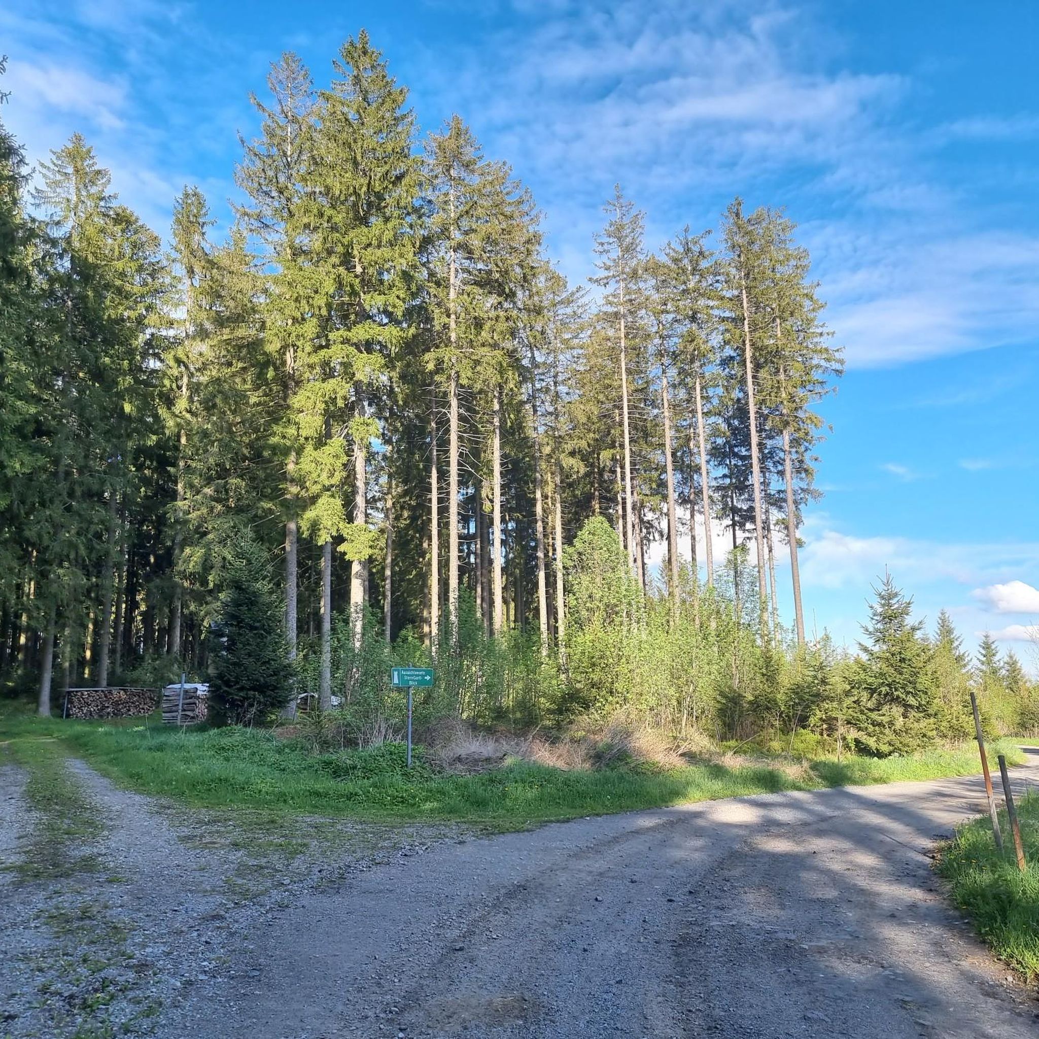
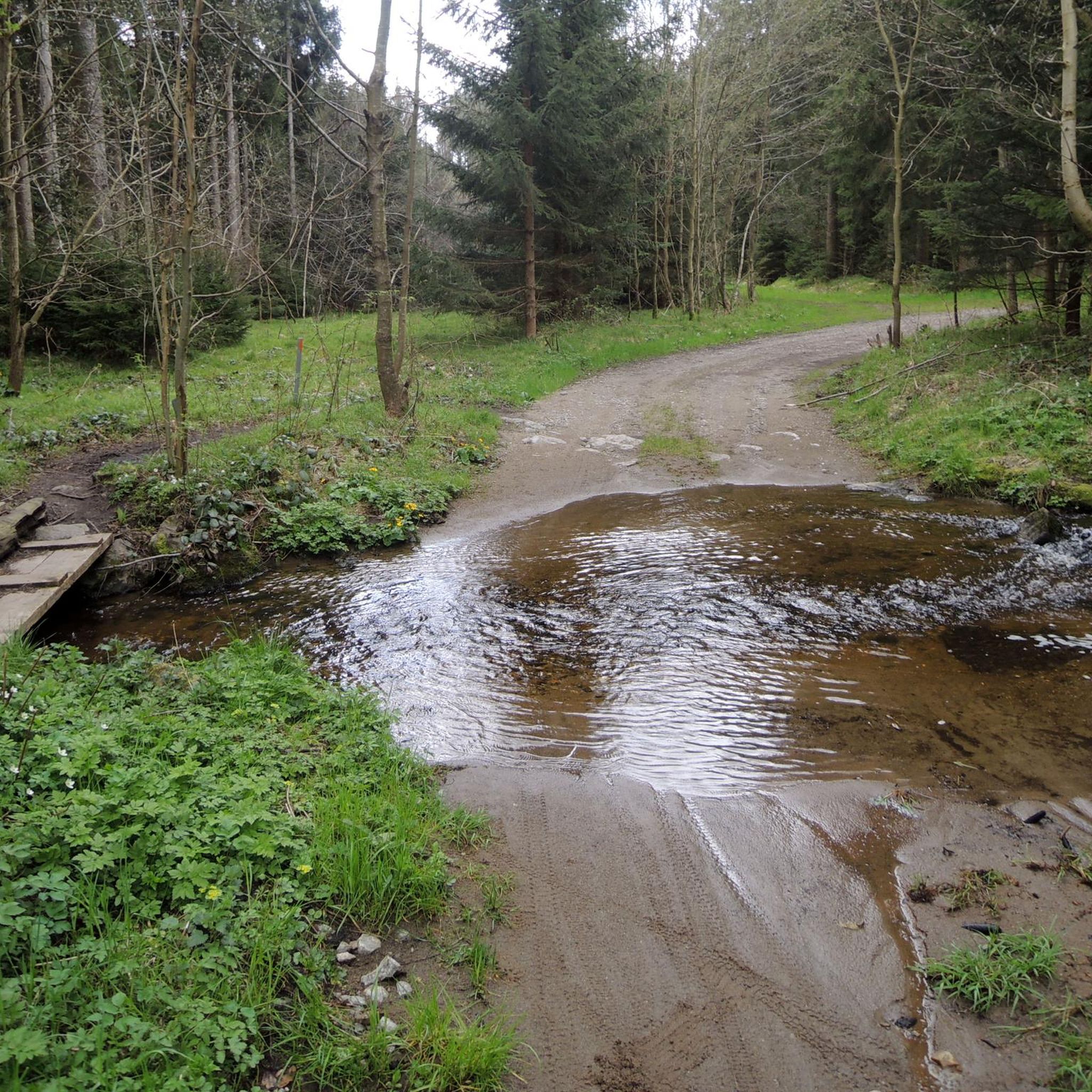

Tips from the Community

Very nice tour for all Ebikes !!!!
0
0

Beautiful bike path, beautiful view.
0
0
Beautiful cycle path and Vltava
0
0
Beautiful new cycle path along the Vltava
1
0

It points to a geological condition whereby the Rodl flows into the Danube and this in turn into the Black Sea, while on the other hand the Granitzbach flows into the Vltava, Elbe and North Sea.
6
0
Small border crossing for pedestrians and cyclists
6
0
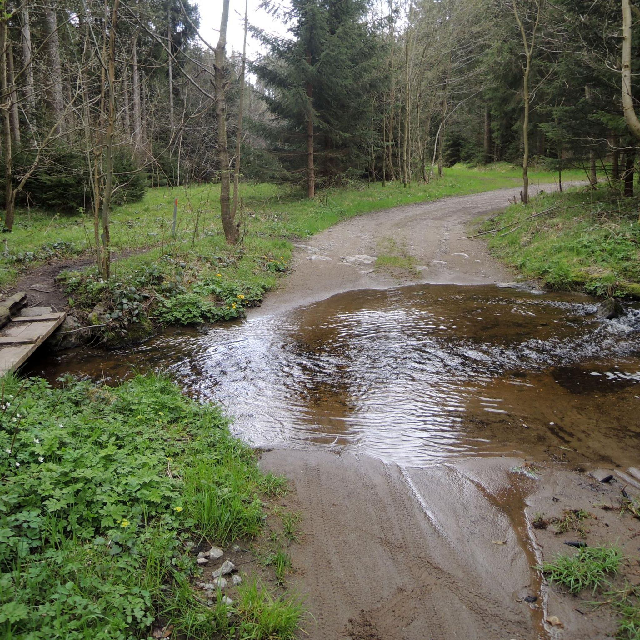
Water source: It is unclear whether the water runs year-round.
5
0
Forest inn on the southern slope of the Sternstein at 960 m above sea level in an absolutely quiet location.
6
0
Frequently Asked Questions
How many gravel bike trails are available in Breitlüsser Wald?
Breitlüsser Wald offers a comprehensive network of over 45 gravel bike trails. These routes vary in difficulty, with 12 moderate and 33 difficult options, ensuring diverse experiences for riders.
Are there any beginner-friendly gravel bike trails in Breitlüsser Wald?
While many routes in Breitlüsser Wald are rated moderate to difficult, there are no trails specifically categorized as 'easy'. The region's terrain is characterized by rolling hills and significant elevation changes, making most routes suitable for riders with some experience. The easiest available option is the Parish Church of Hellmonsödt – Hellmonsödt loop from Altenberg bei Linz, which is rated moderate.
What are the typical lengths of gravel bike trails in Breitlüsser Wald?
The gravel bike trails in Breitlüsser Wald vary in length. For instance, the moderate Parish Church of Hellmonsödt – Hellmonsödt loop from Altenberg bei Linz is about 26.5 km (16.4 miles), while more challenging routes like the Ottenschlag Landscape Pond – Ottenschlag Bathing Pond loop from Bezirk Urfahr-Umgebung extend to approximately 44.1 km (27.4 miles).
Are there any circular gravel routes in Breitlüsser Wald?
Yes, many of the gravel bike trails in Breitlüsser Wald are designed as circular routes. Examples include the challenging Mirellen Stüberl – Mirellenbachtal East loop from Hellmonsödt and the scenic Ottenschlag Bathing Pond – Ottenschlag Landscape Pond loop from Bezirk Urfahr-Umgebung, both offering varied landscapes and returning to their starting points.
What kind of terrain can I expect on the gravel bike trails in Breitlüsser Wald?
The gravel bike trails in Breitlüsser Wald feature varied terrain, including dense woodlands, rolling hills, and paths traversing valleys and areas around ponds. You can expect a mix of challenging climbs and scenic descents, characteristic of the region's natural landscapes.
What do other gravel bikers enjoy most about Breitlüsser Wald?
The area is highly rated by the komoot community, with an average score of 4.7 stars from over 27 reviews. Reviewers often praise the varied terrain, the challenging climbs, and the scenic beauty of the dense woodlands and pond areas.
Are there any notable landmarks or points of interest along the gravel bike trails?
Yes, Breitlüsser Wald offers several interesting points of interest. You might encounter historical sites like the French cross / stone cross in Kirchbühel or natural features such as the Witch Stone. The Waldkapelle Oberaigen "Mary, Queen of Peace" is another highlight worth visiting.
What is the best time of year for gravel biking in Breitlüsser Wald?
While specific seasonal data isn't provided, the varied terrain and woodlands of Breitlüsser Wald suggest that spring and autumn offer ideal conditions with pleasant temperatures and vibrant scenery. Summer can also be enjoyable, though some routes might be more exposed to sun. Winter conditions could bring snow and ice, making trails more challenging or impassable.
Are there any advanced gravel biking routes for experienced riders?
Absolutely. Breitlüsser Wald is well-suited for advanced gravel bikers, with 33 out of 45 routes rated as difficult. Trails like the View of Bad Leonfelden – Brunnwald Forest loop from Bad Leonfelden offer significant elevation gains and technical sections, providing a substantial workout and thrilling experience.
Are there any cafes or places to stop for refreshments along the gravel bike routes?
While specific cafes directly on every route are not detailed, the region includes towns and villages such as Hellmonsödt and areas around Ottenschlag, where you can typically find local establishments for refreshments. The Mirellen Stüberl – Mirellenbachtal East loop from Hellmonsödt even starts near a named establishment, suggesting opportunities for a break.
What are the elevation changes like on gravel bike trails in Breitlüsser Wald?
Gravel bike trails in Breitlüsser Wald feature significant elevation changes. For example, the Mirellen Stüberl – Mirellenbachtal East loop from Hellmonsödt involves an ascent of over 630 meters, while the Ottenschlag Landscape Pond – Ottenschlag Bathing Pond loop from Bezirk Urfahr-Umgebung includes over 810 meters of climbing, providing a good challenge for riders.
Most popular routes in Breitlüsser Wald
Most popular attractions in Breitlüsser Wald

Get inspired with the komoot mobile app


Explore more
Browse the best Gravel rides in other regions.
