The best walks and hikes in Breitlüsser Wald
4.6
(2721)
18,725
hikers
846
hikes
Hiking in Breitlüsser Wald offers a network of trails through dense woodlands and rolling hills. The region, located in Bezirk Urfahr-Umgebung, features varied terrain with moderate elevation changes, making it suitable for different hiking abilities. Hikers can explore historical landmarks such as castle ruins and open-air museums integrated into the natural landscape.
Best hiking trails in Breitlüsser Wald
- The most popular hiking route is Pelmberg Stüberl – Pelmbergstüberl loop from Hellmonsödt, a 4.0 miles (6.5 km) trail that takes…
Last updated: June 27, 2026
3.6
(9)
79
hikers
6.45km
01:46
100m
100m
Easy hike. Great for any fitness level. Easily-accessible paths. Suitable for all skill levels.
4.7
(15)
56
hikers
7.78km
02:30
340m
340m
Moderate hike. Good fitness required. Easily-accessible paths. Suitable for all skill levels.

Sign up for free
5.0
(7)
41
hikers
Moderate hike. Good fitness required. Easily-accessible paths. Suitable for all skill levels.
4.6
(5)
23
hikers
Easy hike. Great for any fitness level. Easily-accessible paths. Suitable for all skill levels.
4.5
(4)
14
hikers
Easy hike. Great for any fitness level. Easily-accessible paths. Suitable for all skill levels.
Get access to more routes and recommendations from other explorers.
Sign up for free
Already have an account?
Our route recommendations are based on thousands of hikes, rides, and runs completed by other people on komoot.
Start today with a free account
Your next adventure awaits.
Login or Signup


Tips from the Community

The parish church of St. Anne, with its attached parish office and parish hall, is well worth a visit.
0
0

It took a while, and I walked around the stone twice before I spotted the "witch"... I also took a great photo where she's clearly visible... (Picture 6) 🧹
1
0
Beautiful view of the treetops...YES To be honest, I expected more from the observation tower... But it was still nice to have been up there 🫶
1
0

Cozy guesthouse with great food
0
0

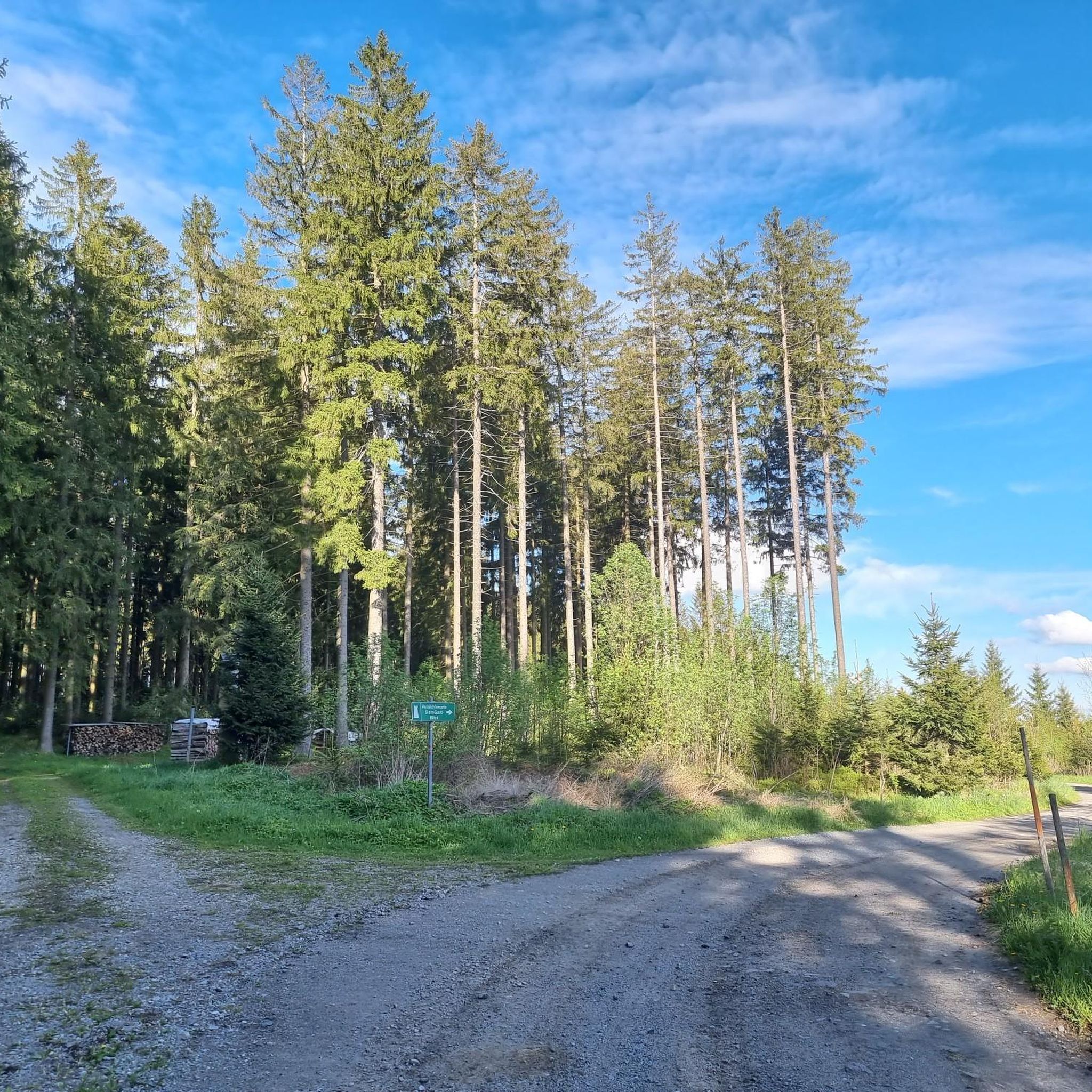
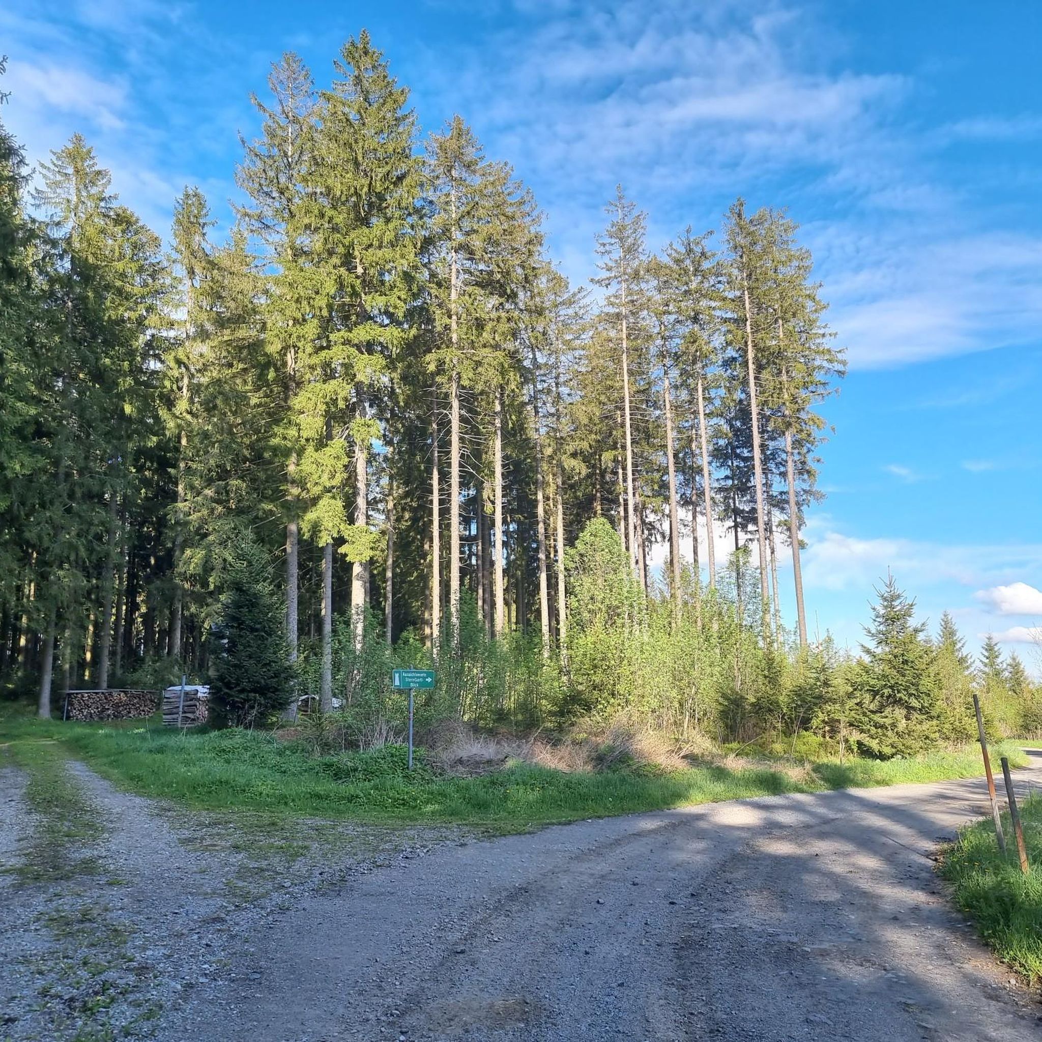
The sturdy, tall tower is now surrounded by equally tall trees - the view over the surrounding area to Reichenau is still clear, but towards the Alps a row of trees is already blocking the view.
0
0


It's magical that there's nothing to be found on the www about the mysterious stone in the forest that's signposted. All the better, because then you can let your imagination run wild and imagine or feel stories about the witch's stone when you are in this hidden place.
2
0
Frequently Asked Questions
How many hiking trails are available in Breitlüsser Wald?
Breitlüsser Wald offers an extensive network of over 860 hiking trails. This includes a wide variety of options, from easy strolls to more challenging moderate routes.
What is the general difficulty level of hikes in Breitlüsser Wald?
The trails in Breitlüsser Wald cater to various abilities. You'll find approximately 395 easy routes, 439 moderate routes, and 27 more challenging difficult trails, ensuring options for every hiker.
What kind of landscapes and natural features can I expect to see while hiking?
Hiking in Breitlüsser Wald is characterized by dense woodlands and rolling hills. The region also integrates historical landmarks into the natural landscape, such as castle ruins and open-air museums. You might also encounter natural monuments like the Witch Stone.
Are there any easy hiking trails suitable for beginners or families?
Yes, there are many easy trails perfect for beginners or families. An excellent option is the Pelmberg Stüberl – Pelmbergstüberl loop from Hellmonsödt, which is 4.0 miles (6.5 km) long with gentle elevation changes through forested areas.
Can I find moderate hikes with varied terrain and historical sites?
Absolutely. For a moderate hike with varied terrain and historical interest, consider the Wildberg Castle Ruins – Insect Hotel Kirchschlag loop from Kirchschlag bei Linz. This 5.0-mile (8.0 km) path includes ascents to historical sites like the Wildberg Castle Ruins.
Are there circular hiking routes in Breitlüsser Wald?
Many of the trails in Breitlüsser Wald are designed as circular routes, allowing you to start and end at the same point. An example is the Reichenau Castle Ruins – Viewpoint Bench Above Wirth loop from Haibach im Mühlkreis, which offers forested hills and viewpoints.
What do other hikers say about the trails in Breitlüsser Wald?
The komoot community highly rates the trails in Breitlüsser Wald, with an average score of 4.6 stars from over 2,400 reviews. Hikers often praise the varied terrain, well-maintained paths, and the blend of natural beauty with historical landmarks.
Are there any specific landmarks or points of interest I should look out for?
Beyond the natural beauty, Breitlüsser Wald features several points of interest. You can explore historical sites like the French cross / stone cross in Kirchbühel or the serene Waldkapelle Oberaigen "Mary, Queen of Peace".
Are there any trails that offer good viewpoints?
Yes, several trails lead to scenic viewpoints. The Reichenau Castle Ruins – Viewpoint Bench Above Wirth loop from Haibach im Mühlkreis is known for its forested hills and benches offering views over the surrounding landscape.
What is the typical duration for a hike in Breitlüsser Wald?
Hike durations vary widely depending on the trail's length and difficulty. For example, an easy route like the Pelmberg Stüberl – Pelmbergstüberl loop typically takes about 1 hour 45 minutes, while moderate trails can take 2-3 hours or more.
Are there any trails that pass by open-air museums?
Yes, some routes incorporate cultural sites. The Pelmbergstüberl – Pelmberg Open-Air Museum loop from Freilichtmuseum Pelmberg is an easy trail that passes by the Pelmberg Open-Air Museum, offering a blend of nature and history.
Can I find shorter, easy walks in the area?
For a shorter, easy walk, you could consider the Reichenau Castle Ruins – Viewpoint Bench Above Wirth loop from Reichenau im Mühlkreis. This trail is 3.0 miles (4.8 km) and offers a pleasant experience with moderate elevation changes.
Most popular routes in Breitlüsser Wald
Most popular attractions in Breitlüsser Wald

Get inspired with the komoot mobile app


Explore more
Browse the best Hikes in other regions.
