The best gravel rides around Alto
4.7
(17)
397
riders
32
rides
Gravel biking around Alto offers diverse terrain, from mild hills and wooded areas to open views and significant elevation changes. The region features a mix of packed dirt and gravel trails, providing varied landscapes for cyclists. Riders can expect routes that extend into areas with substantial climbs and descents, catering to different skill levels. This environment is characterized by rolling hills, grasslands, and forests, with views of the surrounding valleys.
Best gravel bike trails around Alto
- The most popular gravel…
Last updated: July 1, 2026
4.8
(6)
73
riders
47.4km
04:21
1,270m
1,270m
Hard gravel ride. Very good fitness required. Mostly paved surfaces. Suitable for all skill levels.
5.0
(1)
57
riders
32.6km
02:21
570m
570m
Hard gravel ride. Very good fitness required. Mostly paved surfaces. Suitable for all skill levels.

Sign up for free
15
riders
45.7km
03:59
1,180m
1,180m
Hard gravel ride. Very good fitness required. Mostly paved surfaces. Suitable for all skill levels.
38
riders
63.5km
04:25
1,160m
1,160m
Hard gravel ride. Very good fitness required. Mostly paved surfaces. Suitable for all skill levels.
4.0
(2)
10
riders
19.6km
01:35
430m
430m
Moderate gravel ride. Good fitness required. Mostly paved surfaces. Suitable for all skill levels.
Get access to more routes and recommendations from other explorers.
Sign up for free
Already have an account?
Our route recommendations are based on thousands of hikes, rides, and runs completed by other people on komoot.
Start today with a free account
Your next adventure awaits.
Login or Signup
Tips from the Community


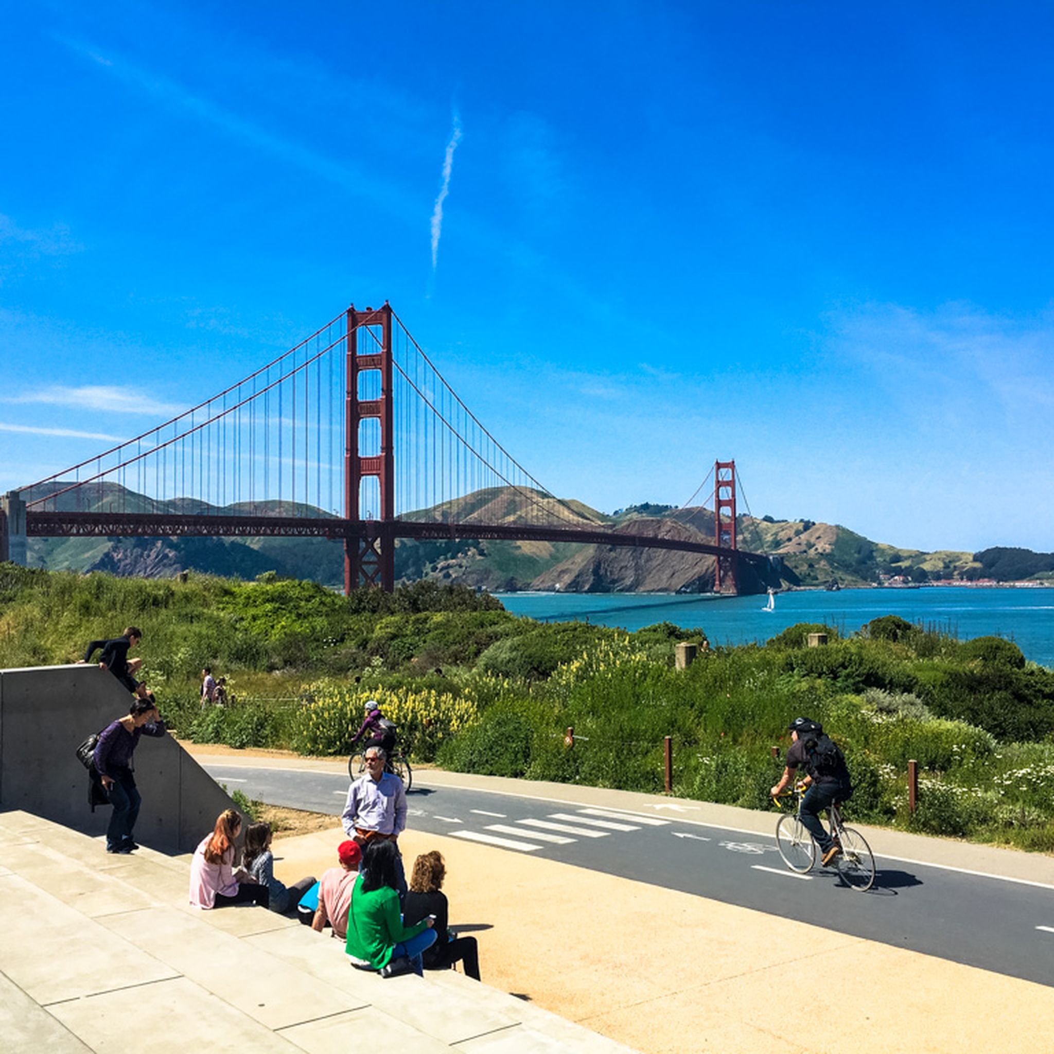
Arrival of the magnificent Golden Gate crossing
0
0

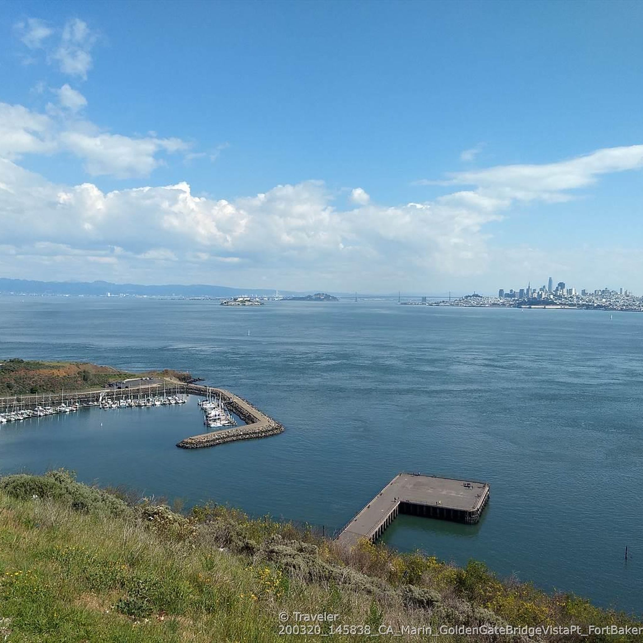
Good vantage point.
0
0

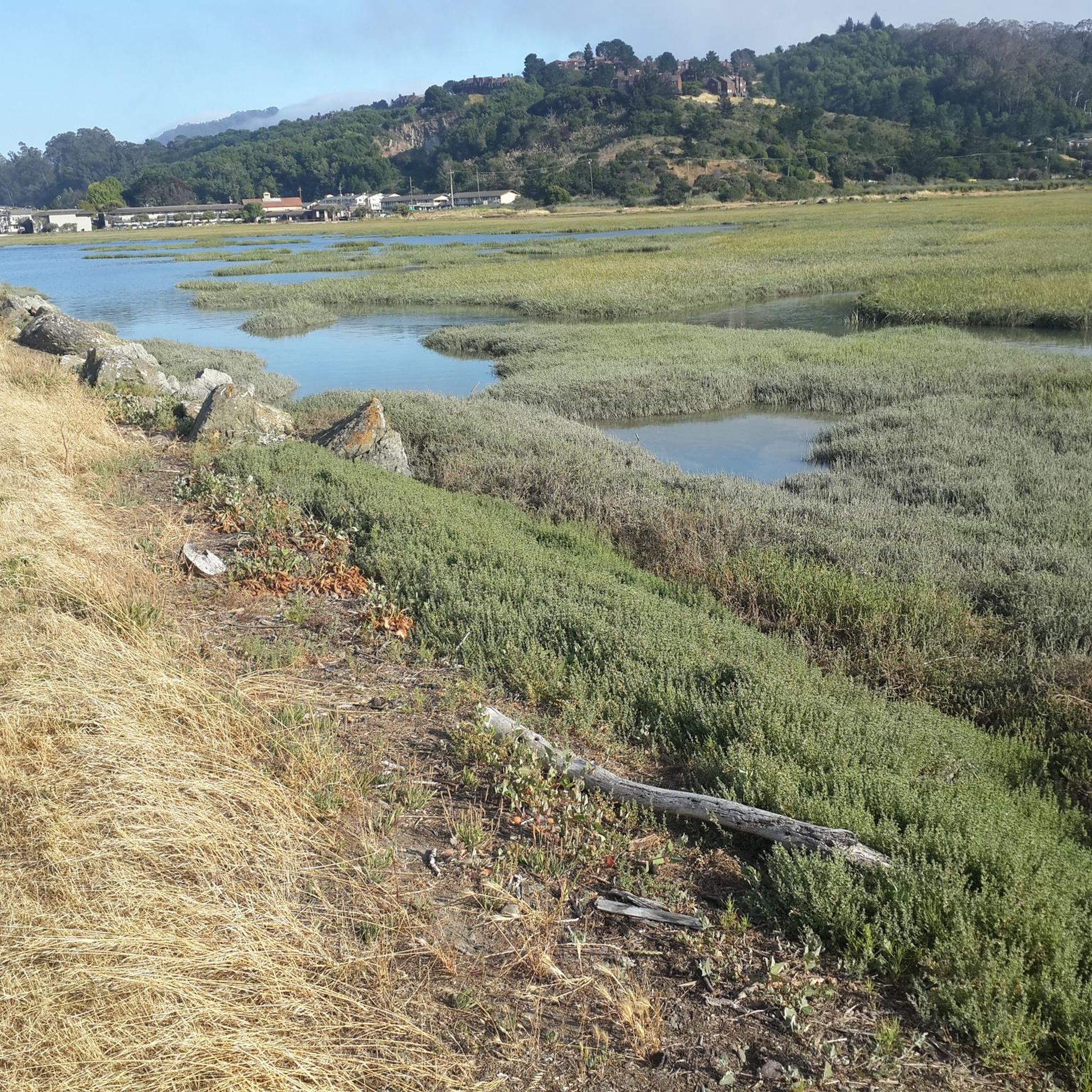
Constructed in 1917 this dam forms Alpine Lake, which sites between Kent and Bon Tempe Lakes. The road across the top of the dam make it a great place to ride on a loop around the lake.
0
0
This lake was formed by the building of Alpine Dam in 1917. It sits between Kent Lake and Bon Tempe Lake, and is popular for a variety of outdoor activities.
0
0


A nice place, but the bike parking fee and the price of an ice cream are a complete rip off!
0
0
Frequently Asked Questions
What kind of terrain can I expect on gravel bike trails around Alto?
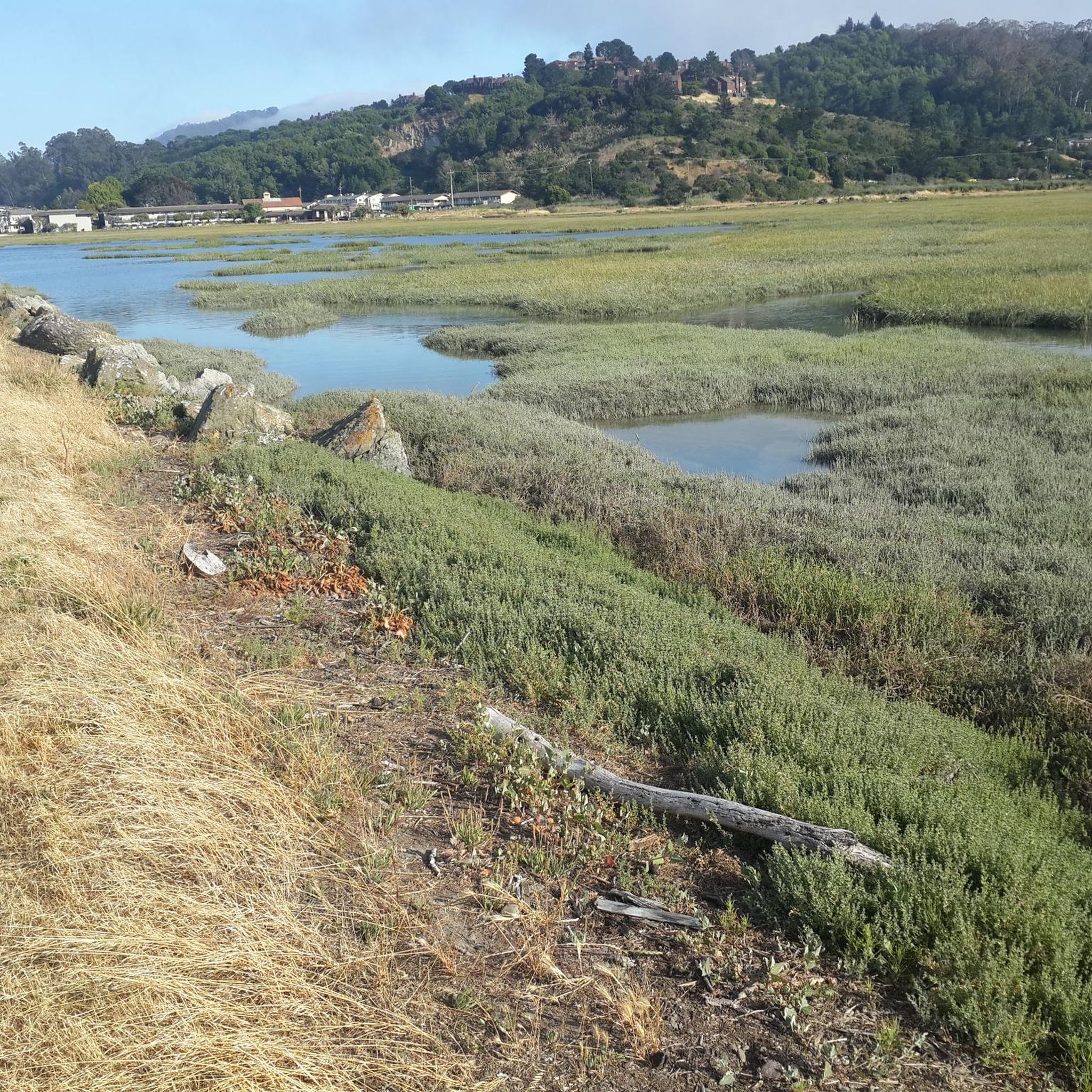
Gravel biking around Alto offers a diverse range of terrain. You'll find everything from flat, multi-use trails through marshlands, such as those in the Palo Alto Baylands Nature Preserve, to routes with mild hills and packed dirt in areas like the Pearson-Arastradero Preserve. For more challenging rides, trails extending into the Santa Cruz Mountains feature significant climbs and descents, often akin to mountain biking.
Are there any easy or beginner-friendly gravel bike trails in Alto?
While many of the routes around Alto, particularly those listed in this guide, are rated as difficult, the region does offer options for less experienced riders. The Palo Alto Baylands Nature Preserve, for example, provides flat gravel routes suitable for nearly any bike, making them ideal for family outings or gentle workouts. These trails are mostly non-technical with minimal elevation changes.
How many gravel bike trails are available in the Alto area?
There are over 40 gravel bike trails available in the Alto area, with 12 routes rated as moderate and 30 as difficult. This wide selection ensures there's a suitable challenge for various skill levels, from those seeking a moderate workout to experienced riders looking for demanding climbs and descents.
What do other gravel bikers enjoy most about riding in Alto?
The gravel biking routes in Alto are highly rated by the komoot community, with an average score of 4.6 stars from over 13 reviews. Riders frequently praise the varied terrain, which includes everything from quiet wooded areas to open views, and the challenging nature of many trails that offer significant elevation gains.
Are there any circular gravel bike routes around Alto?
Yes, many of the popular gravel bike routes around Alto are designed as loops. For instance, you can explore the challenging Pantoll Road loop from Mill Valley, or the Railroad Grade Fire Road loop from Mill Valley, which takes you through wooded areas and offers open views.
What are some scenic viewpoints or landmarks I can see along the gravel bike trails?
The Alto area offers several scenic viewpoints and natural landmarks. You can find stunning vistas like the Golden Gate Bridge Overlook Battery Spencer. Additionally, natural attractions such as the Muir Woods National Monument Entrance and the Cathedral Grove of Giant Redwoods are accessible near some routes, offering unique natural beauty.
Are there any trails suitable for advanced gravel bikers looking for a challenge?
Absolutely. The Alto region is well-suited for advanced gravel bikers. Routes like the Phoenix Lake – Fish Gulch trail junction loop from Mill Valley, spanning over 45 km with significant elevation gain, provide a demanding experience. The Alpine Dam – Fish Gulch trail junction loop from Alta is another long and challenging option, covering over 56 km with substantial climbing.
What kind of natural features can I expect to encounter on the trails?
You'll encounter a variety of natural features, from the undisturbed marshlands and tidal habitats of the Palo Alto Baylands Nature Preserve, perfect for birdwatching, to the wooded areas and open views found in preserves like Pearson-Arastradero. Some trails also lead through areas with significant elevation changes, offering diverse landscapes and ecological zones.
Are there any specific trails that offer a mix of different surfaces?
Yes, many routes in the Alto area feature a mix of surfaces. You can expect packed dirt and gravel trails, with some sections potentially including mild hills or more rugged terrain. For example, the Marincello Trail – Sausalito — Mill Valley Path loop from Alta offers a varied experience with notable climbs and descents across different trail types.
What are some highlights or points of interest for mountain biking near Alto?
Beyond gravel biking, the area around Alto also offers highlights for mountain biking enthusiasts. You can find exciting spots like the Flowy downhill section above Laguna Creek, the Eldridge Grade Fire Rd Trail (upper half) 🚵 Mt Tam, and the Indian Fire Road trail 🚵, which are popular among the komoot community.
Are there any trails that offer views of the San Francisco Bay?
Yes, the Palo Alto Baylands Nature Preserve offers extensive multi-use trails that provide scenic views of the San Francisco Bay. These flat gravel routes are excellent for enjoying the coastal landscape and are also known for birdwatching opportunities.
Most popular attractions around Alto

Get inspired with the komoot mobile app


Explore more
Browse the best Gravel rides in other regions.
